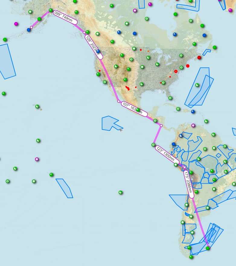
Leg 24: El Alto International Airport, La Paz, Bolivia (SLLP) TO Galeao - Antonio Carlos Jobim Airport, Rio de Janeiro, Brazil (SBGL)
OR “Is it Just Me That Can’t Get This Song Out of His Head?”
Brazil
https://youtu.be/joInwYlVu2w?t=88
You’re welcome. 
Personally, I have found this Christmas trip fascinating. This leg in particular left me doing some serious ruminating…and no small amout of time to do it!
I feel time at my heels. I’d like to think that I am making good progress. And yet when I zoom Skyvector out (and out [and out]), I see how far I have yet to go. But there’s always that little voice in my head that says that I’m missing something fantastic along the way.
Does South America have a Largest Ball of Twine?
A Foamhenge?
Foamhenge, Centreville, Virginia (roadsideamerica.com)
I decided that I must see Rio. After all, I had been humming that damned song for over a week!
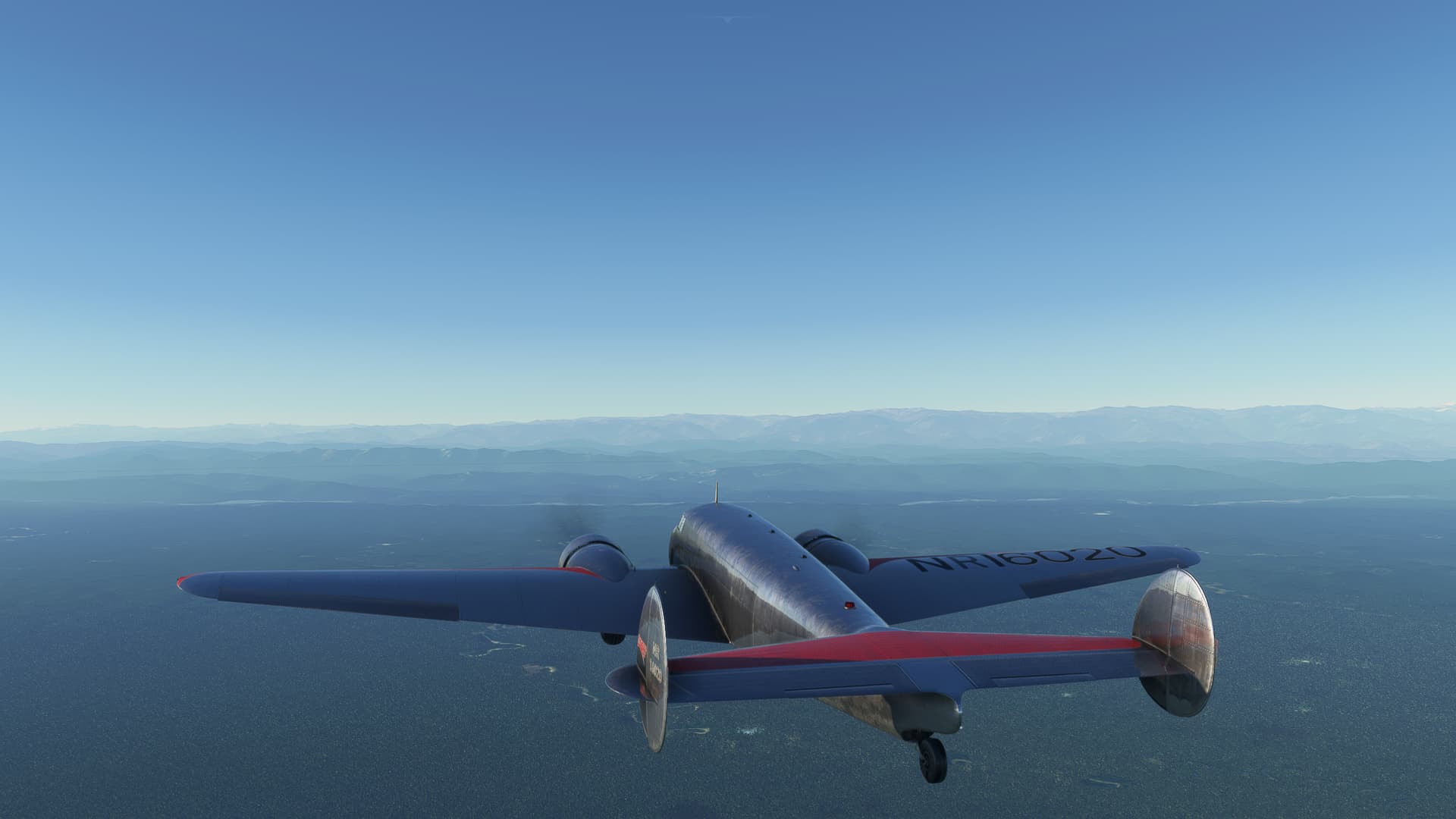
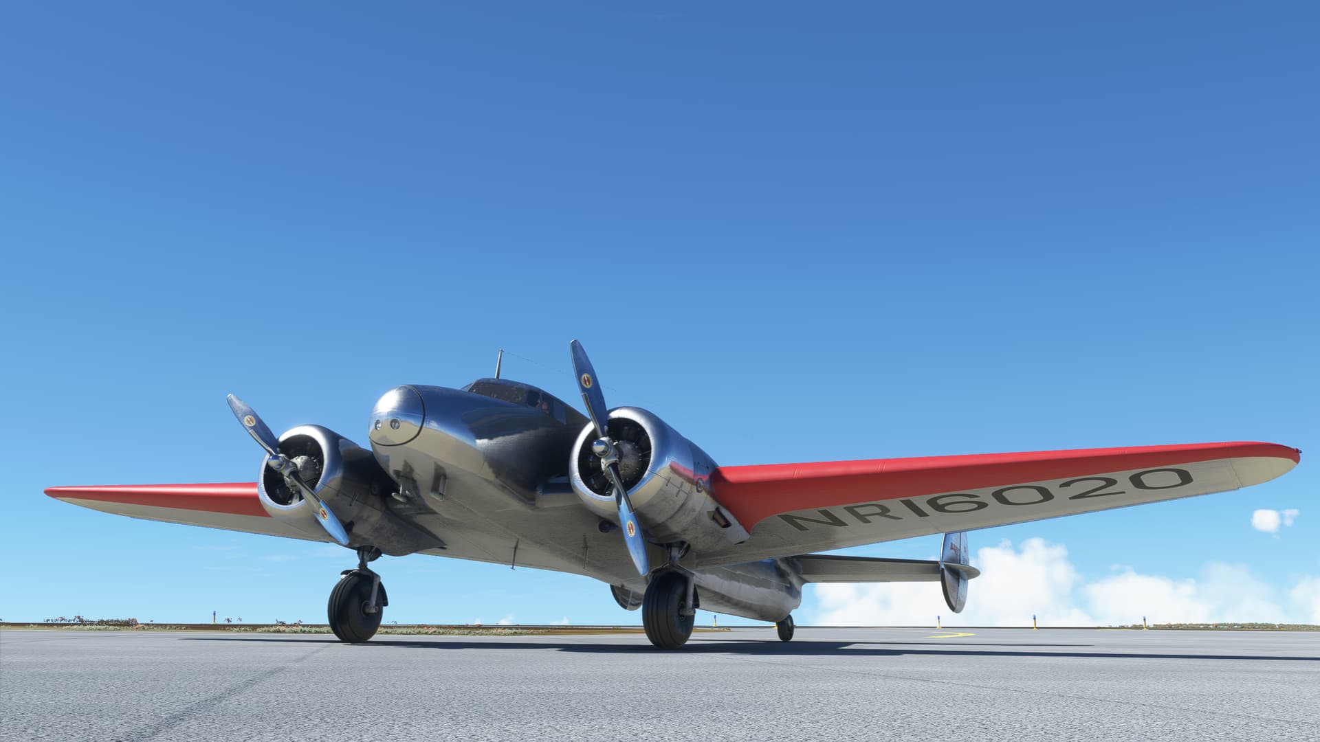
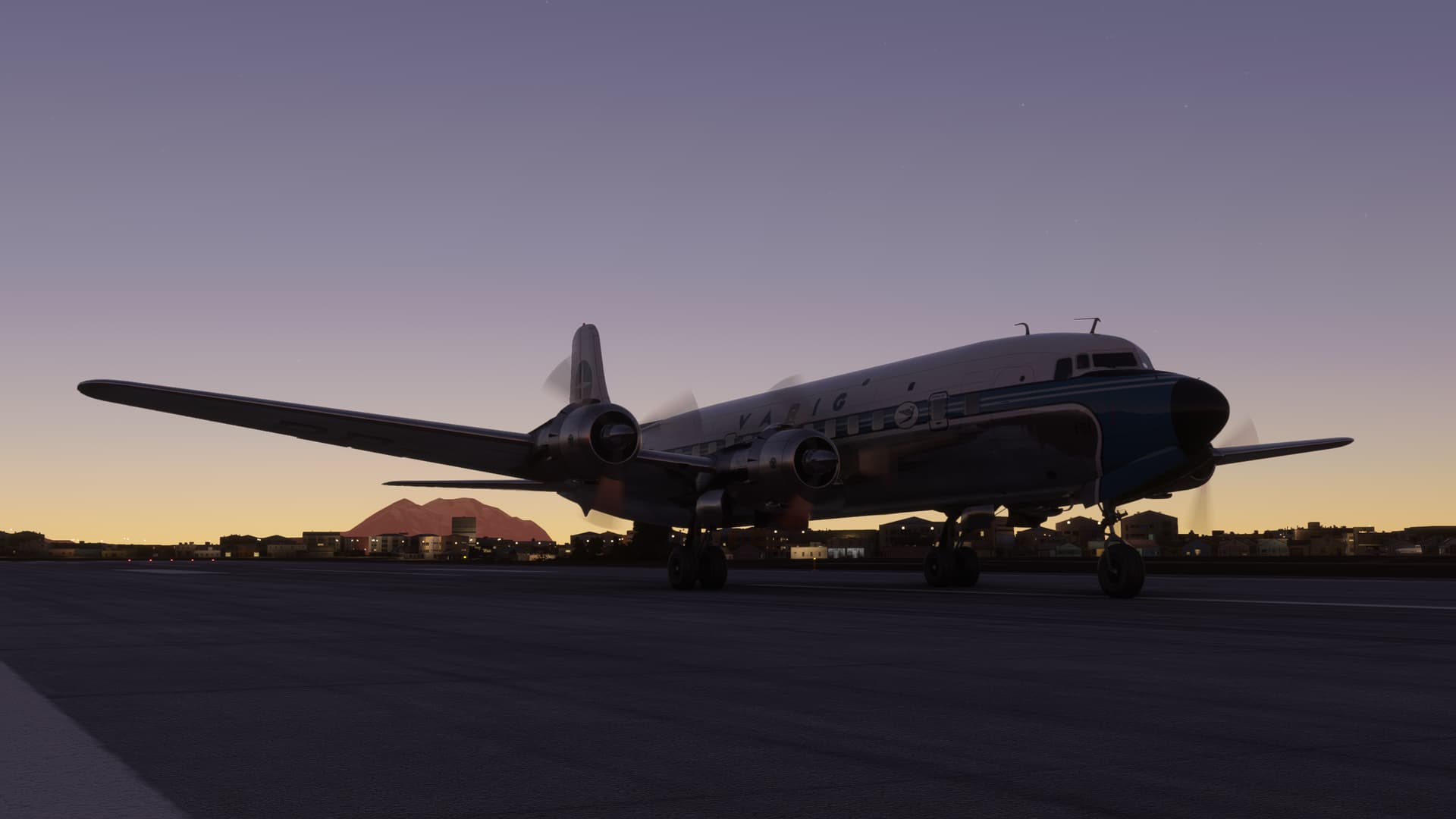
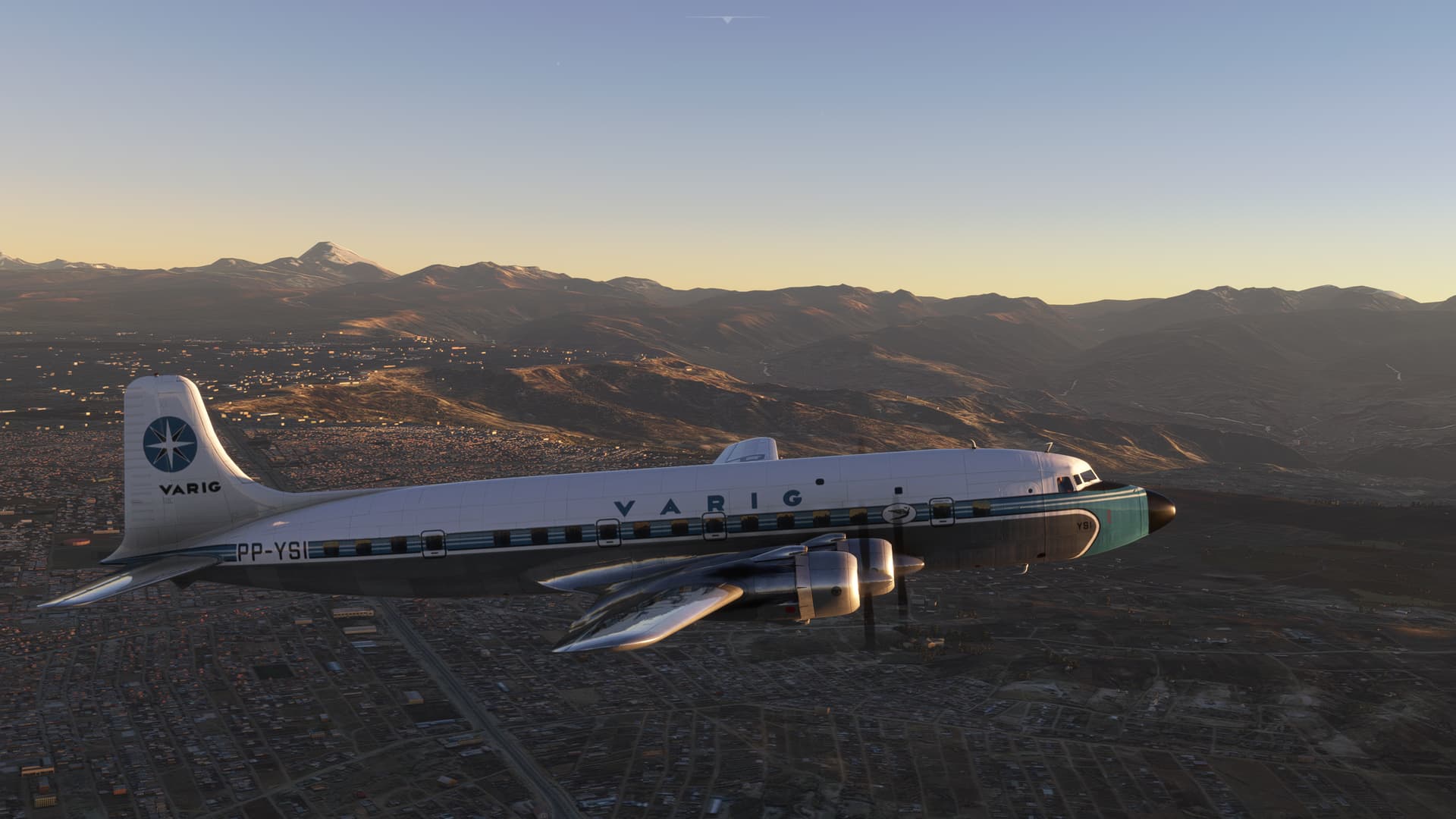
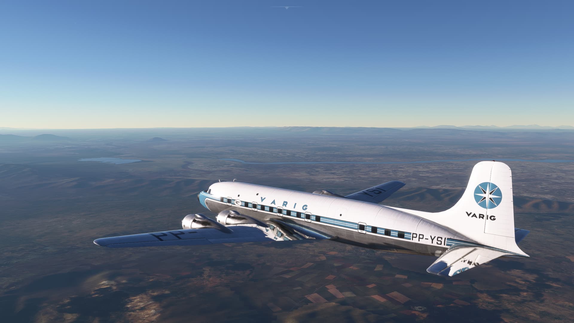
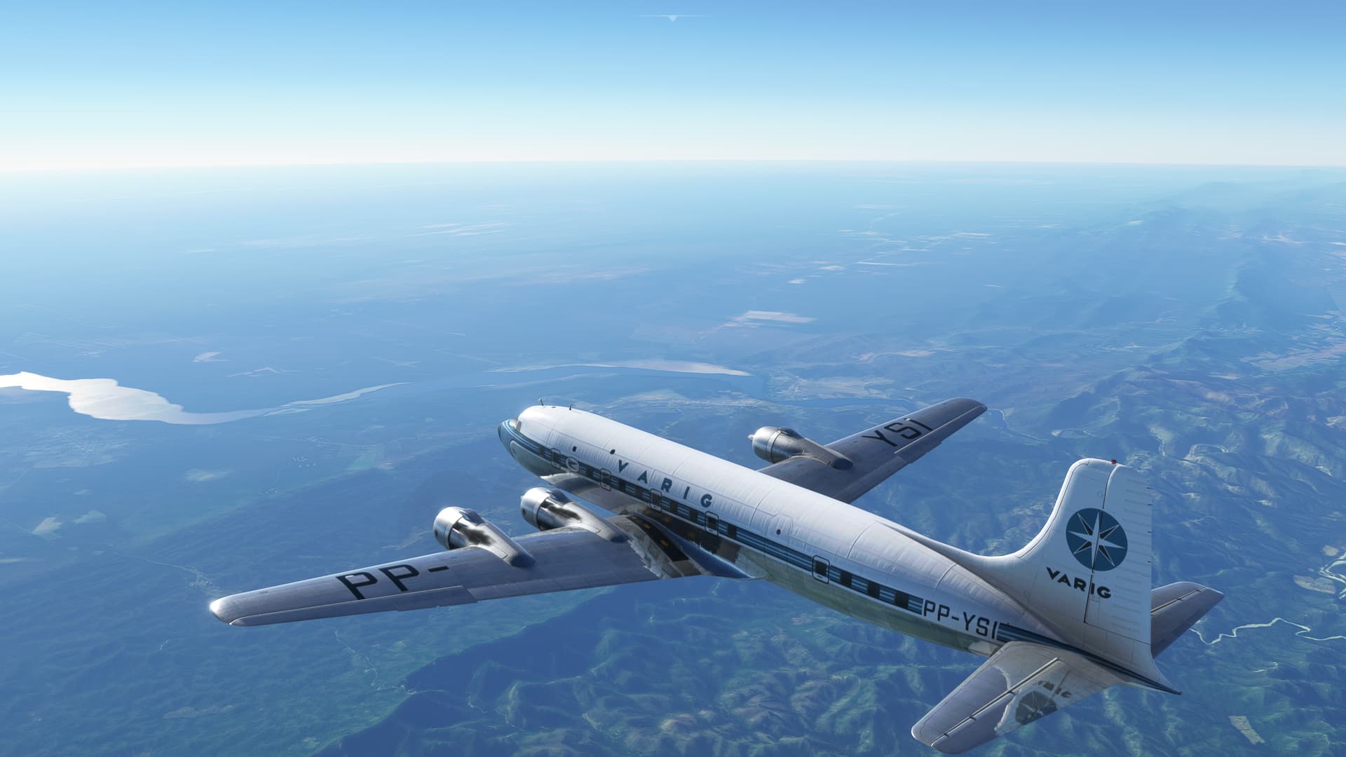
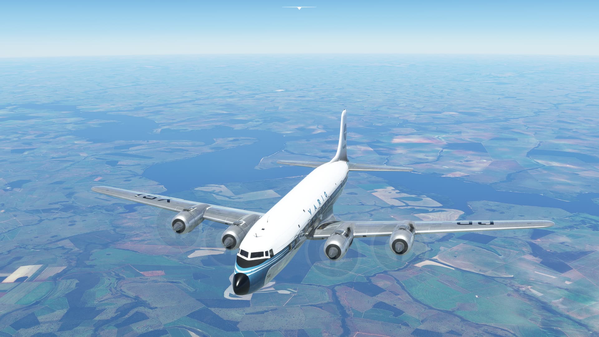
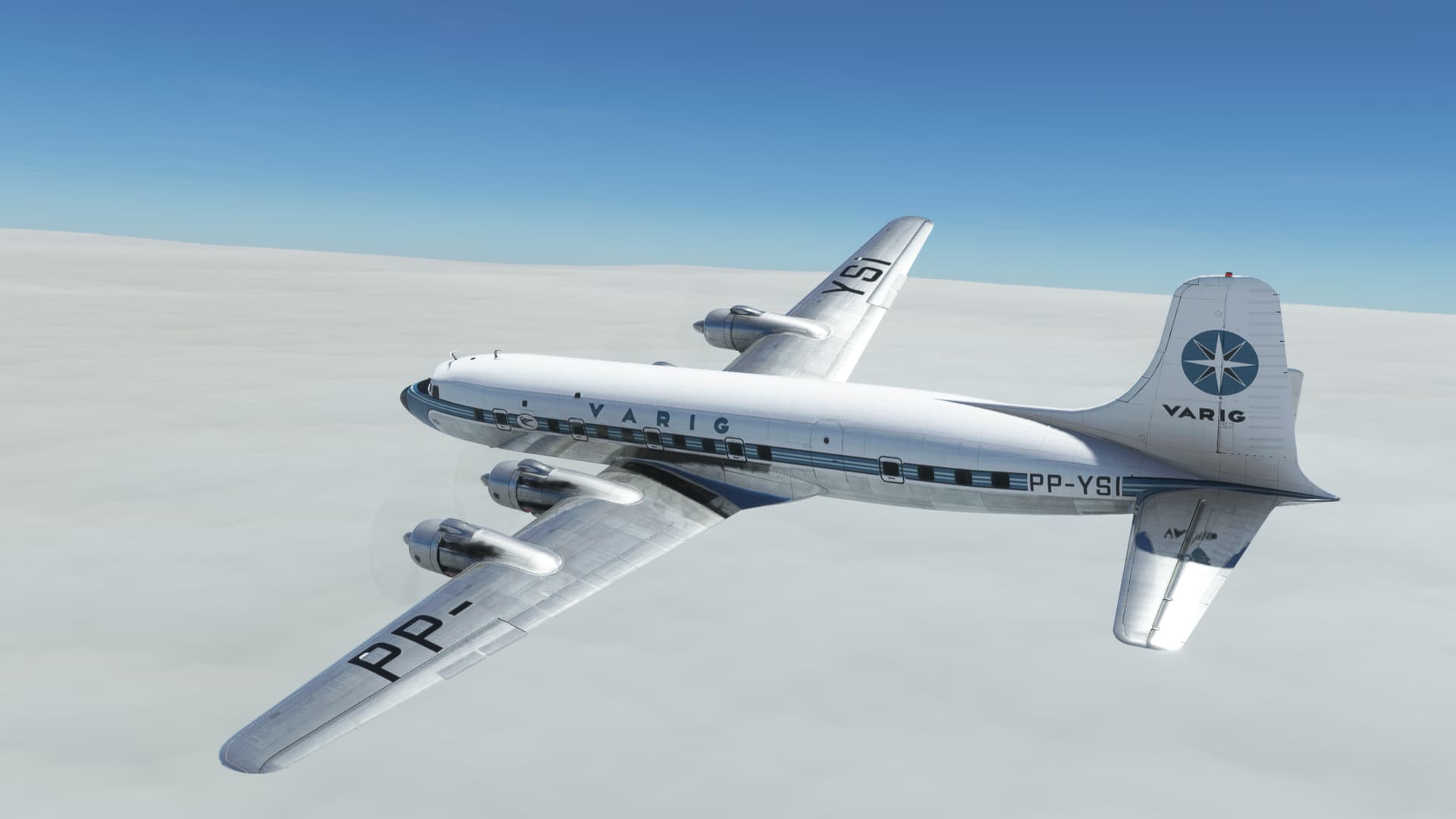
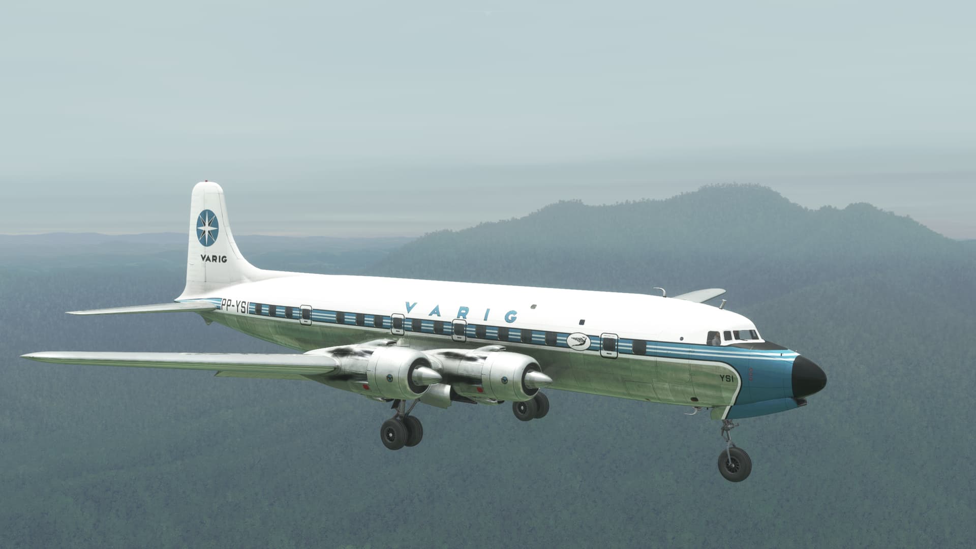
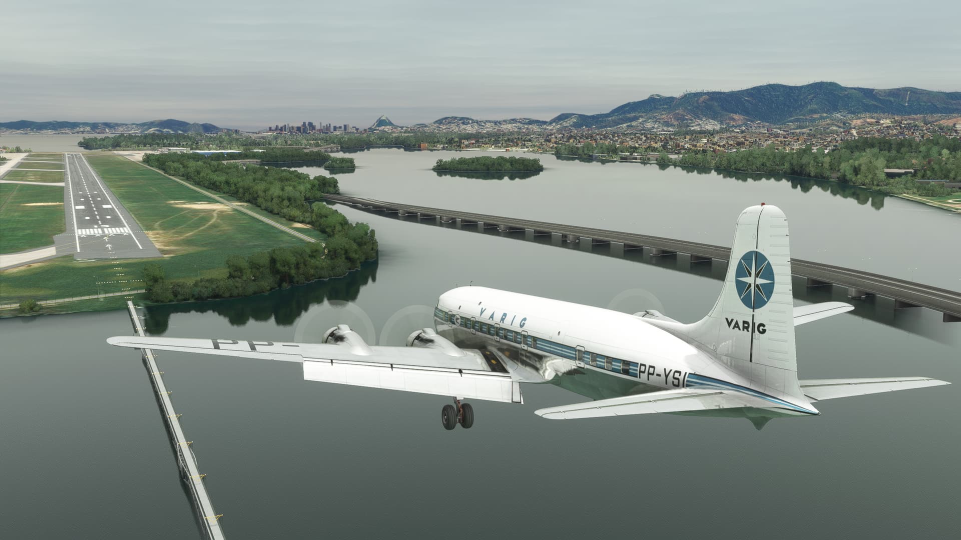
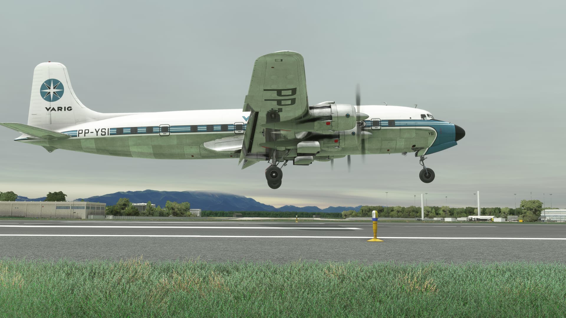
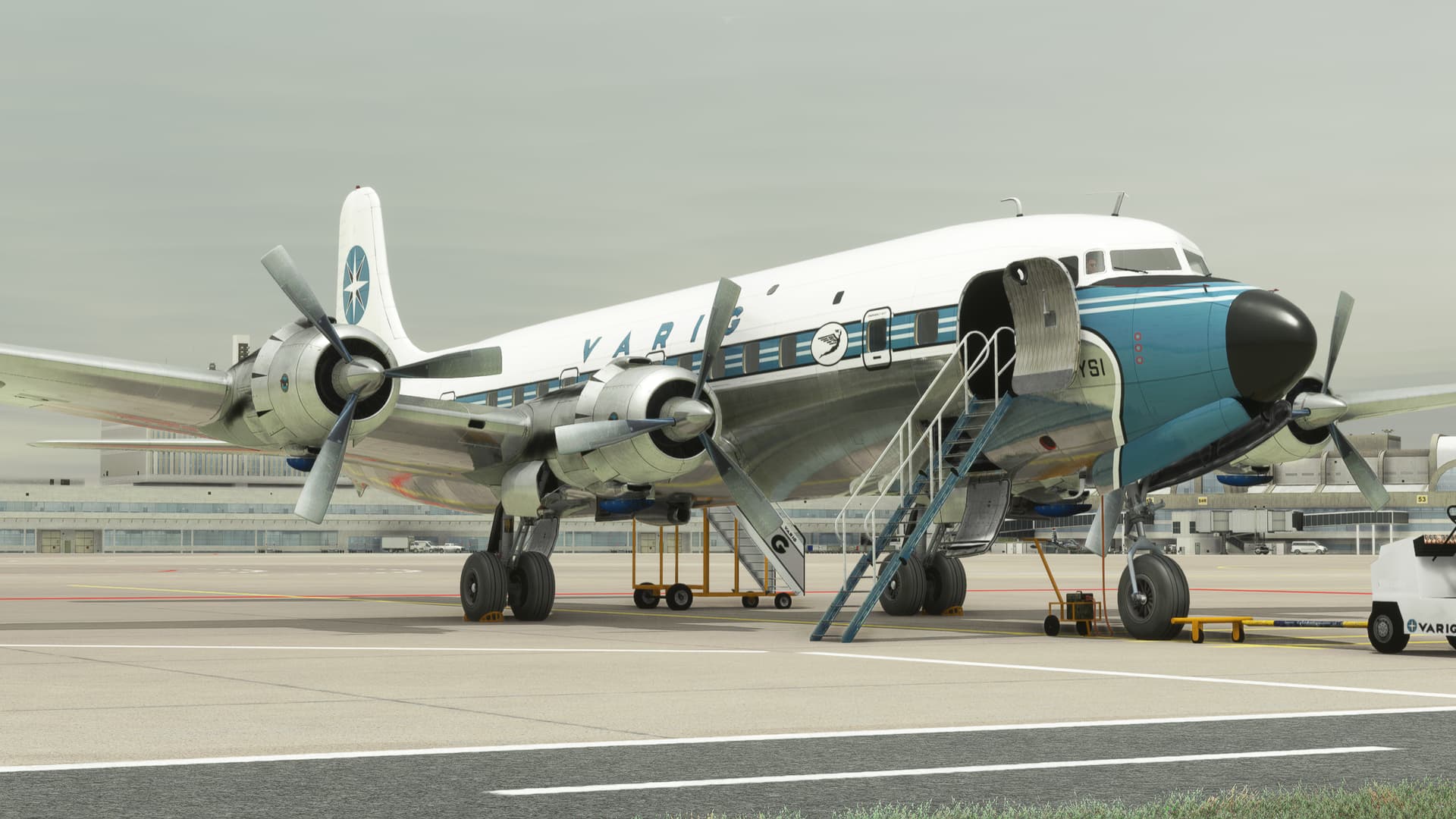
Once again I turned to the DC-6, this time in Varig livery by jamespejam.
There were two competing challenges to overcome (or opportunities to excel if you’re THAT kind of guy) on this flight. Not to mention those extra ones that I’m going to find out about later.
First, it was going to be my longest leg by almost 50% at 1485NM.
Longer if you go wandering off course. Just sayin’.
Second, as I was at the highest elevation International Airport in the world (thanks @PaulRix, now I don’t need to even look that up  ), my usual military taught inclination that,
“The only time that you can have too much gas, is when you’re on fire.”
just might, not serve me all that well in this case.
Well, I could do a lot of flight planning and research to calculate a proper fuel and cargo balance. OR I could just fiddle with it until I stop crashing on takeoff and hope that’s enough gas to get to Rio.
Oh yeah, that second one’s for me! 
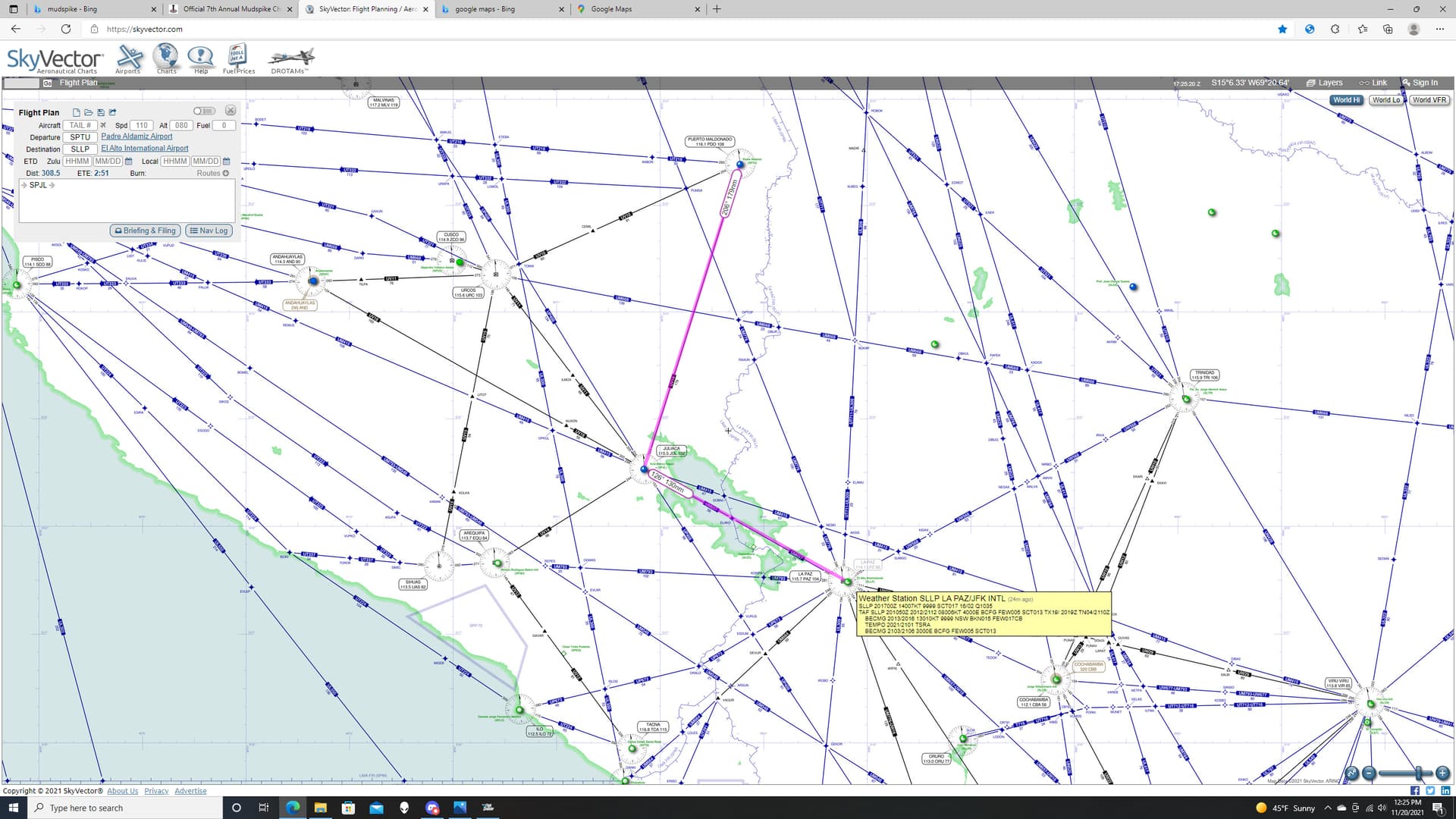
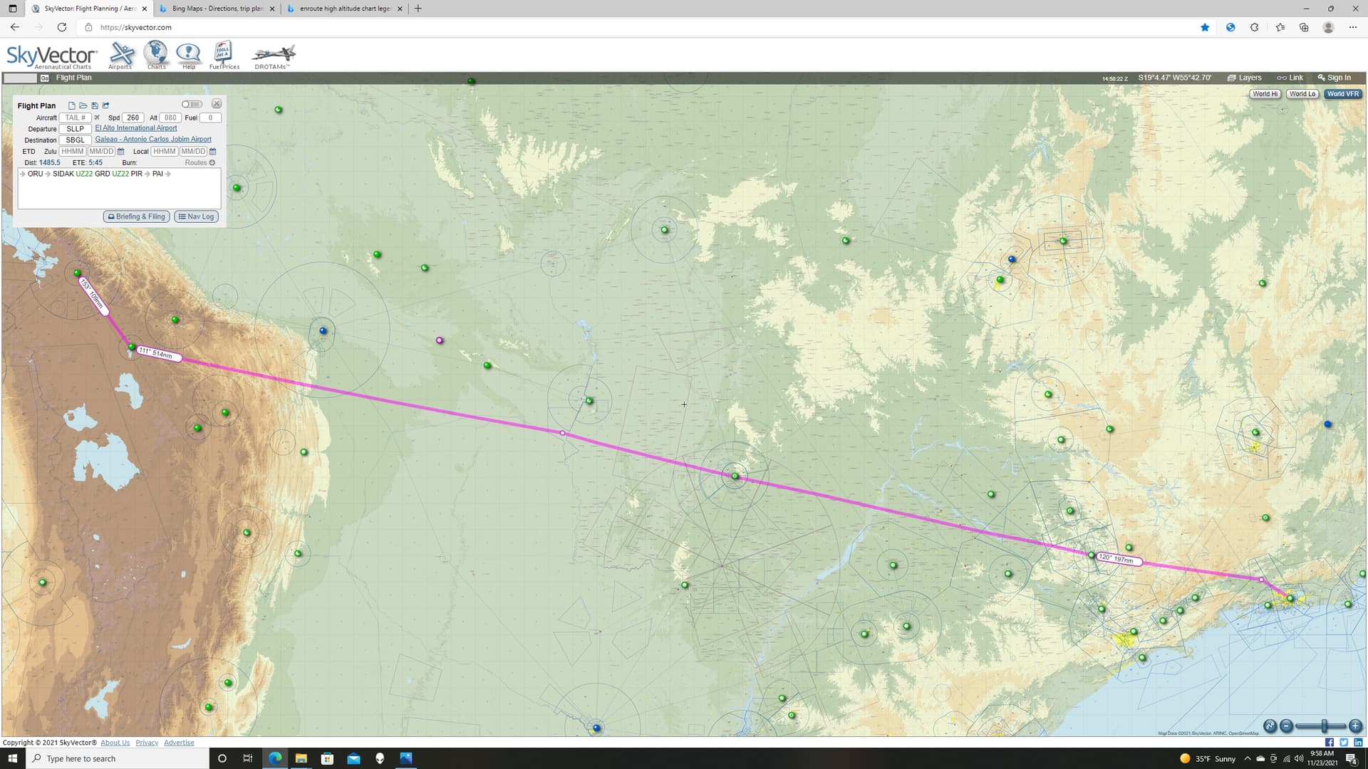
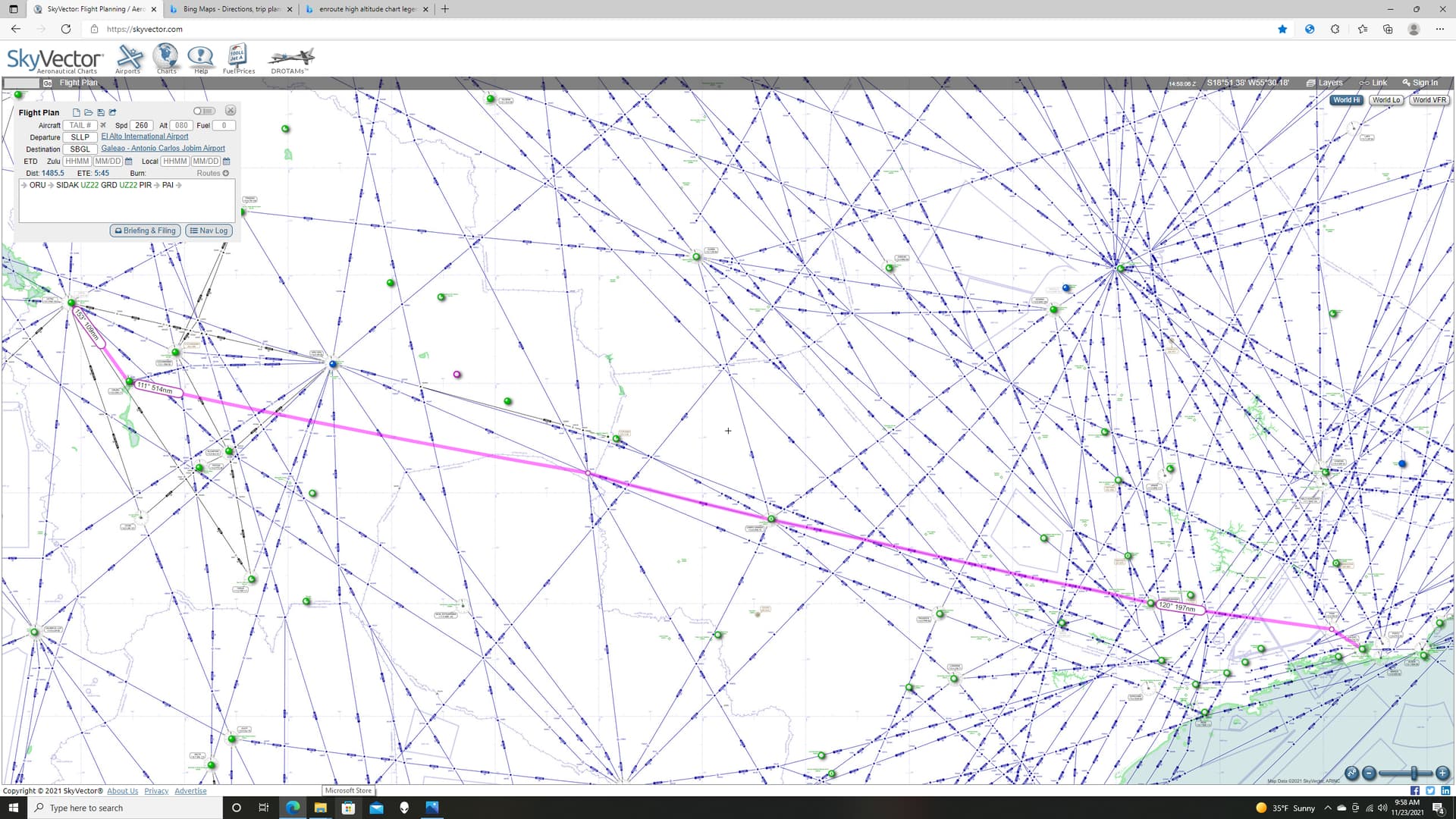
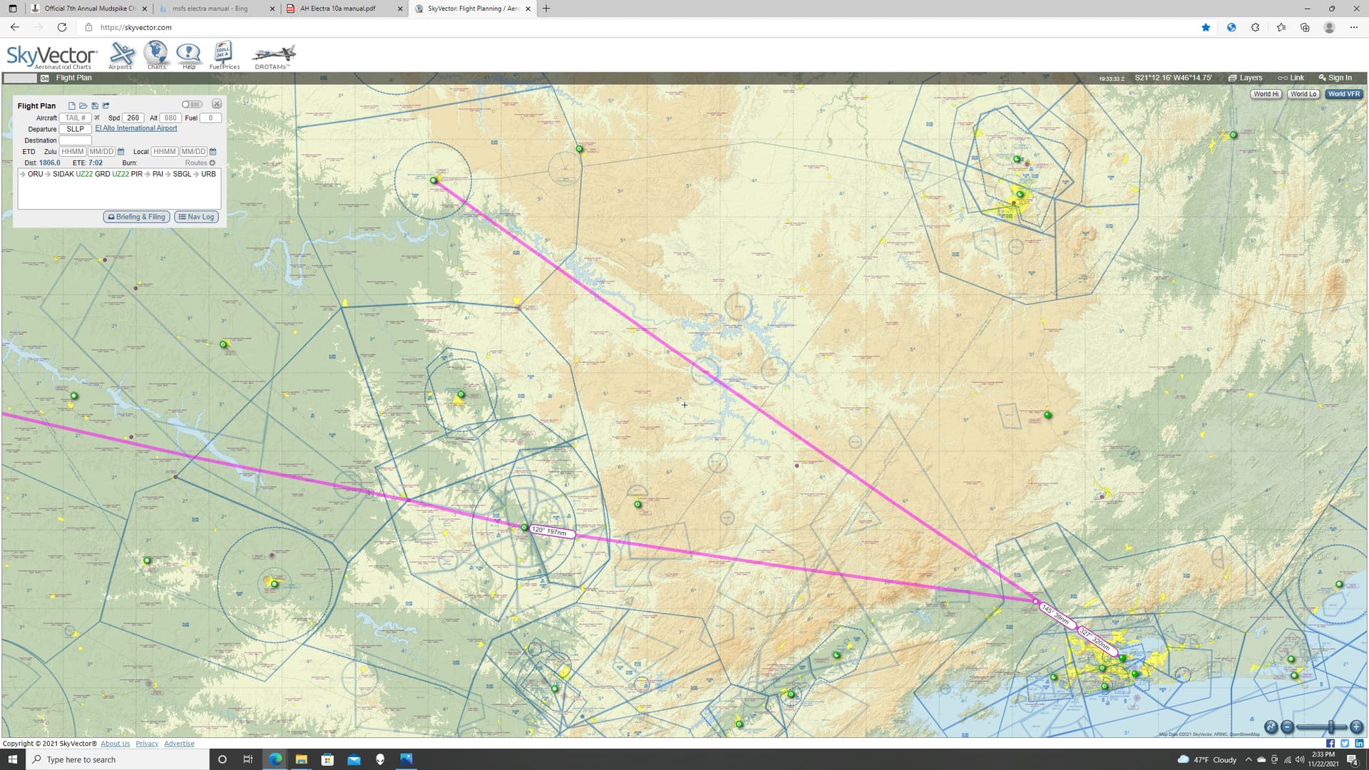
This was my route, almost as straight as I could make it. As I was flying VOR to VOR, I tried to space them out reasonably and stay on airways as much as possible. The only dog leg I had to throw in there was to avoid the terrain immediately southeast of La Paz.
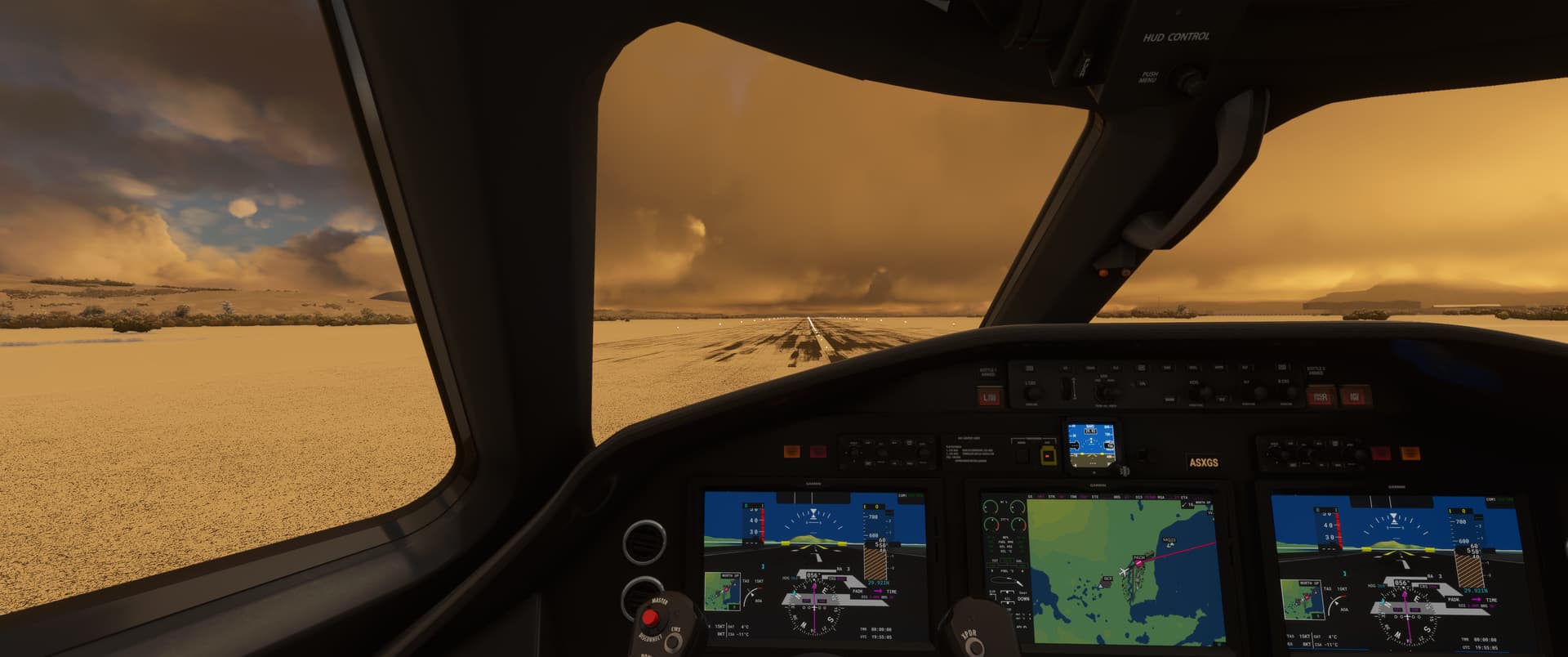
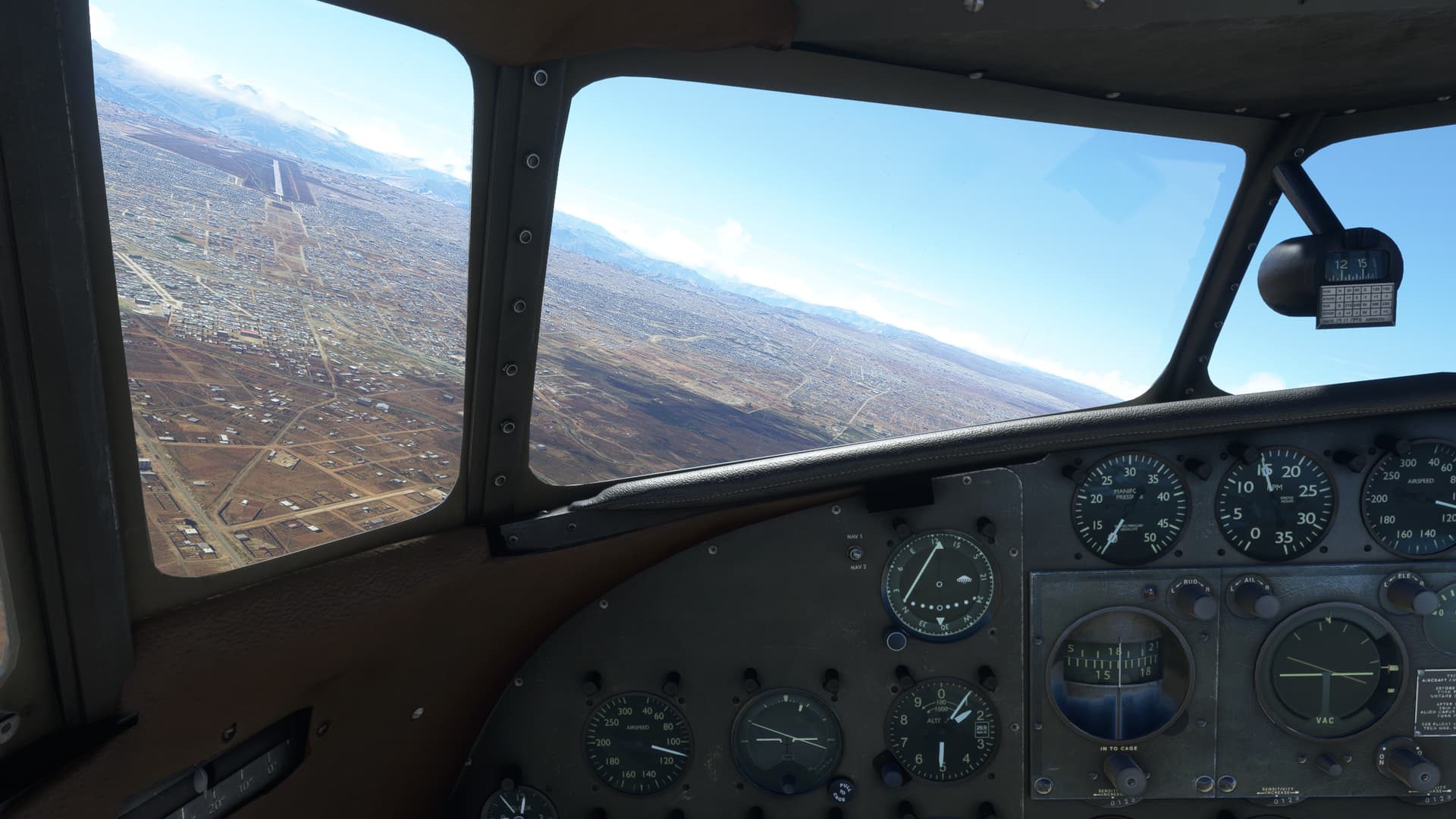
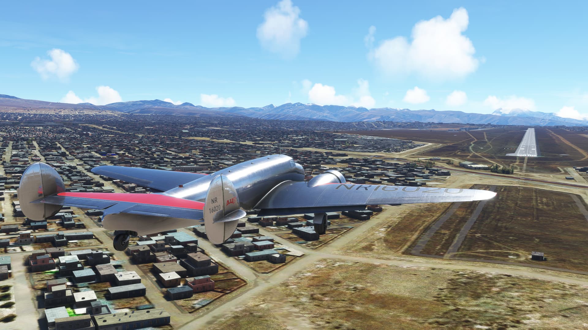
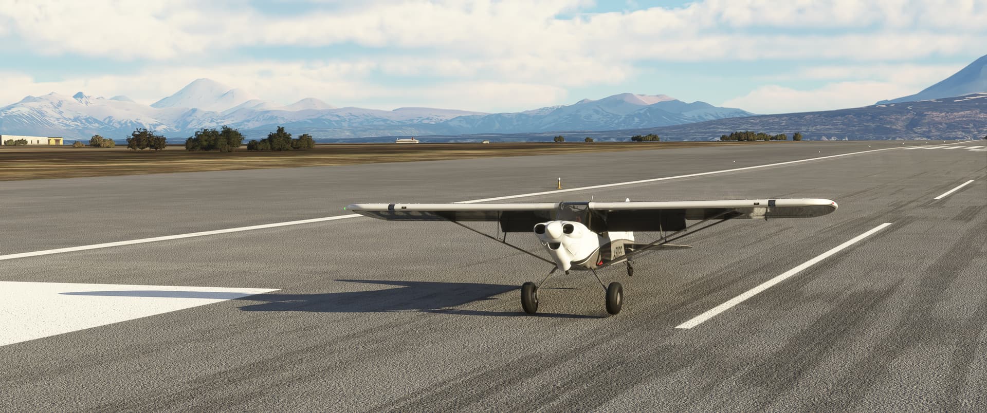
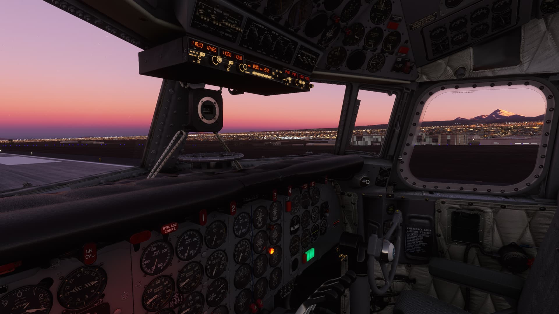
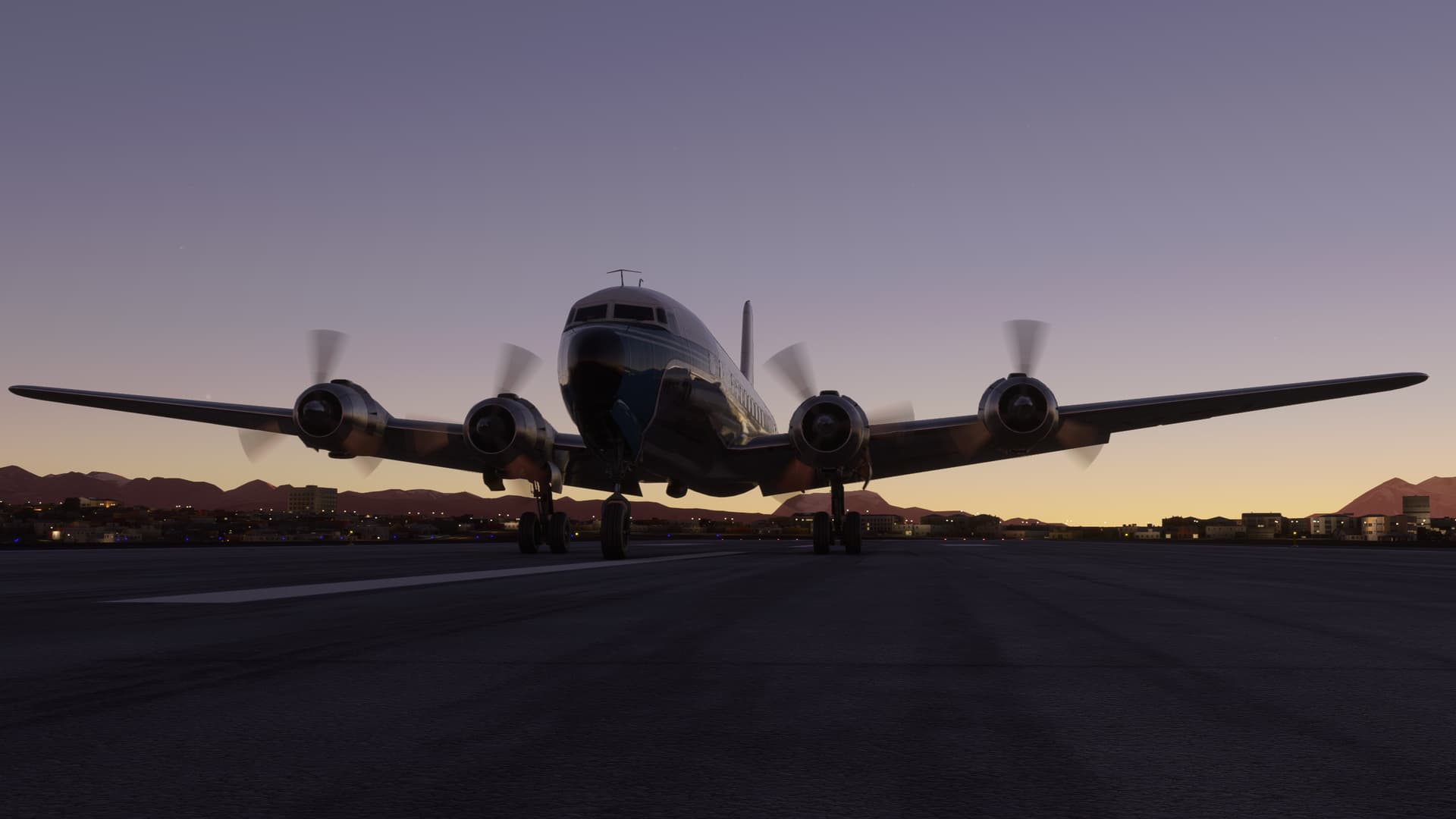
MSFS set me up for takeoff on RWY 28. Uphill. Into the mountains. On the runway without any clearway at the end. Thanks MSFS!  Why don’t you throw a banana peel on the runway while you’re at it?
There is no way that I am going to be able to takeoff and clear those mountains.
Ask me how I know.
Let’s try this the other way.
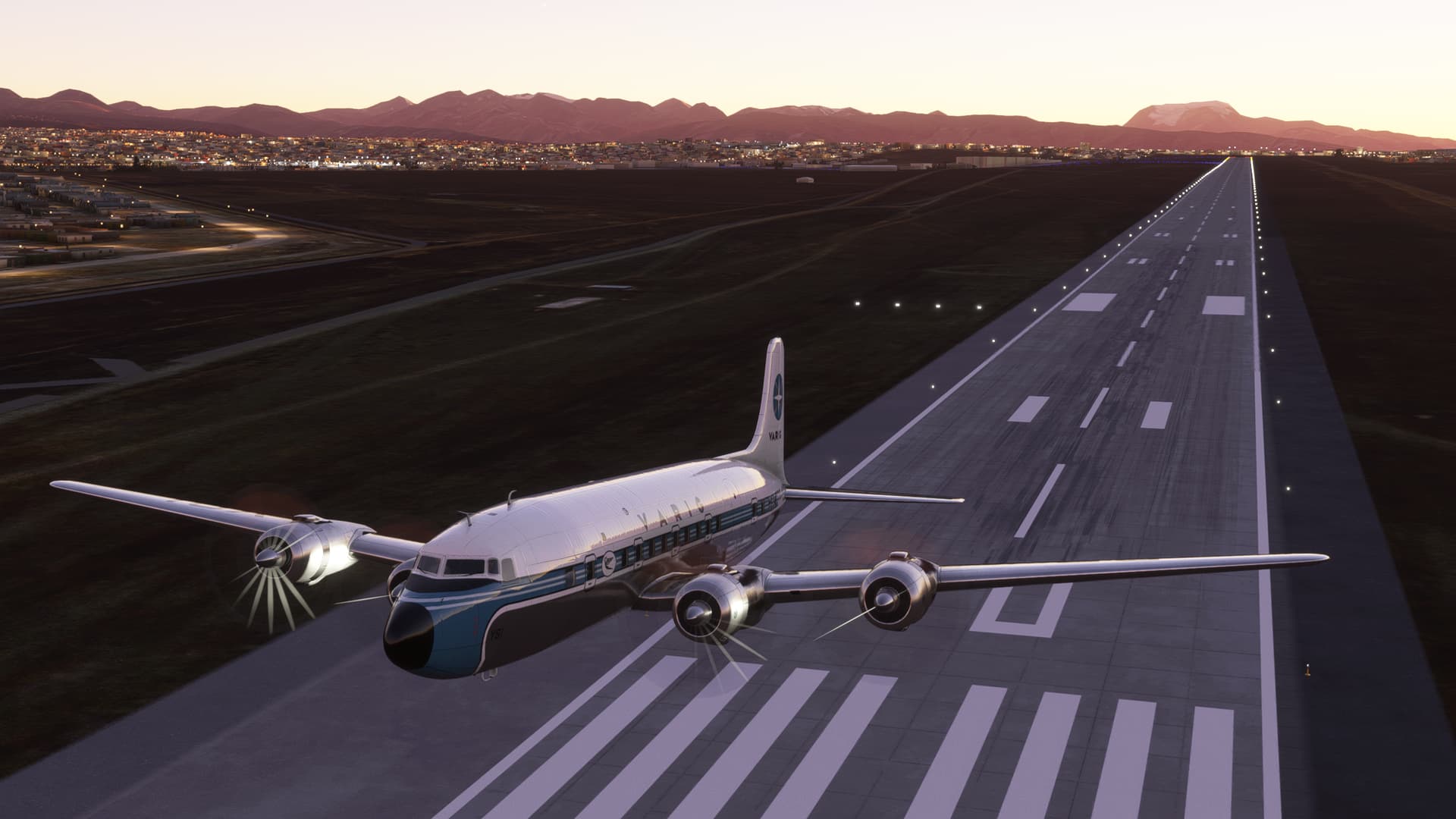
Man, I am baaaaarely clearing the long field approach lights.
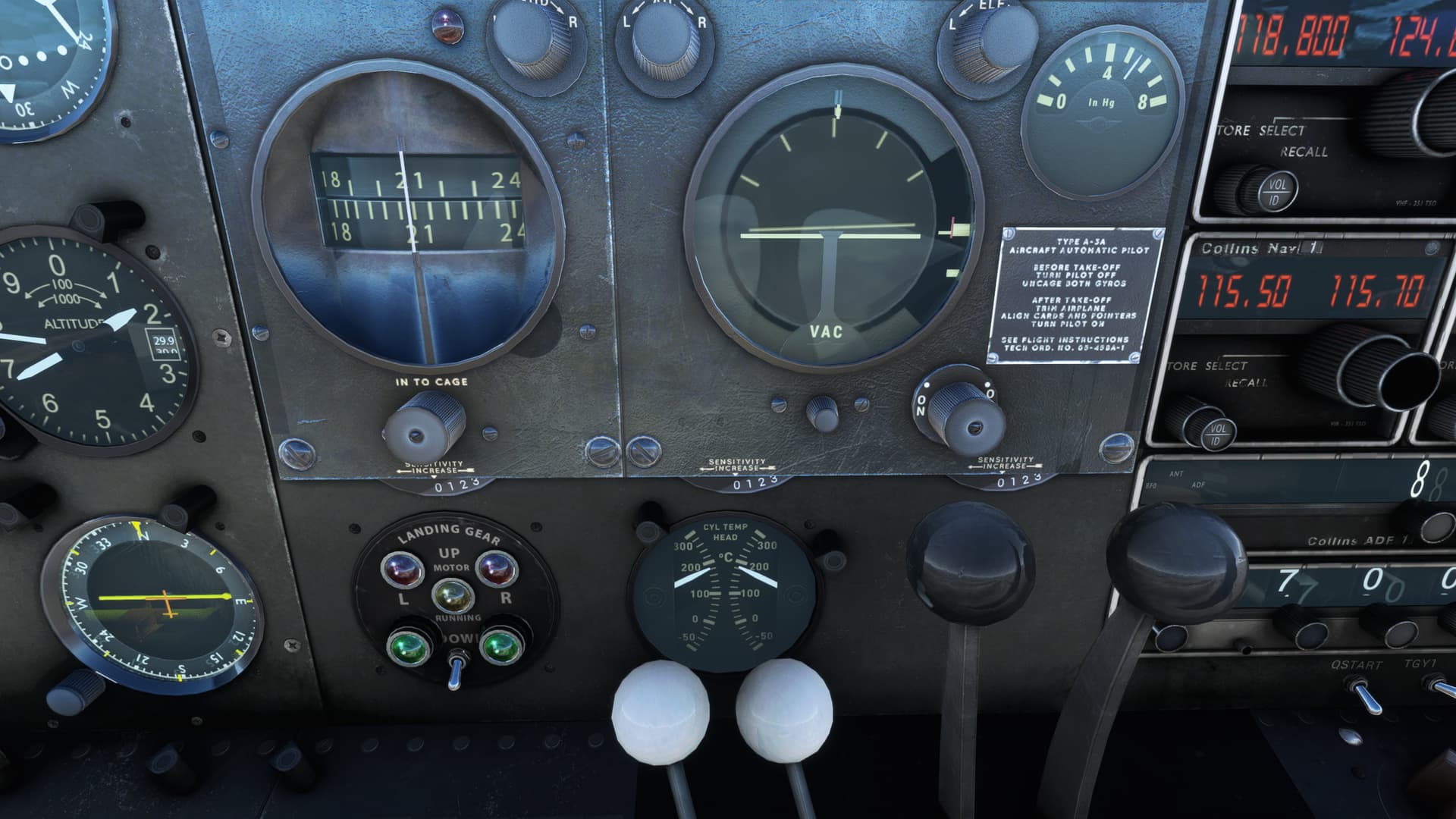
I am milking these engines for all that they are worth. The AFE and I are getting along so far, but I have to smack him with my hat to raise the doggone gear. I need to dump as much drag as I can at this point. It reminds me of a V1 cut in the Kingair.
It’s really only after the terrain is no longer a factor that I consider turning my Blowers to the HIGH position. That really would have helped. 
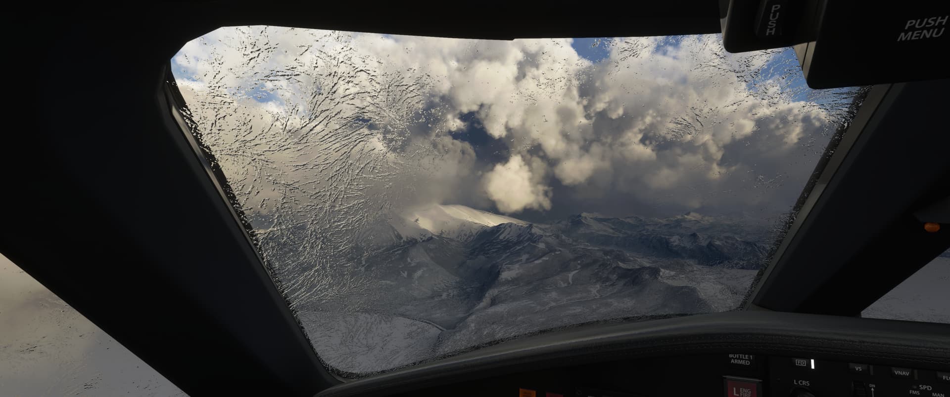
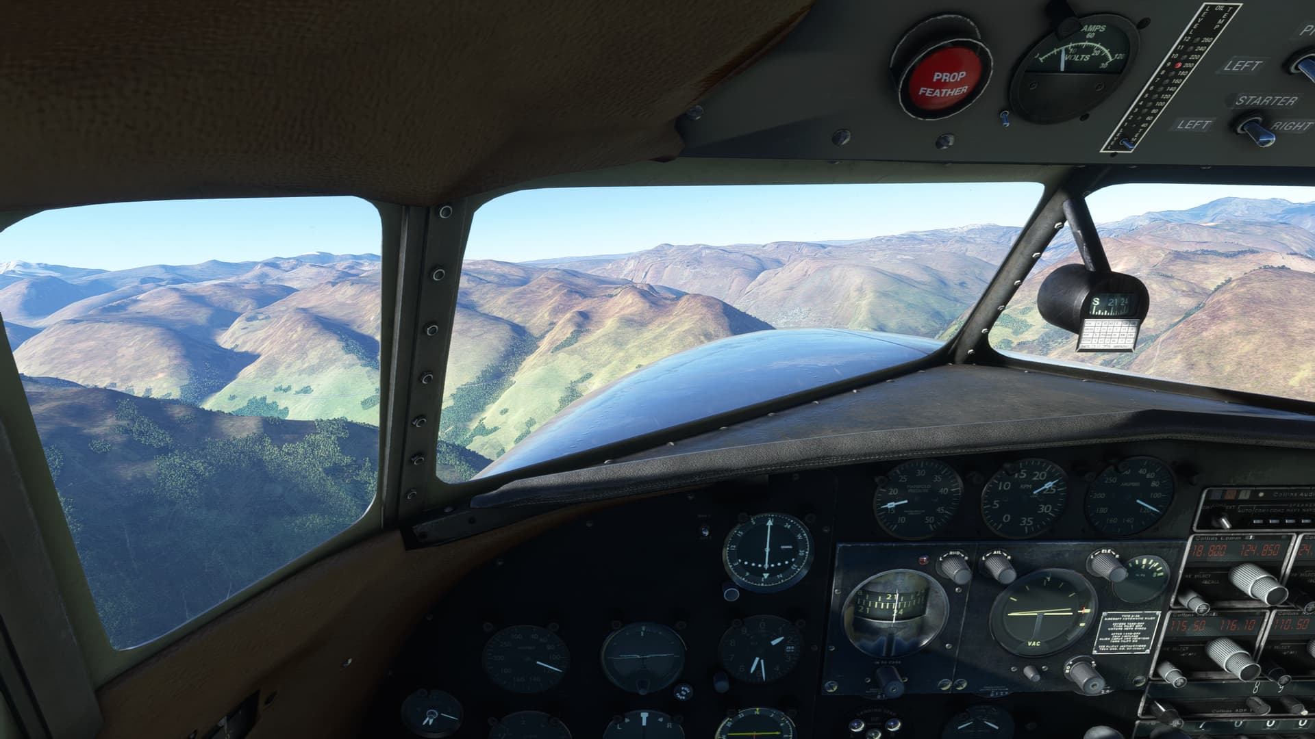
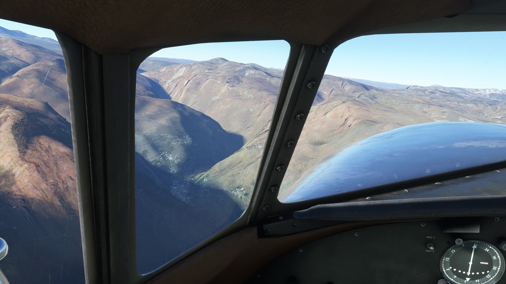
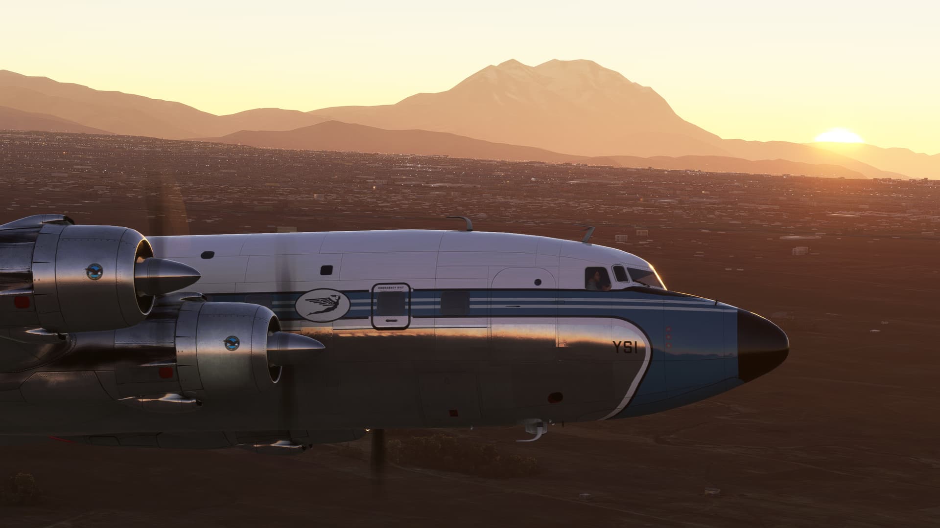
The sun crests the mountains as I’m buzzsawing through every clothesline in downtown La Paz.
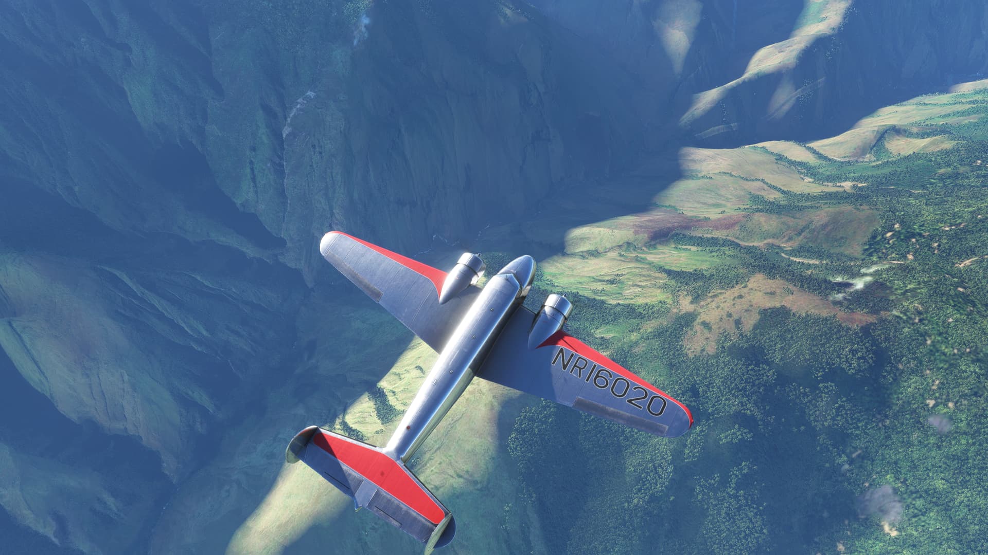
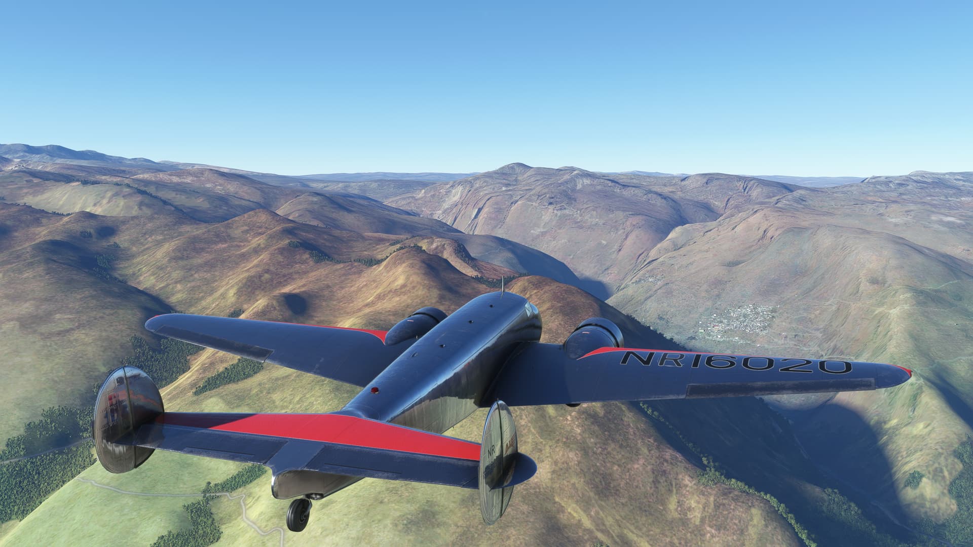
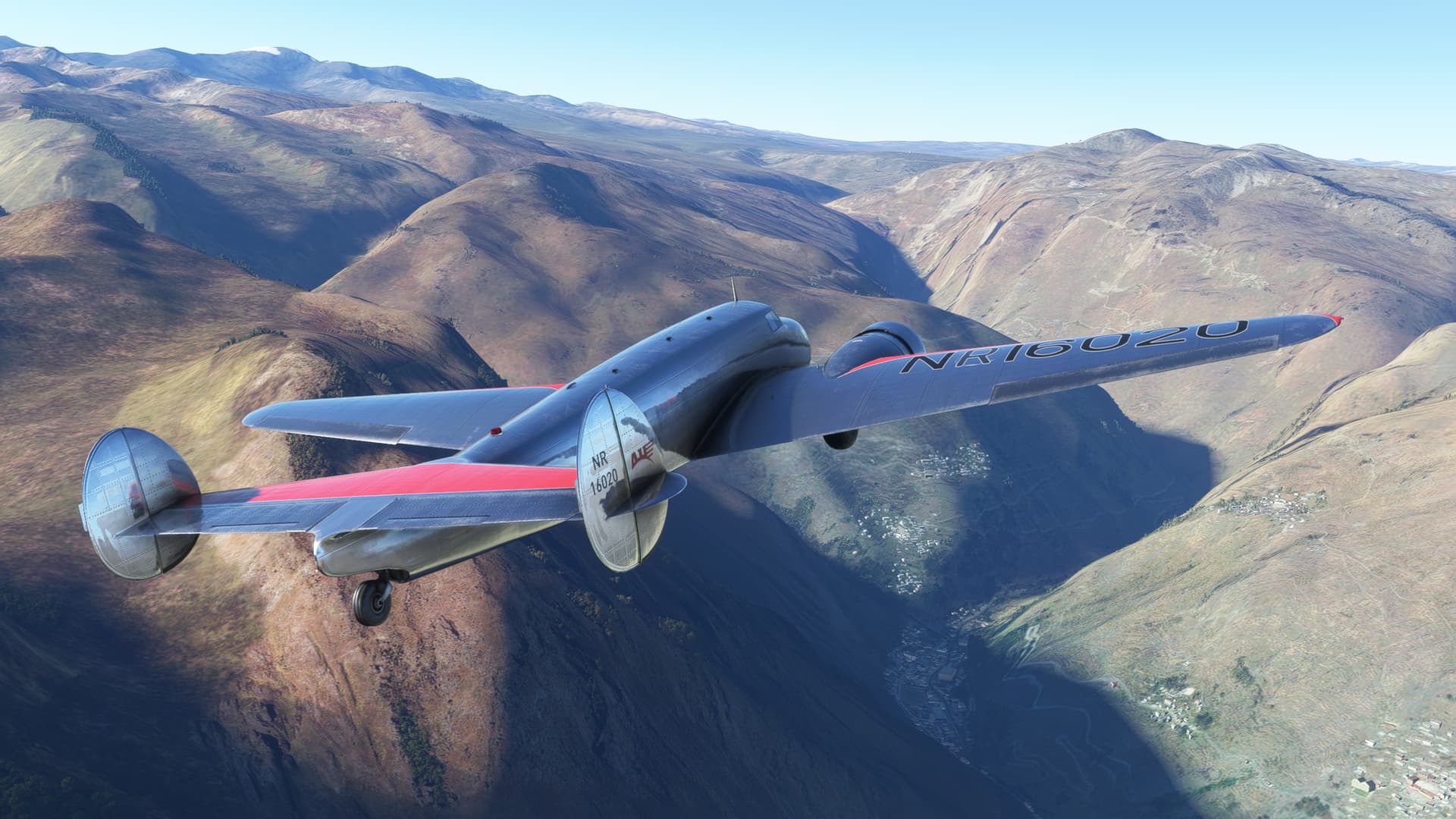
The terrain slowly falls away as I inch upwards heading south.
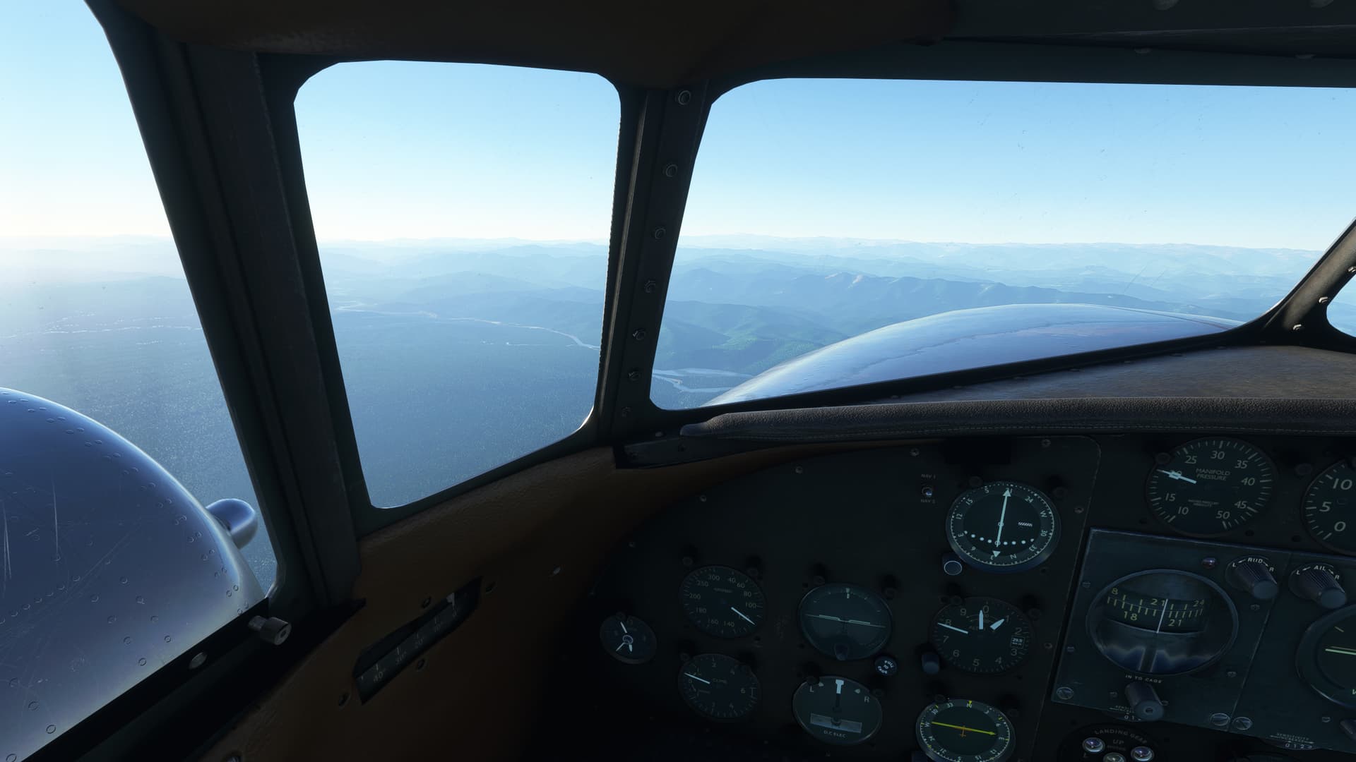
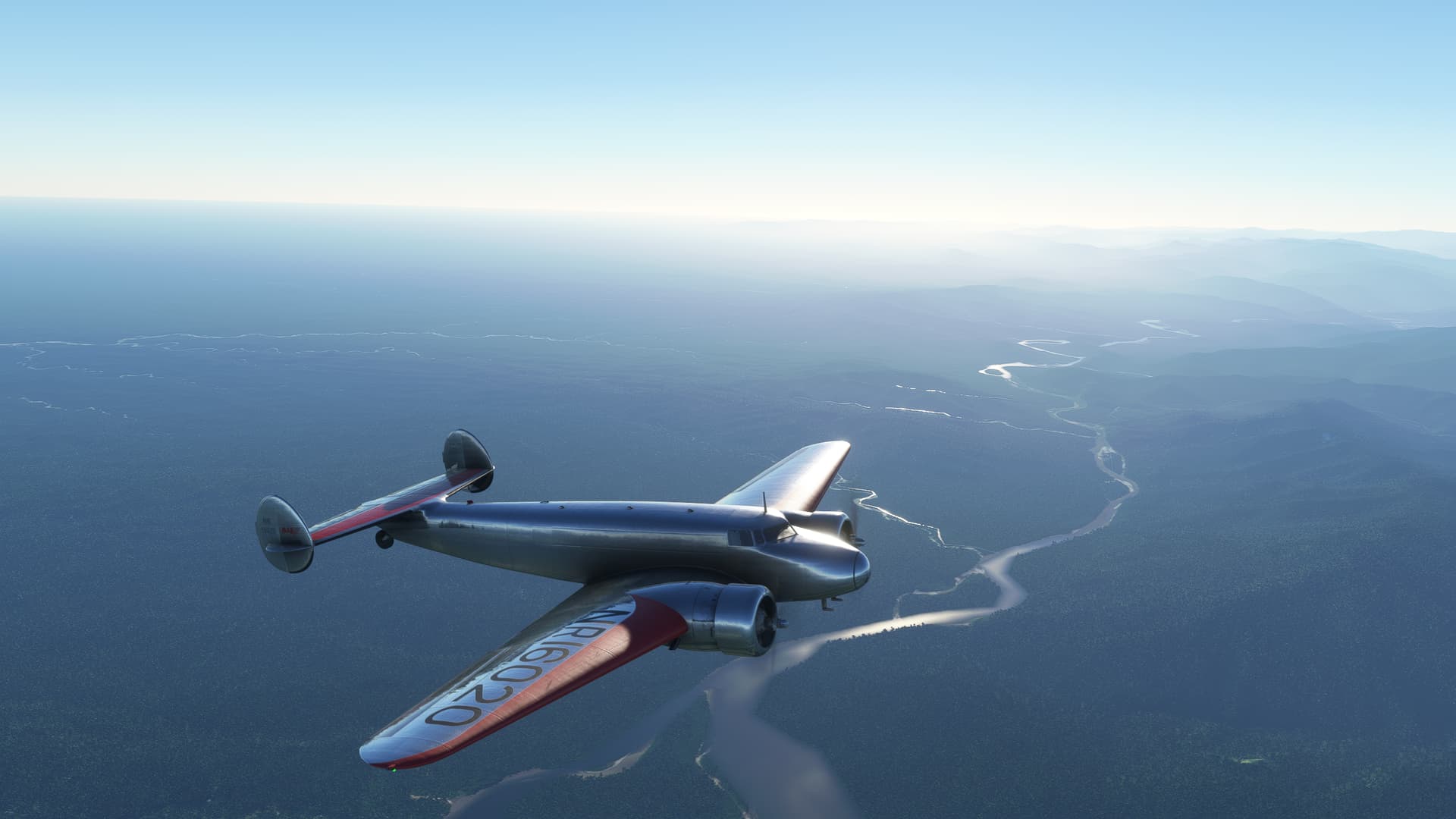
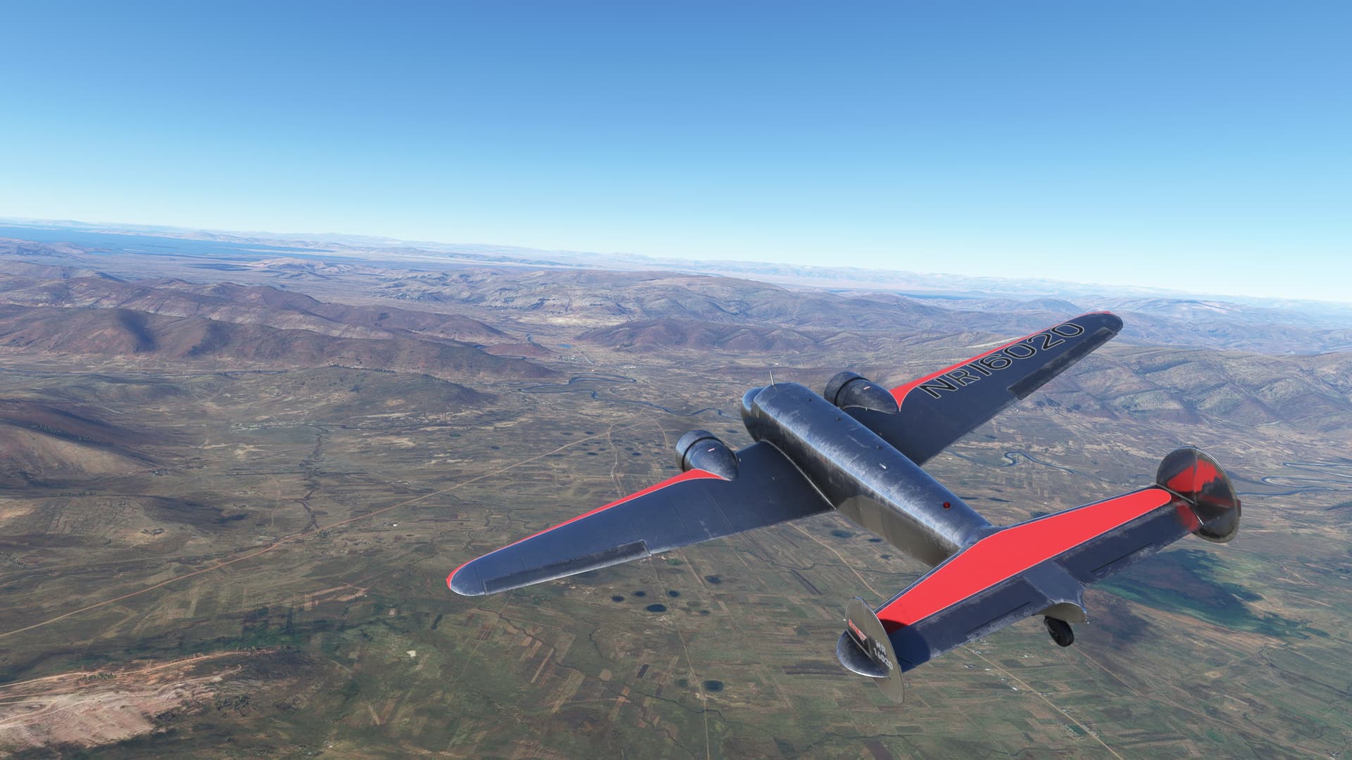
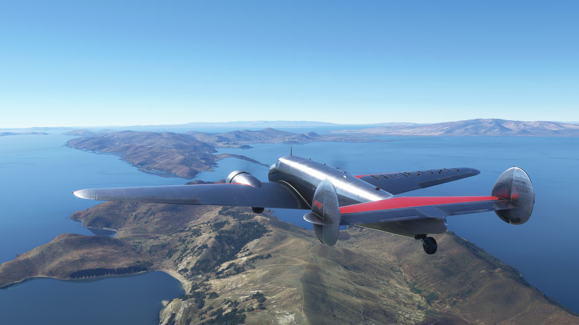
I parallel the Rio Desaguadero as I climb to FL 260. I really don’t know what the winds aloft are going to do to/for me today (especially since, as you can see, the weather is suspiciously clear). I’d like to take advantage of every knot of True Air Speed that I can get.
Plus, I still feel low enough to read billboards and it’s giving me the hives! 
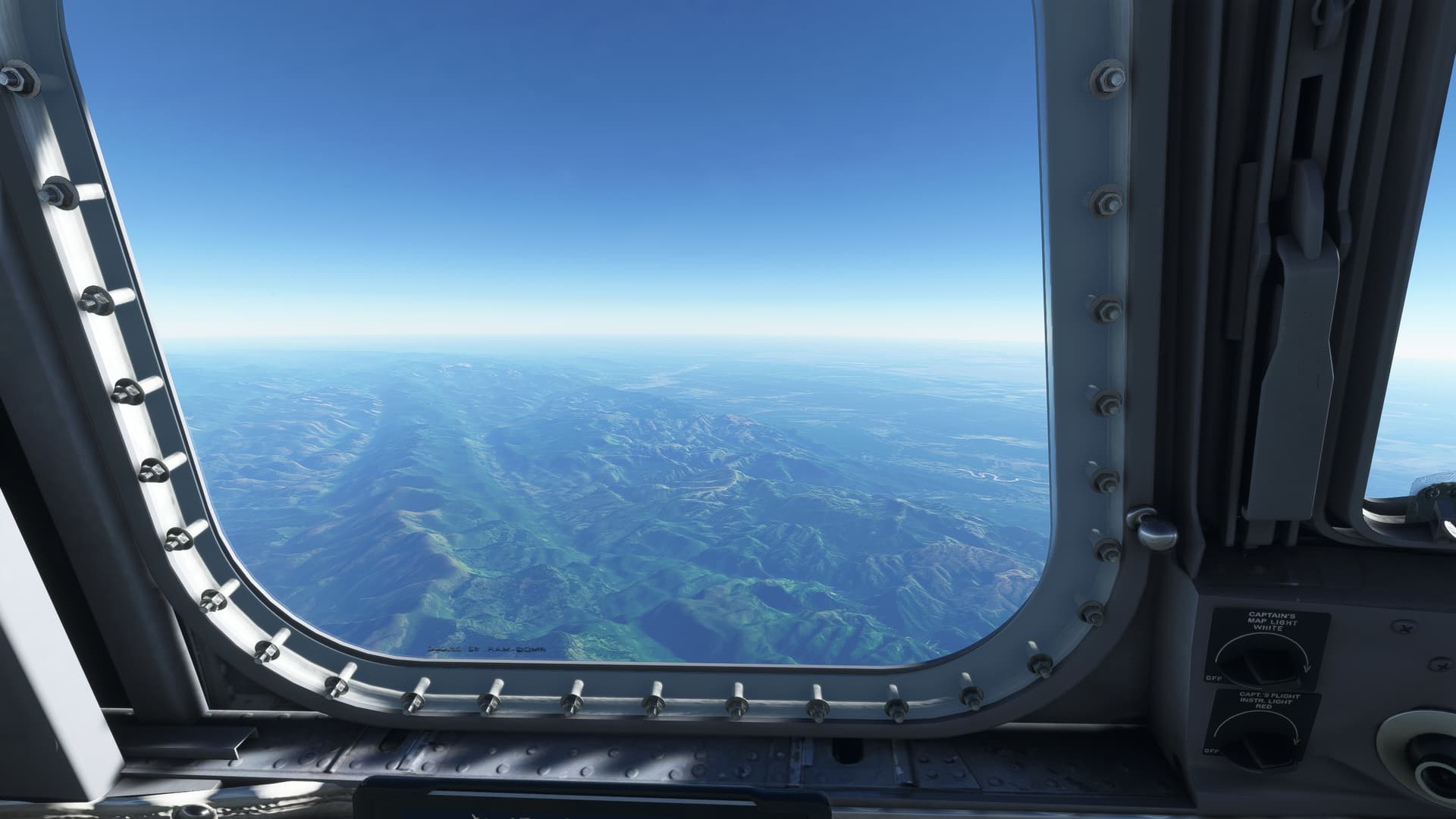
I reach the ORURO VOR (ORU) and turn east to leave the mountains behind.
And pick up the Rio Grande off to my right as I hit the flatlands.
My next, ahem, “opportunity” presents itself early.
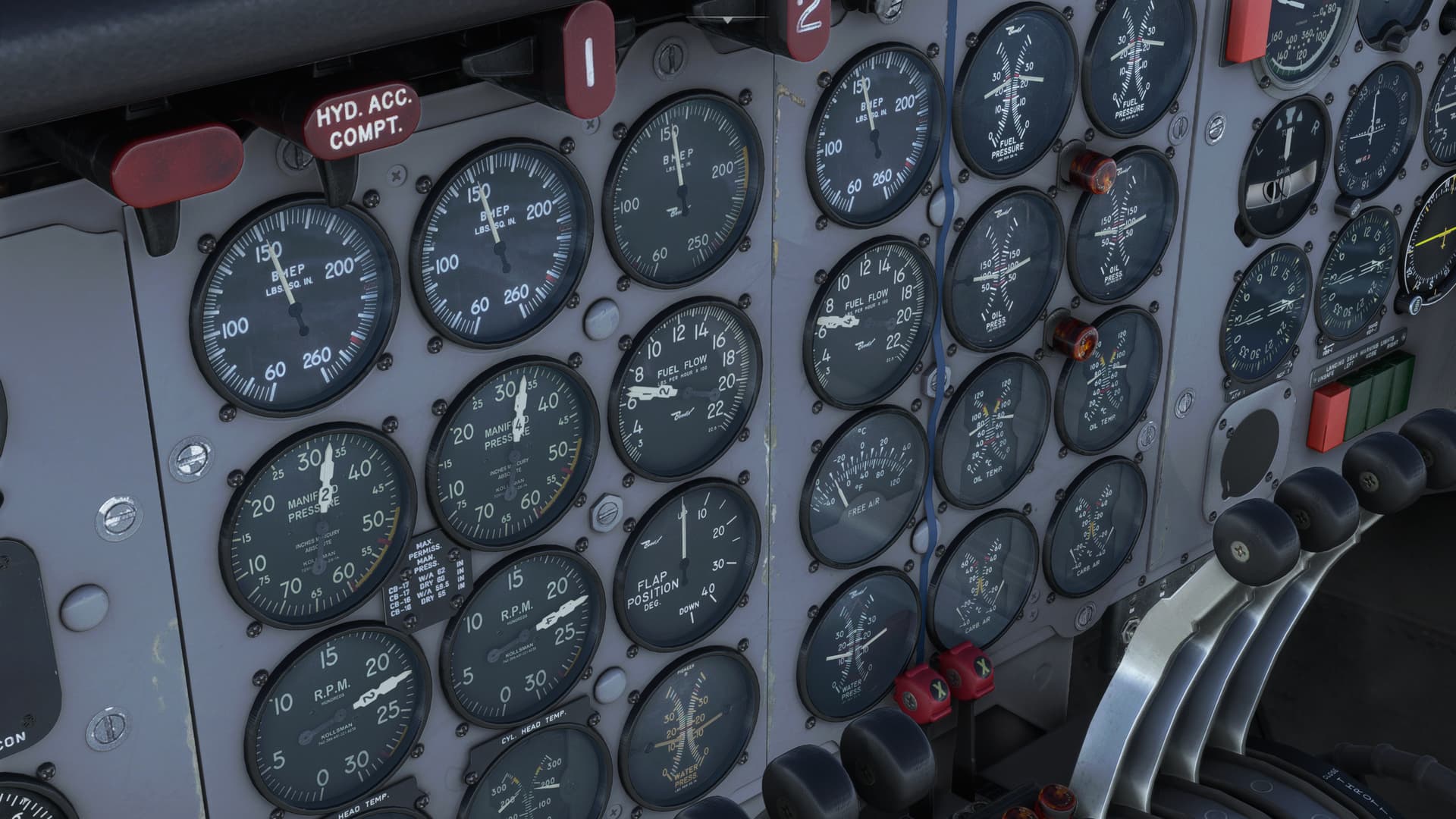
I can’t say that I really did more than passing fuel planning for this leg. But my initial swag was based on the 600lbs/hr fuel flow that I had found to be common in the DC-6. But up here, for one reason or another, I’m looking at more like 700-750. That’s really going to cut in to what little reserves I allowed myself.
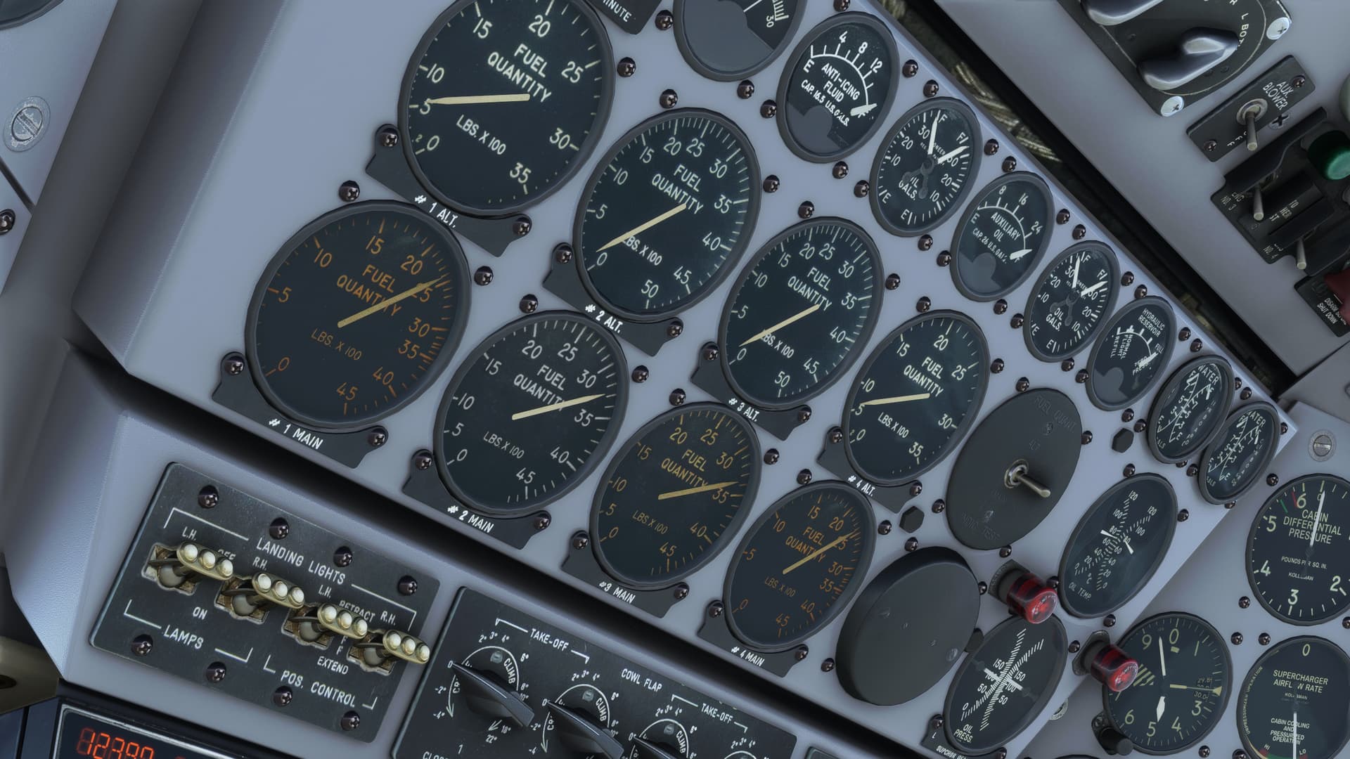
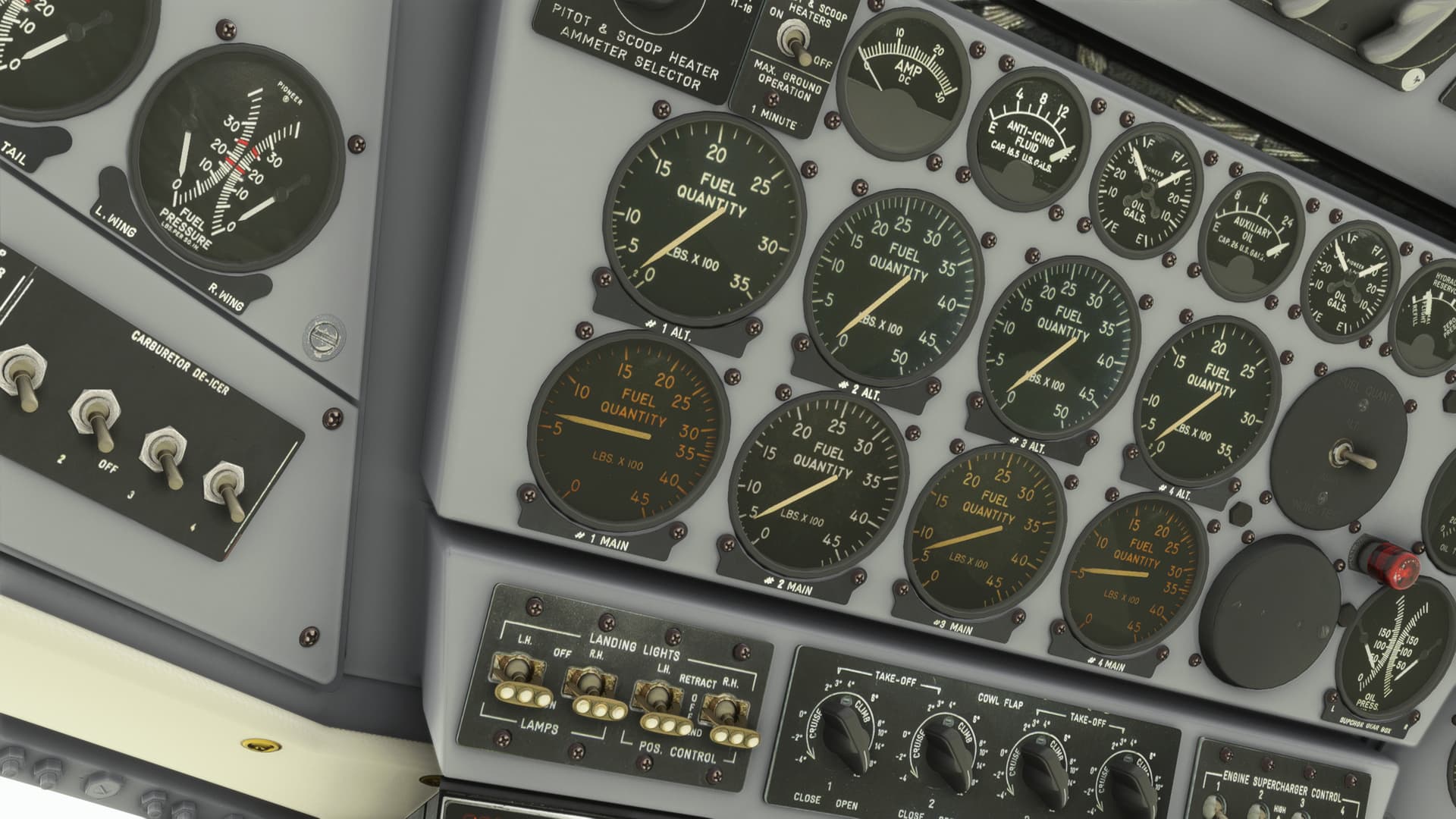
I started squeezing every drop I dared out of the Aux tanks. But not knowing how accurate PMDG had made these gauges, I only milked two at a time.
I have no illusions about how quickly I can get to those tank valve levers if the engines suddenly all quit at once.
[Just as an interesting aside, later I did try to balance the Main tanks by feeding all engines off the one high level tank and forgot to turn the Boost Pumps on first. I can now tell you EXACTLY how quickly I can get to those tank valve levers. Nice touch PMDG!]
Now with a nice straight shot to Rio, I started selecting NAVAIDs down the line to get some sort of ground speed estimation and crosscheck my position. I had about four hours to kill.
And here’s what I noted. My VOR range has been extremely limited ever since I arrived south of the Equator, for the most part. If this wasn’t an MSFS error, then most of the VORs in South America seemed to be L volume. And it was interesting, looking at Skyvector, to note how many reporting points along the airway system were indeed RNAV points.
I have relatively limited experience in real life in this region, and always with FMS. But it really made me wonder how exactly you could fly these airways in the old radio nav days.
As a more practical MSFS matter, if you truly wished to radio nav down here, as I was attempting to do, you had to keep your legs veeeeery short. If not, any gross error (or a small one compounded by distance) could do to you what it was about to do to me…
My first leg was a good long 500NM to an intersection. A long way, but I was hoping to be receiving my next VOR, Campo Grande (GRD) by then. Along the way I had a few NDBs and VORs off route that I was hoping to use to keep me honest.
But I only picked up one along the entire segment, the rest too far to receive apparently. And while my passage of that single NDB seemed reasonable, I never received a signal for GRD.
This was going to be a problem.
There was a distinct lack of NAVAIDs in the center of the continent. And if I had already missed the first by over 40NM (assuming it was working and assuming that 40NM was its service volume) then by the time I got to the coast, I could be well off course.
Without a lot of gas to fool around with. I kept my last heading and started playing dial-a-NAVAID.
In the end, the lack of weather was to be my savior again.
I passed over a north-south running river with a perpendicular offshoot heading east.
This was the Rio Paranaibra/Araguari as far as I could tell. So, it looked as though I had drifted north somewhat, but not too badly. But, as I proceeded further east and continued to search for a nearby NAVAID, I began to doubt my earlier assessment.
Finally, after over three hours from departing ORU, I found a fix, the Uberaba NDB (URB). I was farther off than I thought.
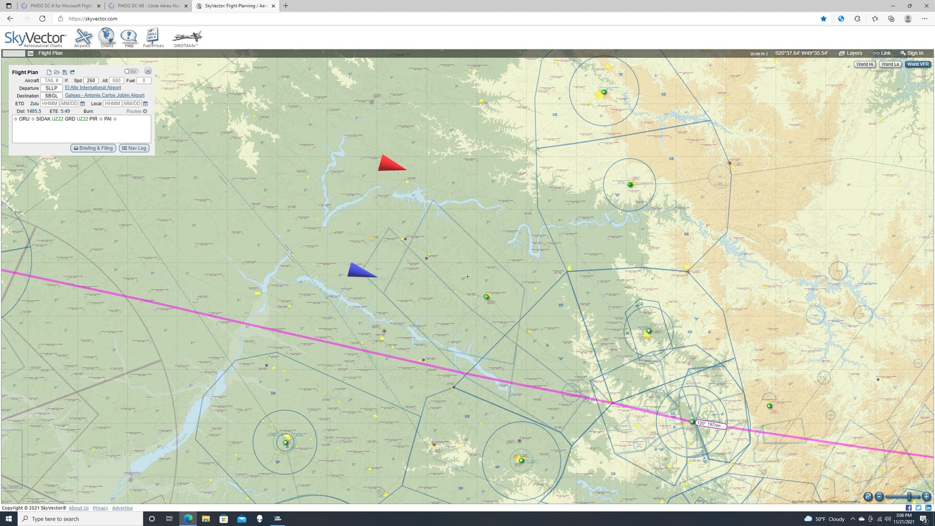
My best guess at this point was that I had initially thought I was at approximately the position of the blue arrow. But, based on the needle swing I was getting out of the ADF, the red arow looked like a far more likely estimate.
Which roughly put me here now.
I have my basic guess as to how I had drifted so far off course. But, at this point, that didn’t matter much. I had invariably lengthened my ground track and, with the higher fuel burn rate, I needed to get to Rio. Soon.
Now, I know what you’re thinking.
“With clear weather, you should have no issues from here on out.”
But, I’m a Marine. And in the Marine Corps, if you can’t find a problem, you make your own! 
And so, I did.
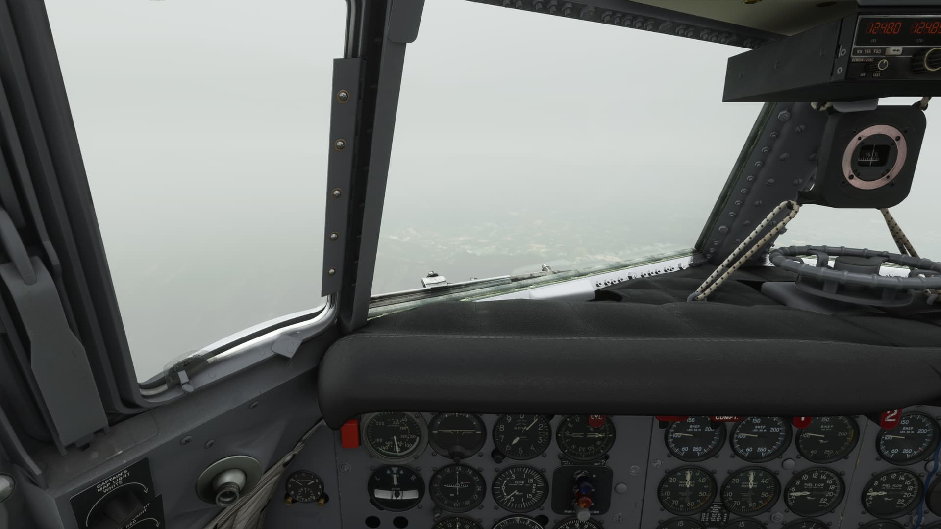
The lack of Live Weather was bumming me out…even if it had just saved my life. The weather at Rio was a modest 4000ft broken, which I created in the sim.
But now I needed to find an approach. This service volume thing was really continuing to pee in my punchbowl.
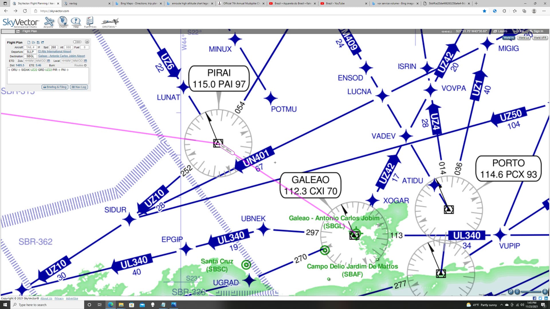
Neither the Pirai VOR (PAI) nor Galeao (CXI) were coming in at any great distance. I had not wanted to start down before I had a good lock on PAI as I had not wanted to waste gas down low. The ILS (found on the Internet which made it of dubious recency or accuracy) was OBE.
Still, I figured that they hadn’t moved the mountains. Once I was over PAI, I set up my own holding and let down to the Initial Approach Fix altitude of 12,000ft. I dirtied up, and let down on a course outbound from the VOR with the hopes of either breaking out the field or picking up the ILS…whichever came first.
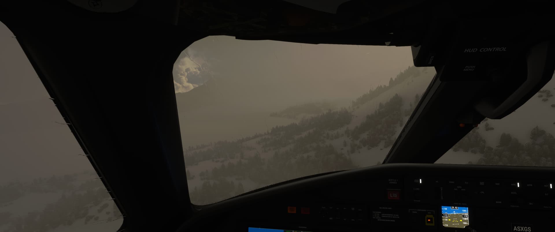
Looks like the mountains are still there.
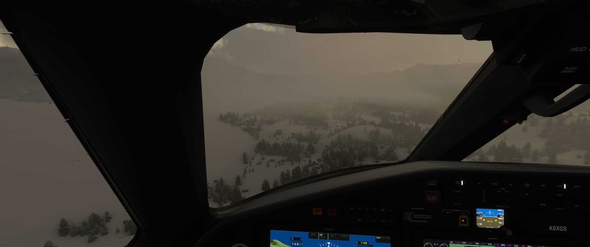
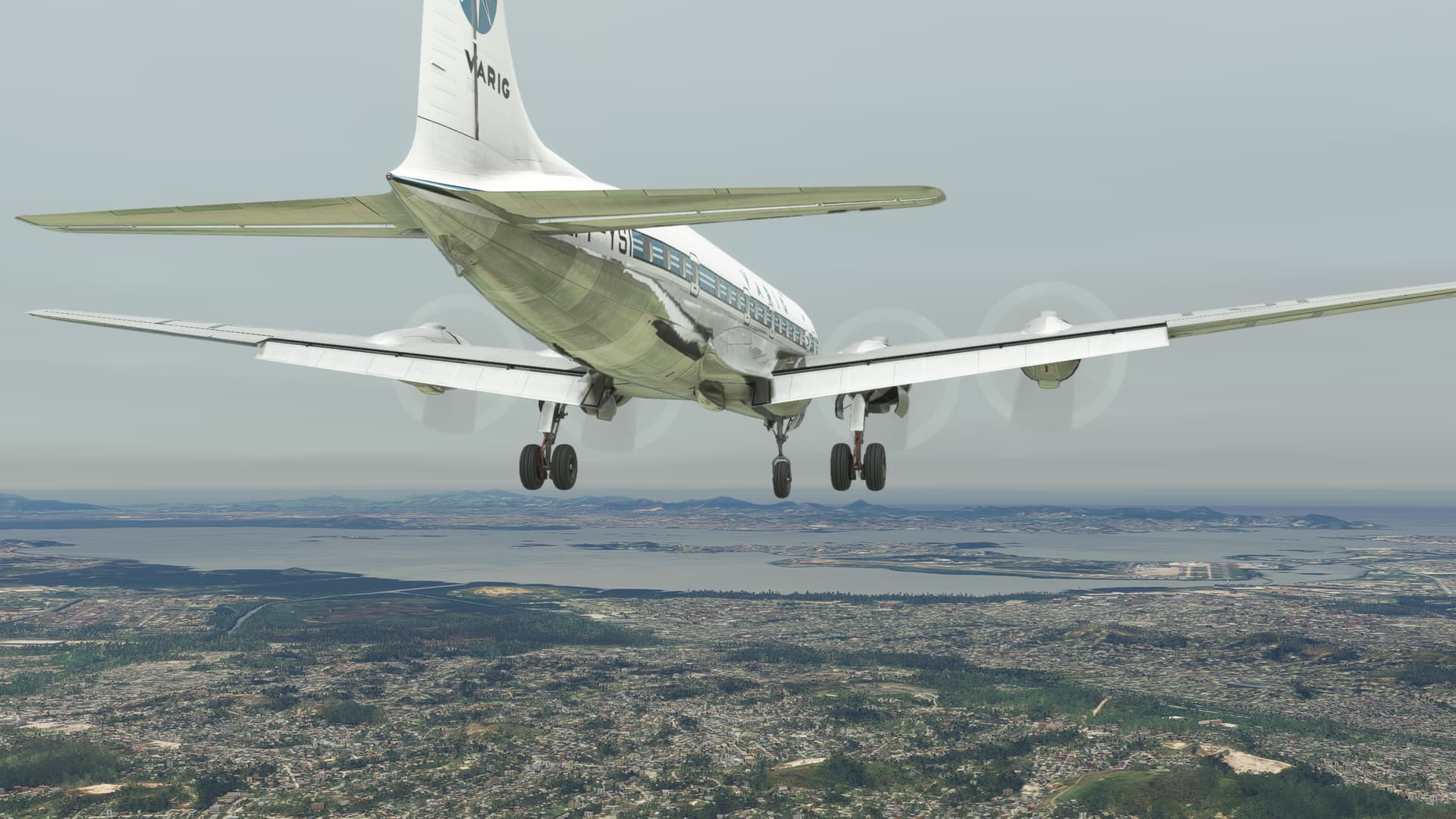
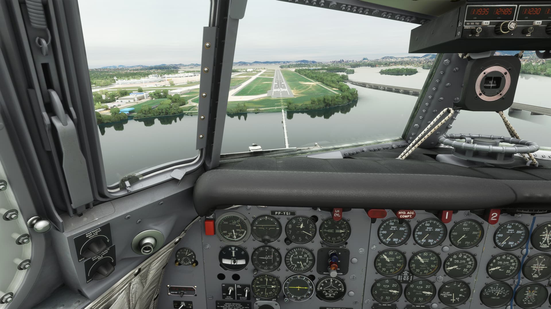
Finally, I broke out the field.
As my old LSO always used to say: “If you can’t be good; be high.”
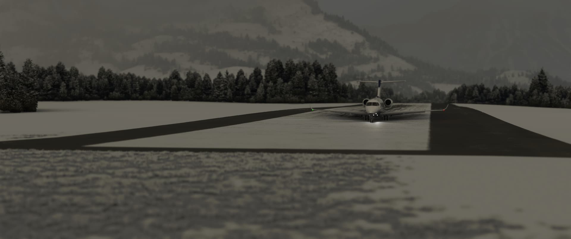
Pulled into the ramp.
About 500lbs a tank. That was a little closer than I like to cut it.
Well, I survived another one. Sorry that this was so long, but it was a really intriguing flight.
I need to do some research about the airway situation down here. Is the prevalence of Low VORs a reflection of how the airspace system has always functioned here? Or is this the face of the future of navigation? Will MSFS 2030 have no NAVAIDs at all?
Fascinating stuff.