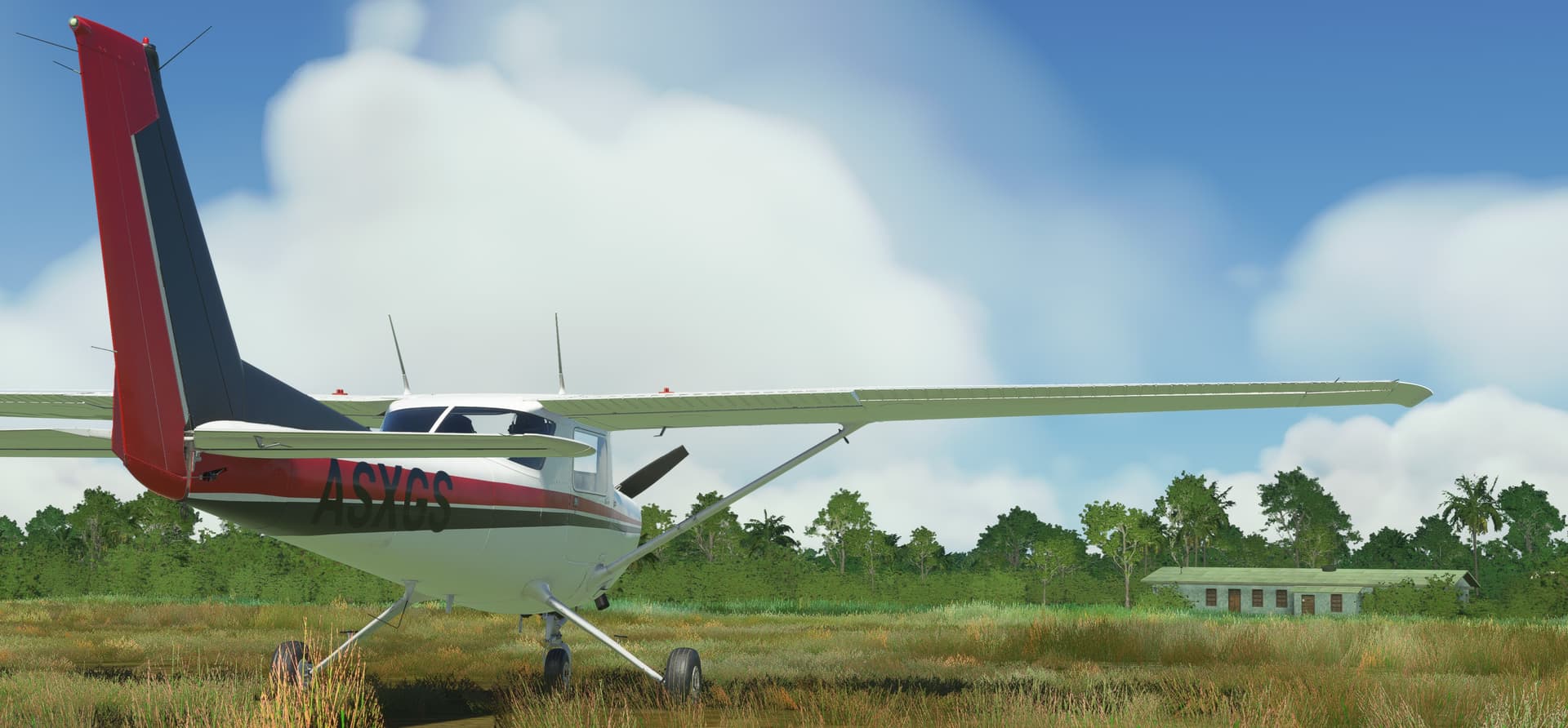
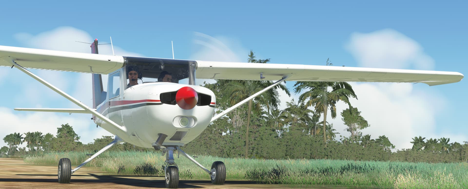
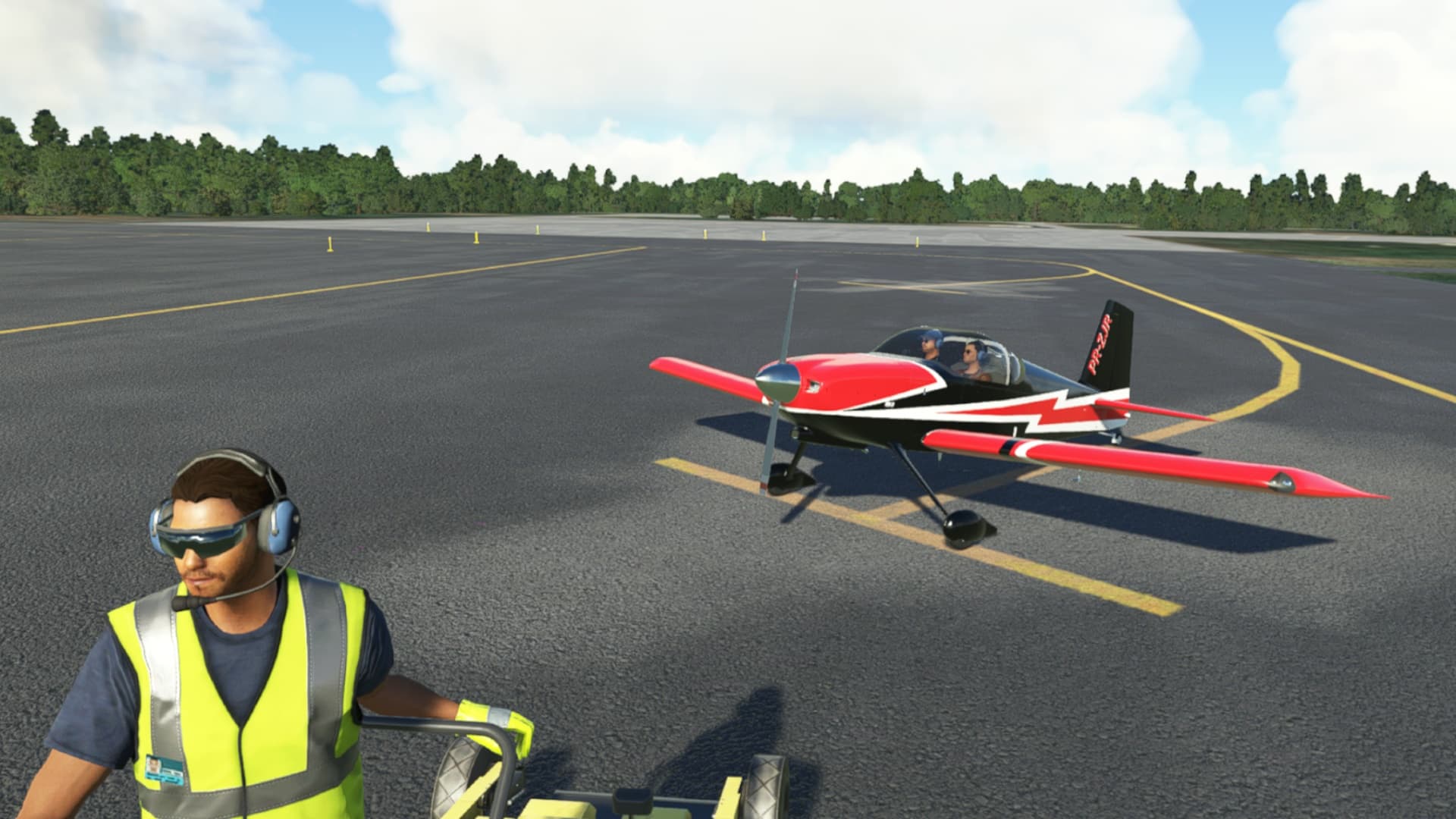
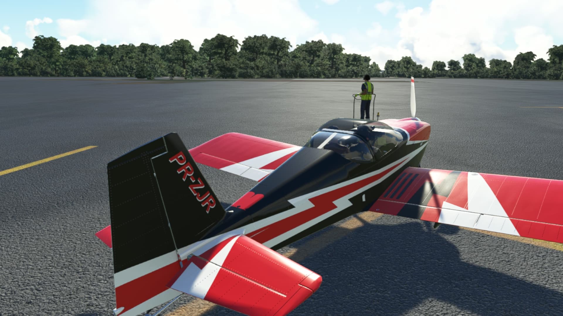
Well, you’ve come a long way, baby!
It’s nice to know at least that you, me, or anyone here can decide at the last minute to fire up the 74 or 78 and one leg it should we need to. 
Well, you’ve come a long way, baby!
It’s nice to know at least that you, me, or anyone here can decide at the last minute to fire up the 74 or 78 and one leg it should we need to.
there is still XP with its Blackbird and addon Concorde 
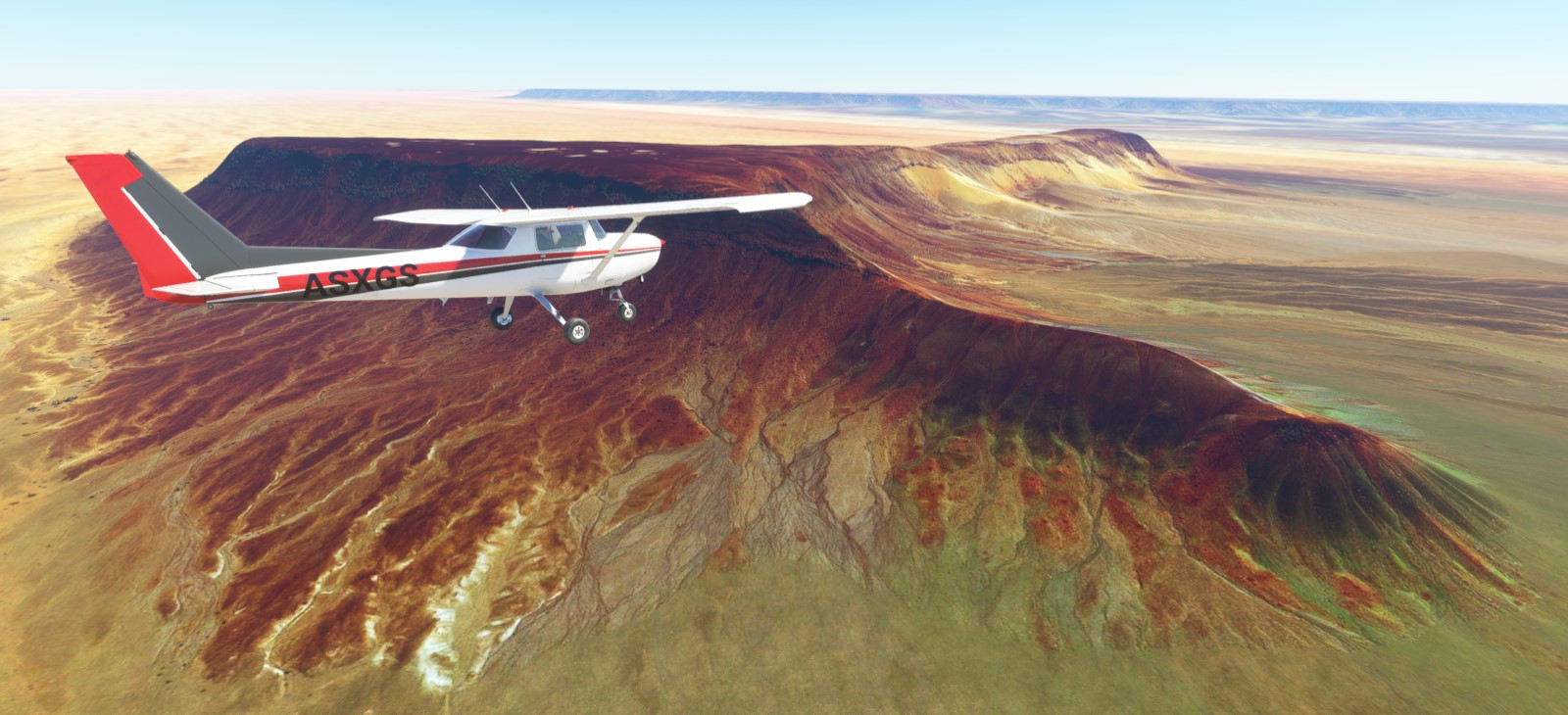
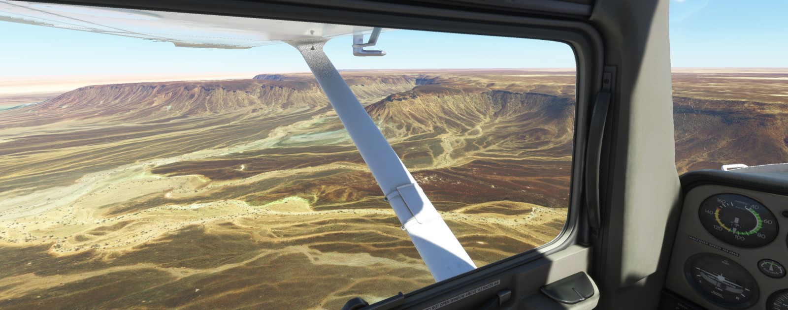
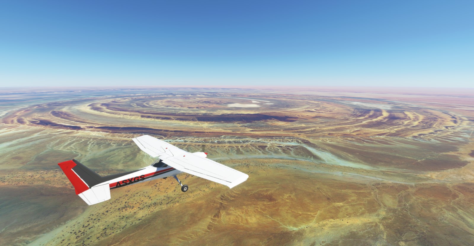
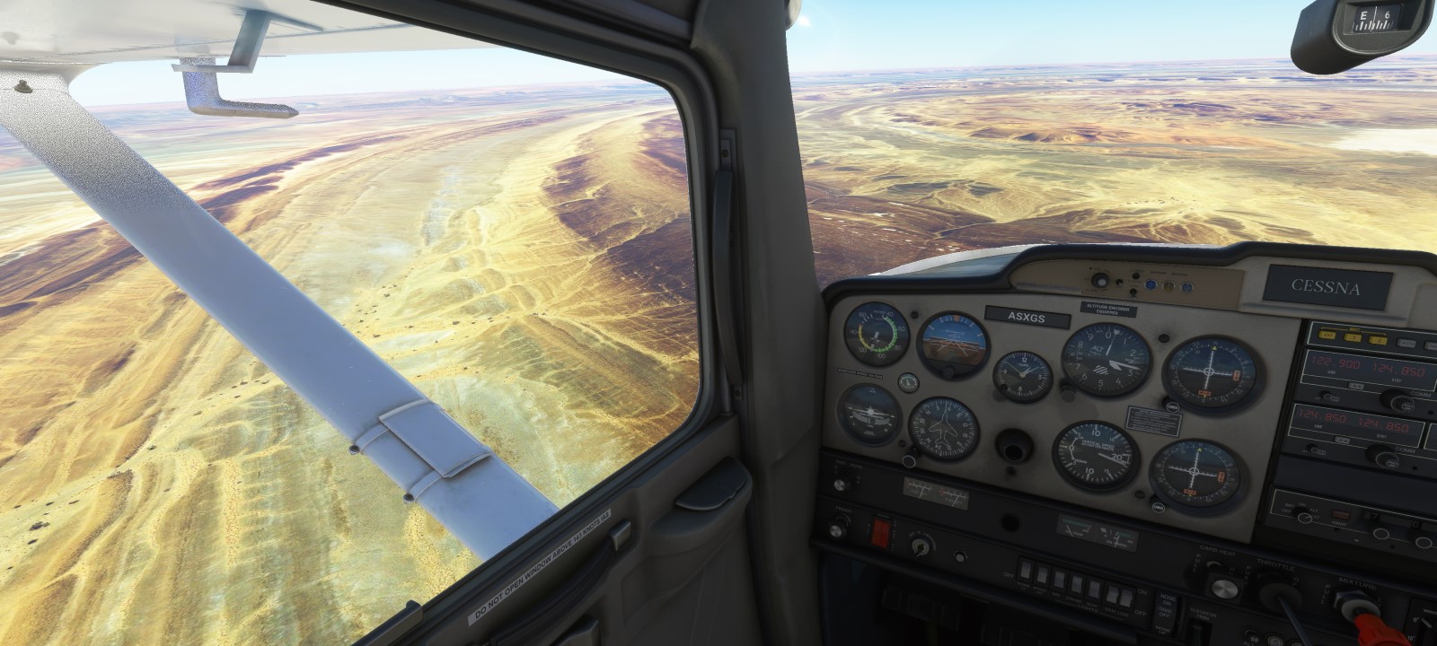
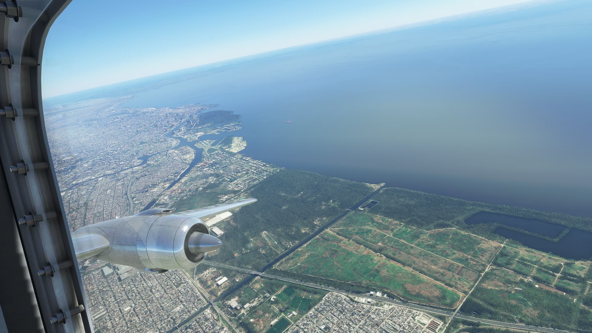
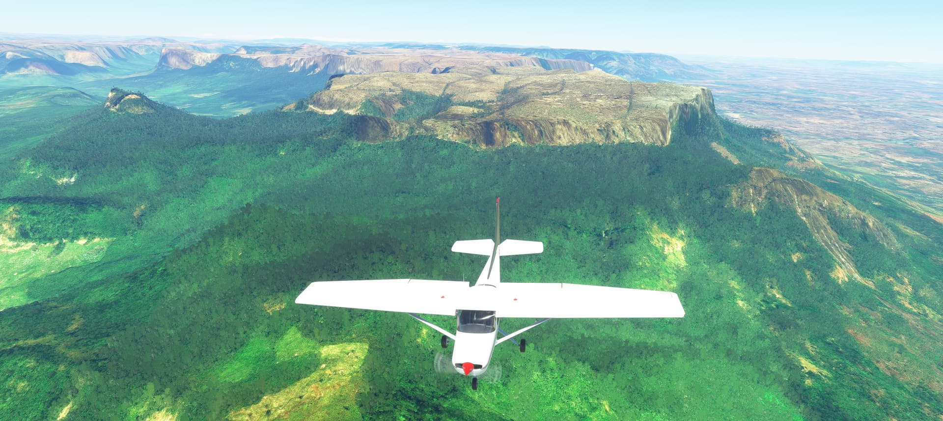
earning some money through Mauritania sent me above some interesting places ( need to tweak some setting the pics looks bad… found one culprit of the grainy shadows its called shadow maps in settings )
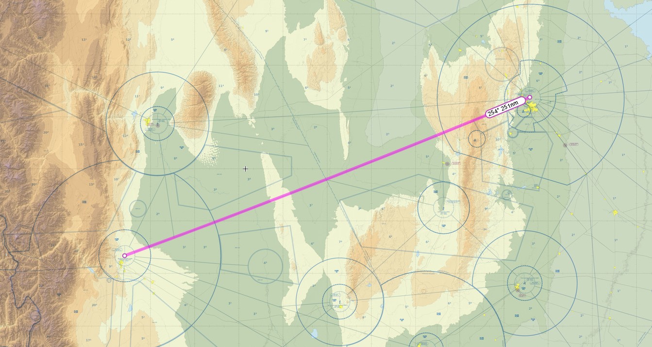
its called Richat Structure and you can track my flight on the below picture, I flew diagonally from upper right corner down to lower left corner
@Deacon211 how do you capture/save your pics pls? I have noticed that they are in bigger res but smaller size than mine, and I am resizing them to be as small as possible (1600x…)… probably Paint3D is not the best app to use… size of my previous two pics was ok and I was resizing from 2k and the last pics were resized from 4k, could that be the culprit!?
Actually, I do not generally edit them in any way.
But I do run a 2k monitor, so might that have something to do with that?
Beyond that, I just upload them by dragging into the post.
Sorry I couldn’t be more helpful.
The forum should resize them if over 1080p pixel count automatically, and that happens in the browser before the upload, so that’s probably what is happening here. We’d love to allow true 4K sizes etc but the hosting costs really ramp up in that case.
I mean there is no need for 4k pics here imo, I similarly wanted to save some space by resizing them as low as 1600x… ,and I did it outside in Paint 3D, but realized that they are actually bigger in size than the 1080p  so it seems that the compression done by Paint3D isnt ideal will check some other apps
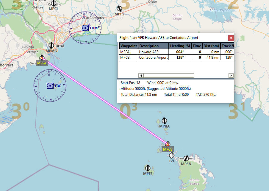
Leg 19
Howard AFB to Contadora
41.8 nm
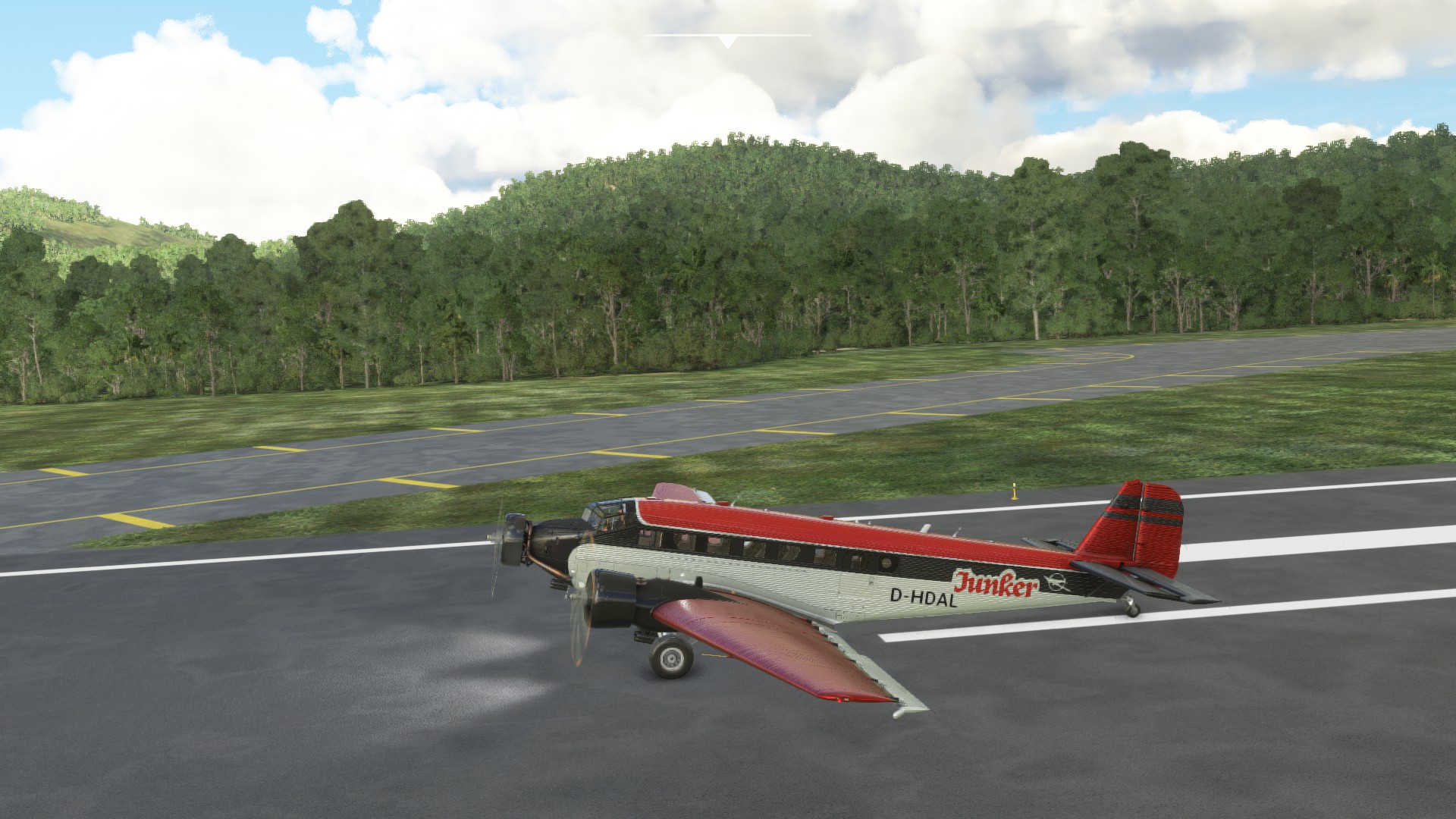
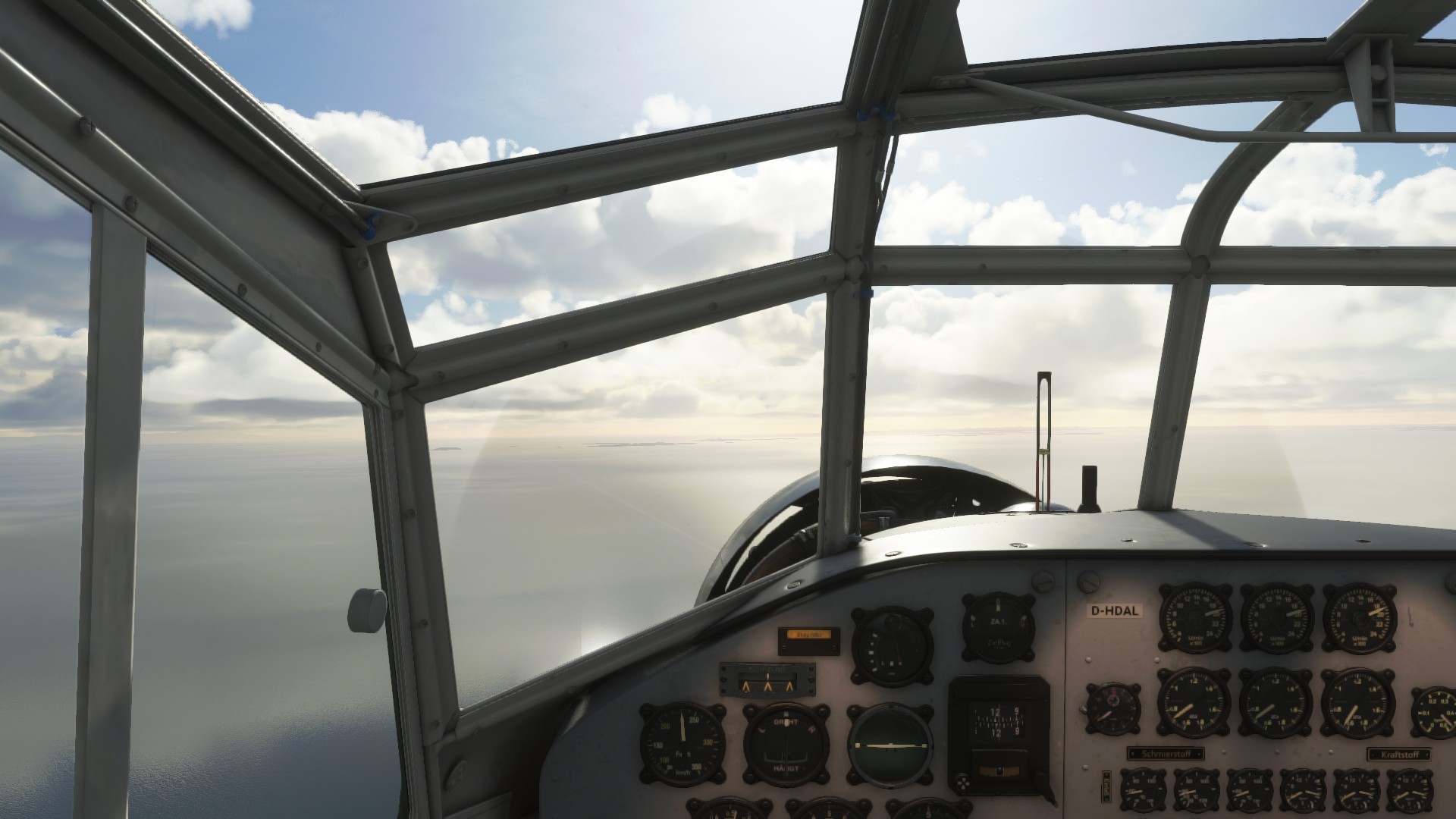
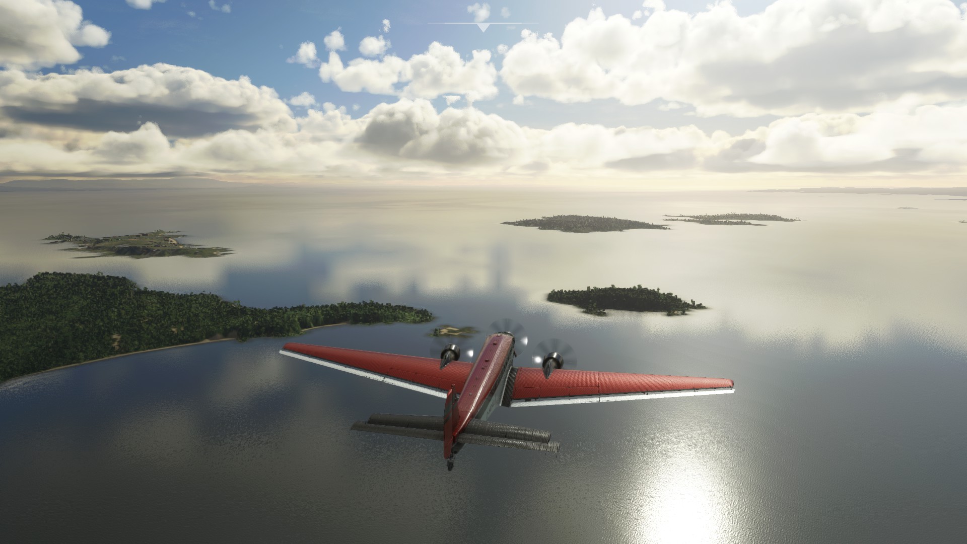
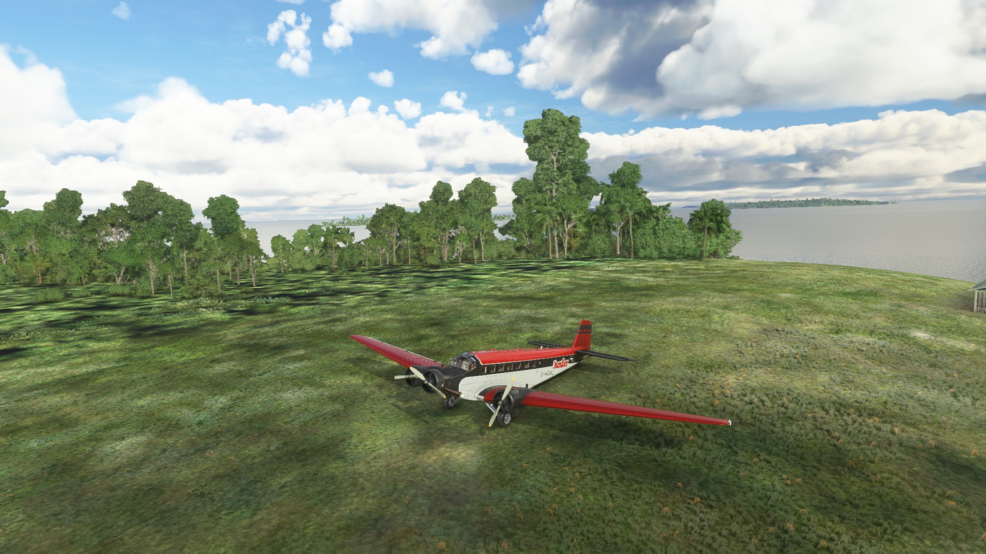
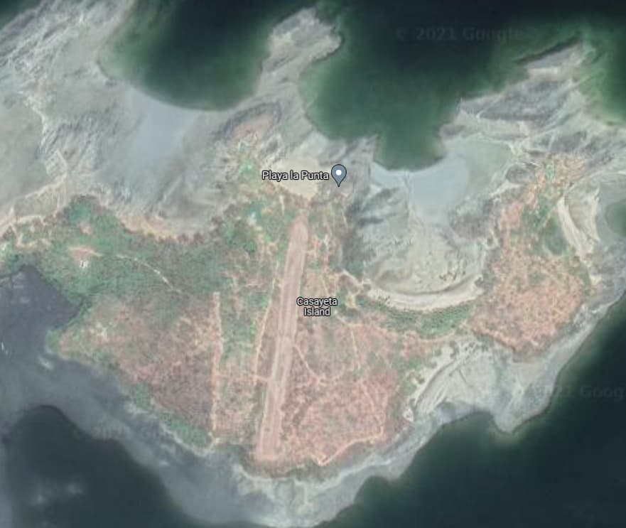
So one of the things I like about the Xmas flight is going through a whole bunch of territory I probably never would have flown through. Along with a whole bunch of landings and takes off that are challenging. In a change from the usual “How to Kill Yourself in an Islander” we are having a guest appearance by the vintage Ju-52, and we are going to be trying a short field landing. We have a fully loaded Ju-52 with about 30% fuel, and we’re going to see if we an get into a 1350’ grass strip.
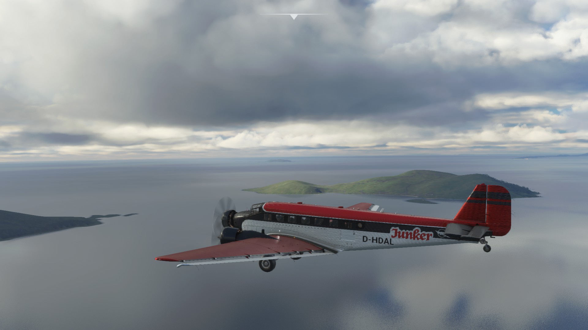
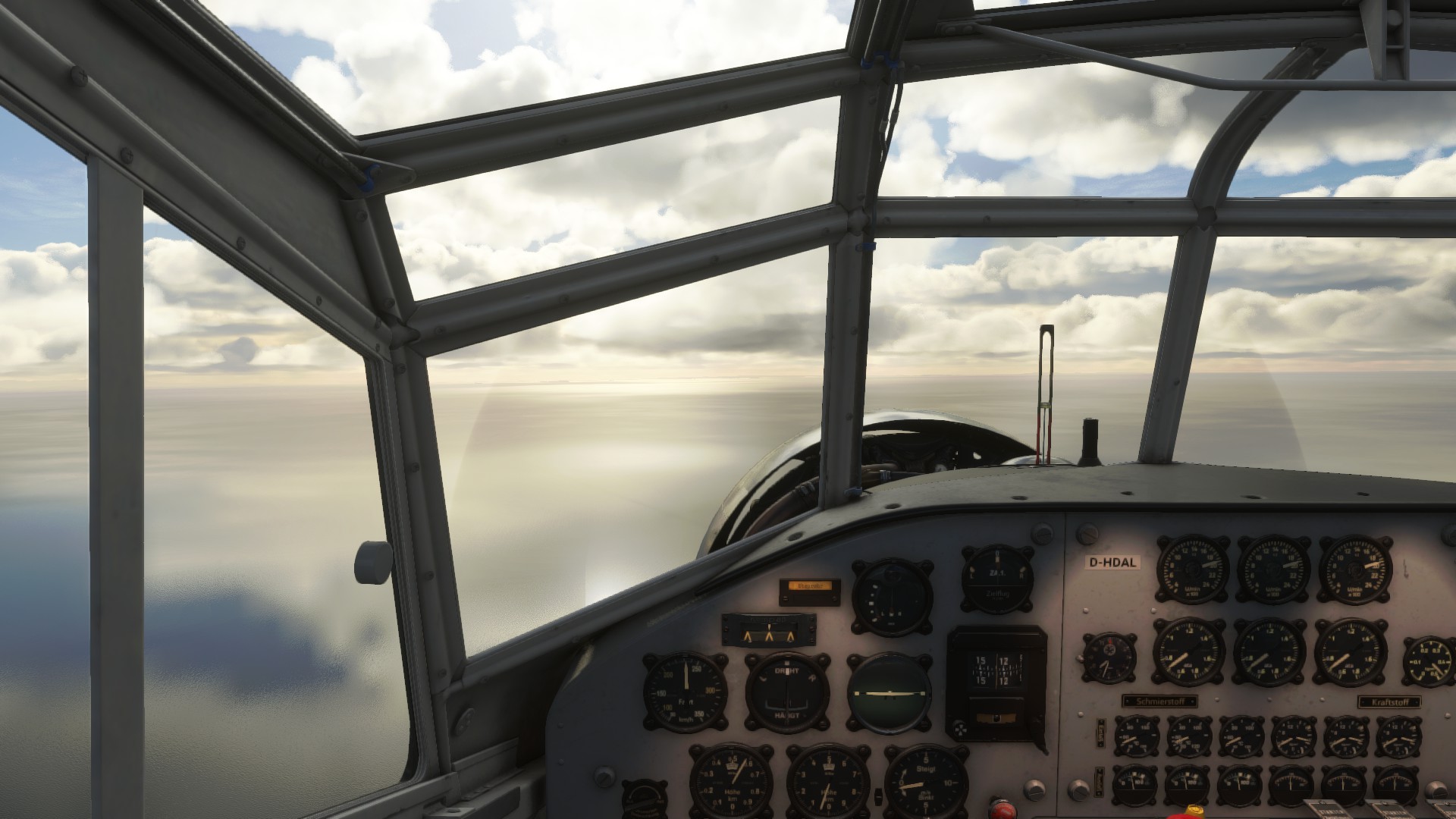
No land in sight, and a solitary VOR to keep us on track. Ah vintage aviation
Okay land about where it was expected, so far so good.
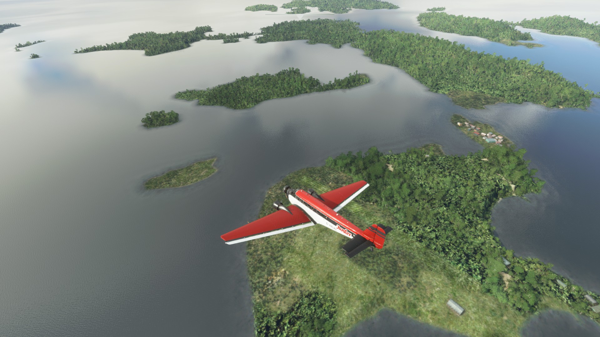
There? That’s where I’m landing this thing?!
So there is a pretty steep slope on the N edge of the island, that if you can get it right kills a lot of your roll out speed. If you get it wrong it catapults you back into the sky with almost zero airspeed… I got it on the first try actually, but subsequent touch and go’s not so much. Glad it’s a sim!
Realworld
reached greener parts of Africa - Senegal
…and tried that drag-n-drop method for adding pics, works great, nice compression
Good job @jenrick! That Junkers looks like it could be a bit floaty if left to it’s own devices.
Someone showed me that last Christmas flight.
Before that I was working waaaaay too hard! 
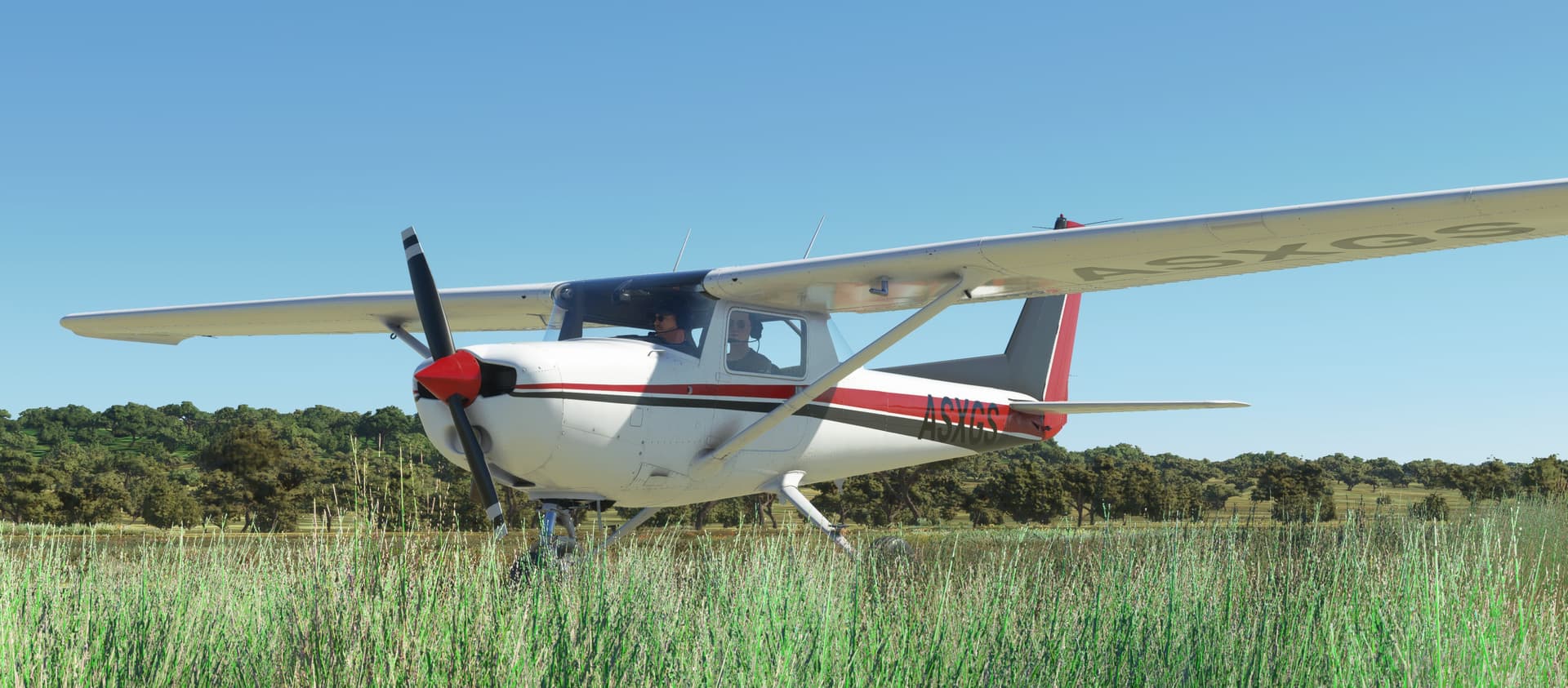
Nice job! I really like the default Cessna.
Leg 25: Galeao - Antonio Carlos Jobim Airport, Rio de Janeiro, Brazil (SBGL) TO Aeroparque Jorge Newbury Airport, Ciudad de Buenos Aires, Argentina (SABE)
OR

Alright, making some good time down the coast.
My goal today was to leave Rio behind me, having been up late last night (respecting the 8 hour rule of course) drinking something blue that looks like the stuff that they used to keep combs in, looking down at my new tattoo and thinking,
“Who is ‘Izabel’?”
to sally forth, ever south, to Buenos Aires.
I know a good bar there.
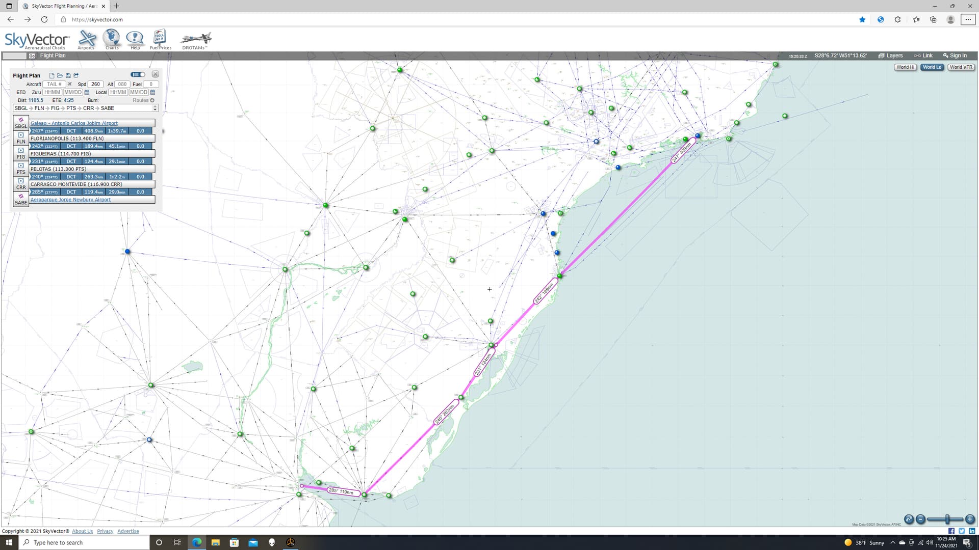
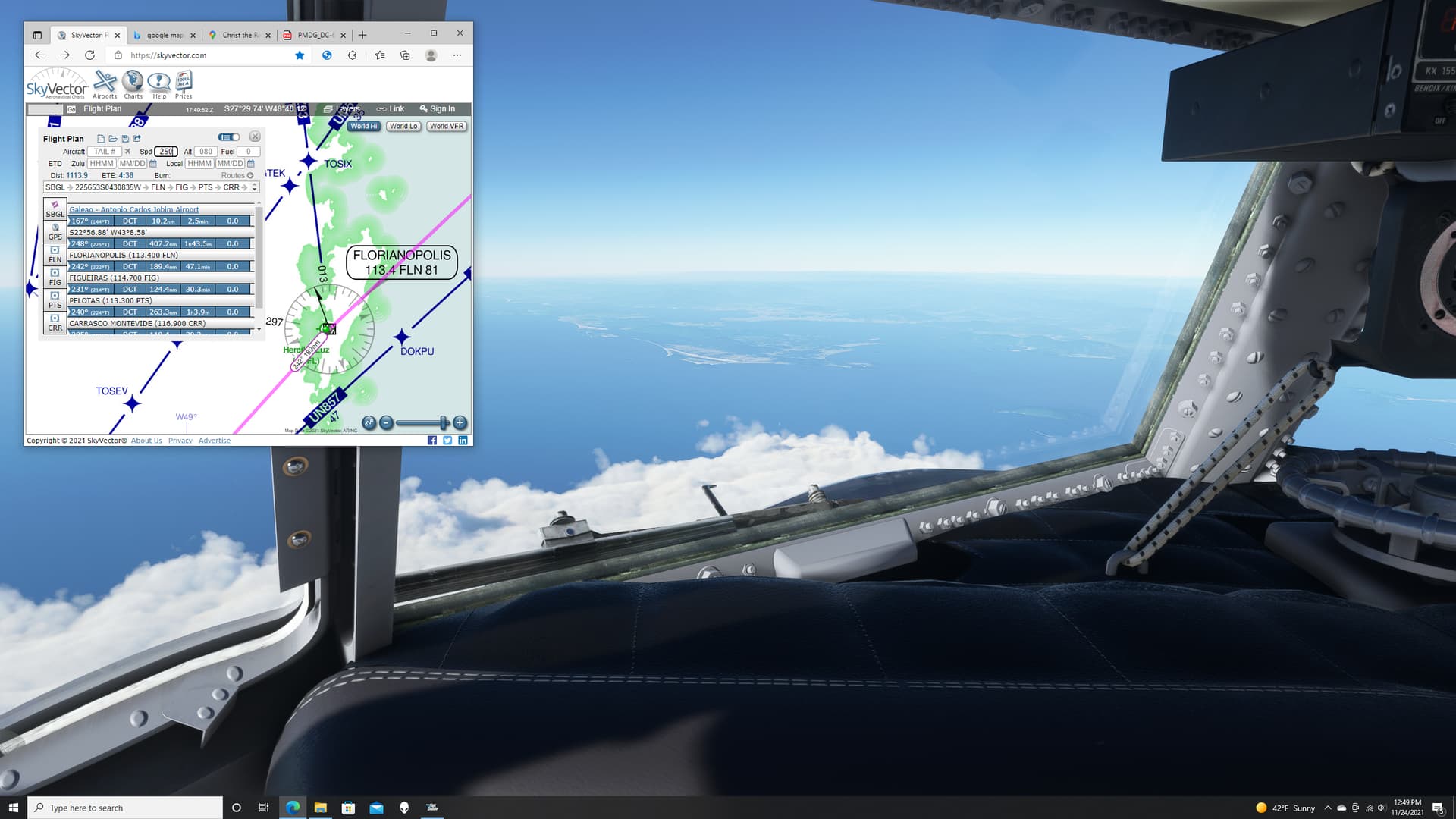
I pulled out my trusty Skyvector and plotted a course, almost, but not completely, straight to Buenos Aires, which apparently means, “Fair Winds”.
Let’s hope so.
Speaking of which, I am still not quite convinced how well I understand the winds aloft in MSFS. So, I was ideally looking for several, closely spaced NAVAIDs along the way. Unfortunately, with little success. I even tried switching between high and low charts. But there’s just not much out there, either VOR or NDB.
Personally, I just find this endlessly fascinating (yeah, we know, you’ve already mentioned it, twice). To someone who has flown primarily on airways designed with continuous signal coverage, or with one of several different kinds of INS, GPS, IRU/DME when not, I have a renewed respect for those old pilots. Flying in the weather, in the terrain, with no radar contact and only a wavery ADF needle to guide you (or less), it had to be hair raising. 
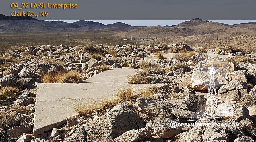
But I do think that it’s the way future National Airspace Systems will look. Maintaining a ground based navigational system is a tremendous expense. Once GPS becomes the de facto world standard, if it isn’t already, most VORs will be abandoned by the roadside, like those old cement arrows you can still see mouldering across America.
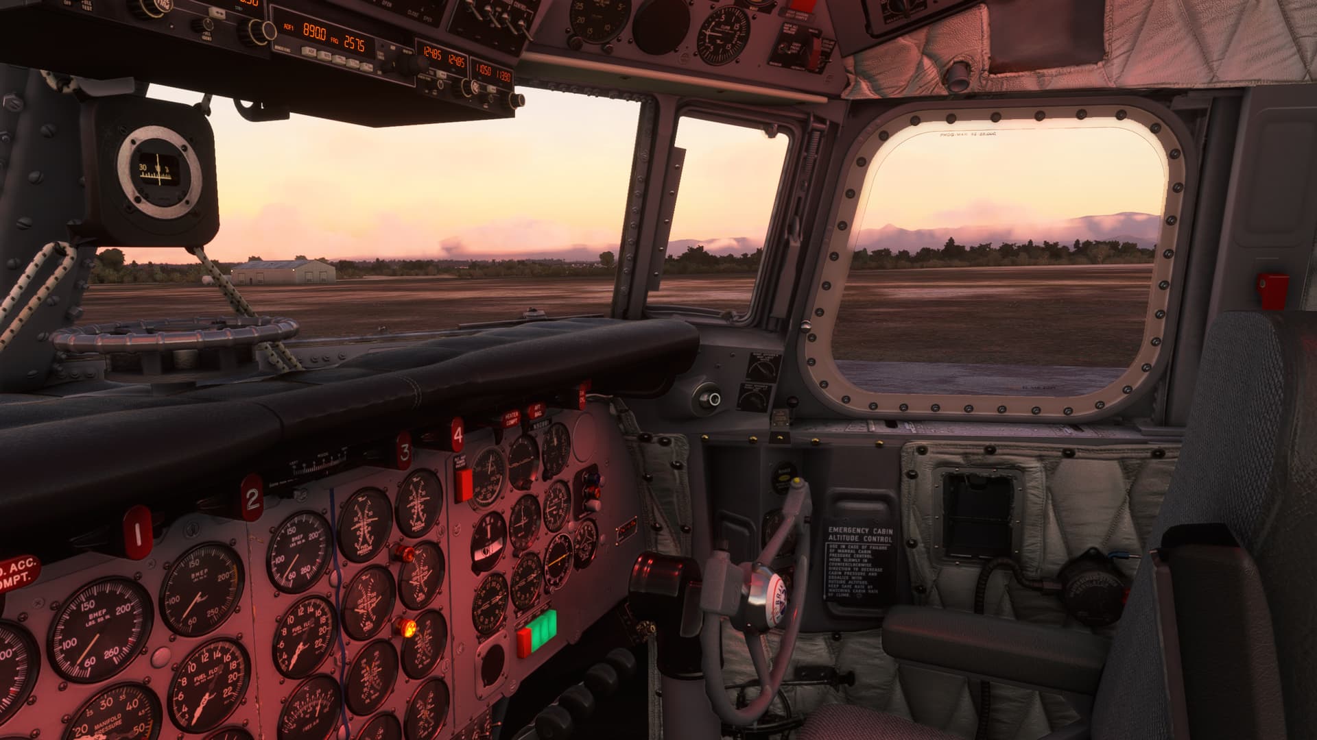
Flying the DC-6, down here, feels like having one foot behind me, rooted in the past, with the other stepping into the future. It’s really an interesting perspective, and one of the many things that I have enjoyed about this trip.
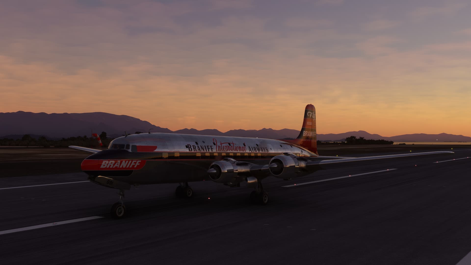
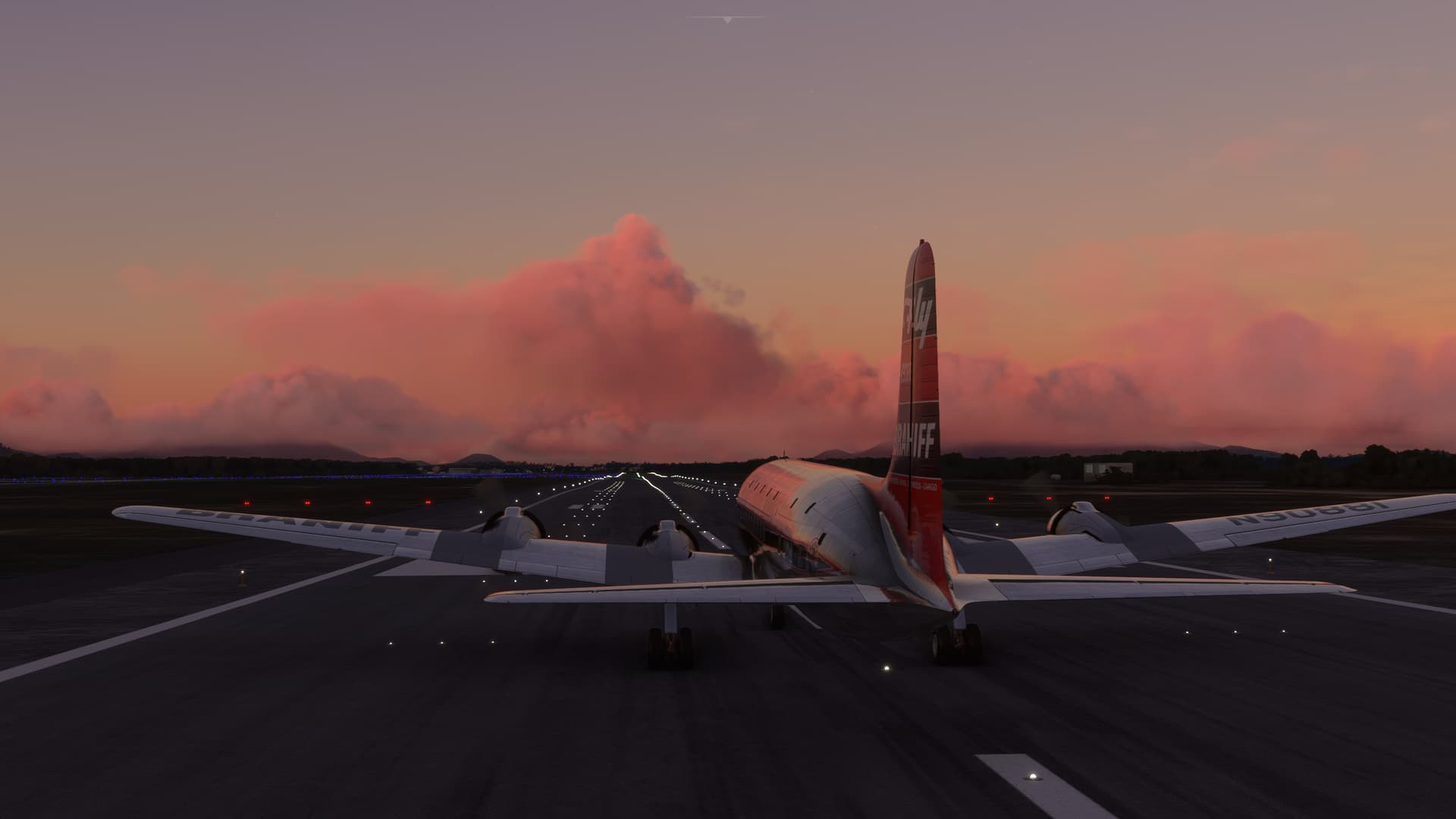
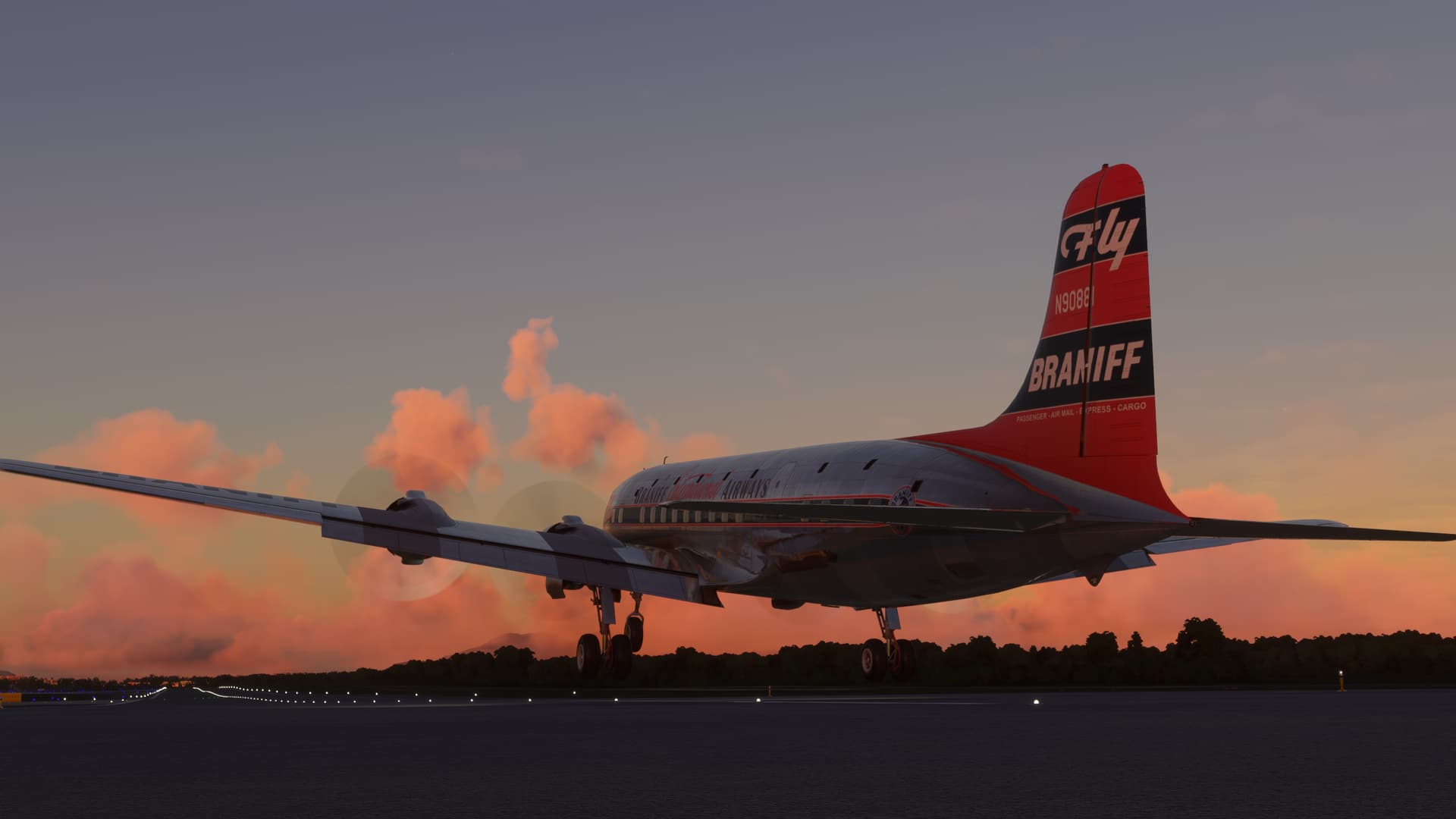
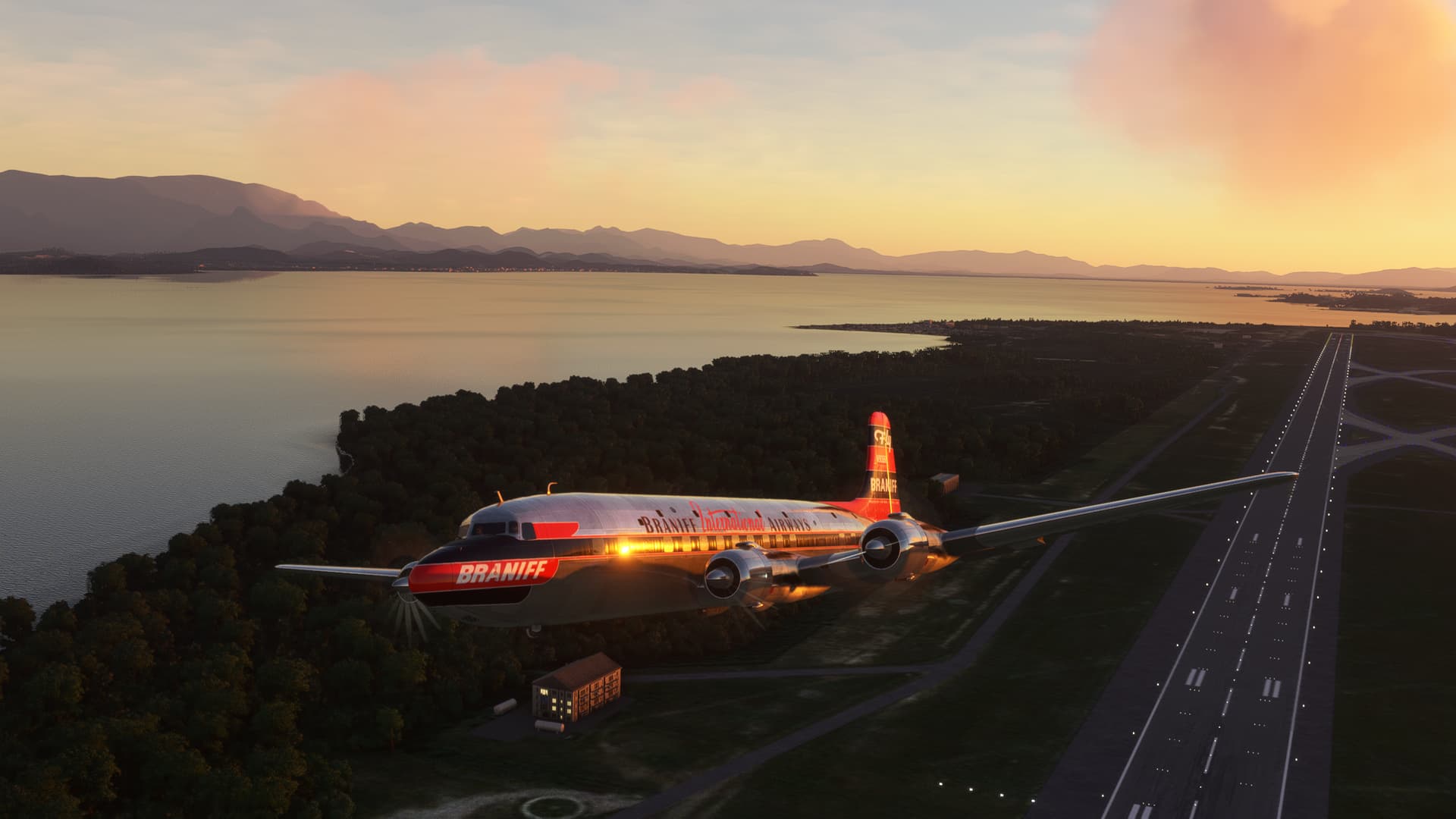
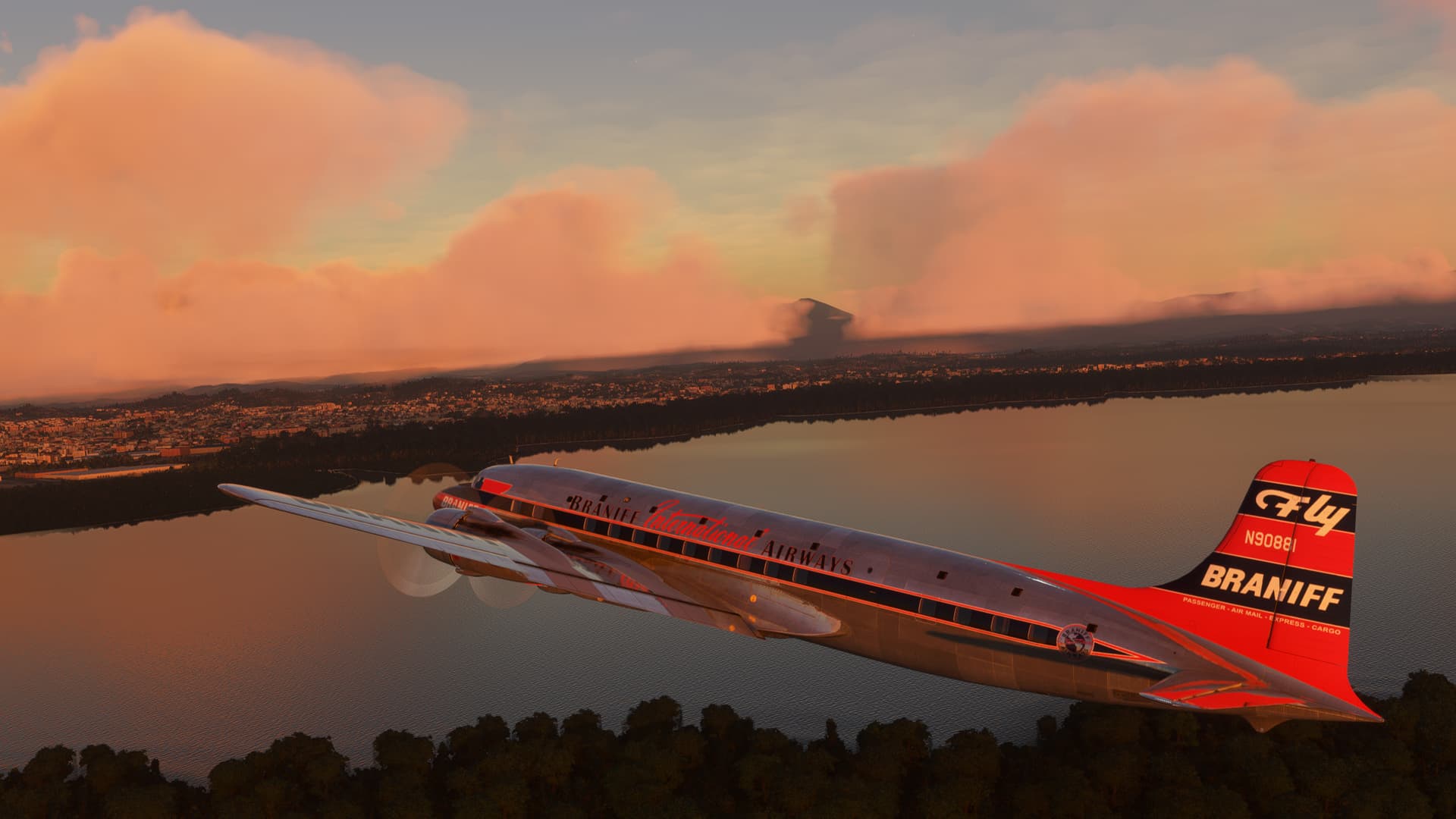
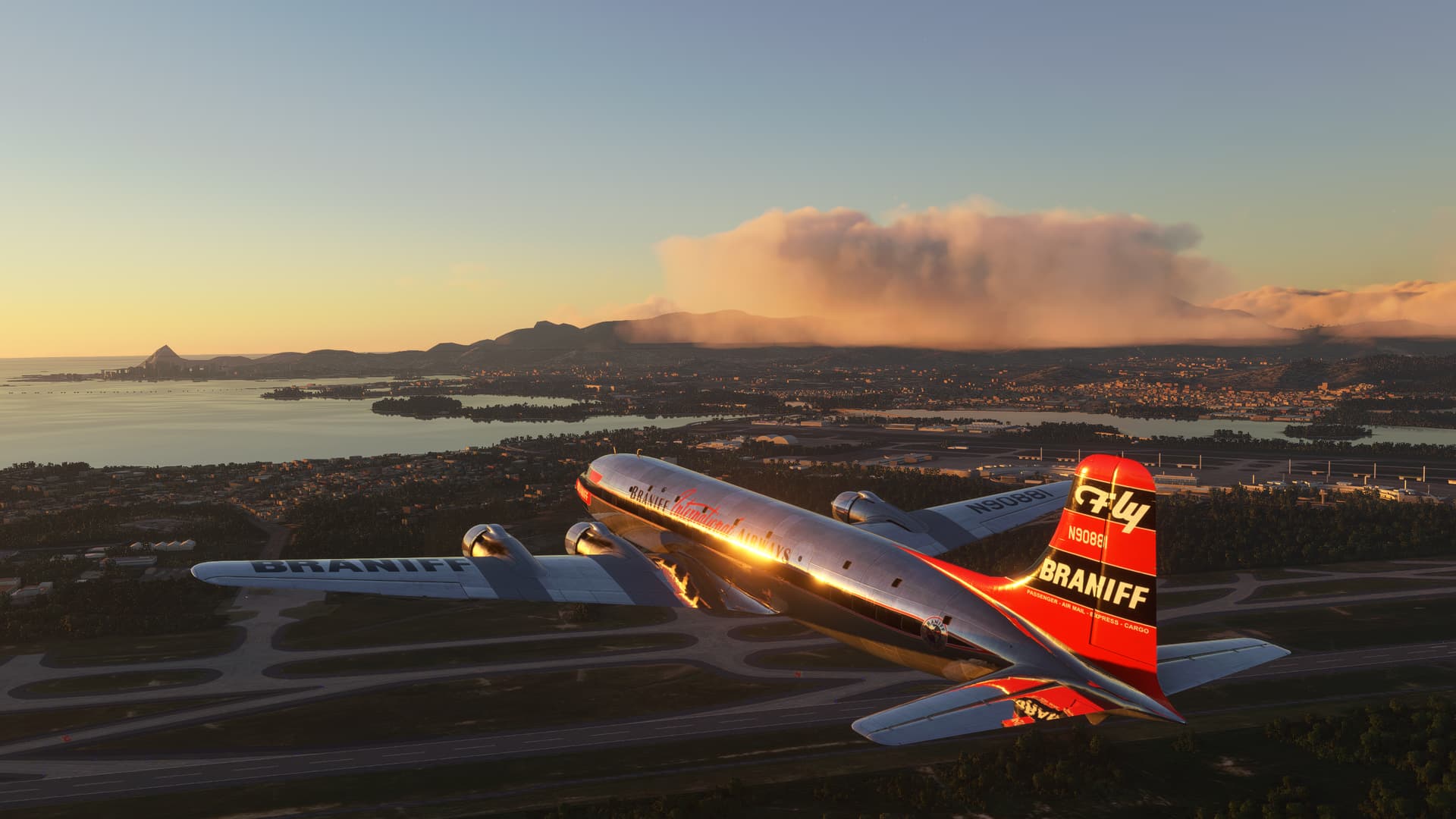
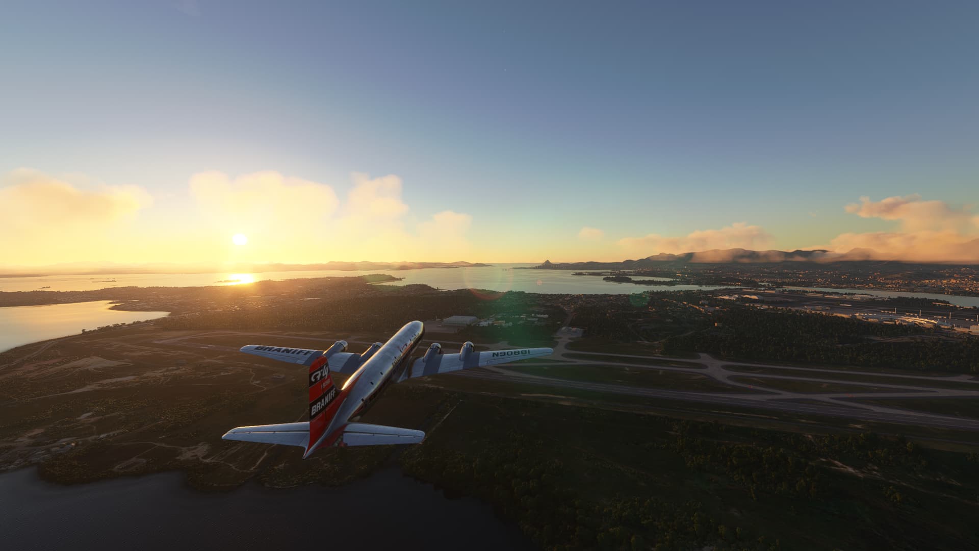
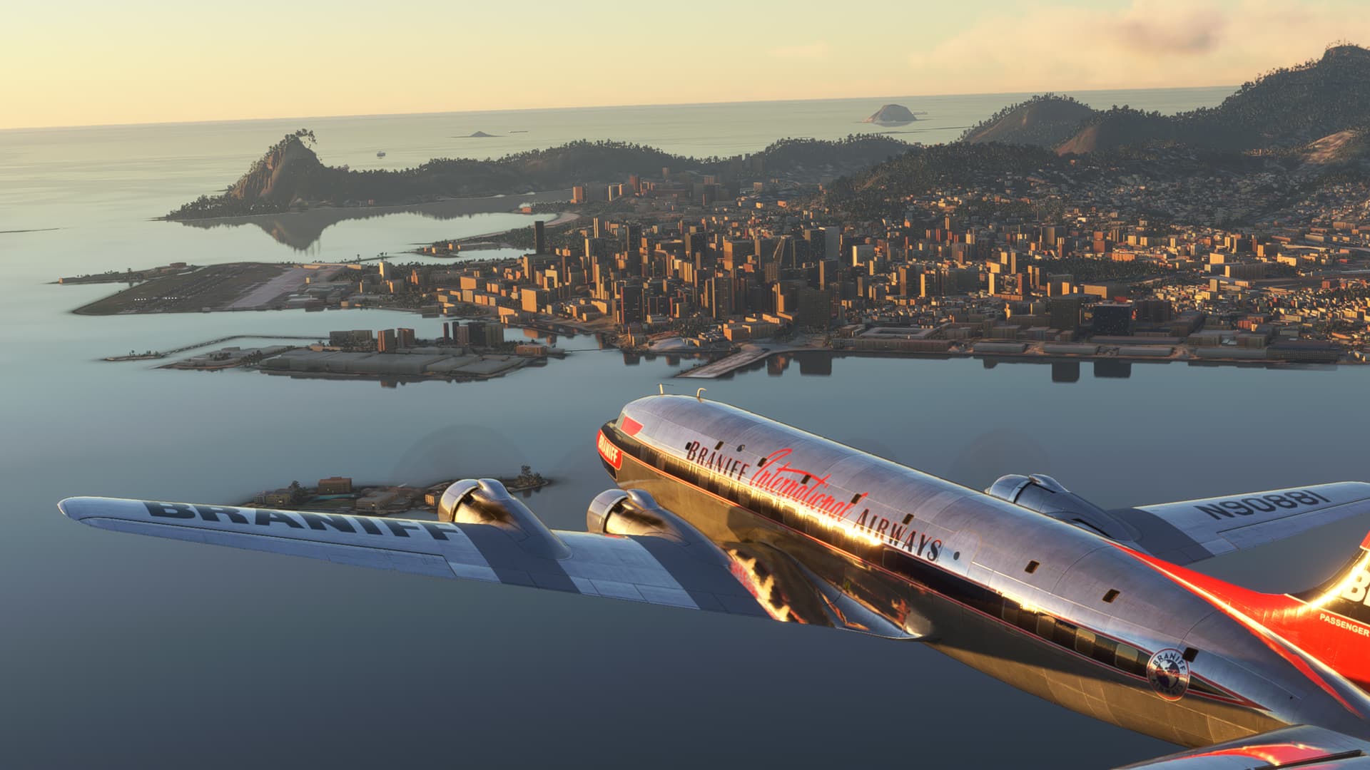
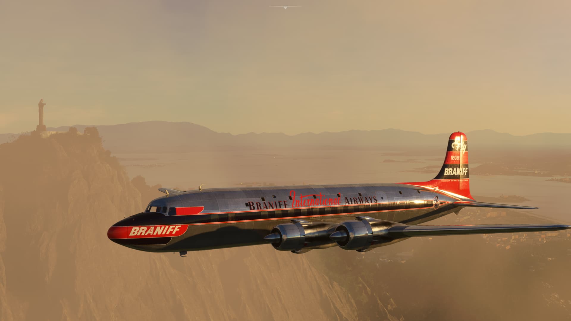
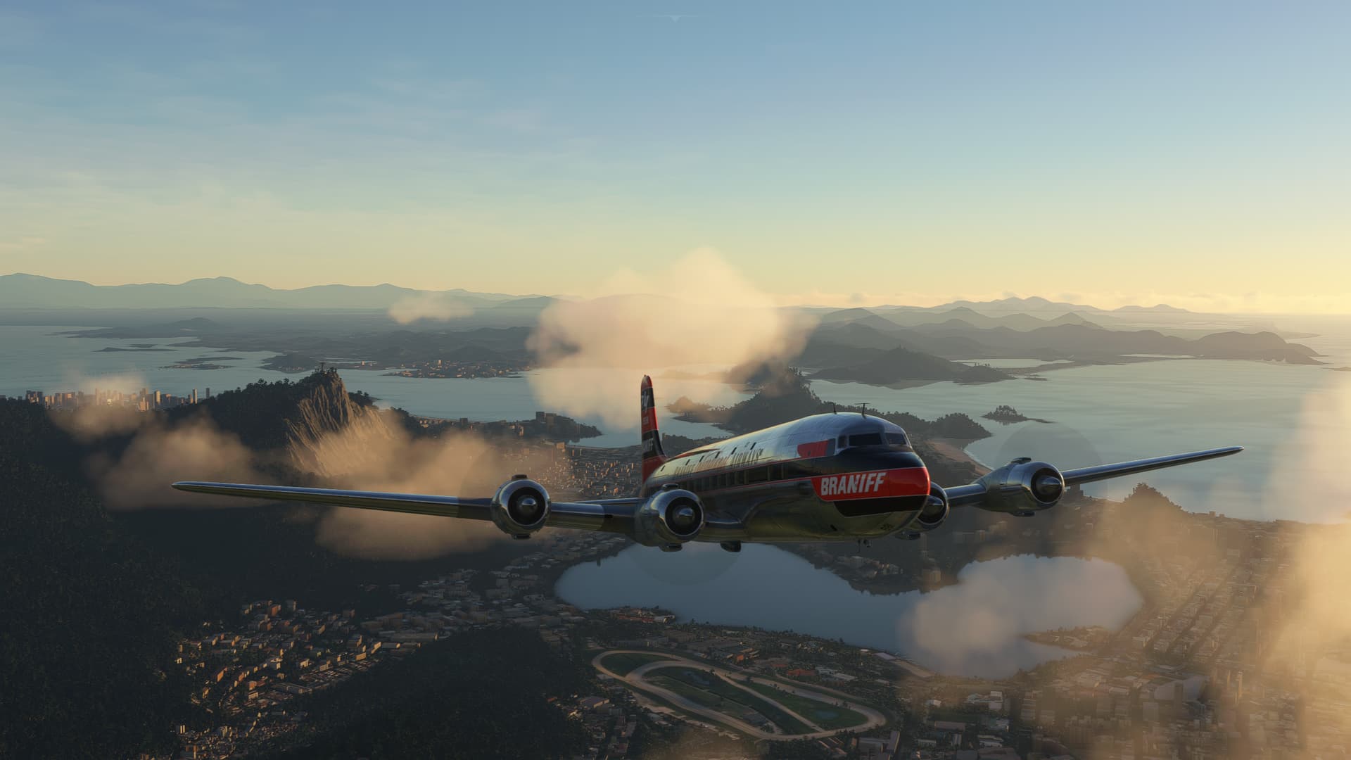
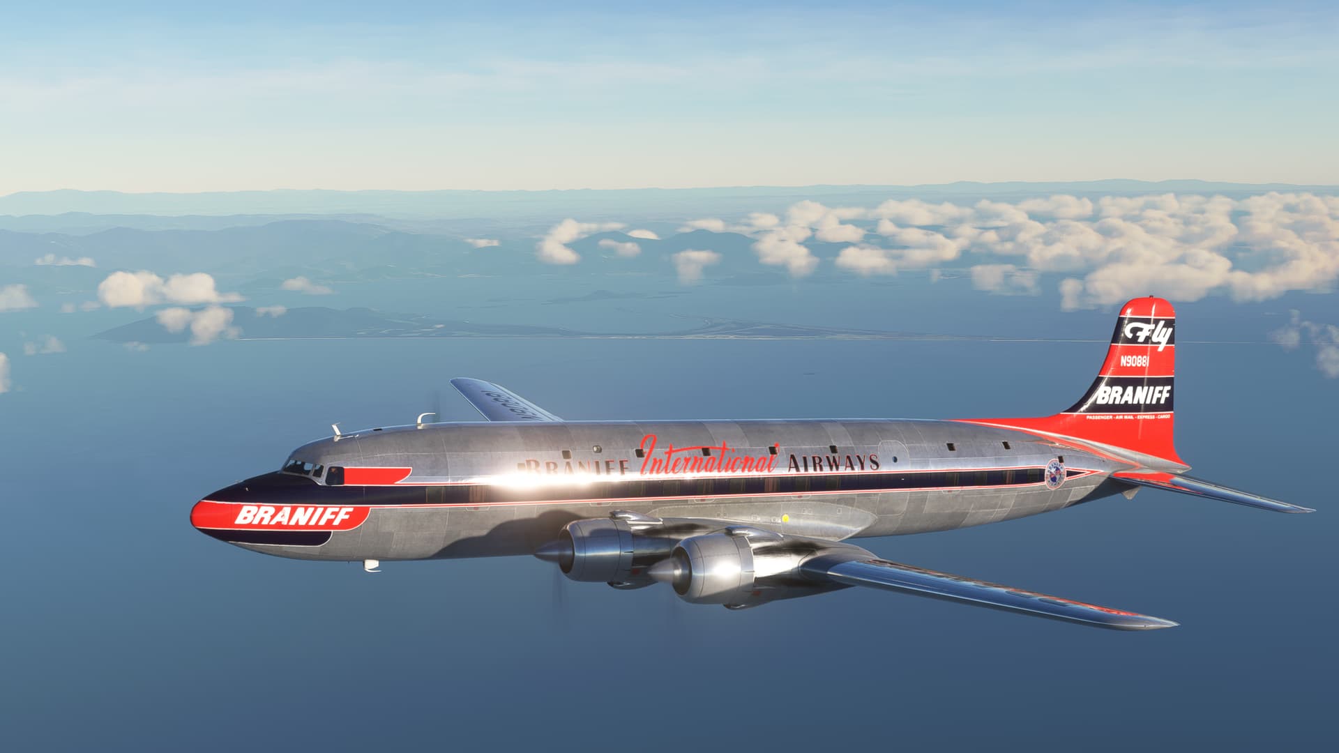
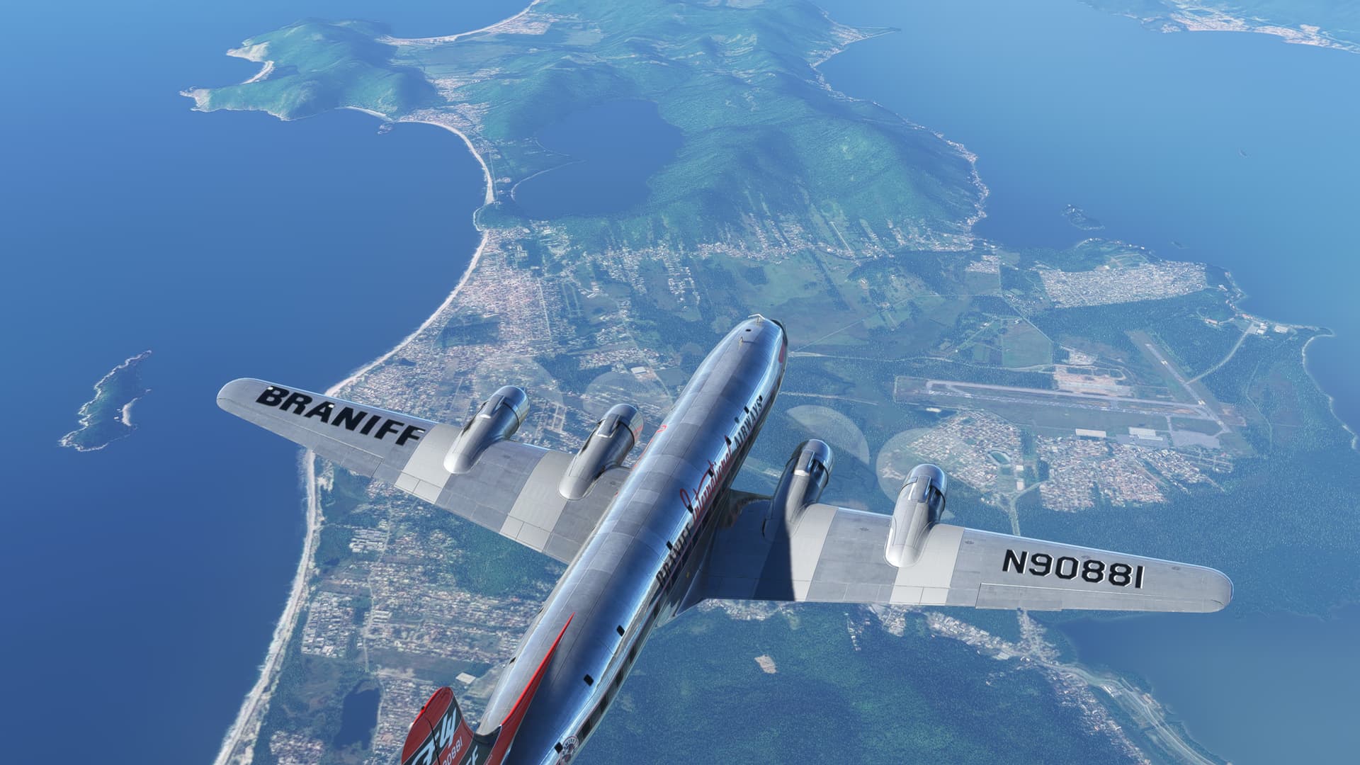
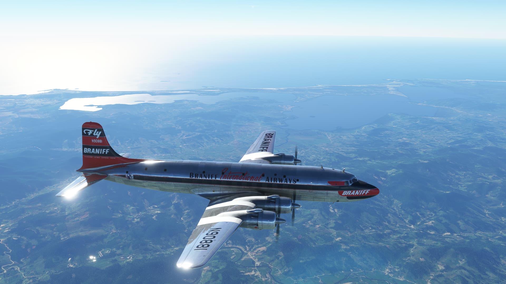
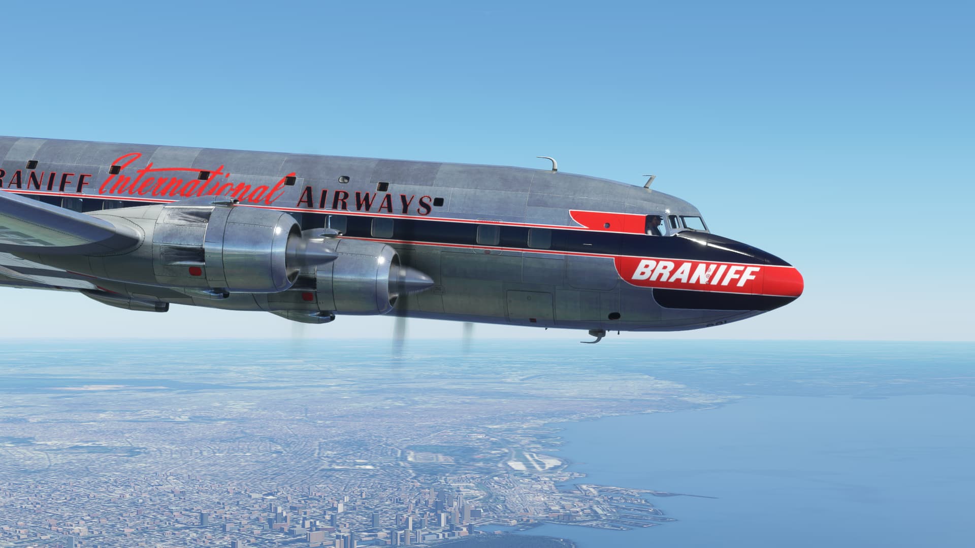
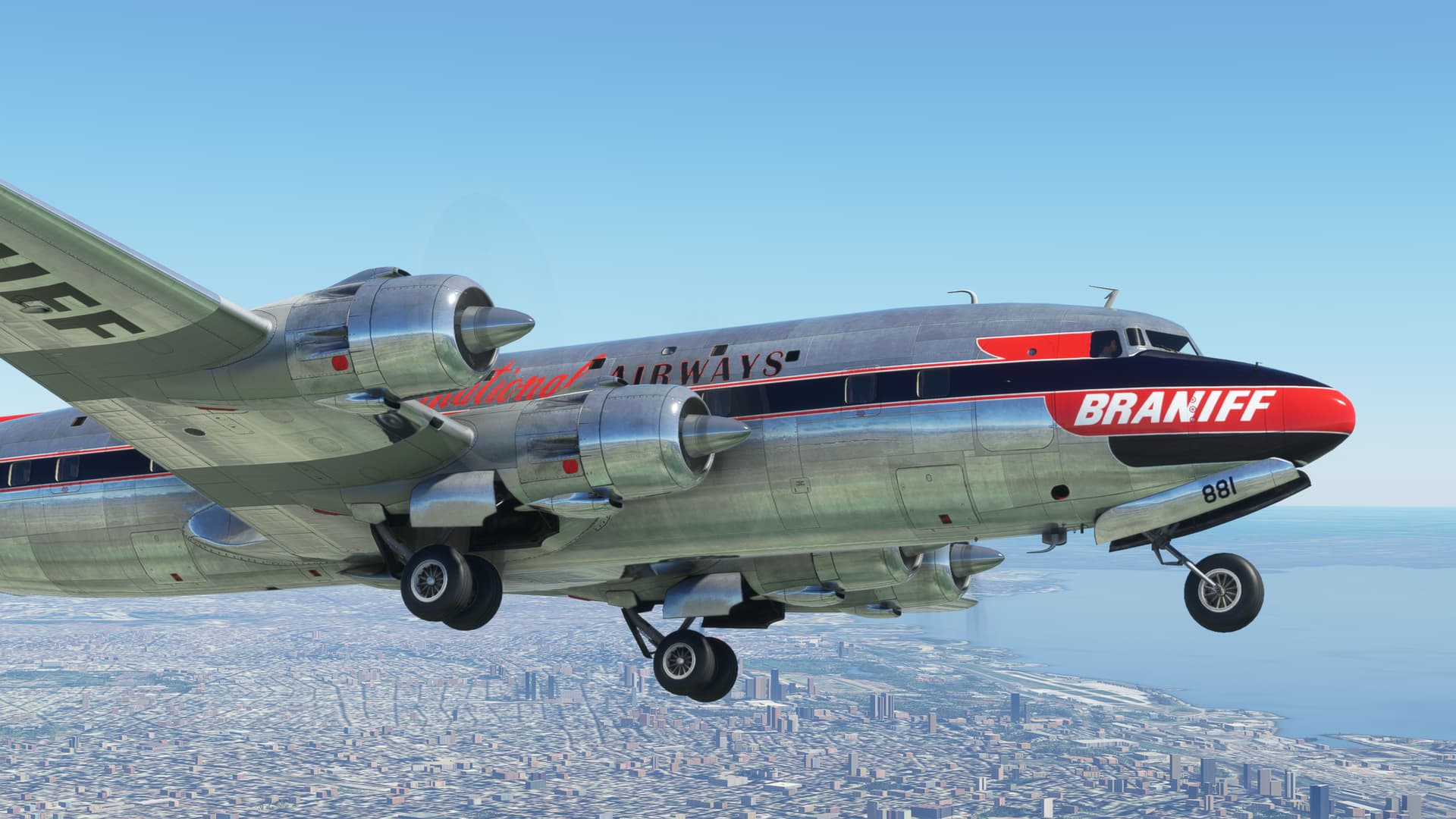
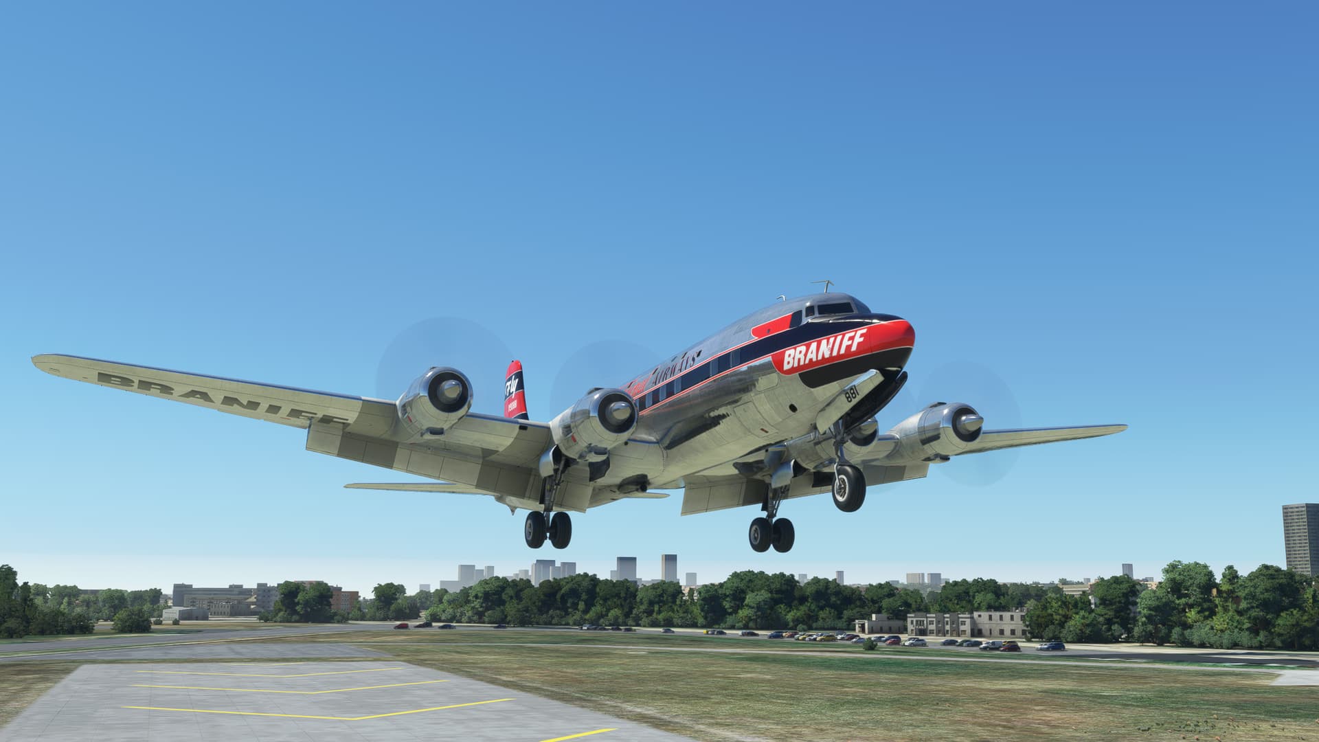
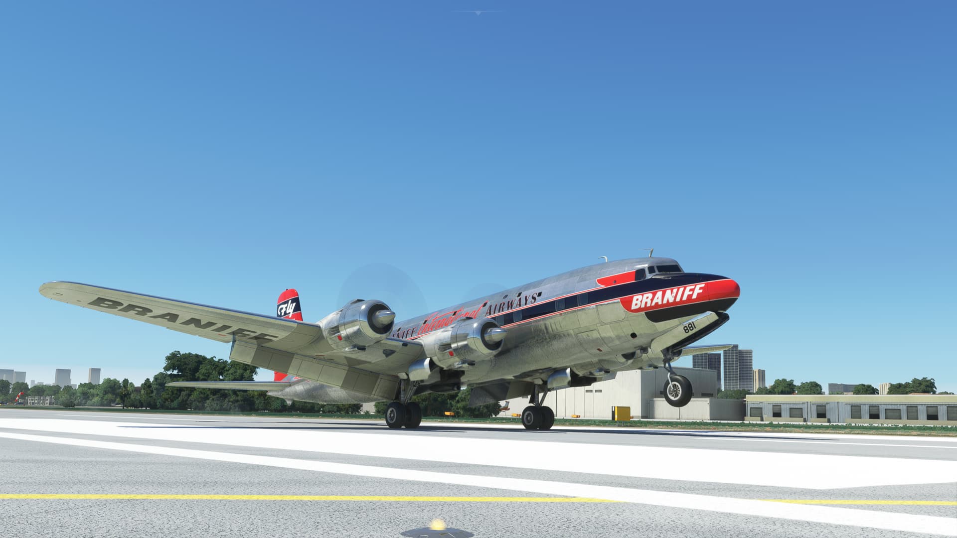
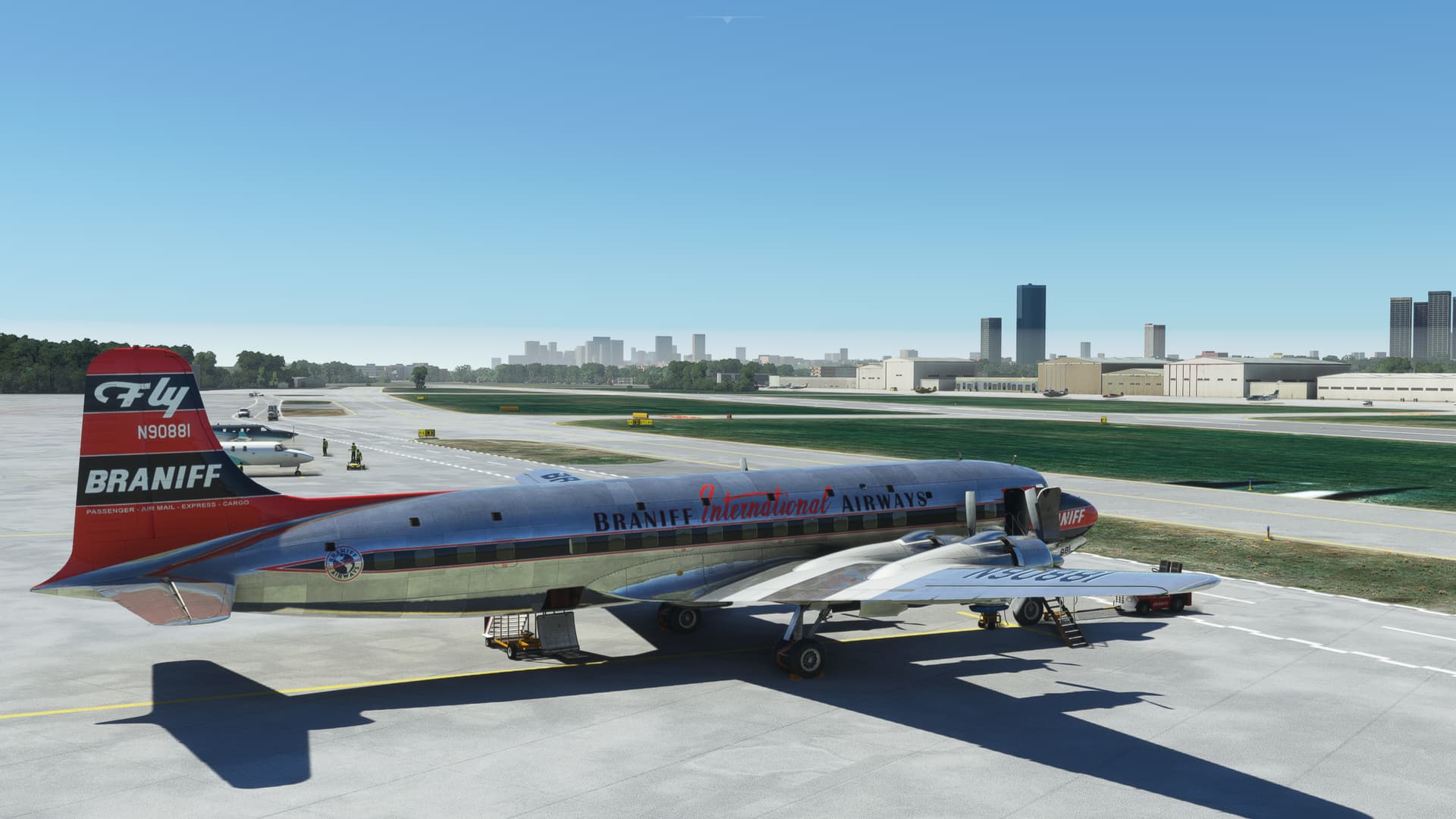
I set up on the western runway, this time in Braniff livery, courtesy of
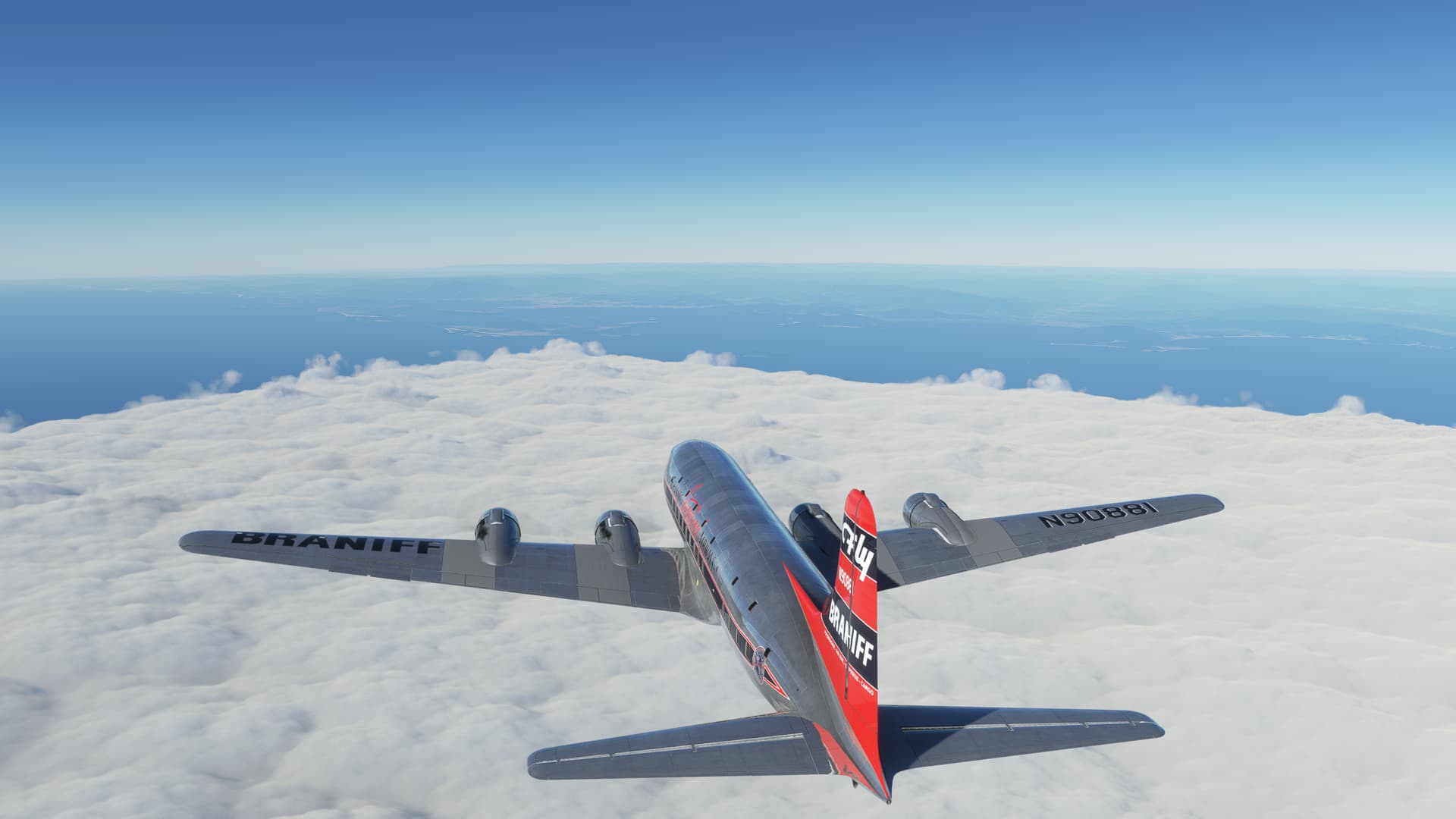
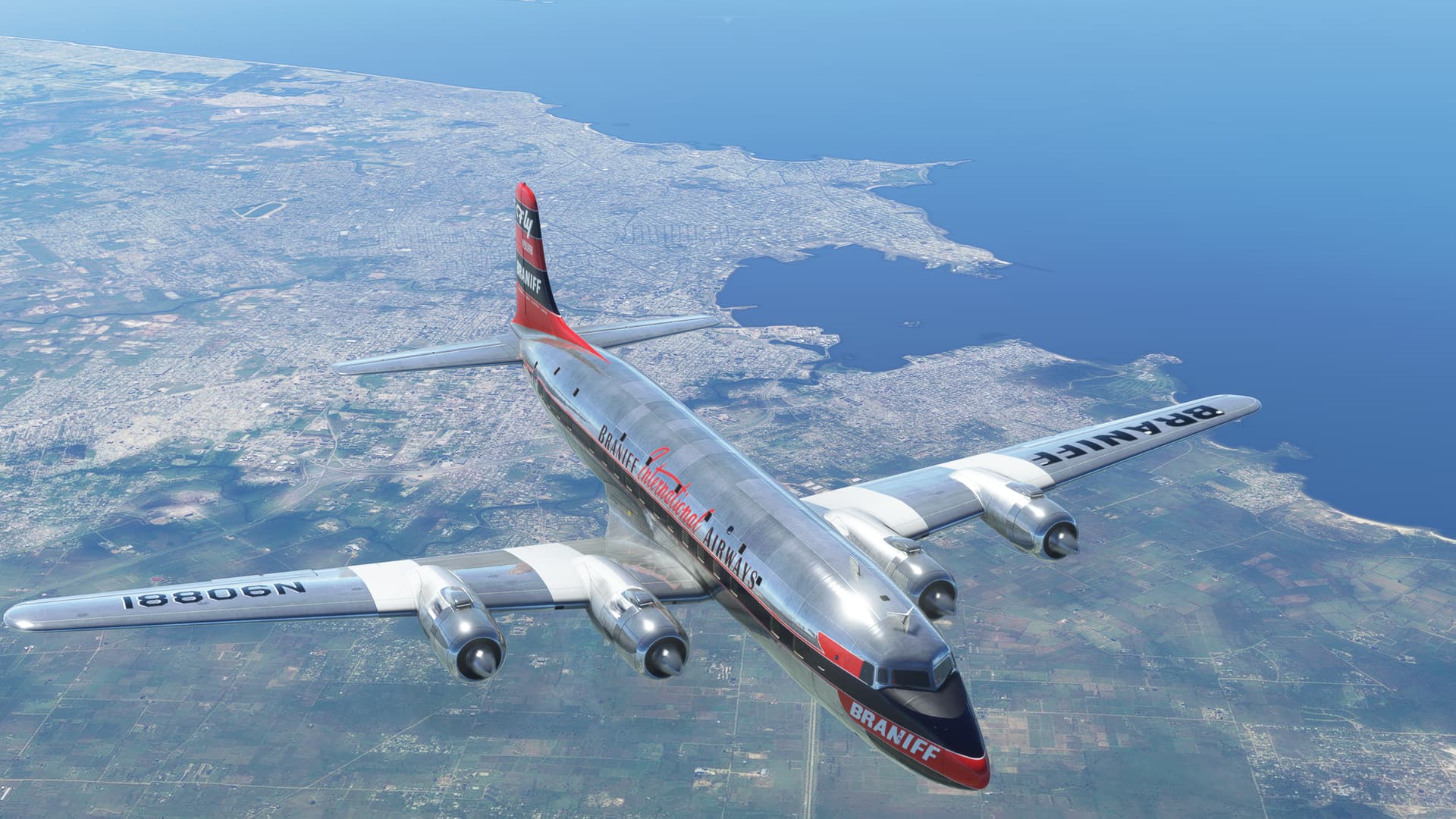
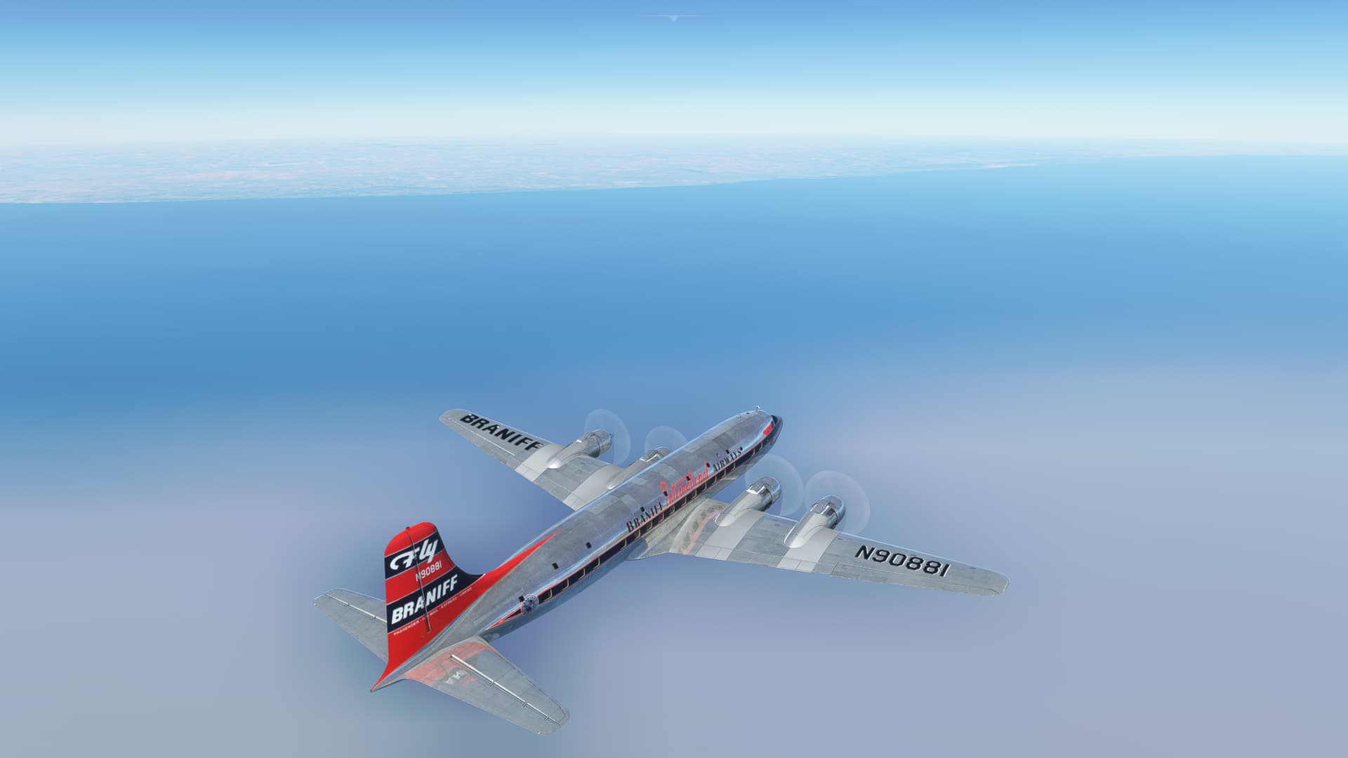
jamespejam. Braniff was a much more significant airline than I had ever realized, they ran several routes from the US to various points in SA…plus, great skin.
And the first thing I notice is that the weather is back!
Apparently, this particular bug primarily afflicts any leg after the first in MSFS. Backing out to the main screen seems to reset the count.
Who knew? 
I love the uneven runways in MSFS.
My first objective was to set up for a flyby of Christ the Redeemer because of my now well-established predilection for selfies. I level out at low altitude and turnout towards the mouth of Guanabara Bay.
Sugarloaf Mountain on the nose makes for a good aimpoint. Looks like the weather might cooperate too.
Another breathtaking morning in MSFS.
Looking to hook around Sugarloaf and line up for the Redeemer flypast.
A little more cloudy than I would have liked. But, as an old friend demonstrated, you gotta play the ball where it lies!
Looks like another 30 seconds would have put me in the clear. Well, one of the fun things about flying in MSFS is that you never know what you’re gonna’ get.
Since the weather along most of the route was forecast to be severe clear, I decided to set additional goals for myself this flight.
Due, largely to my generally laissez-faire view on flight planning in MSFS, I had been fairly ill-prepared to nav my way around SA. Up until now, I had mostly been relying on good radio reception and strong limiting terrain features (follow the coast, turn left at the mountains, don’t pass the river, etc), not to mention a butt load of gas, to gross nav my way to the destination VOR for a letdown.
This had worked thus far for me in MSFS, after a fashion, but it felt inelegant. And unreliable.
So, I thought this leg I would try to pay a little more attention to basic radio navigation and dead reckoning. I was getting more accustomed to the 6, so this would be a good exercise for me.
Plus, it would be a good backup in case I gooned this up! 
Overall, I wasn’t off to a great start. My first leg started with that tour of downtown Rio followed by a pure heading to my first checkpoint. Inexact at the least. Plus, I also hadn’t really accounted for a climbout at climb speed. The data I get at the first checkpoint will be pretty useless. But I’ll make up for it later…hopefully.
Still, I wasn’t going to exactly abandon gross nav entirely.
Marambaia Island off to the right. TLAR! 
My first (proper) checkpoint was to be the Florianopolis VOR (FLN) on the southern side of the Cabeca de Poco. As forecast, the cloud deck came to an end just in time to spot the head of Santa Catarina Island.
Looks like I’m going to be behind on leg time. But that was expected.
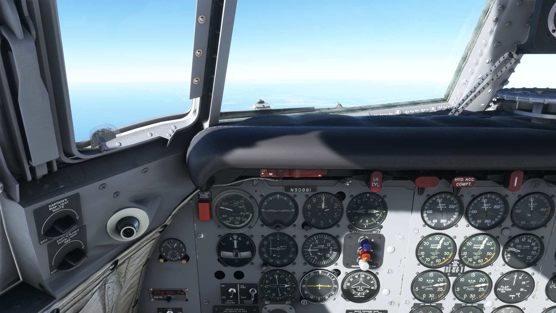
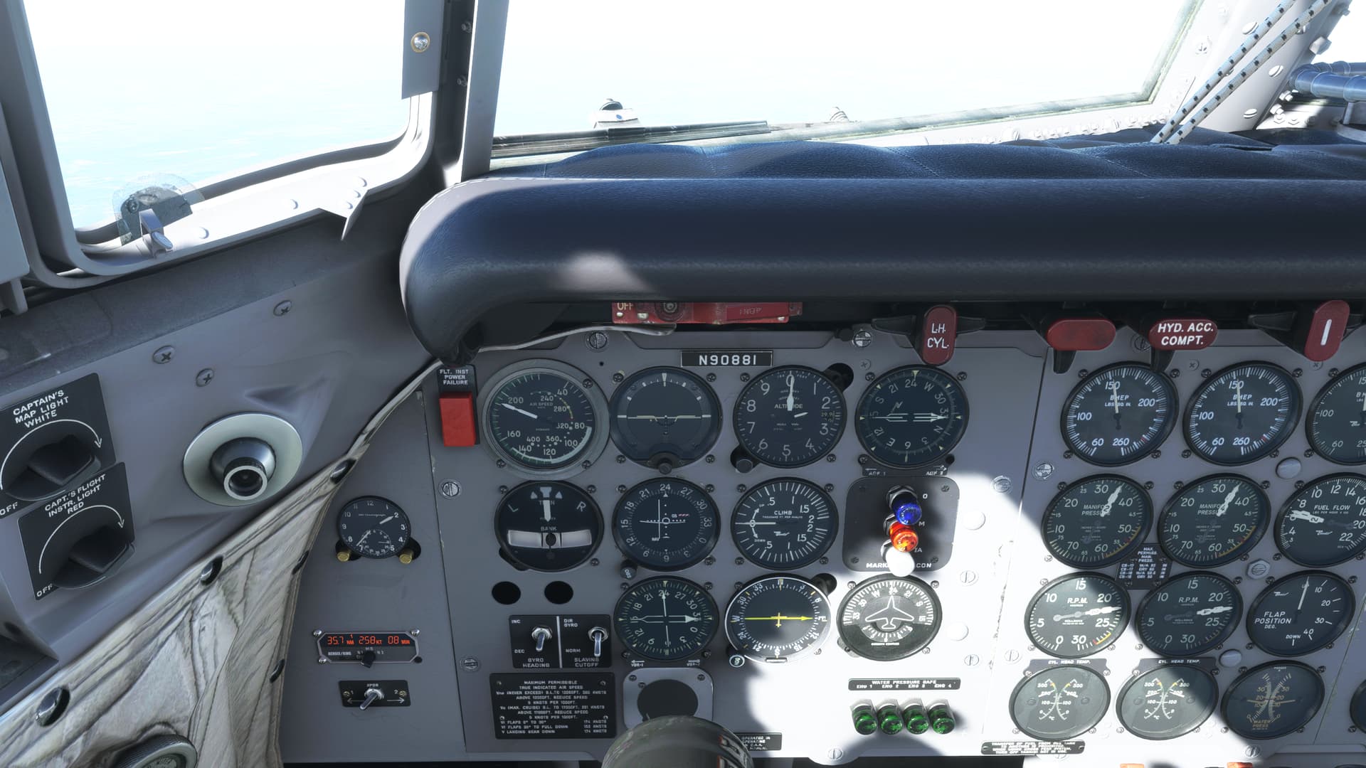
Low VOR here. The signal came in at about 35NM. The groundspeed function of the DME is reading 108kts. My SWAG, based on adding about 4 knots per thousand feet to the IAS, gives me an estimate of 260kts.
Either I have a big headwind, or that groundspeed calculator hasn’t had time for the squirrels to get good at math yet.
I pass over FLN about 10 minutes late.
Continuing on, my course takes me inland a bit. Luckily, I can still spot the coast which is good as I’m still only estimating airspeed. My course last leg seemed pretty spot on, which makes me think the winds aloft are pretty calm.
I pass by Laguna Imarui. Beautiful country.
Again about 35NM out, I pick up the Figueiras VOR (FIG) just southeast of the city of Porto Alegre on the River Guaiba.
I hit this one pretty much dead on nuts in azimuth, and it looks as though the squirrels have caught up. My DME screen reads 258kts. My estimate of 260 sounds close enough for government work, as they say.
So, no wind up here, I’m thinking.
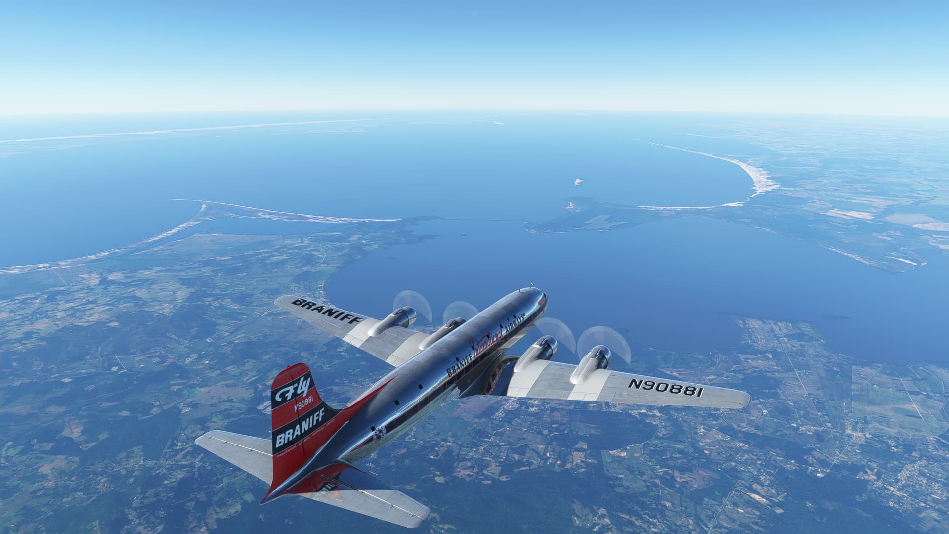
The mouth of the Guaipa which empties into the tremendous Lagoa dos Patos. Interestingly, most of the lagoon is absent from the VFR map. Curious. 
Now that my NAV seems like it’s pretty much squared away, for this trip at least, I eventually make my way to the sprawling mass of Montevideo.
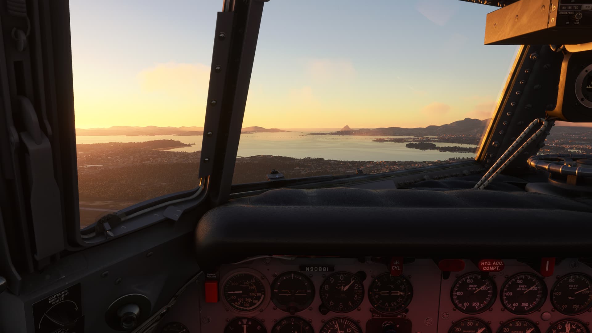
This time, I had a high VOR which gave me that warm fuzzy I’m more accustomed to. I turn west to fly up the Rio de la Plata.
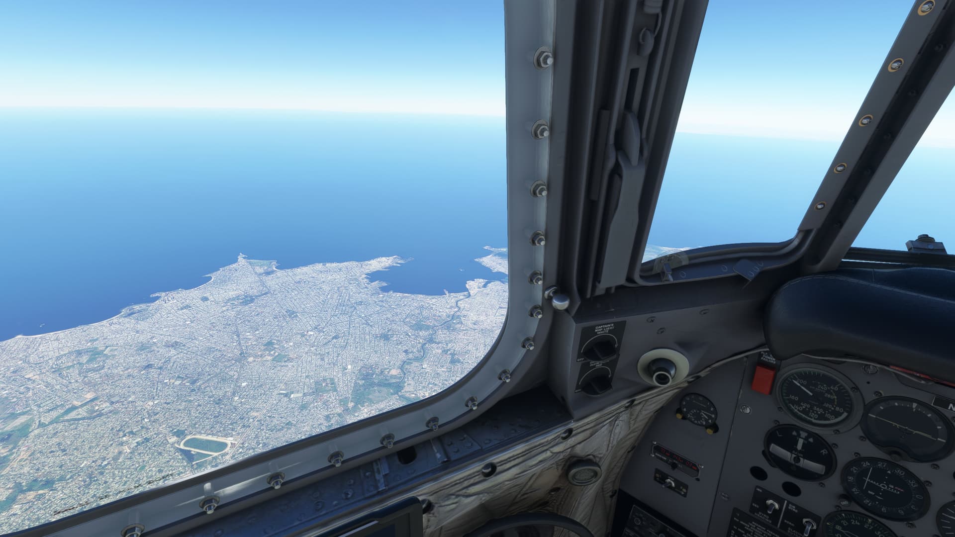
I started to notice the visibility dropping in high altitude haze. I had read about this as a new feature of MSFS, and that some consider it overdone. I guess it’s hard to say unless I can compare it to something. I recall many South Texas days in the Spring that were as bad, or worse. Interesting effect though.
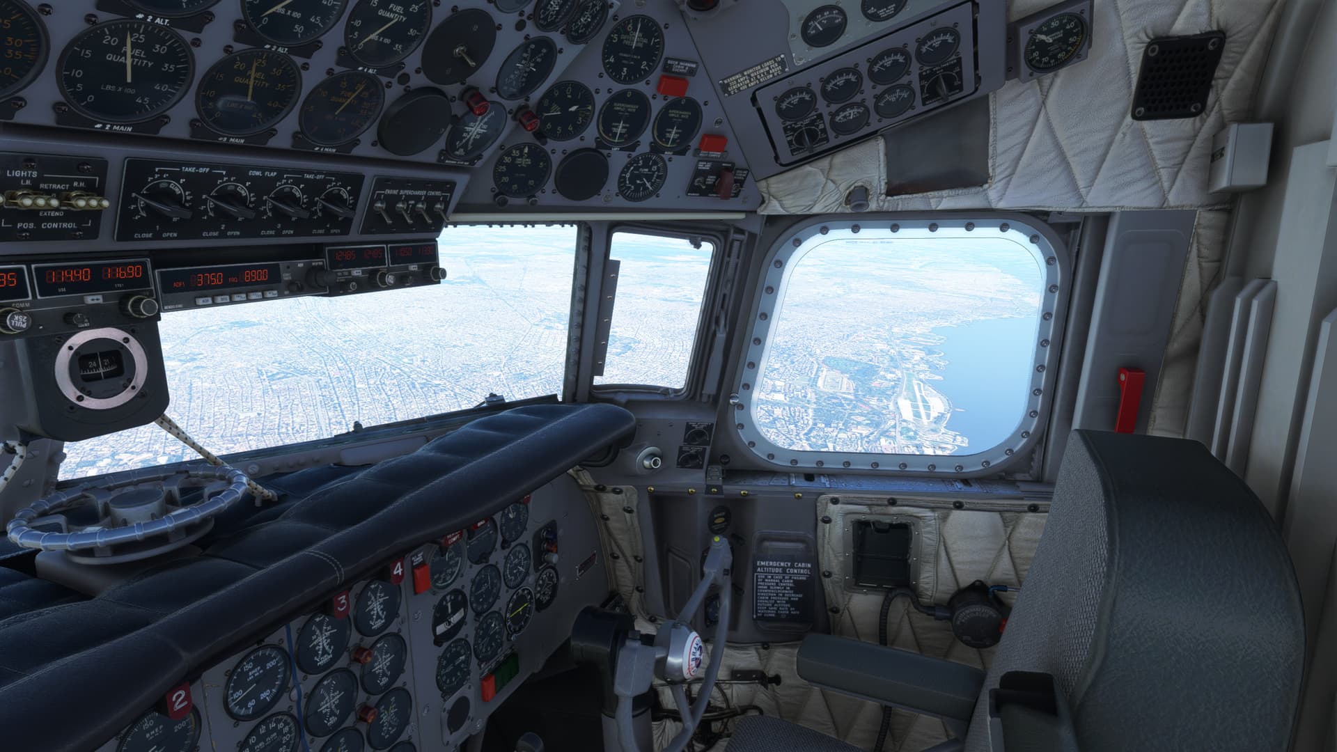
I tuned the San Fernando VOR (FDO) to give me final guidance into Buenos Aires, but I was riding the radial out from the Carrasco Montevide VOR (CRR) since it was the only one with DME.
I started down fairly late. No excuses. I didn’t have the destination VOR DME to help me, but I could have easily figured it from CRR.
Just got lazy…and high.
Mostly high.
Really quite high, were I to be honest.
Did I mention I was high?
Alright, time to fix this problem quick, fast, and in a hurry.
Idle hands may make for the Devil’s workshop.
But Idle throttles make for cruncher landings.
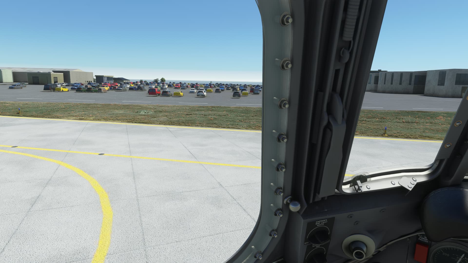
Passed by the hover car factory lot on the taxiway.
And once again into the ramp.
Well, I’d call that better than average. I managed to figure out a few things about the airways down here and I still have all the engines I took off with.
Anyone know of a good tattoo removal place in Buenos Aires?
I’m asking for a friend.
Nice! How is the weather in Africa? Exciting or easy? I have no idea when the monsoon season is…
its nice and easy weather all the way
…unfortunately the jungle was more of an concern… MIA, just crashed landed into the jungle.
there was an easy mission, cargo from airport to airport, yeah so I just selected medic drop somewhere into jungle instead. for a short while thought that the bushes on that road are not that much collidable, they were 
last preserved pic of our crew from Ivory Coast  …
…
…seems like somebody have to run SAR mission into jungles of Liberia 
I also decided to go for some exploration before making the final jump. Doing that I learned something about South America, e.g. my last destination Punta Arenas was not located in Argentina but in Chile 
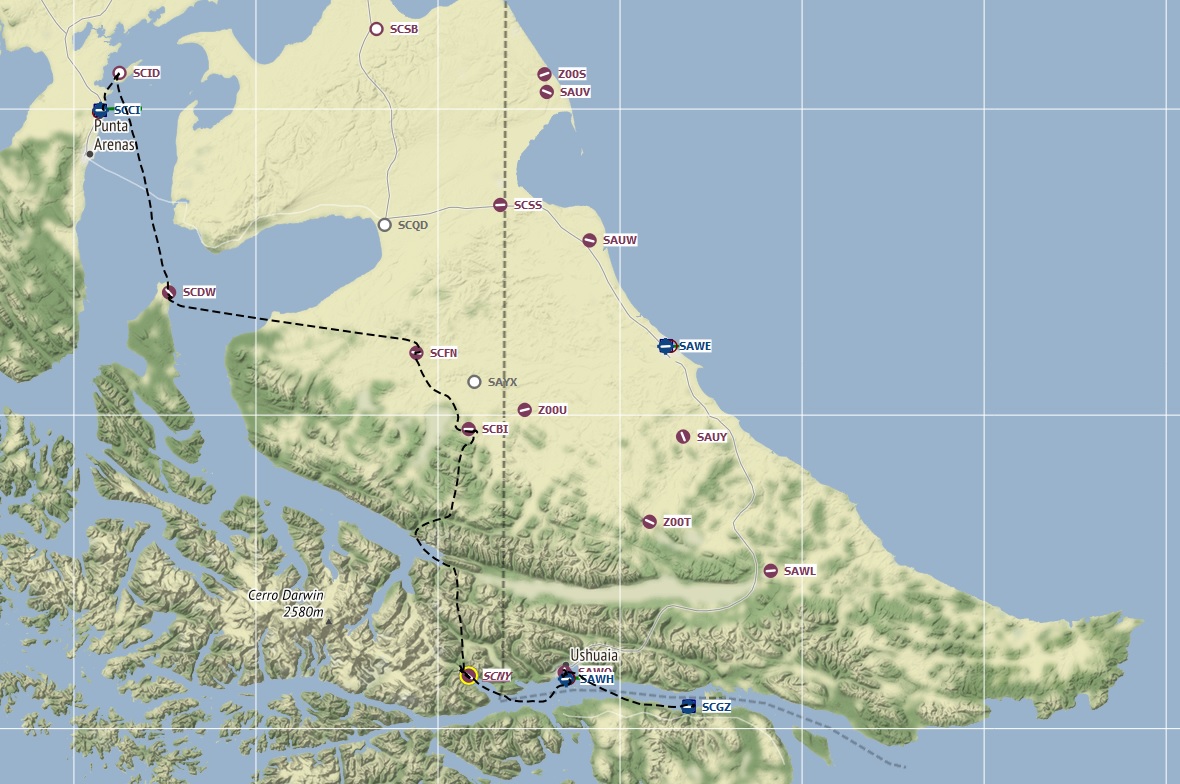
The plan was to take the JustFlight’s Arrow and fly slowly down to Ushuaia stopping on some small airfields on the way.
Let’s go!
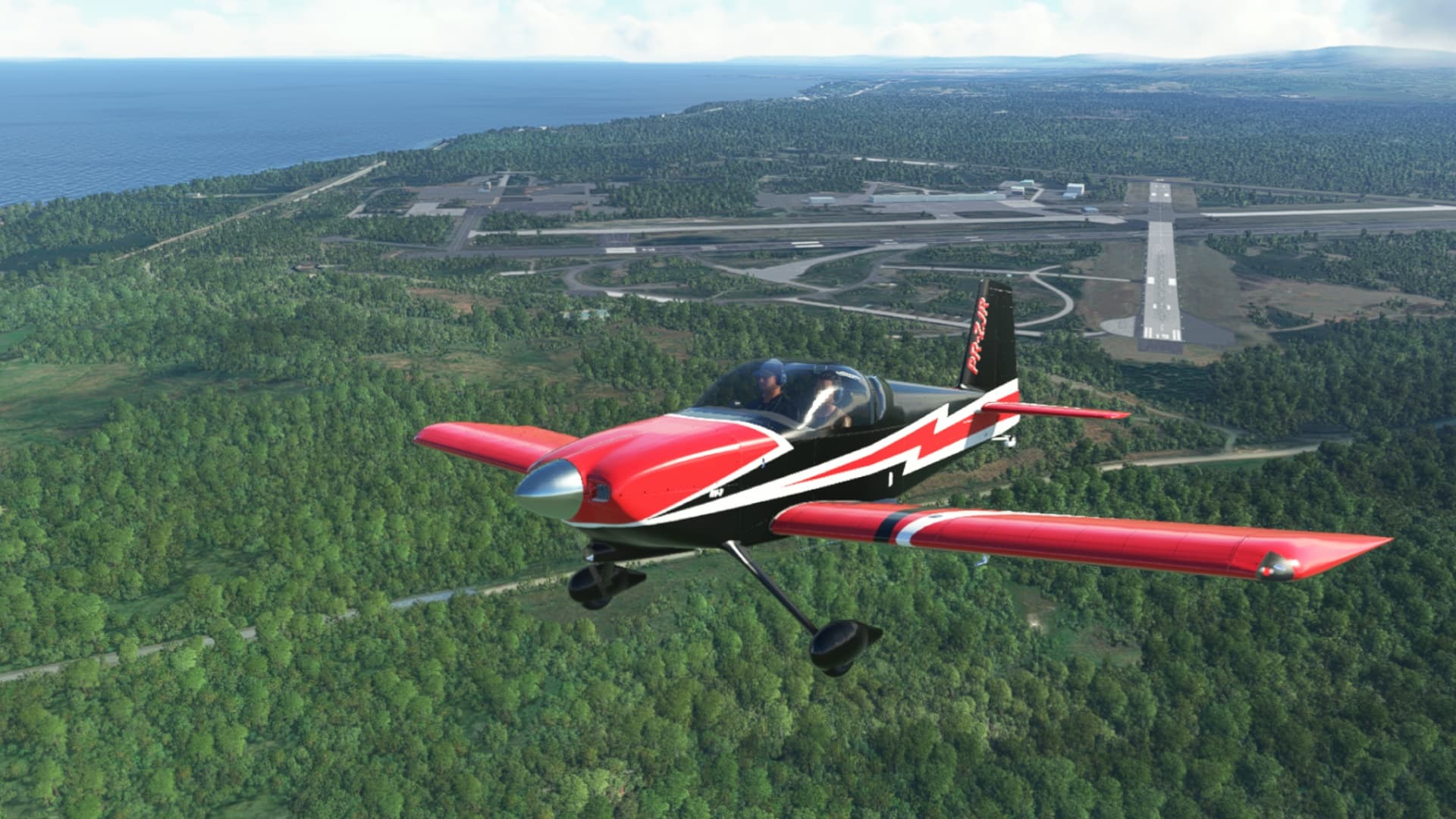
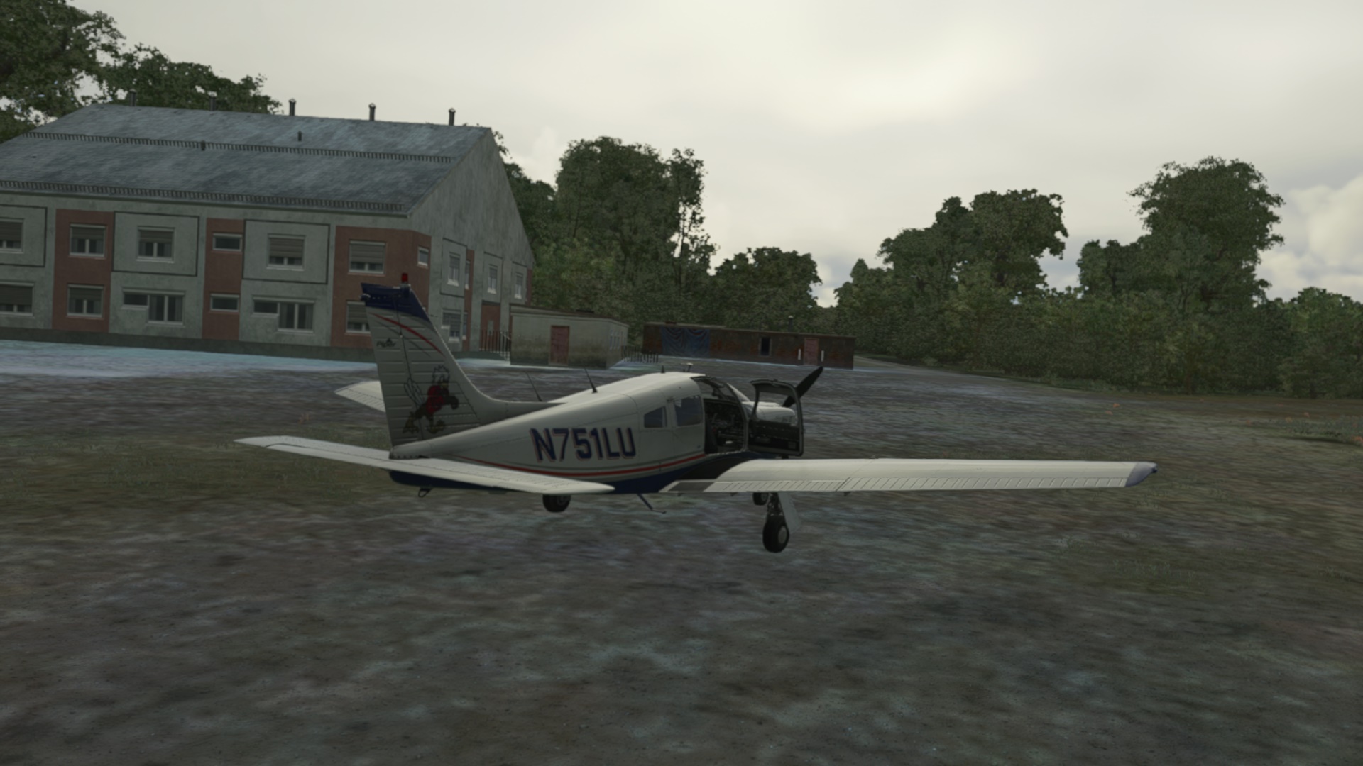
And the first change of plans - on flightsim.to I discovered a free RV-7. Model looked nice and it sported a G1000. Quick click, download and few minutes later it was already on the apron in Punta Arenas.
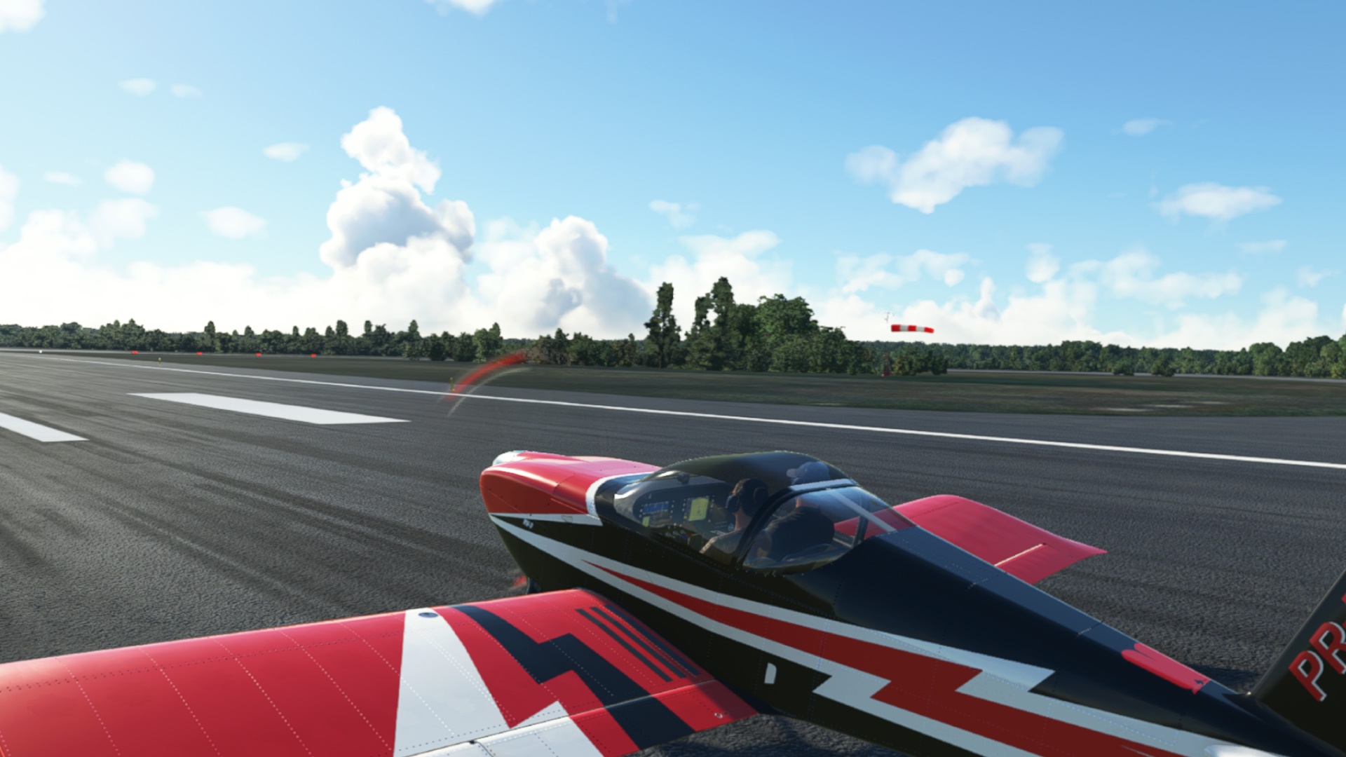
My new friend. Not the guy in front, mind you.
With this wind I should be in the air in no time! (I was)
Leaving Punta Arenas towards my first intermediary stop.
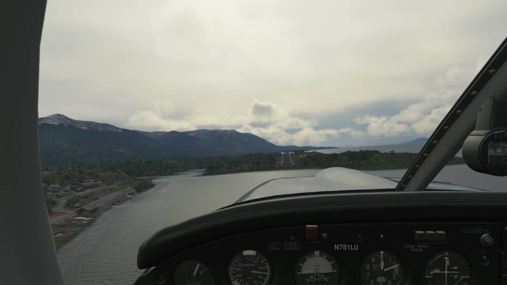
The first landing challenge - Marco Davison Airport (SCID).
A windy landing…
Quick Buenos dias and Hasta la proxima and off we go.
The second stop over - Almirante Schroeders (SCDW)
Ant the third one - Russfin Airport (SCFN). It occured to me that they know their stuff since the runways were usually along the (pretty strong) winds. Good. No harm caused yet. Although this one was tricky (so no short finals shots).
On my way to the next stop over checking some local natural prettiness…
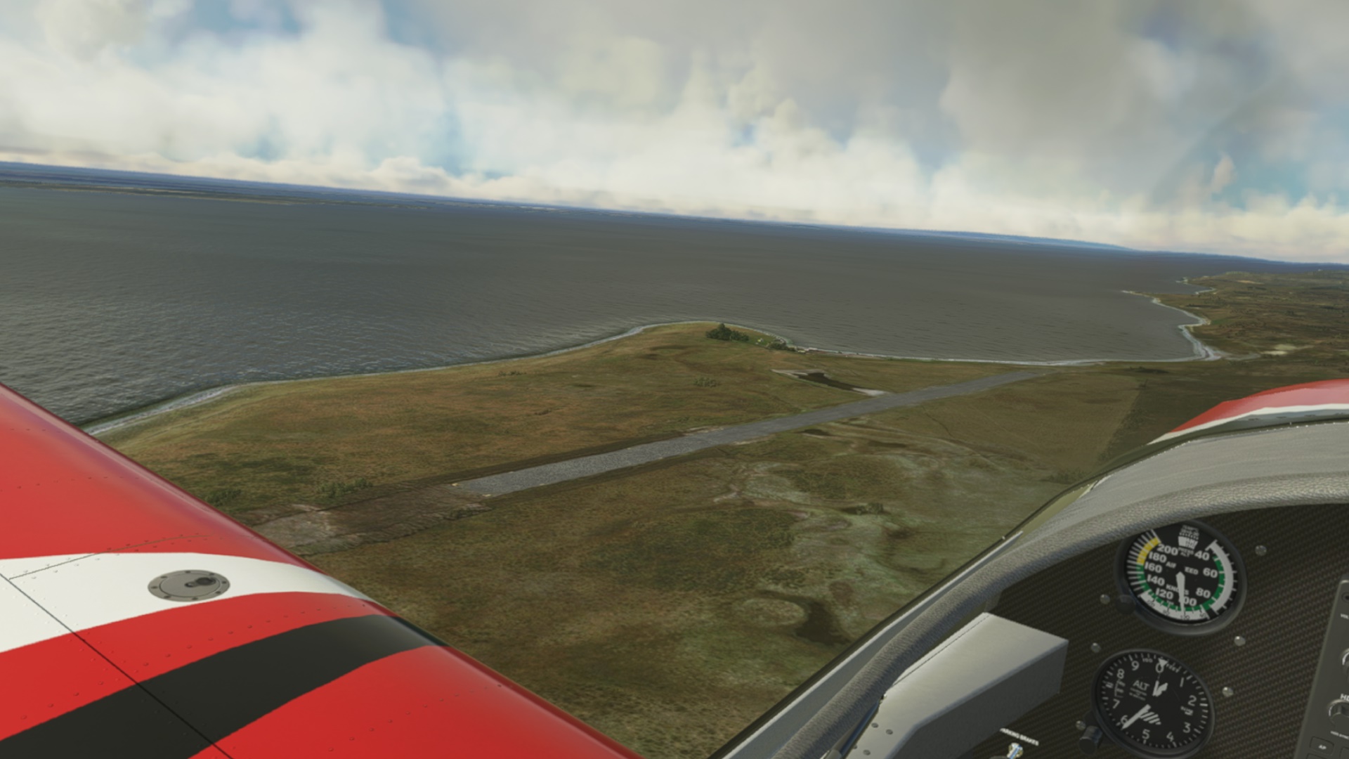
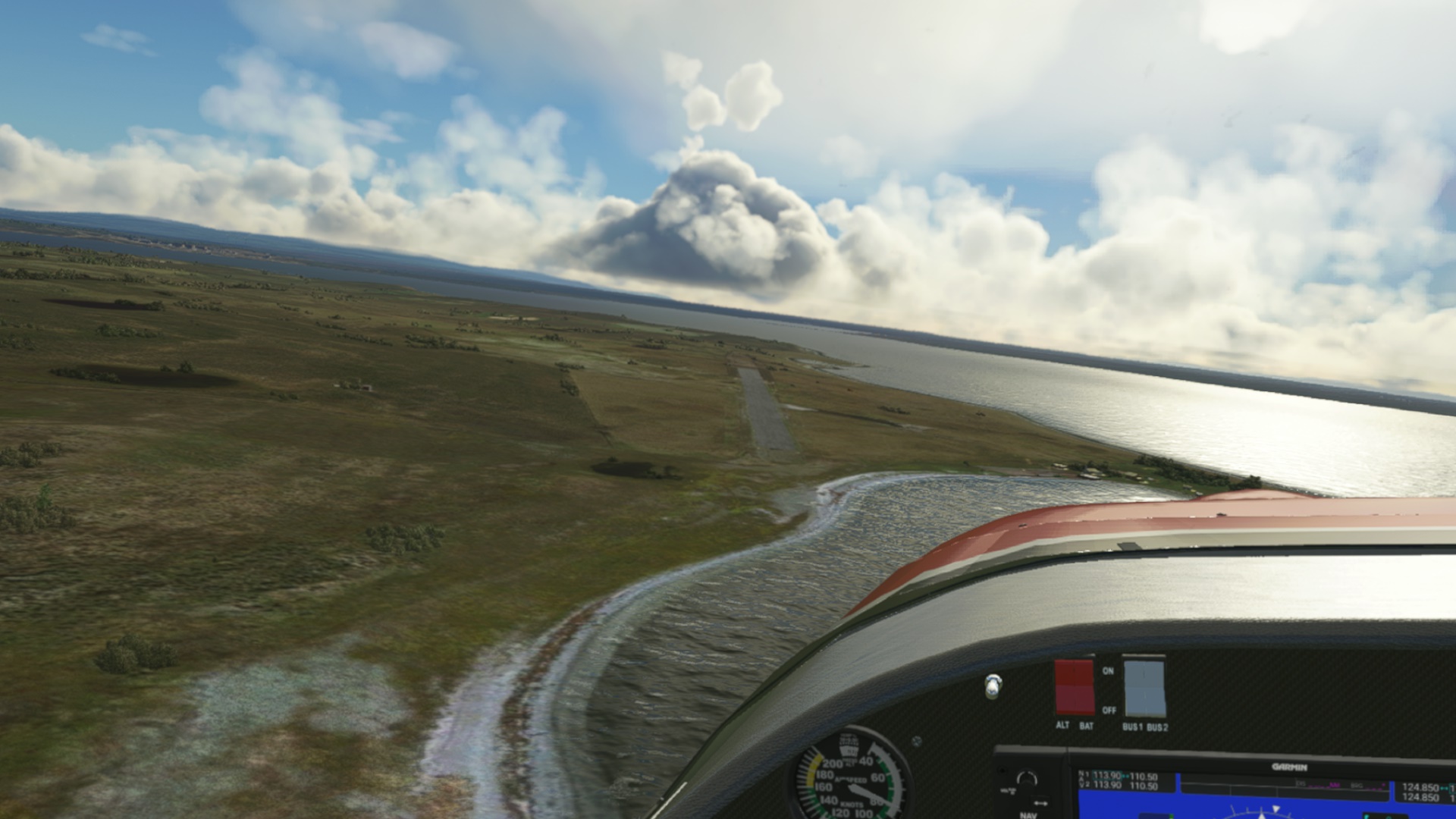
…and unidentified and uncharted landing strip.
Pampa Guanaco Airport (SCBI).
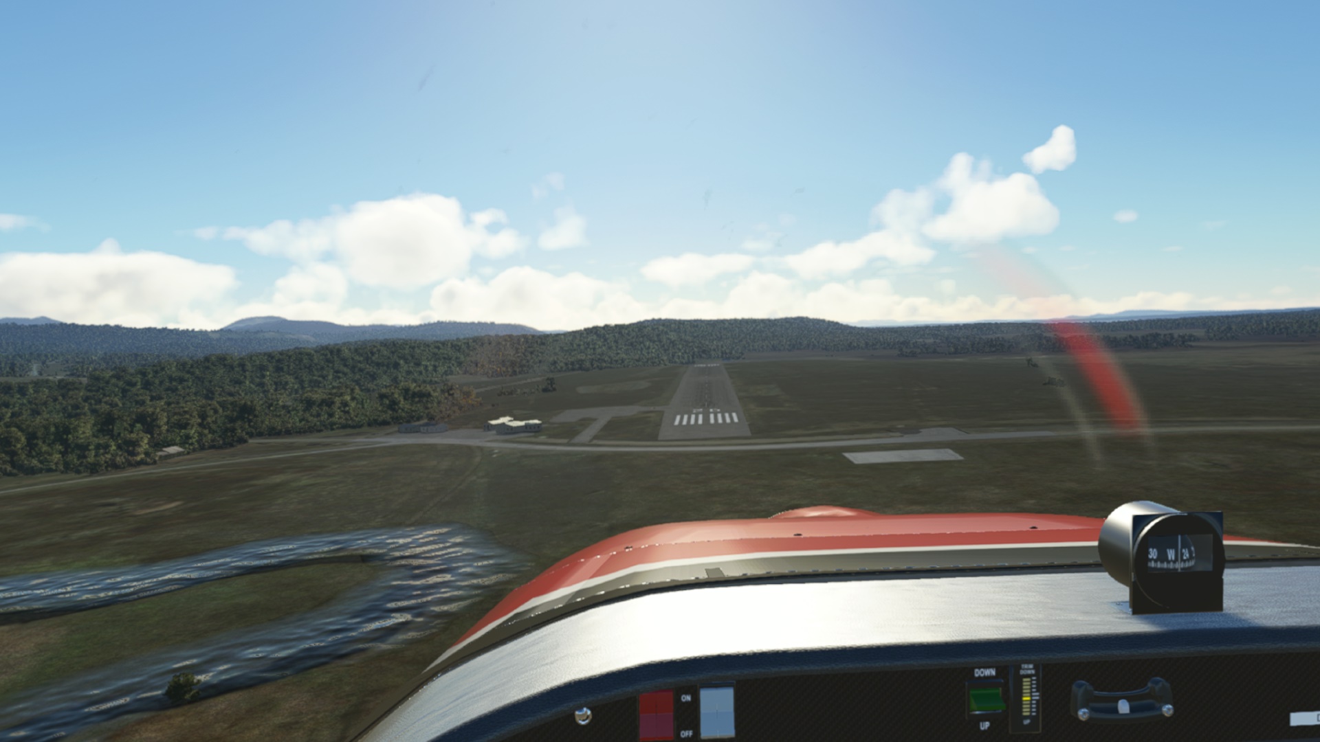
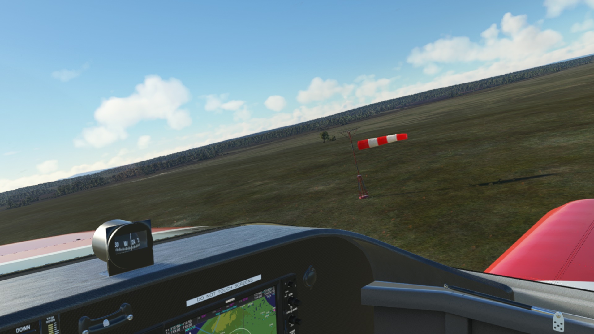
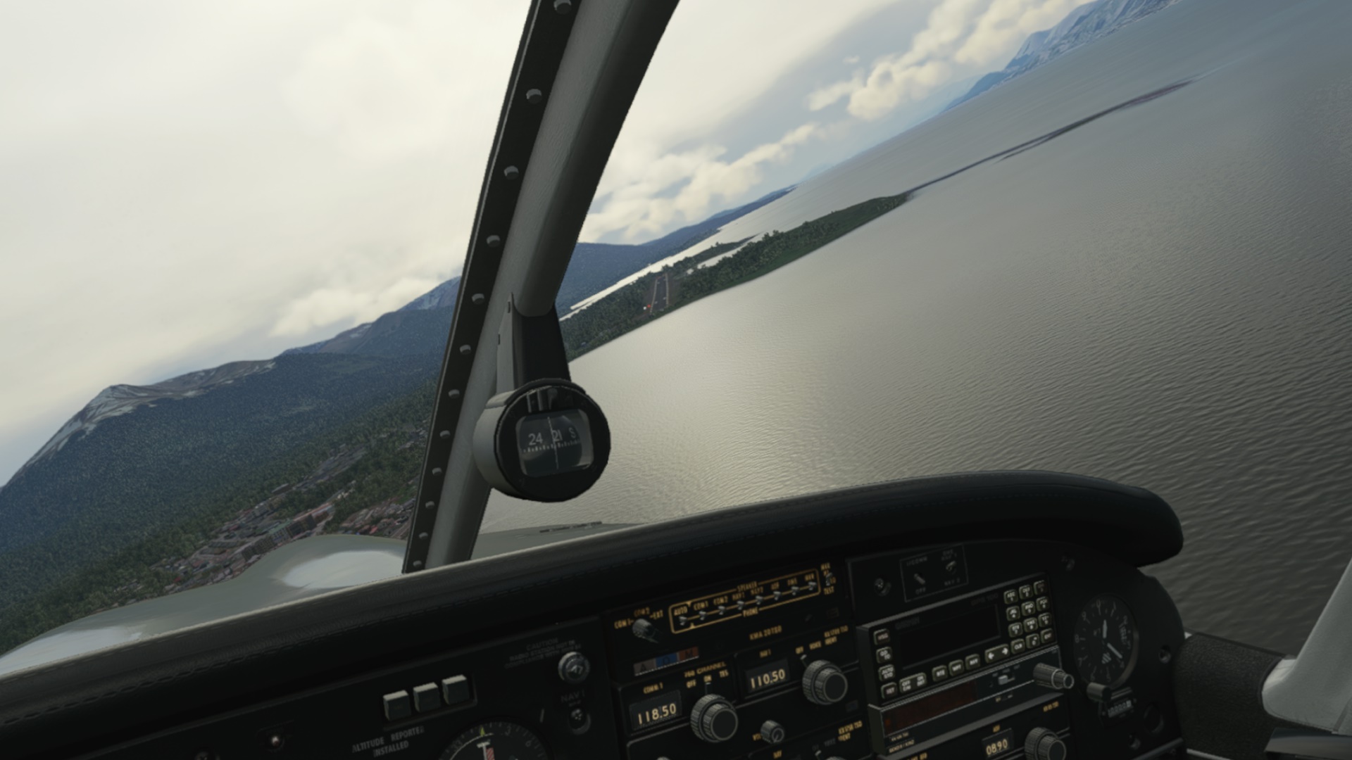
…which I swiftly departed turning South. I already got used to seeing the windsock like this.
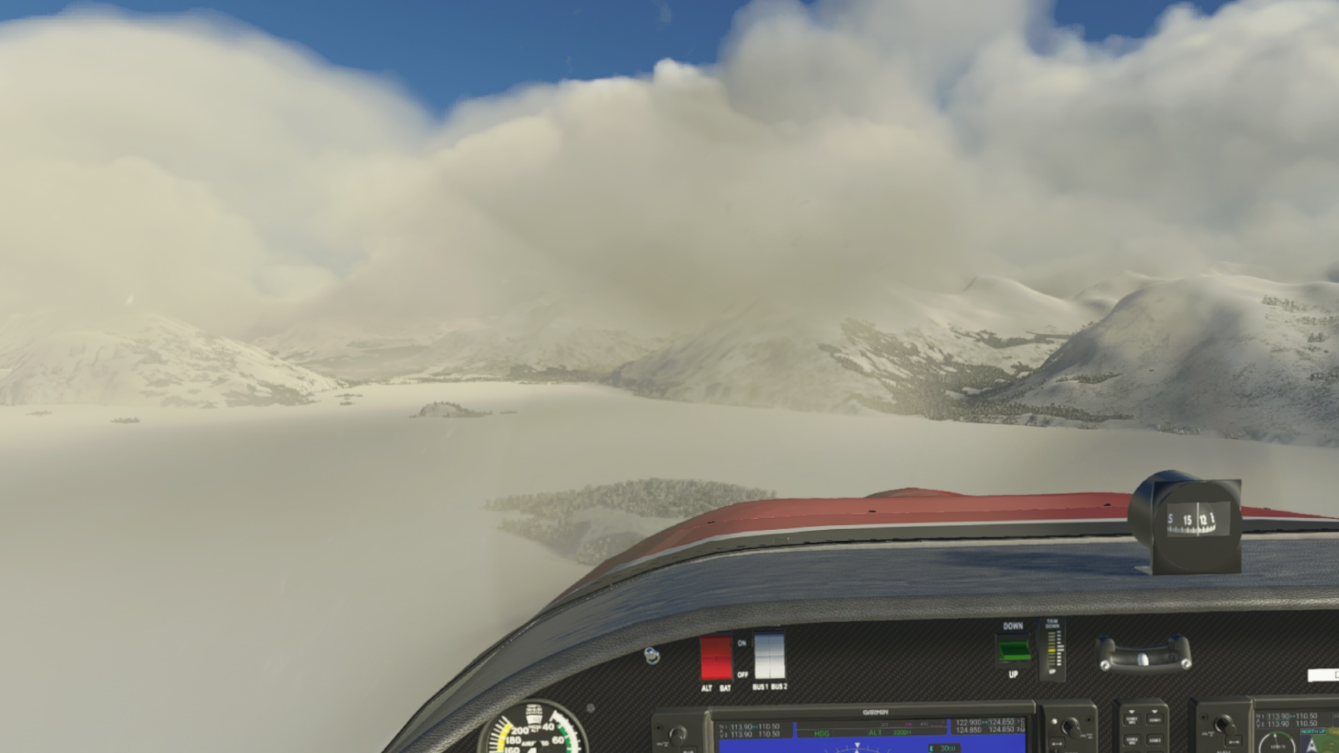
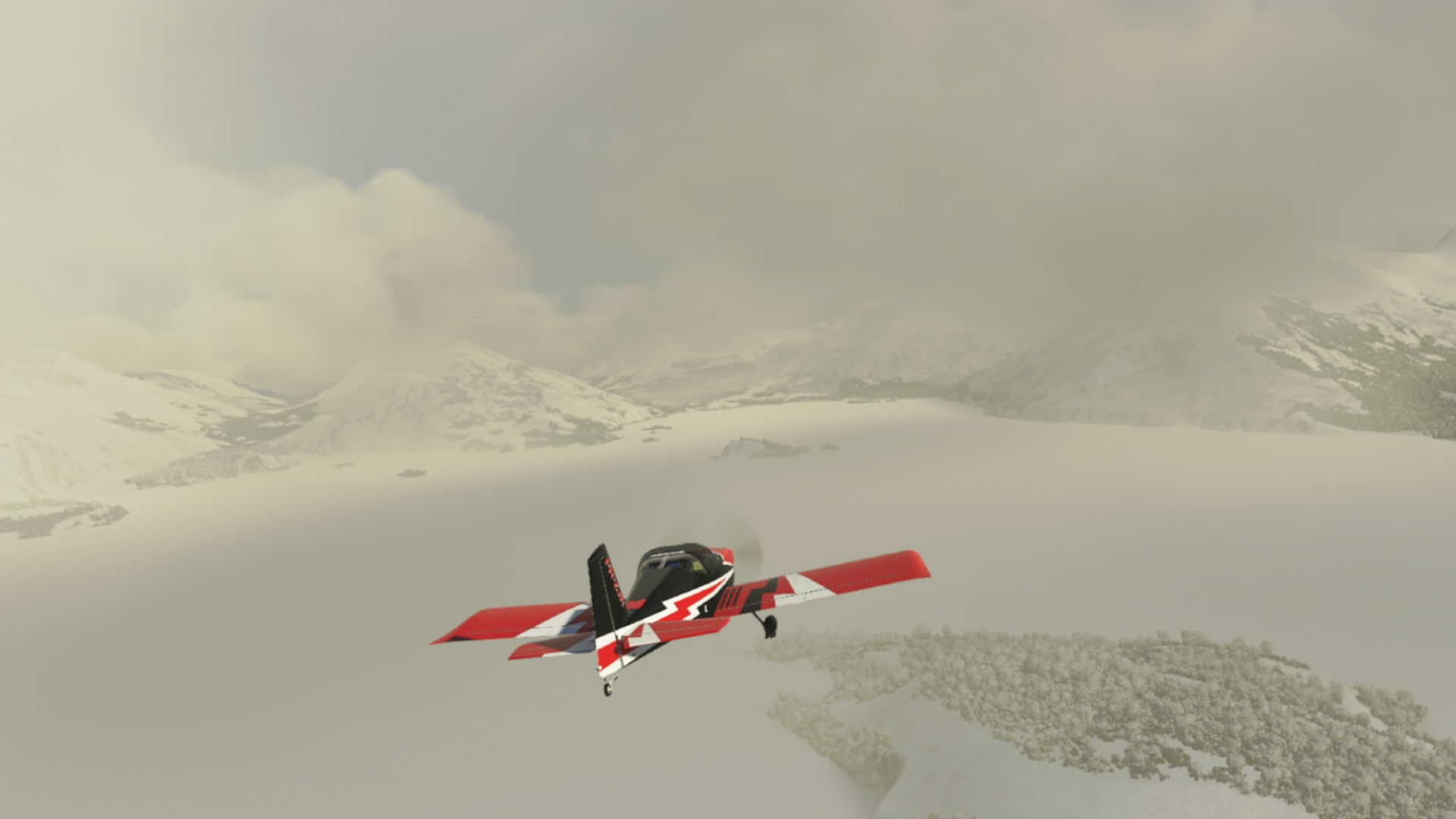
It is spring down there but, according to some sources on internet, with occasional snow. There we go.
Trying to locate the next field…
…probably here. Why just not to push on instead?
The next one will probably look all the same…
…and it does. Yenegaia (SCNY).
I am also testing the FSRealistic Core. I will buy it once the week-long trial reaches its end. Here, after yet another windy and hairy landing I could hear “I thought you could do better”. Haha! Funnily enough, I was alone in the plane (CoPilot weight = 0).
Though honestly… still quite good in this crosswind.
(to be continued…)
Thanks! That was a very fun report. I’ve been getting too destination focused recently and something like this inspires me to go wandering a bit!
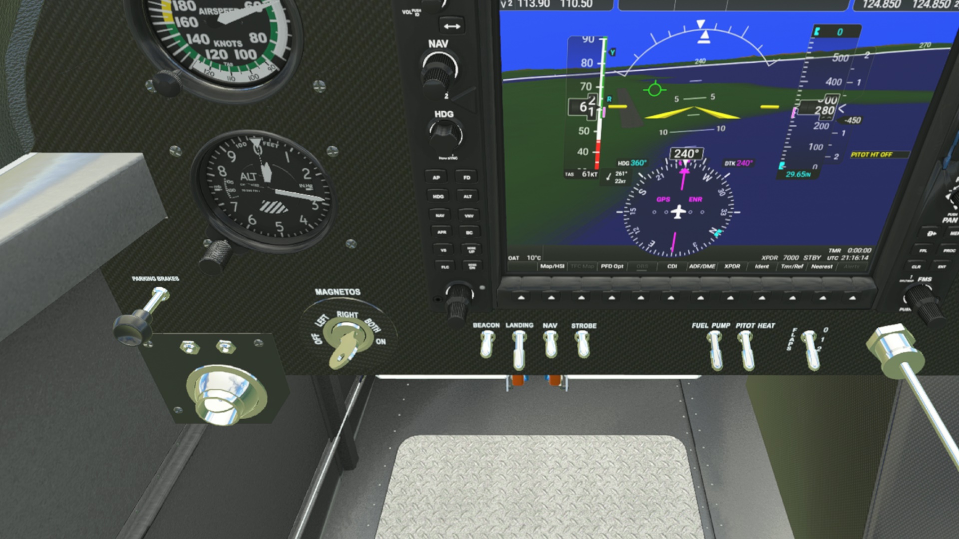
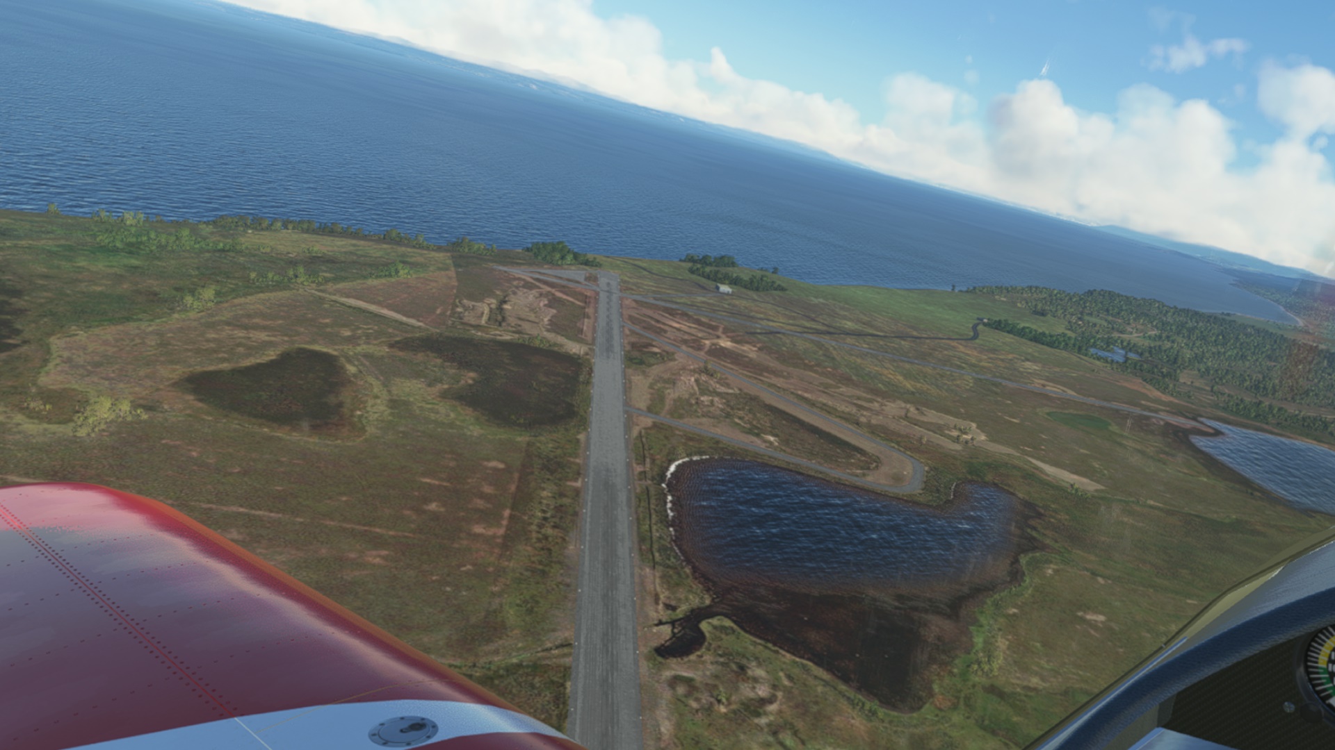
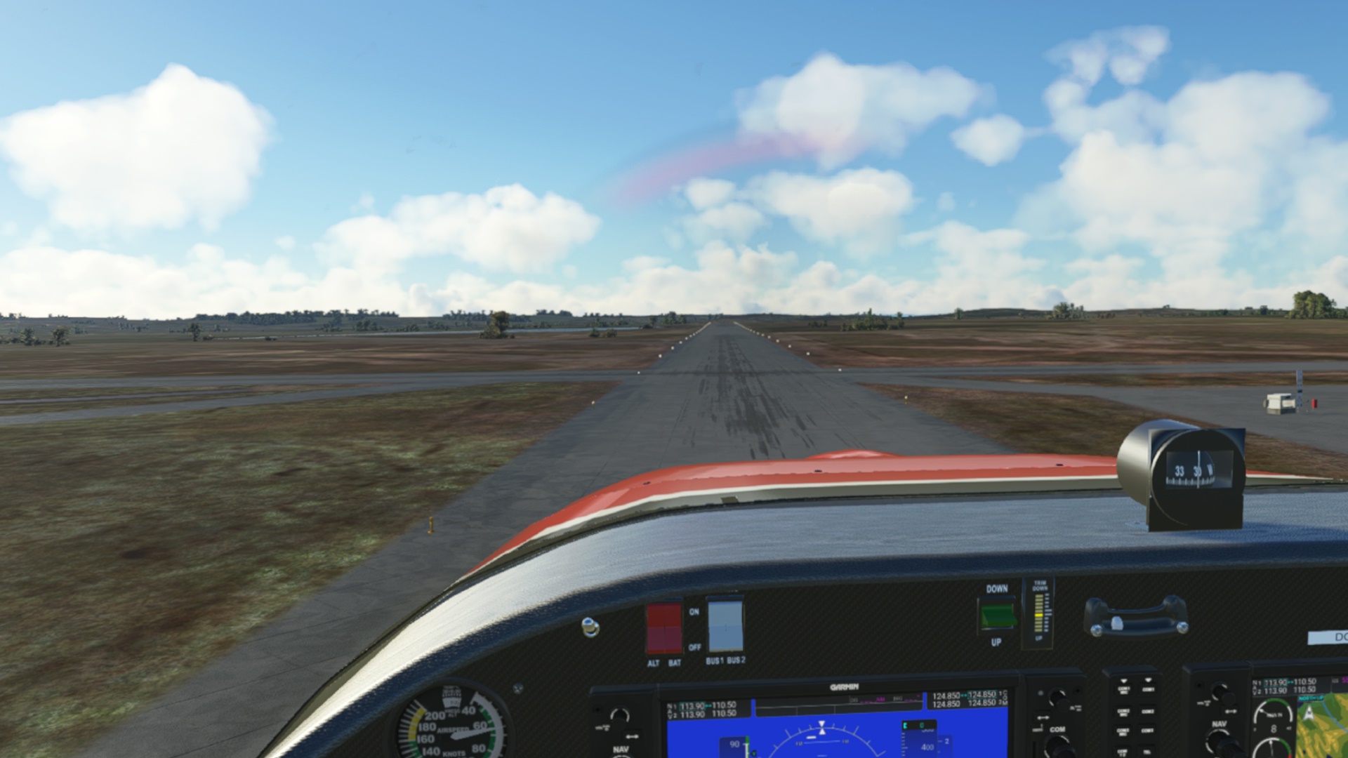
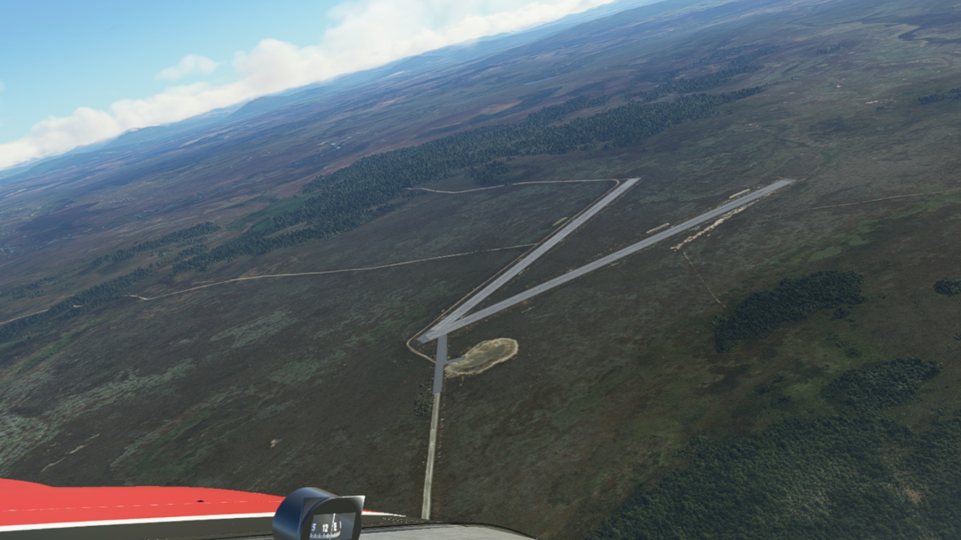
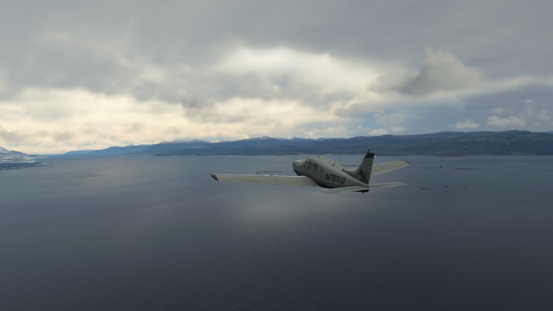
Another day, another aircraft, another weather (a bit less windy).
I have neglected the JustFlight’s Arrow for some time and as soon as I popped-in in the cockpit I knew why I liked it so much. It just is an excellent rendition of a classic airframe.
(maybe someone more knowledgeable could explain why is it referred to as a Spamcan?)
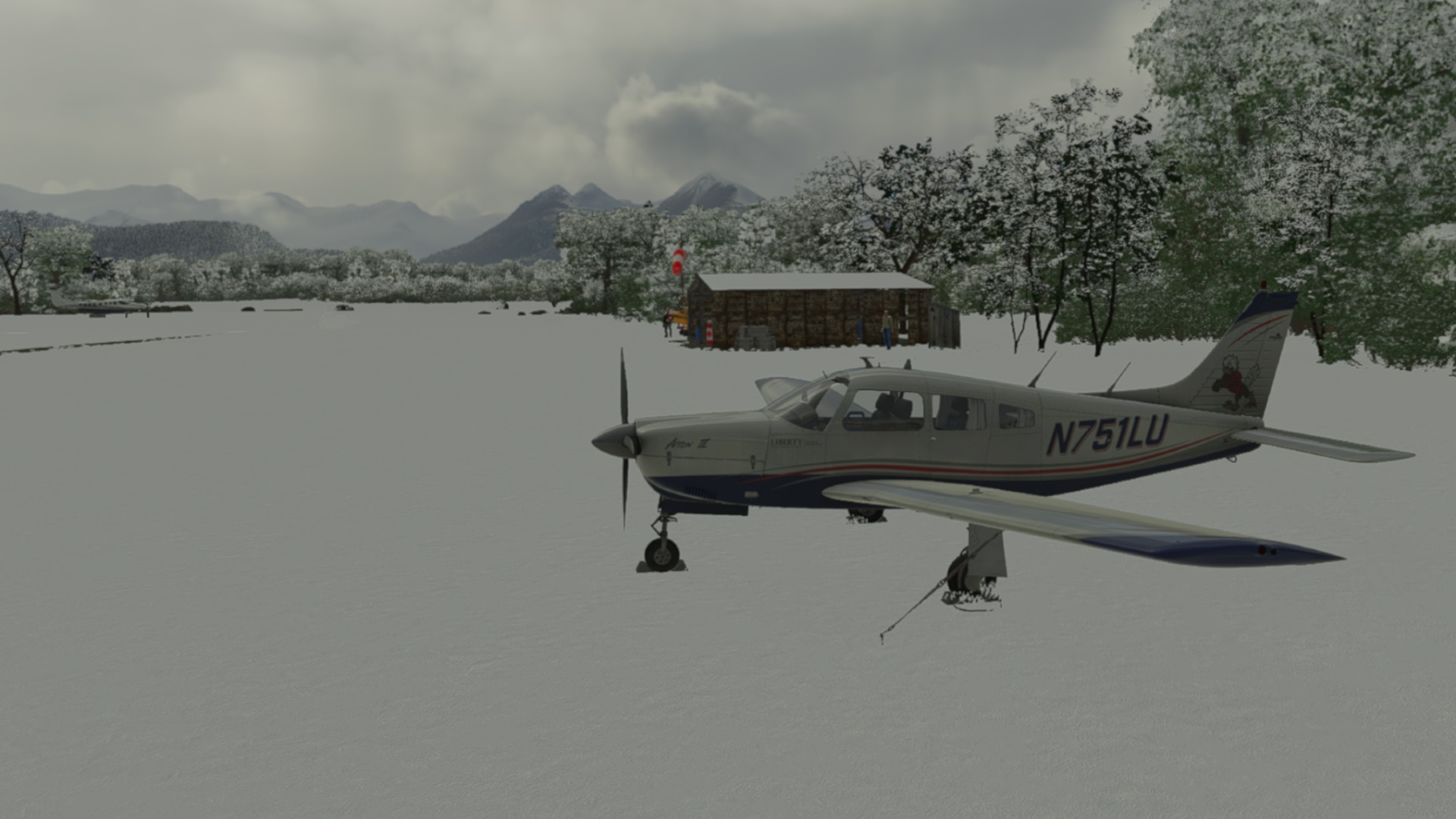
Skis would have been more appropriate but the Arrow got off the snowy runway nonetheless.
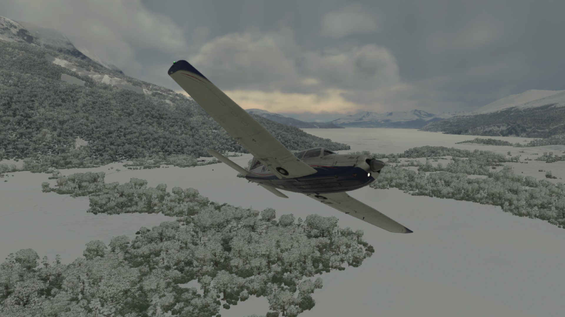
I was thinking about the snow around. I have to give MS/Asobo some credit for going an extra mile and implementing a dynamic system in which you can take off from a green grass runway, then fly into a snow covered area and land on a runway covered by snow. FSX/P3D followed either / or logic. However, even though this new system has some limitations, I actually like it.
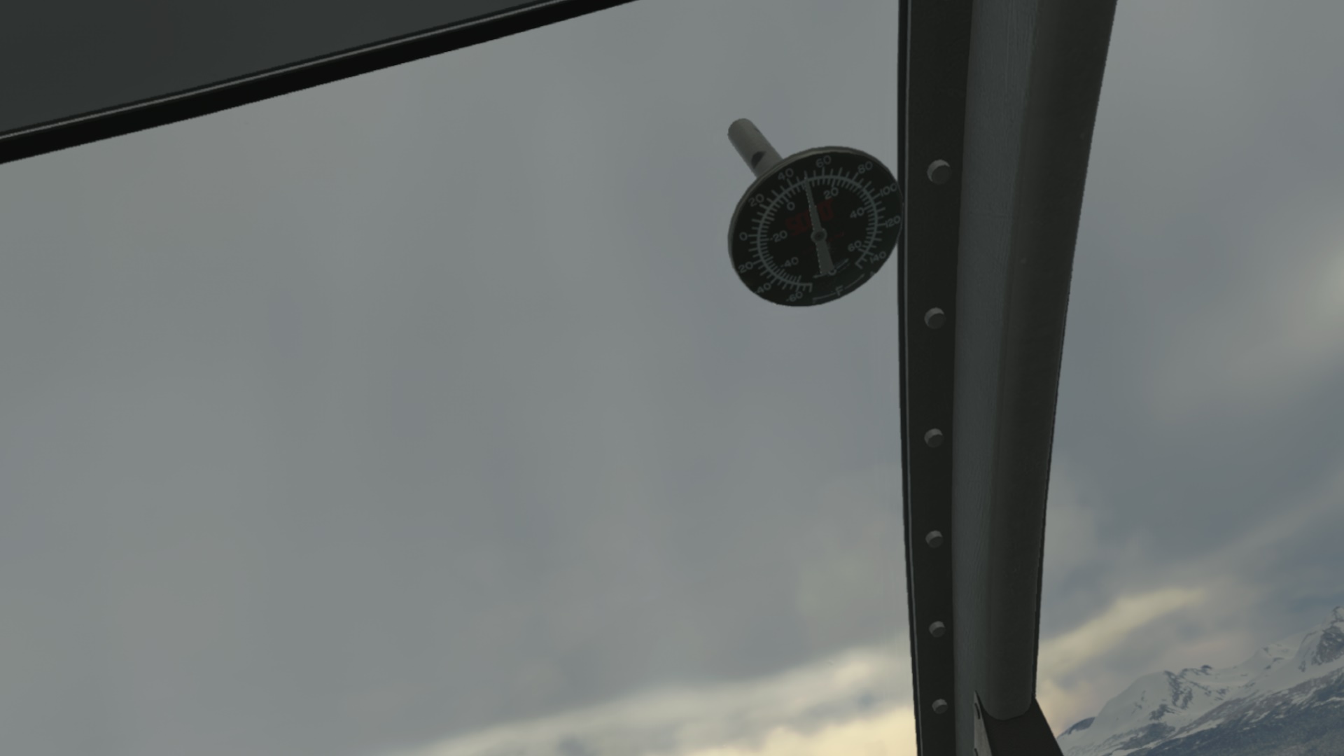
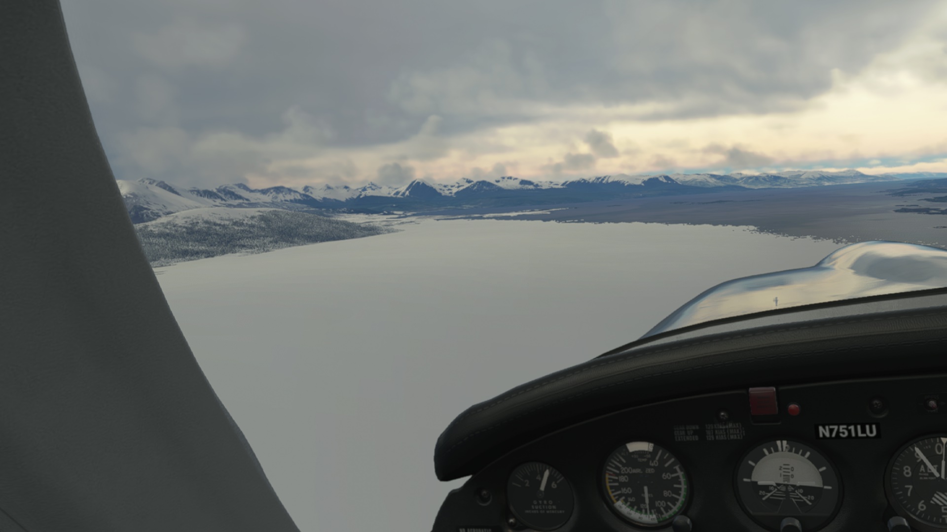
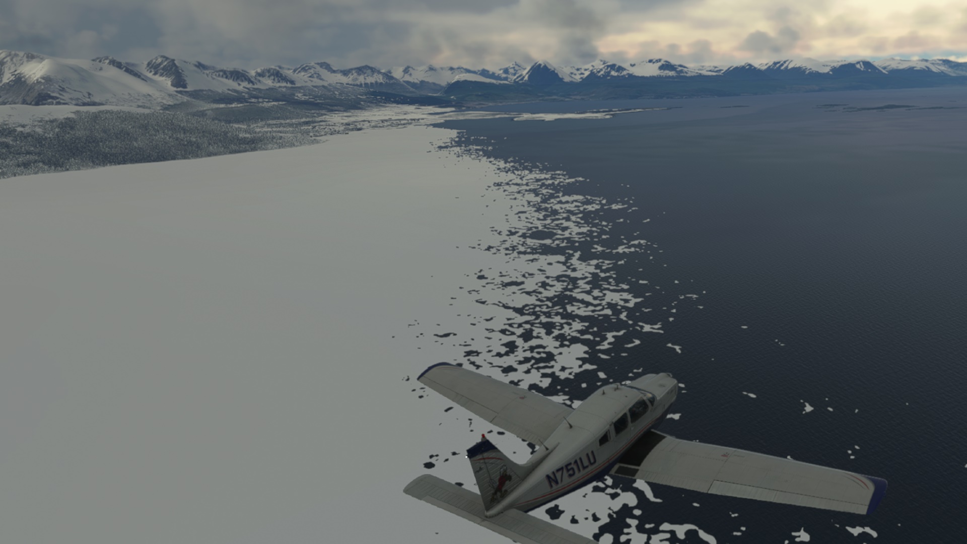
Here I was reflecting about the snow and ice in relation to the ambient temperature of some +10C
I probably would not go out skating on the frozen sea below me
As I pointed out a few lines above - the system is dynamic. Just when I was staring at the division line between ice and water, it jumped some 50m or so to the East. Interesting.
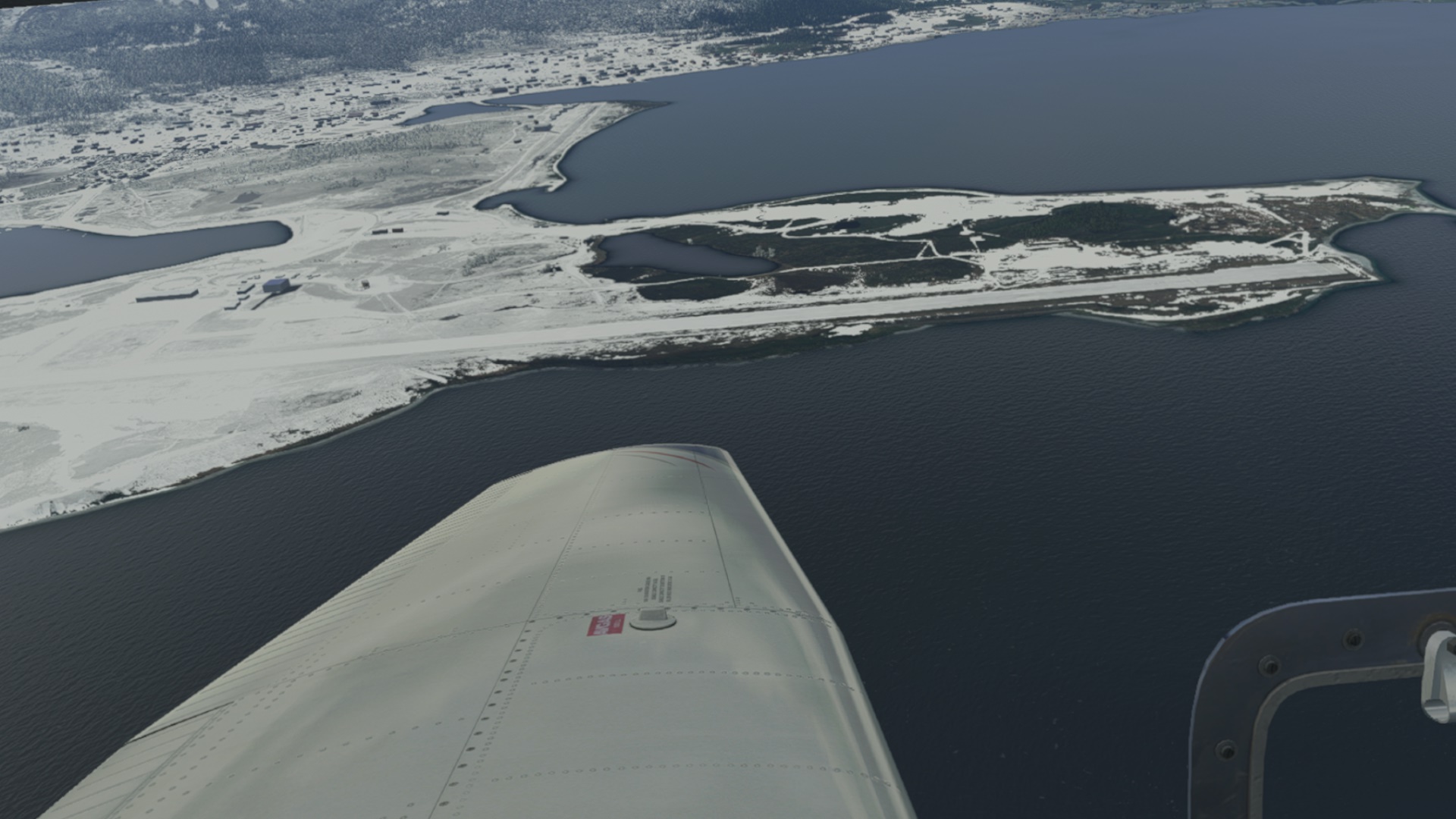
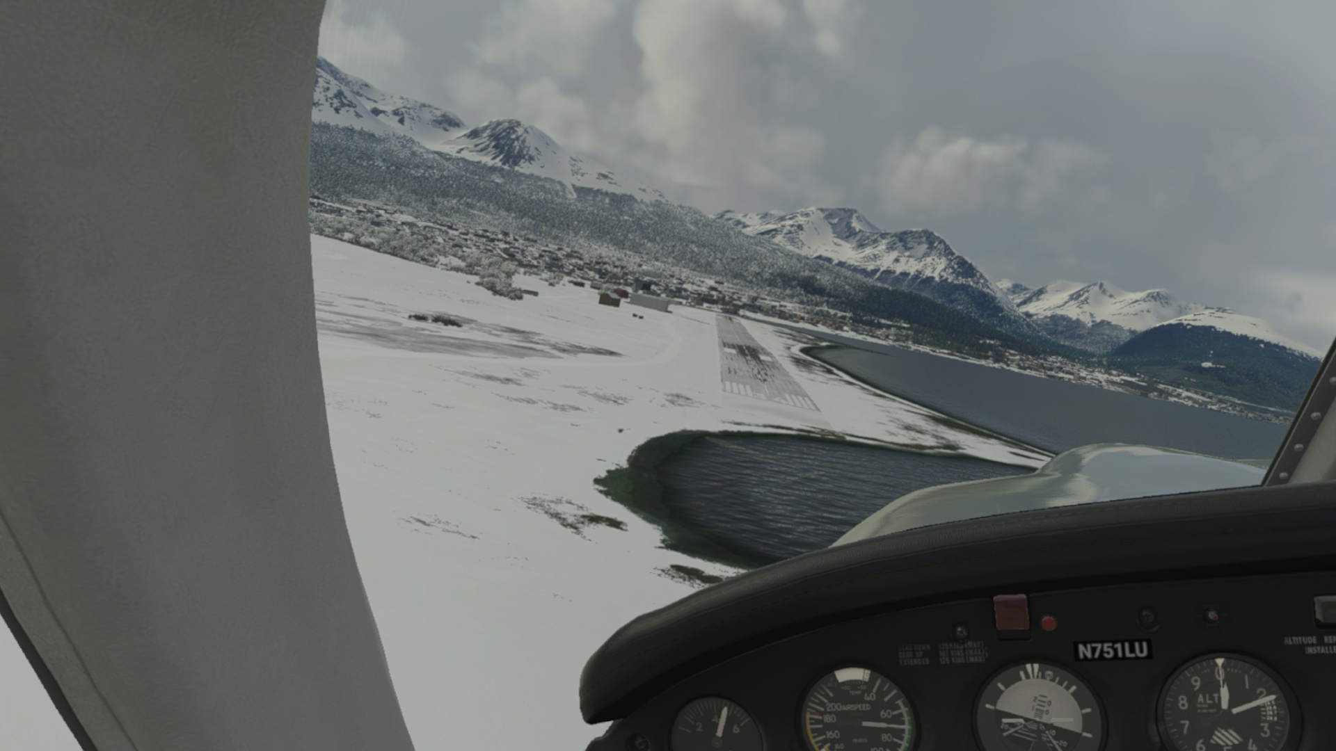
And if you happen to fly over a runway which goes right across this division line, you will see another interesting thing - while both thresholds are sitting in their respective meteorological conditions, the runway has only one condition; in my case it was covered by snow.
Btw. this is Ushuaia (SAWO).
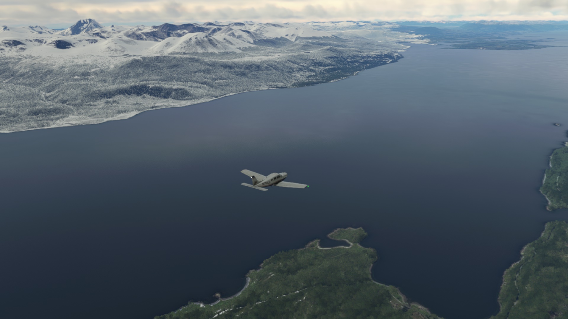
Here I changed my plans again since I did not really feel like leaving the Archer. So I headed due East towards the final destination of today.
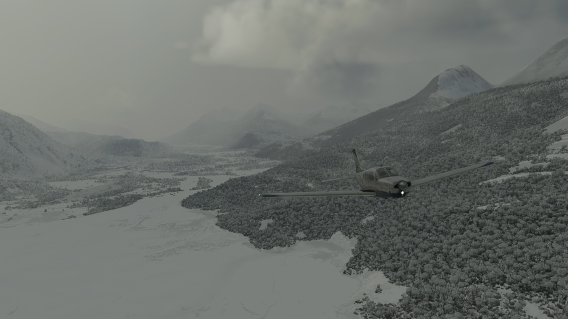
Another interesting phenomenon - snow on one shore, green grass on the other. This is perhaps a result of two different reporting systems since we are looking at Argentina to the North and at Chile to the South?
Guardiamarina Zanartu (SCGZ).
And this is what I have flown. Pure pleasure and fun
Now I need to think about the last leg to the final destination of this Christmas flight, and in particular: which airplane? I might come back to the CJ4. At some 400nm it should be a nice not-too-long trip. I just need to make sure I won’t forget about this bloody climb power setting…
EDIT: Still a few words about the FSRealistic - it reminds me a lot about the A2A Accu-Feel thingy. Pitty they never updated it for the 64bit P3D. The FS Realistic is nice. It adds a ton of sounds and some other features (?) to the sim. I still need to tweak some of them, mainly the volume but I can tell you one thing: the squeak of the tires kissing the tarmac and the related momentary shiver of the airframe is SPOT ON. Exactly how I recall it from my (usually somewhat non-perfect) landings IRL. It just felt so natural I have almost forgotten I was in the sim in VR  Heck, I go and buy it now!
Cordoba (SACO) to Mendoza (SAME), both in Argentina.
Just a short hop this evening. I figured that while I was in the area, I should drop in on another airport I flew into a number of years ago when I was flying the Challenger. Mendoza takes me back towards the Andes which is far more interesting to look at than the flat land to the east.
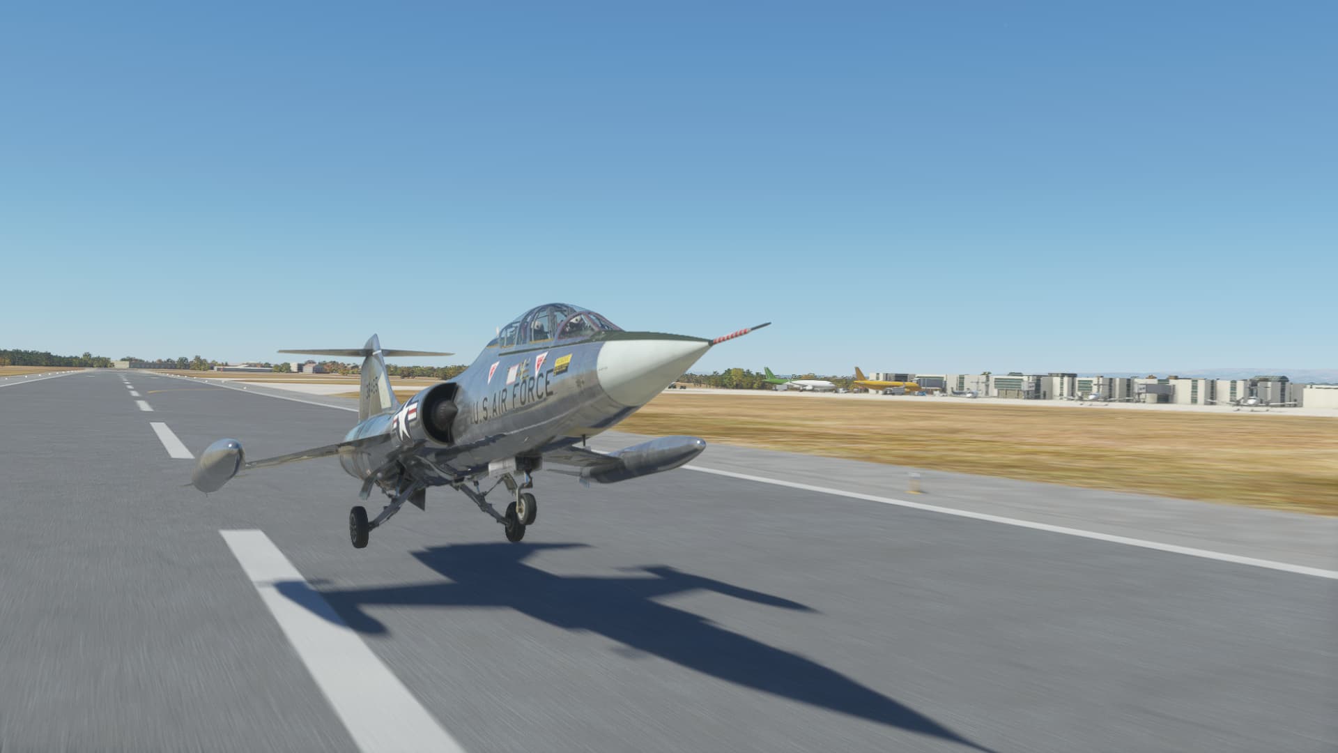
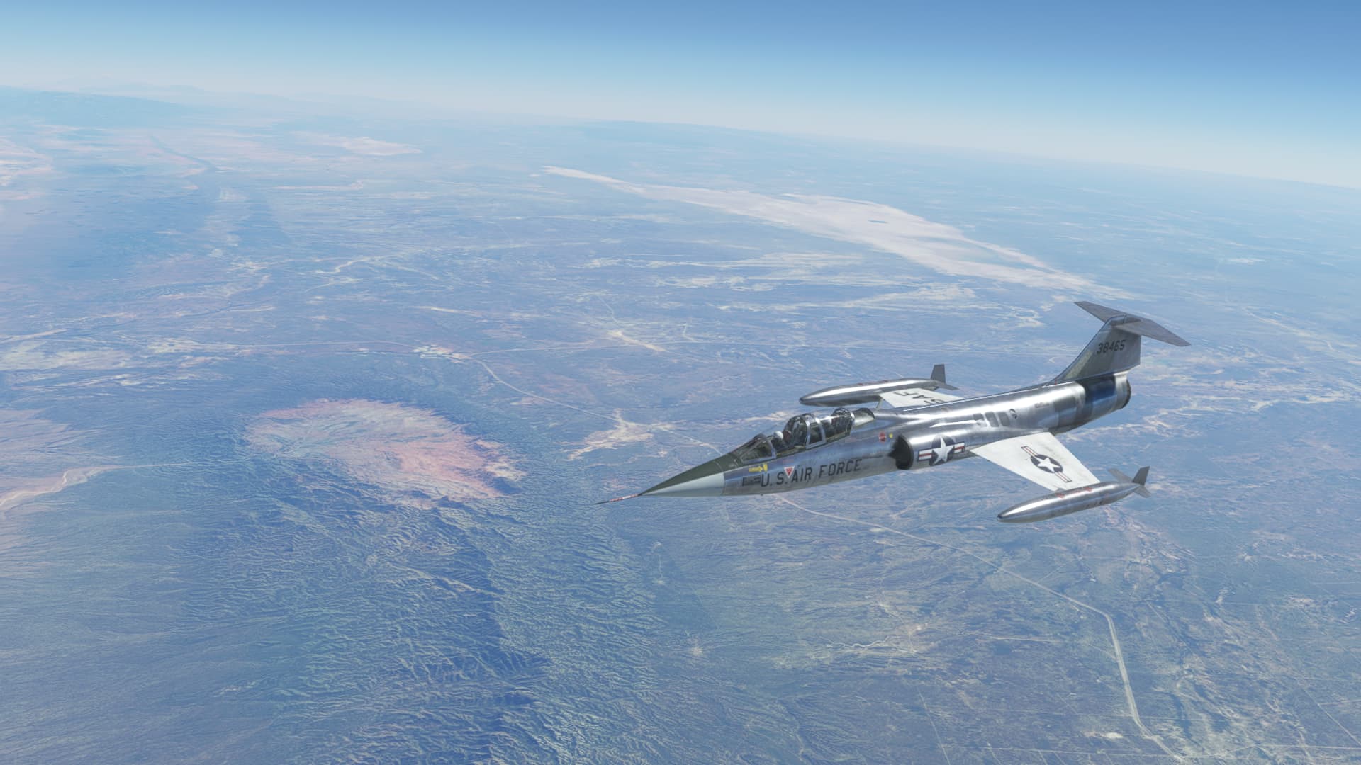
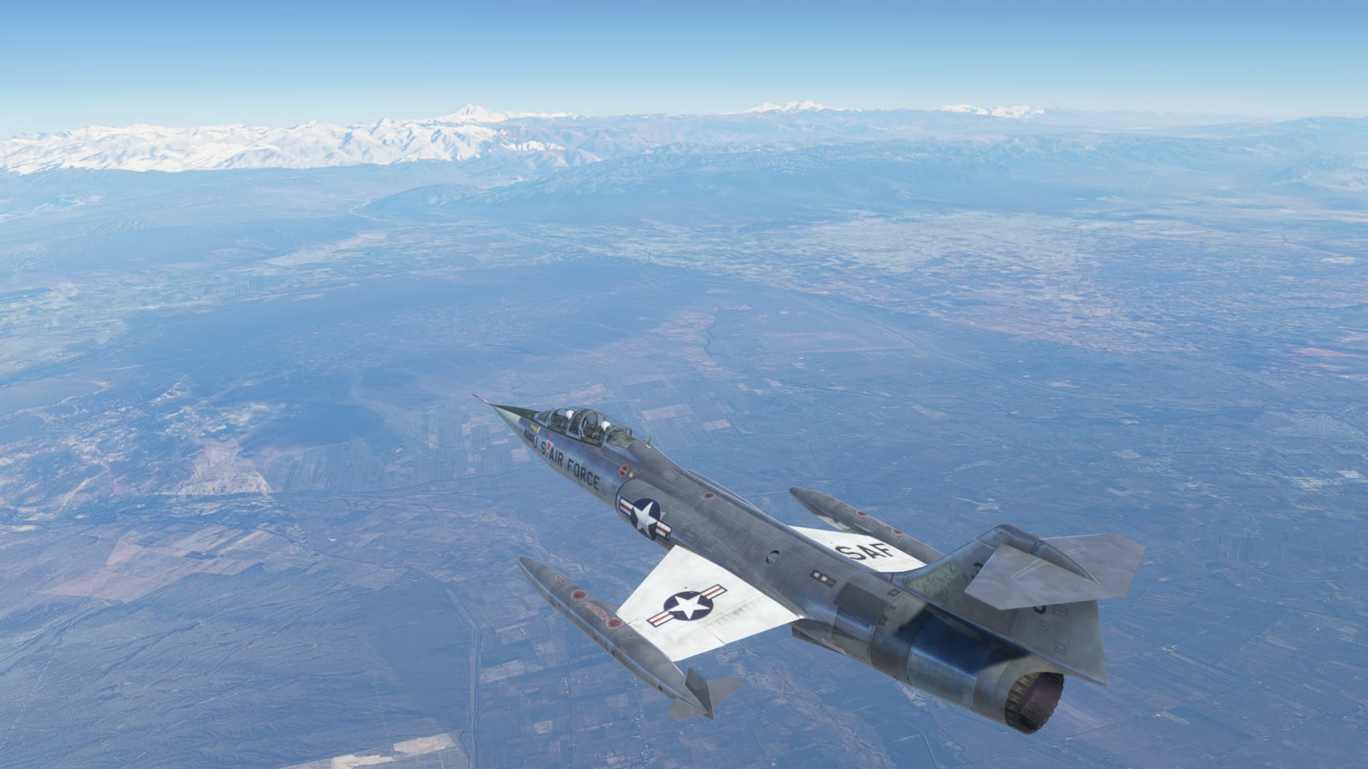
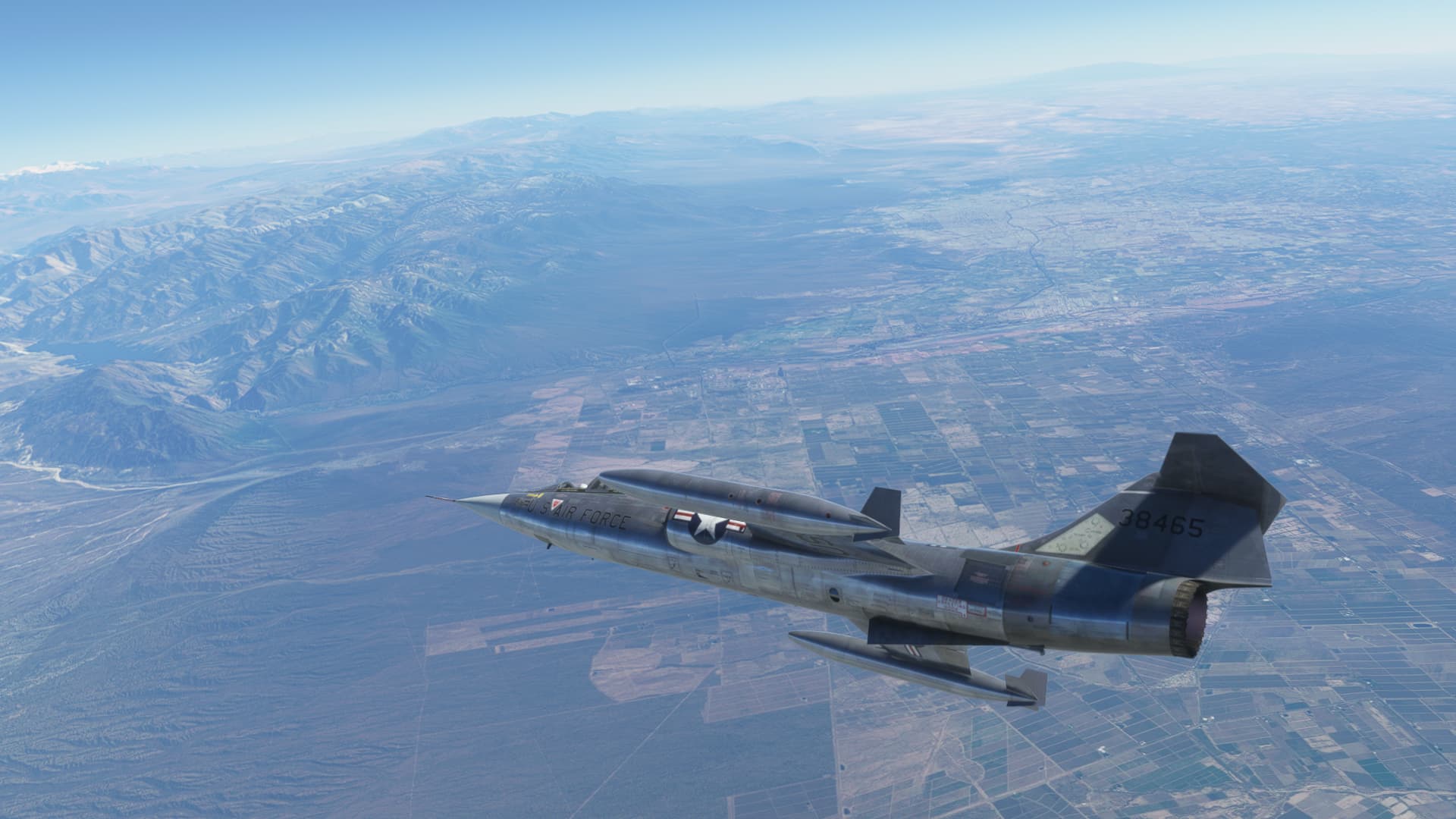
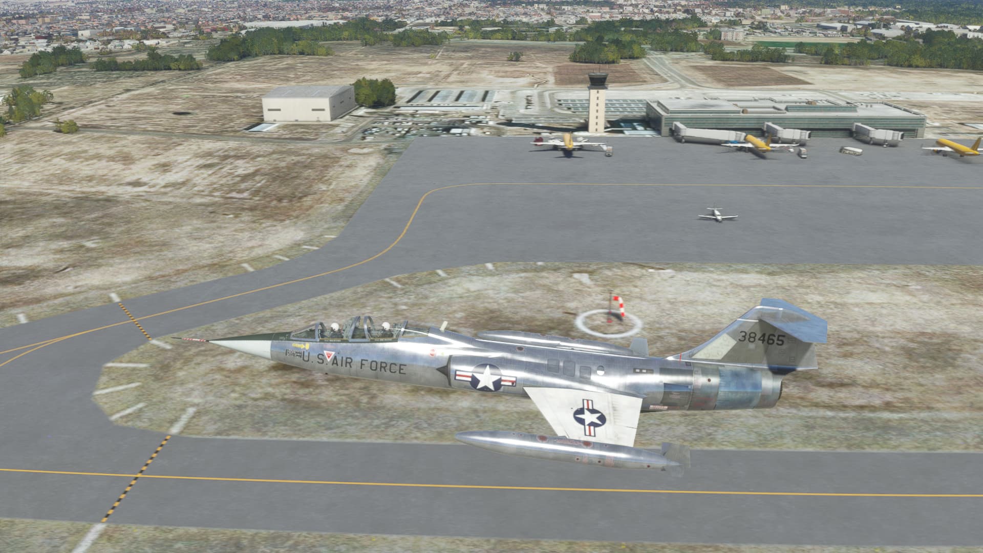
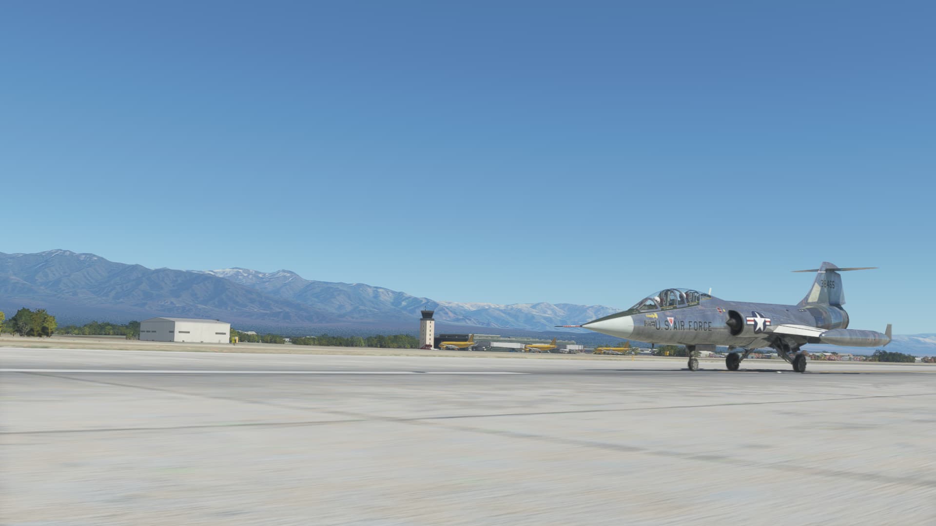
For this leg I am going to fly the recently released Sim Skunk Works TF104 Starfighter. Here we have the aircraft parked on the ramp at Cordoba. The ground crew still need to attach the tip tanks.
With the tip tanks installed, we are off!
Climbing away to the west.
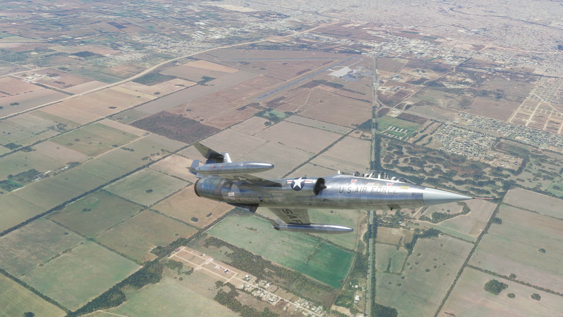
Leaving Cordoba behind us…
Taking in the scenery…
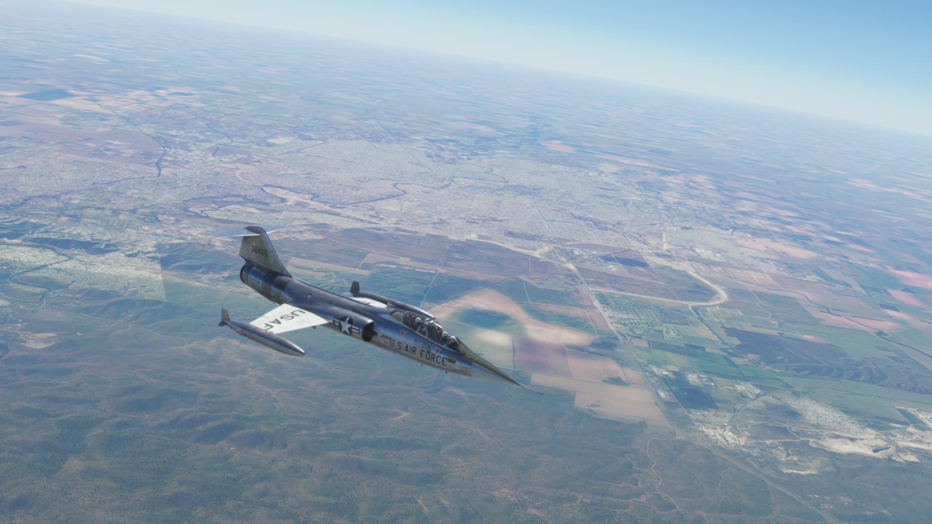
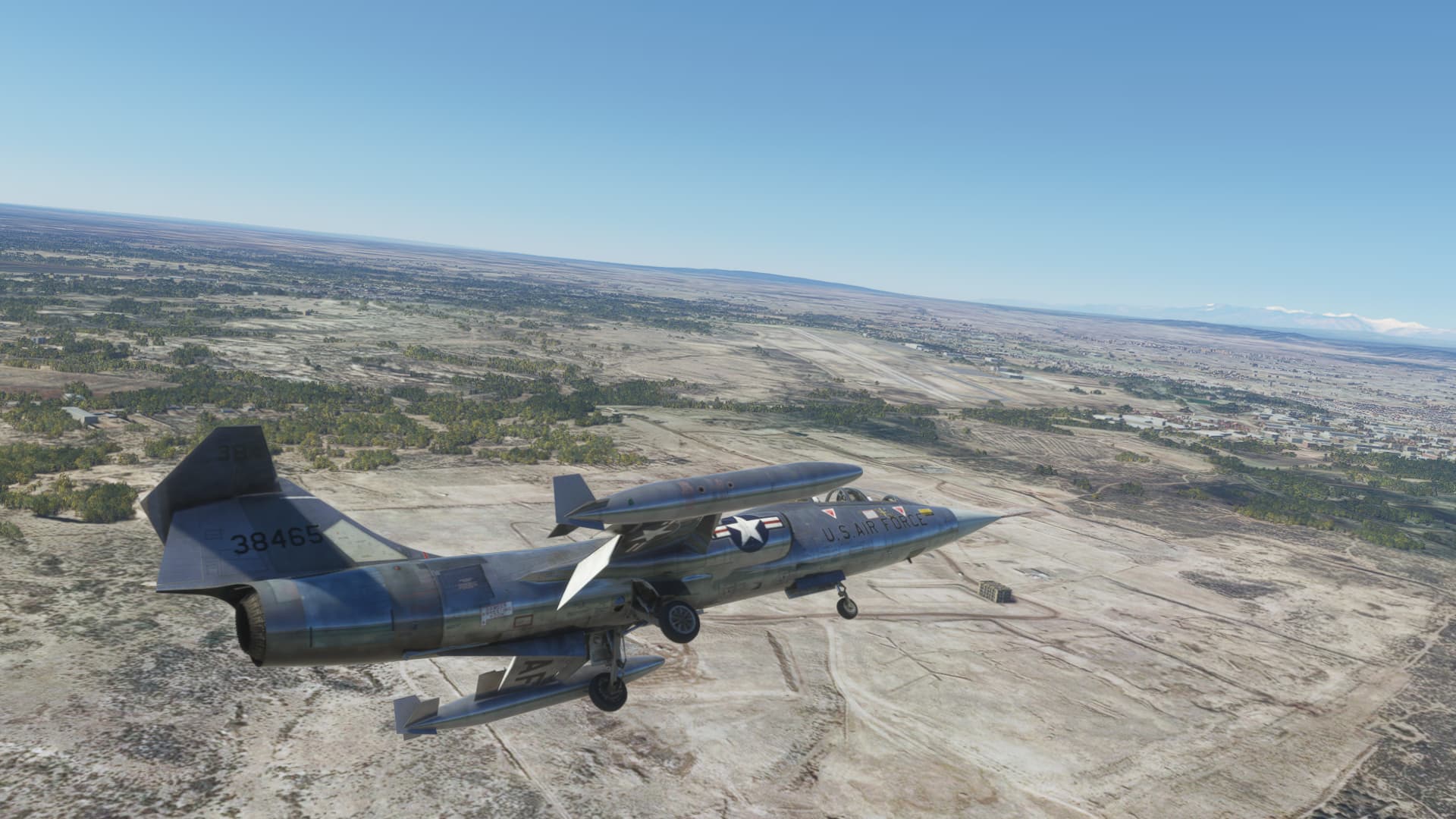
It doesn’t take long to reach the mountains, and off to the right is Mendoza.
Turning towards the city.
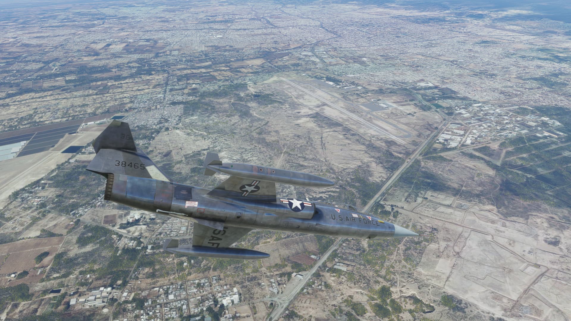
Looking down, I see two airports. I will be landing at the larger one, at the tip of the pitot tube in this shot.
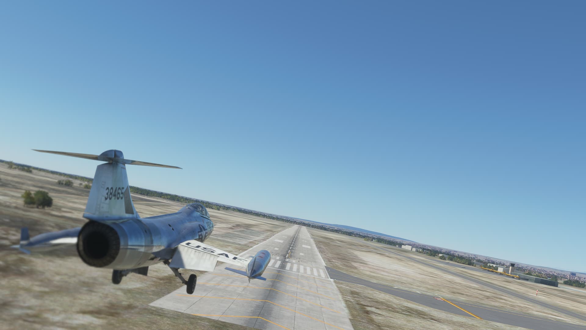
Setting up for a pass down the runway…
Waving at the tower…
Base to final…
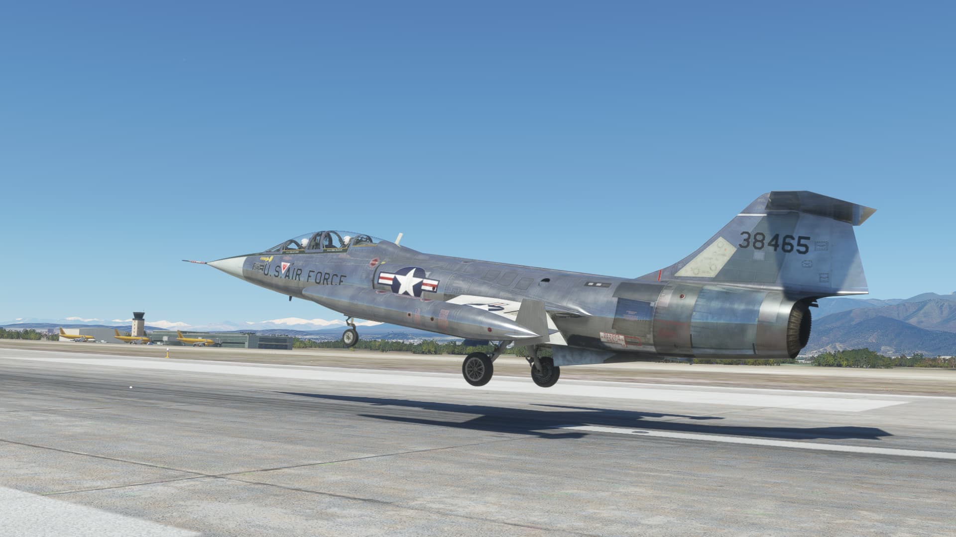
It was a pretty decent landing if I do say so myself ;).
The runway was plenty long enough, so I just let the speed dissipate without slamming on the breaks or deploying the brake chute. It’s a fun airplane to fly.
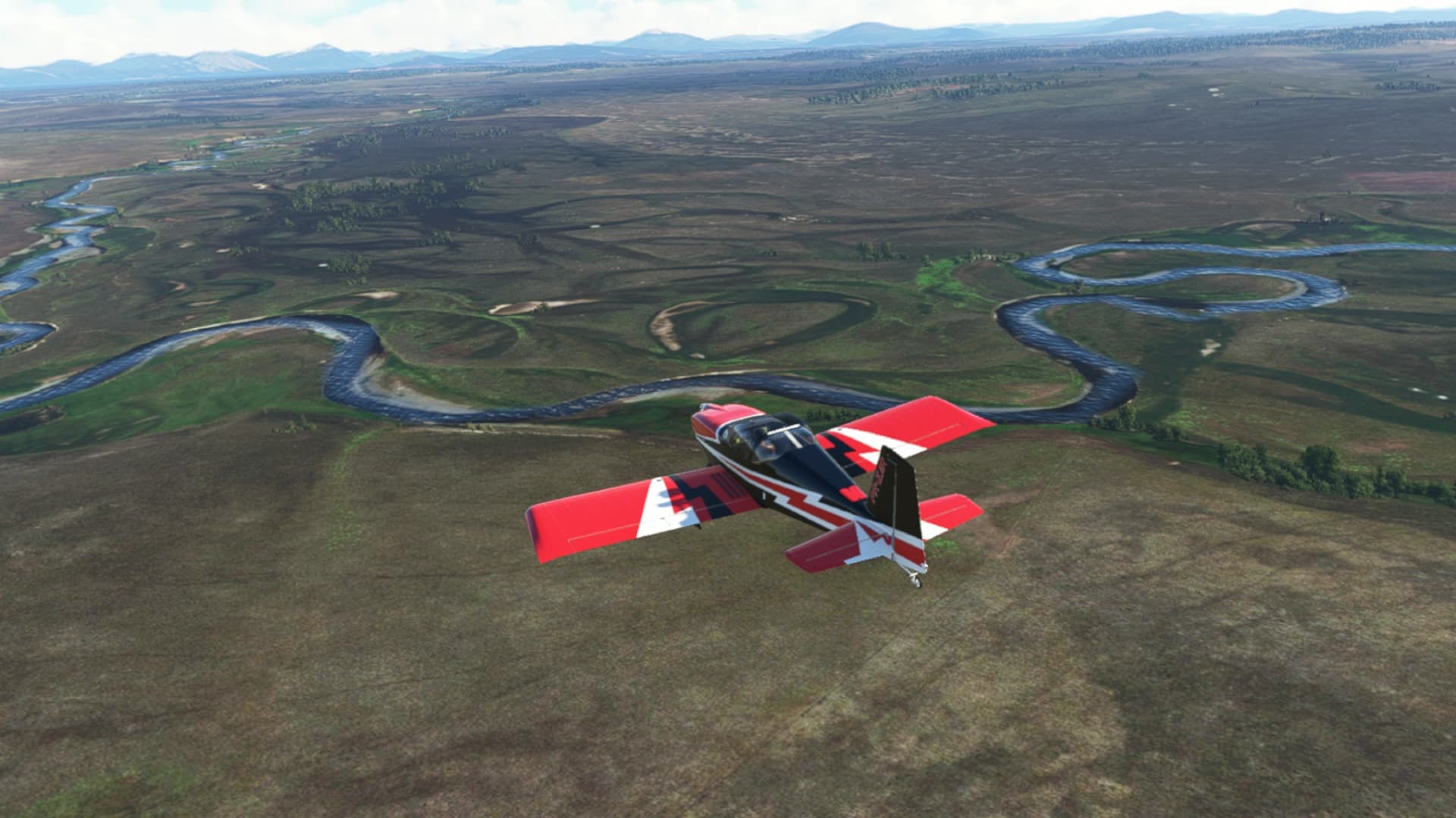
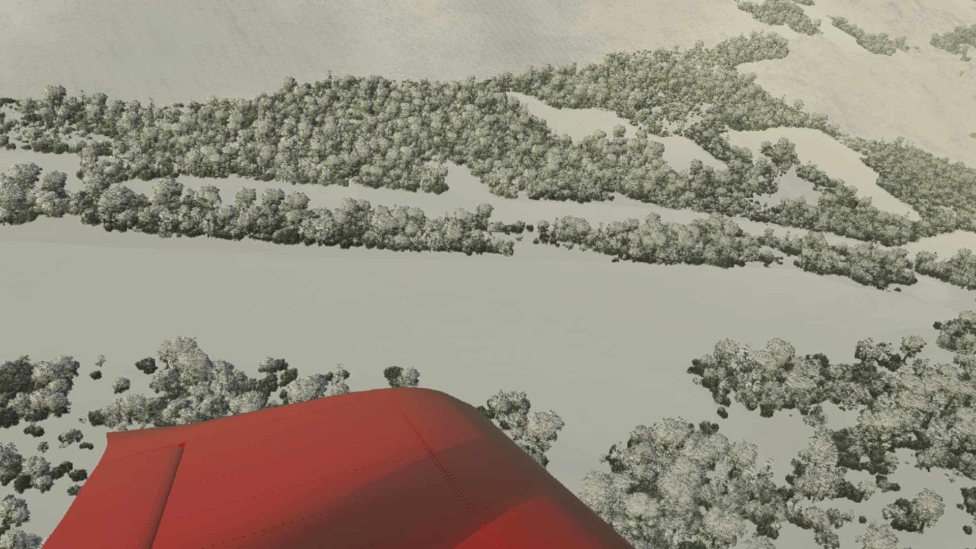
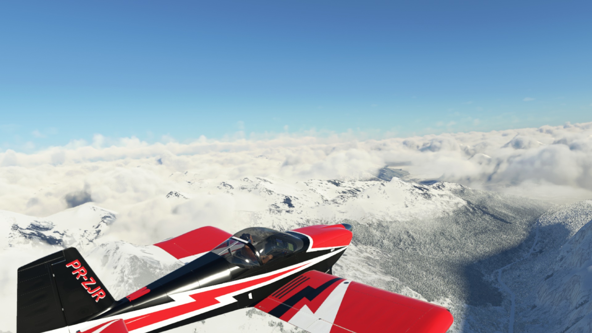
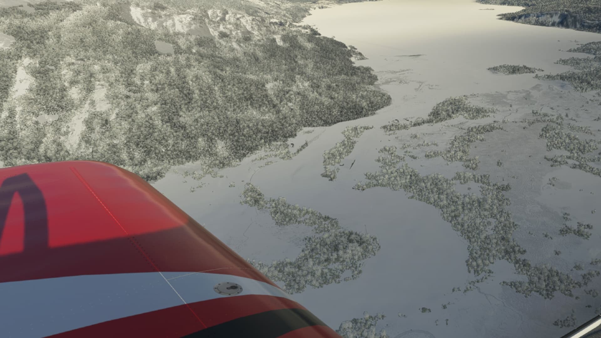
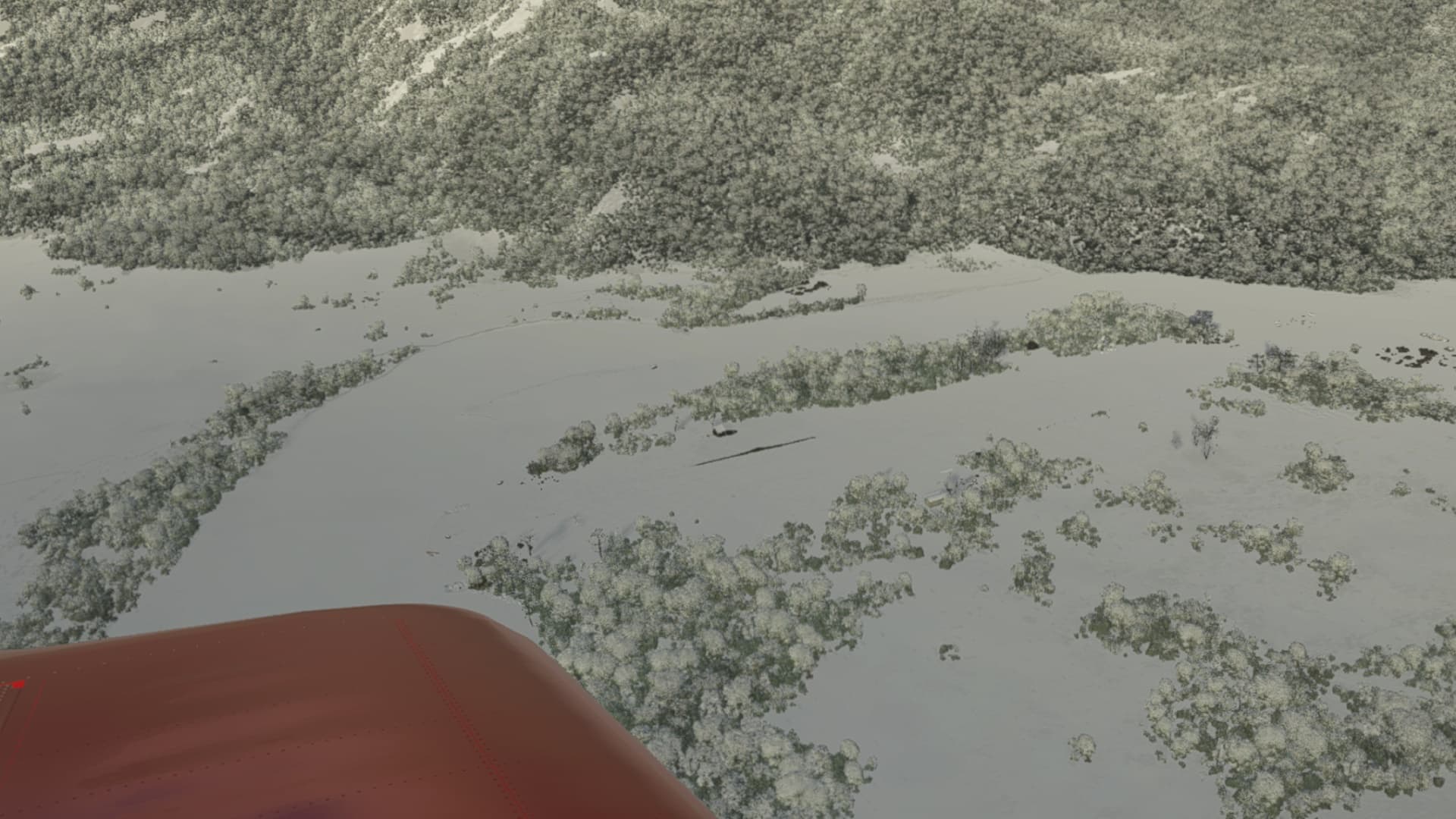
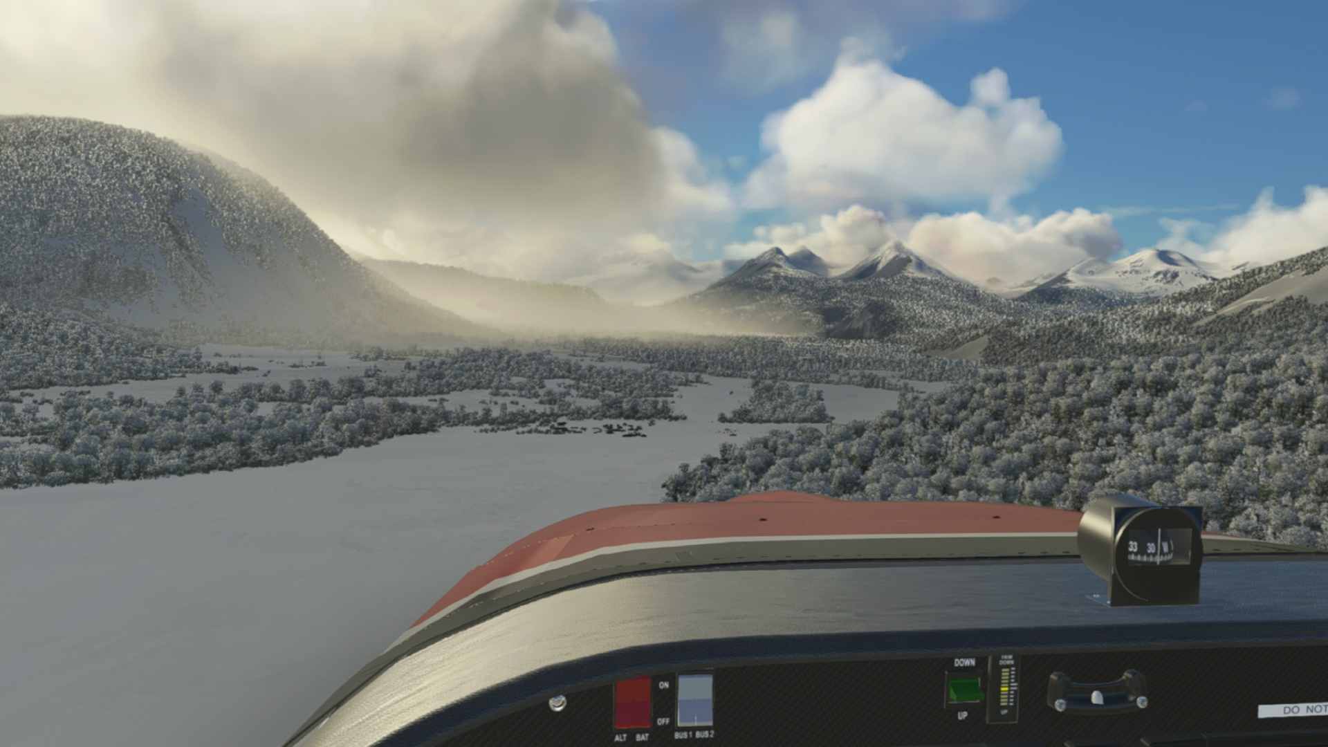
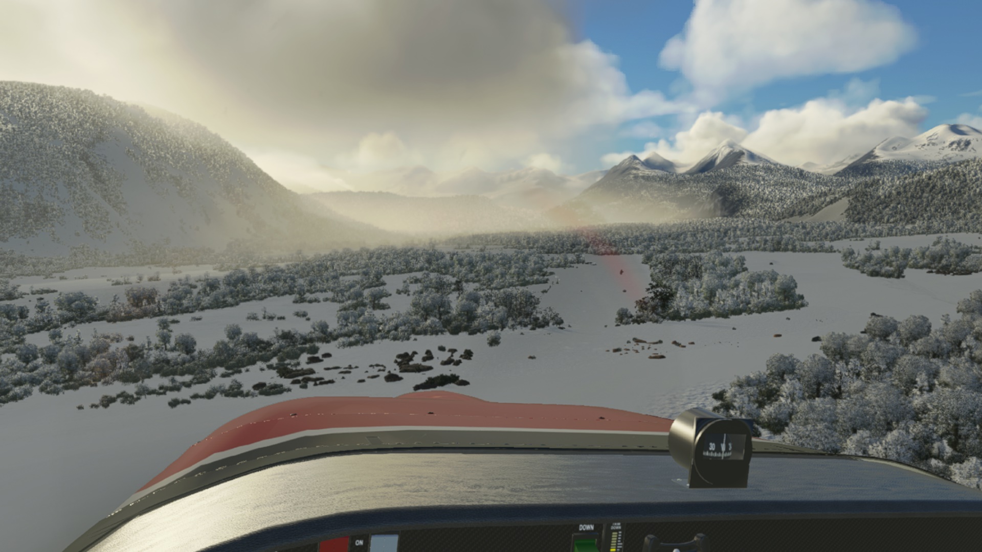
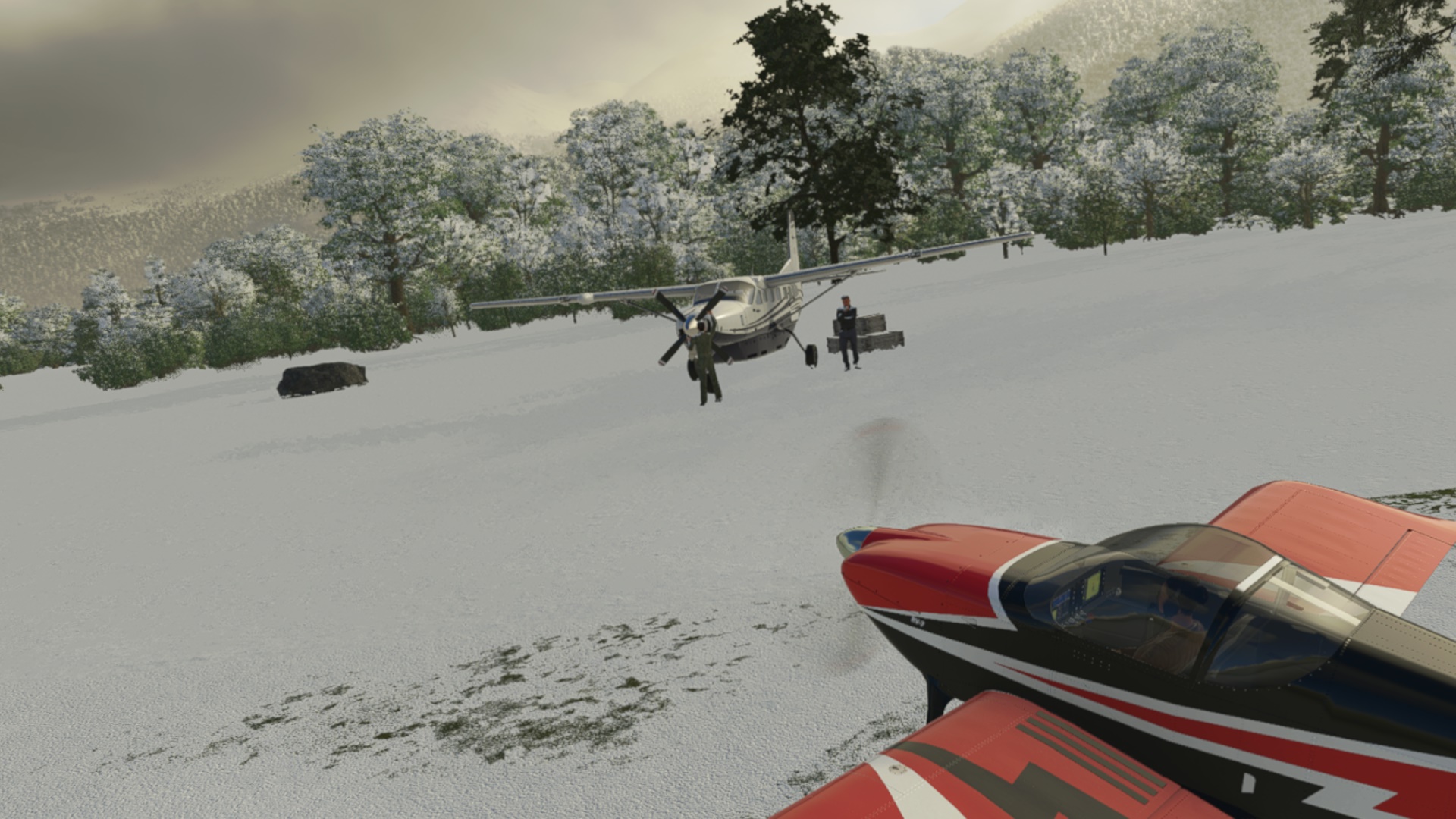
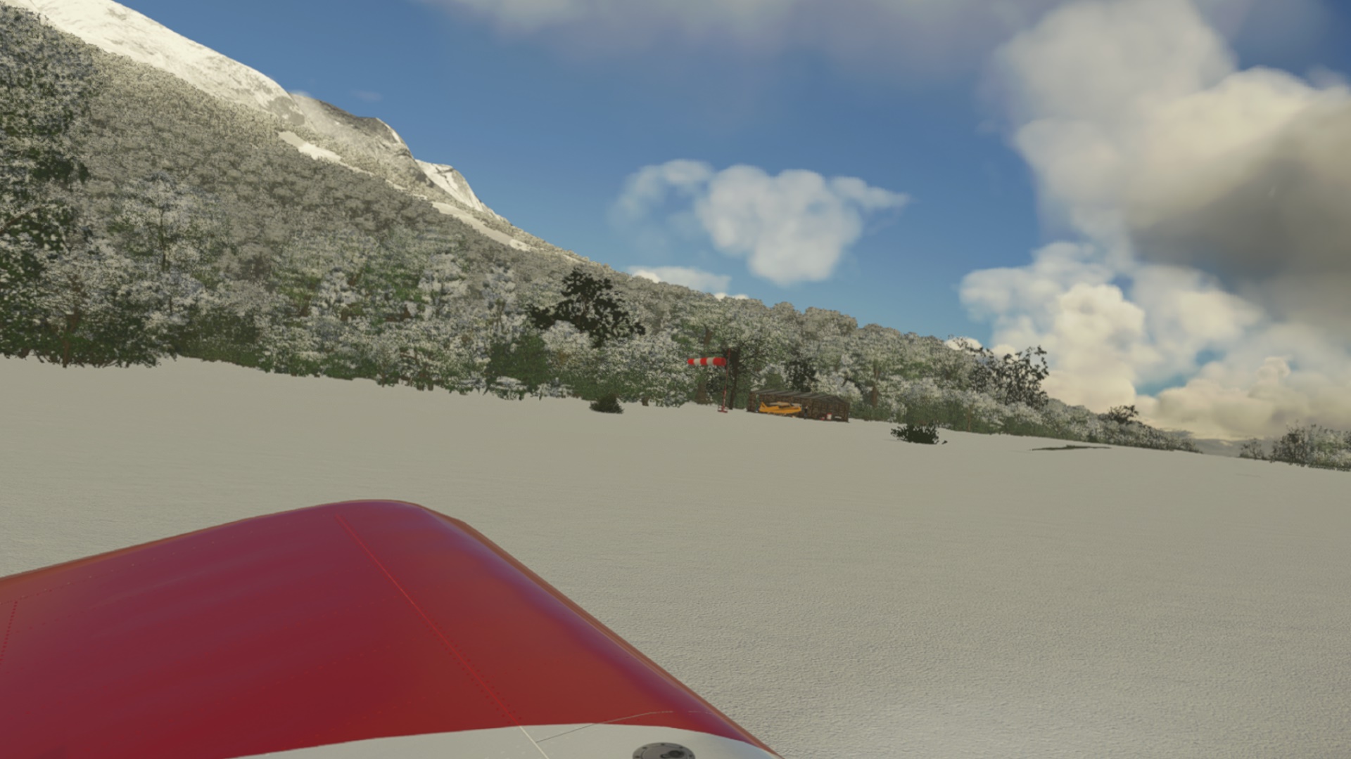
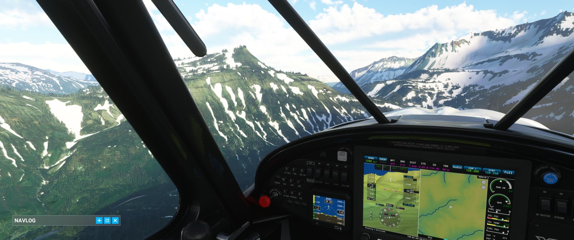
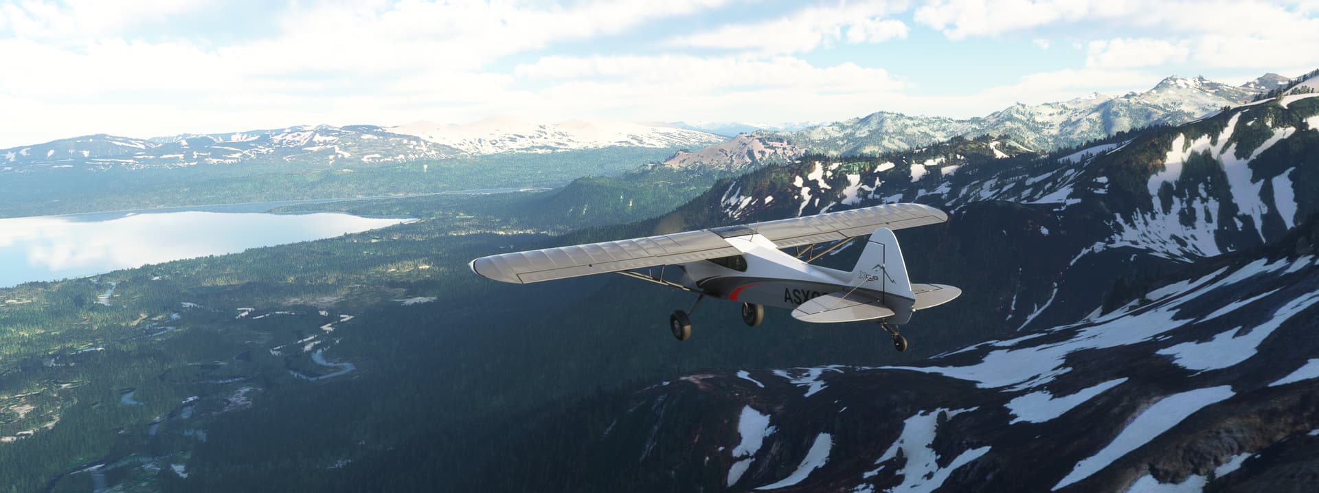
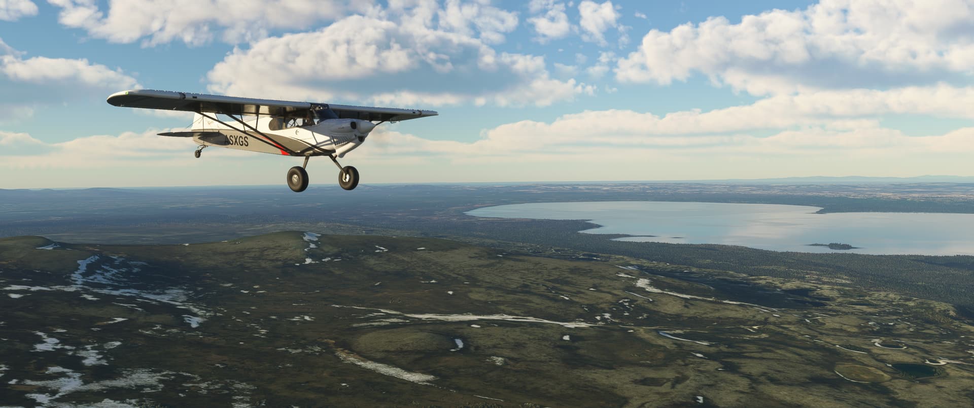
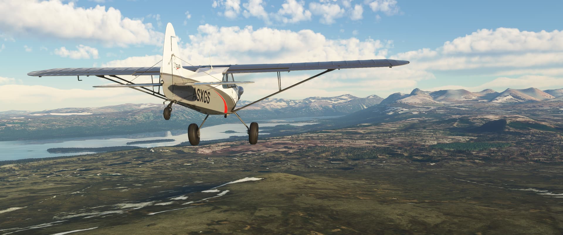
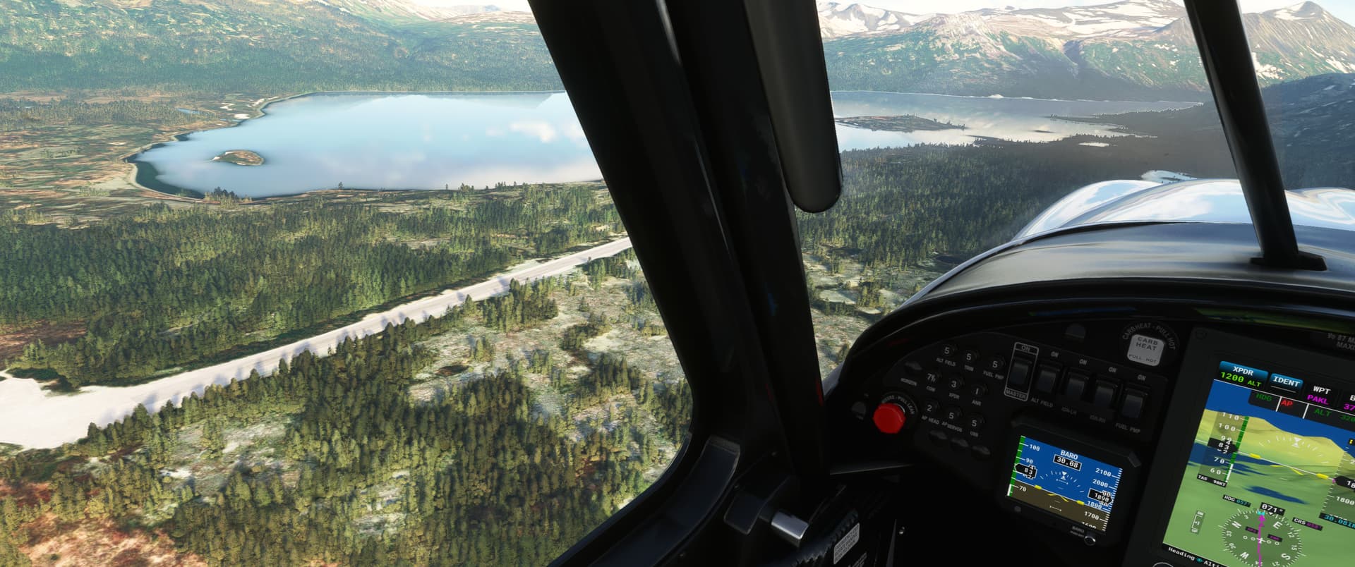
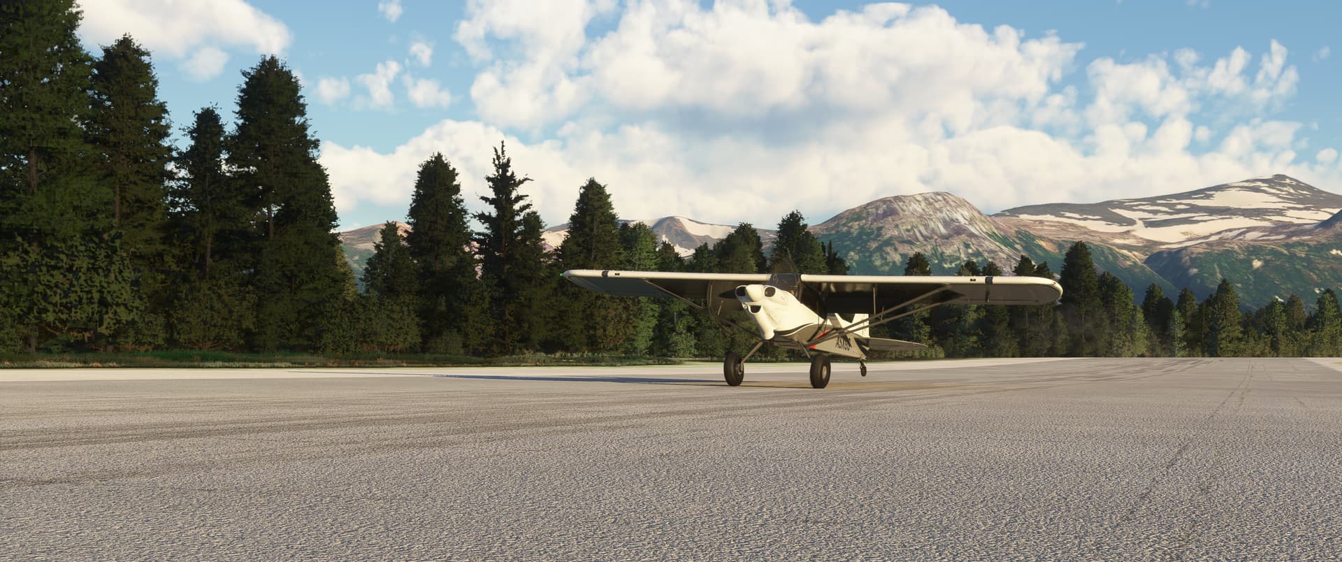
Some quick snapshots to recap my recent flights - a bit squeezed for time but want to keep fitting in flights when I can!
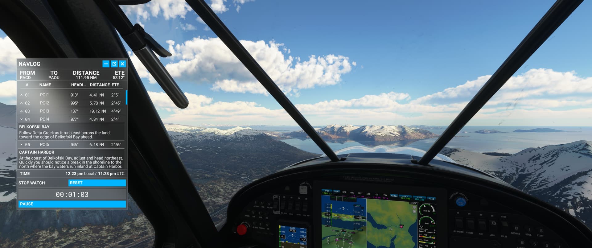
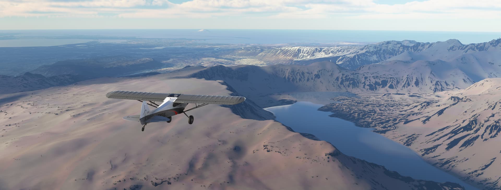
I meandered across the last of the Aleutian Islands and onto Alaskan mainland.
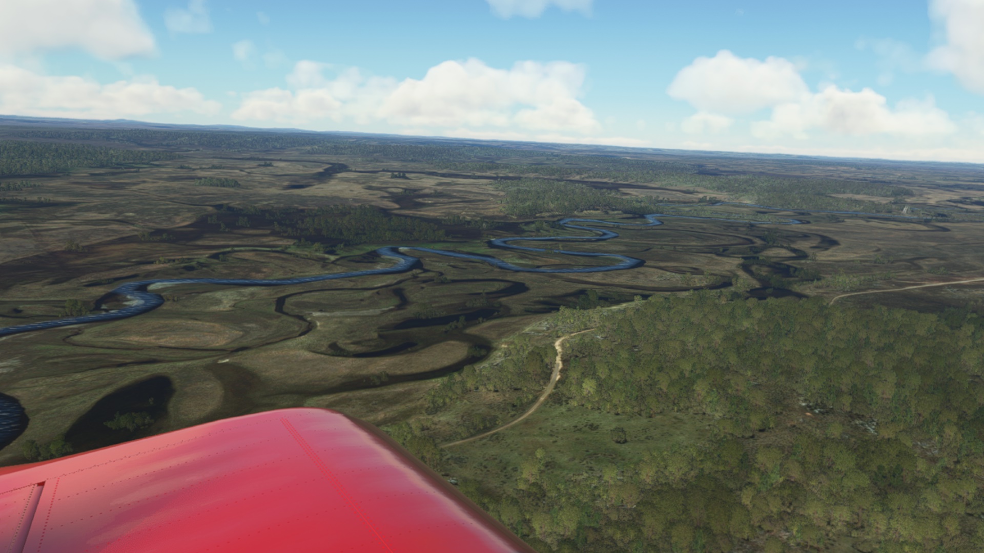
Some of the flatter areas were less exciting, but by and large it was a very enjoyable trek. Doing the bush trek challenge has its pros and cons - the weather is set to be good, which is nice for sight seeing…but it also takes from the sense of adventure.
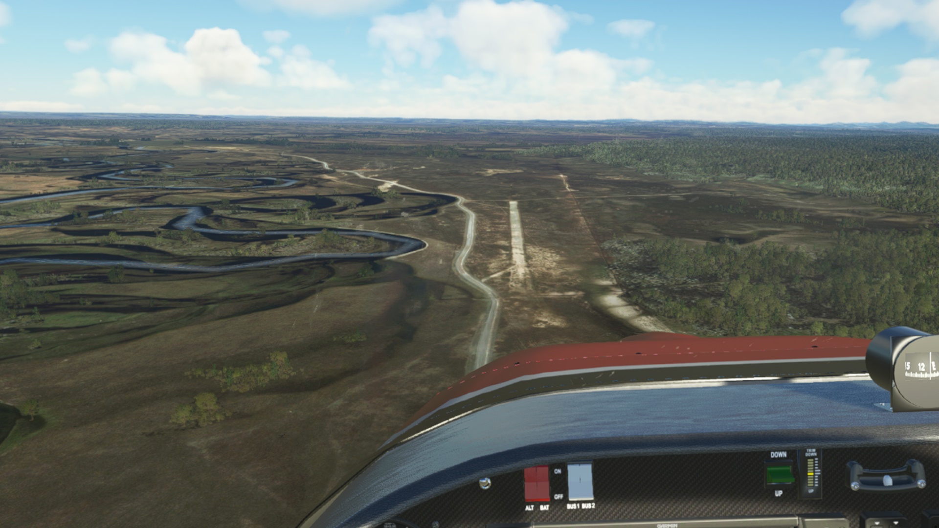
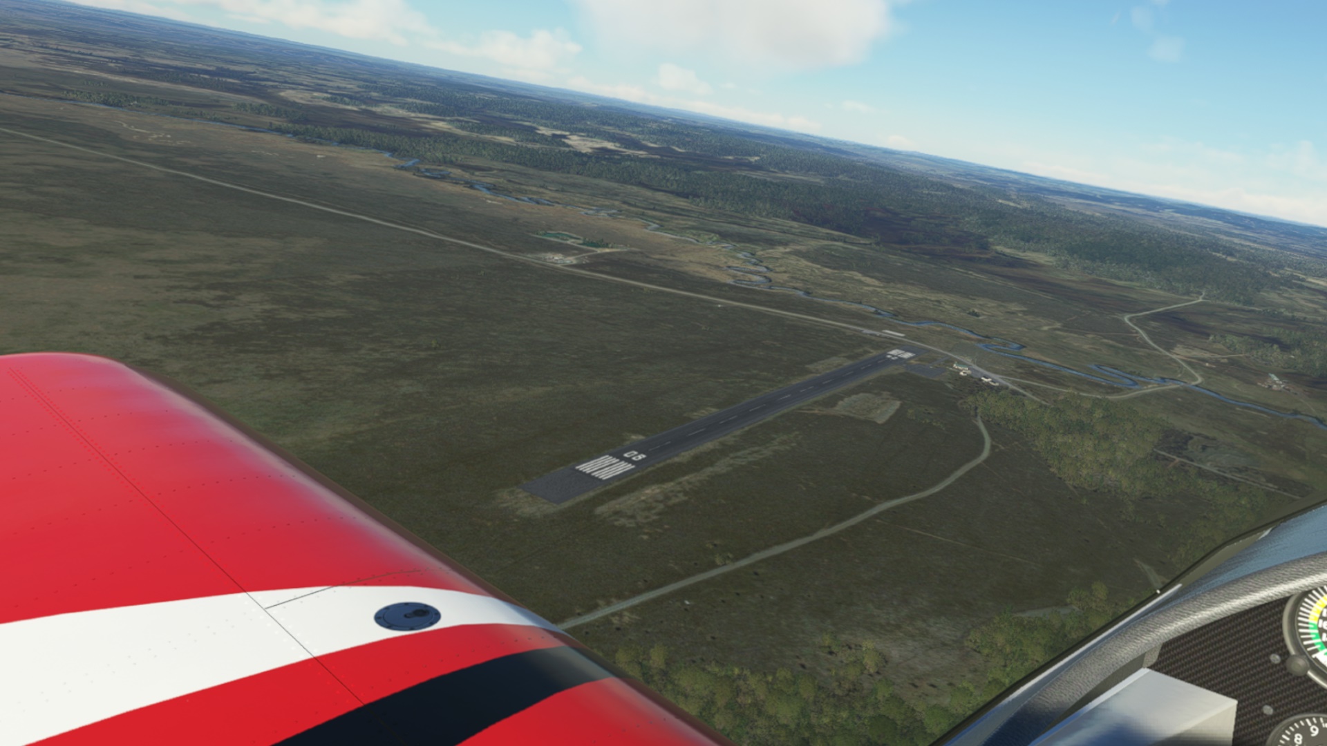
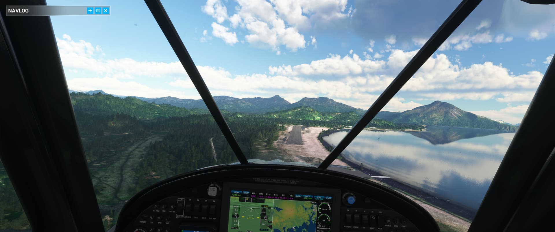
Approaching Kulik Lake, where the bush trip ends.
Nice shots. Alaska is on my “To Do” list too.
Did you grab the ORBX’s mesh for this region? They run sales right now so you can get it for few bucks