I loooooove that 104.
2 Likes
That’s just the default Alaska! The DC-6 kind of blew the bank considering I wasn’t going to spend anything this time 
2 Likes
Beautiful screens Bearhedge. Stunning scenery. At its worst, MSFS is allowing us a breathtaking journey around our planet.
I love the XCub. I know that it’s impractical for most of us and not family friendly, but it would be wonderful to own.
2 Likes
the ultimate traveler 
2 Likes
I just realized that I forgot to post the report for the leg I flew last week. Here it is:
My bad weather/autopilot problems divert left me at Vitória. When I continued after a healthy dose of Mojitos and sleep I realized that there was more bad weather incoming.
Let’s get out of this place and to Rio! (SBVT → SBGL)
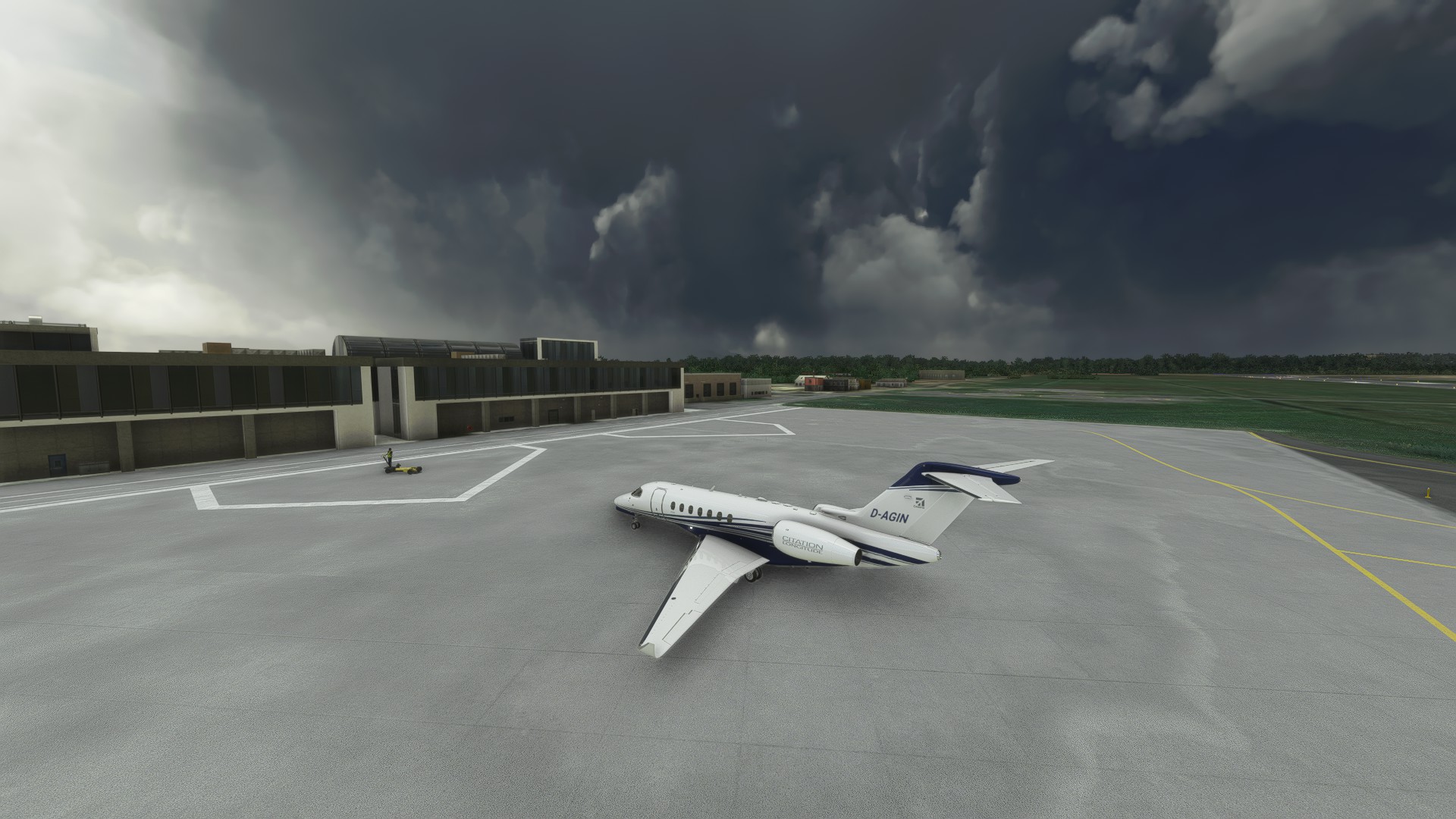

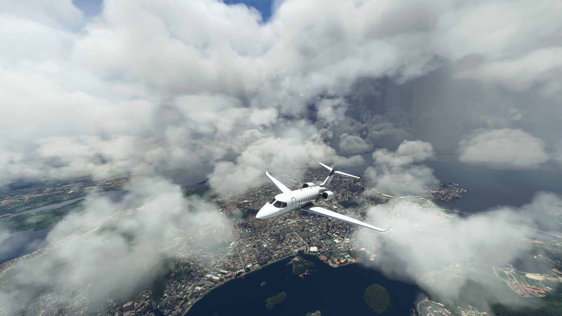
Nice visuals climbing out. My daughter loved the rainbow even though it was faint.
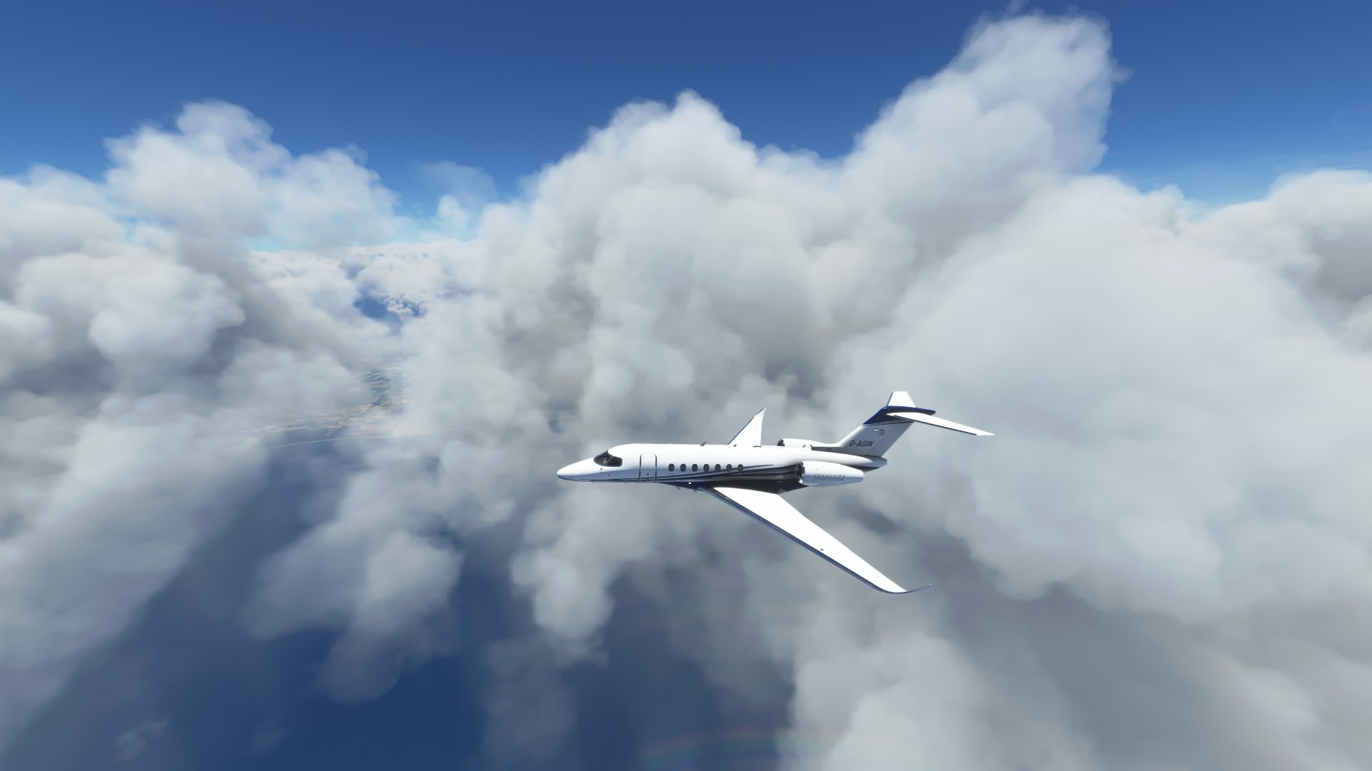
The clouds got thicker on my way south and I feared another sh**show like last time, but at least this time the autopilot didn’t try to kill me.
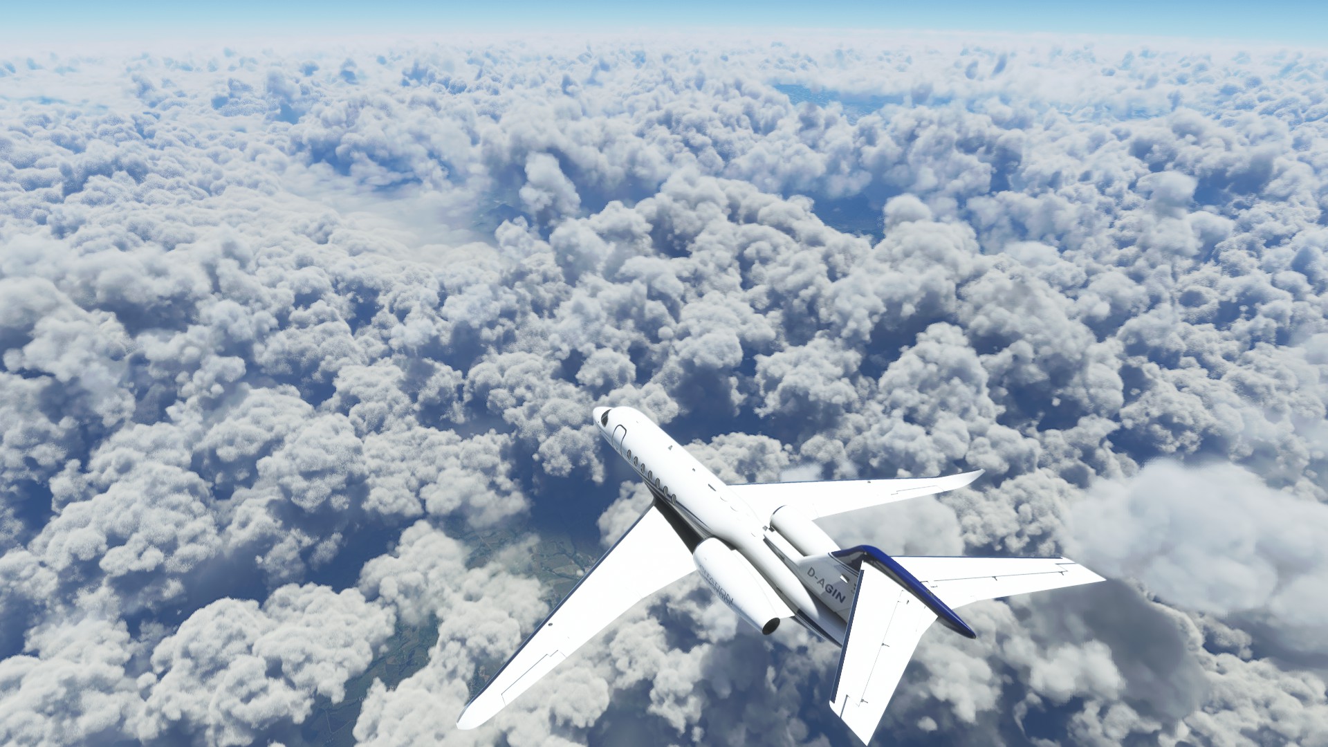
Not much to see of the Desengano State Park. Many endangered animals live here though.
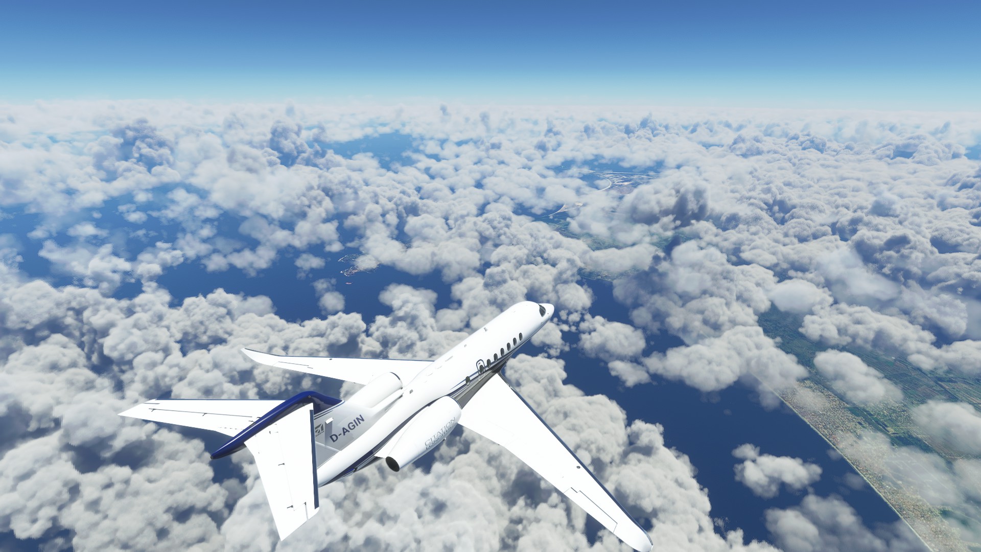
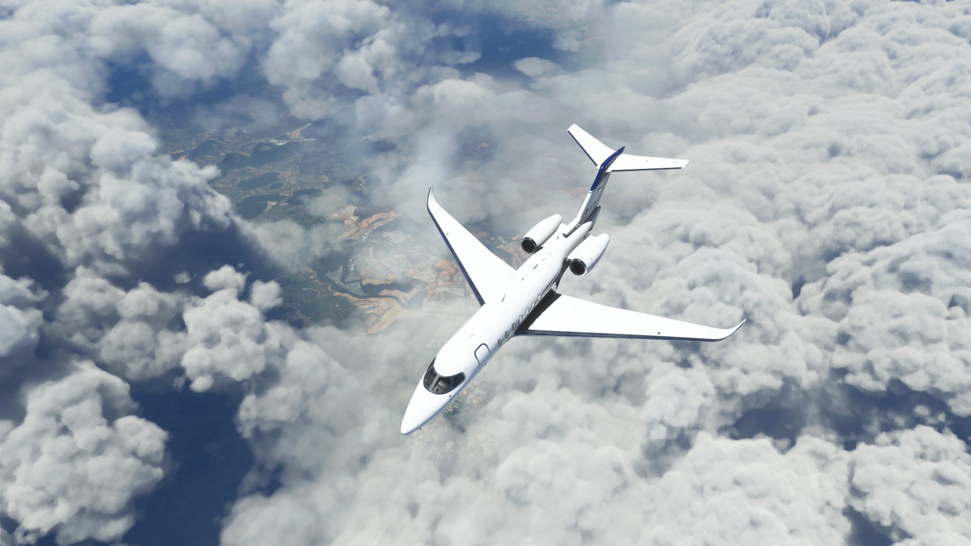
Descending near Cabo Frio
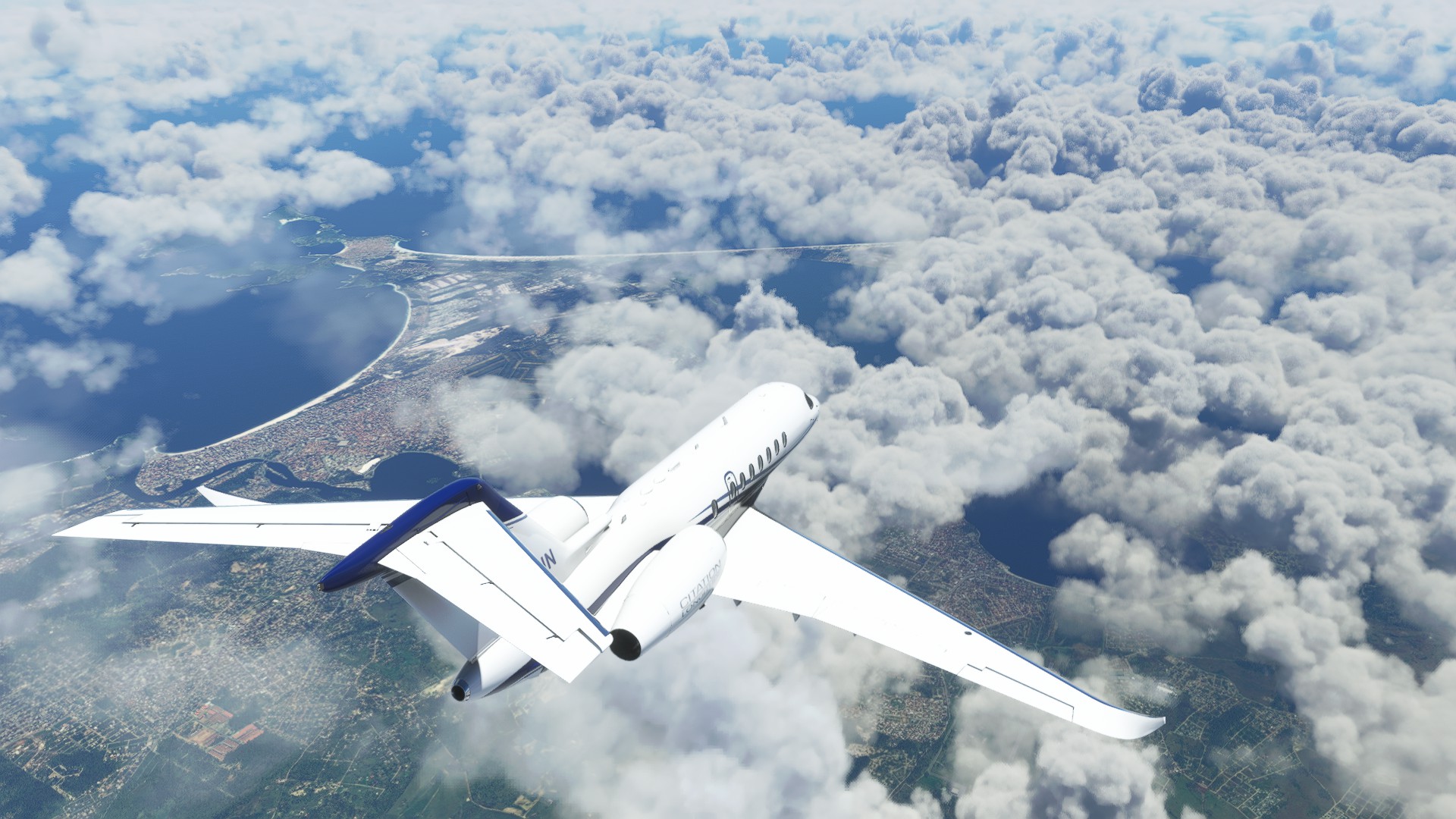
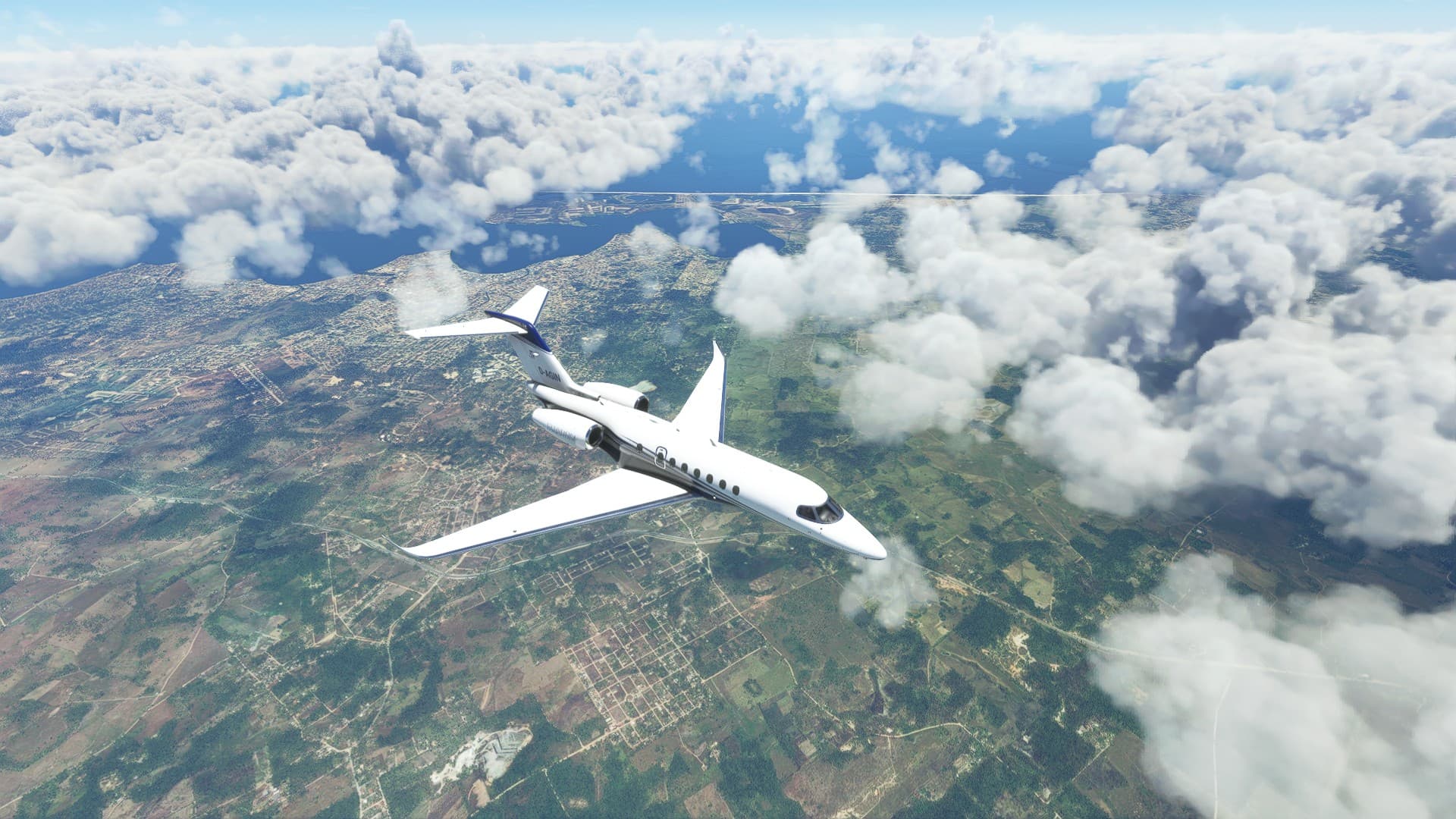
ATC decided to let me fly right at the altitude with all the clouds, but I knew that I was going to land using an ILS so that wasn’t a problem. Except that I couldn’t see the scenery.
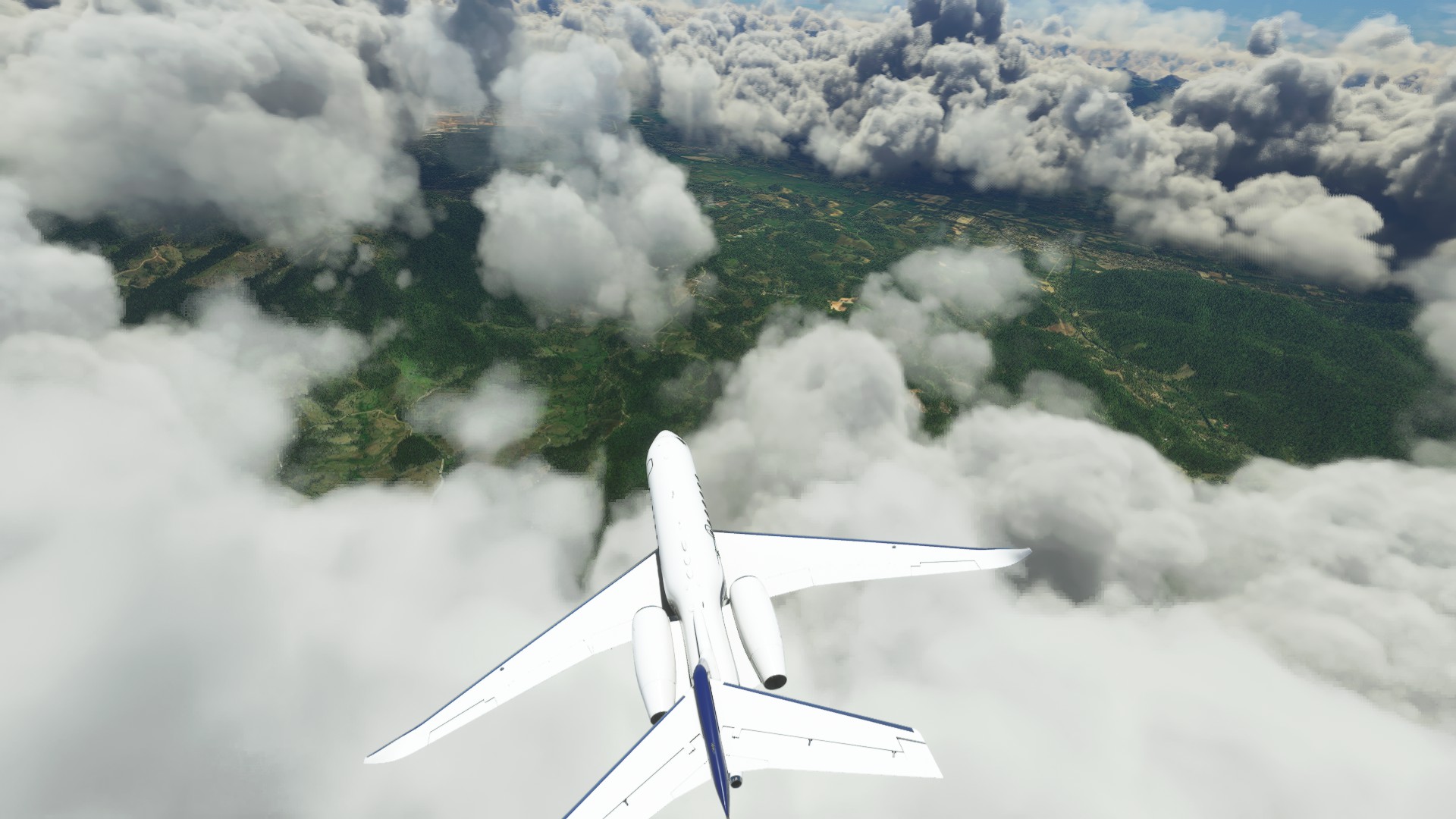
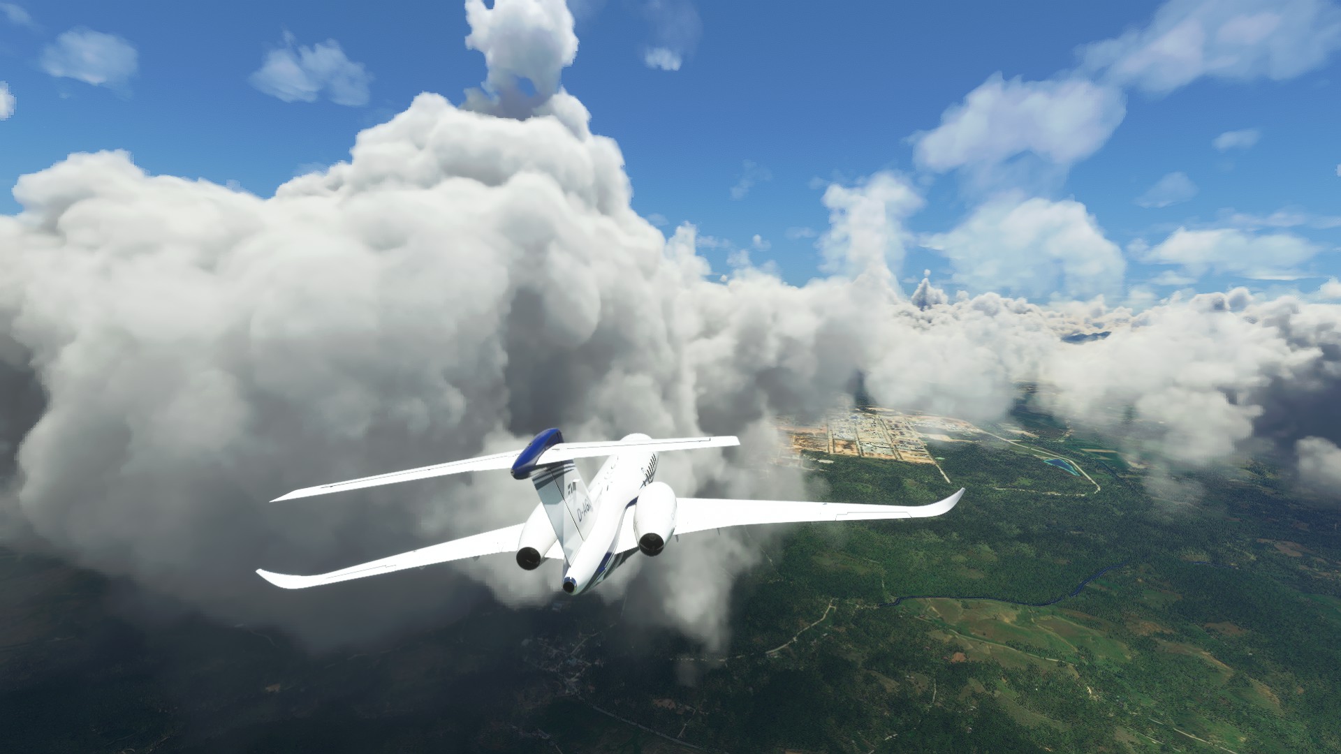
On final. Sadly I couldn’t see a whole lot of the city. I might do a little flight in a small plane just to look at it.
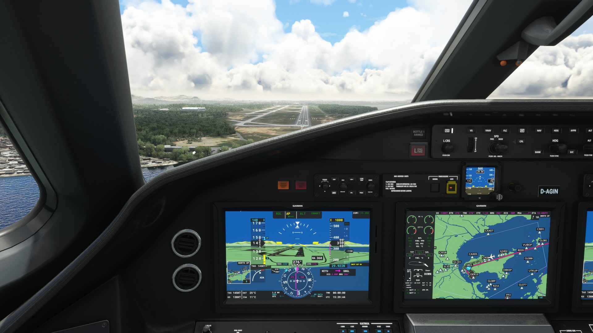
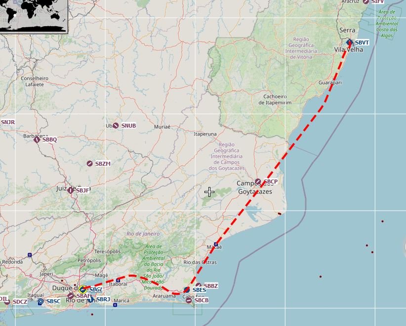
For some reason they routed me through the big boys’ territory. Nice airport!
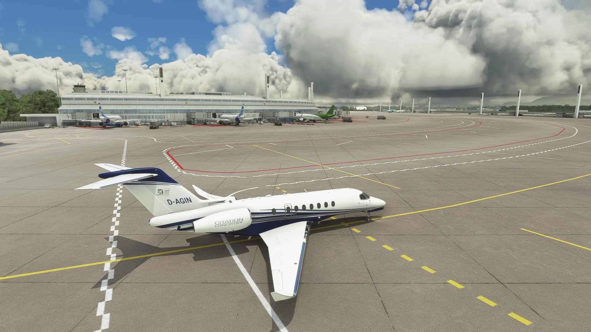
Oh no! Bus guy has somehow followed me here!
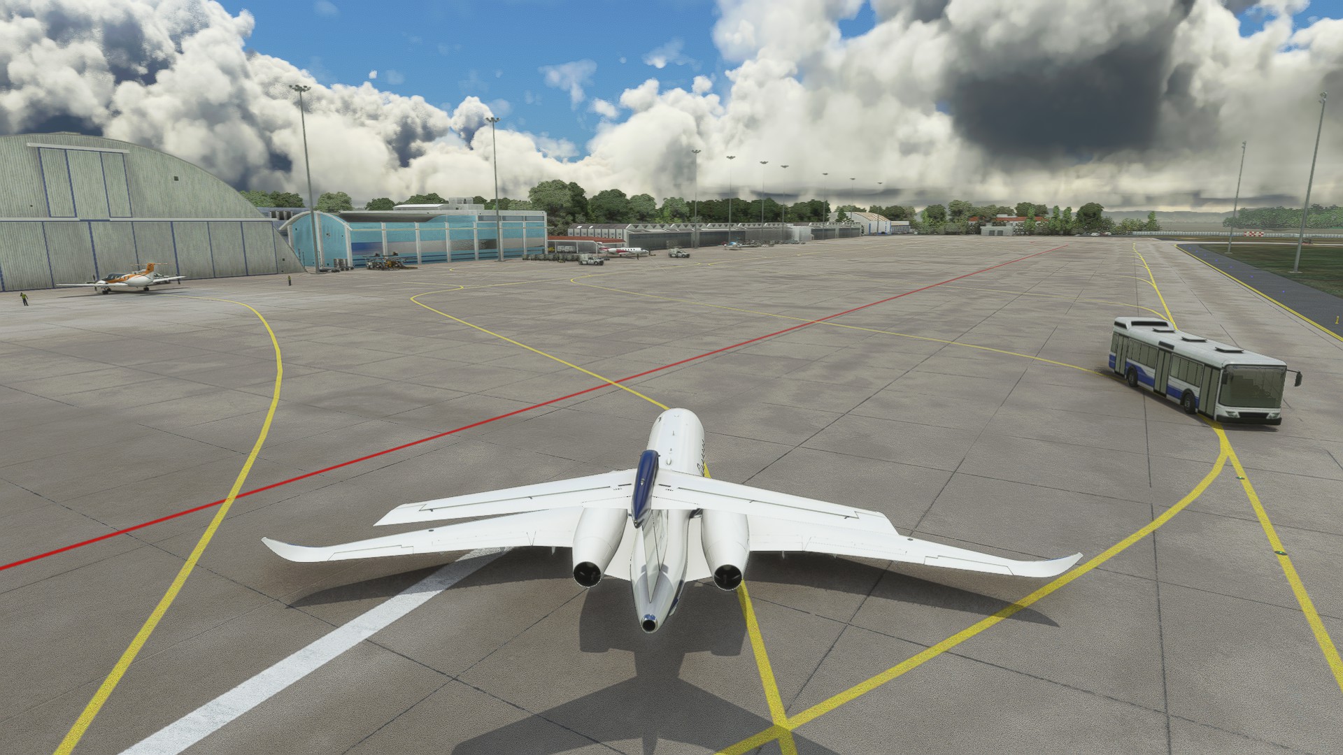
He tried to kill me but failed. The parking spot was a little too tight for my taste though. But I moved in very slowly and made it.
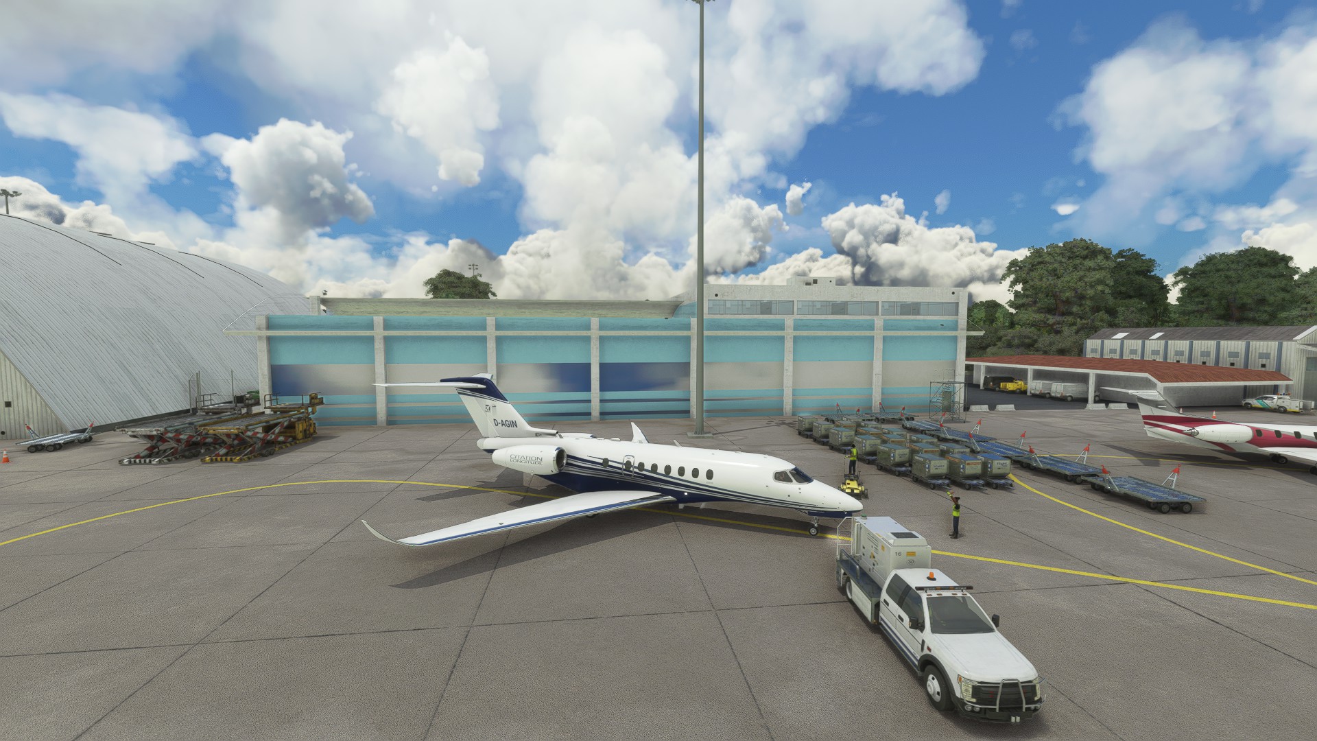
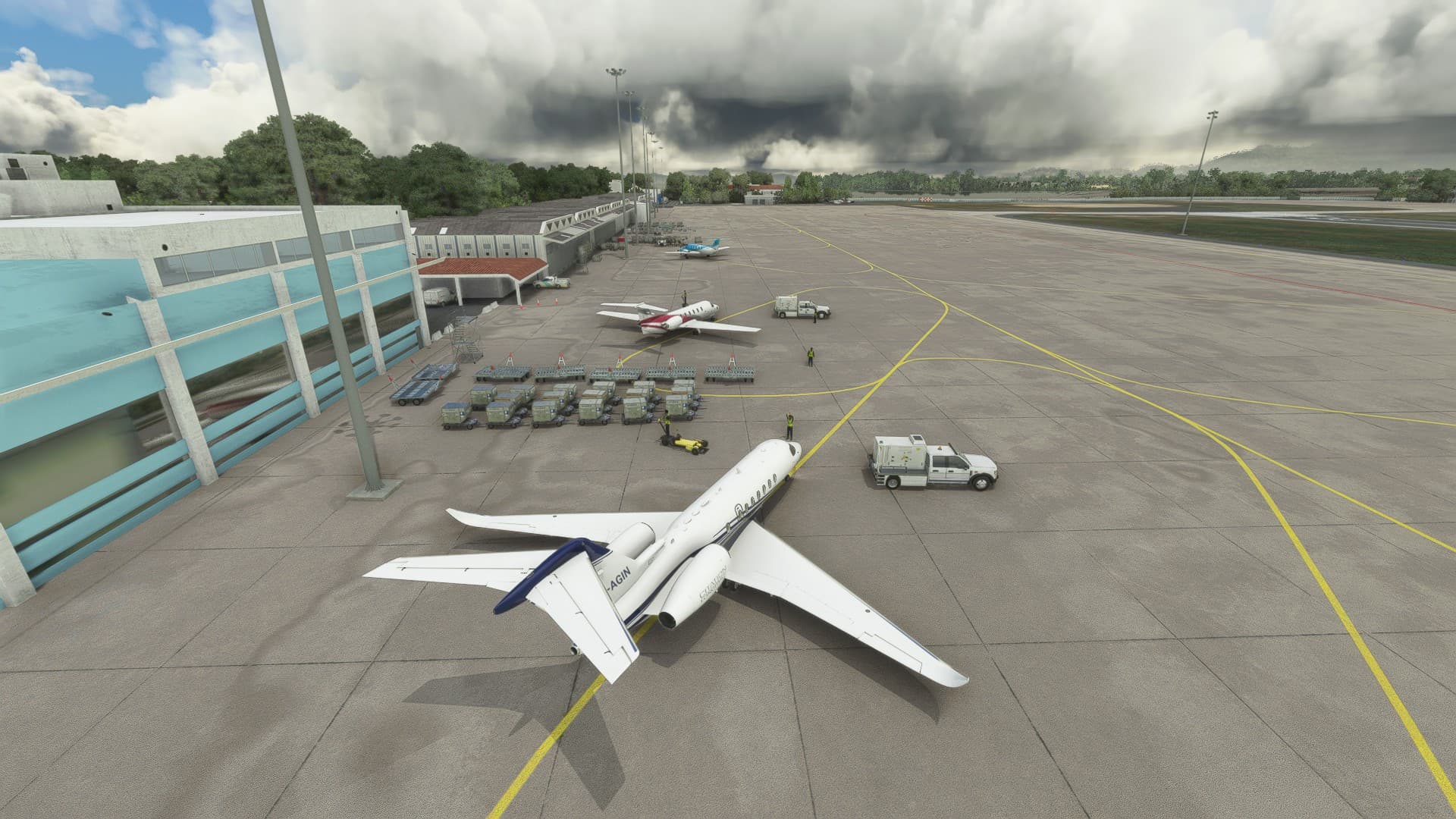
Hello Rio! It has been a few years. Next up: Fly to Buenos Aires, Argentina (SAEZ)
8 Likes
I flew the little tour of Rio today.
Not real weather or real time, but a really nice little plane, the Robin DR400.
Takeoff from SBGL. The island is called Ilha de Governador by the way.

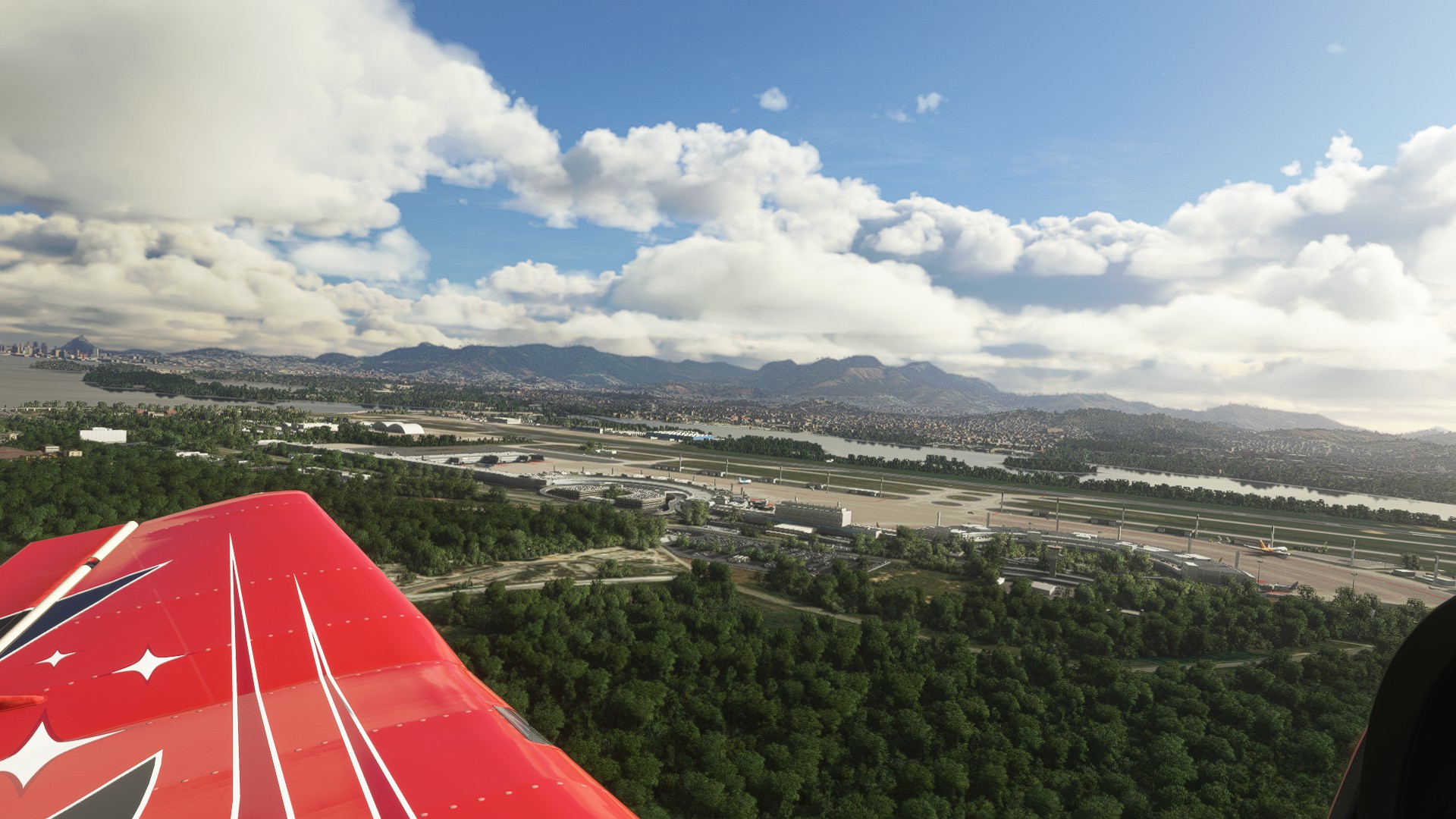
The mountains to the north are where the ATC in FSX tried to kill me when I flew my approach from the north on my last leg for the Mudspike fly-in for the Rio Olympics 2016
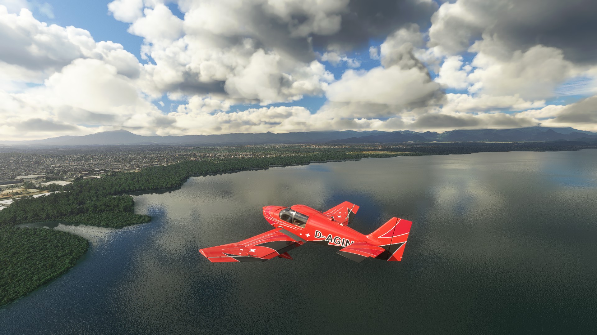
Man, this looks real. Keep in mind that we are talking about stock scenery here!
Unbelievable what flight sims have become in the 21st century. I’m not nearly as old as some of y’all, but I started flying sims in the last century (around 1990), and to see that kind of graphics is still mind-boggling sometimes.
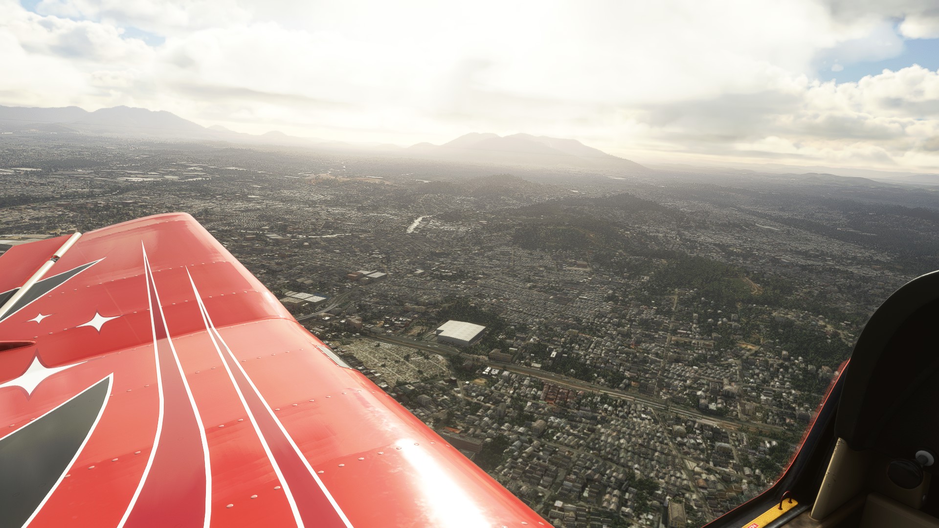
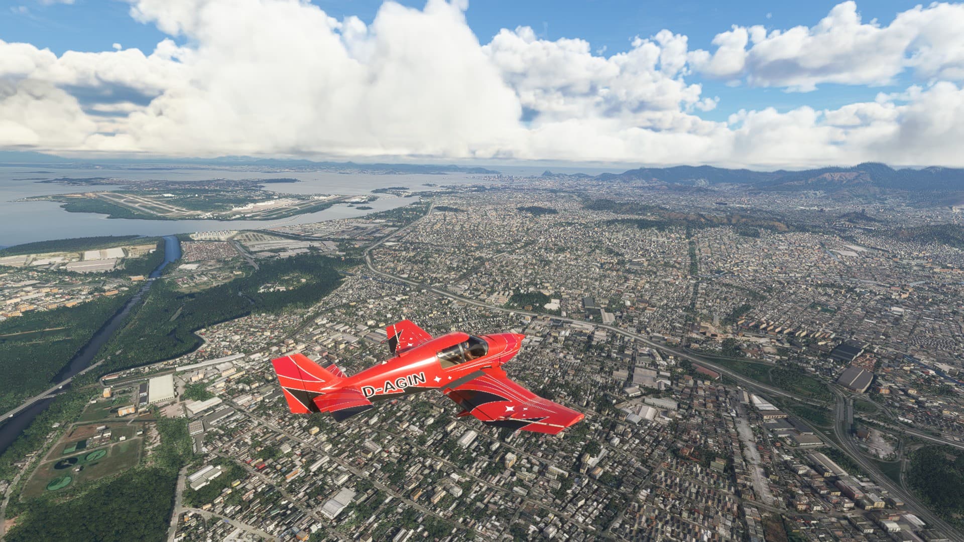
Downtown off my left wing, and near my right wing you can see the Maracana stadium, the place where they hate Germans a lot since the semi-final of the soccer world cup in 2014. I almost expected to see flak when I flew over it.
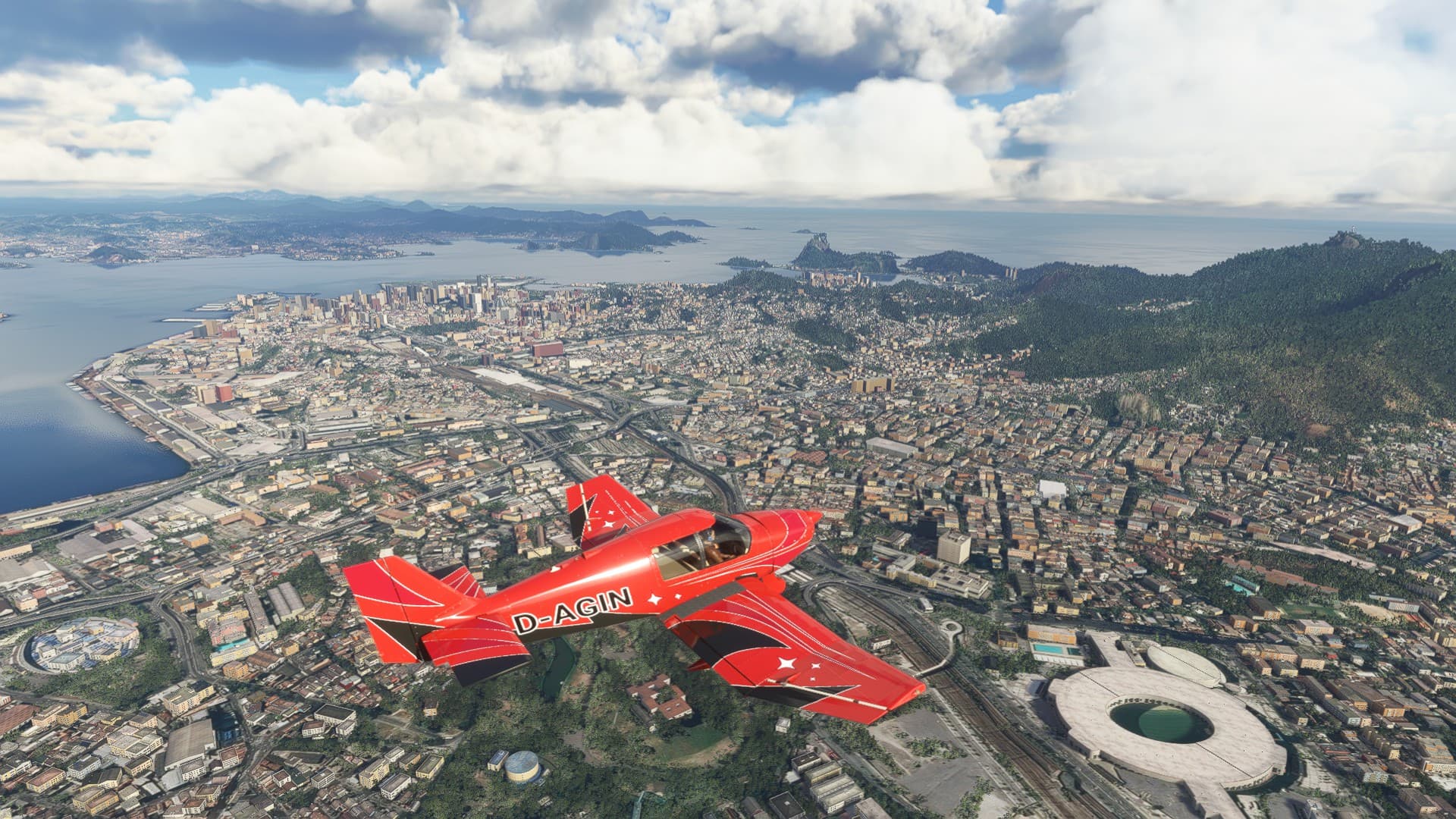
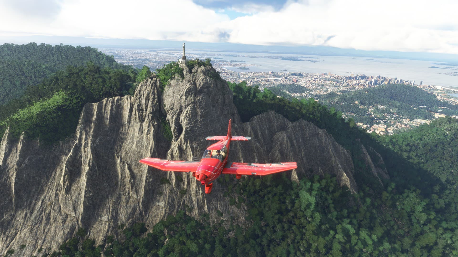
To the left you can see the Sugarloaf mountain, to the right there is a pretty famous statue.
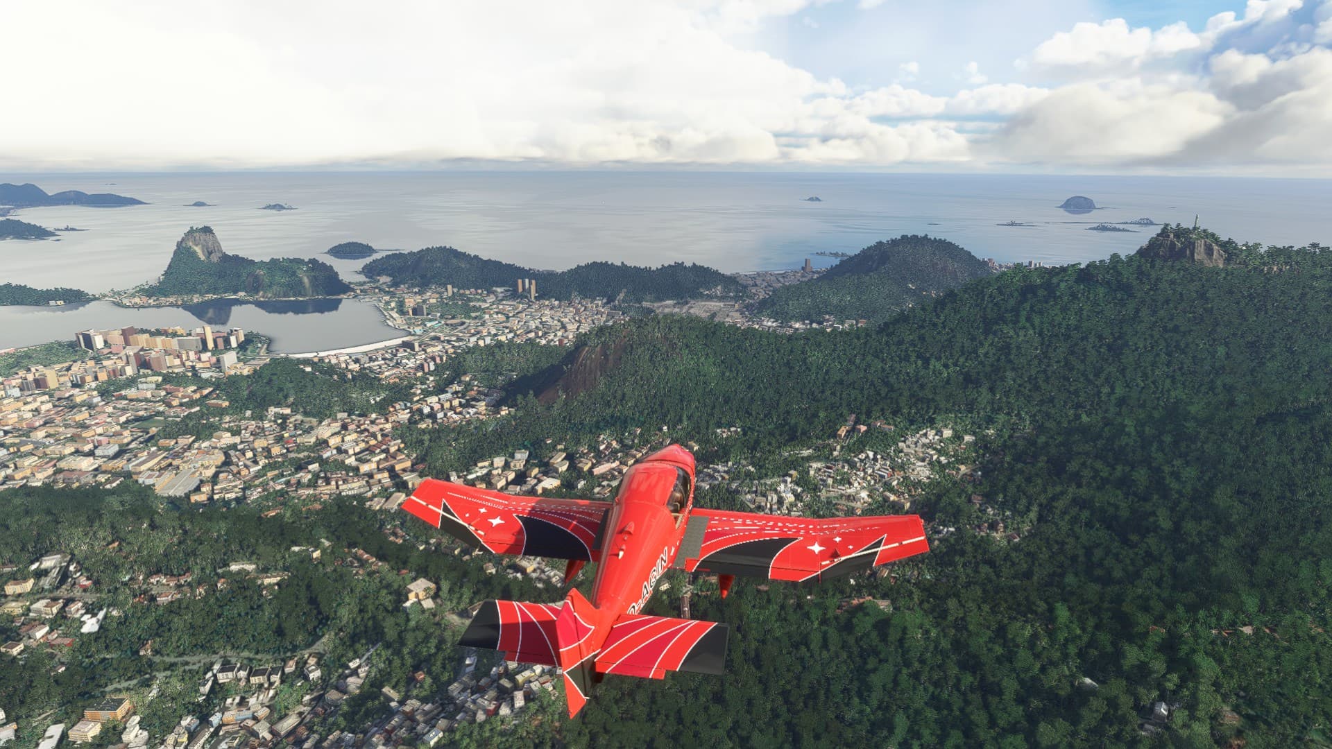
I’m not religious, but that’s a pretty impressive piece of art right there.
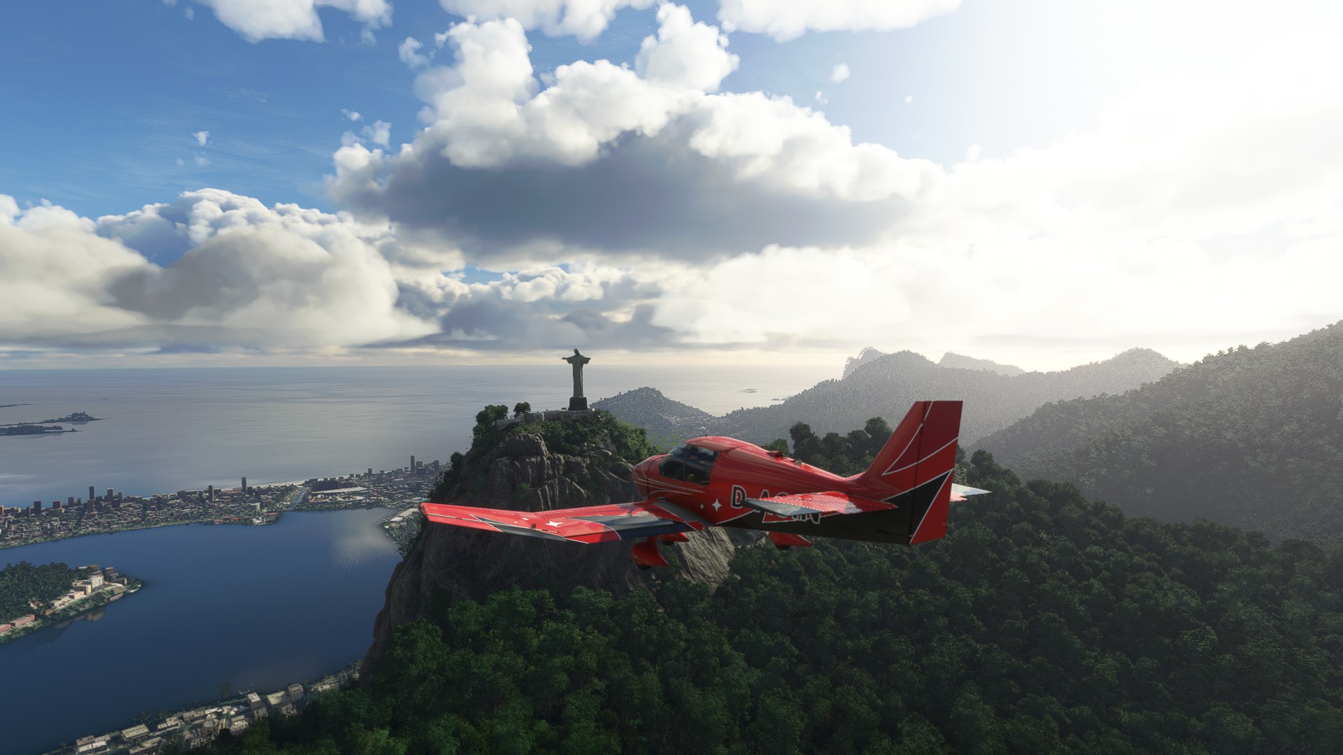
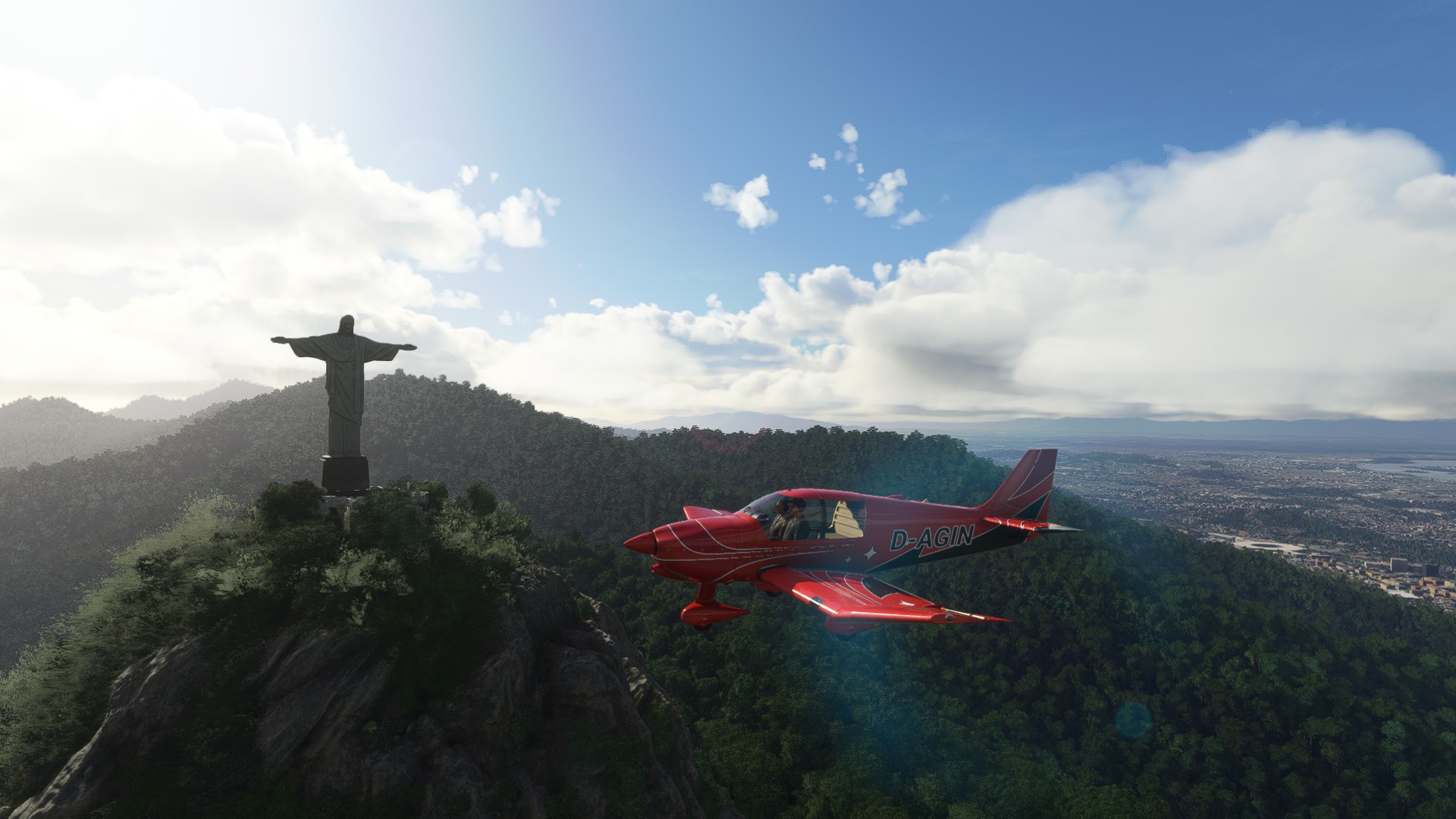
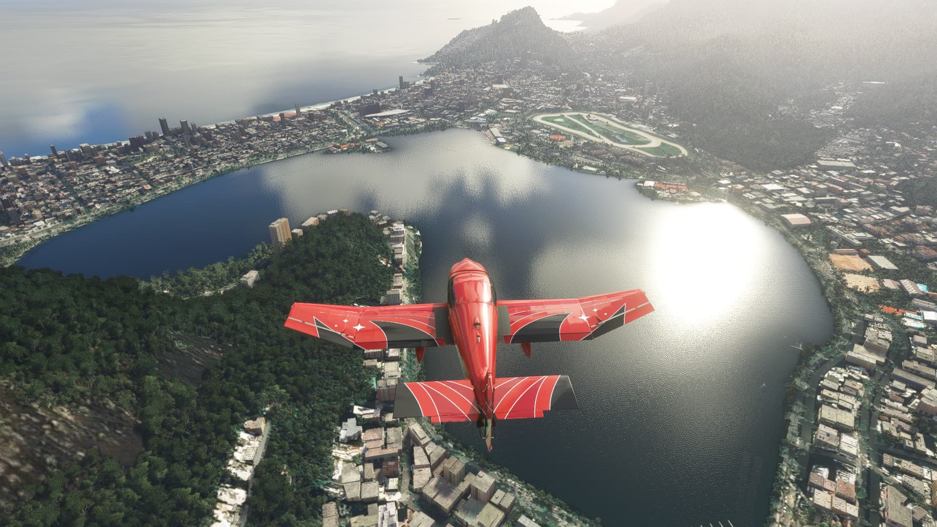
The Lagoa Rodrigo de Freitas, and the horse racing track.
Now I’m at…
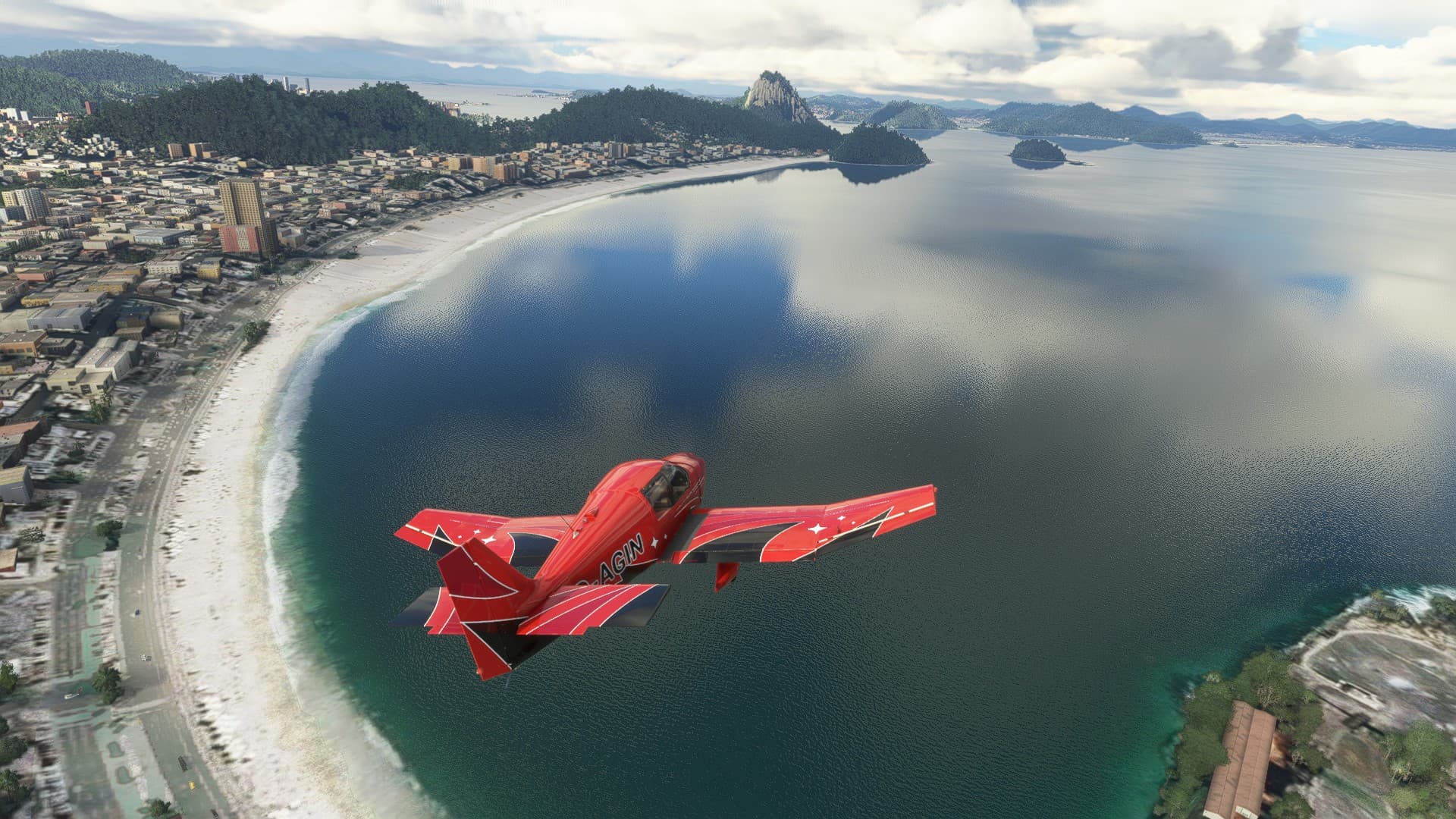
…The Copa, Copacabana… 
https://www.youtube.com/watch?v=XDR247fmhnc
The Sugarloaf again, looking toward the Guanabara Bay.
The Sugarloaf itself is made of Granite, which is why it is still standing (Don’t worry, I’m not posting the Elton John song). The softer rock around is has long been eroded. It is a bit less round than in real life, but it is there and has the correct size at least.
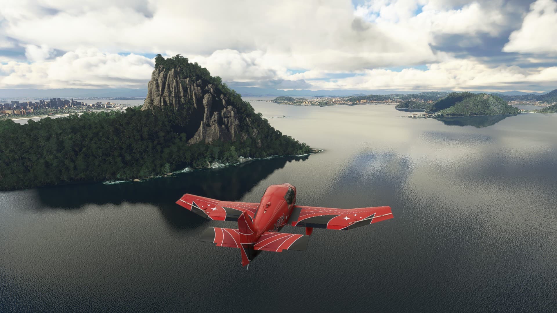
The eastern shore of the bay. Somewhere down there is a famous museum of modern art.
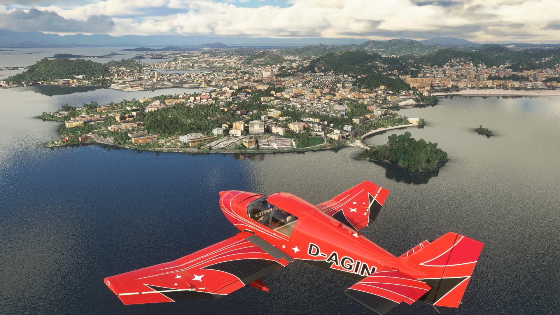
On a lazy landing curve toward Santos Dumont airport (SBRJ).
In real life I’d probably not land there, it has a lot of traffic. But hey, it’s a sim and right now there isn’t a lot of traffic here.
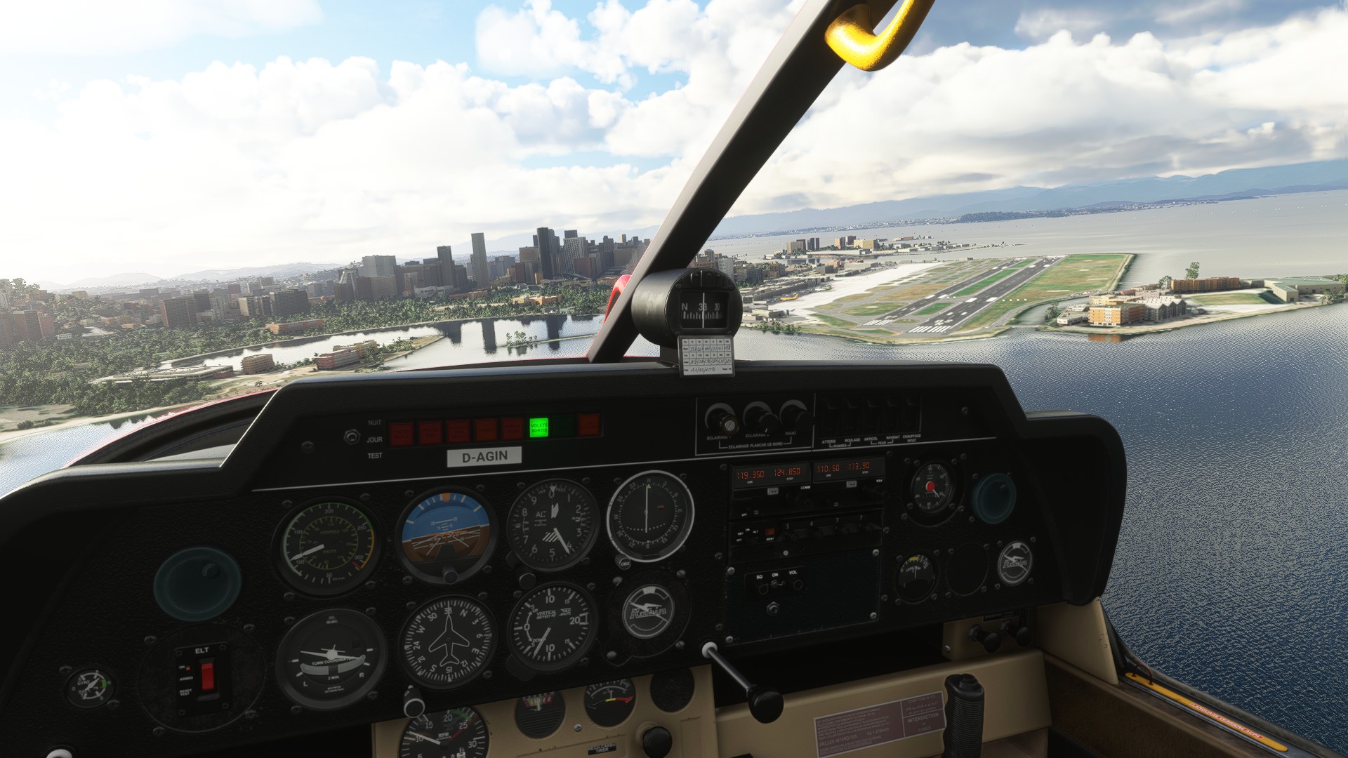
Now I only need a taxi back to SBGL where I parked my Citation…
7 Likes
Great job everyone! Awesome pics and reports.
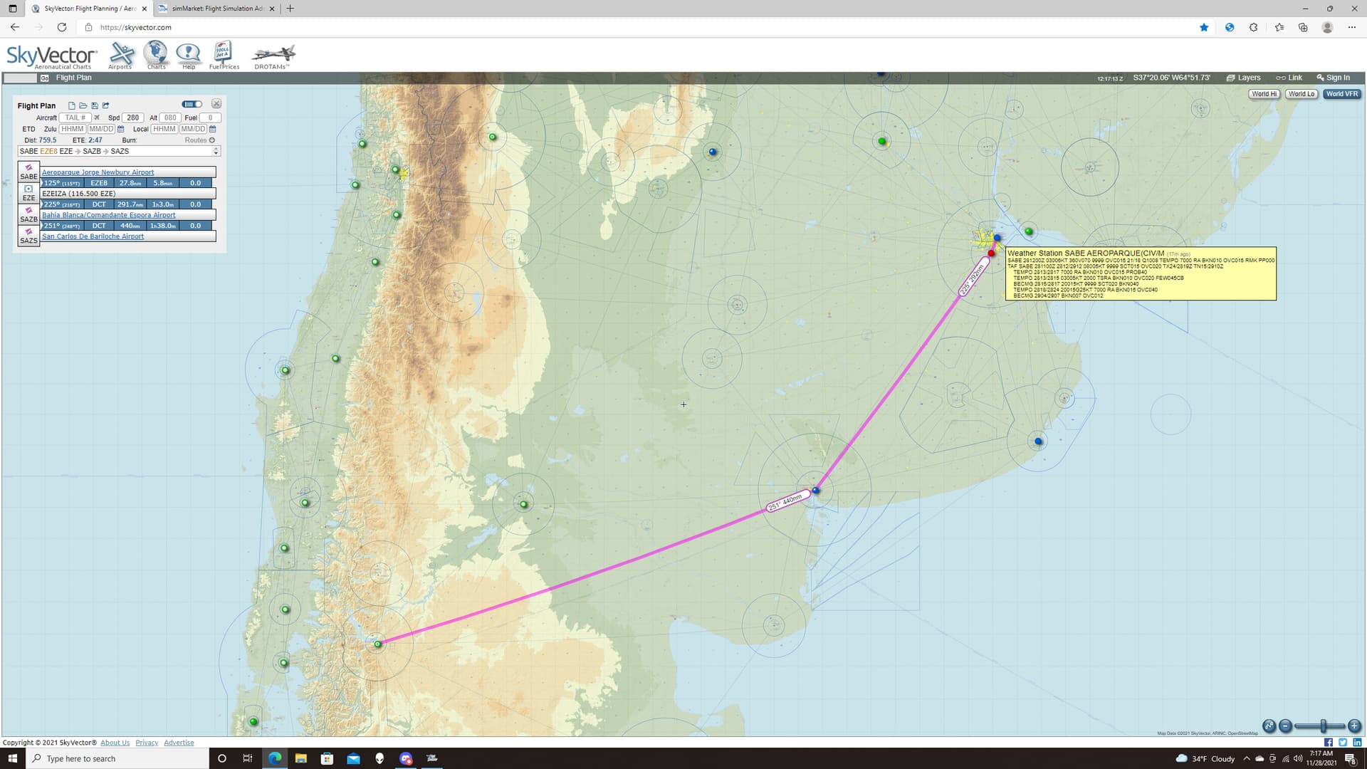
Leg 26: Aeroparque Jorge Newbury Airport, Ciudad de Buenos Aires, Argentina (SABE) TO San Carlos De Bariloche Airport, Rio Negro, Argentina (SAZS)
OR
Can Deacon Keep Himself from Pushing the Button?


How Much More Complete Would Deacon Be,

Another unexpectedly interesting flight.
I had wanted to get back to the west side of the continent since the mountains always make for interesting flying (sometimes more than I bargain for!  ).
).
This leg was a modest 759NM. Only two VORs were available to me, but by now I had come to trust the fact that there was little wind aloft in MSFS and Dead Reckoning would serve me well enough.
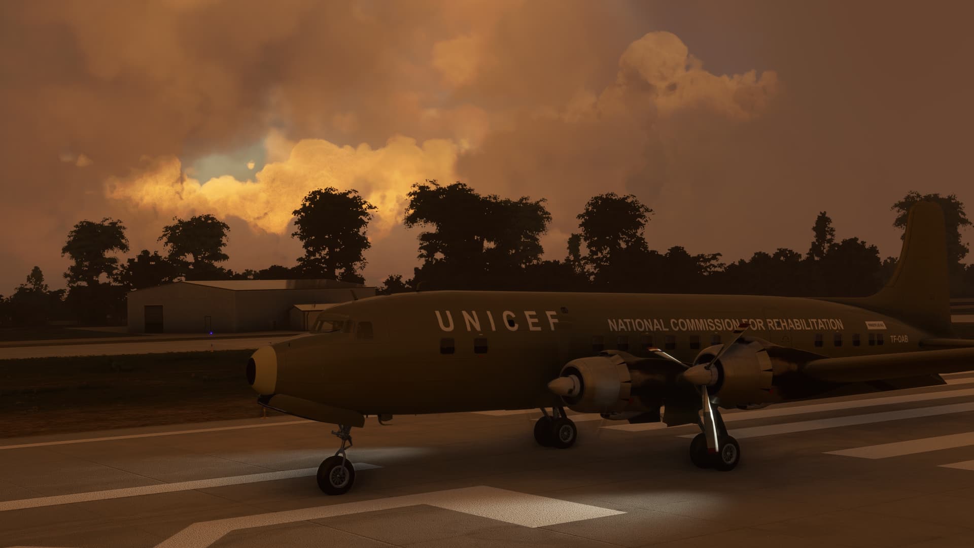
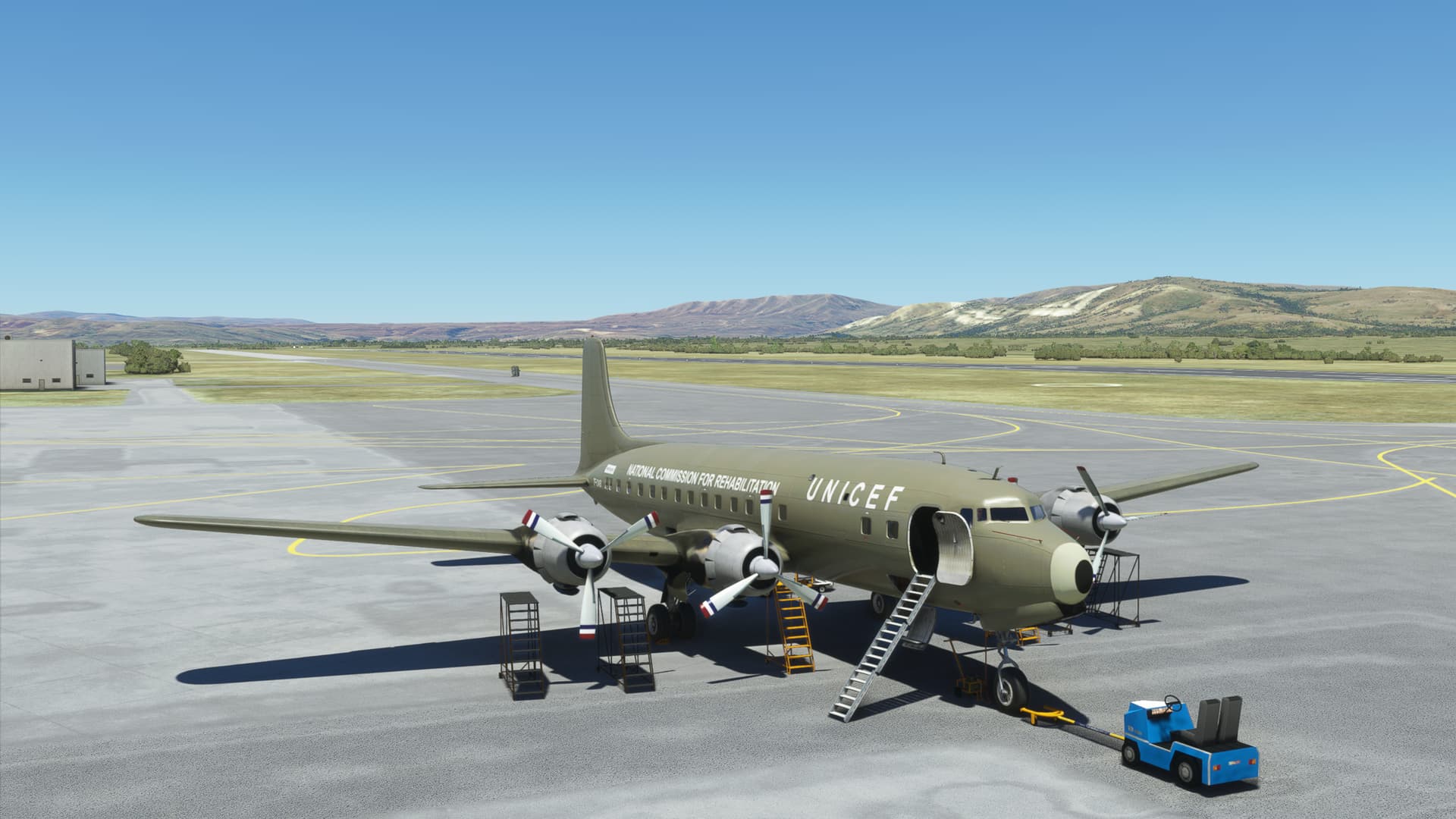
This time I chose a UNICEF livery by TiAr. UNICEF does some great work and they certainly deserve more than my token recognition here. Their actions reflect the true meaning of the season.
I won’t make this any longer by posting the history of this livery here, but it’s a cool read.
Biafran Airlift DC-6B Fragtflug Iceland TF-OAB | 1970 » Microsoft Flight Simulator
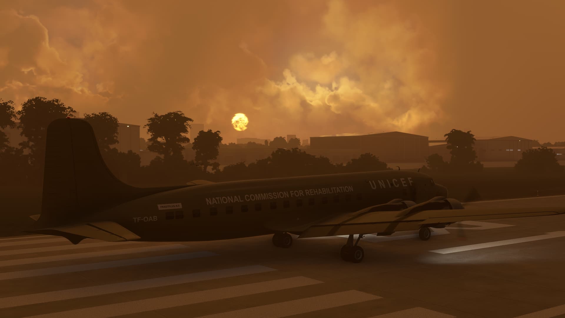
As you can see in this shot, the number 1 engine wound to a stop on initialization. This isn’t the first time this has happened in MSFS, so I wasn’t concerned (probably unwise). I CTRL E’d the engine back to life and pressed on…as one does. 
The weather looked like it was clearing from the earlier forecast and the destination was VFR.
What could possibly go wrong?
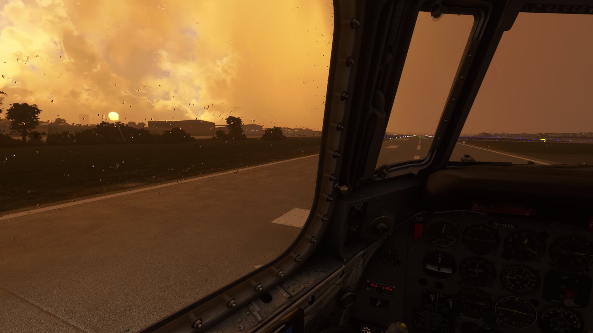
Here we go!
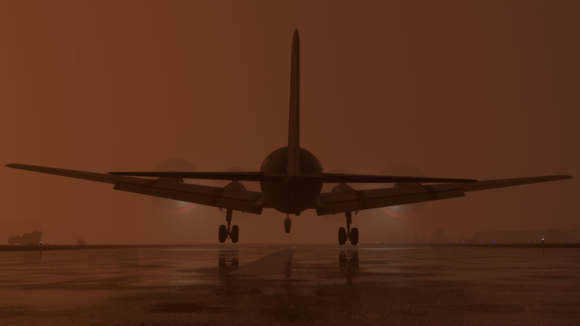
I turned southwest over the (I’m going to try my hand at translation here) Antonio Vespucio Liberti Memorial Stadium.
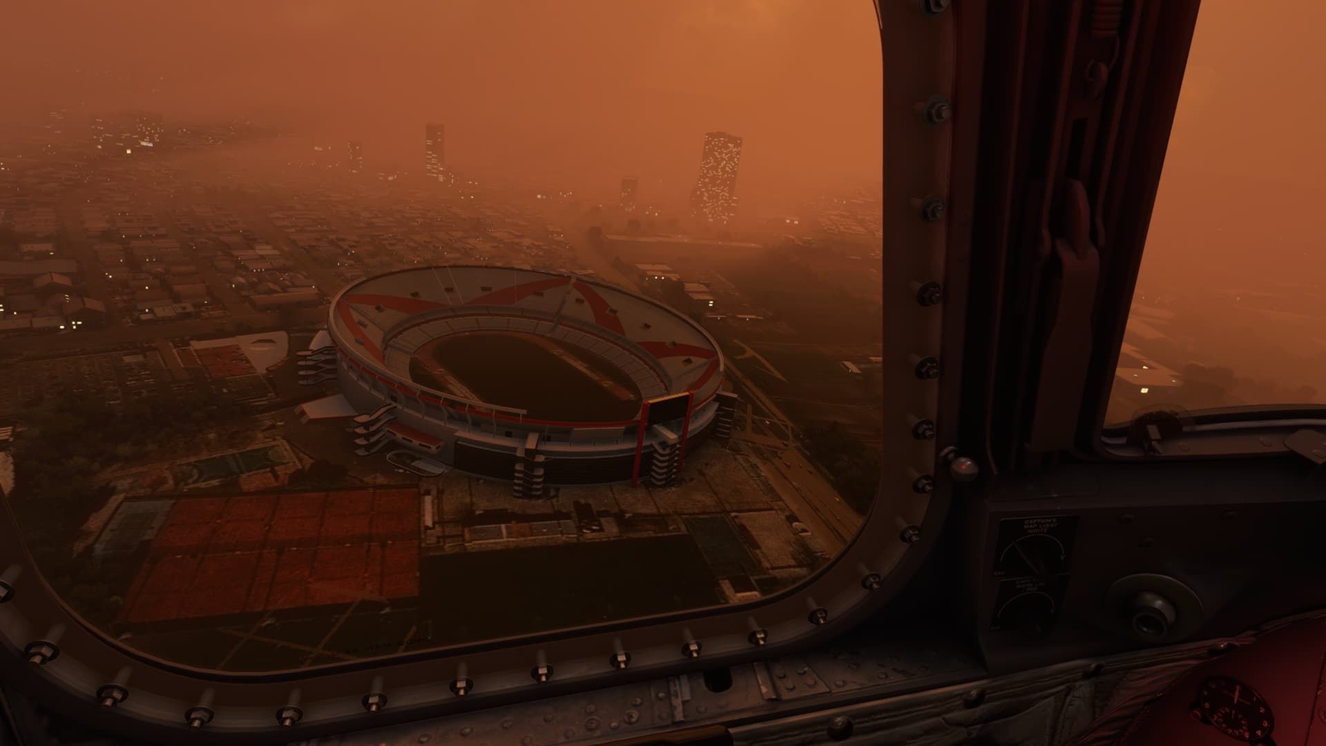
Spent a good deal of time dodging clouds on the climbout and intercepting my outbound radial from the Ezeiza VOR (EZE). If you look closely, you’ll see what I missed at this point.
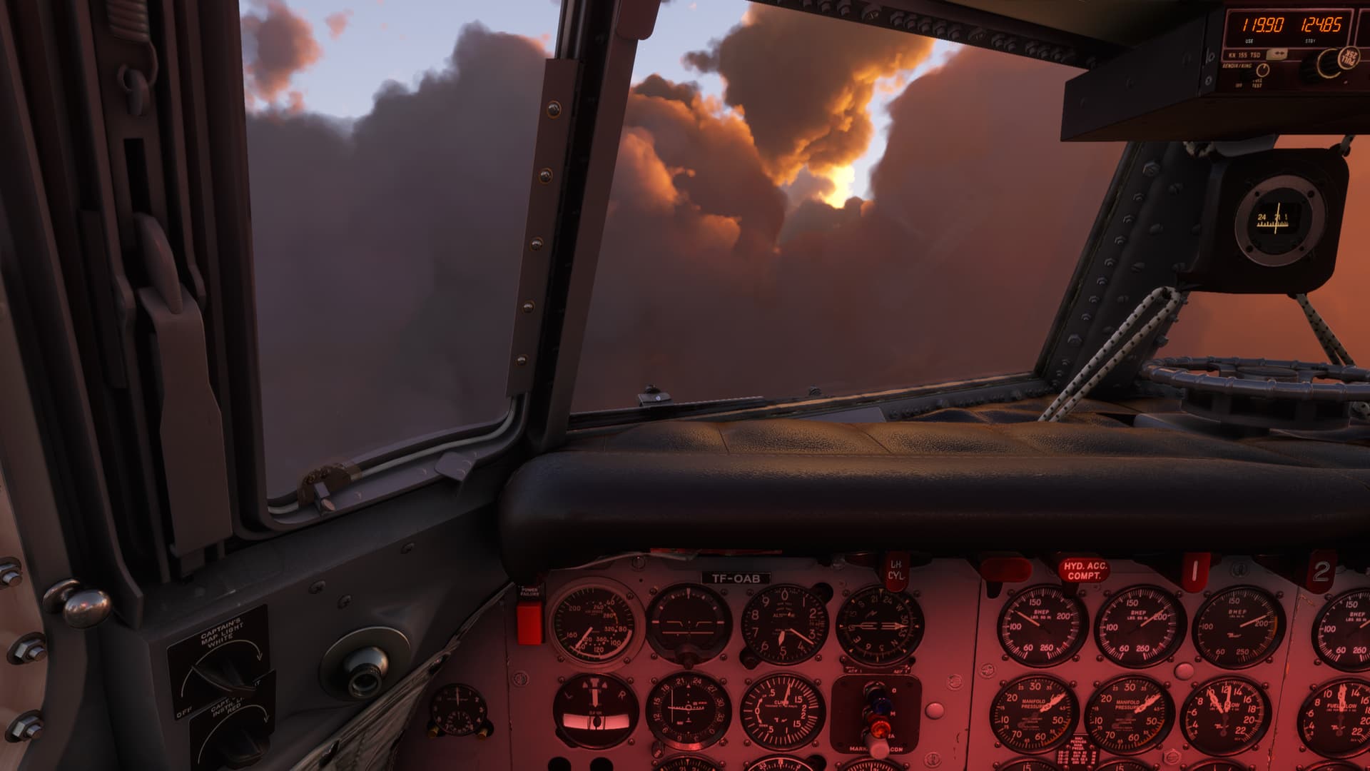
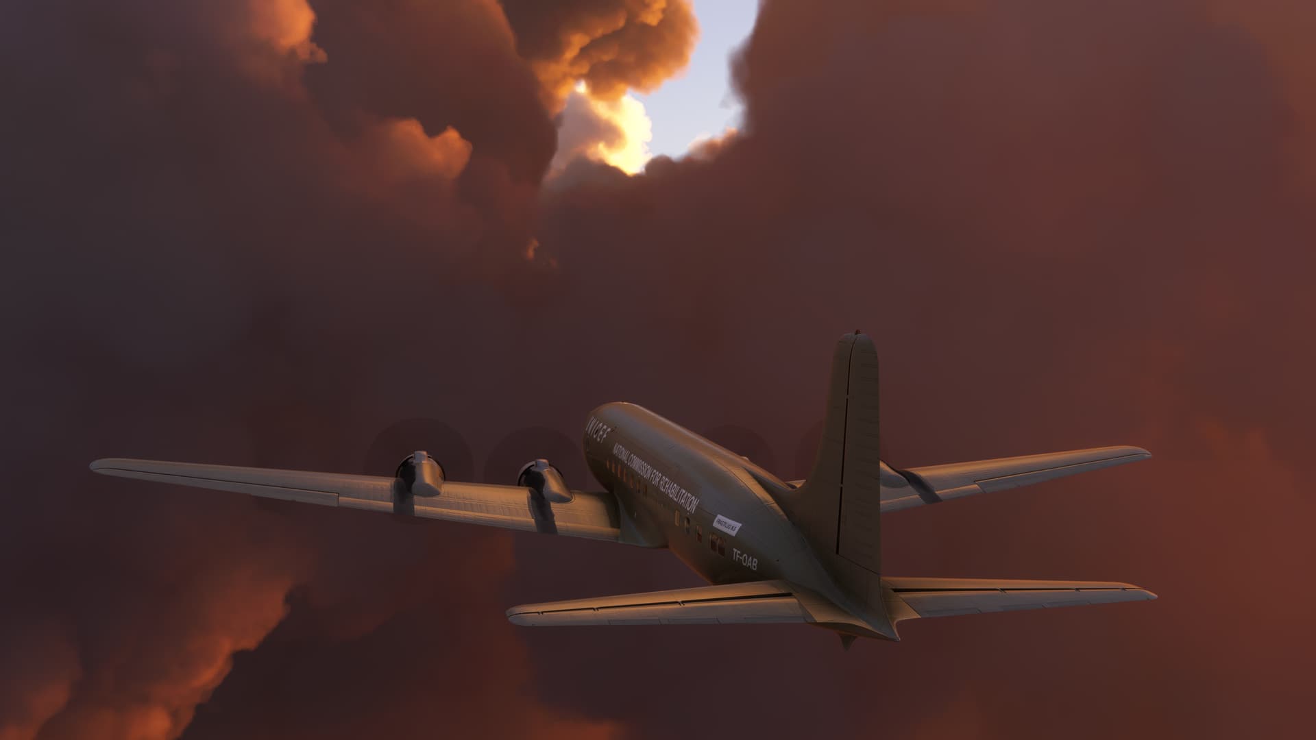
I started getting into some icing and tried to find all the anti-ice controls scattered across the cockpit. Looking down, I noticed the number one engine indications.
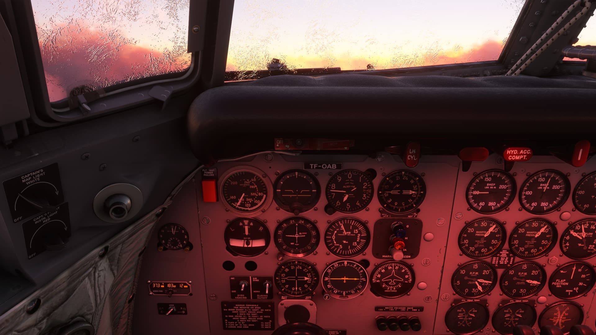
So, you can see here that my MAPs are pretty much straight across the board, which I would take to mean that my engine is still taking in air, at least. There’s also Fuel Flow, Oil Pressure, and CHT. Dare I say the engine is still…running?
But my BMEP (Brake Mean Effective Pressure) is less than half of the other three. It’s a value that I am only tangentially familiar with, but I lean towards understanding it as torque. So, the engine isn’t twisting the number 1 propeller as much as the others.
The culprit it seems to me is the number 1 prop RPM, which looks pegged at high RPM. In fact, though you can’t see it in this picture, the blue RPM High/Low Limit light is on, indicating that the RPM governor is somehow not controlling the RPM and the prop has travelled to its (High in this case) limit stop.
So, I’m thinking that it’s more a prop issue than an engine issue.
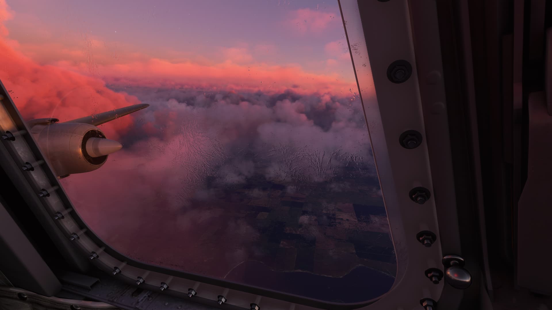
At this point, I’m really cursing my lack of complex recip experience. I’m substituting my, now ancient, UC-12 systems knowledge where I can.
The prop governor should automatically feather the prop should I lose power, IIRC. But the prop wasn’t feathered. It was running above it’s cruise limitations, but it wasn’t overspeeding to the point where it was coming apart. I recalled that in recips, it was bad for the props to turn the engine.
So, maybe I should shut number 1 down. I reached for the Prop Feather button…

But, the engine was running it seemed to me. And the RPM limit stop had kept the prop from slinging blades. Do I really want to shut down a working engine in case something else happens?
I put my hand back on the throttles and pressed on.
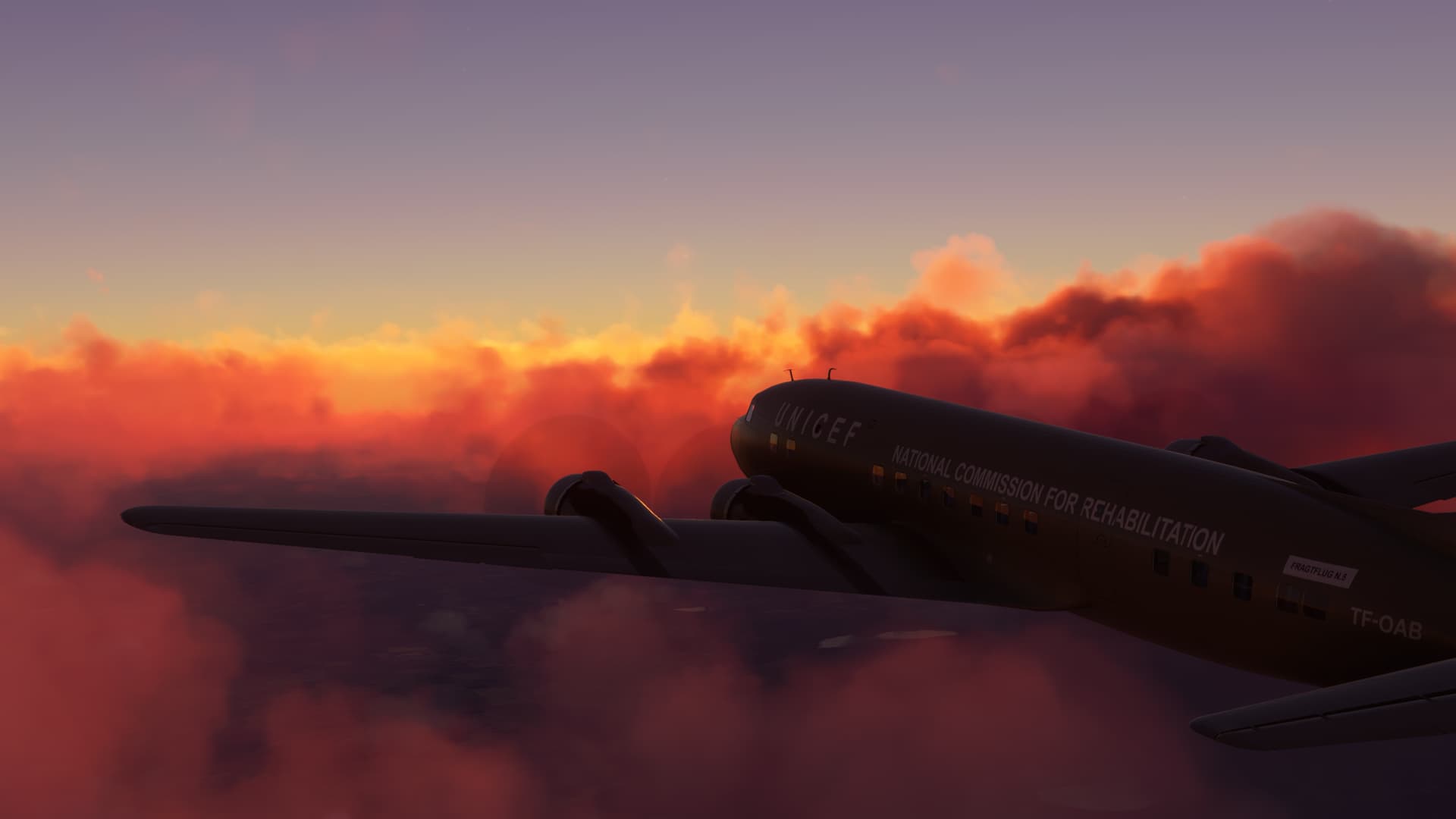
As the Sun was setting, I levelled the aircraft off. The other thing that was striking me was how unaffected the aircraft seemed to fly, despite the practical loss of an outboard engine. Even with Otto flying the plane, the aircraft flew straight and level with almost no need of trim.
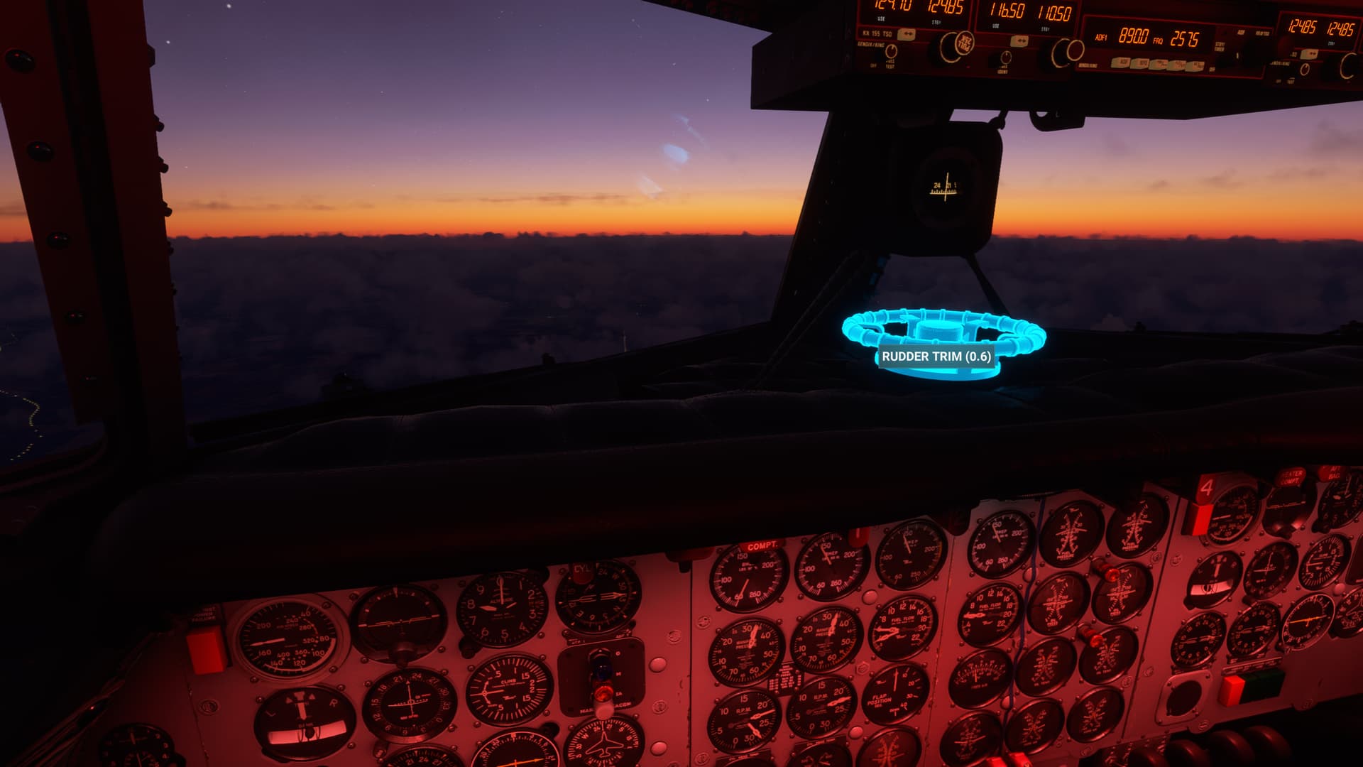
Hmmm, maybe I should get back to navigating at some point.
Bahia Blanca VOR (BCA) was my first, and only, checkpoint.
I picked up a good strong signal and tracked inbound. As the sun set, you can see the city passing under the nose.
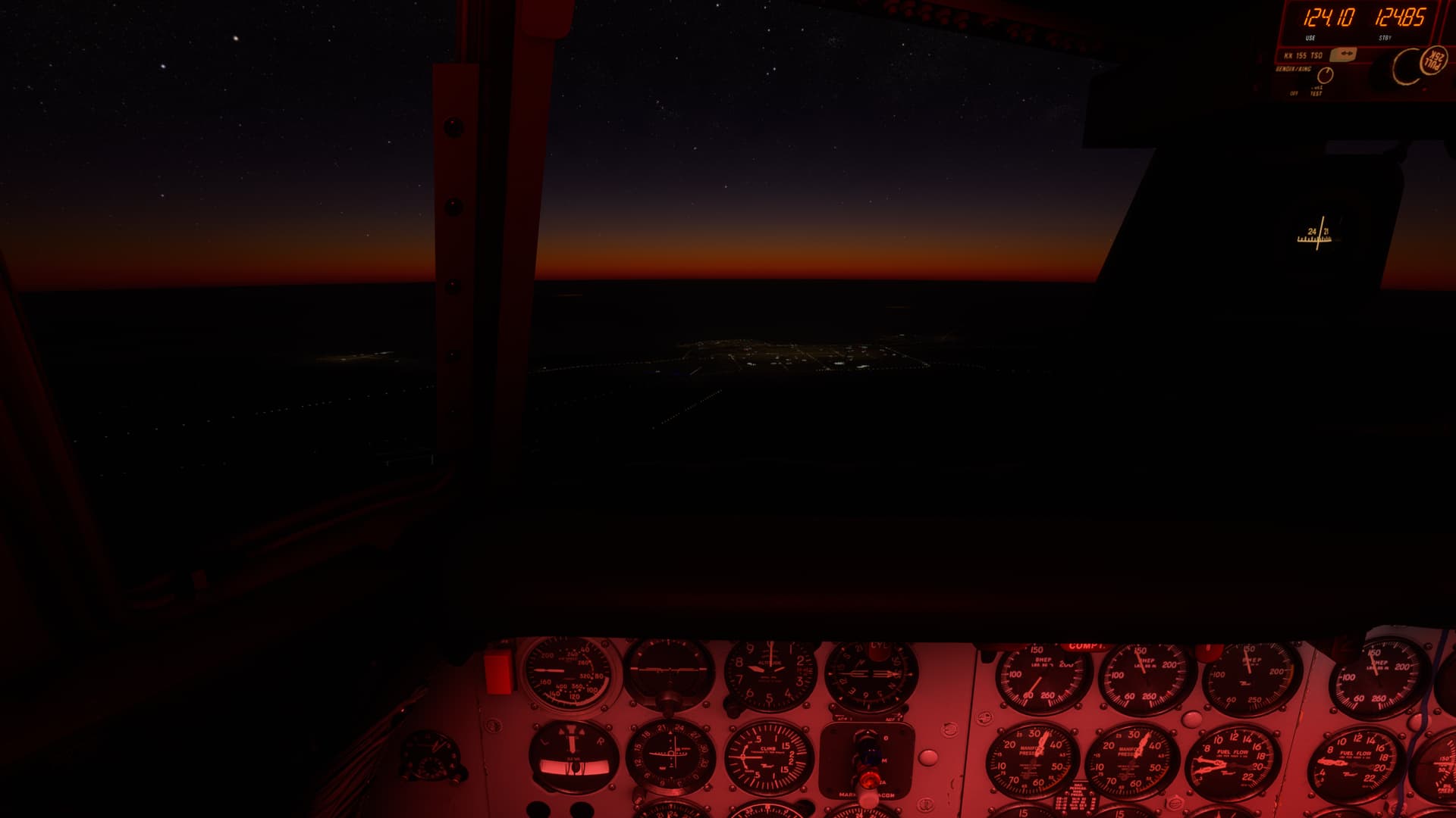
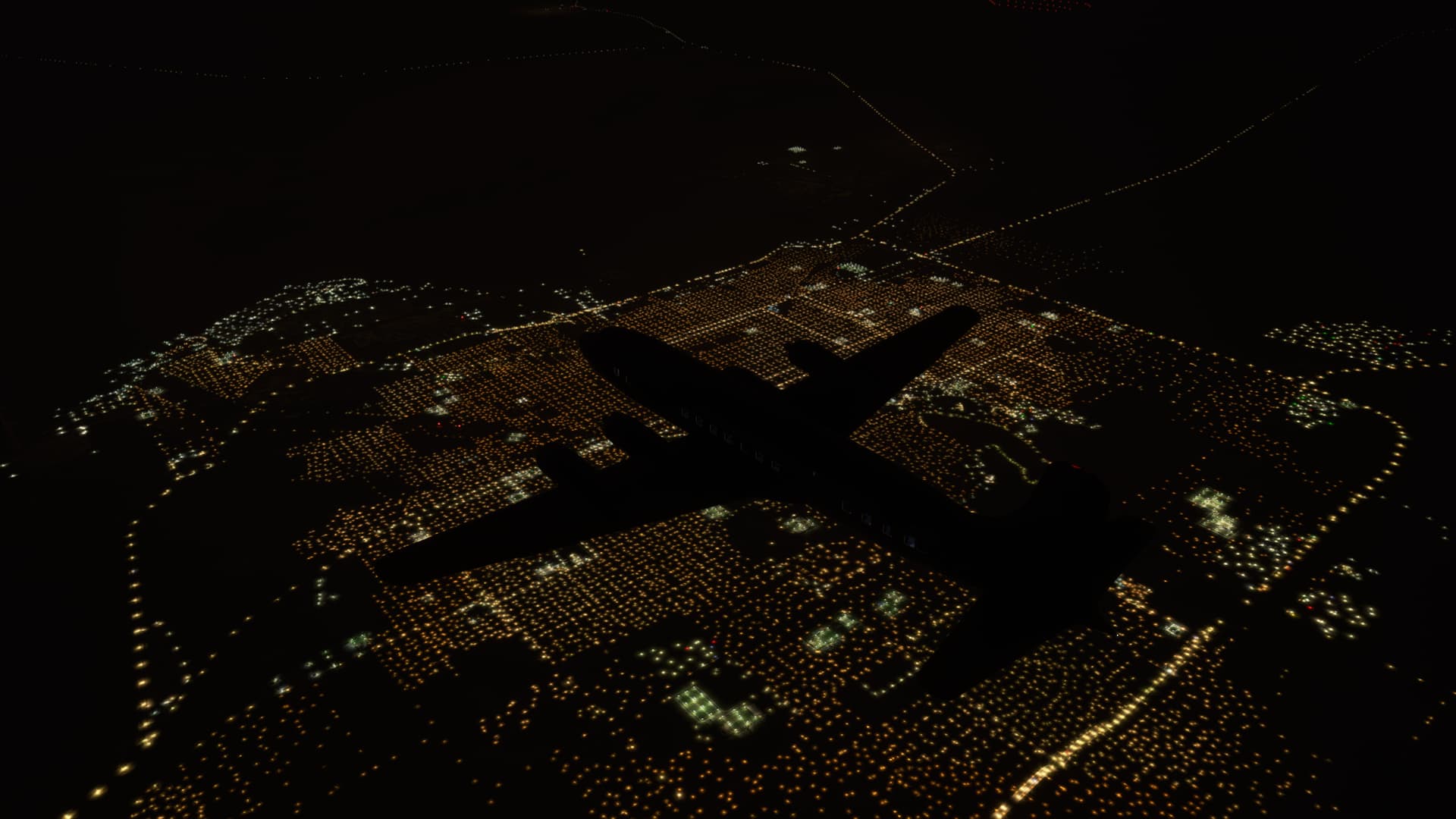
It seems that the only two high service volume VORs are here, on my route. I tracked the VOR for about 180NM on either side of the station.
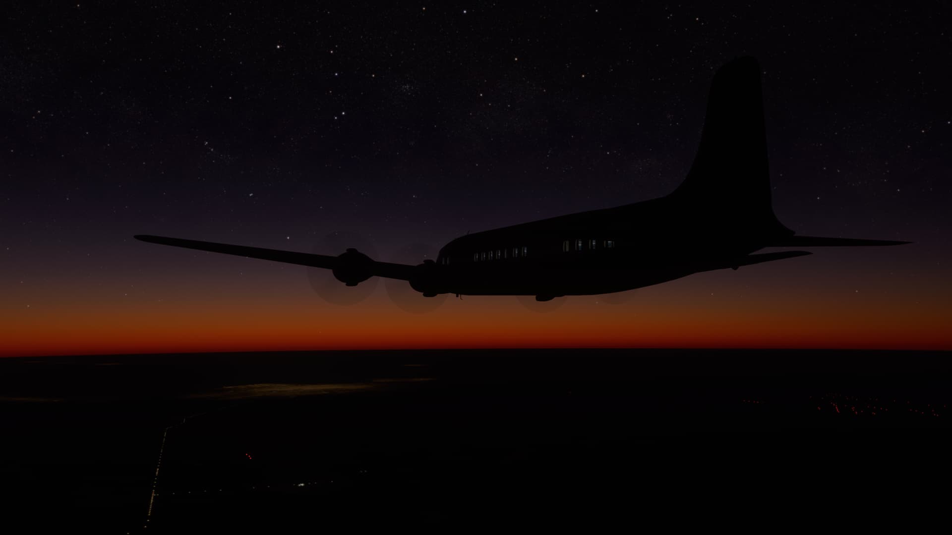
Suddenly, somewhere south of BCA the airplane gives a sickly wallow. Has the prop finally given up the ghost?
I reached for the Prop Feather button…
But the old girl settles down. The needles swing a bit, but soon everything is quiet again.
Once again, I pick up the station, San Carlos de Bari VOR (BAR) this time, over 170NM out. I think Argentina needs to spread the wealth in the NAVAID department a little bit. But who am I to complain?
I’m approaching the Top Of Descent (TOD).
Can I actually get through this entire flight without pushing that Prop Feather button?
NO I CAN’T!!!

I push the button.
I’m not certain what I expected.
But it wasn’t, nothing.
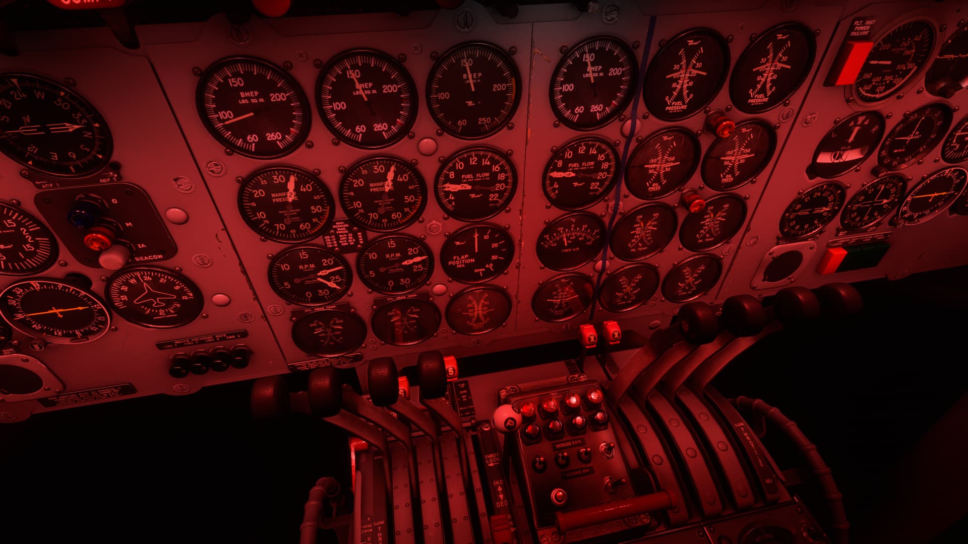
Surely, I have practiced feathering the engine in the Kingair or, much more frighteningly, the Seminole and there was little doubt in my mind at the time that I had previously had two engines, and now suddenly had one.
But the Douglas soldiered on like the Rock of Gibraltar. Moreover, not much changed about my situation. The BMEP dropped a little and the fuel flow matched a bit more closely. But significantly, my RPM dipped briefly but then came right back up to its previous setting.
I didn’t know that feathering the prop was an optional compliance item.
Should have pushed that damn button sooner!
Anyway, all that was anticlimactic. I descended gingerly into the San Carlos area. It looked like the mountains were further north, but that was one big, black hole I was descending into.
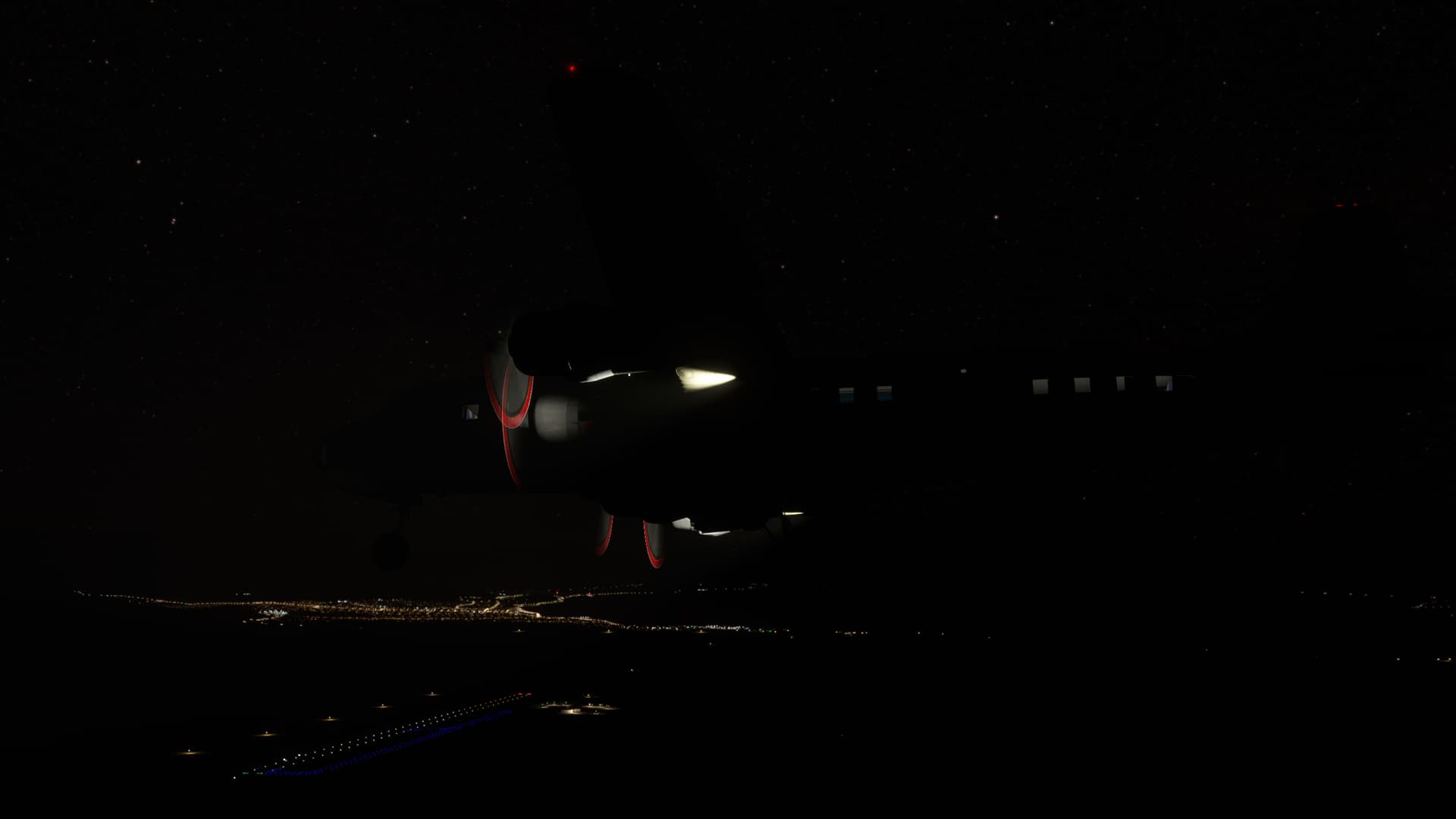
After much thought and study into how to get down to San Carlos whilst avoiding the hills, I came to realize that I had planned for a tailwind landing…and had to just dump it into the field. 
Here I am, dropping out of the sky like a rock. You ever see the guy you’re flying with surreptitiously brace for impact out of the corner of your eye?
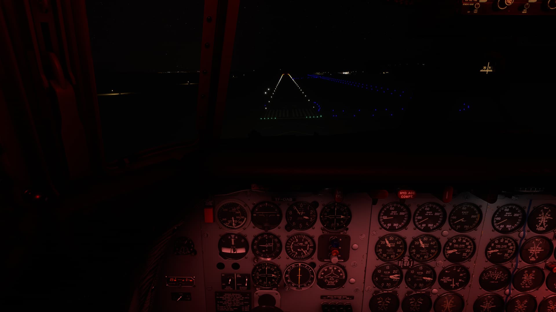
Unloading the next morning, I saw by how little I had missed the terrain
Well. That was interesting. I have no idea if the RPM issue was a bug or feature and I don’t know quite why the prop never feathered. I was sort of making it up as I went along.
But it was fun spending the time at altitude rereading the manual and straining my Recip knowledge. 
12 Likes
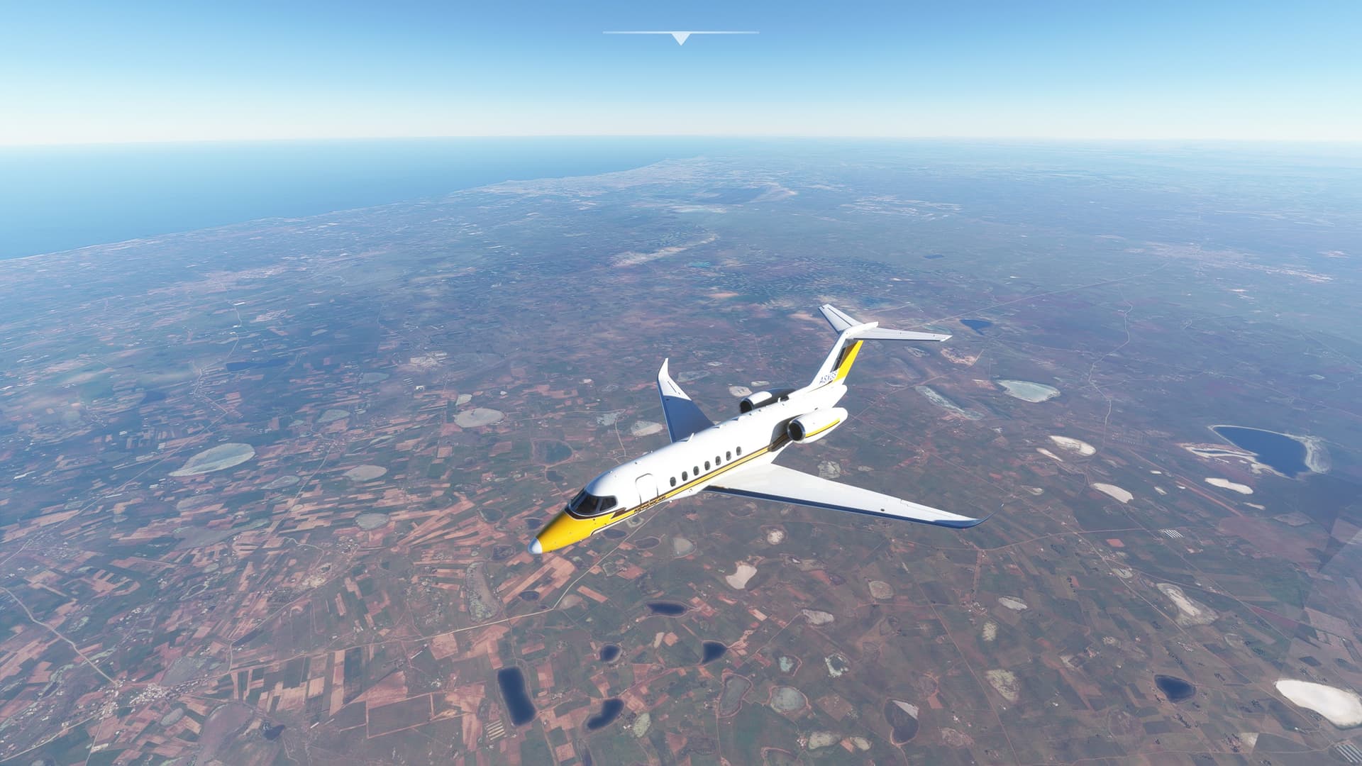
Slightly less exciting flight, Casablanca to Las Palma. A slight detour for some later Volcano sight seeing, in a smaller plane I guess. I switched from the King Air 350 to a Citation Longitude as I did want to spend less time flying over water, essentially.
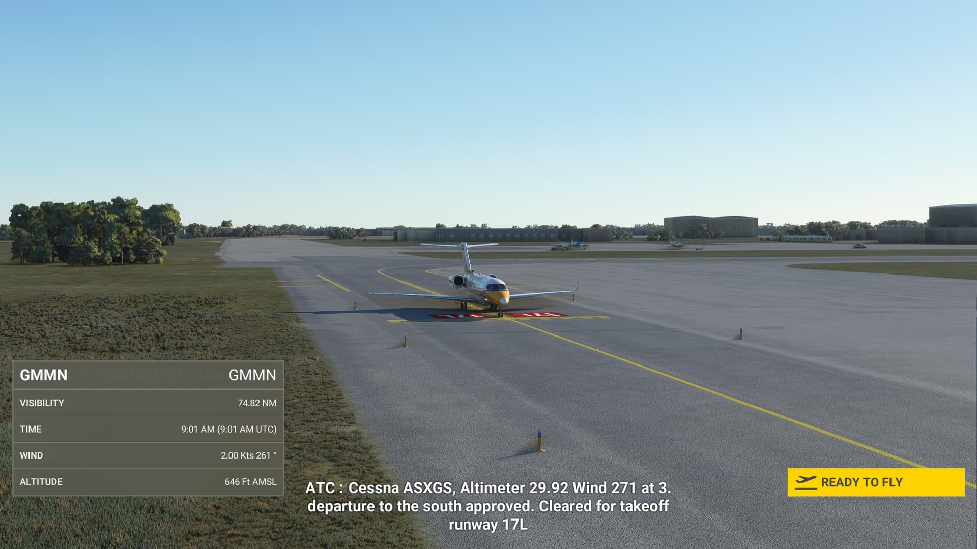
Quite a different in climb rate! The twin jet engine beats the prop driven King Air by a magnitude.
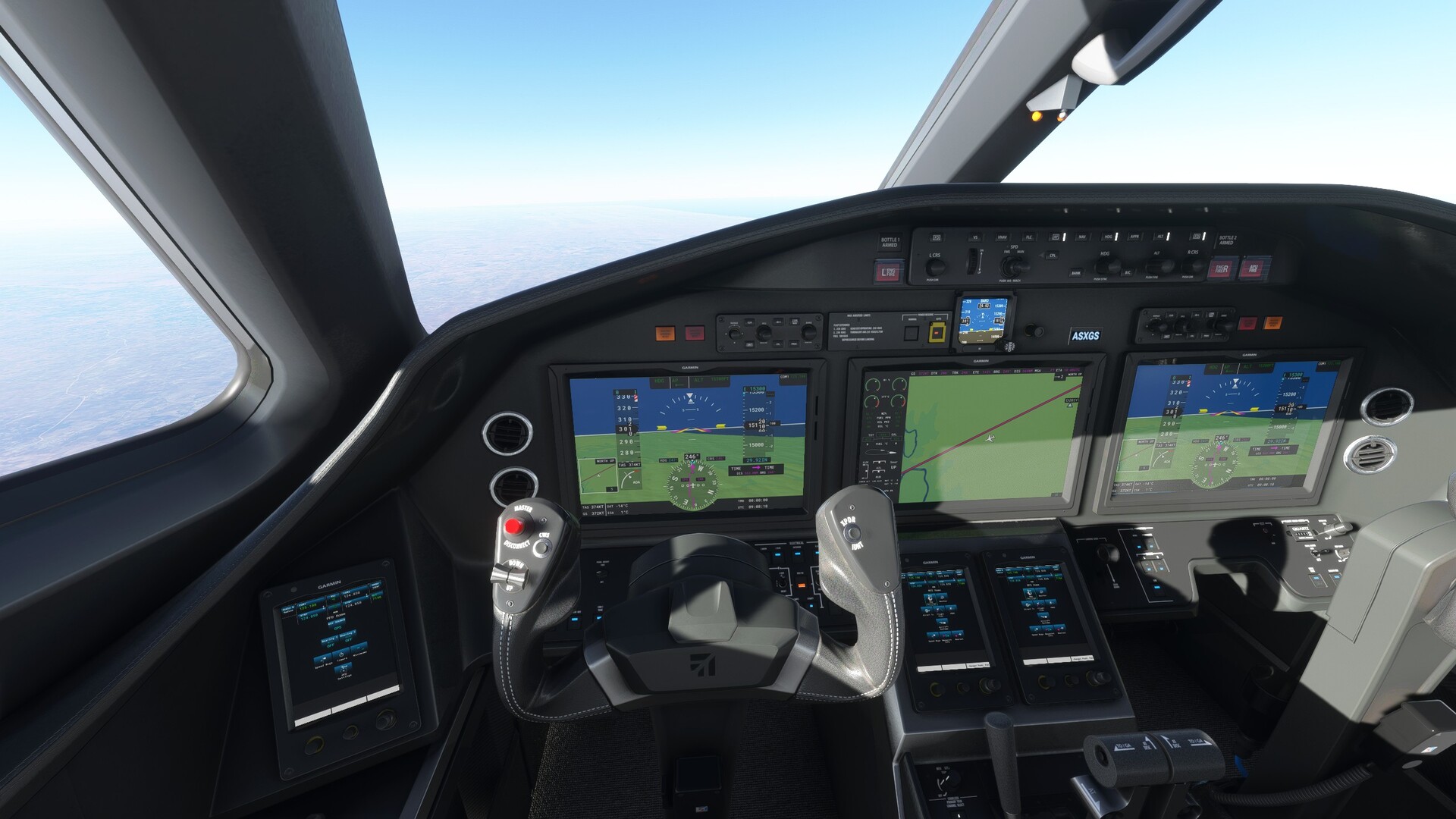
Spent some time to figure out where the autopilot buttons are and detected there’s little difference. Only I could not get positive vertical speed dialed in…
Leaving the African mainland behind.
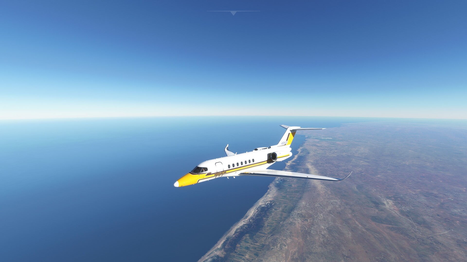
After an uneventful flight of roughly an hour under the bright African sun, the contours of the Canary Islands are visible.
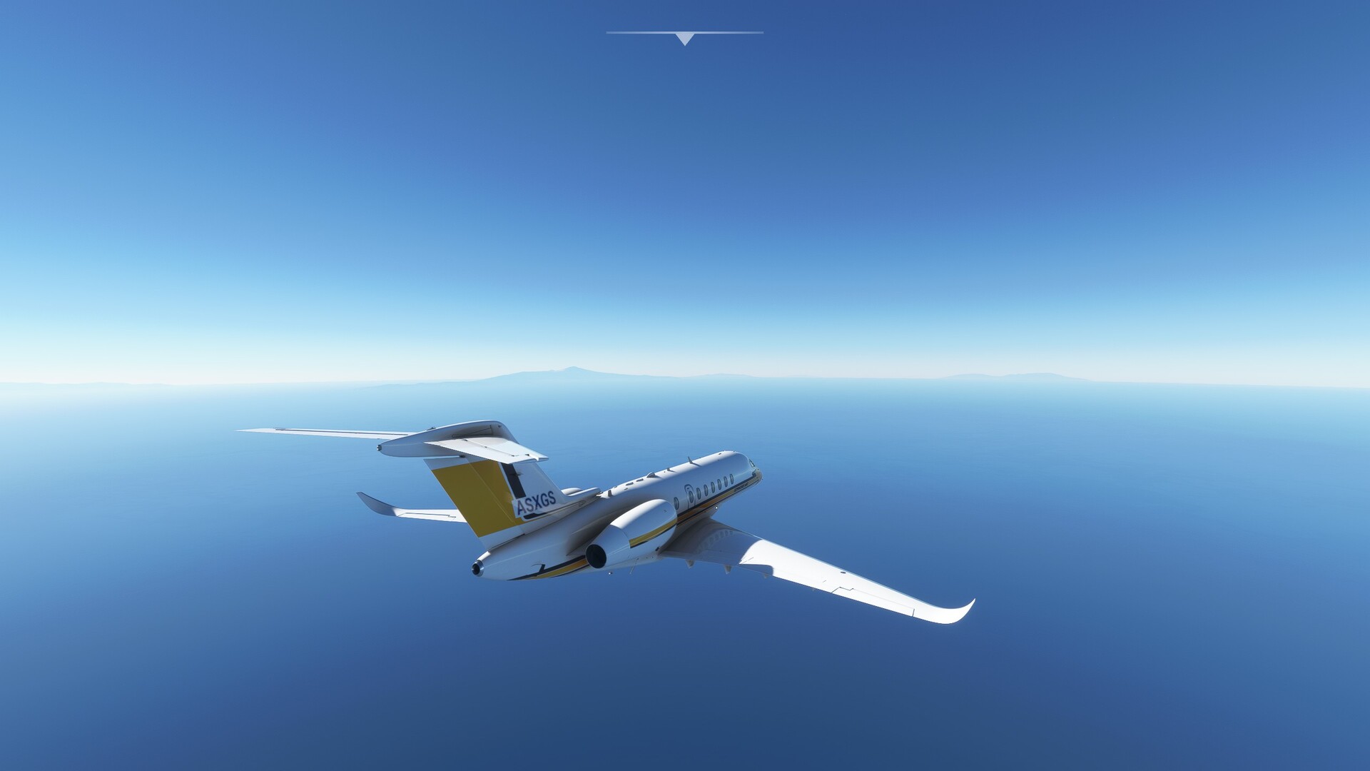
My target island in the sights.
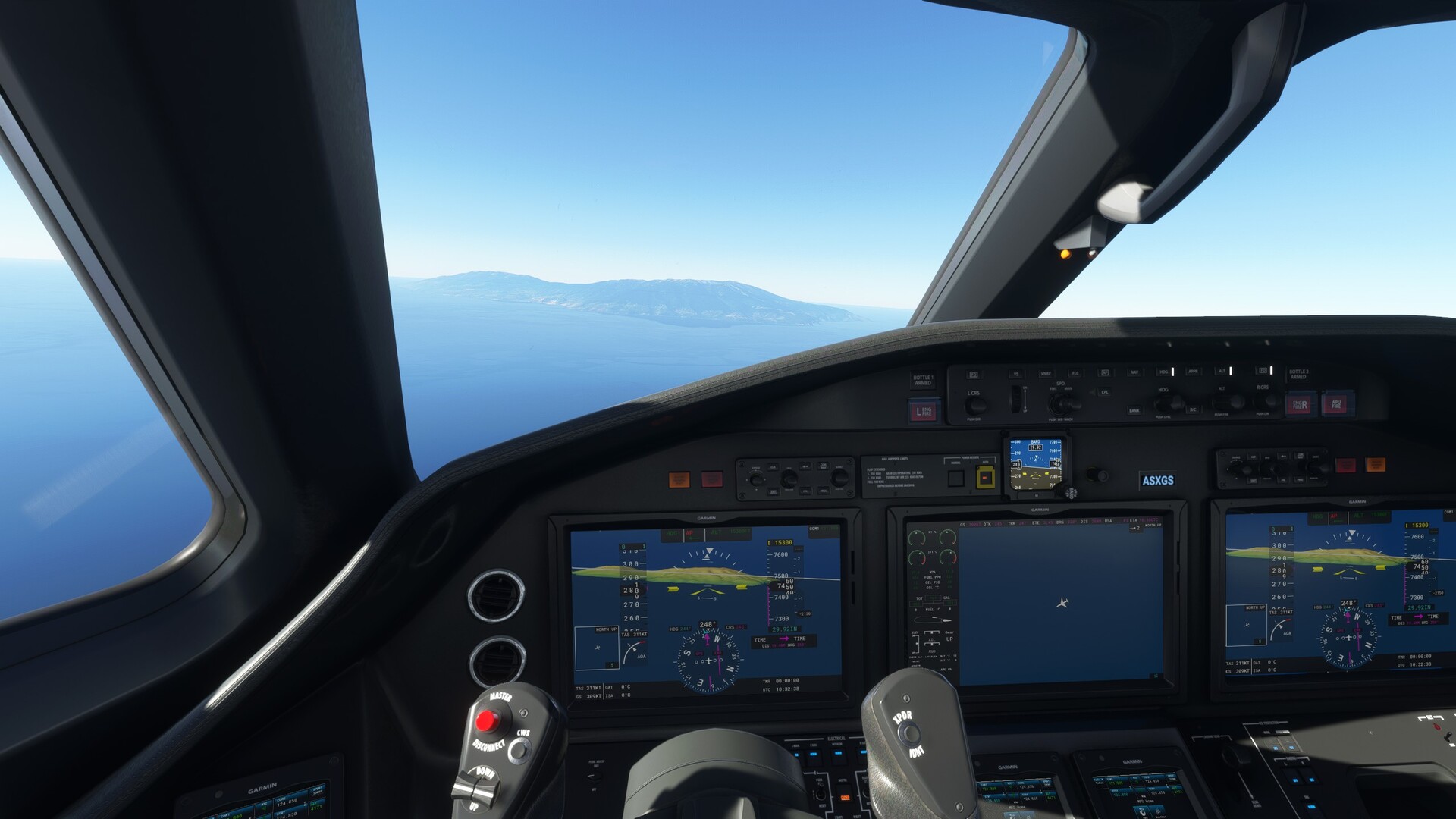
Picking my approach to the airfield low and slow…

Slightly missed the apex, err, approach.
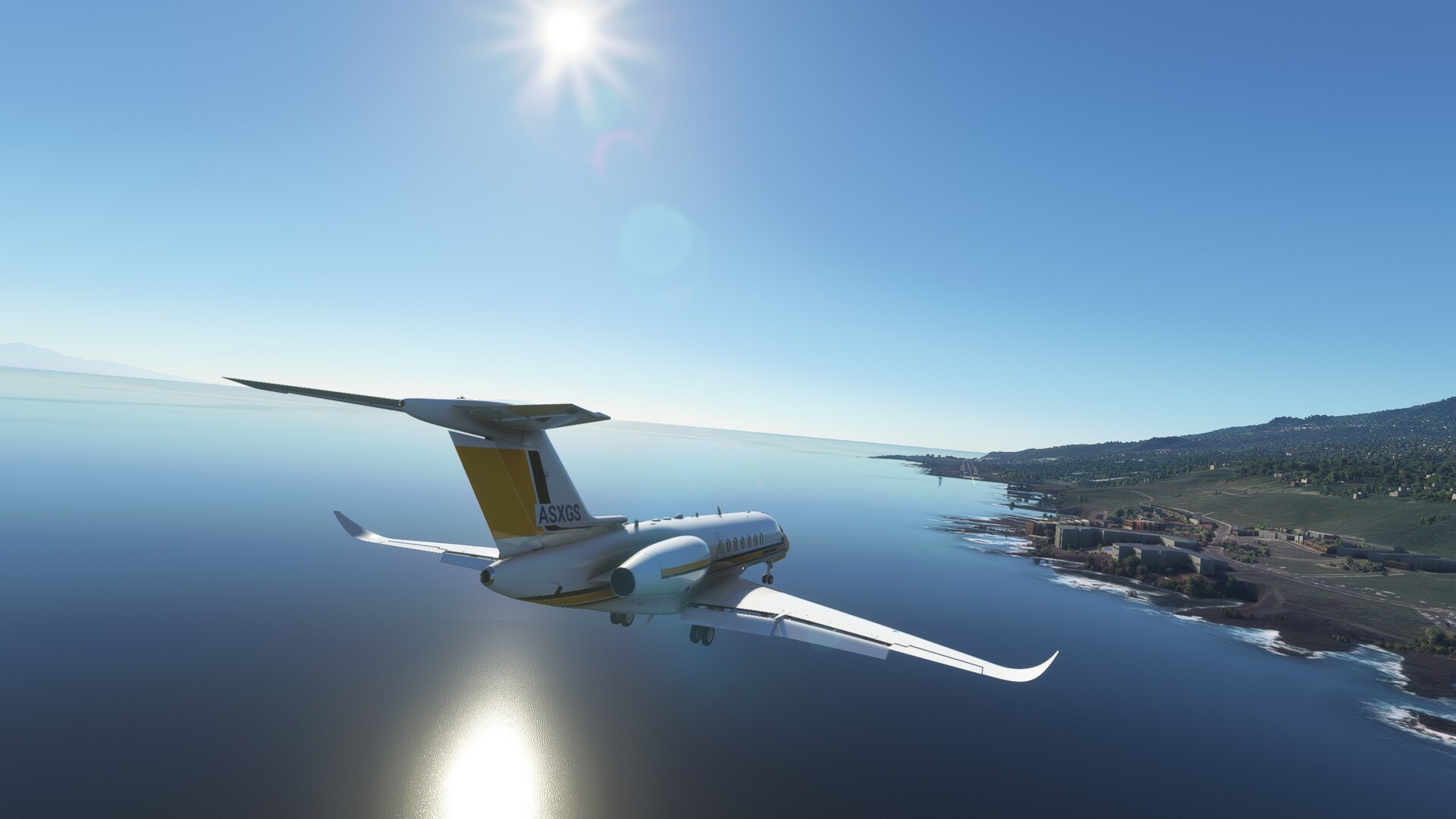
No idea where my parking spot was intended to be, but this one is mine now.
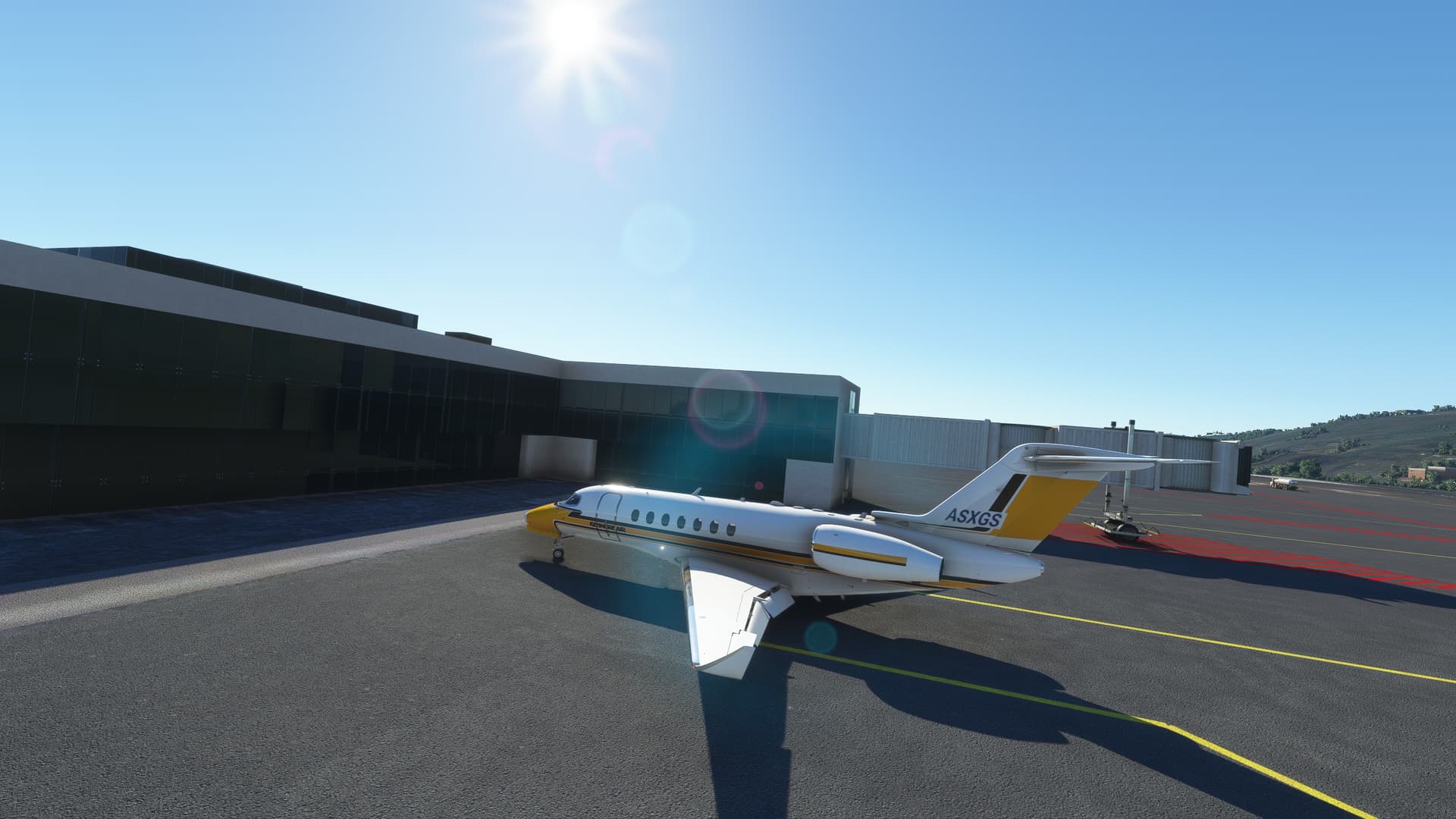
Next up I will either do some sight seeing over the Canary Islands, or go back on my planned route to Dakar.
Cheers,
TeTeT
11 Likes
PAKL (Kulik Lake) - PANC (Anchorage Intl)
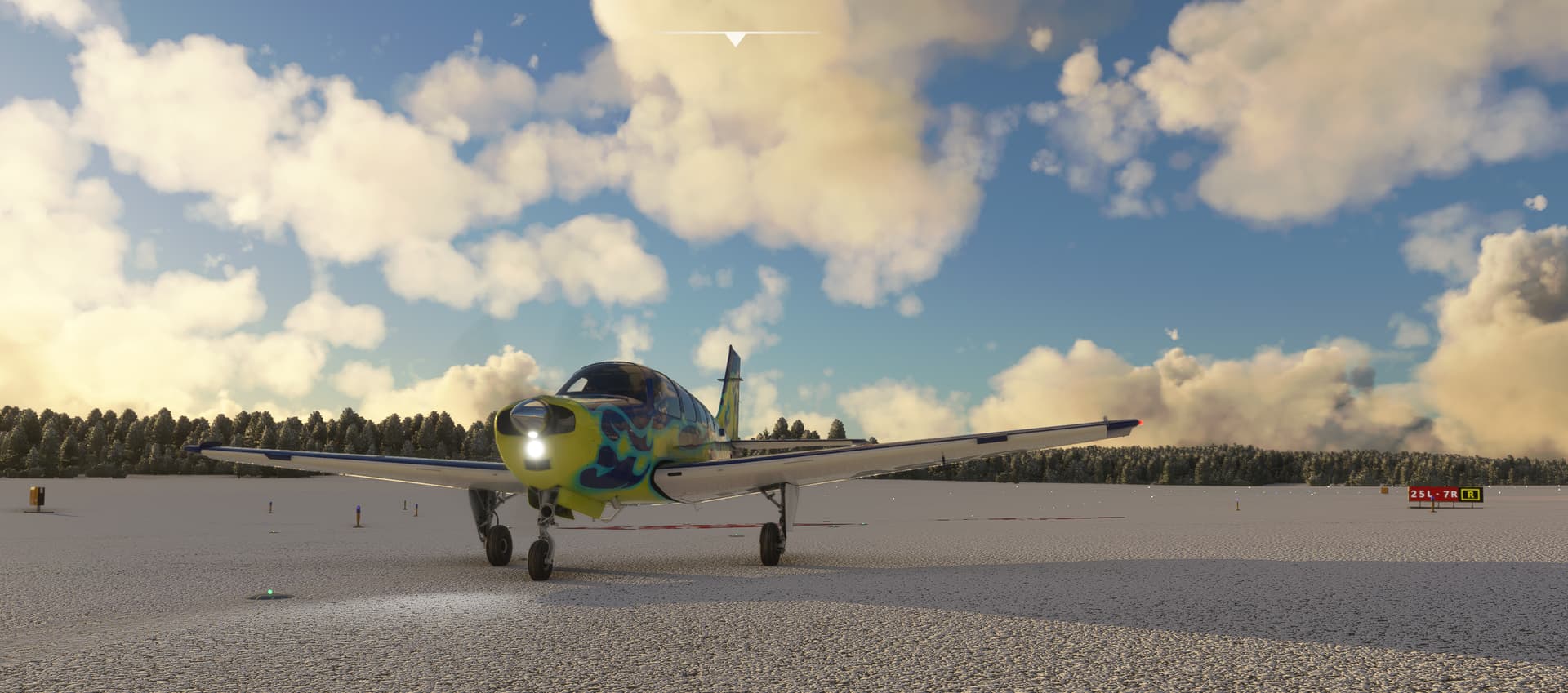
From Kulik Lake, I picked up another MSFS default aircraft new to me, the Bonanza. Of course, now we were doing live weather, so suddenly everything was snow covered. I’m not quite sure how this part works - they say seasons are coming in future updates, but they seem to already have some snow/no snow terrain overlays?
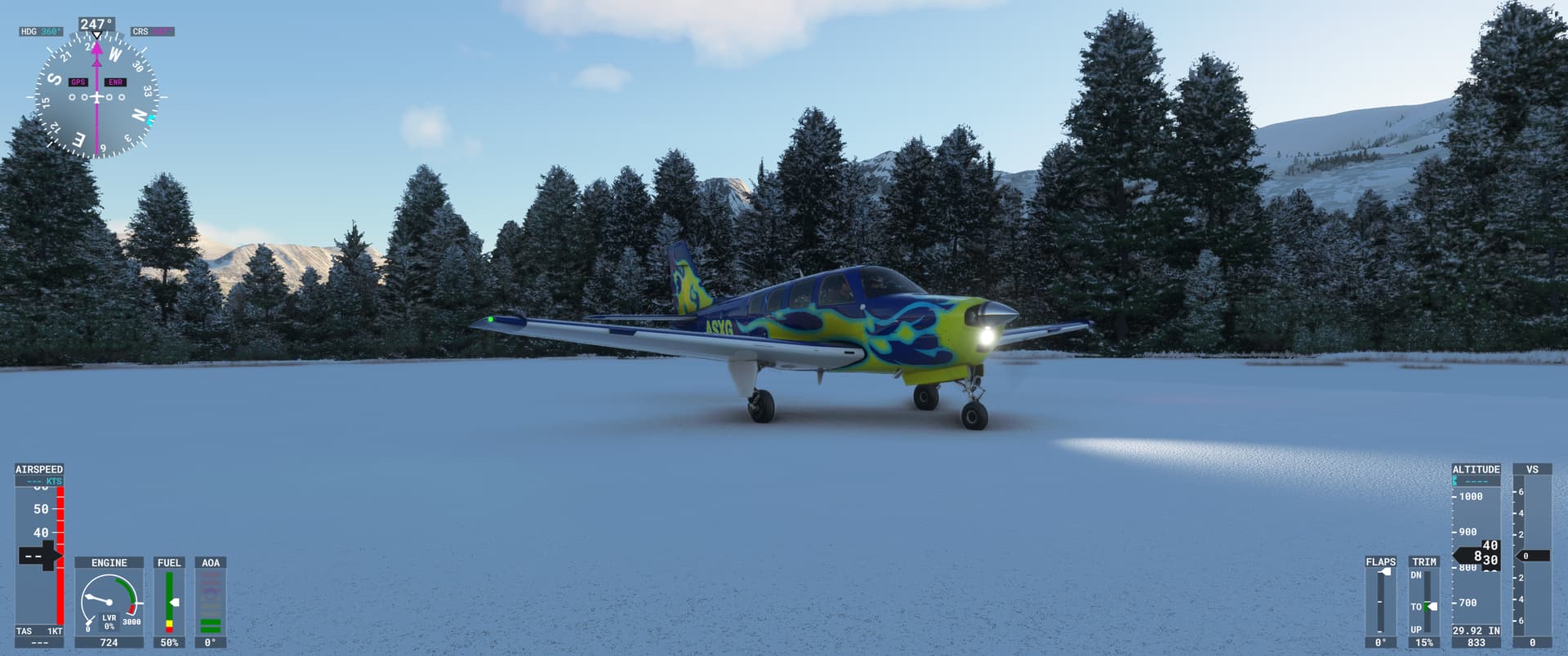
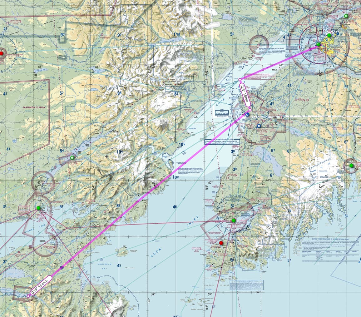
I left Kulik Lake behind and headed towards Anchorage.
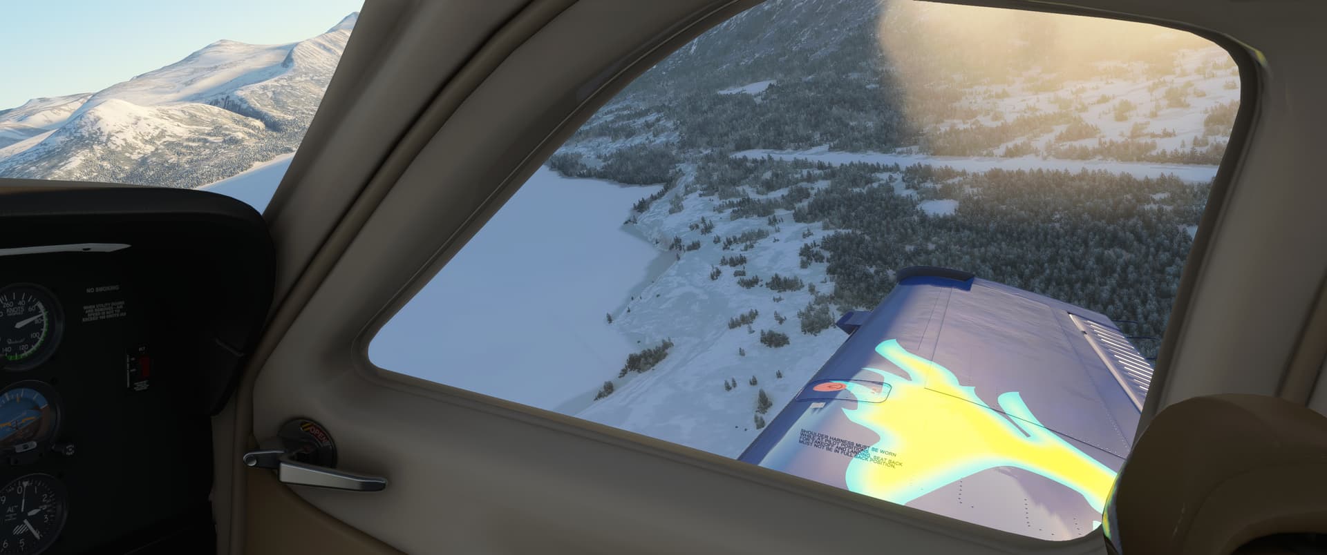
I had lovely clear skies over Kamishak Bay. Further out, I could see the Augustine volcano island reaching up from the Cook Inlet waters to its 4,100 ft summit height. In the distance, clouds were gathering, though - it didn’t look like I was going to get VMC conditions for the whole flight.
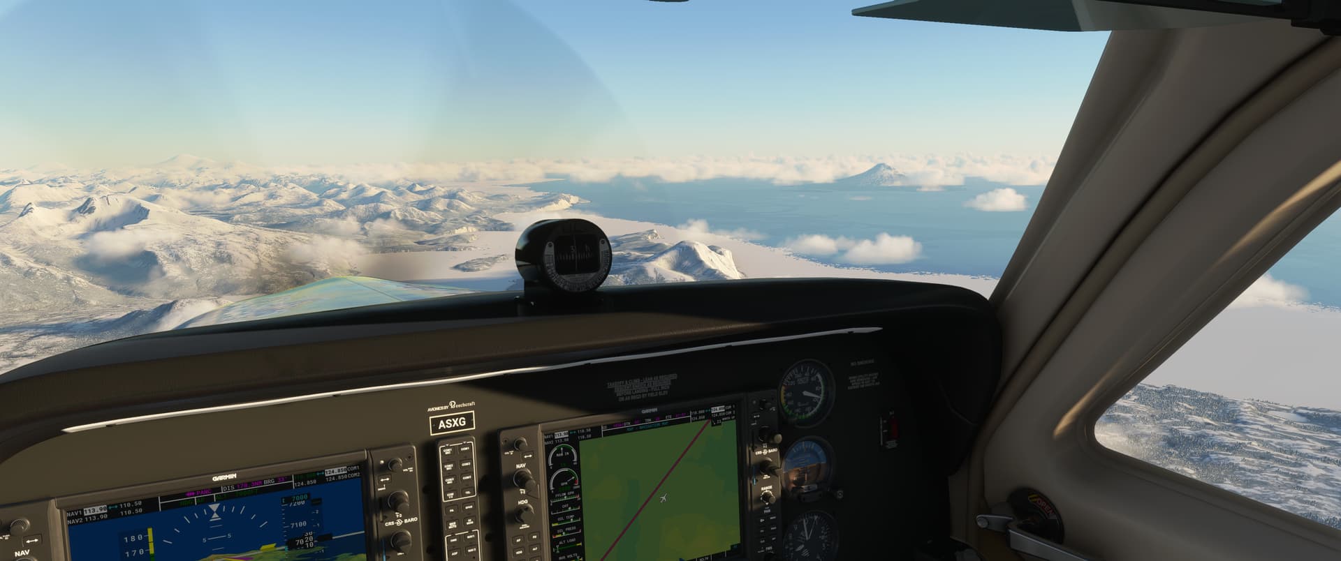
I decided to pick up the KENAI VOR, which leads to an ILS approach to Anchorage.
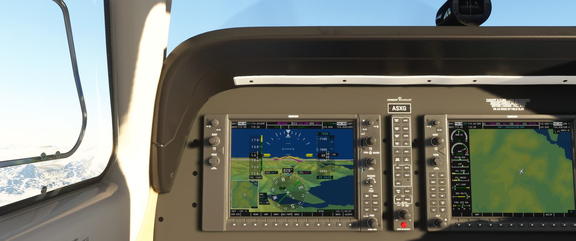
Mount Torbert and Mount Gerdine in the distance - a good 5,000 ft higher than my altitude. It’s good to keep an eye on the friendly big blue MEF numbers in the chart around these parts, especially when it’s cloudy…
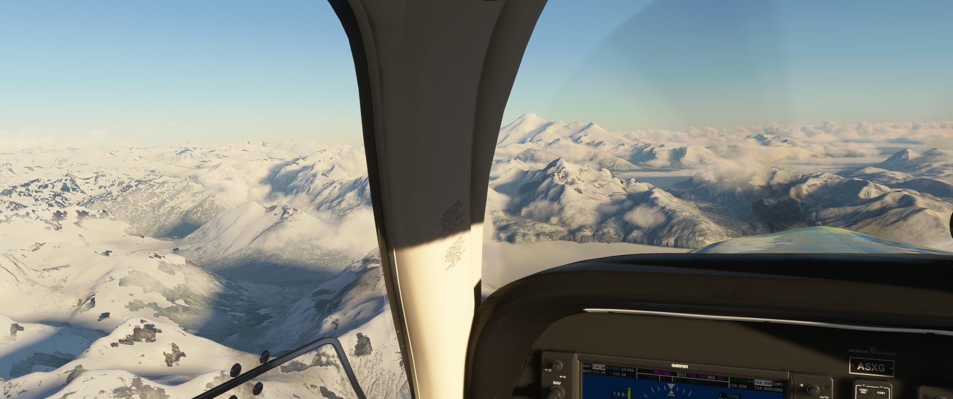
I descended through the cloud deck at Kenai airstrip by KENAI VOR.
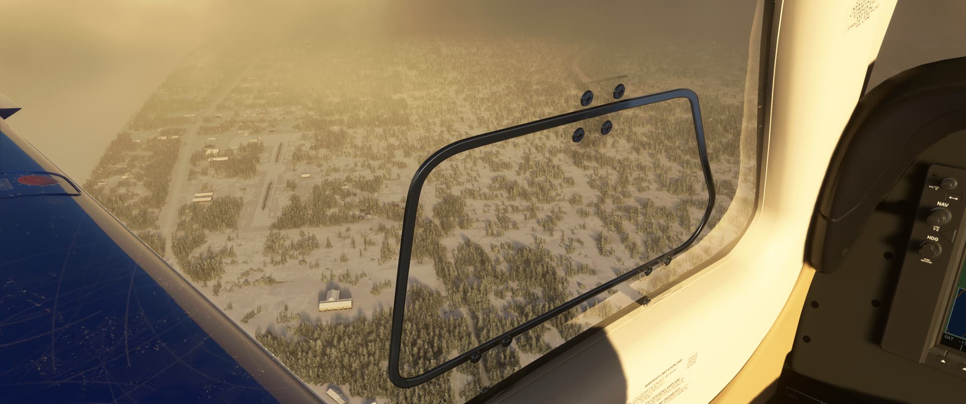
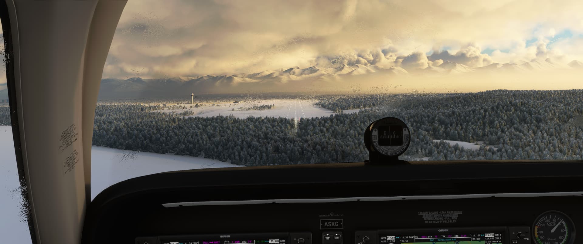
Found the localizer, which was nice. In the end the ceilings were high and I had good visibility over Anchorage.
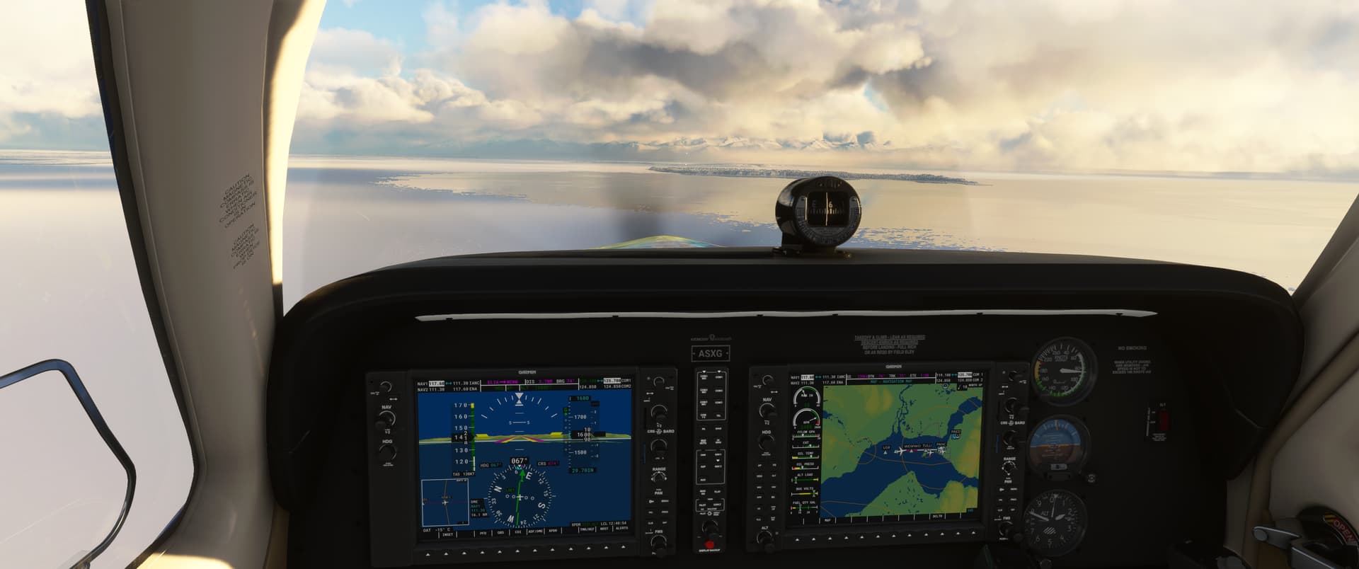
“Fine, you go first…” A big 4-engine heavy landed ahead of me…I probably would have flipped right over flying into his wake turbulence, but guess it isn’t modelled.
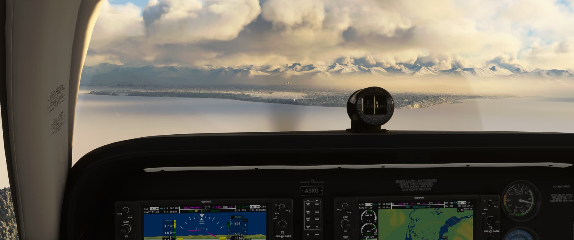
A bit of icing on the windscreen on final.
9 Likes
Seasons is due in about SU9, so Spring 2022 ish. It will use the tree / greenery data to change the colors, depending on tree type etc. The Winter effect is already there, and that just uses the ground temperature and elevation to do the snow/ice effect. It’s interesting for me, as I can often see where the snow line is on the mountains in a given day in the sim and in real-life. They tend to be a bit over-zealous with the ice on rivers (I guess that is harder to model with water temperatures) but it’s pretty good. They also intend to do tides, which will be interesting…
5 Likes
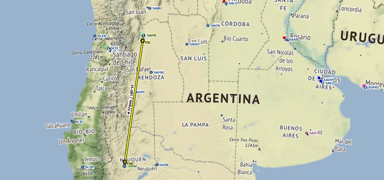
Mendoza (SAME) to Zapala (SAHZ)
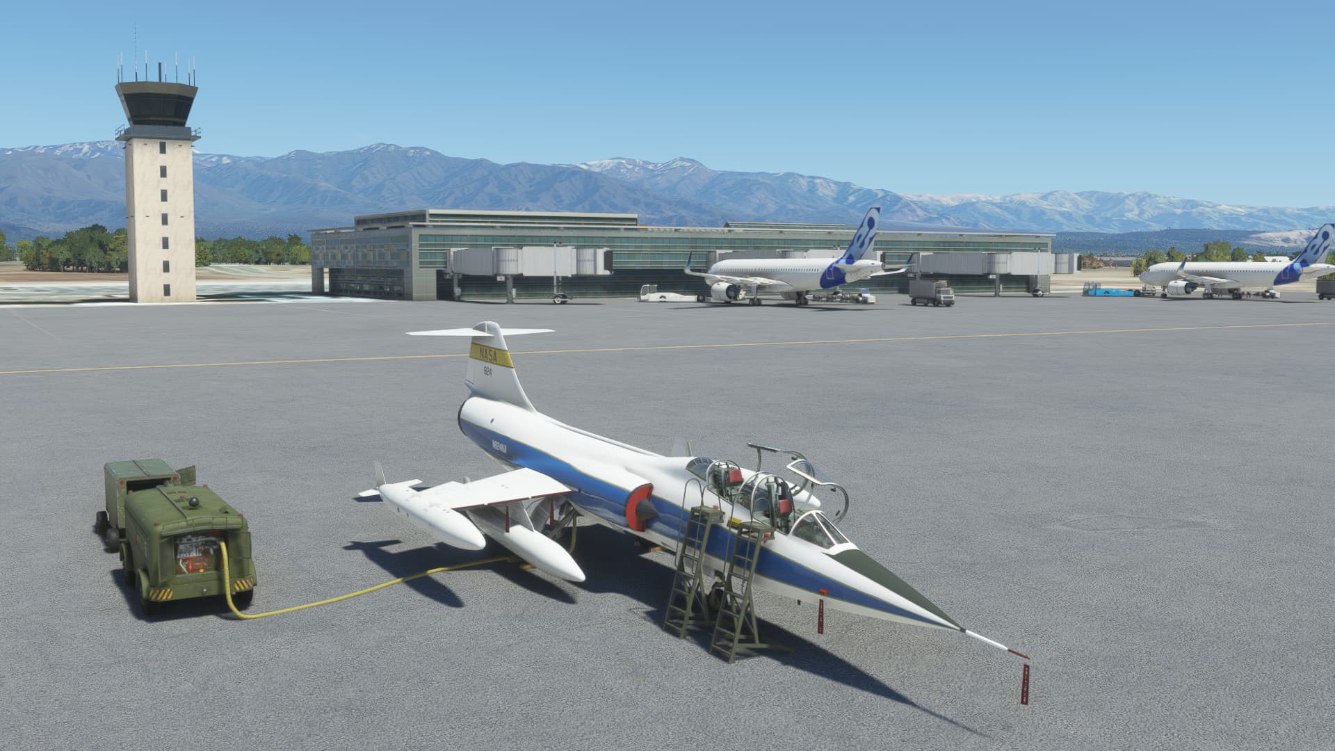
My TF104 with a new coat of paint, sat on the ramp at Mendoza.
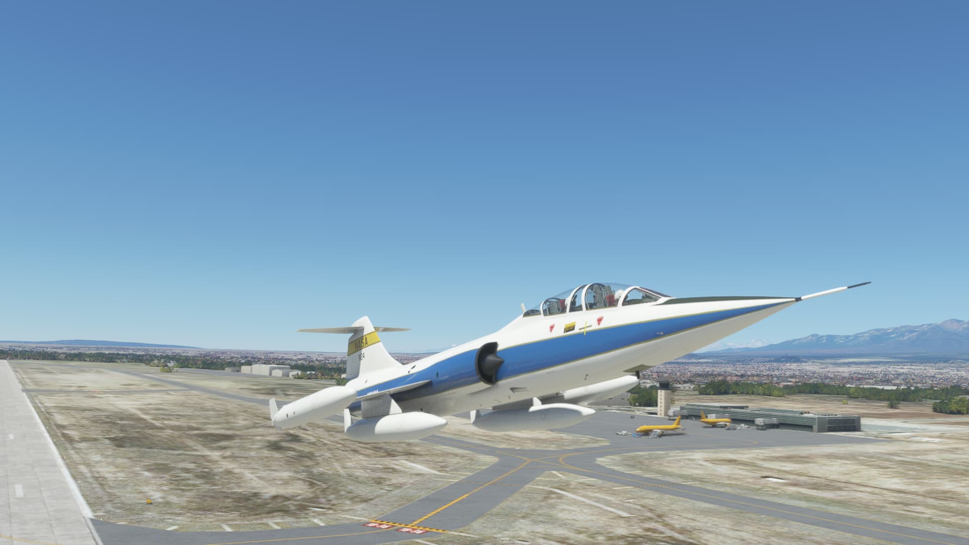
Slipping the surly bonds. With the external tanks filled to the brim, she felt quite heavy on the takeoff roll.
Climbing out and turning south.
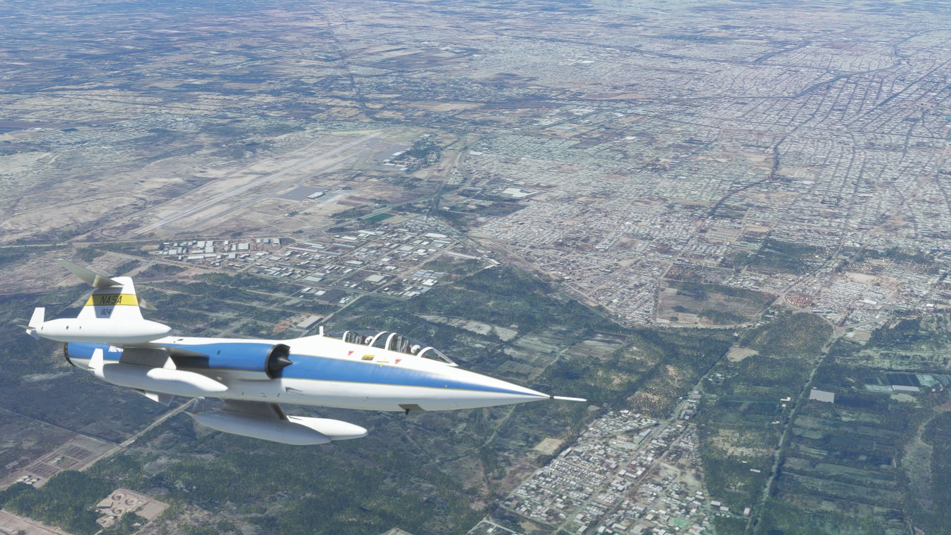
Cruising along, enjoying the view.
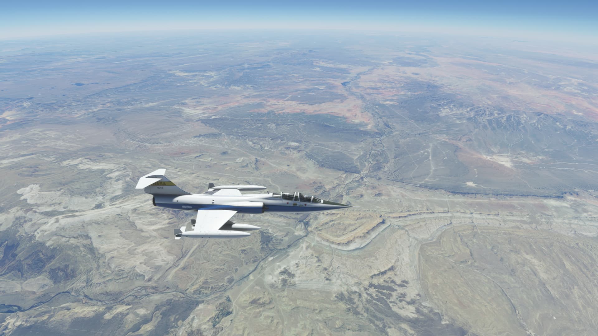
For this leg, the weather was severe clear and so it was easy enough to navigate by visual reference alone. I did dial in the Neuquen VOR (NEU) as an additional reference. The VOR is located some 90nm east of Zapala but it was useful to confirm my rough position. The TF104 is equipped with TACAN equipment. Sim Skunk Works provide a conversion table that lets you treat a VOR as a TACAN. NEU VOR has a frequency of 116.7 which equates to a TACAN code of 114X. Obviously this isn’t 100% realistic, but it is nice to use a TACAN for reference when flying a military aircraft.
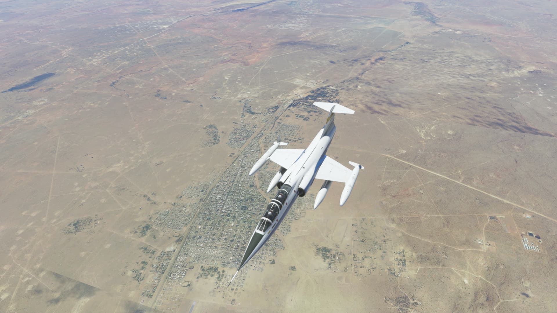
Zapala airport in sight. I decide to join overhead and make a left hand pattern.
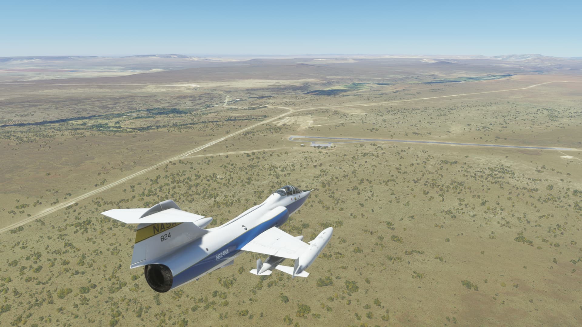
The 104 needs a lot of room to turn, and I misjudged my base to final a little.
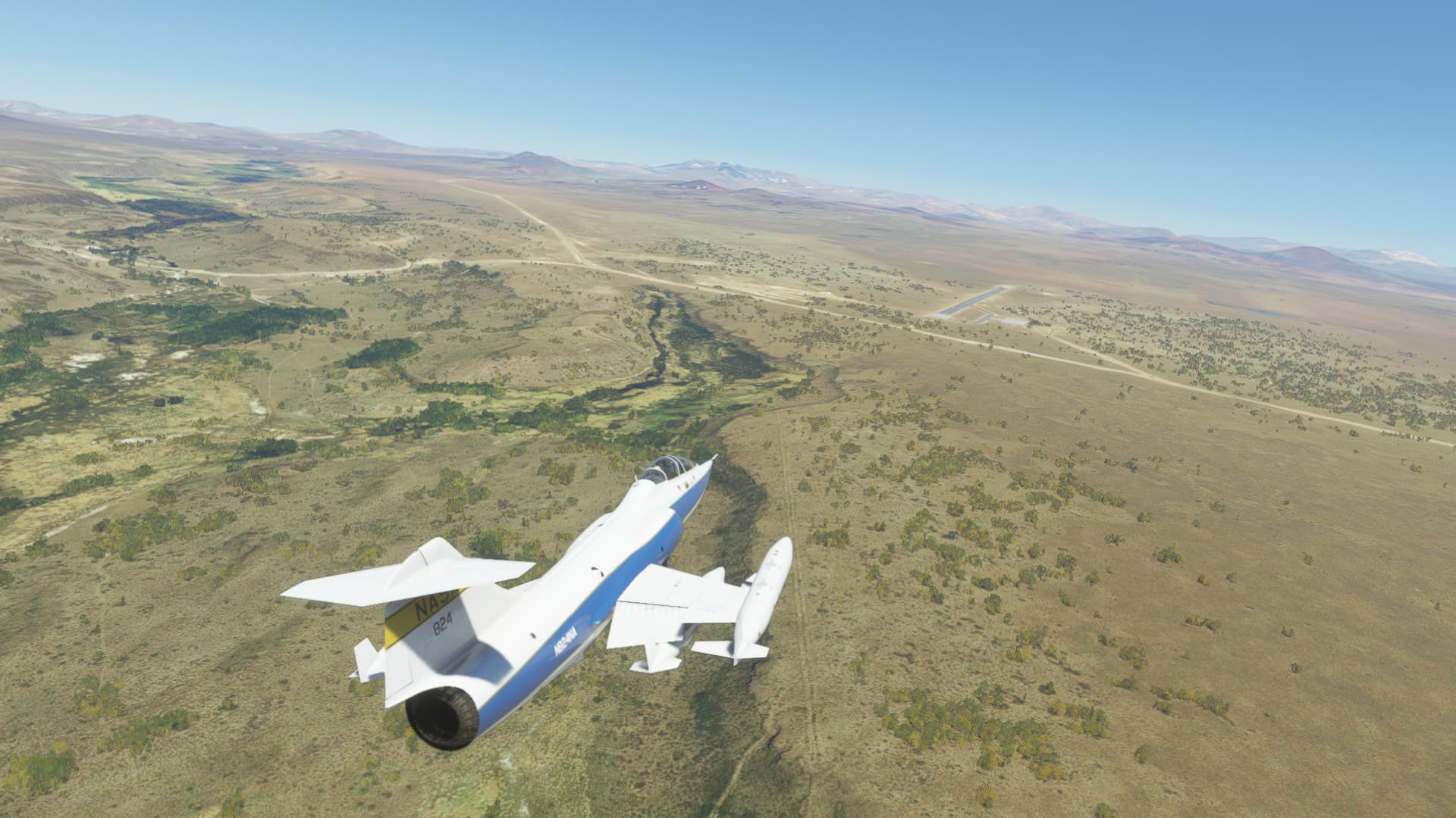
Safely down. There isn’t much to see here, but Zapala has some historical significance, which we will explore on the next leg.

10 Likes
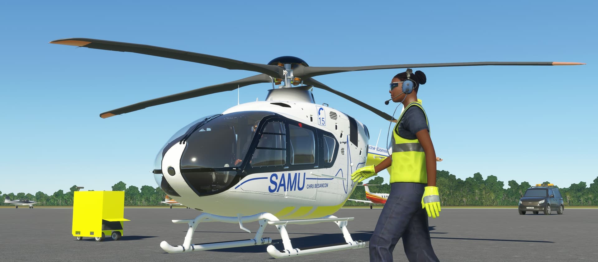
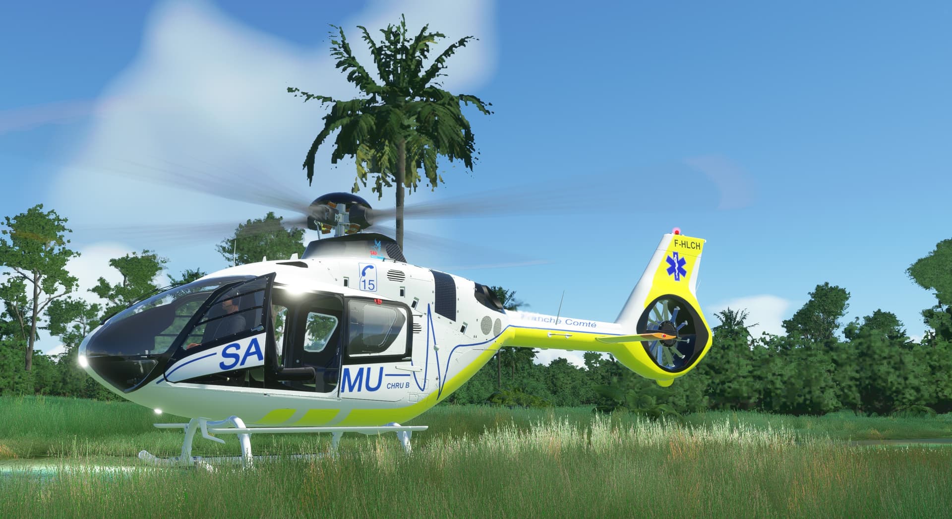
was able to find H135 for sale in Ivory Coast  so acquired it and flew the SAR mission to find that C152 crew lost in the jungles of Liberia

8 Likes
PANC (Anchorage) - PACV (Merle K. (Mudhole) Smith Airport)

So, this might get interesting yet. I certainly haven’t done my homework sufficiently to be sitting on either of the front row seats on this bird. That said, I hear there’s a very capable flight engineer onboard, so surely it will be just fine.
I did a very thorough preflight inspection to make sure all was well: squinting in the morning sun, I gave a good push and pull at some of the bits I could reach to make sure they were attached, grunted in a thoughtful way once or twice and generally hoped that I looked like I knew what I was doing.
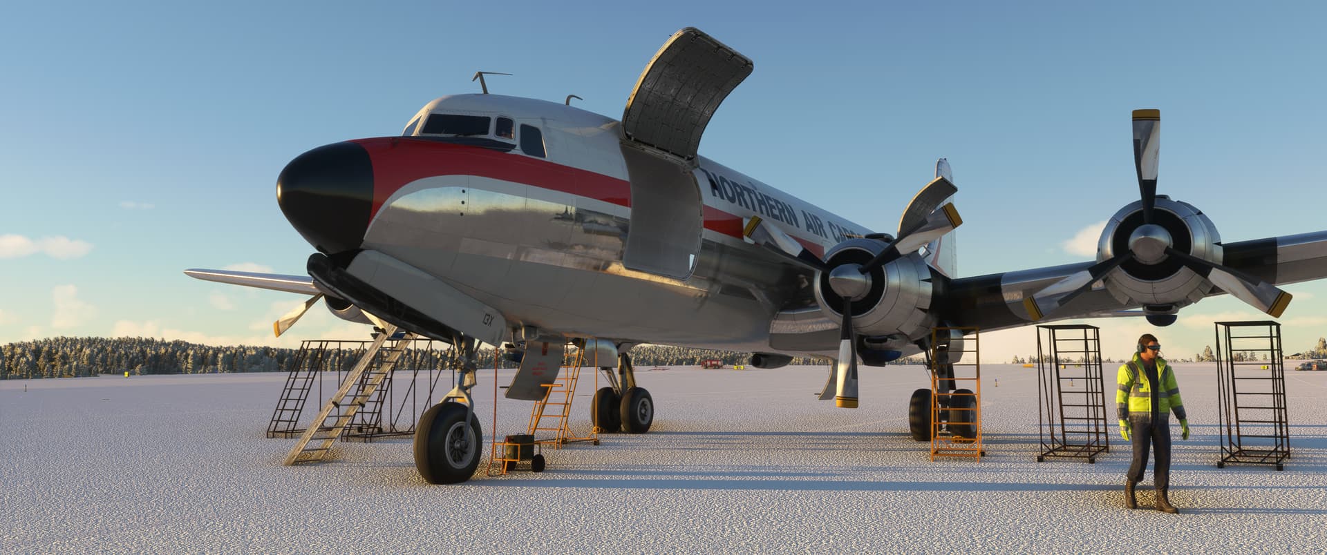
Look at all that shiny stuff I haven’t bent yet!
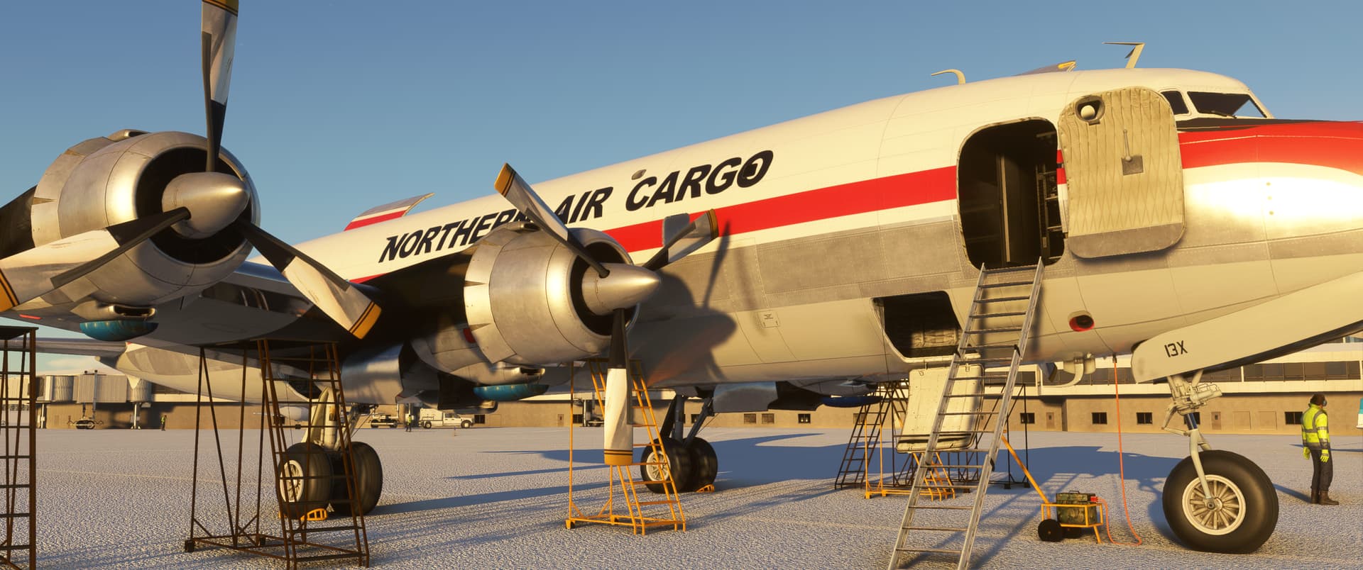
The Double Wasps sprung to life, sounding every bit as throaty as their 46-litre displacement would allow one to expect.
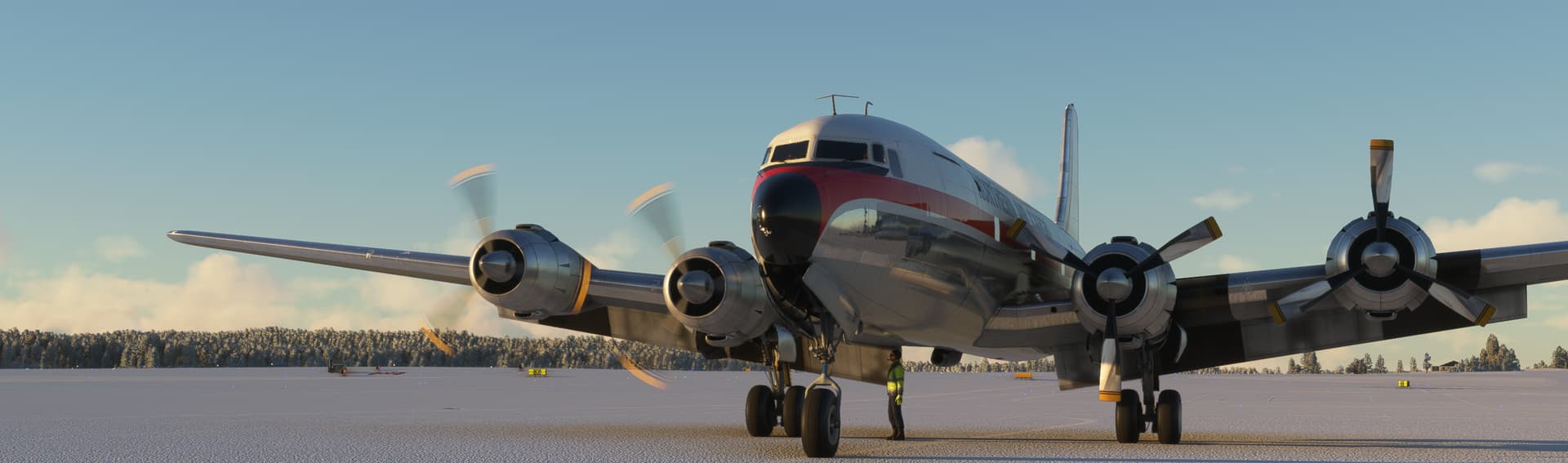
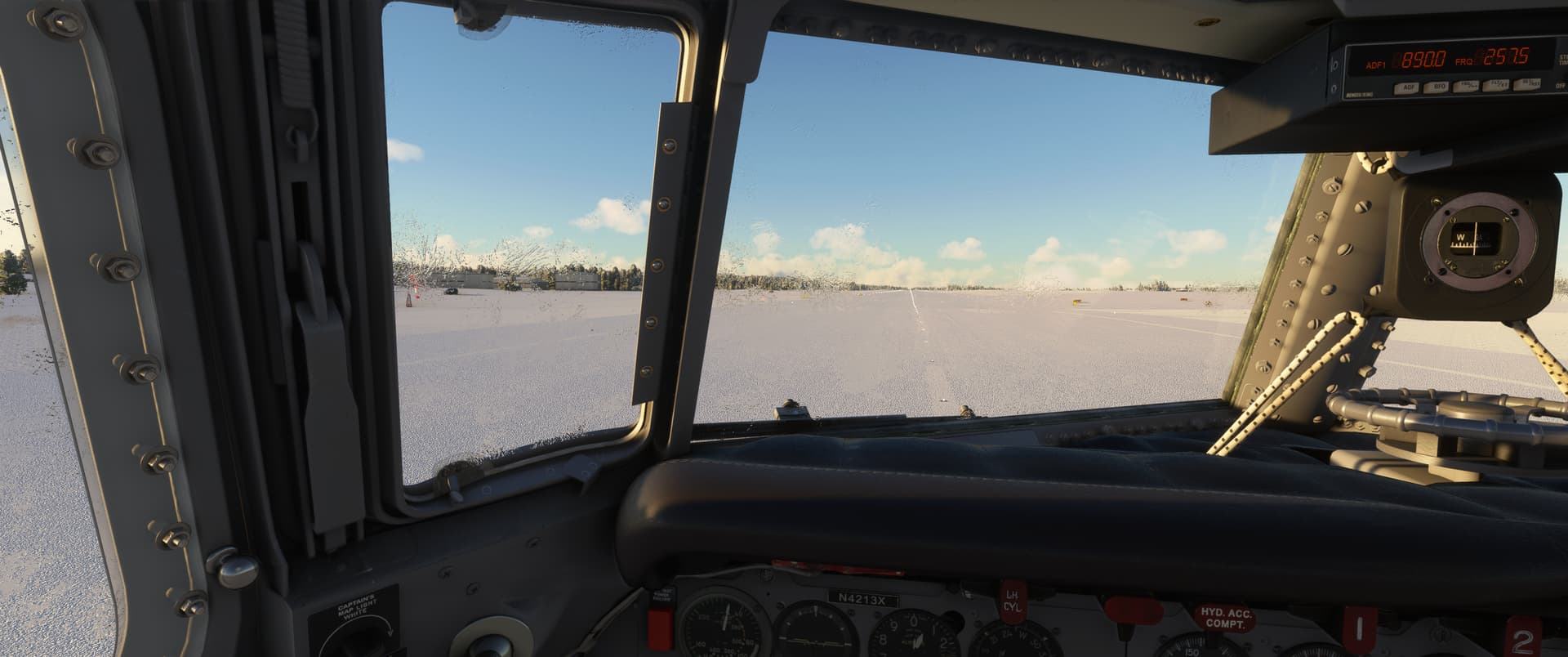
I taxied out to the runway looking out of the side window because the windows iced up during the engine start process. While I eventually found the window de-icing controls before the take off, poking my head out to the frigid morning and listening to the engines roar with the window open was quite fun.
I assumed the role of “management” in “crew resource management” as I had very little “resource” to offer. I told the AFE to set up the Douglas for a dry takeoff and in the meantime took in the rows of instruments in front of me and around me in quiet admiration and, perhaps, perspiration.
Fully fuelled, we trundled down the runway and clawed our way to the skies. I now know to check the fuel amount (does not default to 50%) and use the wet takeoff if heavy…luckily, the Anchorage airport has water on three sides so I had plenty of room to gain altitude without having to worry about hitting trees or hillsides.
I think I mismanaged the engines quite badly on the way up - I didn’t realise the AFE automatically goes from take off power settings to climb, so I asked for cruise settings too early (so as to not have take off power on for too long) and ended up with catastrophically high CHTs as I tried to climb with those settings on. Anyway, all was well because I didn’t have the “realistic engine damage” setting on, which was probably for the best…
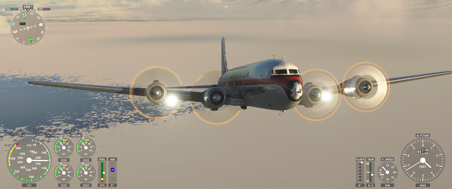
The CHTs eventually settled down as I levelled off and meandered east along the amusingly named Turnagain Arm towards Prince William Sound. The weather gods were also evidently amused by my attempts at coaxing the Douglas on and kept the skies ahead clear.
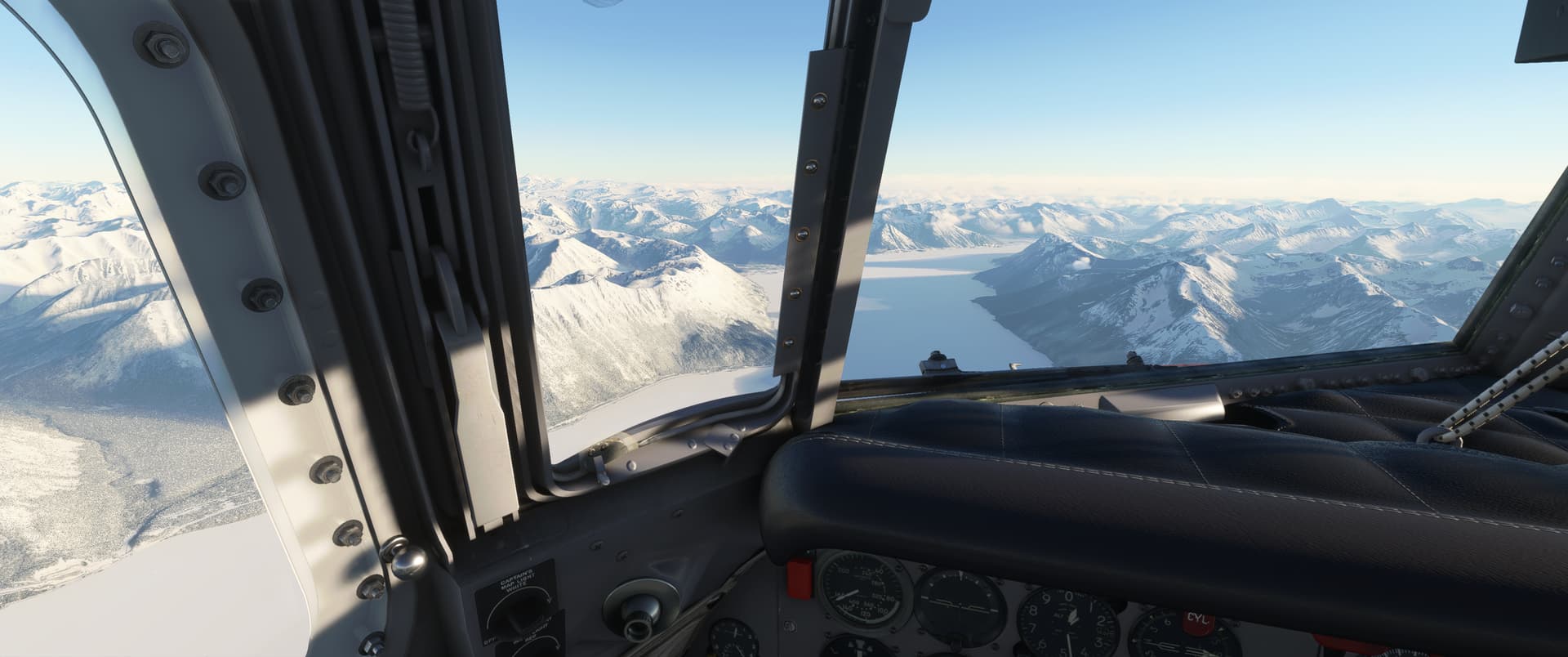
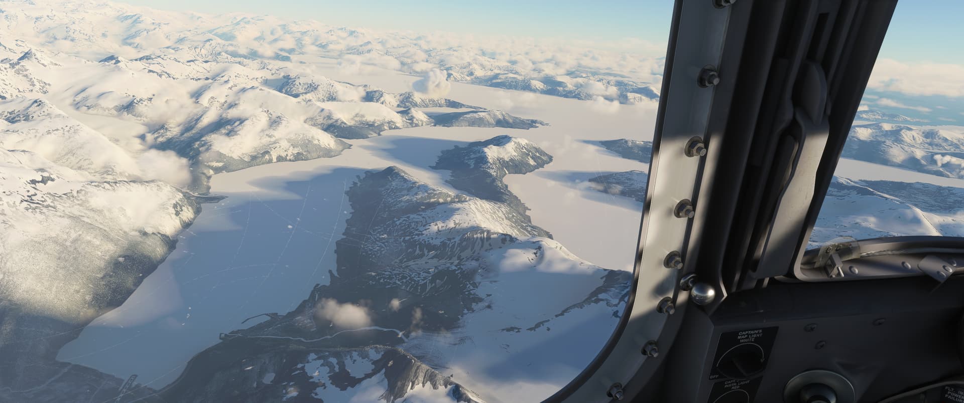
Given I hadn’t even expected to get this far on the first time I fired up this old girl, I decided not to push my luck further and started to look for a place to land, even though originally I had thought about flying a bit further and reaching White Horse.
While “Mudhole” didn’t sound that inviting, it was close, not completely surrounded by high mountains on all sides, and had a 7,500 ft runway…'nuff said. Mudhole it was.
I took no chances and punched the field in the Garmin - at this point in my DC-6 learning curve, my approach to crutches is: yes please, can I have two?
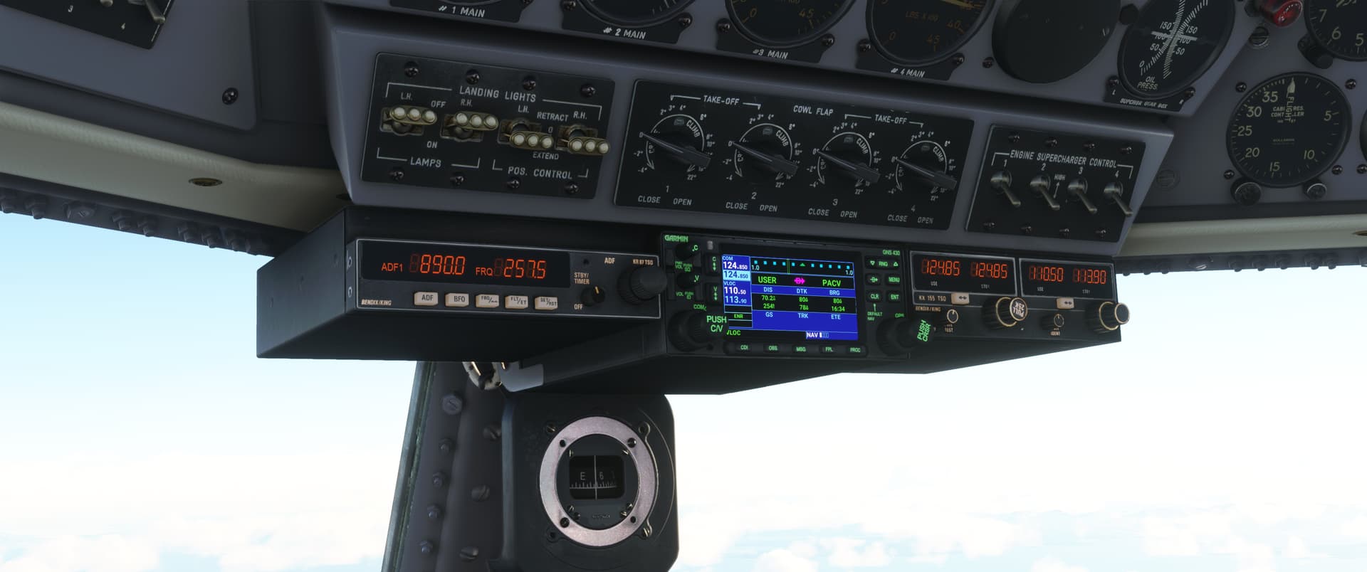
Having read the reports about this bird taking a while to slow down in the descent, I ordered the AFE to set the engines for descent and took a good look at the sectional chart. Fortunately the archipelago was fairly easy to understand, so I quickly gained a pretty good idea of where I was in relation to the field.
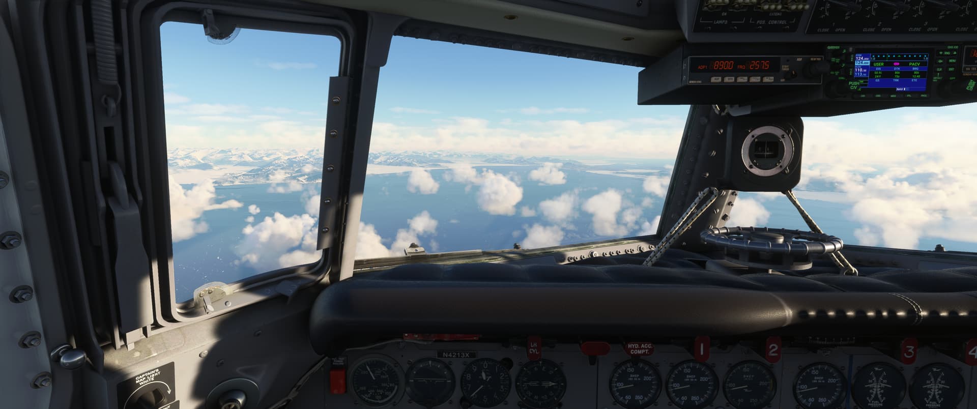
In hindsight, given my inexperience with the large aircraft I was flying, going past the airfield over the water in the south and turning around for runway 27 which doesn’t have a 3000-foot mountain 8 NM from threshold would have seemed like a sensible plan.
However, hindsight is 20/20 so runway 9 it was for me, because of the direction I was coming from, obviously - why look further than one’s nose.
In fairness, I was hand flying the aircraft so my googling time was limited…but it was kind of telling afterwards to find out that all the instrument approaches were for runway 27.
Anyway, my game plan was to overfly the small inlet towards the northern end of Hawkins Island and from there aim for Eyak Lake, then fly past the peaks and adjust course once I had the airfield in sight:
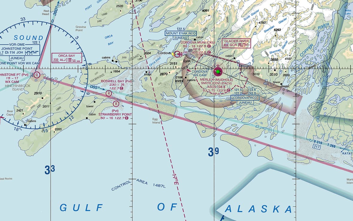
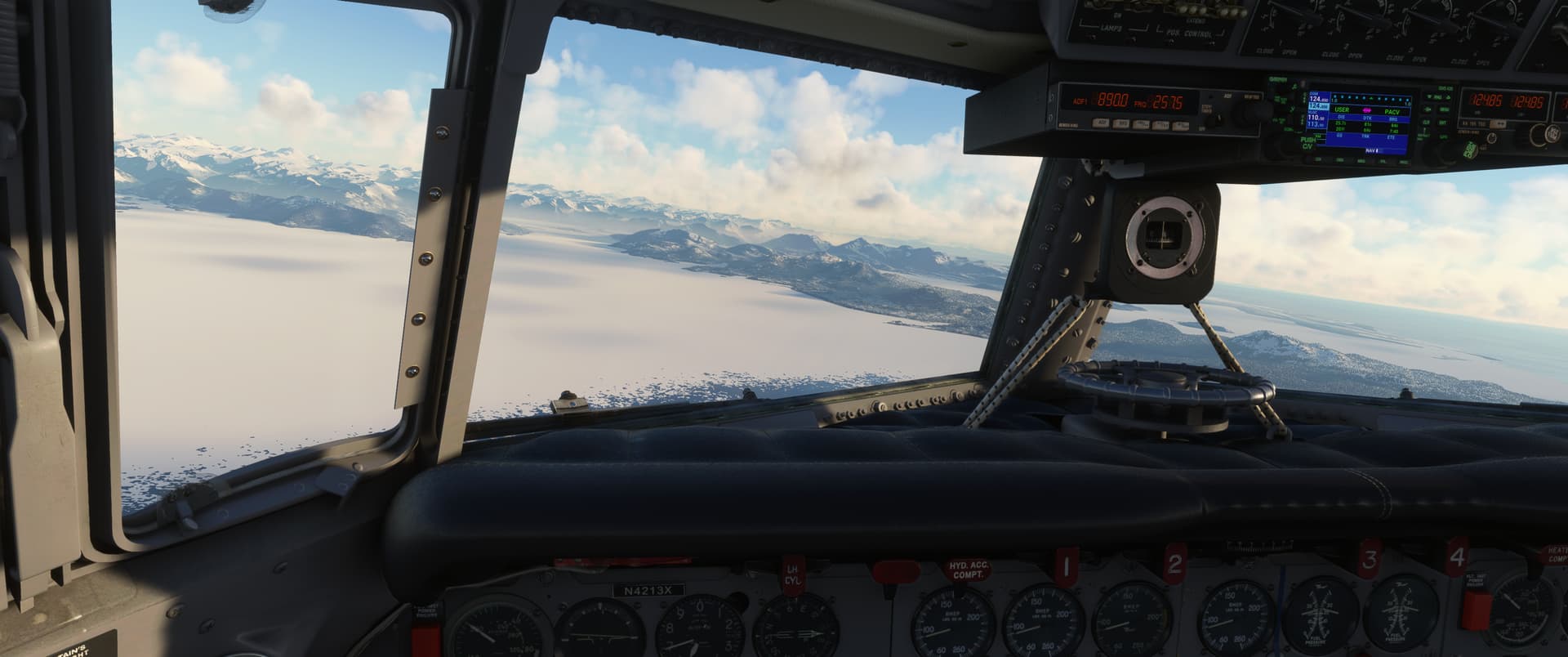
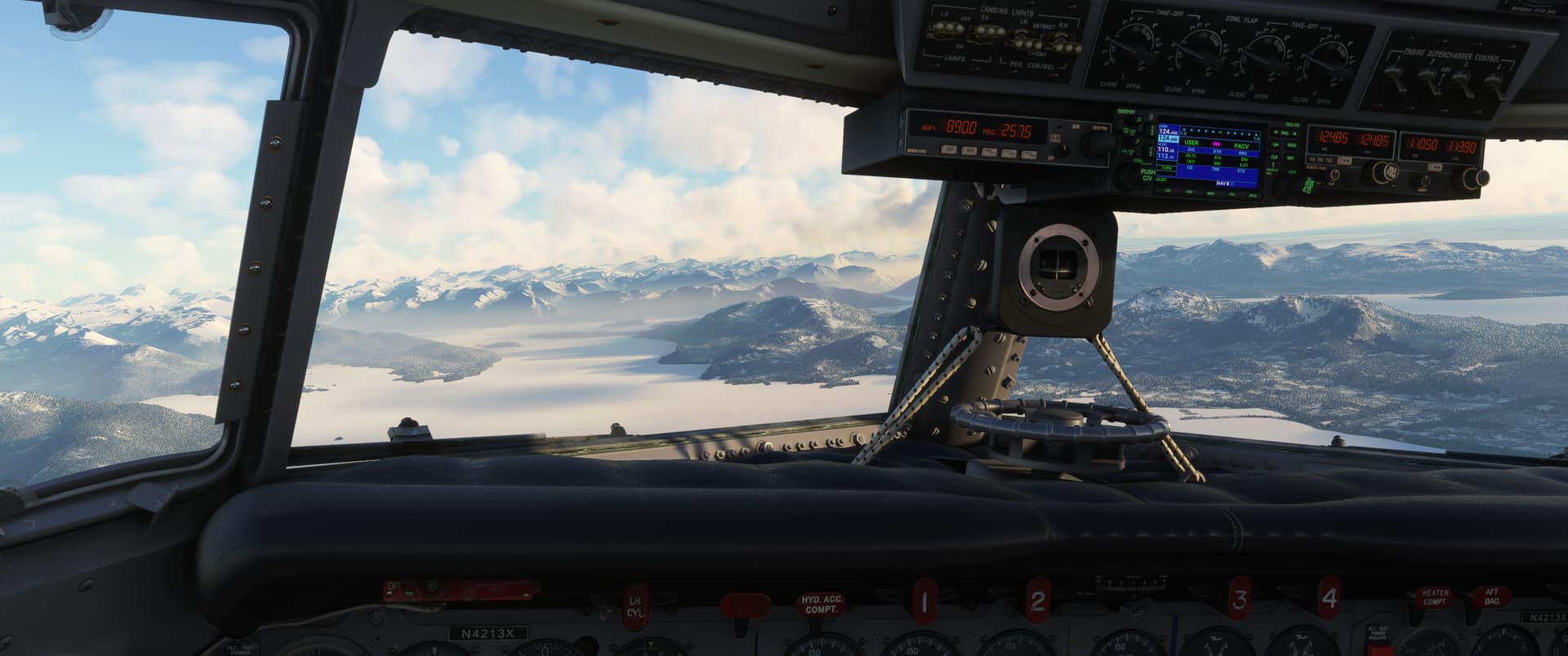
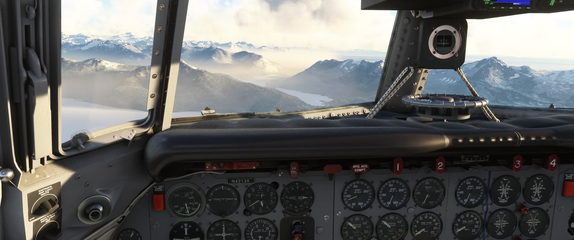
It worked out okay. I saw the field in the haze fairly early on and didn’t have to do anything dramatic to line up.

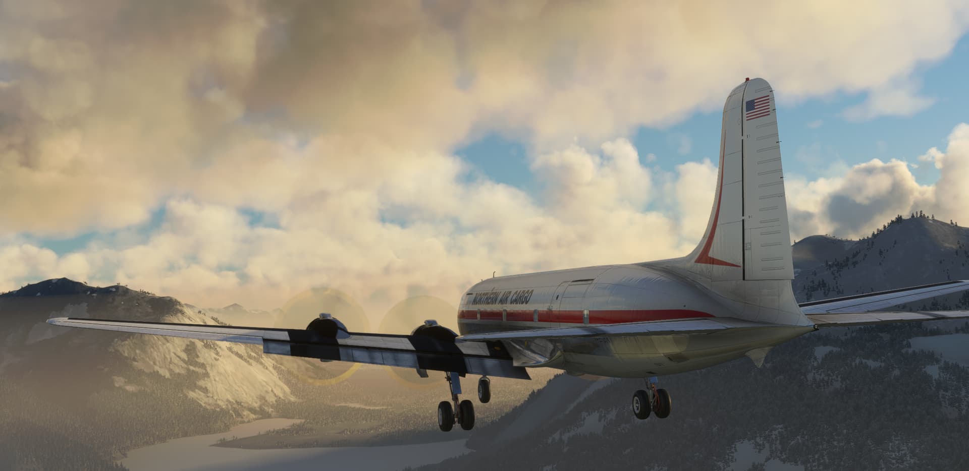
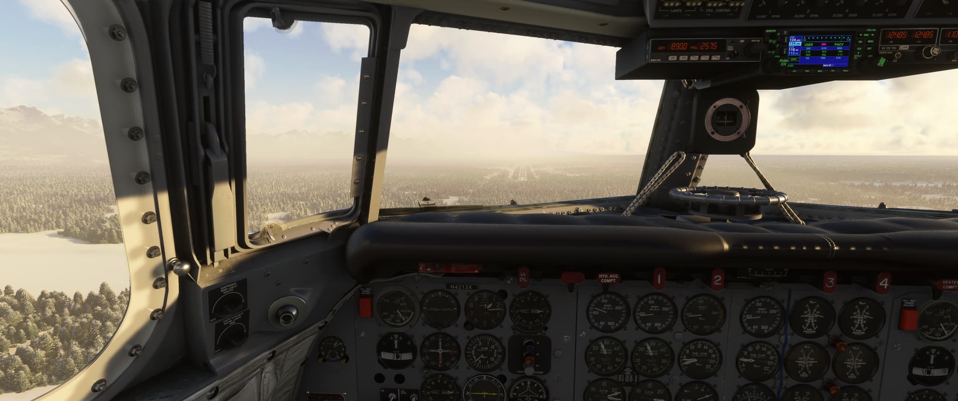
Suffice to say I was stoked to make it back to terra firma - I was woefully underprepared for this flight but still made it. That AFE is just a fantastic way to have fun with this complex aircraft before understanding the first thing about it - great for induction.
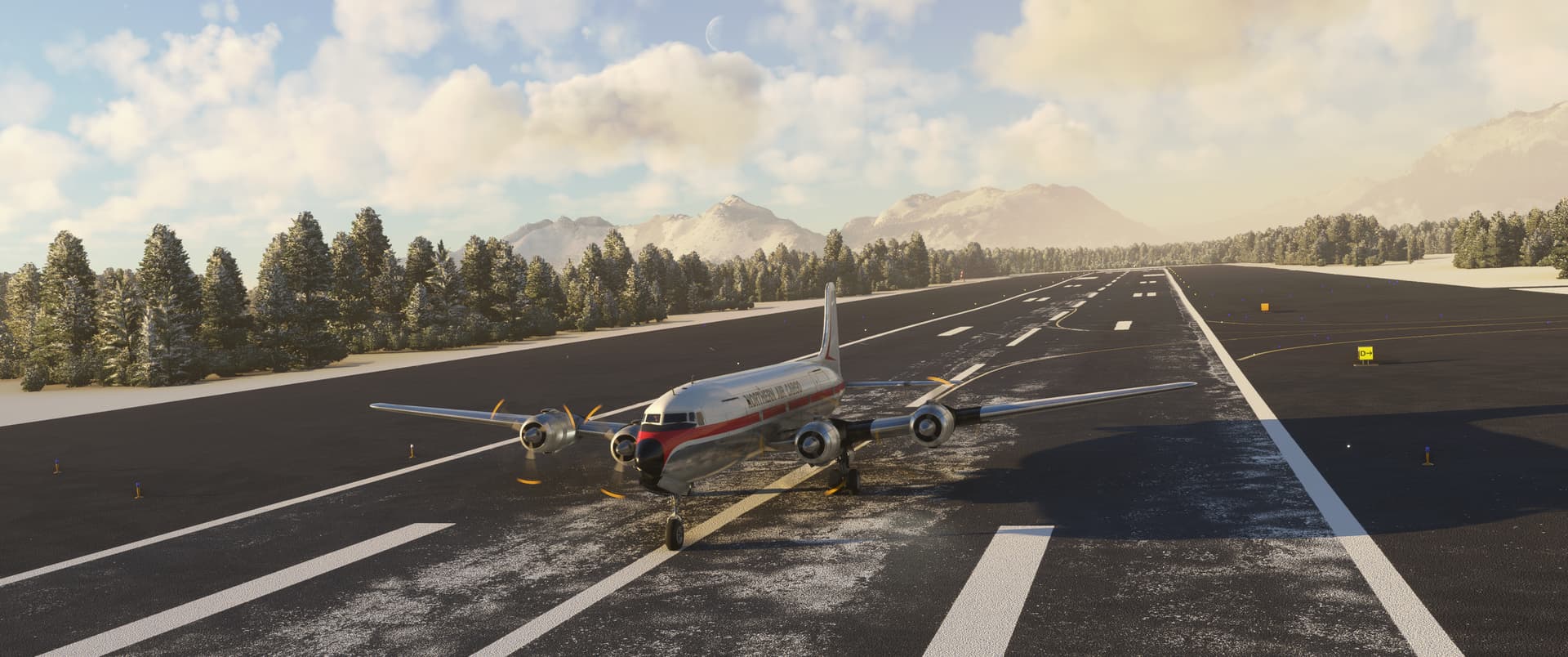
I parked up for the night and read the manual a bit after the flight…climbing up the tree bum first much? 
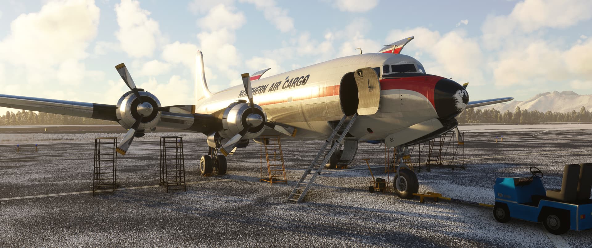
12 Likes
Man, these reports are killin’ it!
I love the great tales of victory stolen from the jaws of defeat. And the pictures are OUTSTANDING!
@Bearhedge welcome to the DC-6! You’ll soon grow to love that thing!
4 Likes
after all, you can always figure it out… what is in the manual
decided not to fly across the Atlantic but travel first stop Ascension Island; rented small plane for small island tour… it was waste of money… or maybe it was just time travel back to FSX [in regards to terrain]
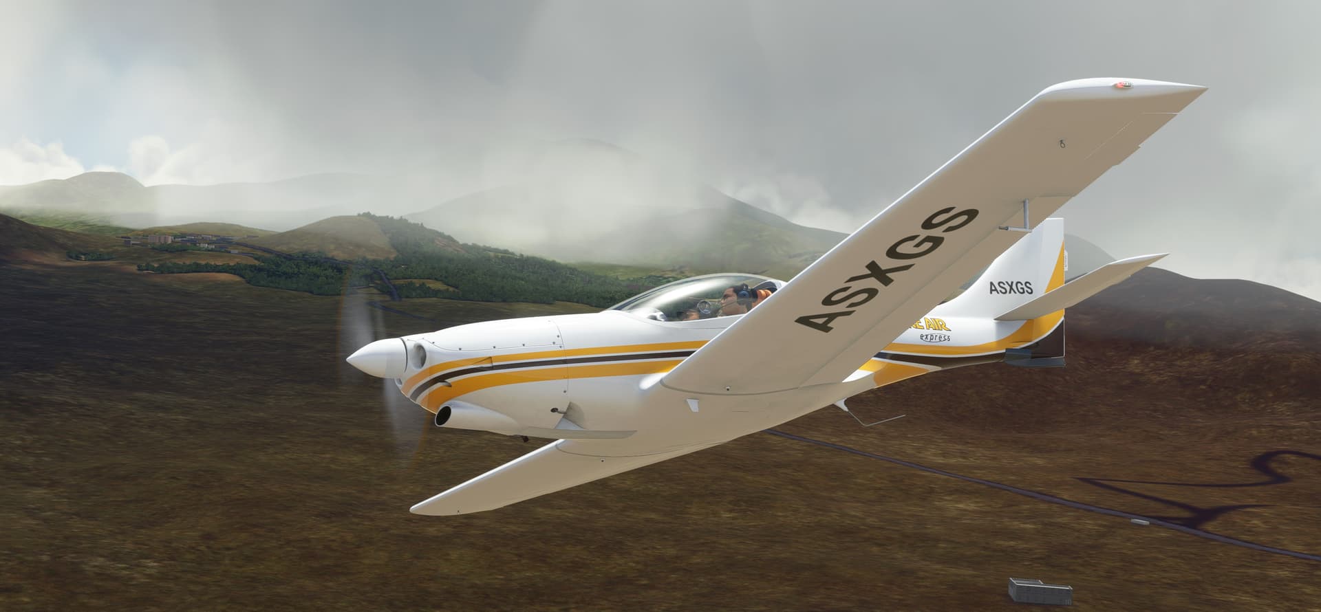
hopefully I will have better time at Fernando de Noronha island
9 Likes
next stop on the Atlantic travel is the aforementioned Ilha Fernando de Noronha
for sure much better place to explore… because I was inverted ! 
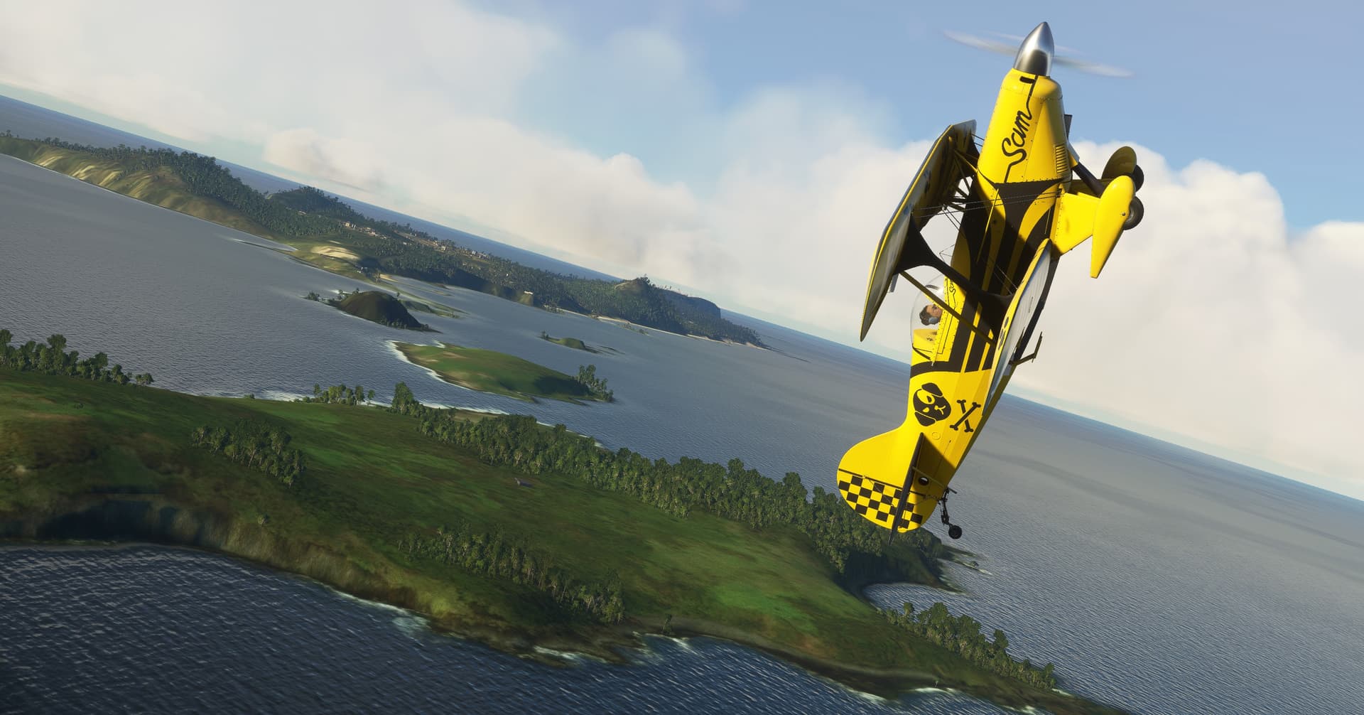
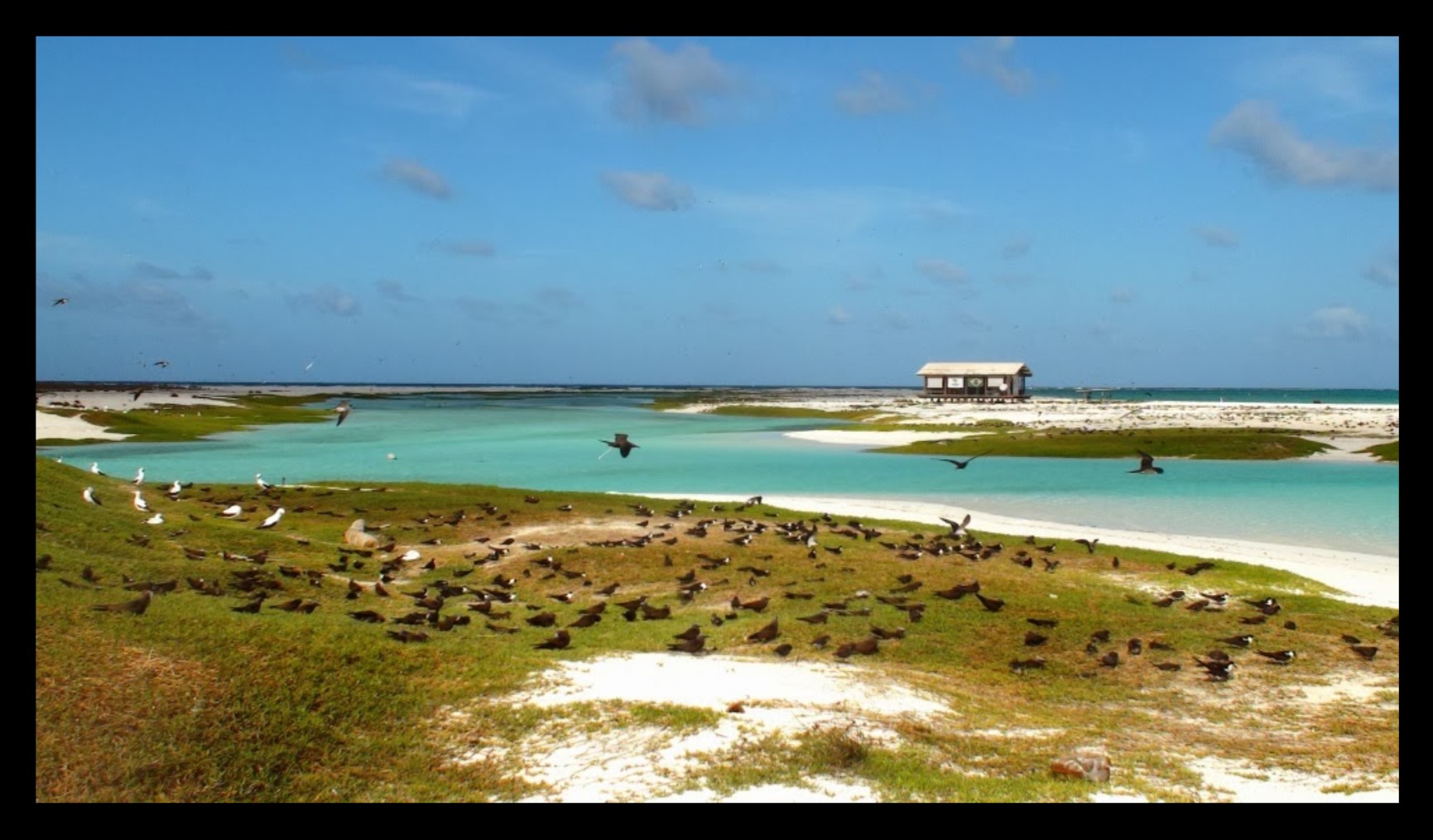
decided to press on for Brazil  and I think I have found Atol das Rocas Biological Reserve… but again nothing to see here in the sim
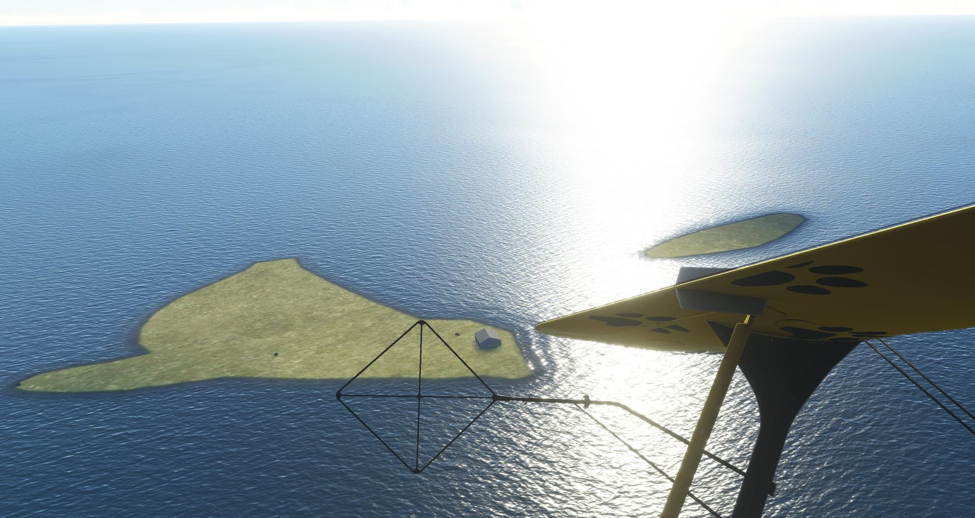
much better
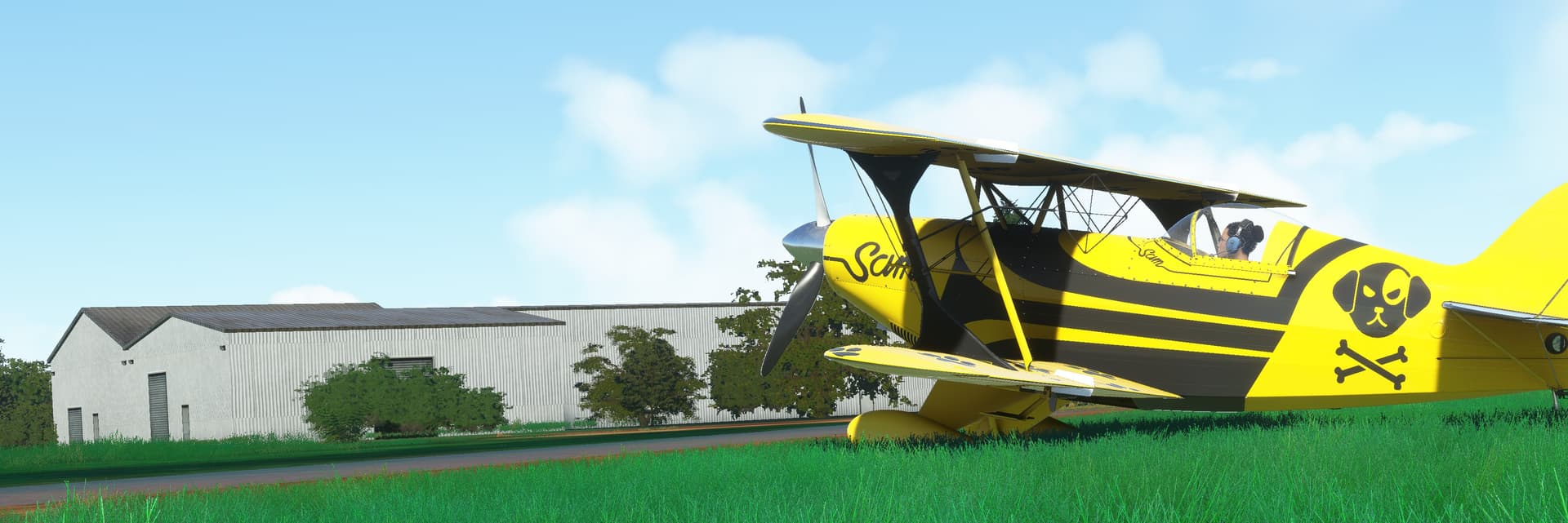
landed at the first strip I have found SNZO and what a fun plane you have @smokinhole
12 Likes
Leg27: San Carlos De Bariloche Airport, Rio Negro, Argentina (SAZS) TO Tte. Rodolfo Marsh Martin Airport, Antarctica (SCRM).
OR

The SOUTH POLE?

Ooh, I’m Dyyyin’!!!
Had to do it. This one had been lurking on my radar ever since I first plotted my trip this year. I was determined, if I could manage it, to finally see the southernmost continent.
Well, I don’t know how much seeing I did, but that comes later.
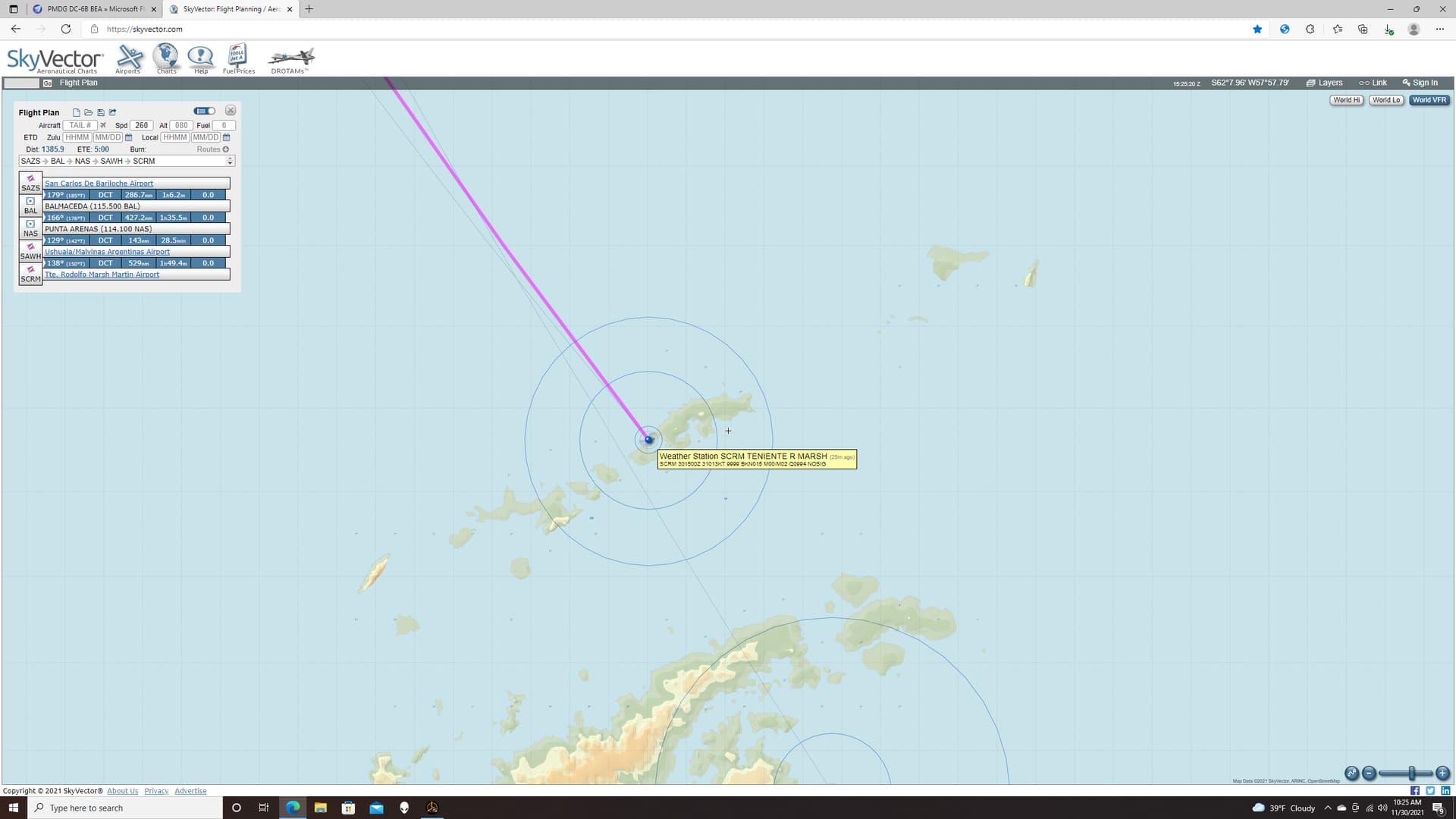
My original thought was to make it a straight shot but I’d miss a lot of what I had wanted to see that way. So instead, I planned the flight to follow the spine of the continent with a wet final leg to cover the remainder of the distance.
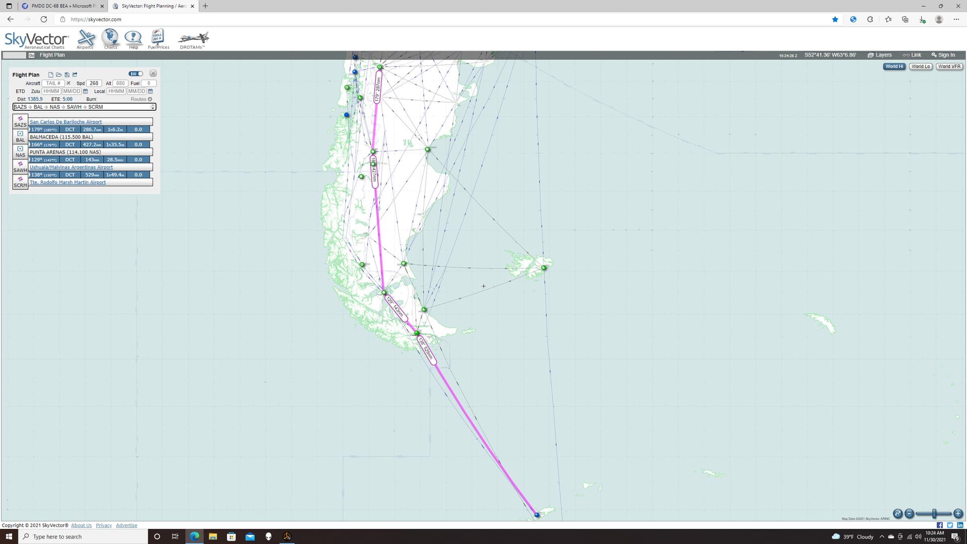
I understand that there are MSFS native airfields for Antarctica, but I couldn’t seem to find them on the World screen.
Luckily, you can always count on the modding community in MSFS to address any shortfalls.
SCRM - Teniente Rodolfo Marsh Martin Airport - Antarctica » Microsoft Flight Simulator
by GrafDresche
Overall, I didn’t know what to expect from MSFS out at the poles. And I certainly didn’t know what NAVAID support I was going to get down there. I was going to have to take a leap of faith.
The weather wasn’t ideal but, if I could find the VOR or ADF, I might be able to get beneath the 1500ft BKN layer and set up some kind of visual.
That was the plan at least.
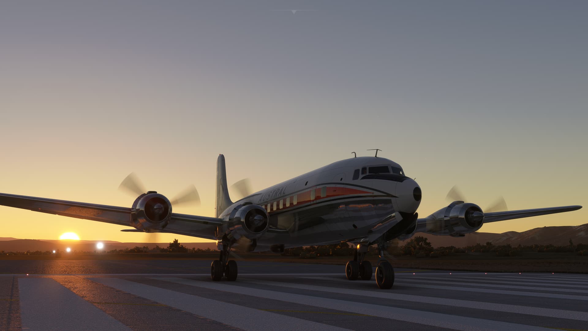
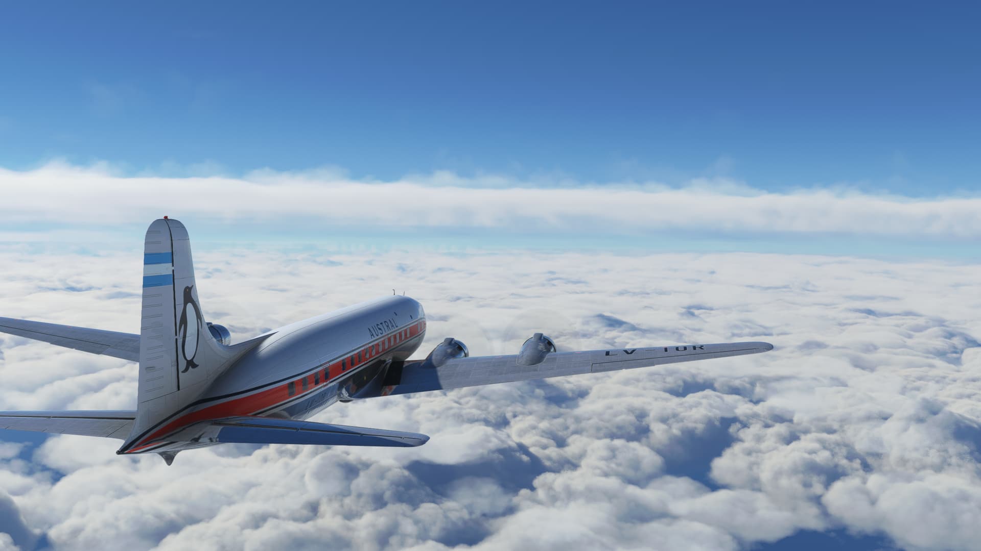
I batted about the appropriate livery for this leg and eventually settled on one for the Argentina based Austral, courtesy of oliveiralberto.
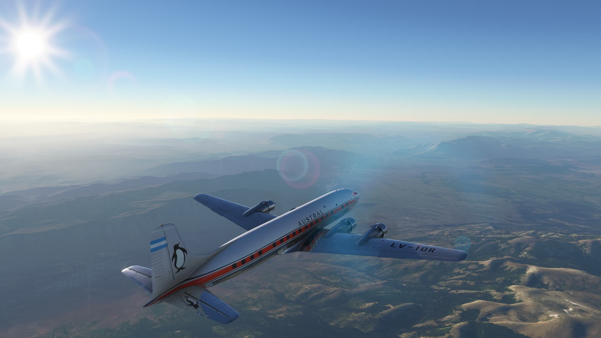
The weather was beautiful for much of the initial portion of the trip. I took off into the morning mountain sunshine towards Lake Nahuel Huapi.
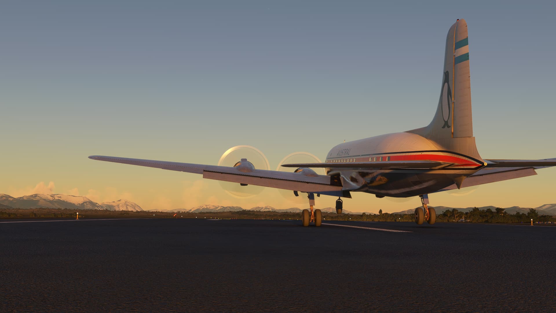
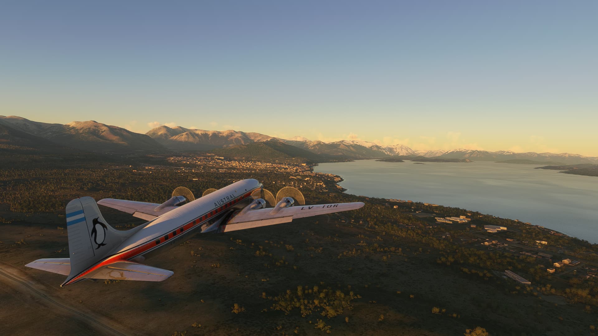
I was gassed to the gunnels for this trip and, despite my confidence coming in here last night, I realize now that the area is much more mountainous than I first thought. Climbing out is going to be no simple matter.
Luckily, there is an inviting valley at ten o’ clock that will suit me just fine.
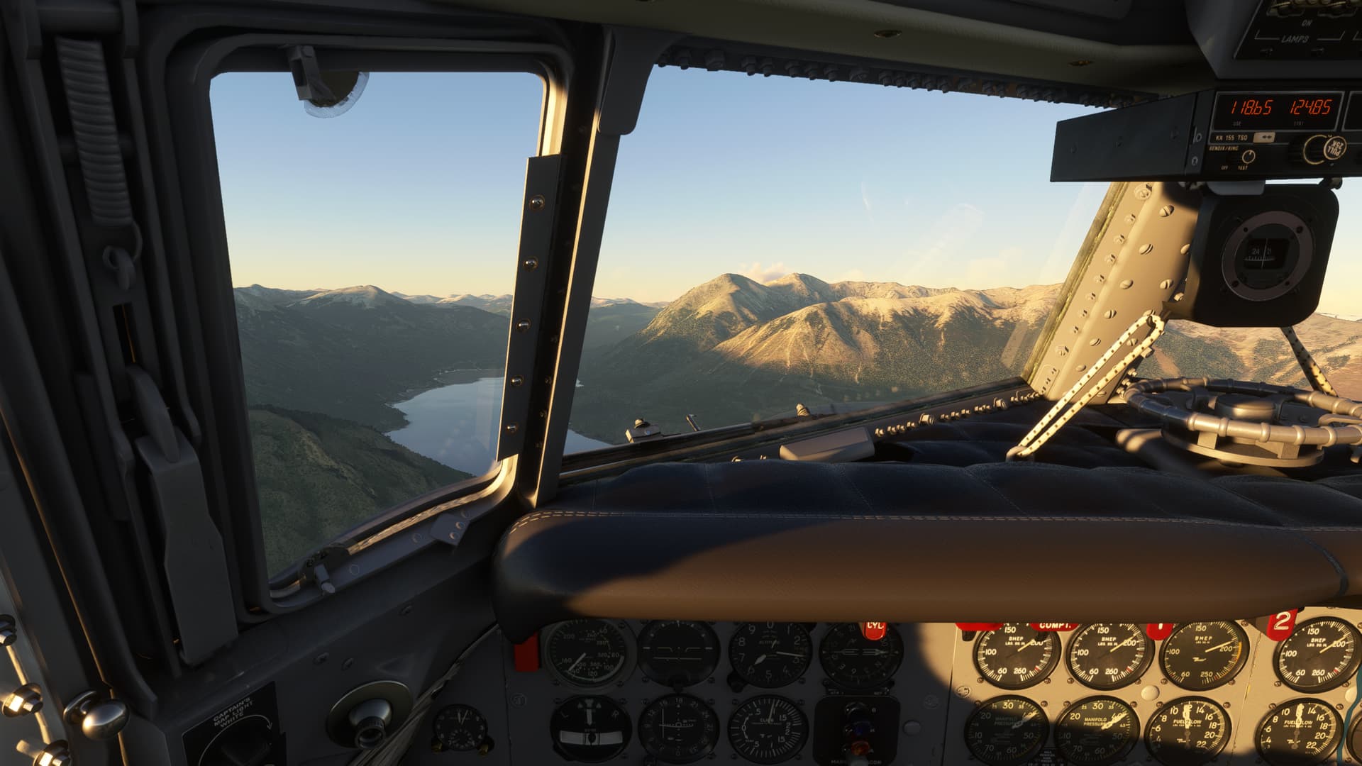
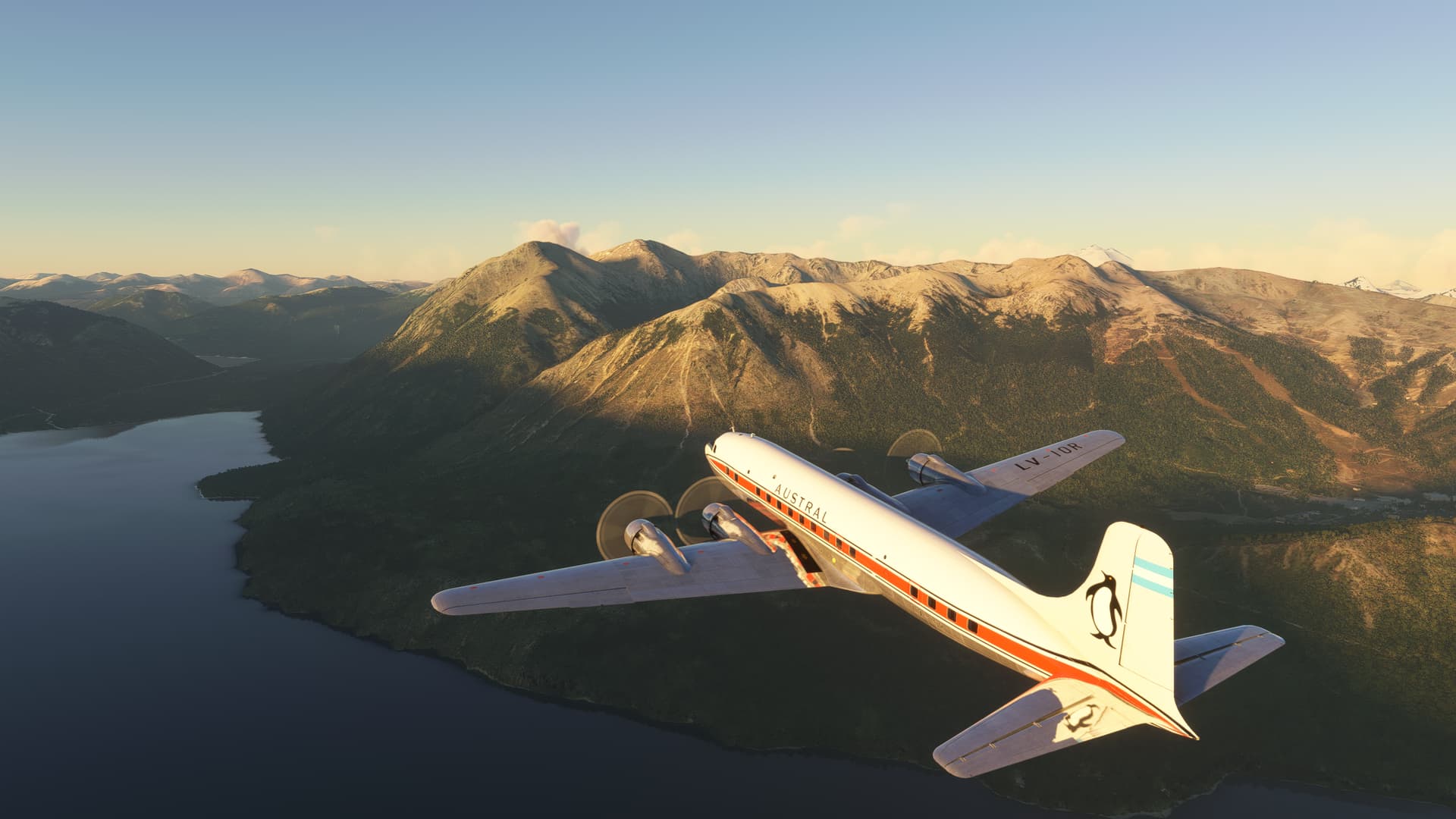
The clouds are trapped in the mountains to the west, ala California. Mount Tronador (I’m sure that I’m butchering all these translations) looms above the cloud deck.
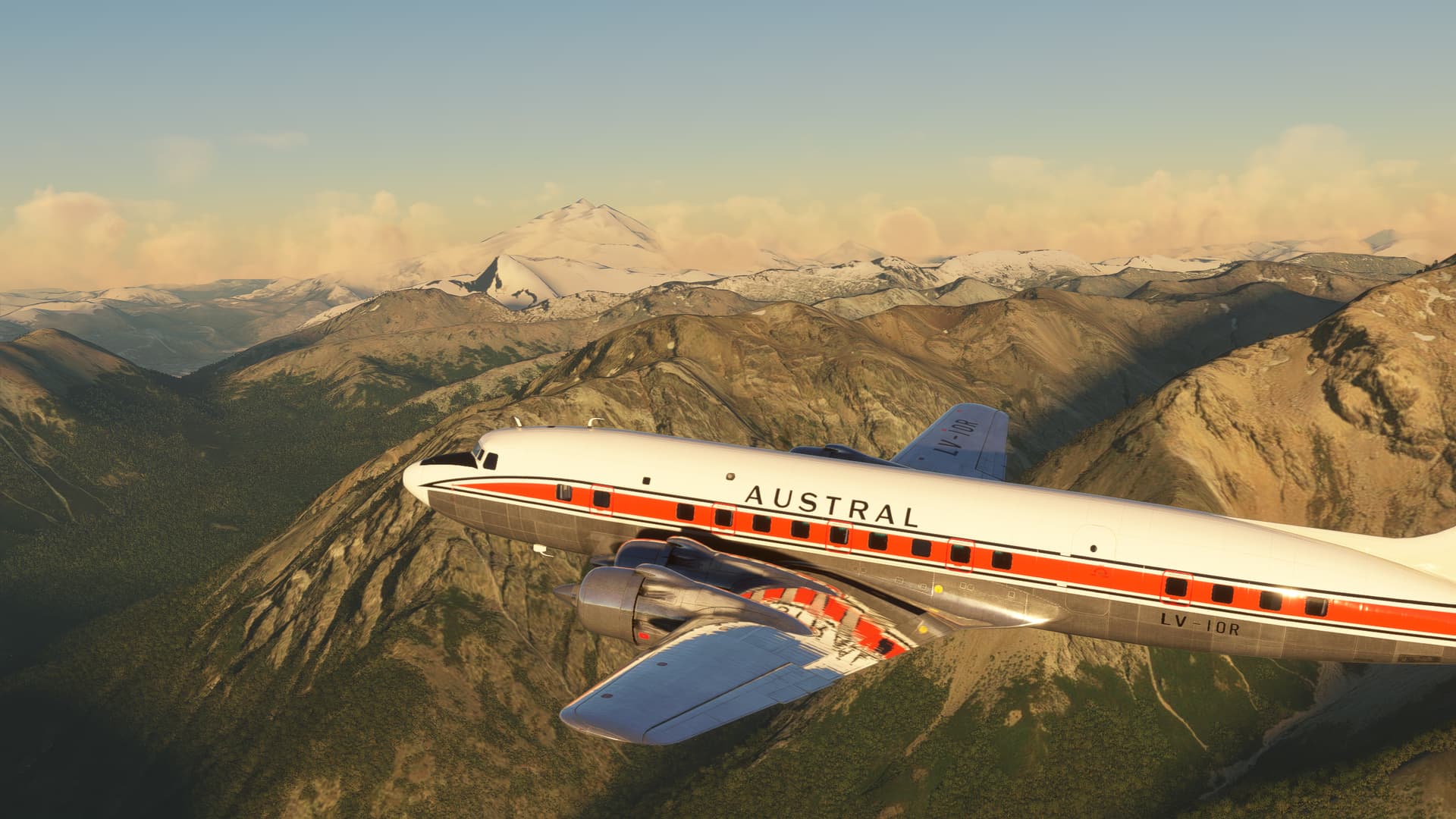
To the left, the sere plains stretch off to the east. Magnificent.
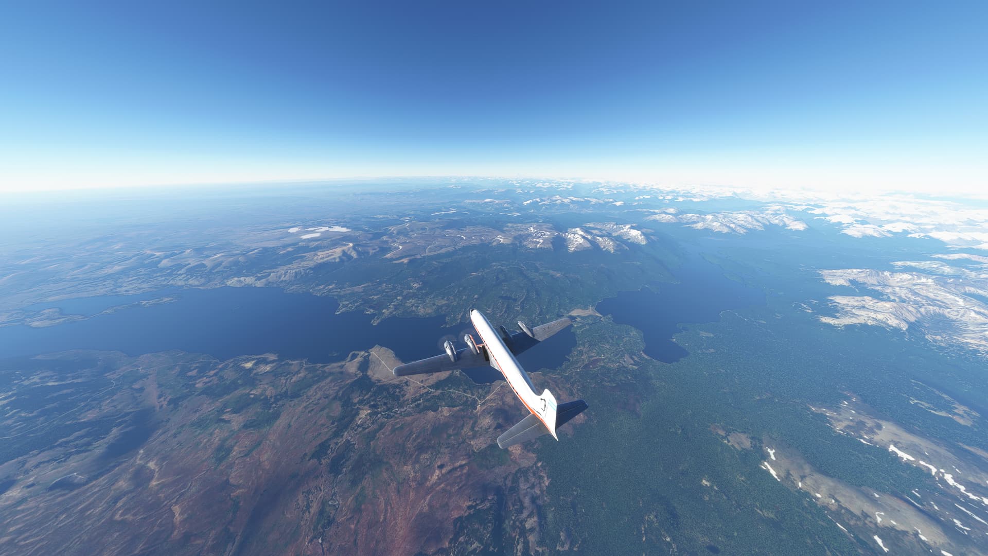
I reach my cruising altitude of FL220 and take up IFL navigation (I Follow Lakes). With the mountains for lateral Nav and the lakes for distance, this is the easiest navigation I have had for some time (forgets to knock on wood).
Here, I pass between Lakes Fontana and Plata.
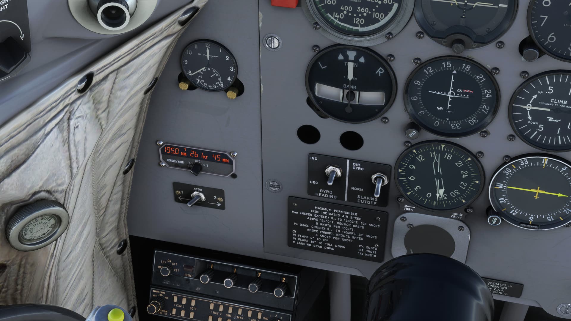
Plus, “would you LOOK at that service volume!”…is something I never thought I’d hear myself say. 
The VOR reception is pushing 195NM, taking a lot of the Providence out of making these long leaps.
And then.
From out of the distance.
It looms…

Whoops, sorry. Wrong movie.
Ahem, it looms…
The Straits of Magellan!!!
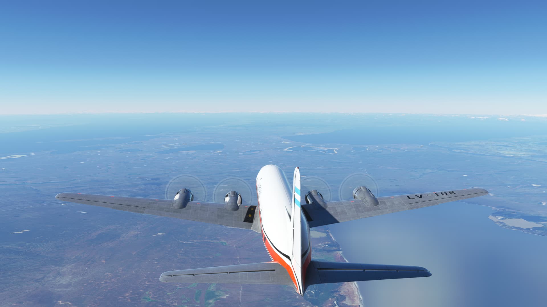
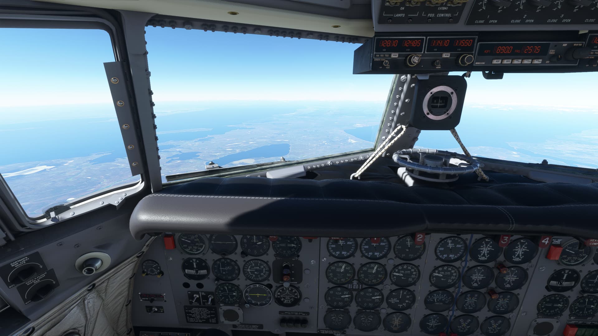
There’s something about being down here that’s quite indefinable. Maybe it’s seeing two great oceans collide out your cockpit window. Maybe it’s the way that the barren terrain sweeps across the horizon, carved by the wind as though shaped by some great artist’s hand.
But there’s a feeling, almost inescapable, that you are coming to the end of the world. I can see why ancient explorers thought that there might be dragons here.
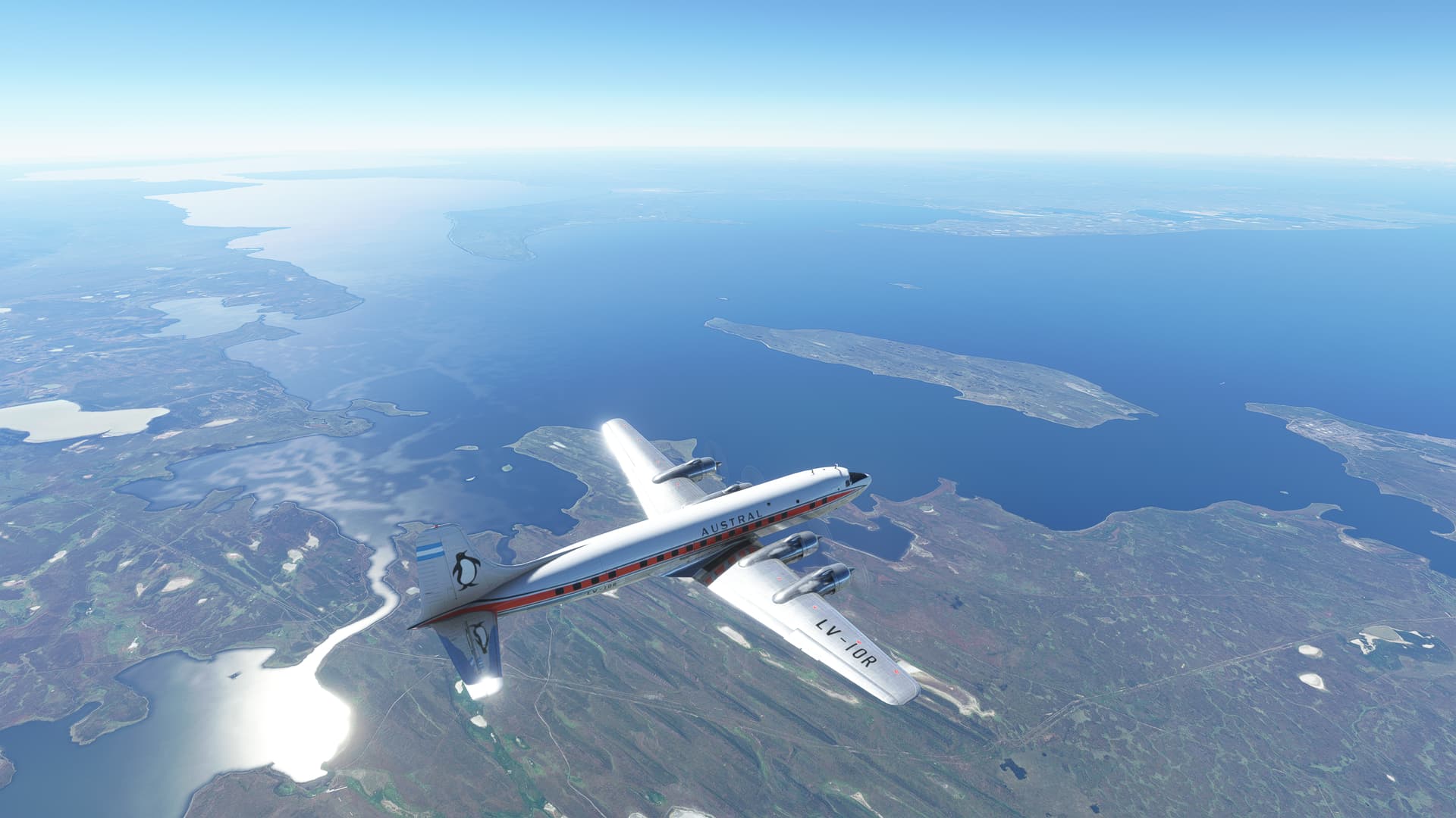
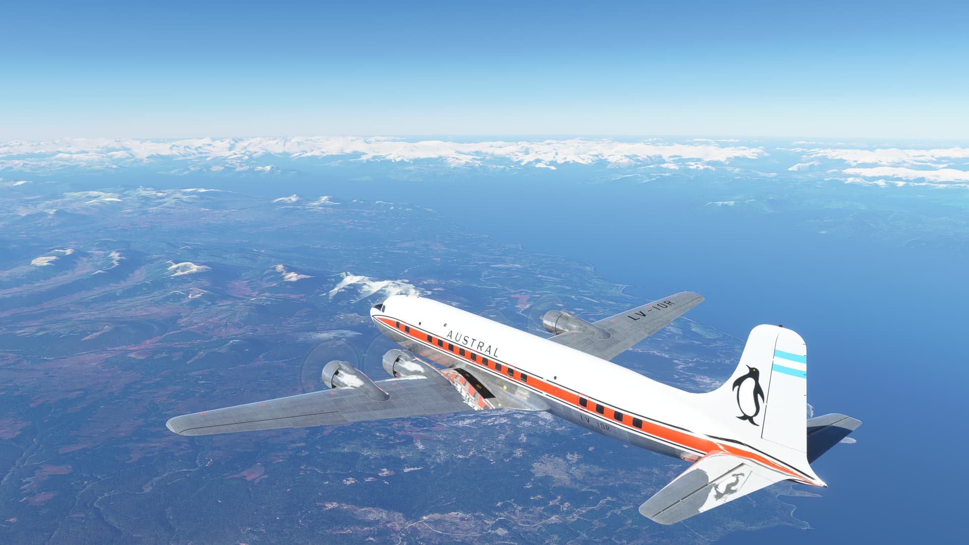
At this point I decide to update my weather before passing by the last airfields of the continent.
Hmmm, not so great.
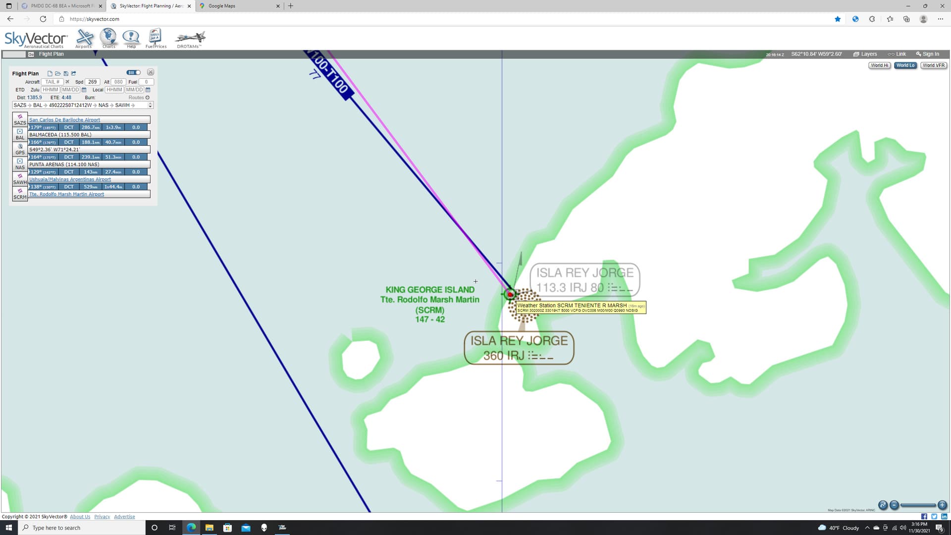
Still, I’ll be coming in over the sea and the terrain is relatively flat in the vicinity of the field. I should be able to manage 600 and 1,…
I press on.
Perhaps feeling disrespected, the weather gods decide to crash my computer. I’m talking BSOD here. I have no idea what caused it. But when I reloaded the sim and resurrected my flight, winter had come to Tierra del Fuego.
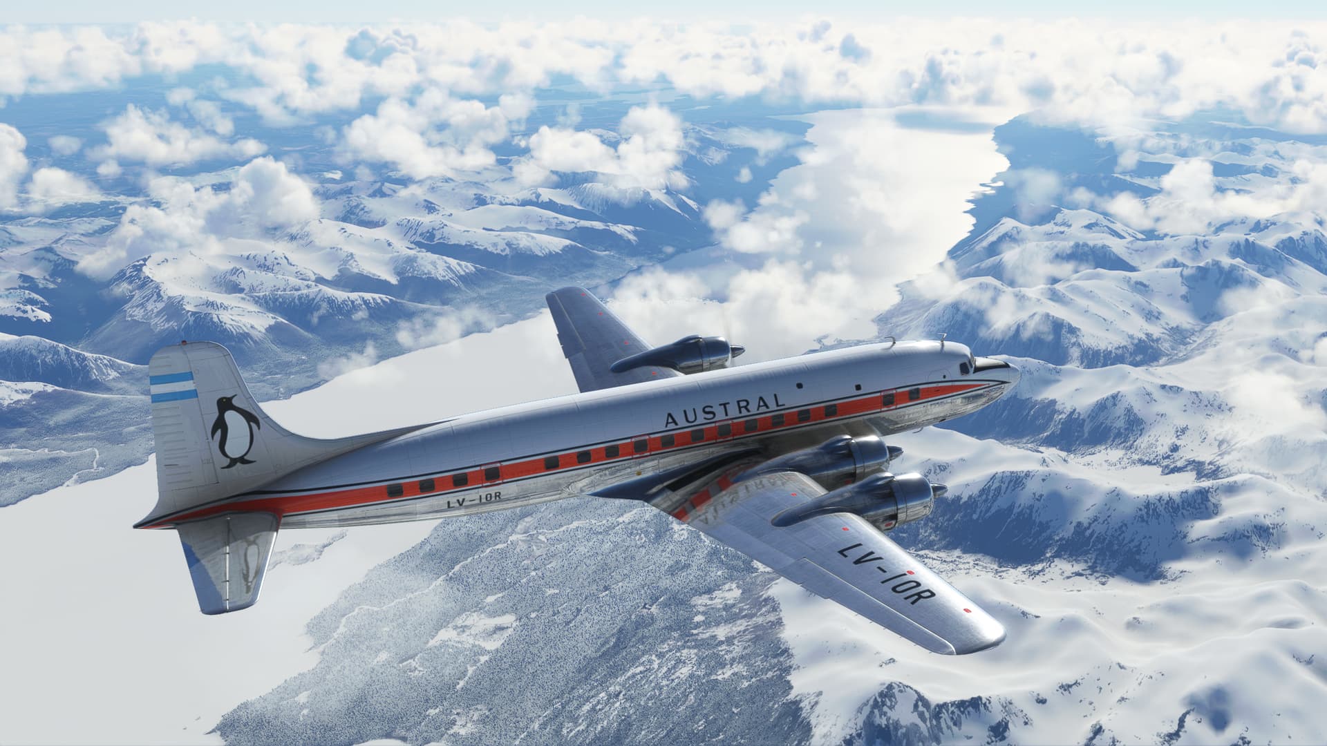
Ushuaia and the Beagle Canal. Last gas for 500 miles.
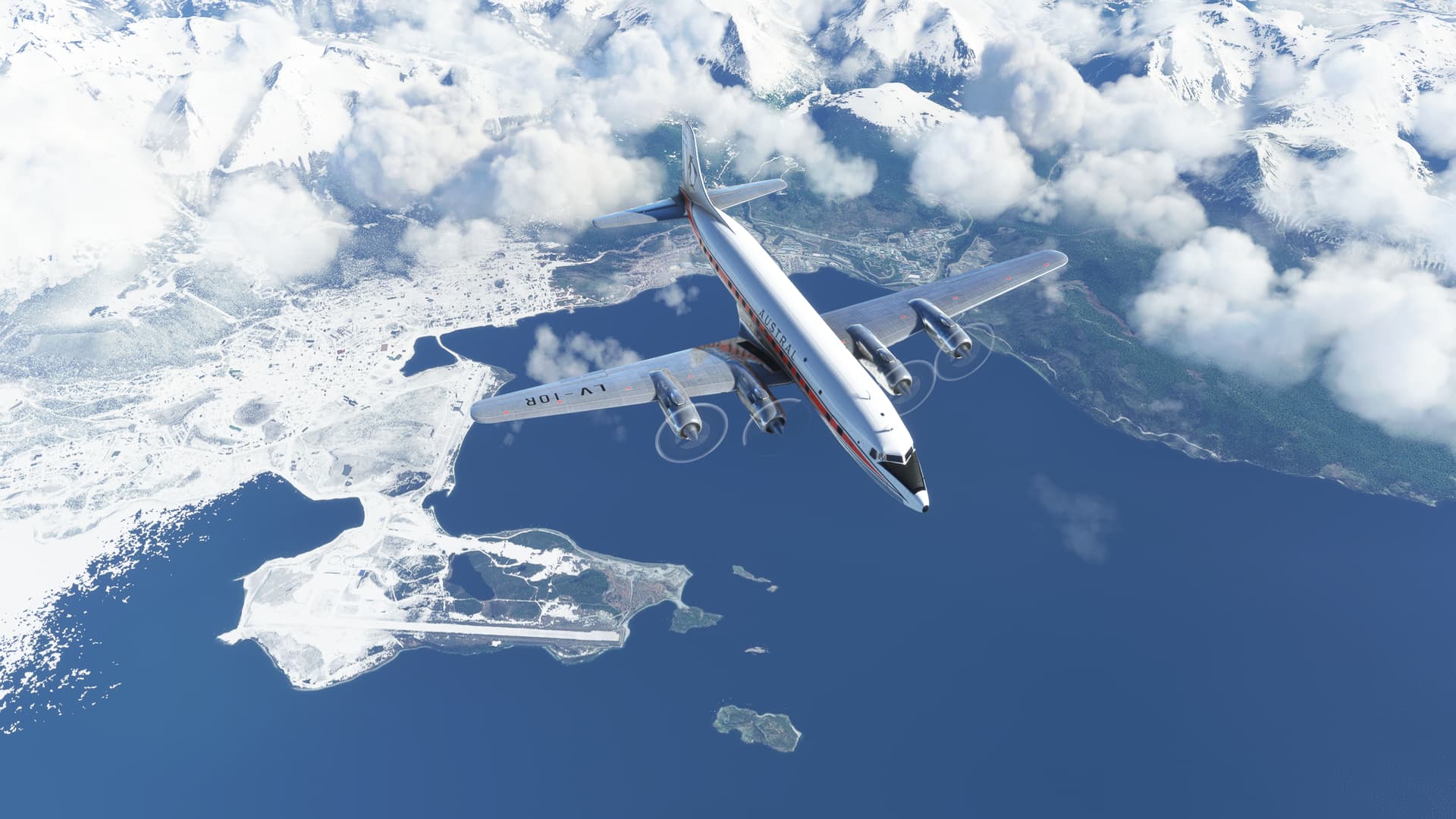
As I navigate the Wollaston Islands and the last land of South America, I admit to feeling a little trepidation. You can almost feel the icy winds sweeping across the barren slopes and the lonely sea beyond.
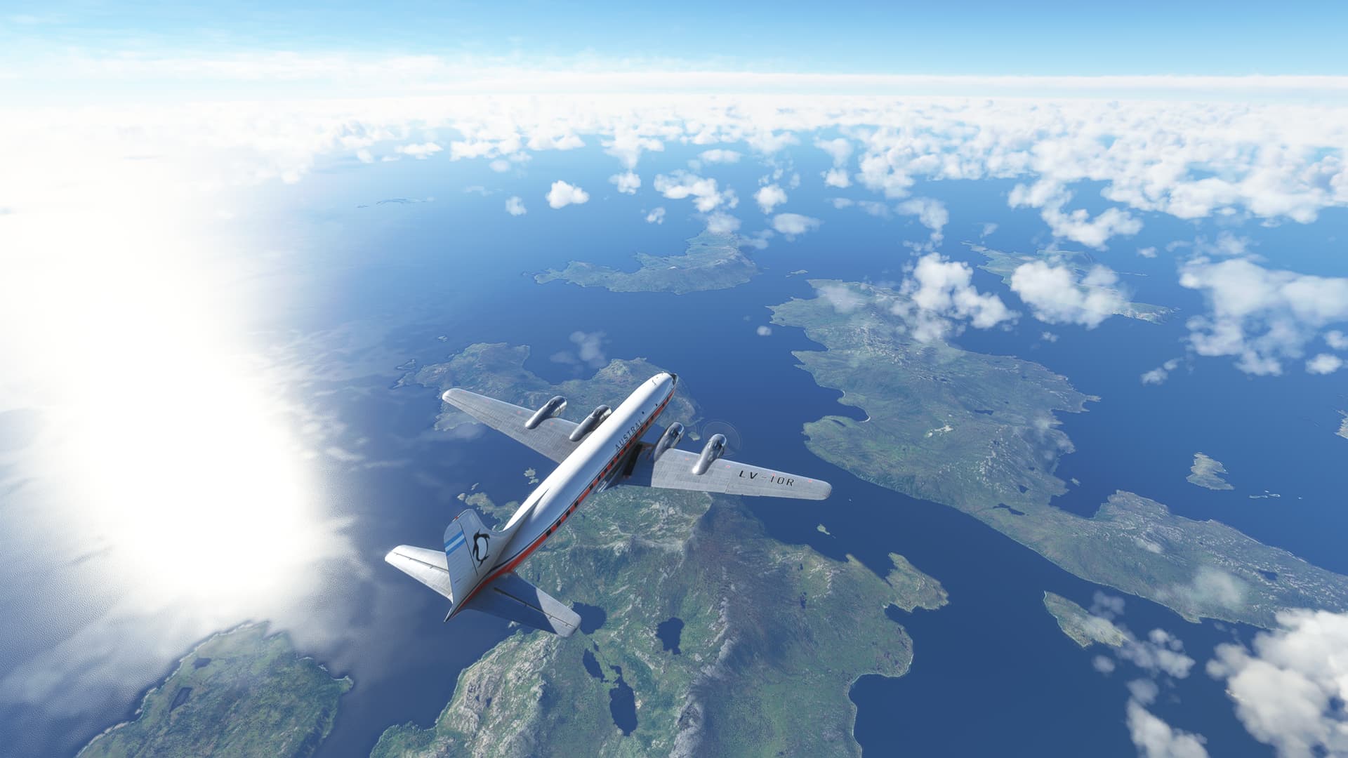
The weather initially looked cold but accommodating leaving the land behind.
As with any good flying story however, the puffy scattered clouds of Cape Horn gave way to a thickening undercast and a nice thick layer of icing at my altitude.
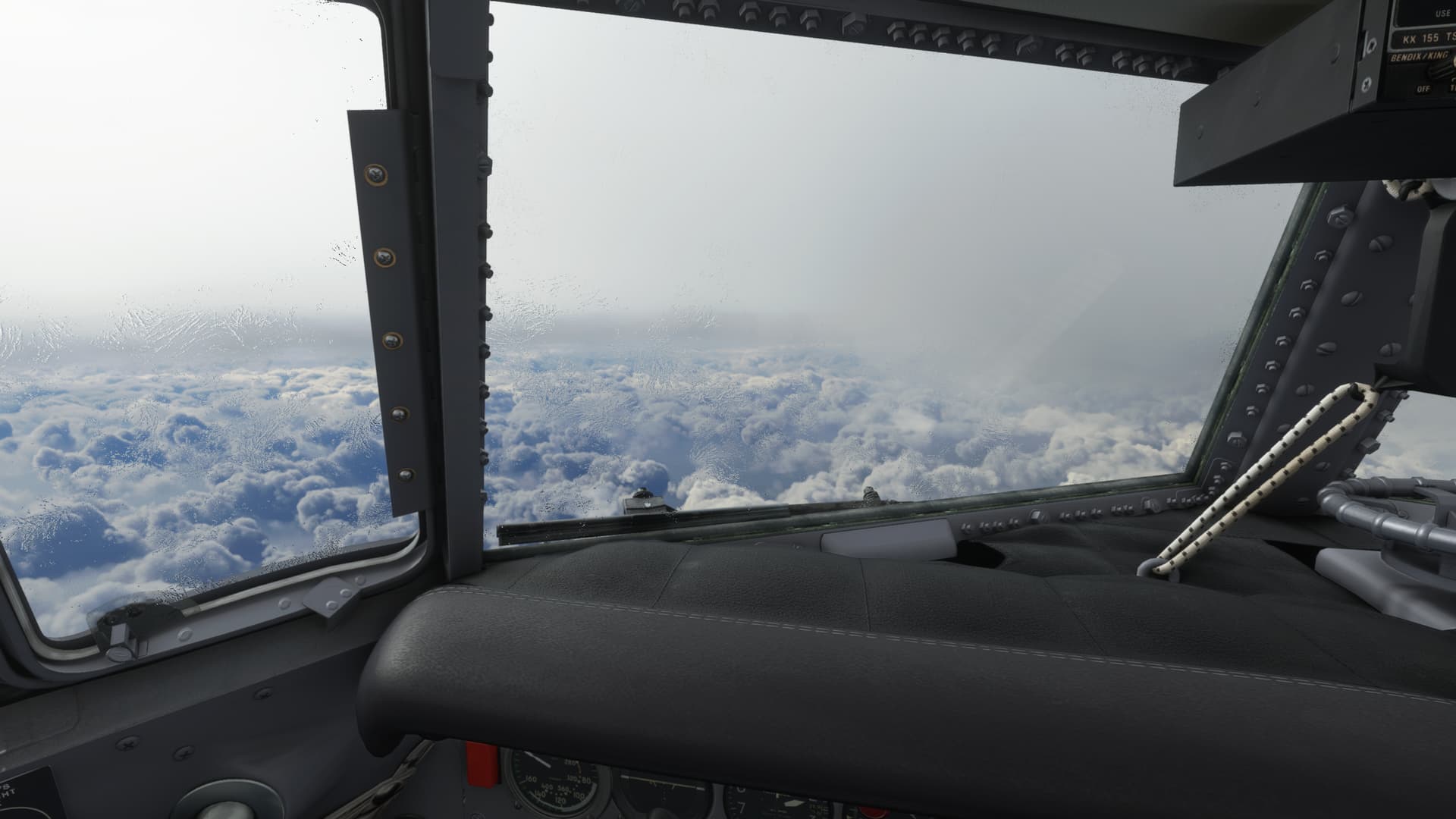
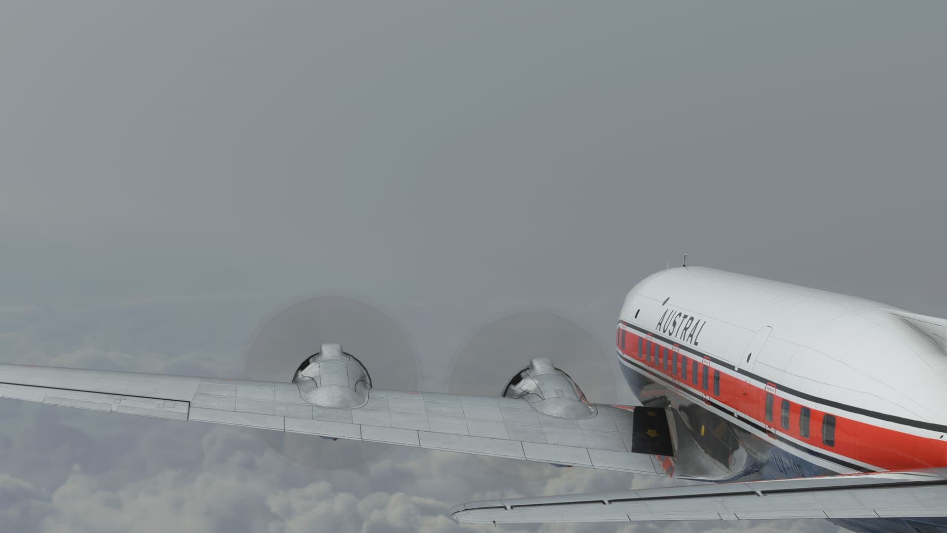
Well, this seems straightforward enough. 
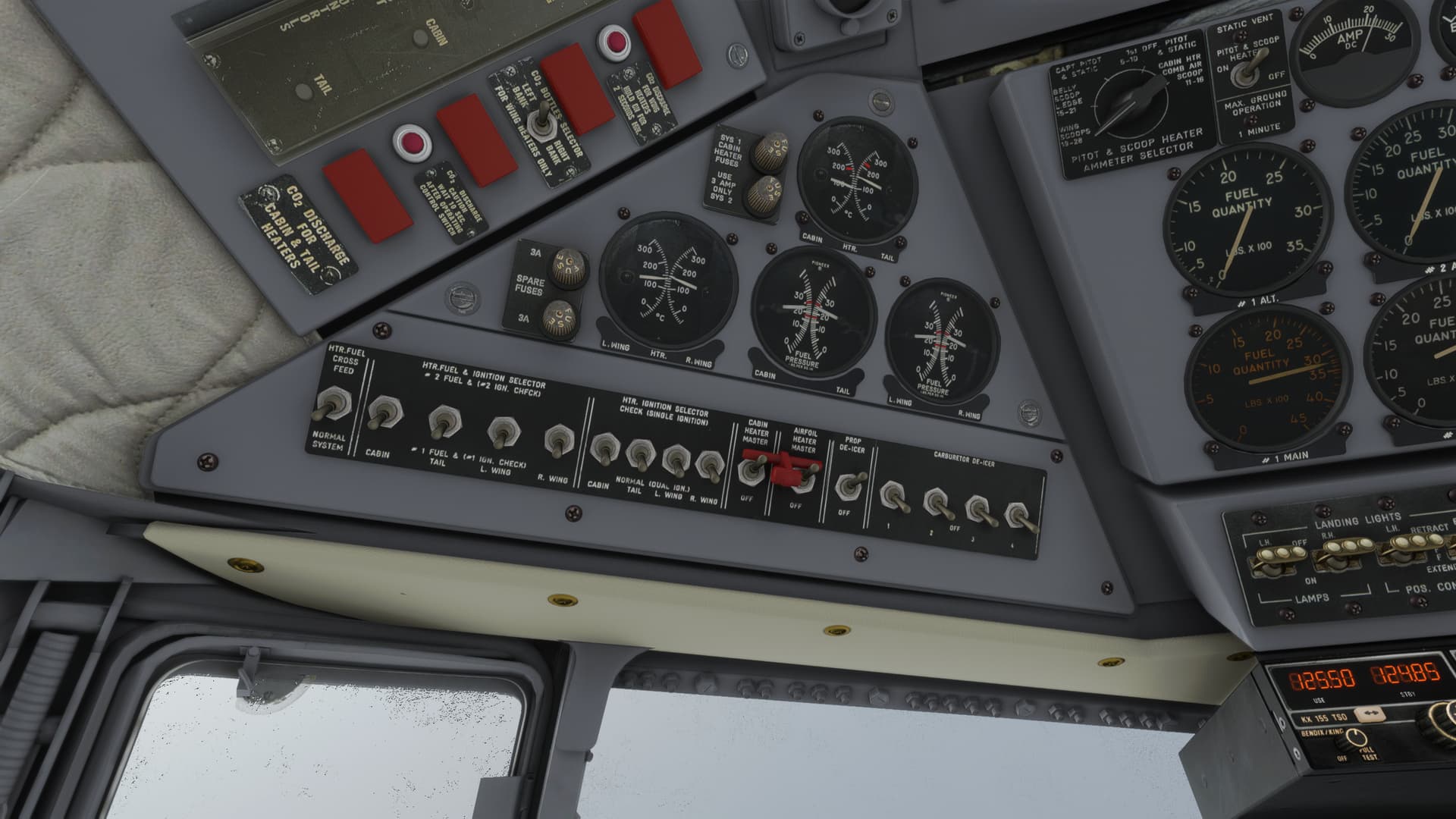
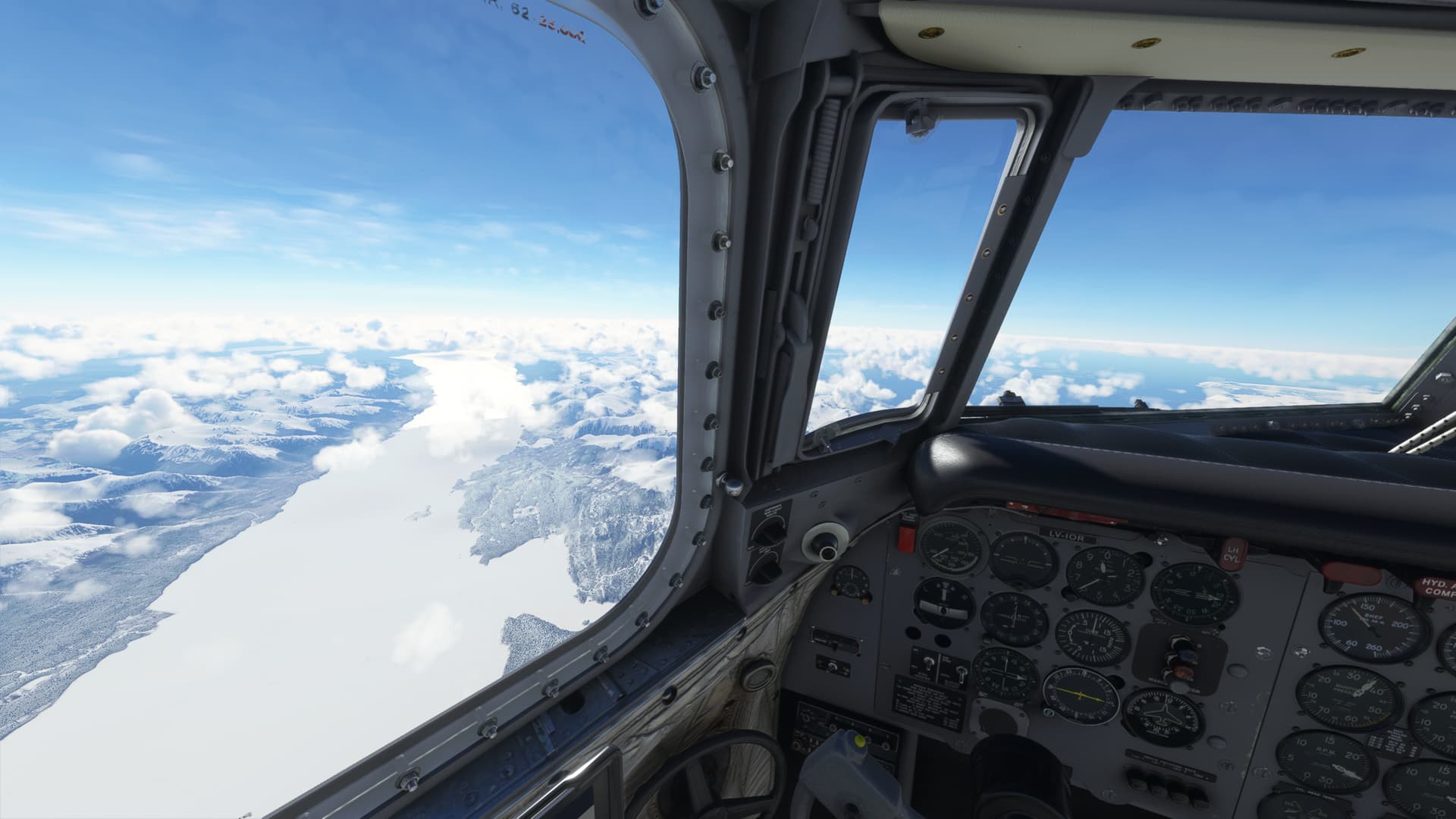
Actually, the anti-icing suite in the DC-6 is pretty robust. In fact, the window heater completely clears my view.
Hey, the weather is clearing up ahead. Looks like smooth sailing from here on out!
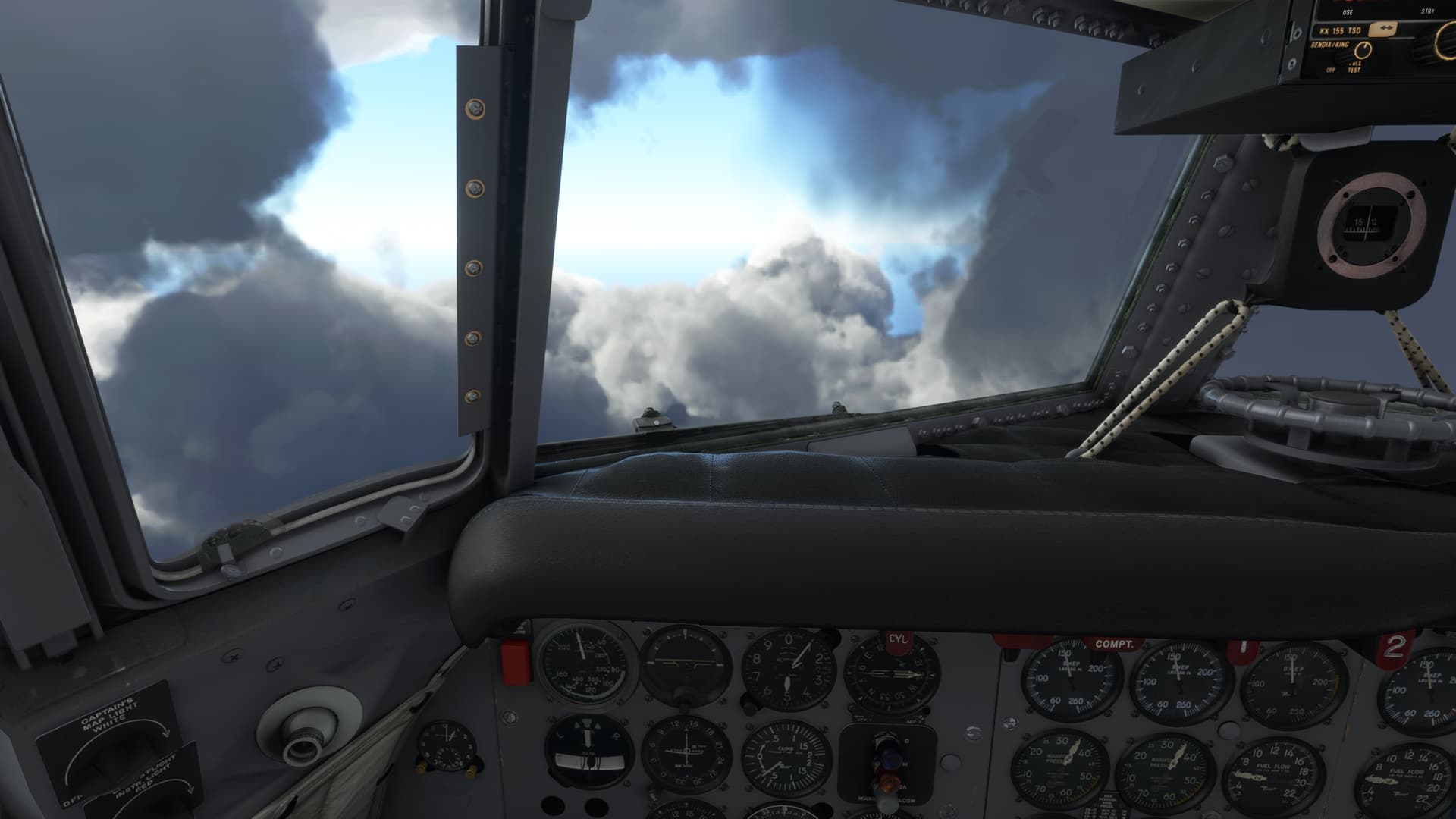
OK, that’s a bit surreal. Kinda cool though. It reminds me of that WWI minigame included in the first versions of FS. The one that feels like you are playing in a gigantic pizza box.
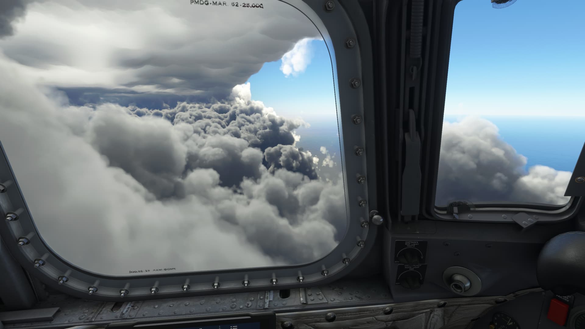
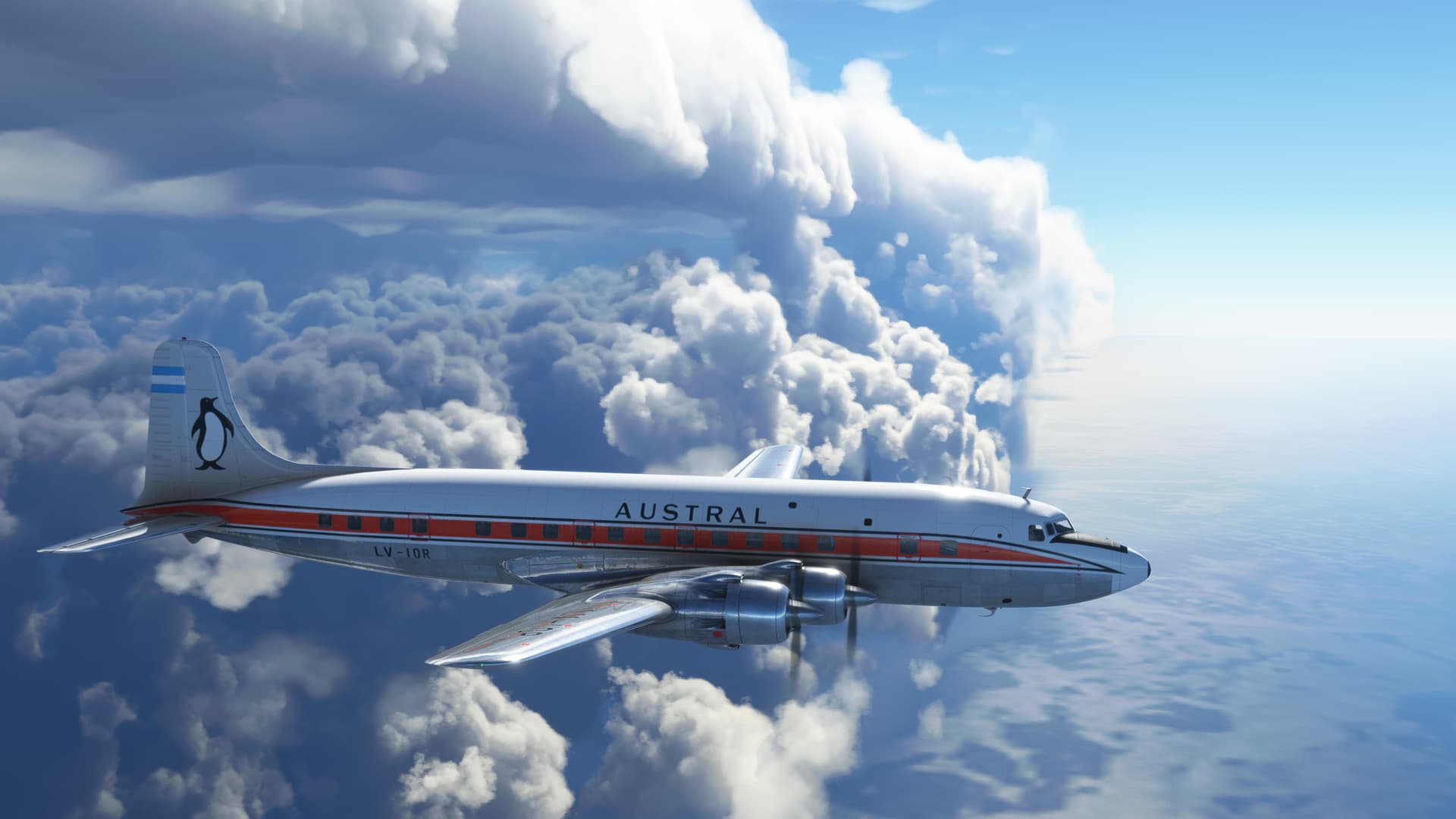
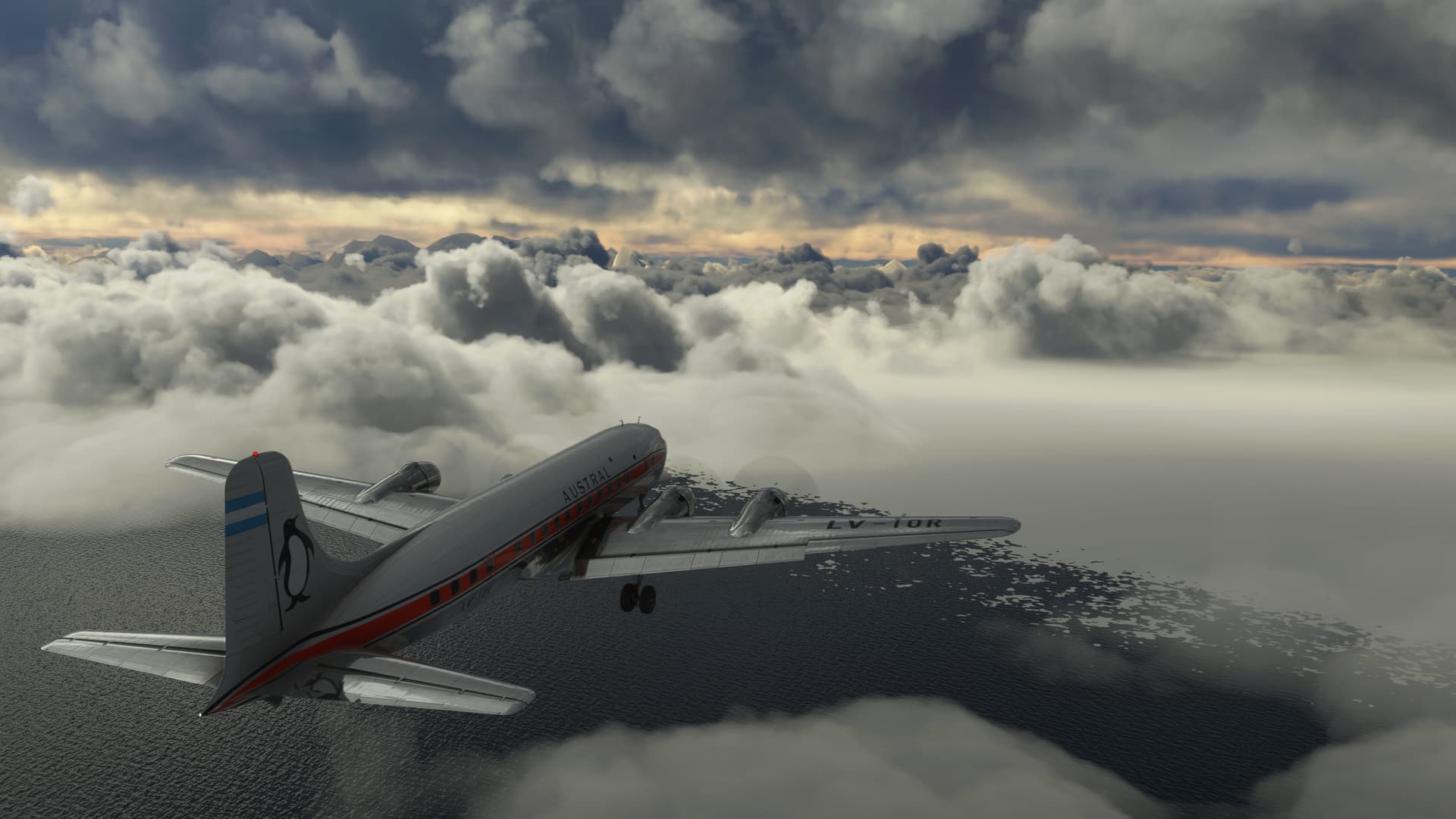
Well, so much for smooth sailing. I plunge back into the multilayered cloud.
Still, there’s something amazing about weather in MSFS. It really kind of does that, footless halls of air thing really well.
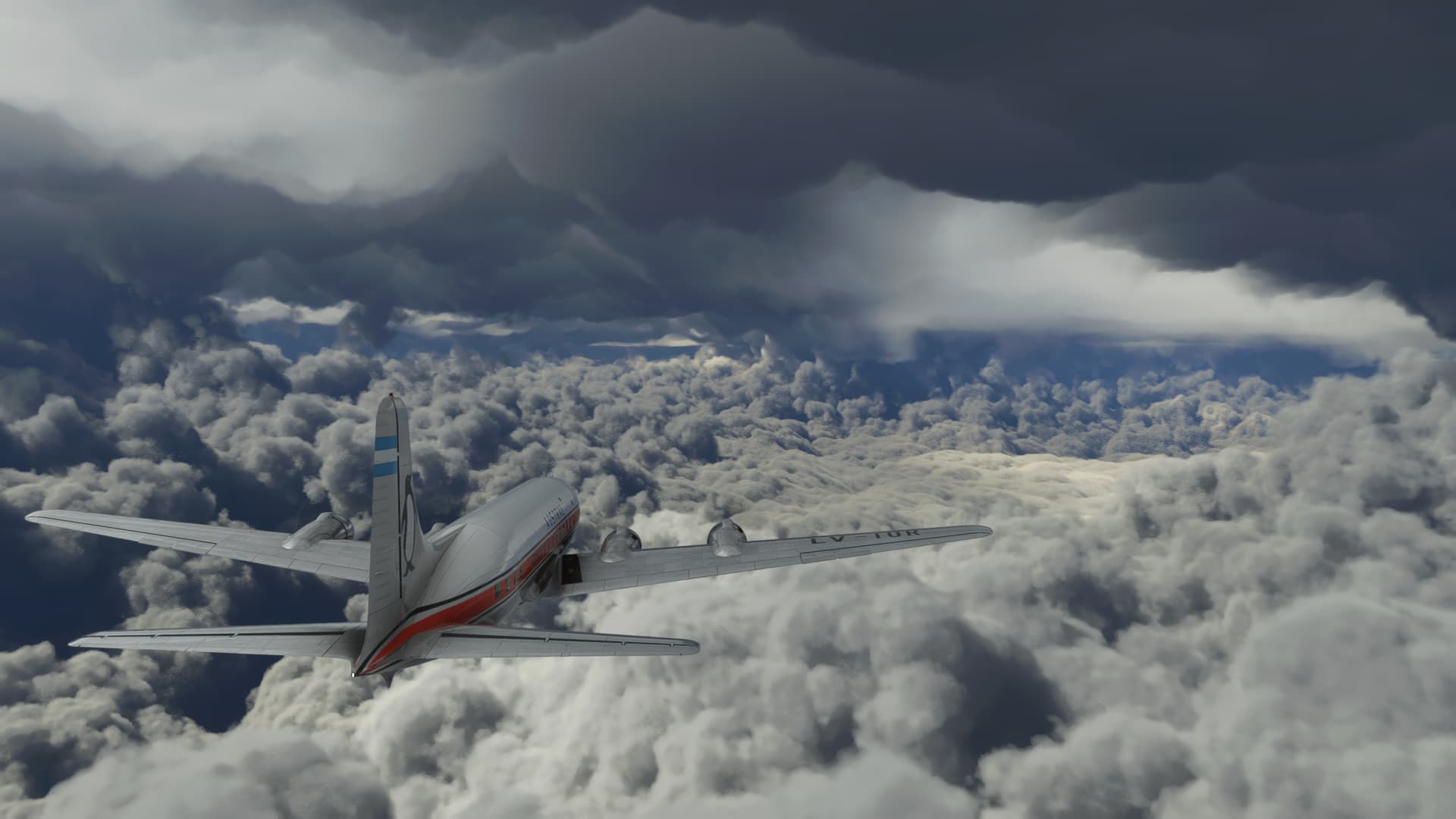
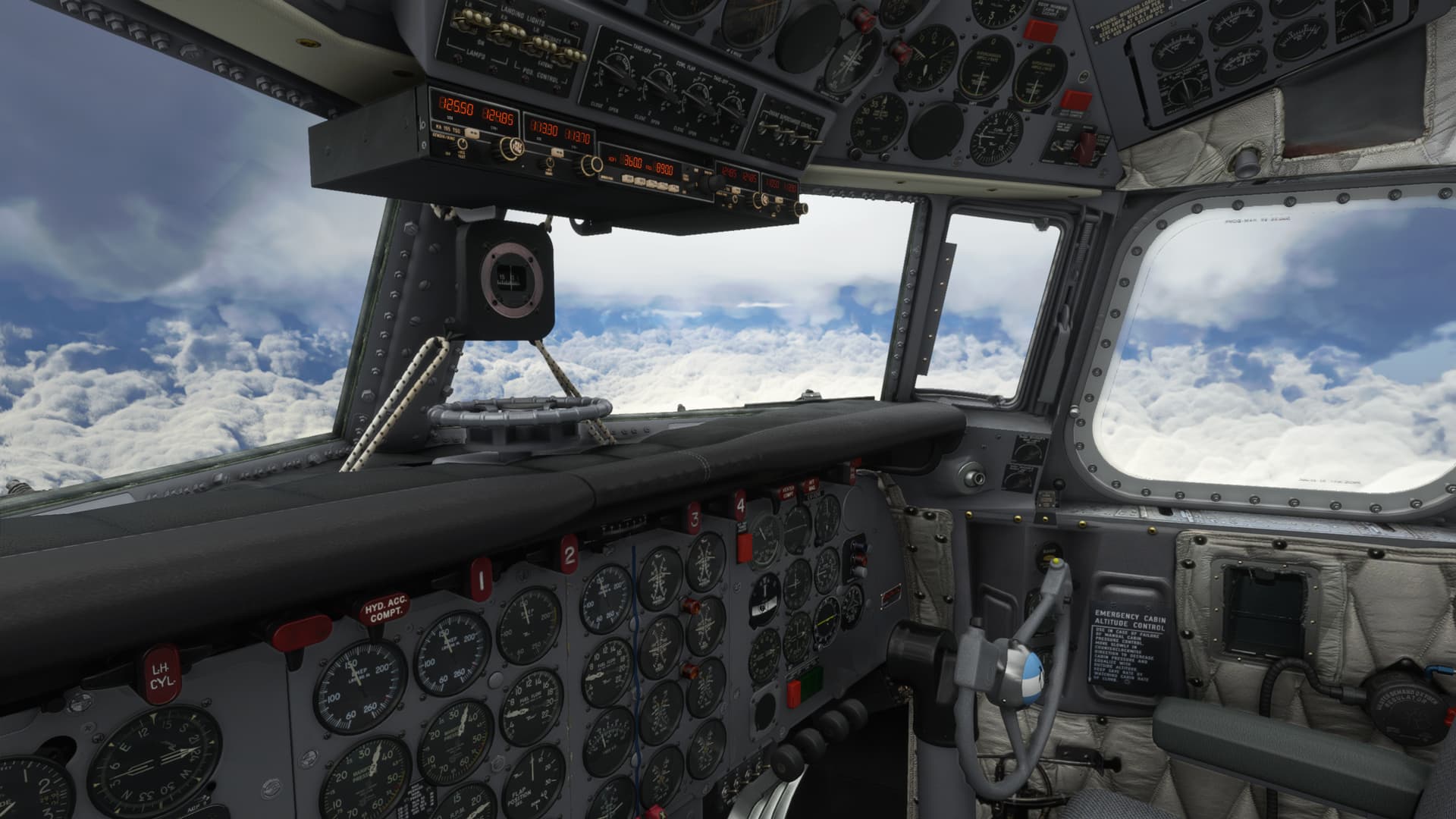
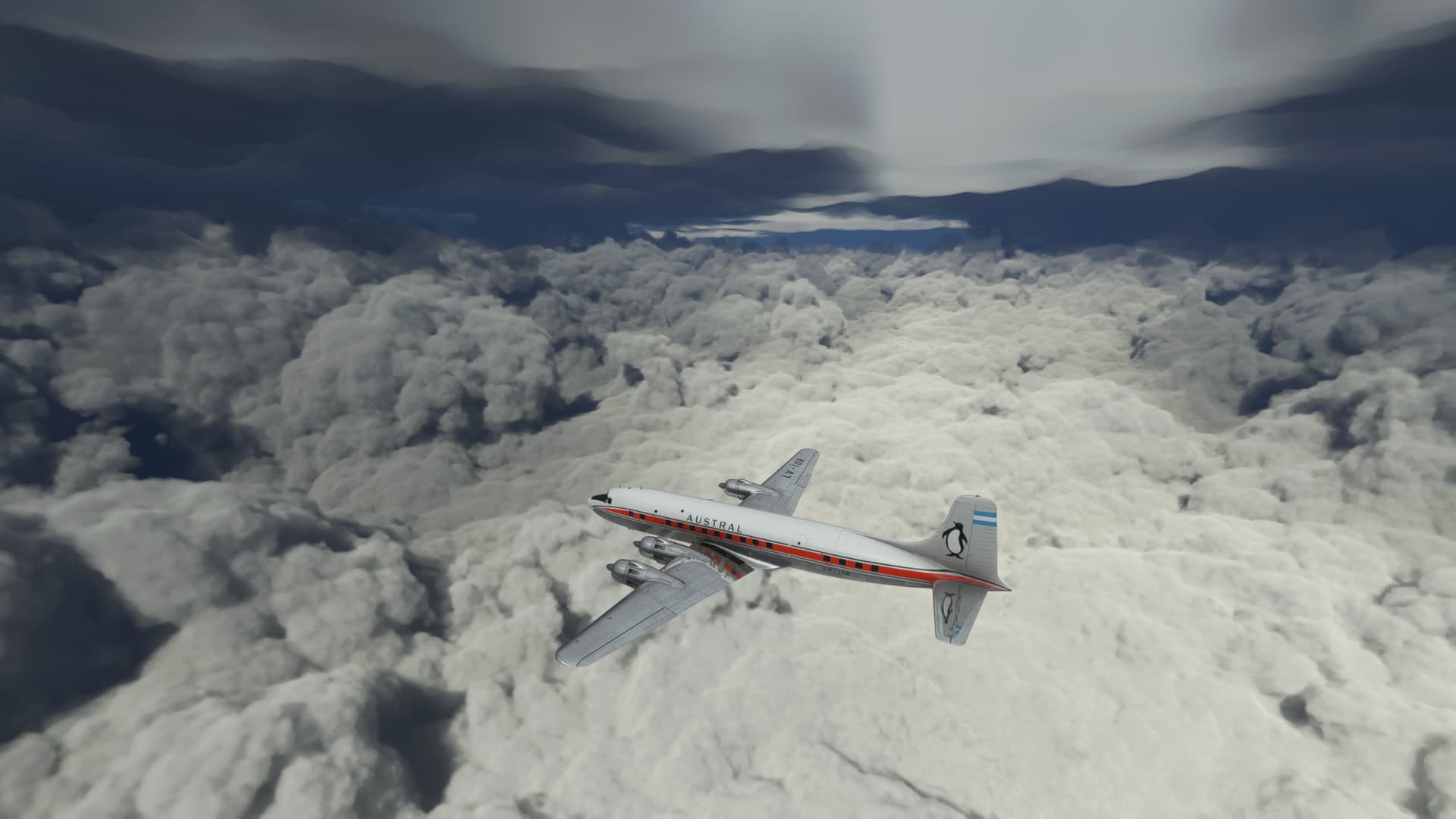
Time for the letdown. Glimpses of the sea below me give me hope.
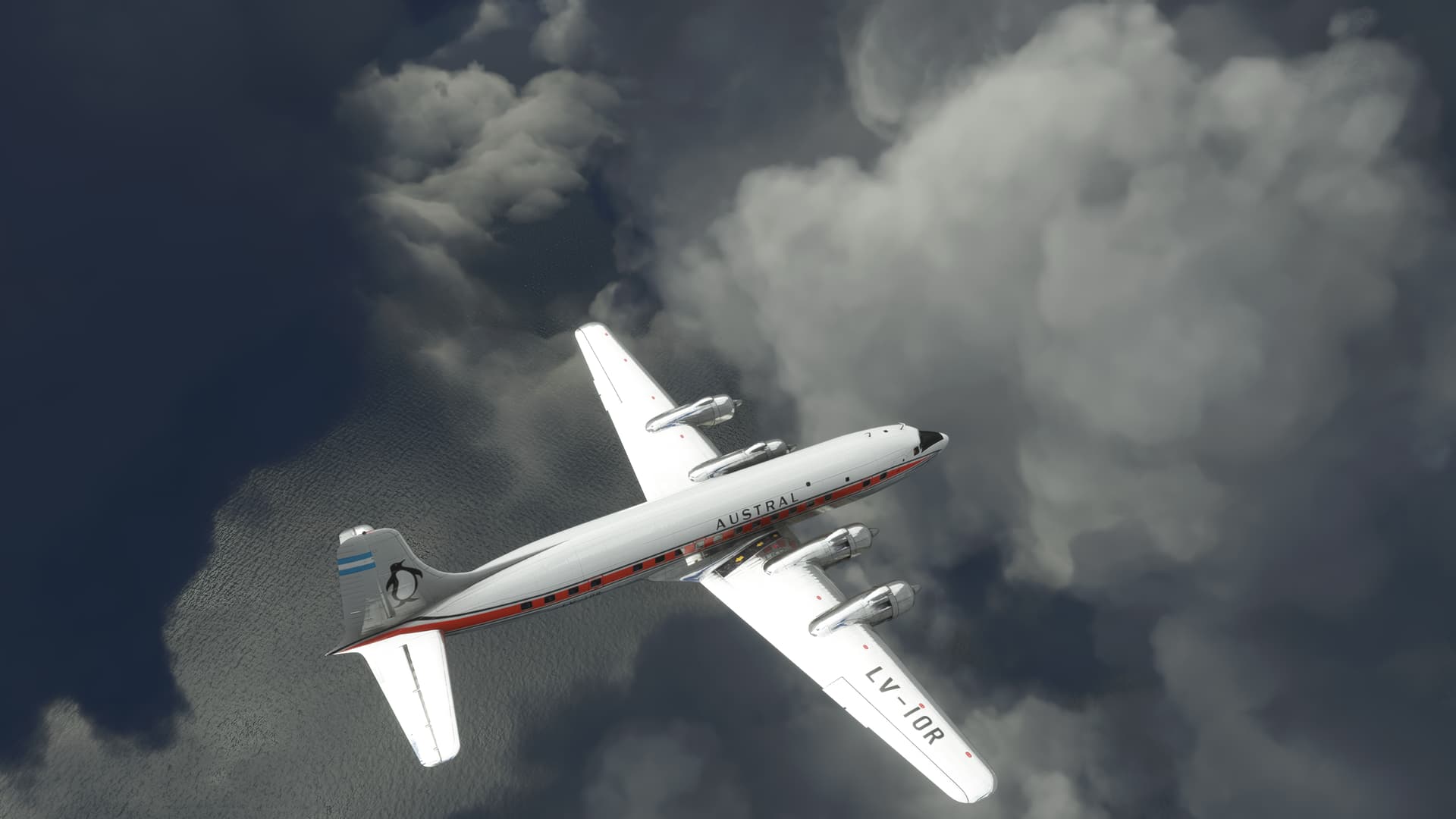
As I attempt to descend below the icing, the layers seem to go on forever which seems all too familiar from real life.
Eventually, I break out of the high overcast. There’s still a scattered to broken layer below. But it should be no lower than 600ft. I think a nice, stabilized descent following the runway aligned VOR course should work here.
I configure and start my descent as I cross into the polar icepack.
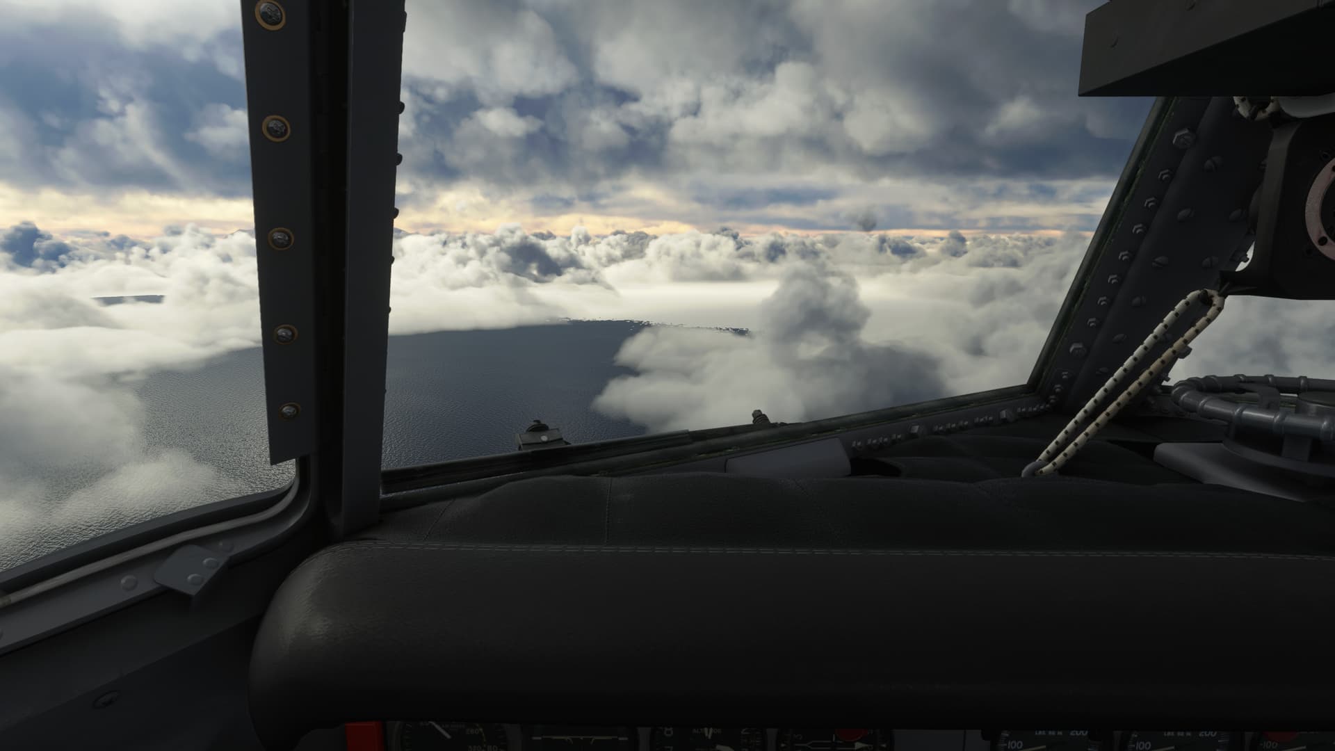
I go into the soup. More like stew. This stuff is thick. I’m trying to work a rough three to one descent as
I pass 1000ft.
But I don’t break out at 600.
Or 400.
Or 3.
Suddenly, the field springs up out of nowhere. It’s completely disorienting. With the featureless white snow and the featureless white cloud, I can’t tell one from the other. The runway hangs suspended in white space.
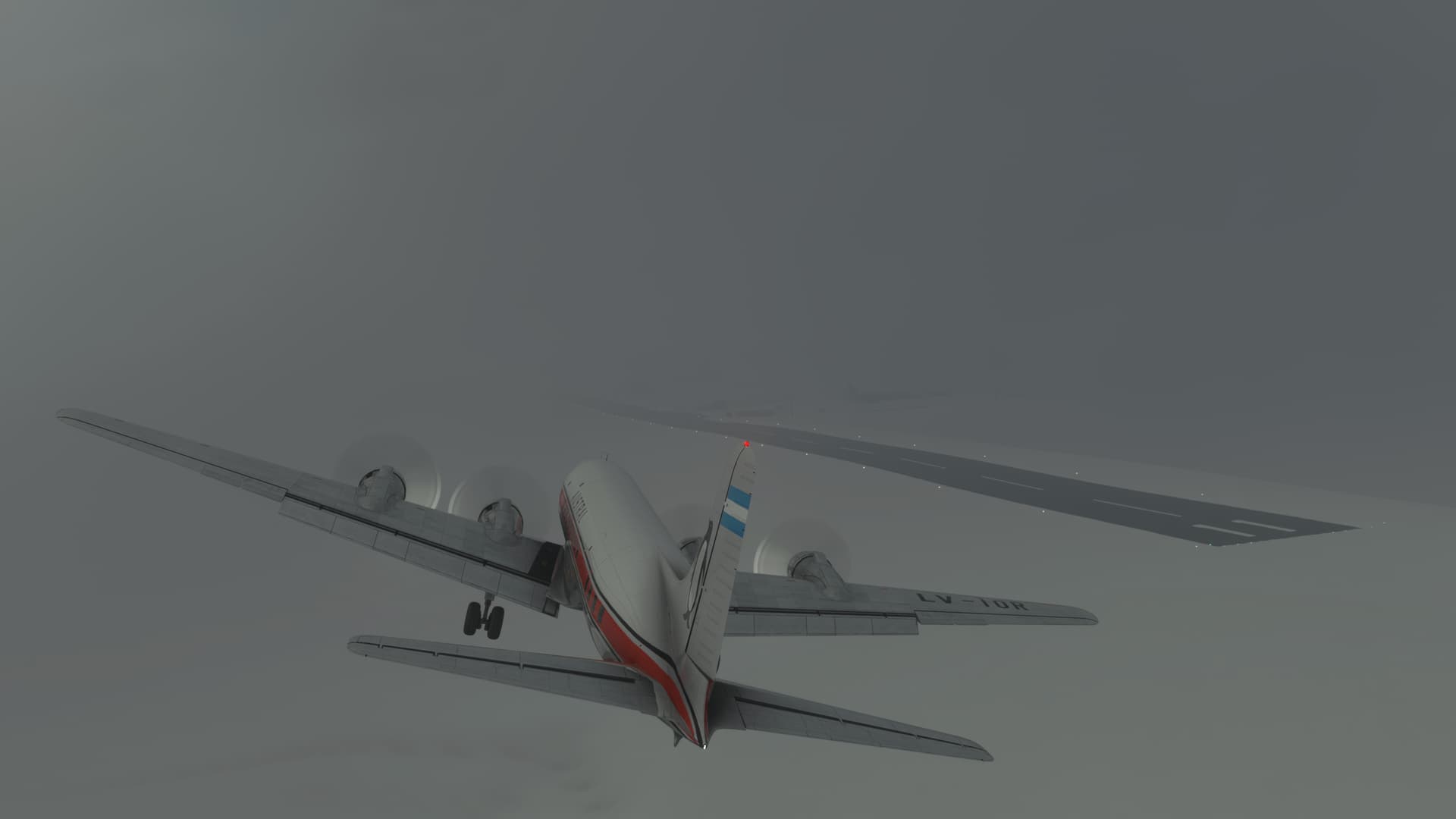
There is no way that I’m going to make it. I go around.
Reversing course, I pass over the field at 1500ft. I need to see what I can see down there.
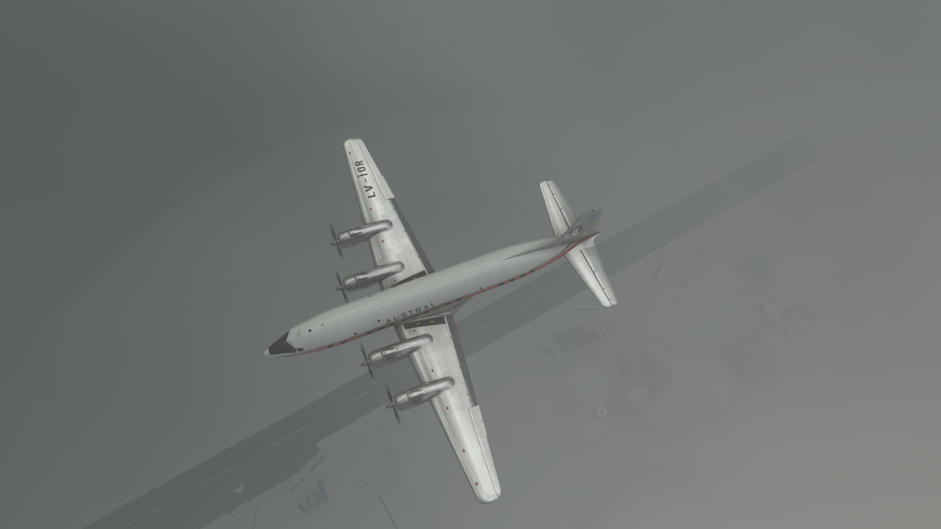
I set up for a makeshift teardrop approach back into the field. The VOR is set up to the left and beyond the runway however which doesn’t exactly make for a straight in. My second approach predictably brings me in left again and the ceiling and viz are just not allowing me to break out the field early enough to make a correction.
I begin to go around again.
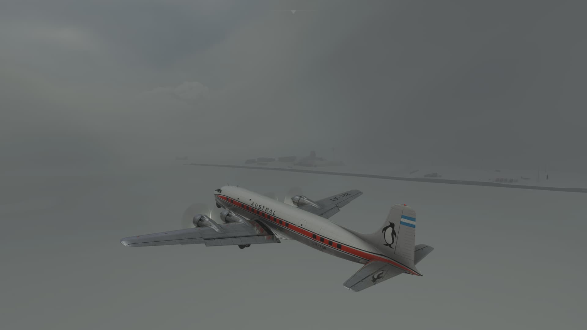
I can see the runway at present. But the ceiling feels closer to 300ft than 6, and the snow and clouds are almost indistinguishable from each other. The terrain is indeed flat around the field, but I guarantee that there is a hill taller than 300ft if I get much beyond the airfield boundary. But, if I can run the scud and keep the airfield close, maybe I can hook it around to make a landing.
Hmm, this situation seems to require a really futile and stupid gesture be done on somebody’s part.
And I’m just the guy to do it.
I wrap the aircraft around in a right-hand turn towards the runway. Keep in mind that I’m on the left side of the aircraft.
How I manage to not crash into the ice is anyone’s guess.
I catch the runway in glimpses. Then lose it entirely. I turn in to bring the VOR needle to the nose.
There’s a slight conurbation ahead in what I take to be the ground. The runway pops into existence to the left of my nose.
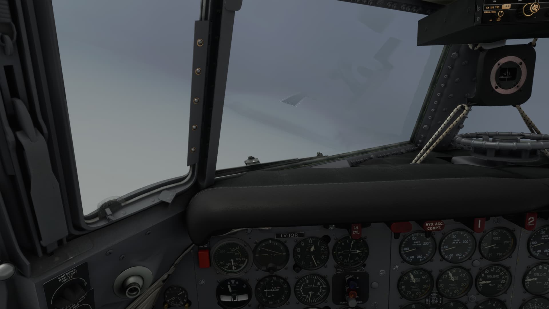
It’s as good as I am likely to get. I dump in final flaps and make a play for it.
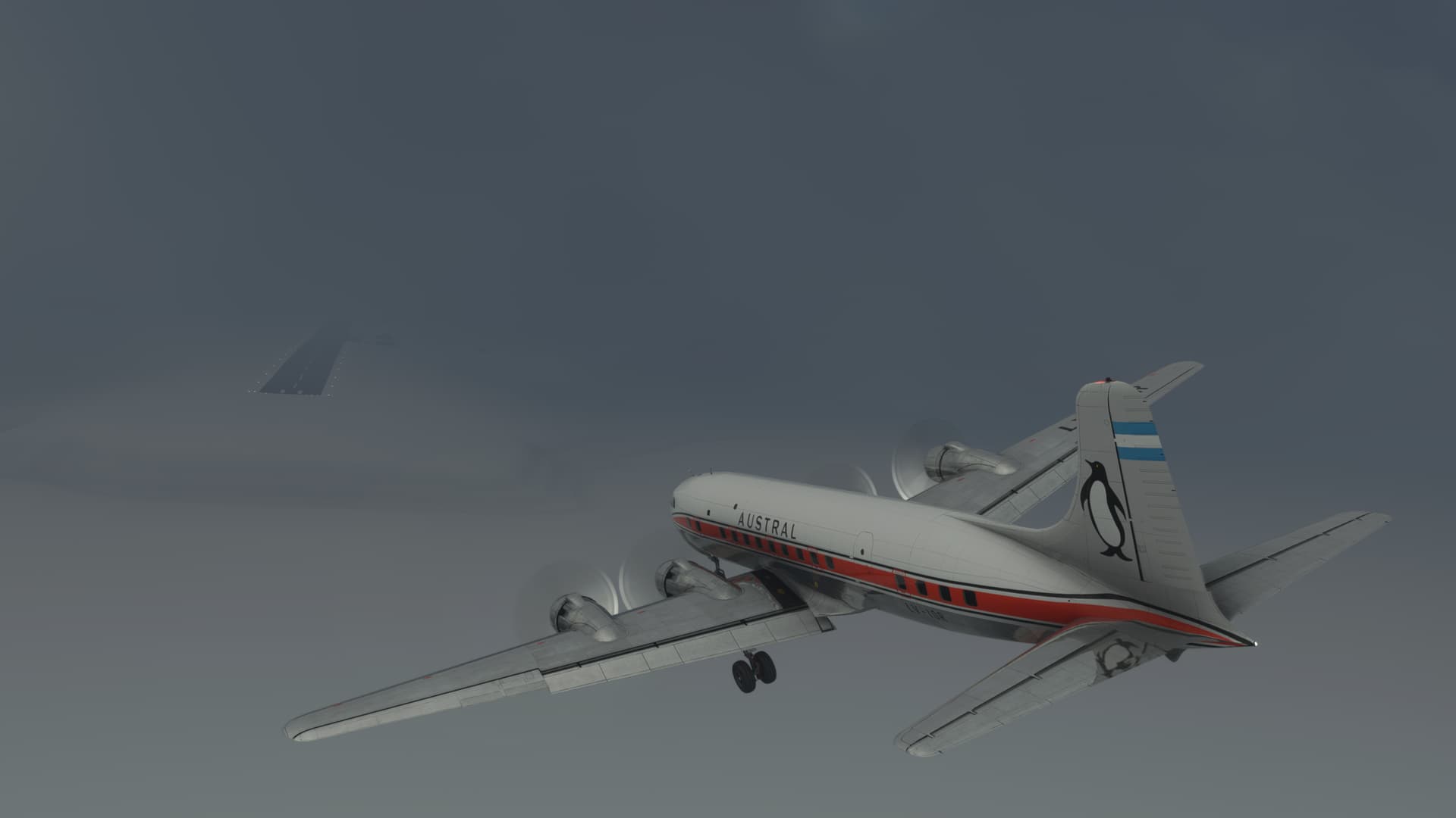
I pound the 6 onto the runway about a third of the way down, well left of centerline but tracking basically straight, and jump on the binders.
I slow to a sweat soaked stop.
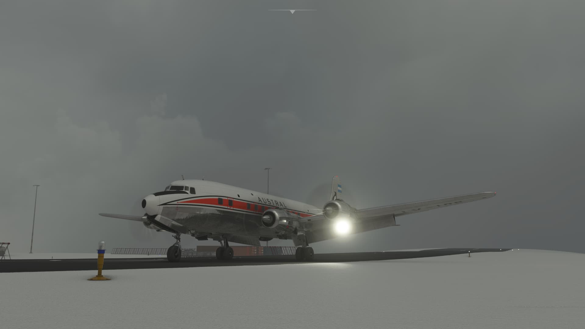
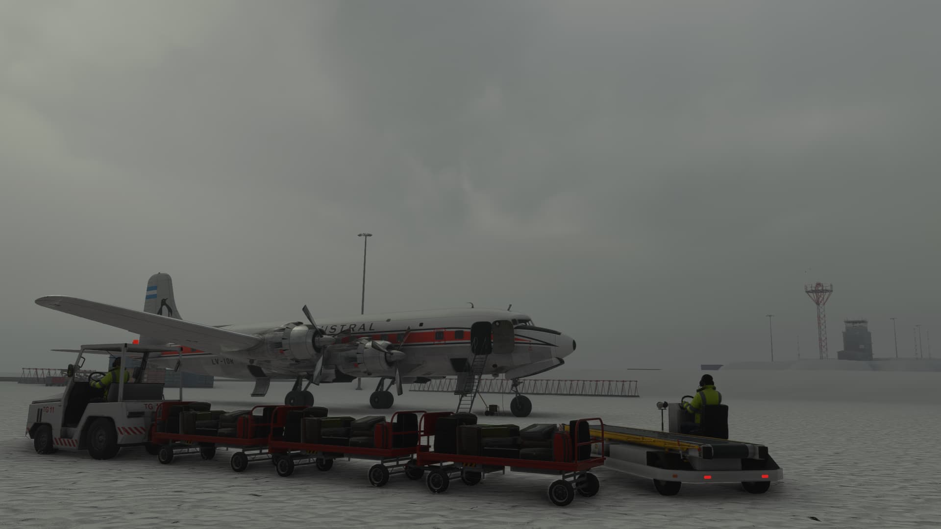
Welcome to Antarctica. Please be careful when accessing the overhead bins. Your luggage sure as Hell has shifted in flight.
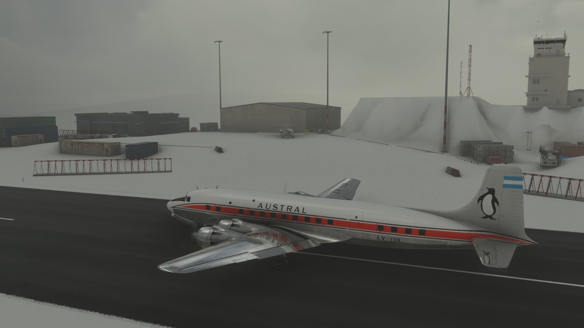
Well, I did not think that I was going to pull that one off. If this had been real life, I never would have flown again…cause they would have torn up my license!
14 Likes
Epic DC6 AAR’s @Deacon211 and @Bearhedge ! This trek has given us some of the most nail biting, visually stunning and well written AAR’s in the history of Mudspike Christmas Treks!
I’m planning to hit Antarctica too, although I might do that as an additional ‘side quest’ after I get to Stanley. It’s December 1st, the clock is ticking and my work schedule is getting busy… I should make it by December 25th though.
10 Likes
Wow what a story @Deacon211, amazing!
I’m a little bit ashamed to only hastily cobble together the summaries of my next couple of legs after reading a story like that - however, it is the third of December and I am currently cruising over the western coast of Canada with a little bit of time to spare, so I better whack these reports together before Santa arrives.
My next leg saw me fly from Mudhole to White Horse, the capital of Yukon, a little ways inland.
The day was cold but the heaters worked well and cleared up the windscreen.
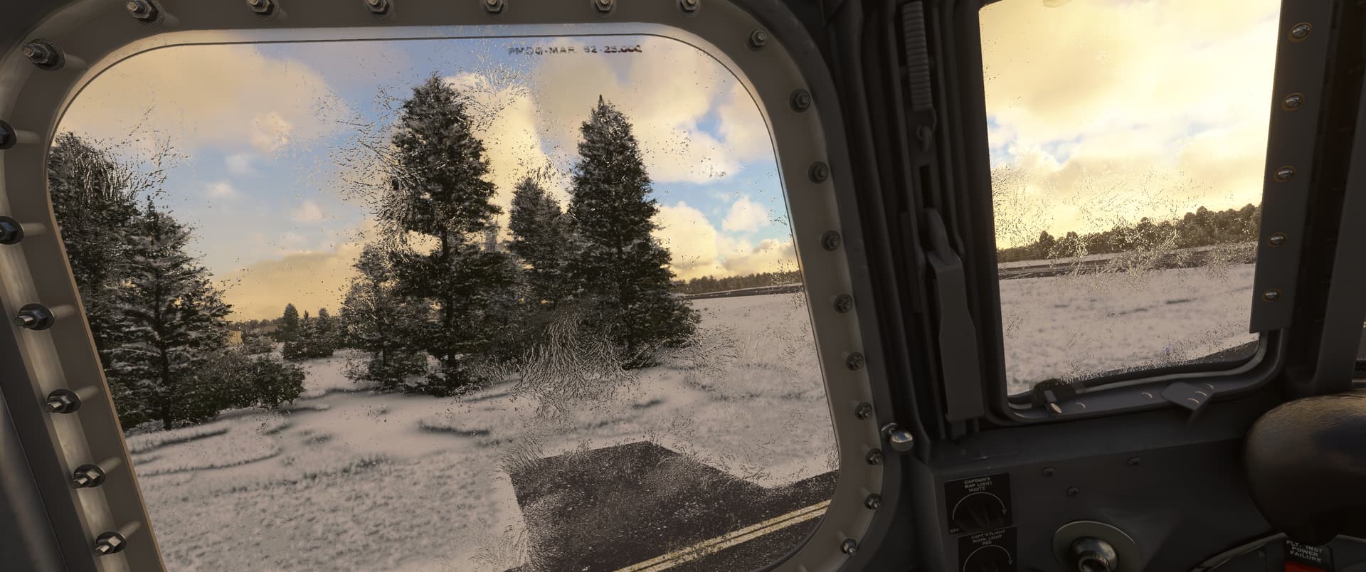
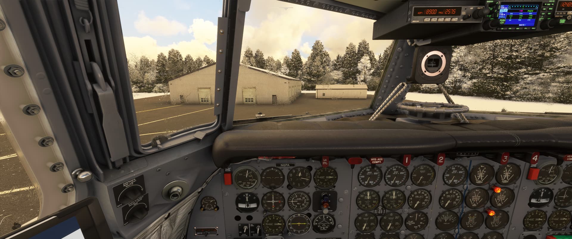
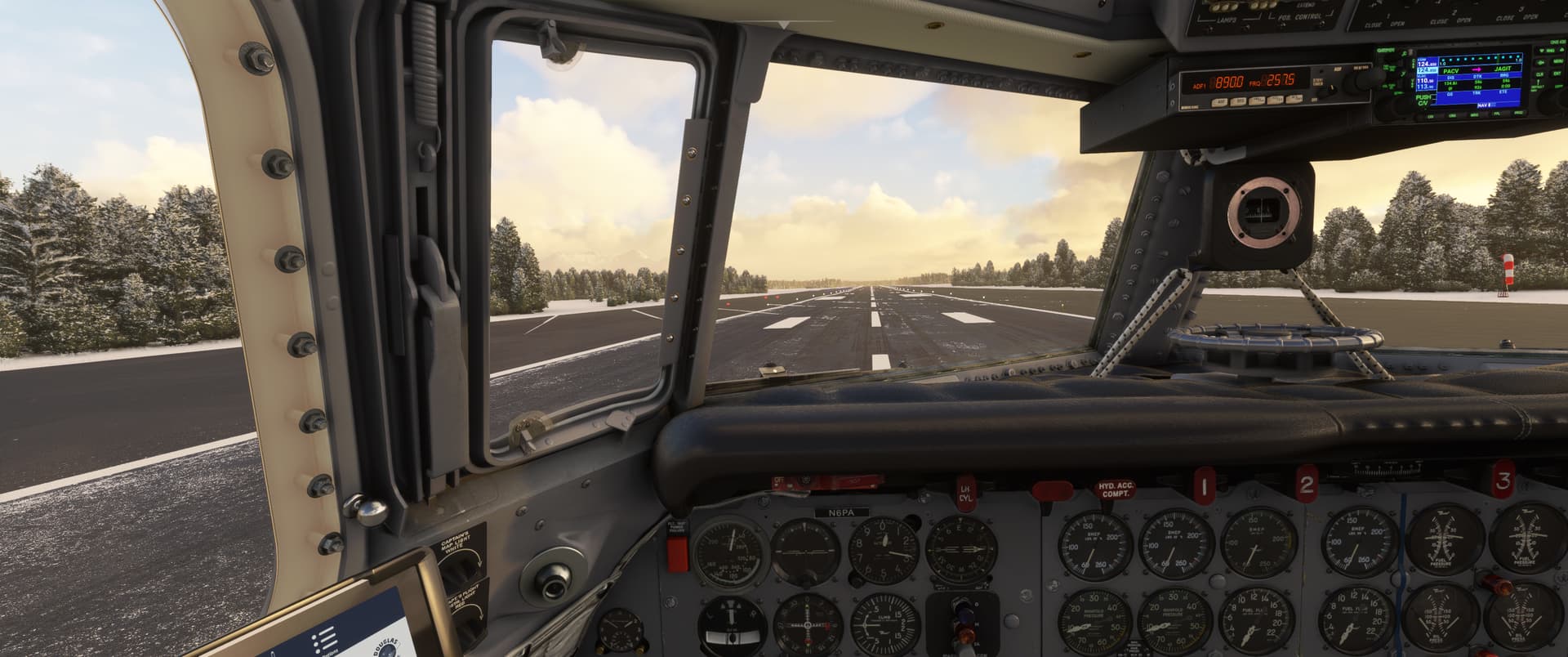
This time I let the AFE do his job properly, which he did - no catastrophic CHT’s this time around.
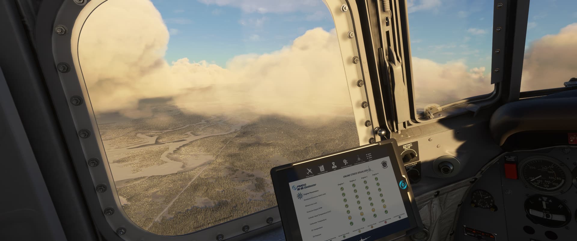
The sun started to set as I descended among the mountains en route to White Horse.
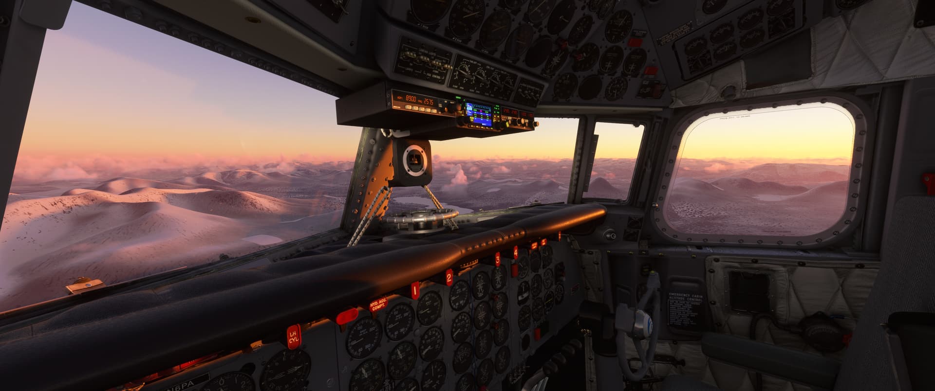
I was slightly worried on arrival as the little puffy clouds above the city were showing signs of joining forces, and I was well task saturated hand flying and watching out for mountain tops.
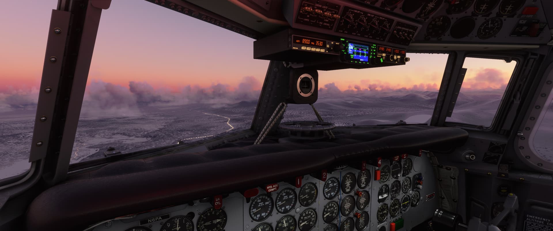
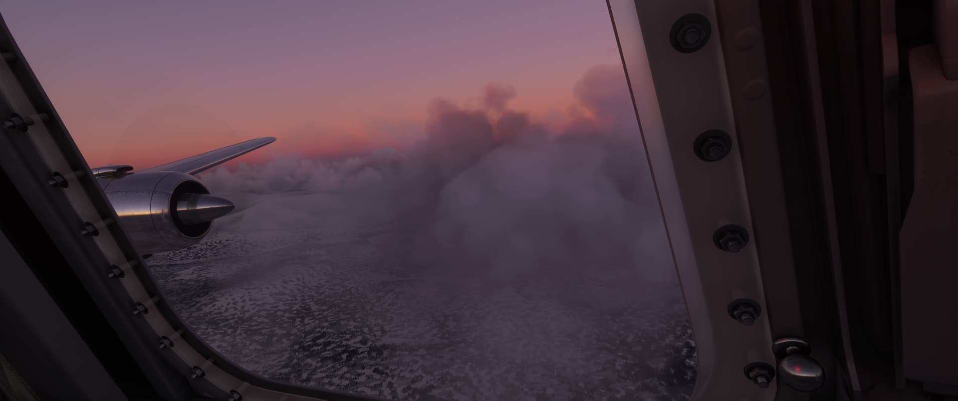
In the end the visibility over the airfield was fine, though - my second DC-6 flight also did not end up in flames. Two out of two - can he make it to the playoffs!?
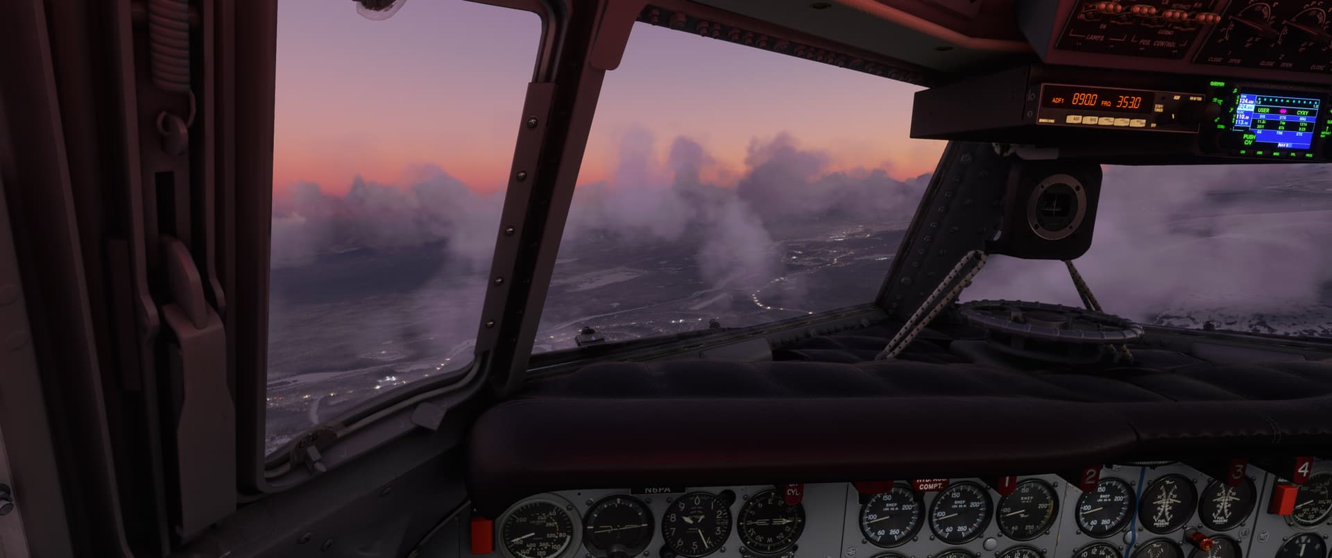
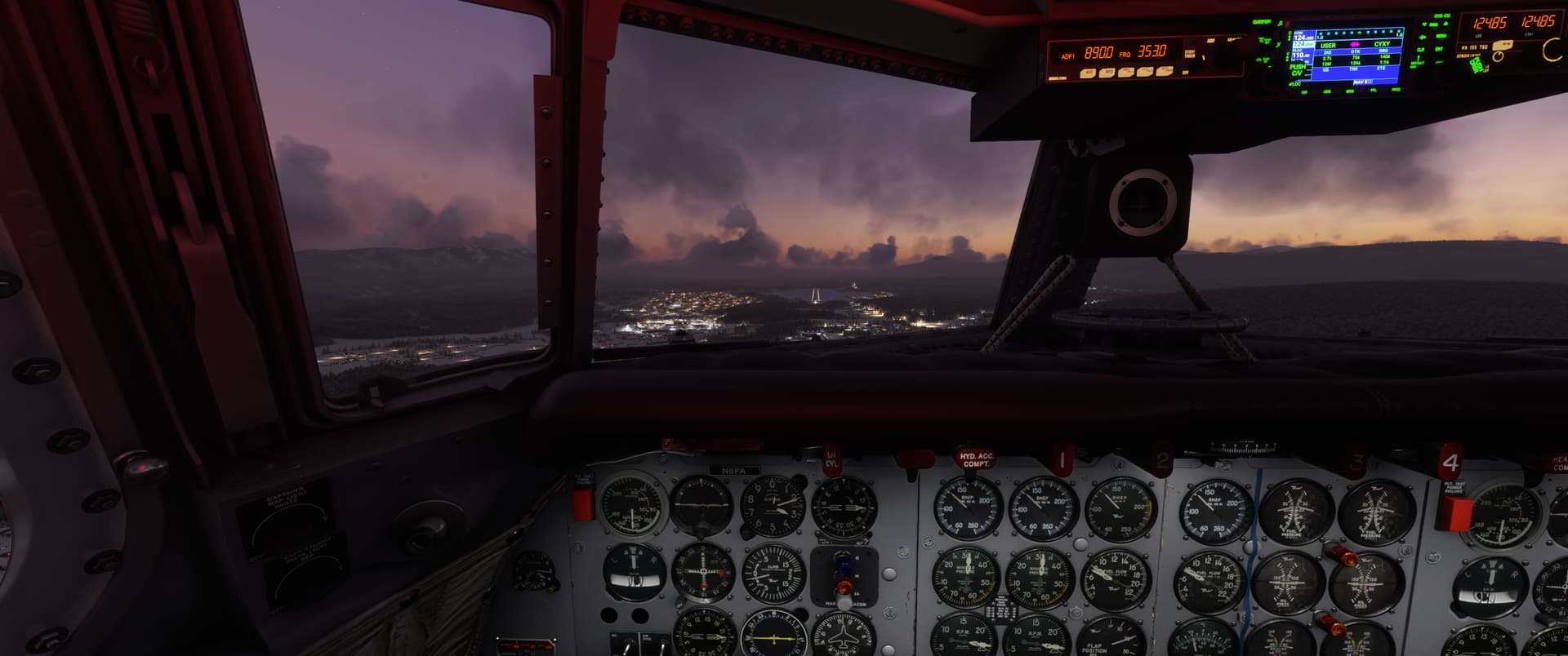
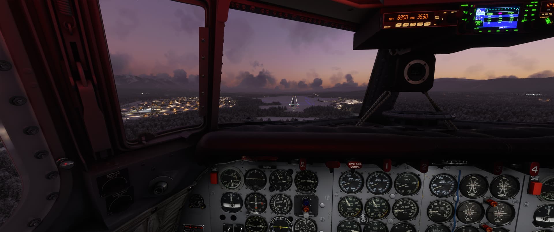
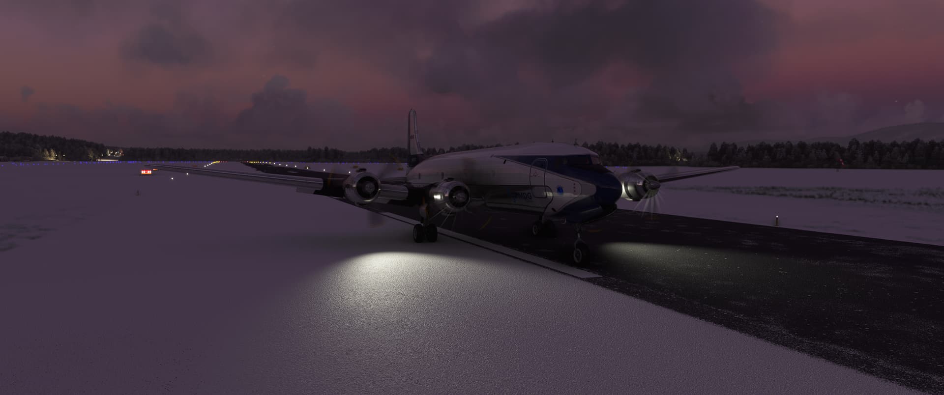
Apparently they halved the snow ploughing team’s budget this winter season and told the guys to make do with the resources they got.
From White Horse, the plan was to fly straight to Seattle, KSEA. Unfortunately,
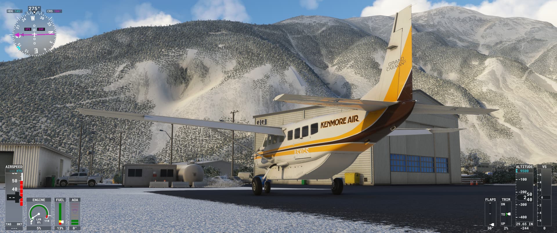
it took me a little while to get XP11 set up for the flight and I got frustrated, so instead I did a little hop down country to Stewart Airport (CZST).
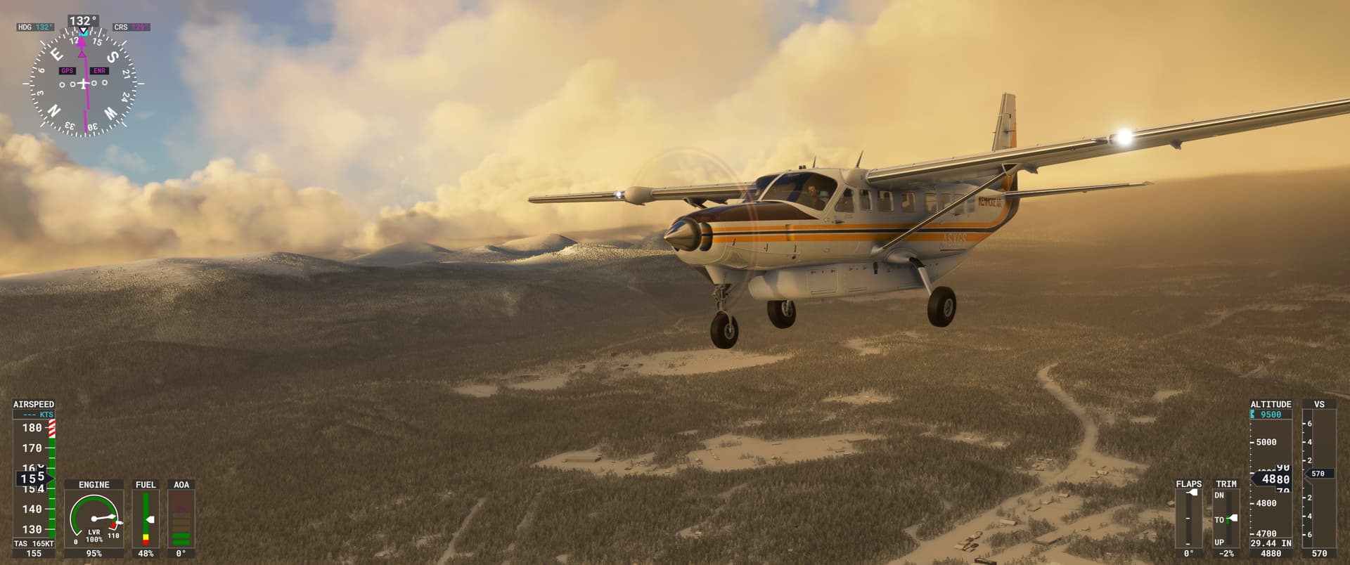
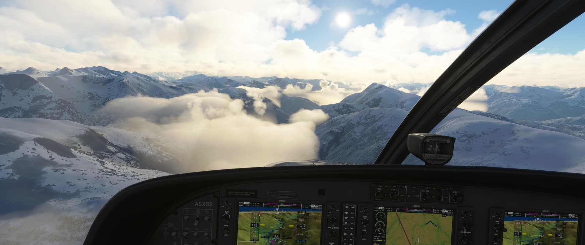
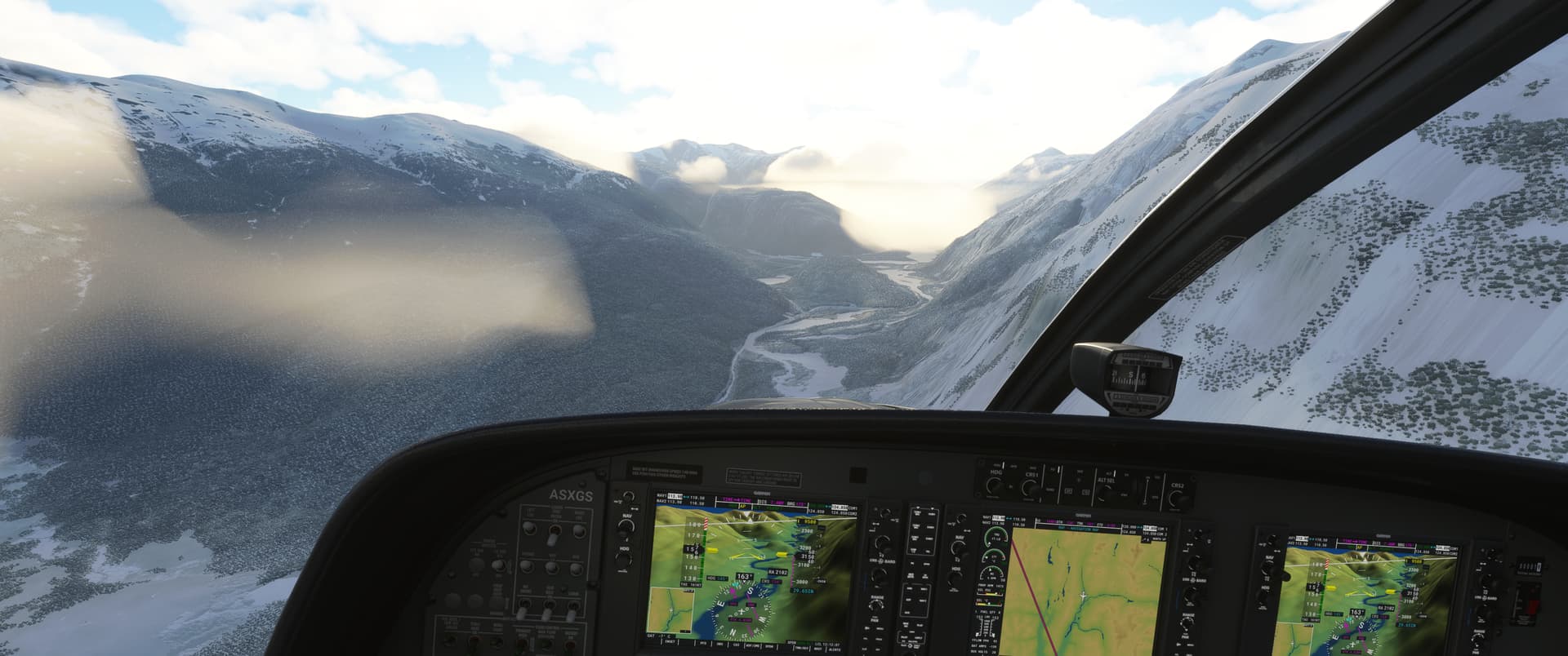
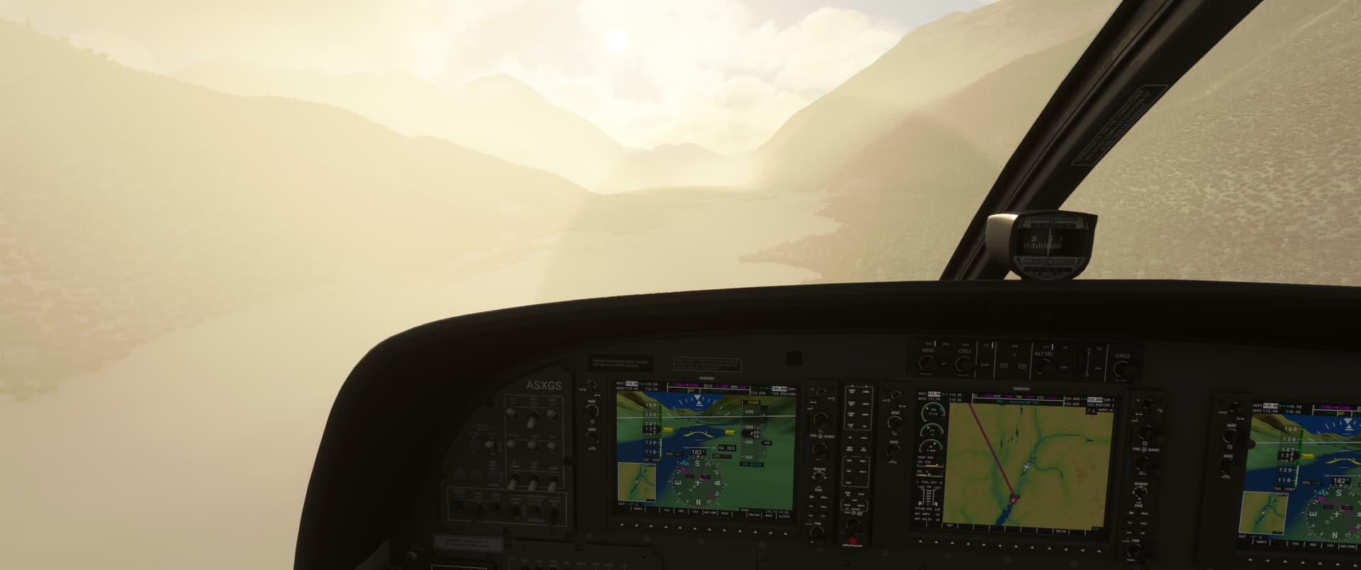
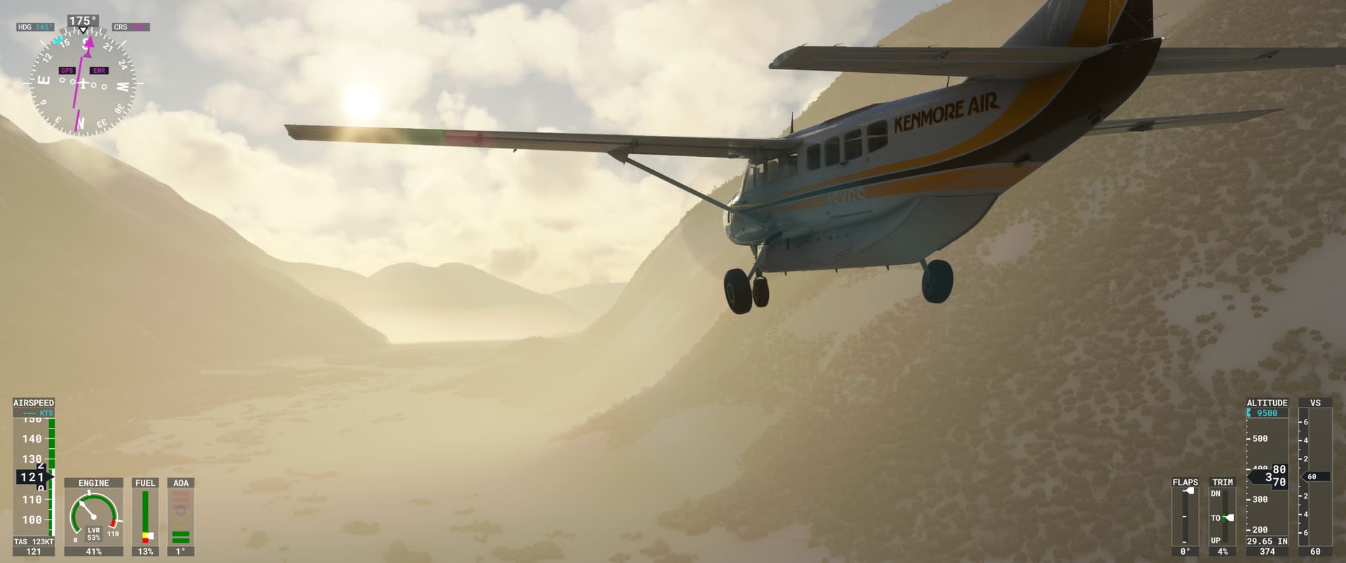
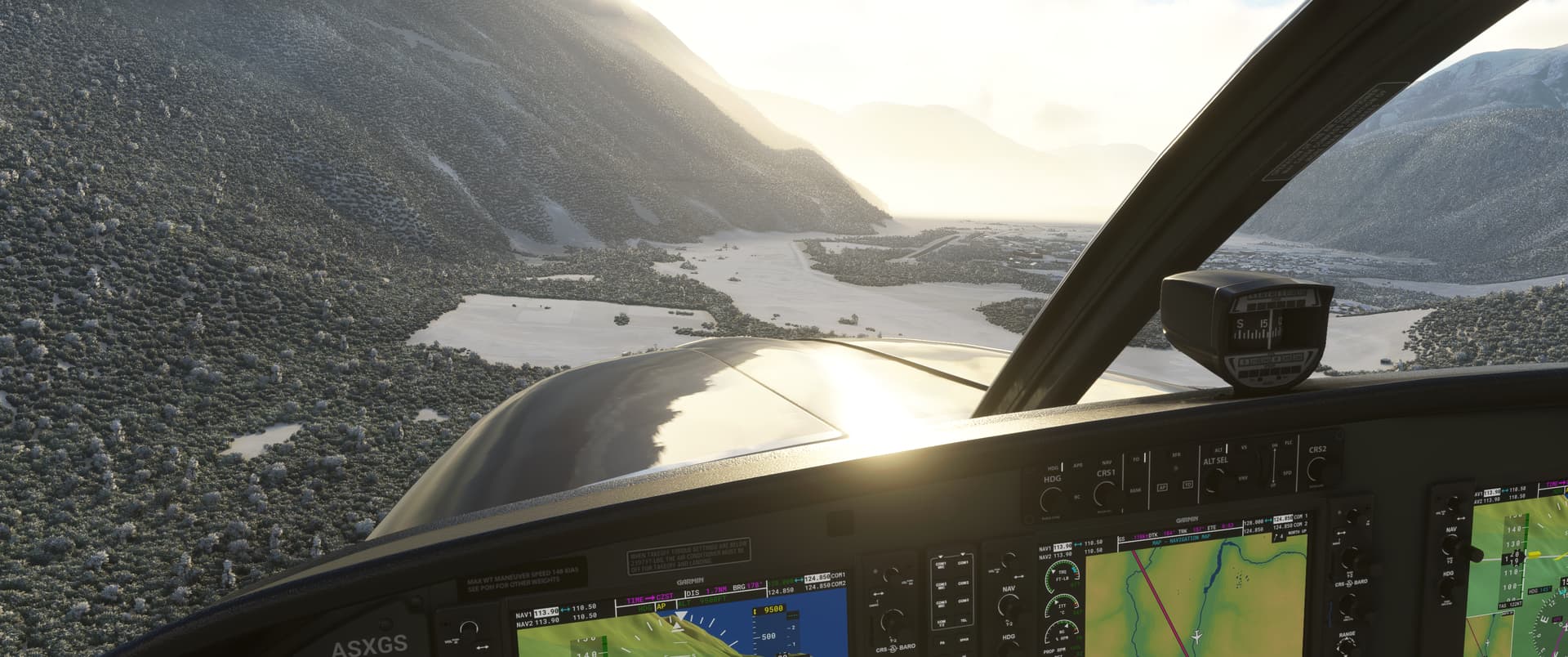
The weather enroute was good, however I had to descend through a bit of haze to get to the field.
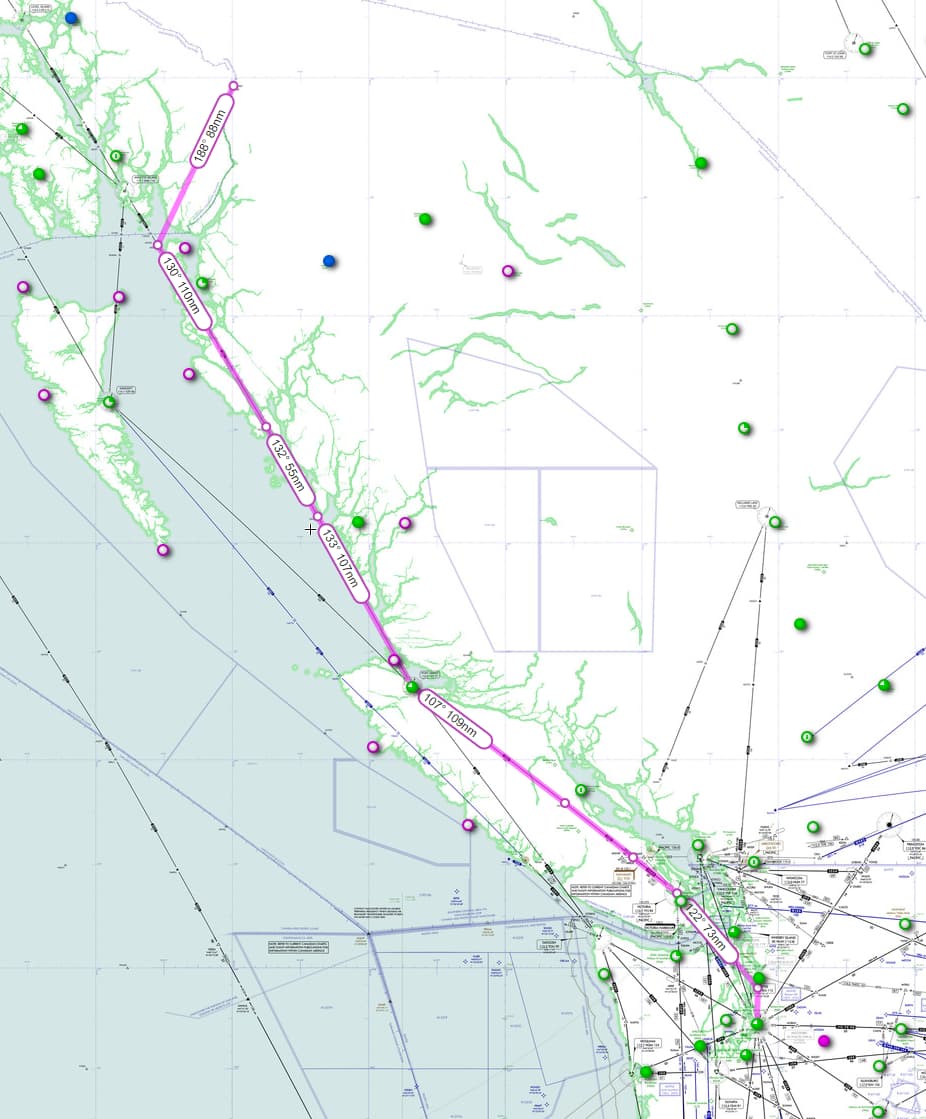
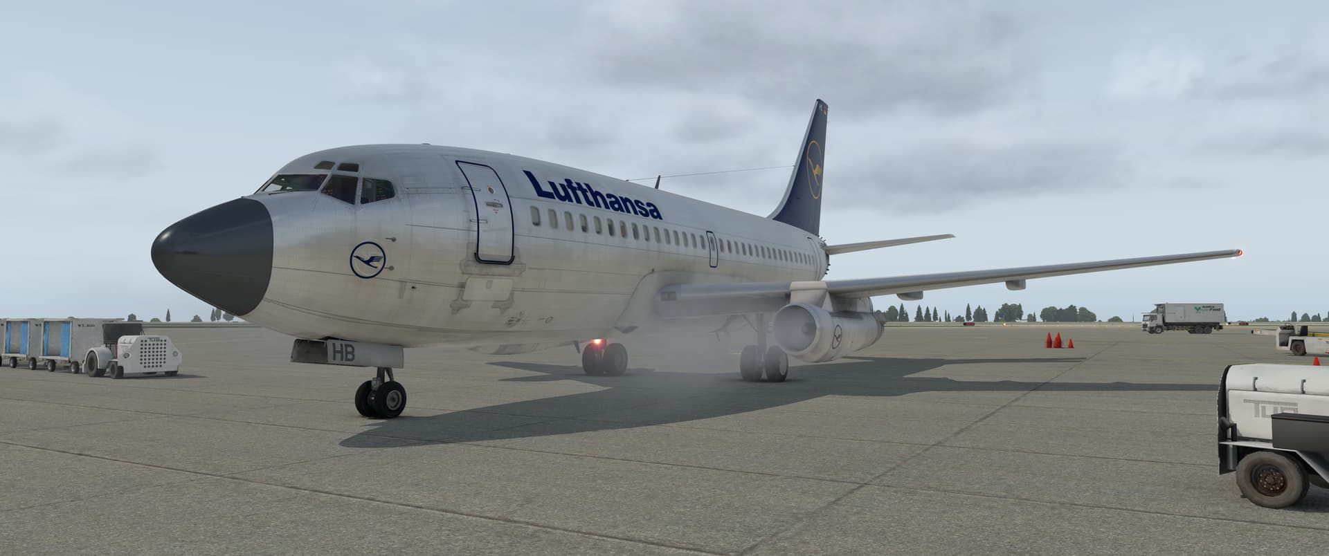
From Stewart Airport, I proceeded to do the 646 NM leap to KSEA. For this leg, I managed to get XP11 up and running with the FlyJSim 737-200 with the CIVA navigation system.
I’m not sure how often Stewart airport has aircraft this size visiting. Who knows, maybe they do.
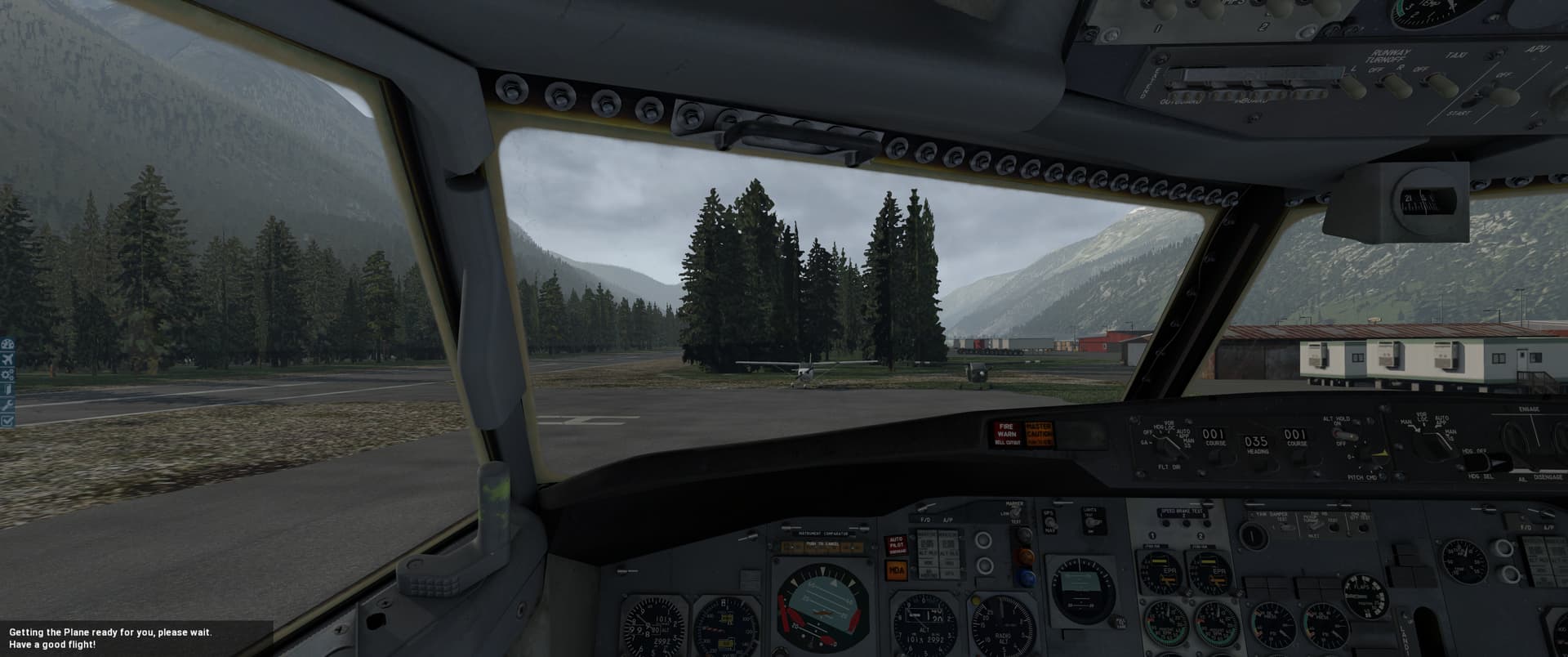
Once she was powered up, I punched in the waypoints in the CIVA and set up some of the VOR beacons before taking off, figured it wouldn’t hurt.
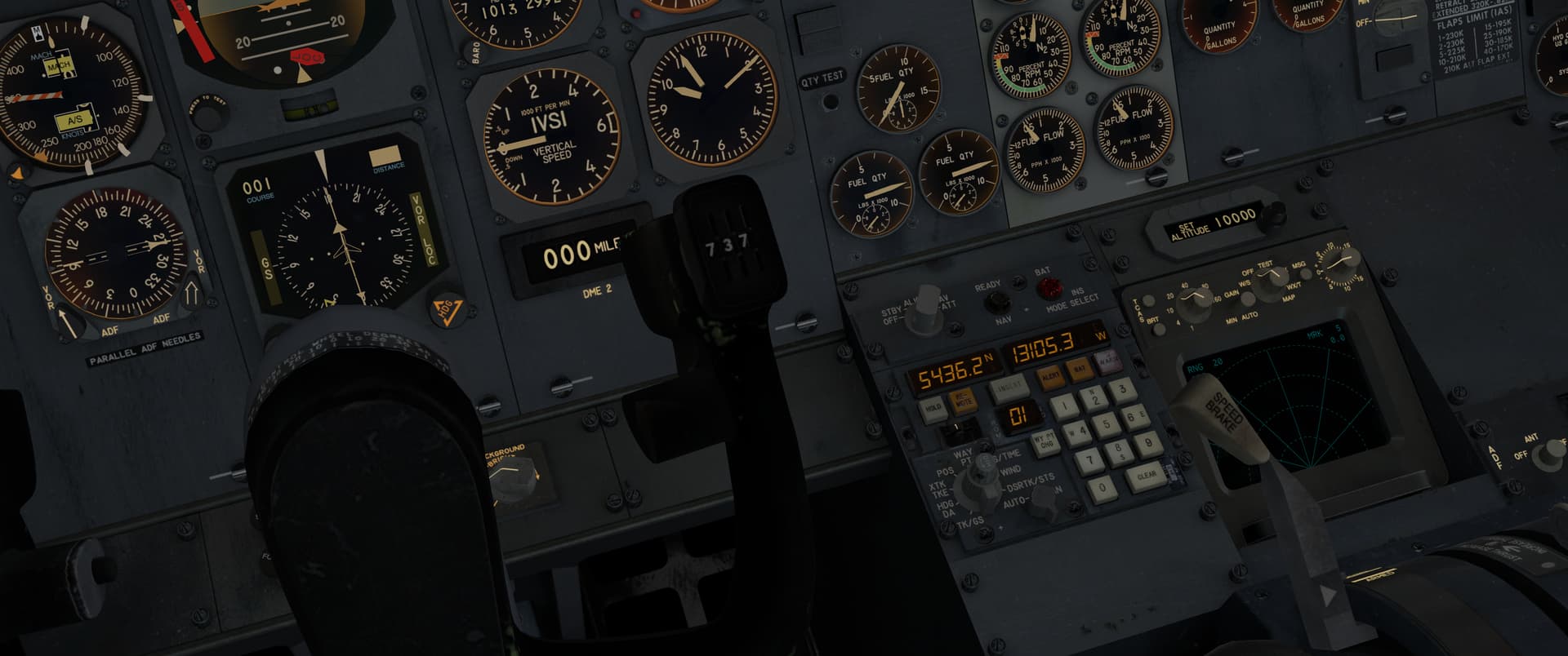
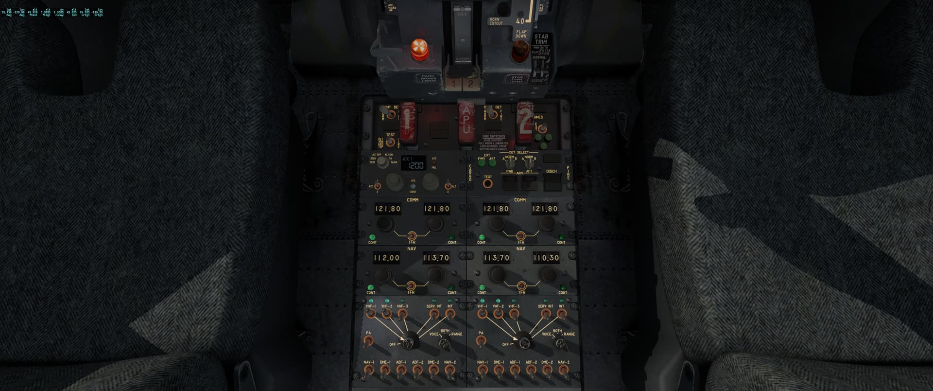
Starting up the engines. This is my first time flying this module but to be honest it feels like coming home after flying the 727-100 on last year’s trek.
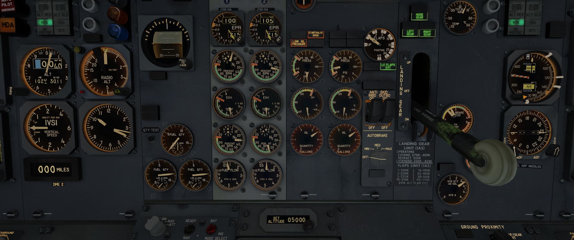
The apron was a bit on the cosy side, as was the runway. All good though, we should have enough distance for takeoff and that’s all that matters.
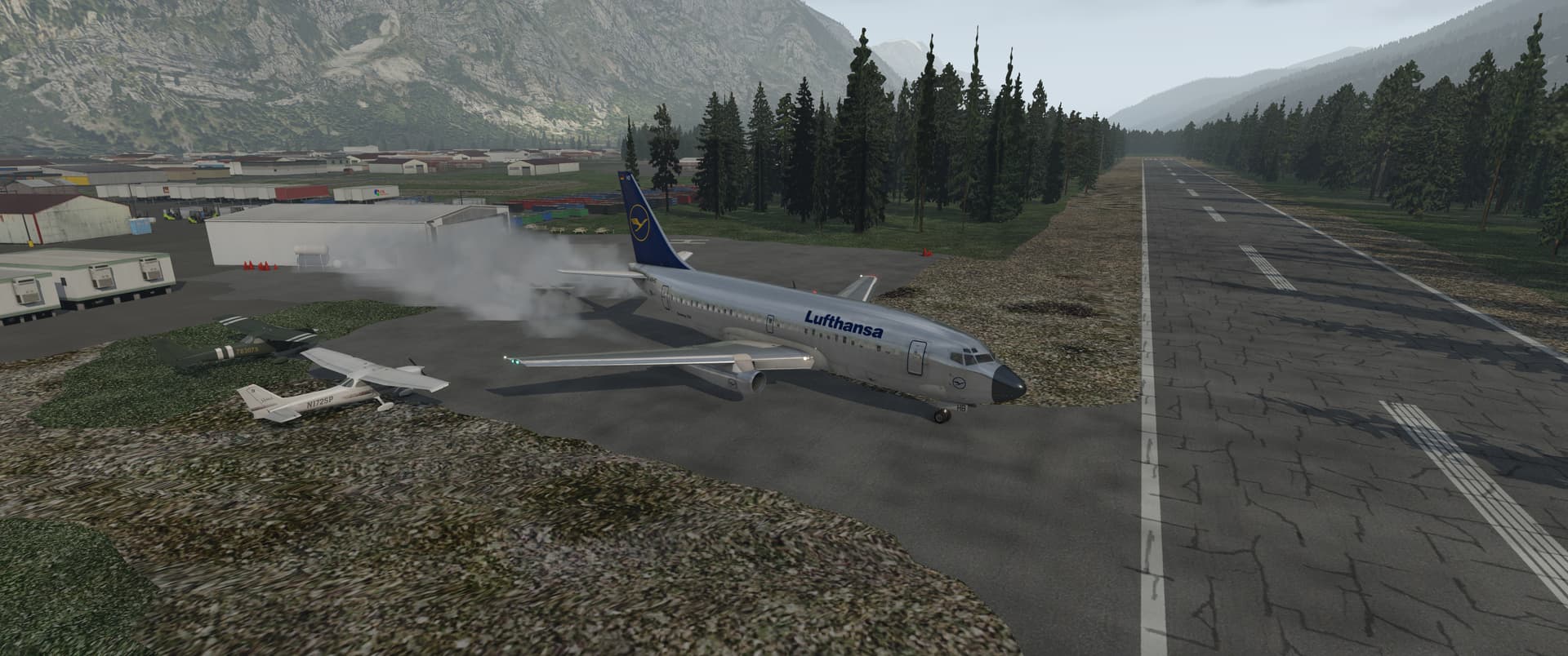
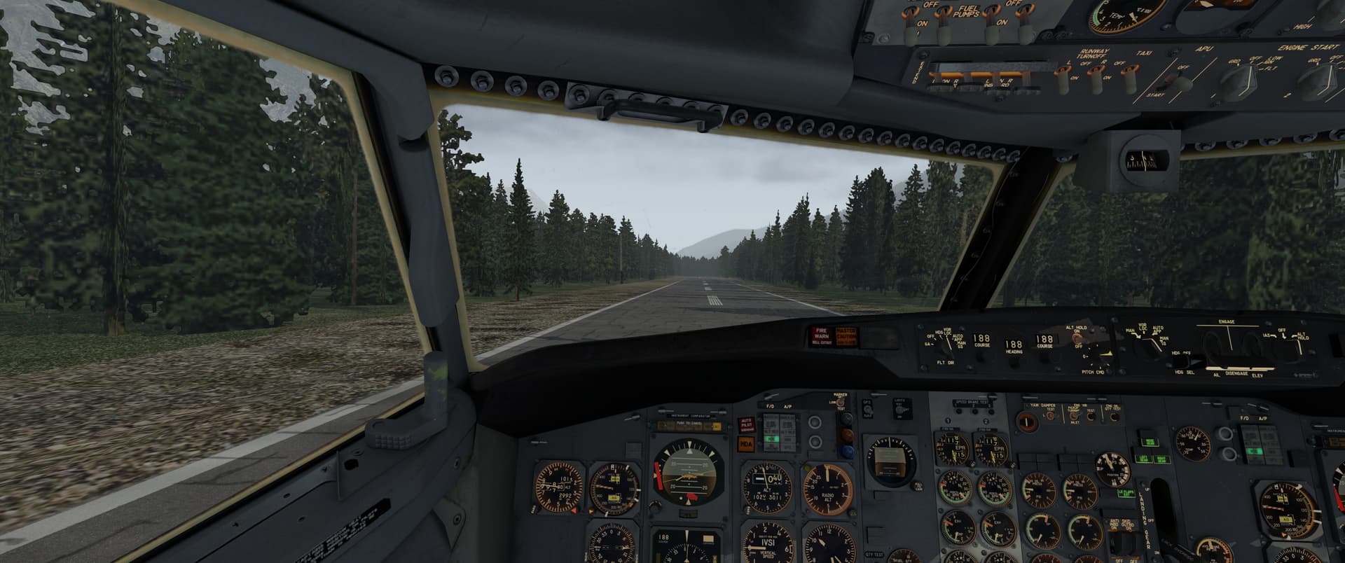
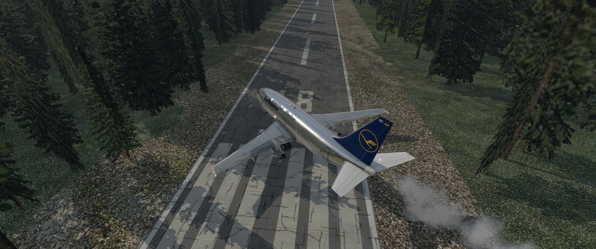
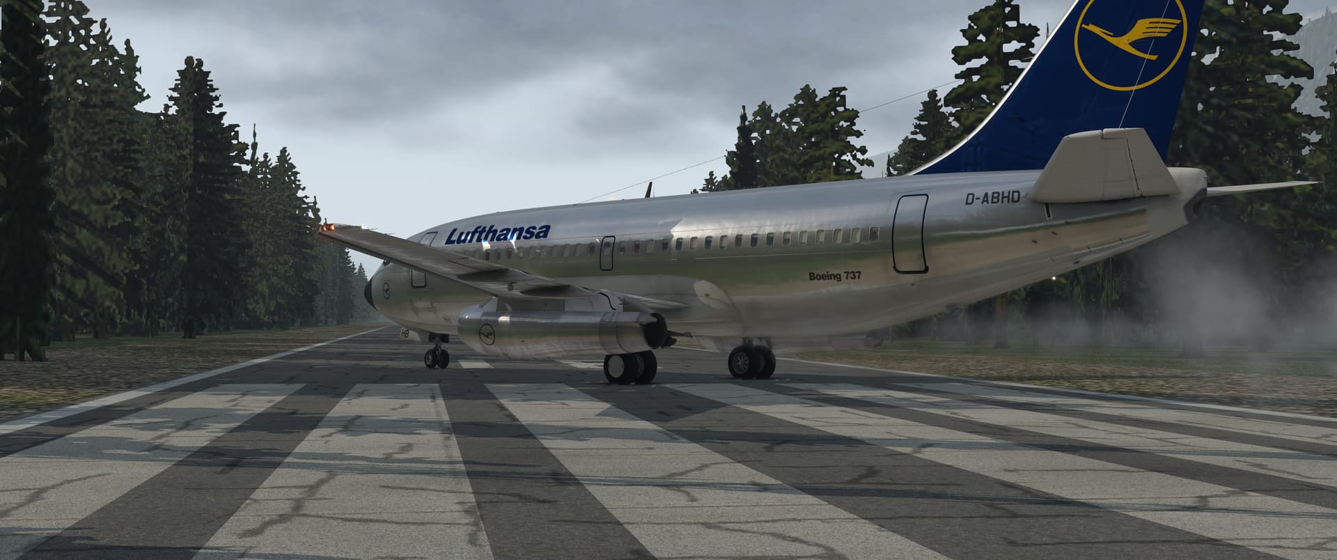
The lightly loaded Boeing leaped to the sky nicely with plenty of runway to spare. I took off from runway 18 and my initial waypoint called for a track of 188, so that was a gentle adjustment. I set up the AP for a 250-knot IAS climb to FL330 and let CIVA point the nose where she pleased. Very similar to the 727, except in the 737 they have moved the AP panel to the middle and top, which is very pleasant to use.
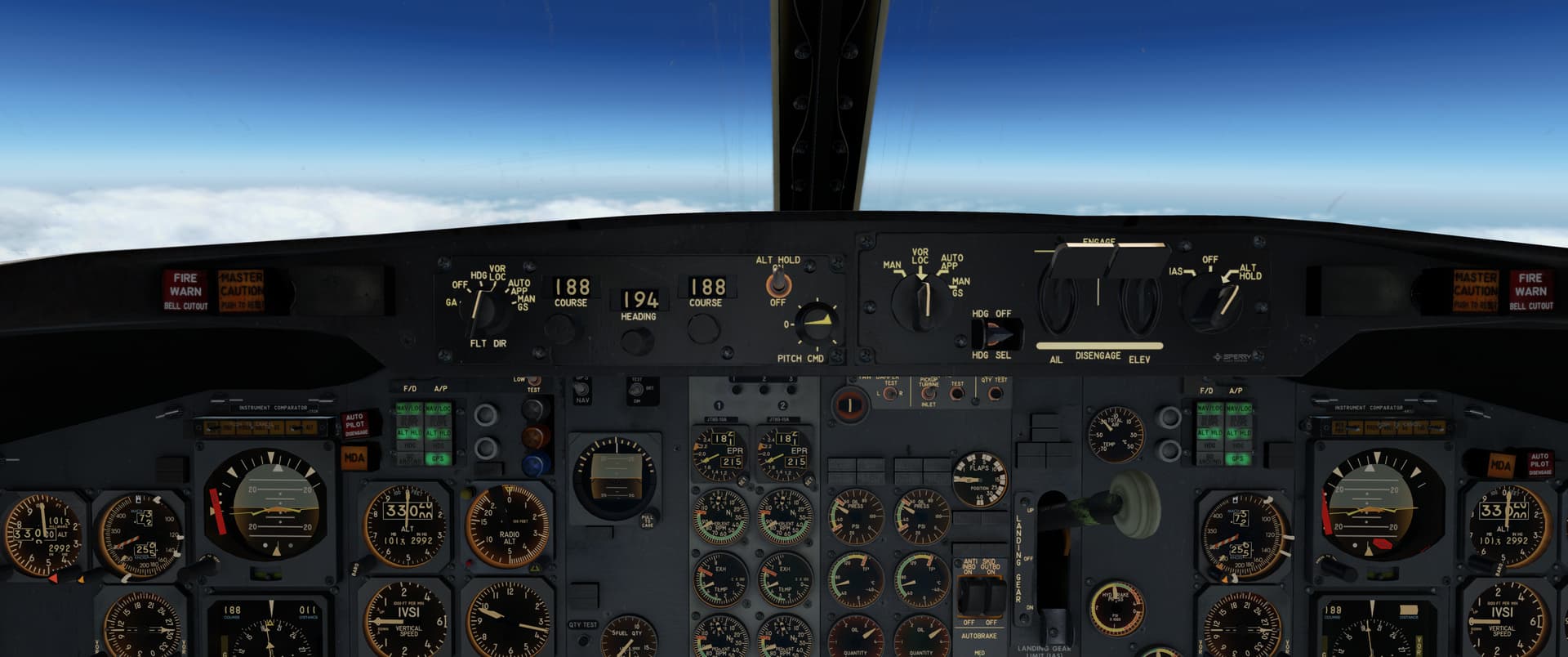
At the first waypoint, I carefully watched the headings to see if I’d set things up correctly. Seemed like it.
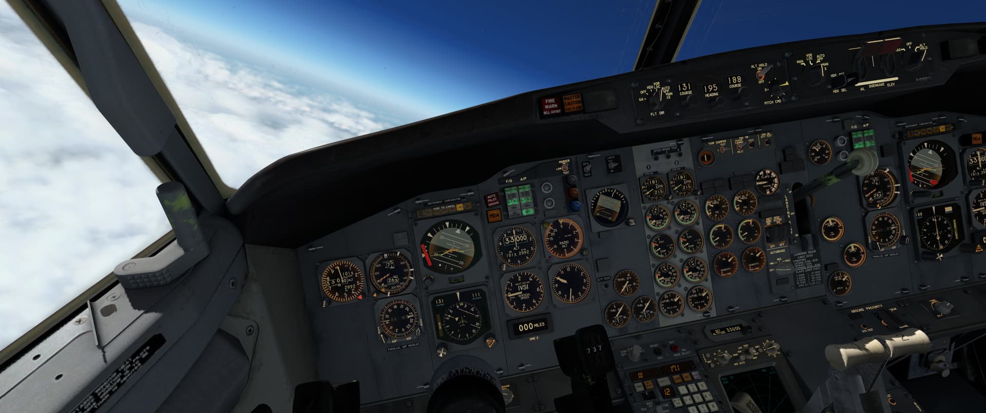
She is pretty!
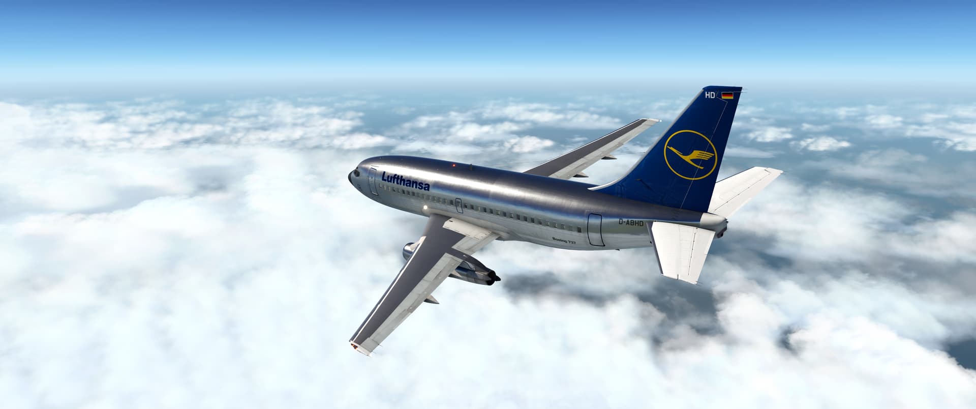
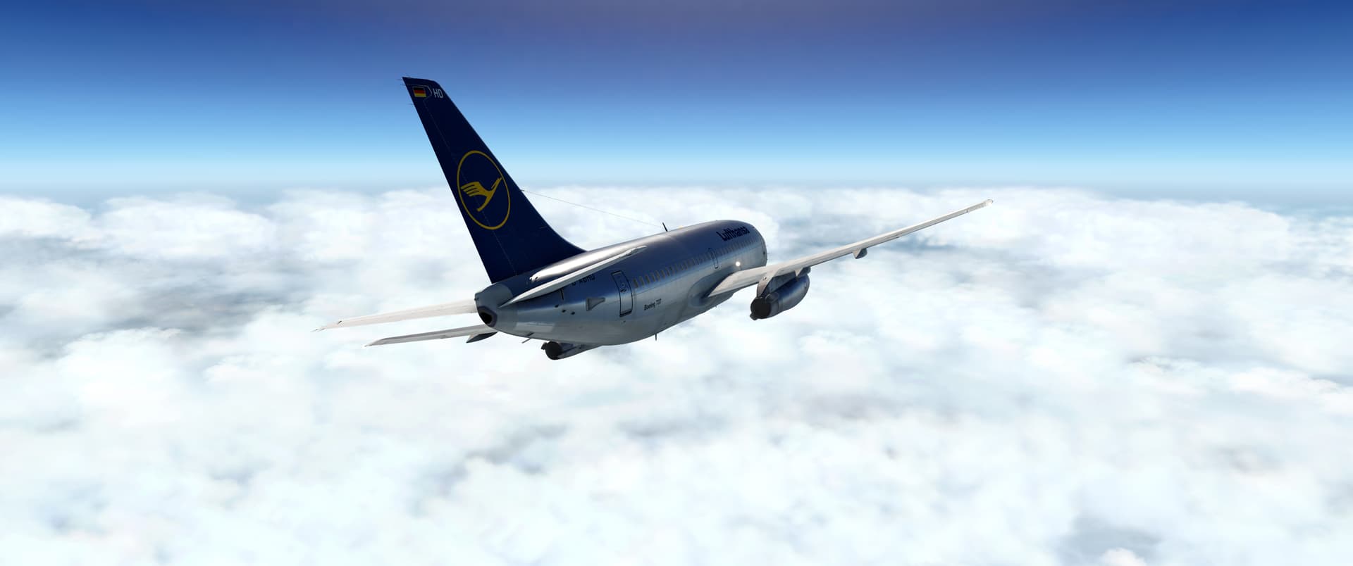
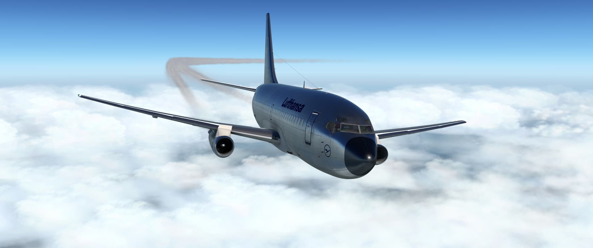
Descending over Seattle. I stuffed up a little bit while putting the girls to bed - I thought I had 90NM to go, but I had actually travelled to my last waypoint, being KSEA itself.
Once I worked it out, it was fine, but I did end up doing a bit of a “Bagram Final” where I dropped the last 10,000 ft over a fairly short ground track, perhaps 15NM or so. Full airbrakes, flaps and gear down and she dropped pretty keenly, though. I wasn’t proud of that approach but it got me there…and I was really, really safe from any anti-aircraft fire coming up from the Seattle suburbs, so there was that.
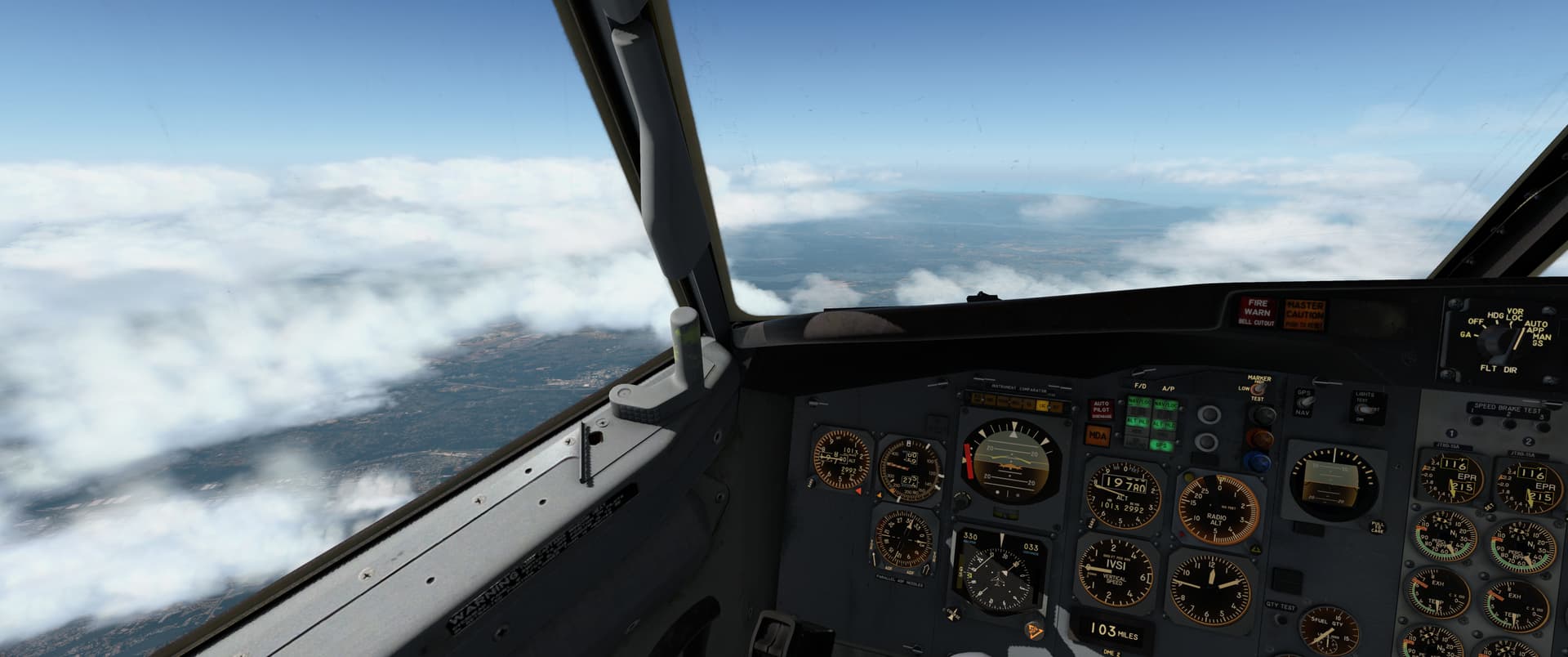
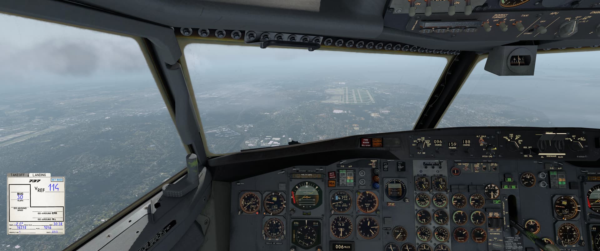
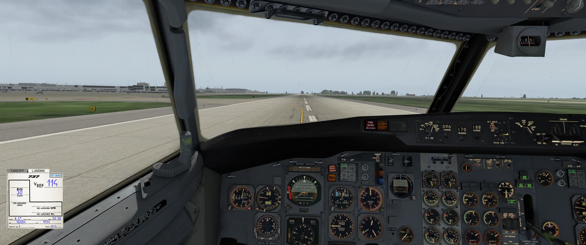
The engines were smoking a bit after shutdown, but I think that was just a graphics glitch. I think.
11 Likes
Great reports @Bearhedge!
I love the old 737-200. I hope to see one in MSFS at some point.
Thanks also for the kind words. But I’m not so certain whether I found the story, or the story found me!
3 Likes