That’s the great thing about the Xmas trek - we tend to make decisions that lean towards the adventurous and the stories practically write themselves! 
2 Likes
I can’t say I couldn’t see it coming…
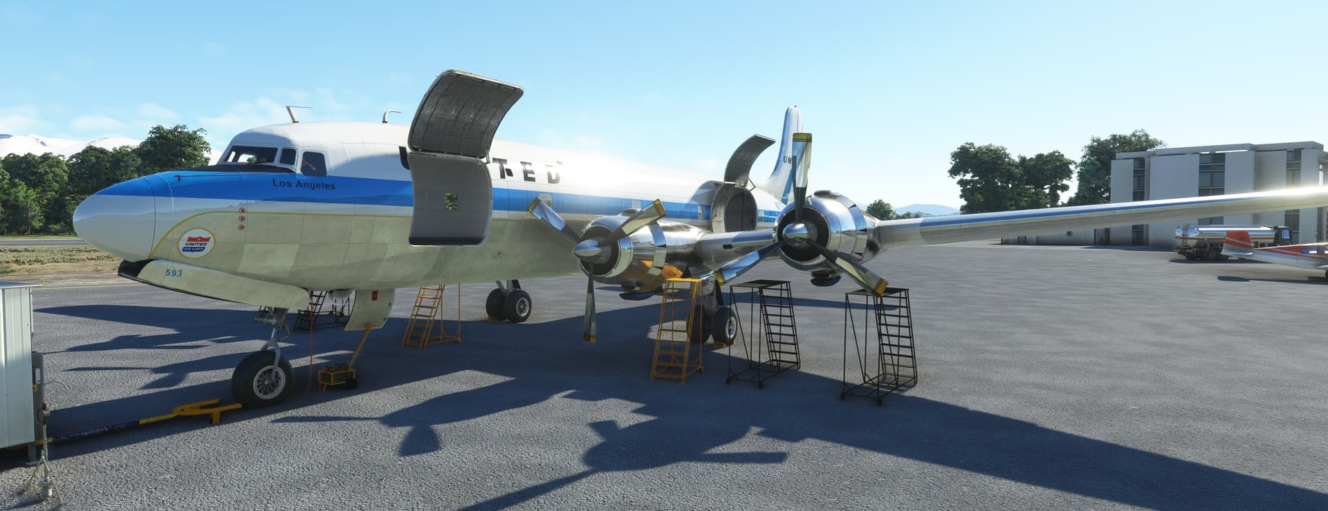
Getting to know the aircraft before the last leg of this flying adventure.
I am watching Rob Randazzo’s tutorial videos for the second time and flipping through the manual. I did not realize how much one has to babysit the engines, but fortunately there is the AFE to babysit me 
I am not quite yet ready to fly this thing so it will take some time till the AAR appears here.
3 Likes
You forgot to stop at YVR and buy fearlessfrog a beer. 

3 Likes
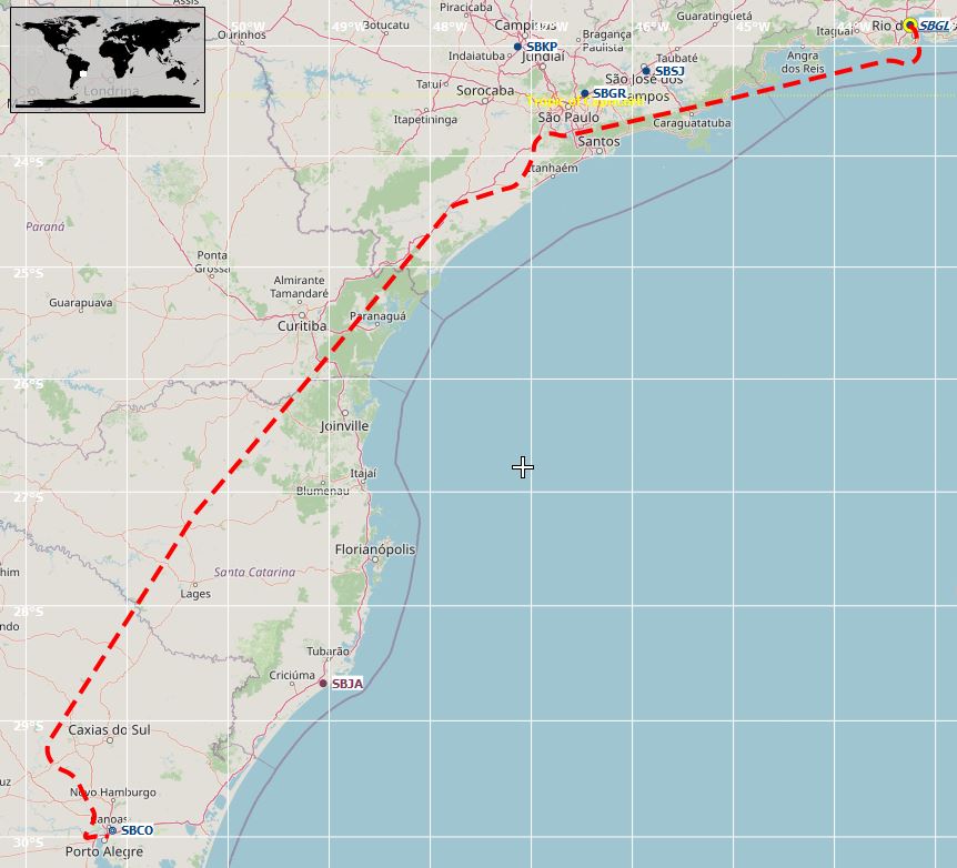
Today I flew from Rio (SBGL) to Porto Alegre (SBPA).
Originally I wanted to go straight to Buenos Aires but I decided against that long flight.
I had 80 knots headwind for most of the flight but overall the weather was pretty good.
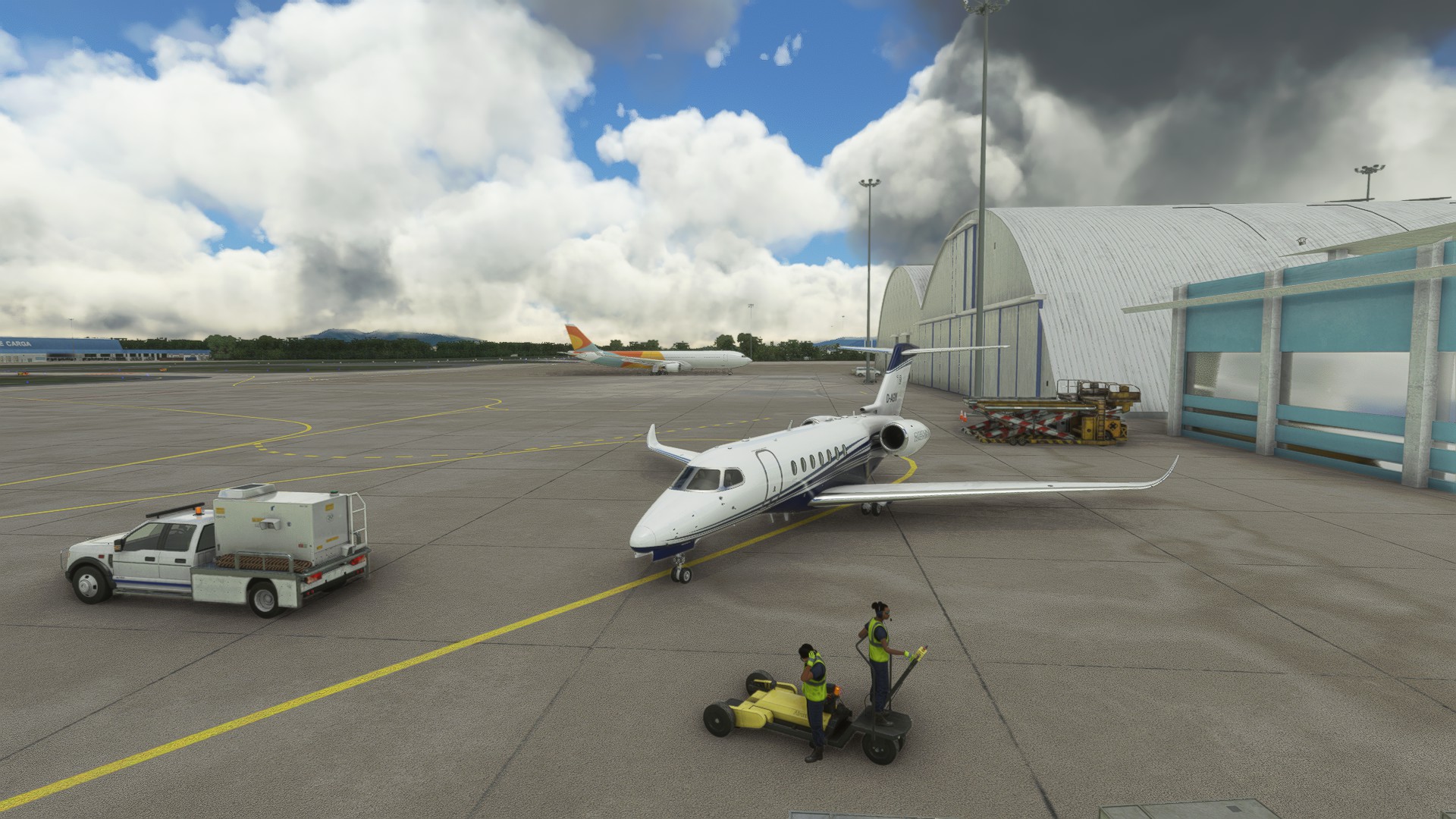
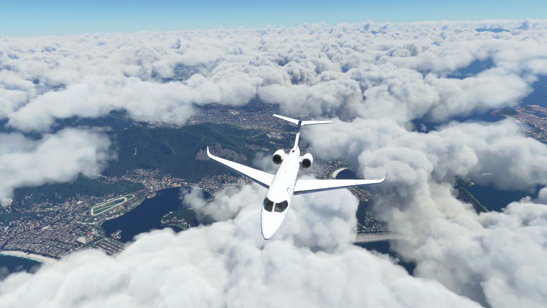
Bye Rio!
The Ilha Grande, knows for its beautiful forests. Great for hiking.
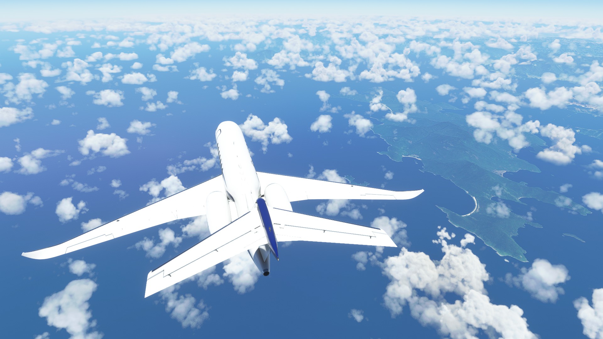
Caraguatuba. This city really hugs the coast.
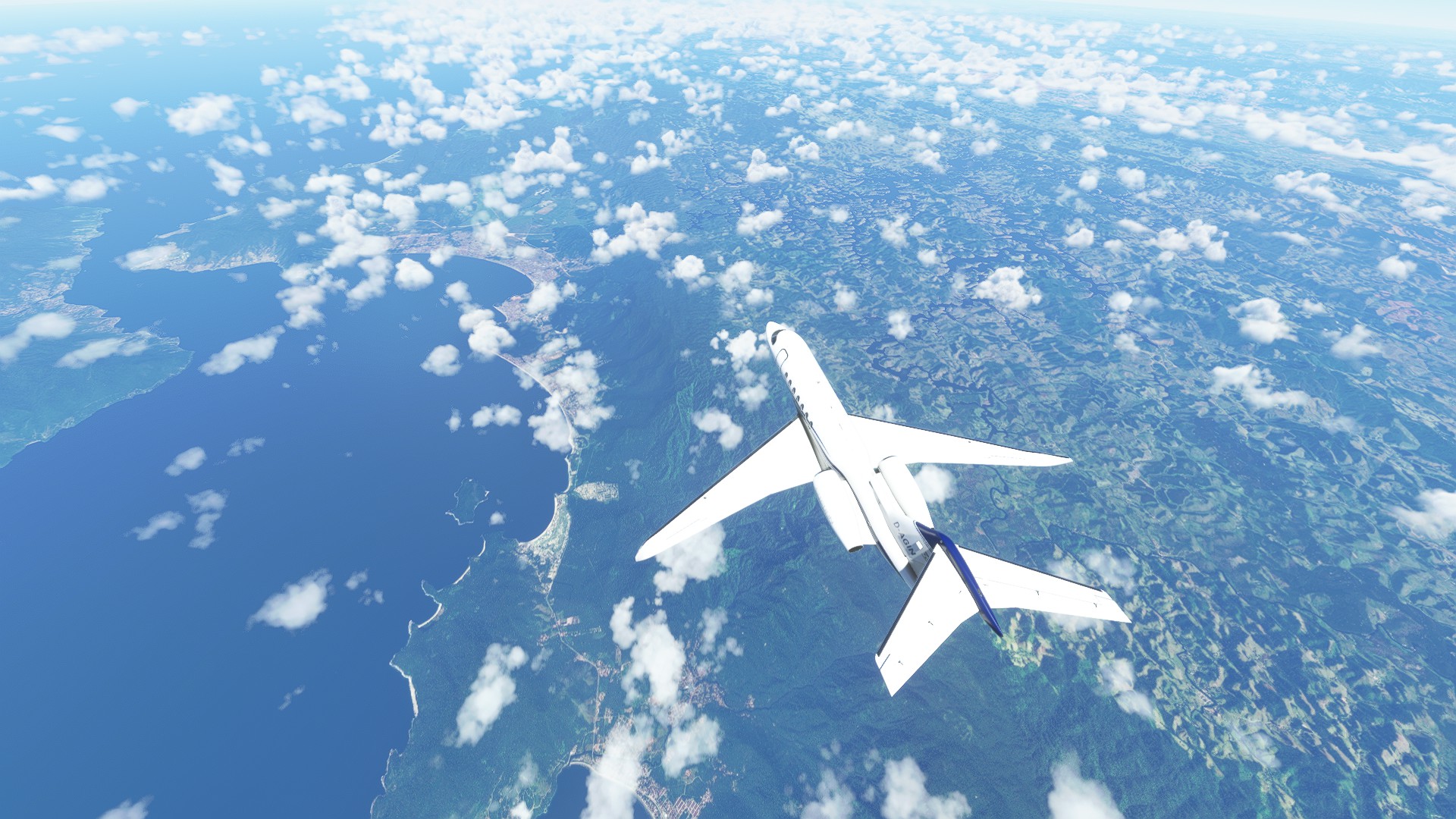
More tourist locations at the coast, but in the upper right corner of the picture you can see the huge grey spot that is the sprawling city of Sao Paulo. Over 12 million people live here, making it the second largest city of the southern hemisphere and the biggest in Brasil.
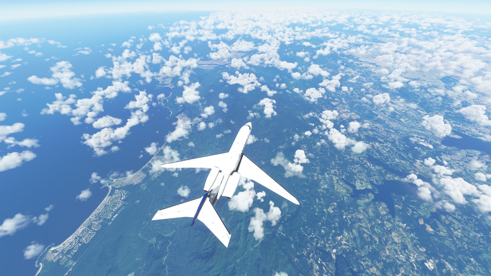
I passed the city and continued southwest.
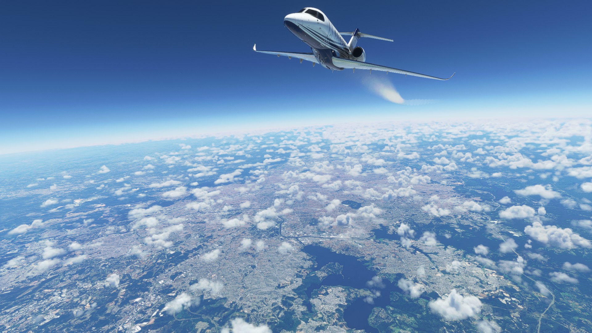
The Ribeira de Iguape River, meandering a lot.
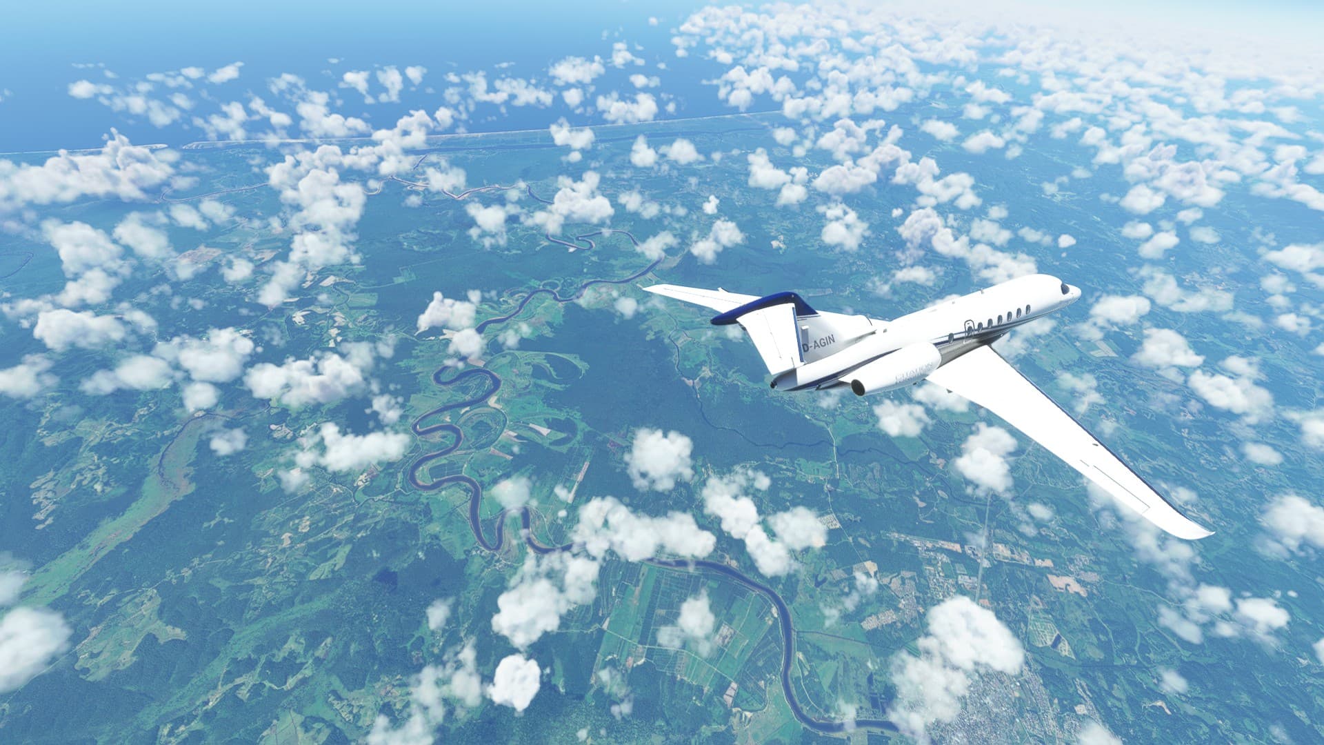
A mine in Cajati, as far as I could find out this is a phosphate mine owned by fertilizer companies.
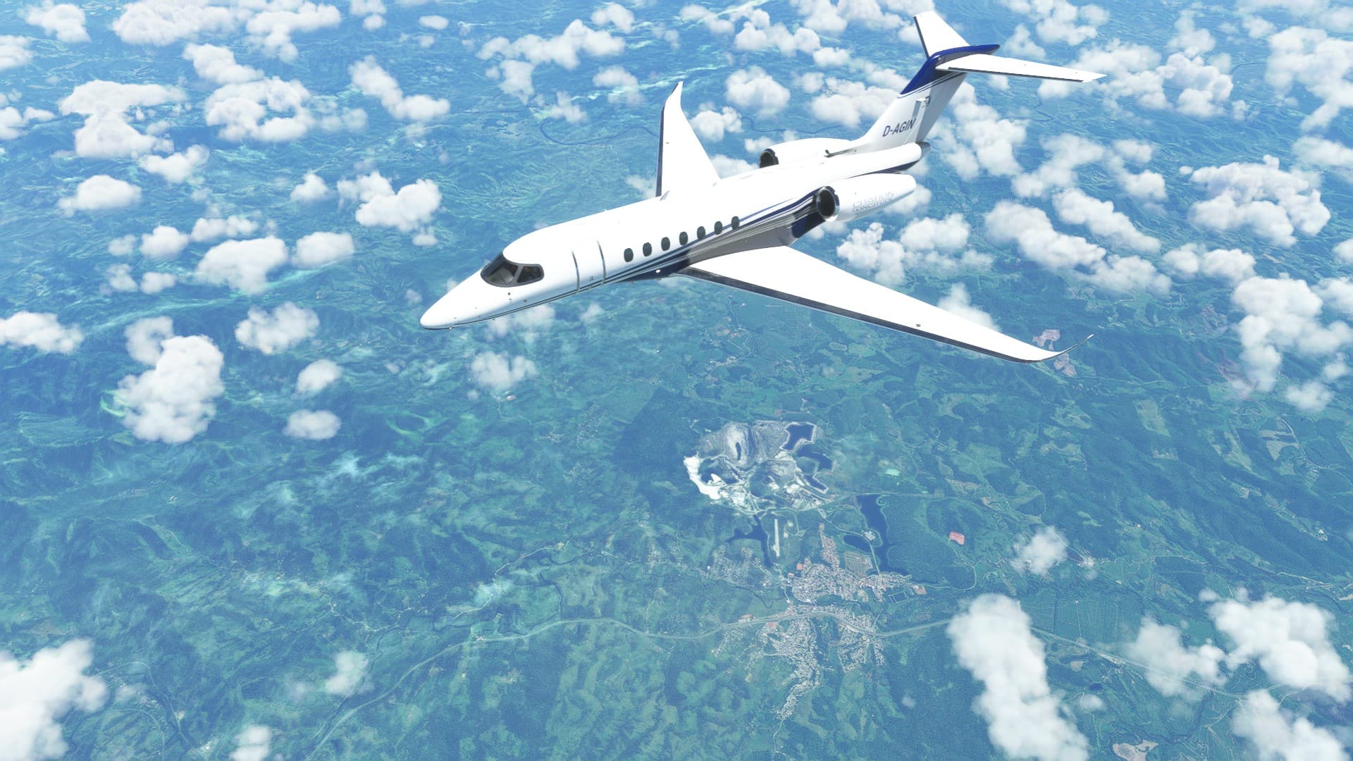
Curitiba
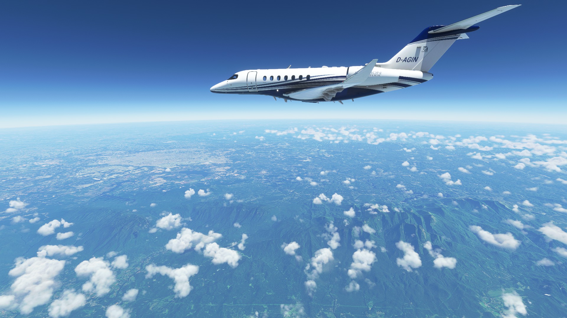
Cool looking weather in those mountains down there.
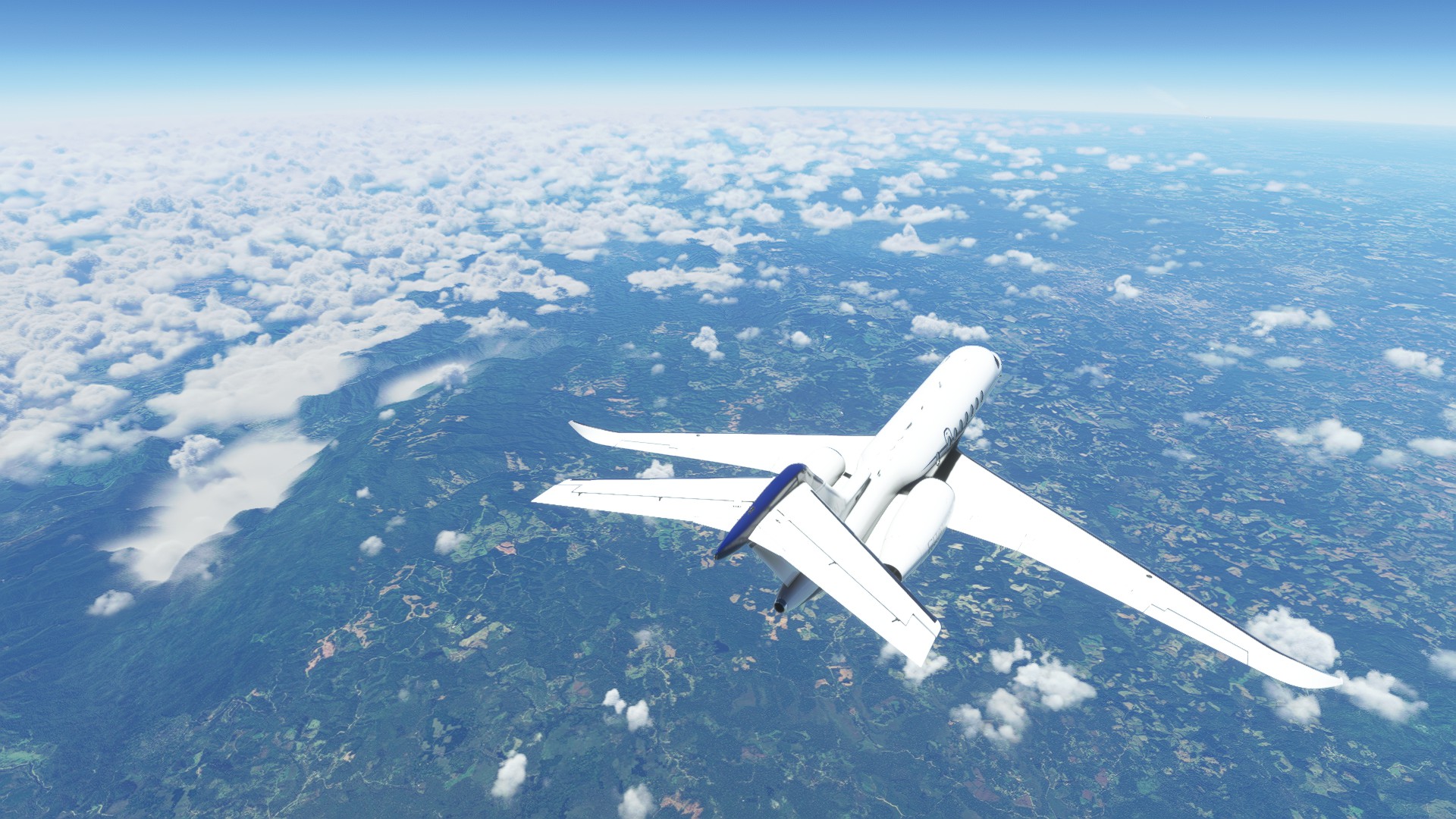
When the ATC was done with asking me if I had traffic in sight that airbus had already passed 2000ft below me.
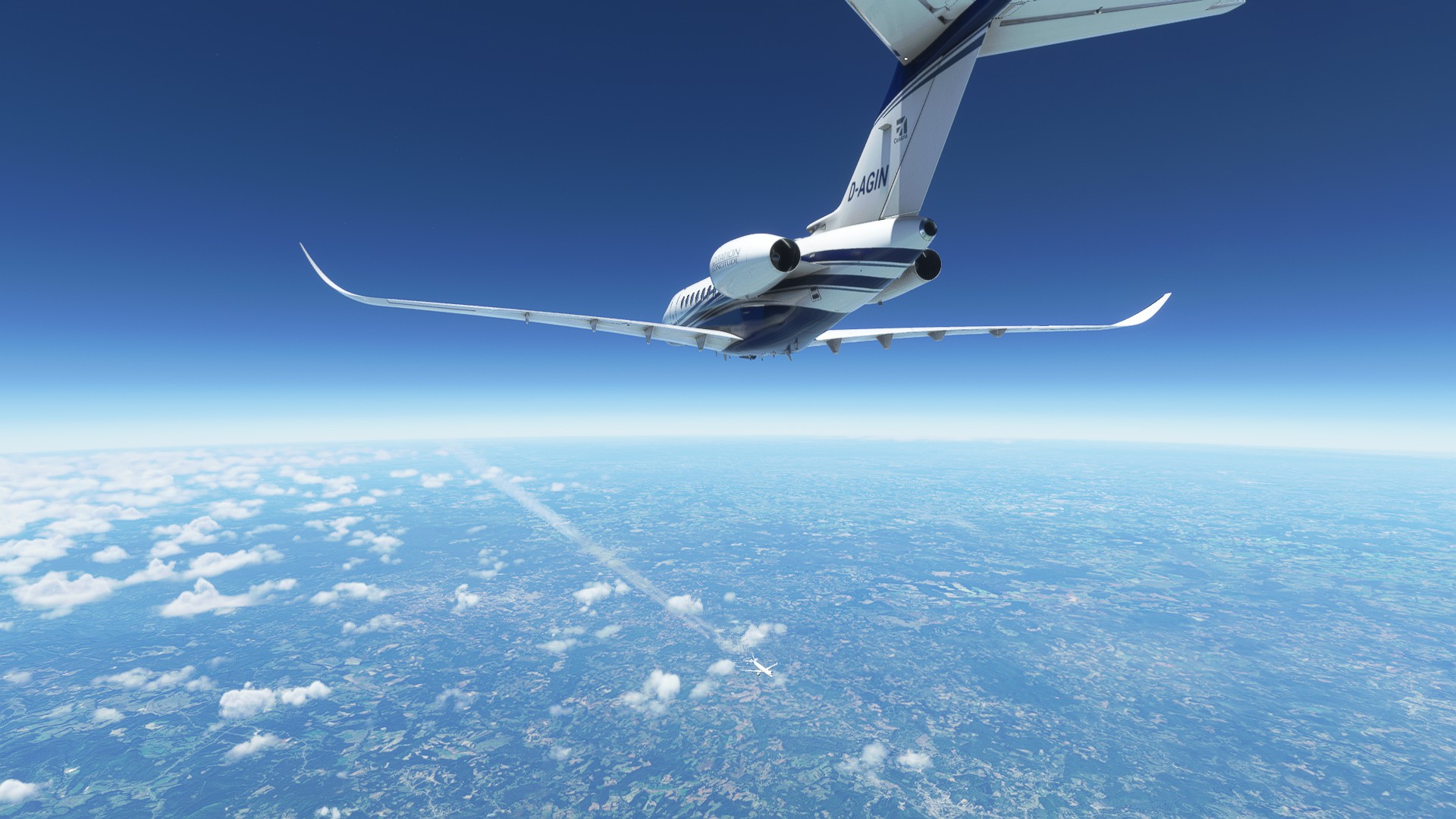
There’s not a whole lot of rain forest left in this area.
Most of it is farms.
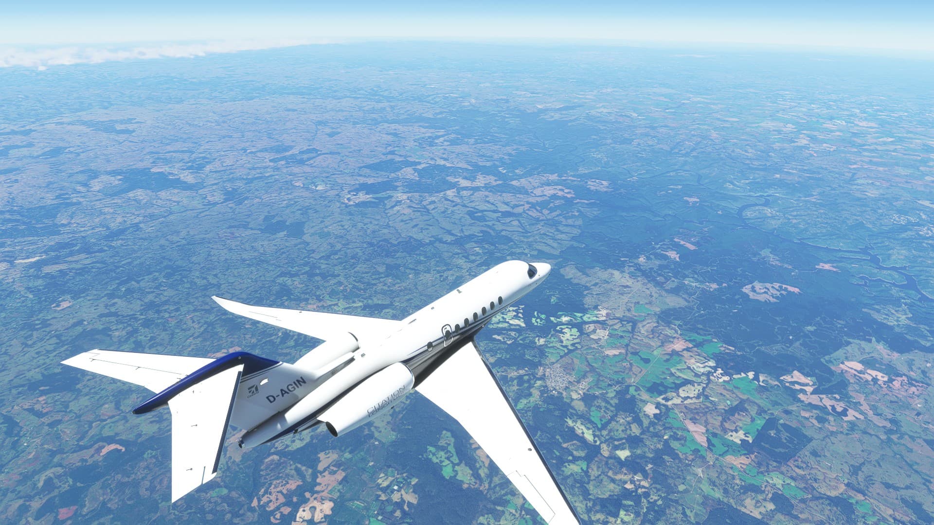
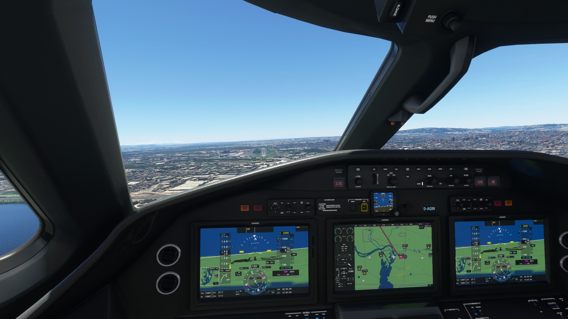
Descending, Porto Alegre is already visible.
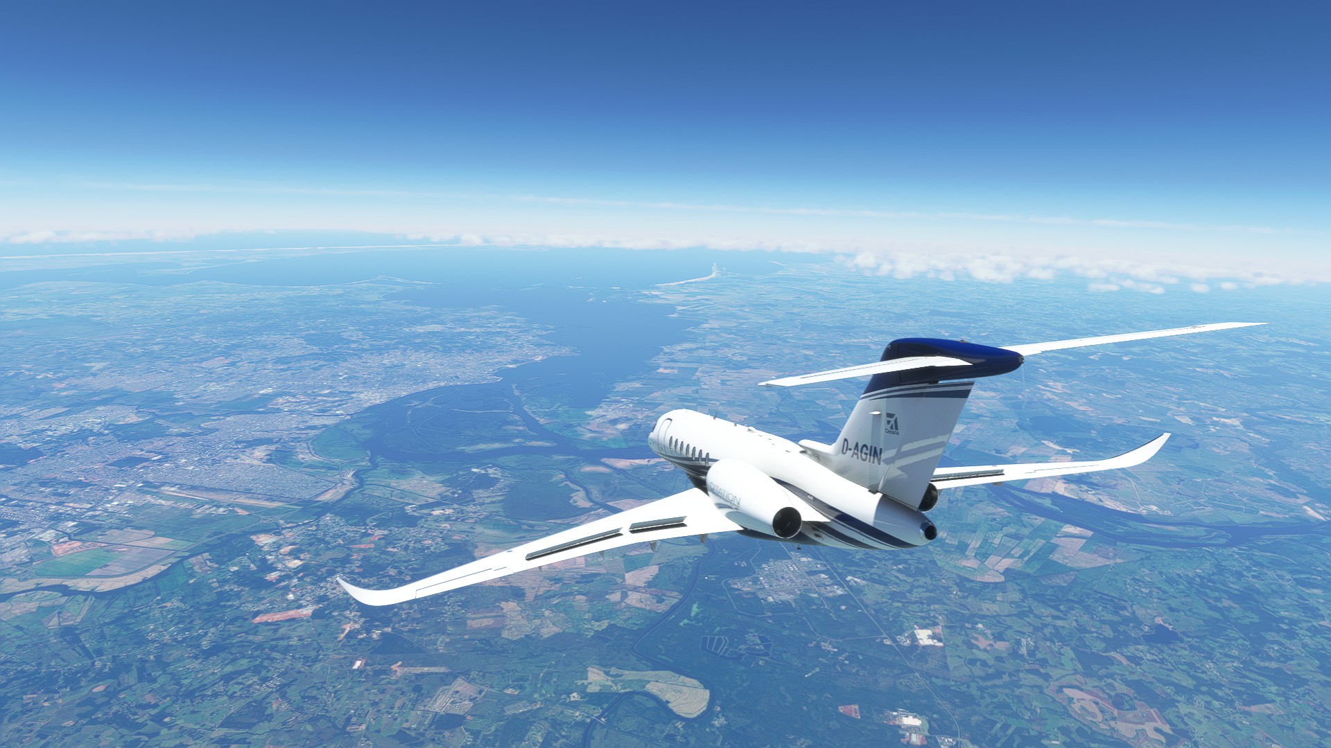
Someone… might have been me or someone else… royally messed up the IFR approach and I hand-flew the rest.
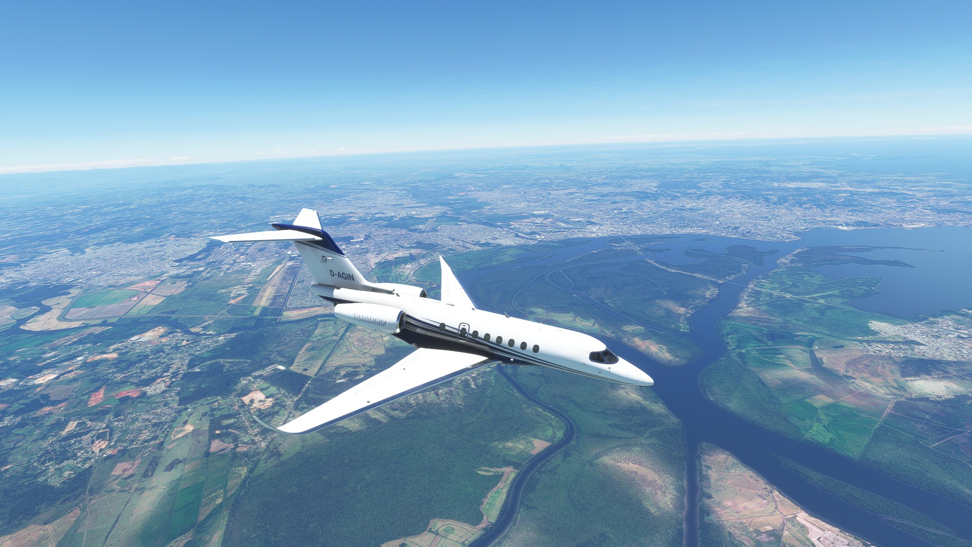
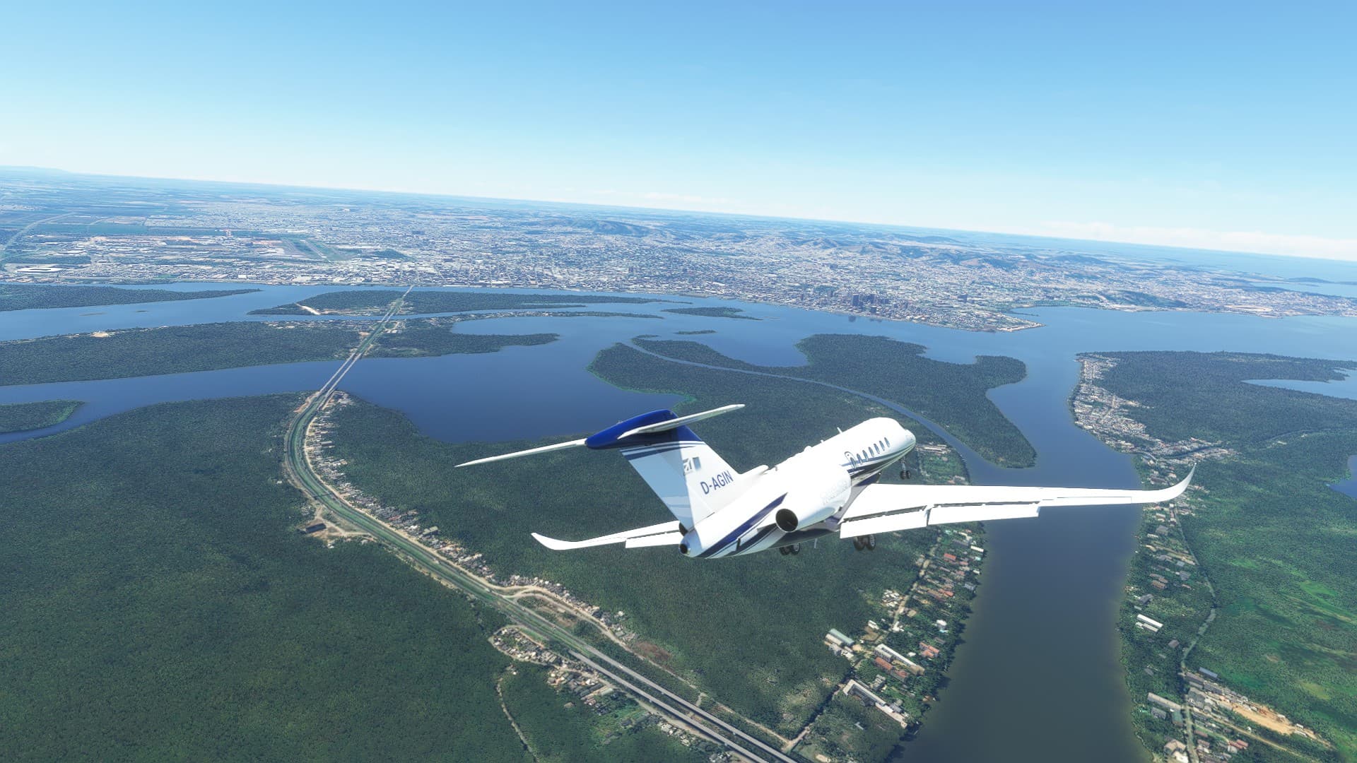
On final, but it wasn’t pretty.
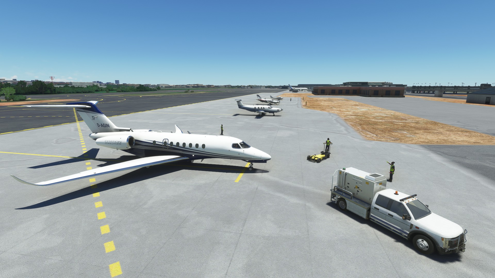
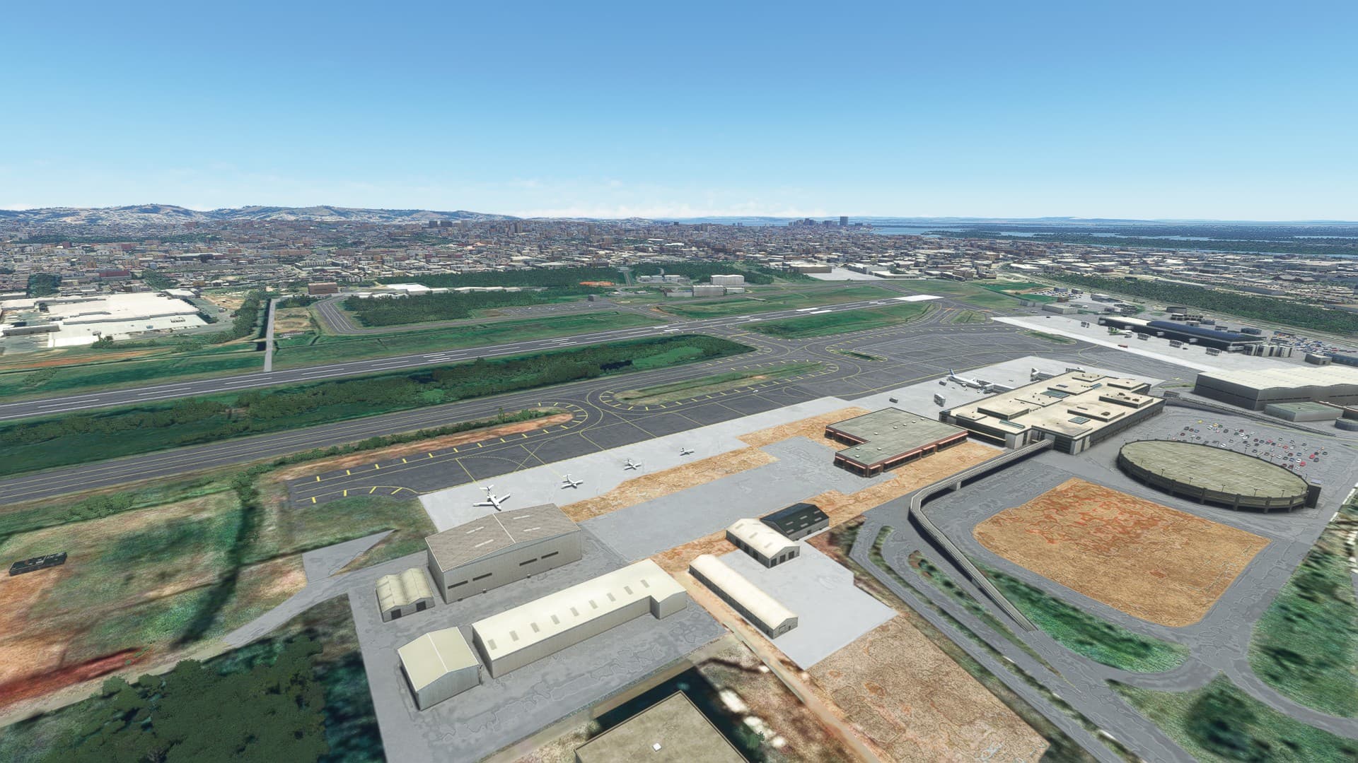
Landed in Porto Alegre. At least the landing itself was decent. I felt alegre.
Next up: Flying to Buenos Aires! I heard the air there is pretty good. 
8 Likes
Beauty!
I’m interested in your wind aloft.
For most of my trip down here, I feel that the winds have been near calm. My GS, when I am within signal coverage of a DME, almost always matches my estimated TAS, and my blind no wind headings rarely drift me too far off course even after several hundred miles.
Probably for the best. Otherwise Id be flying over @Bearhedge s house about now! 
3 Likes
Drop in anytime - I’ve got beers and about 10,000 more staples to pull off the project house floor, could use a hand 
2 Likes
Man those are great AAR’s guys, lovin’ it! I don’t have the time nor the headspace to learn proper navigation and operation of these machines, but these great posts make for a fine substitute! Thanks!
4 Likes
Seattle Tacoma (KSEA) - Bowers Airport (ELN)
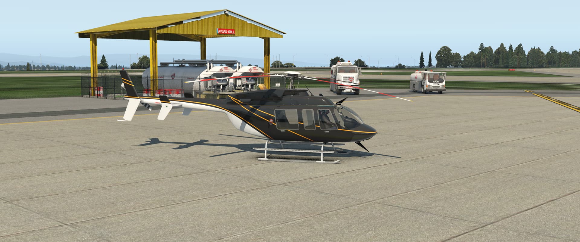
The next hangar queen in my stable is the Bell 407. I had only fired up the module once before, so this was a good reason to give it a go. I got Active Sky to work, so used live weather but not live time because it would have been pitch black.
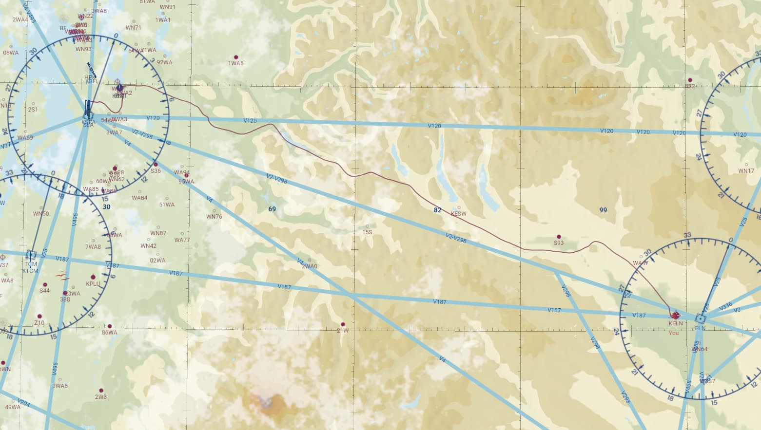
My route was more or less straight inland to Bowers Airport, some 80NM away.
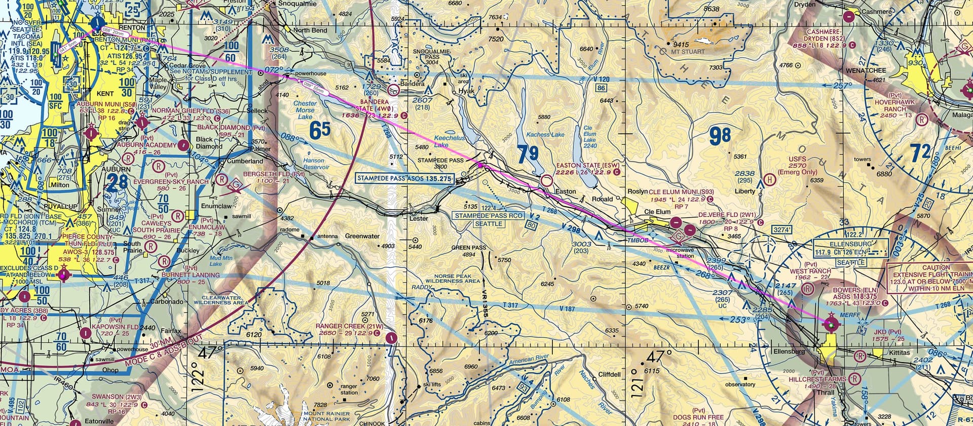
My flight plan was to perform a VFR flight in the valleys. Initial pinpoint was the Chester Morse Lake with its easily recognizable two fingers. From there, I planned to continue to the next pinpoint at Keechelus Lake and the little pond before it. From Keechelus, I figured I’d follow the road and go check out the wind farm before arriving to Bowers Airport.
I also planned to tune in the Ellensburg VOR for extra situational awareness.
My flight started at the GA helo ramp at KSEA. She is such an iconic bird from every 80’s movie ever, isn’t she.
I had the manual open on the laptop, but didn’t find a very detailed startup guide - however, it did say that the FADEC is capable of an almost fully automatic start, so I looked around the cockpit, checked the rotor brake was off and flicked the battery on, fuel boost pump on (helpfully marked with yellow for importance) and fuel on, and flicked the starter.
Much to my surprise, she started without issue! Amazing. I flicked the avionics on, set the altimeter and the nav radio and I was good to go.
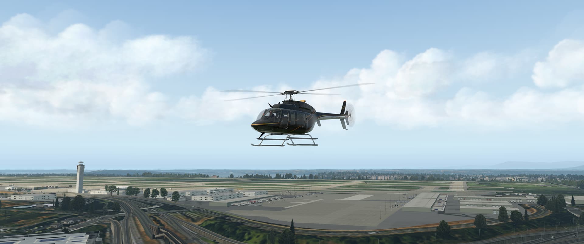
After a short familiarisation hop and landing to Renton, I headed over Seattle’s suburbia towards the hills in the east.
The most exciting situation of the flight came about when I curiously pressed some buttons on the SAS, which resulted in a near death experience - I ended up fighting the helicopter in a descending 40-50 degree bank angle spiralling dive at low altitude.
I turned the SAS off and did a full trim reset (thank goodness I mapped that on the joystick pinky paddle out of old habit!), which narrowly saved the situation. I did not touch anything in the cockpit for the rest of the flight.
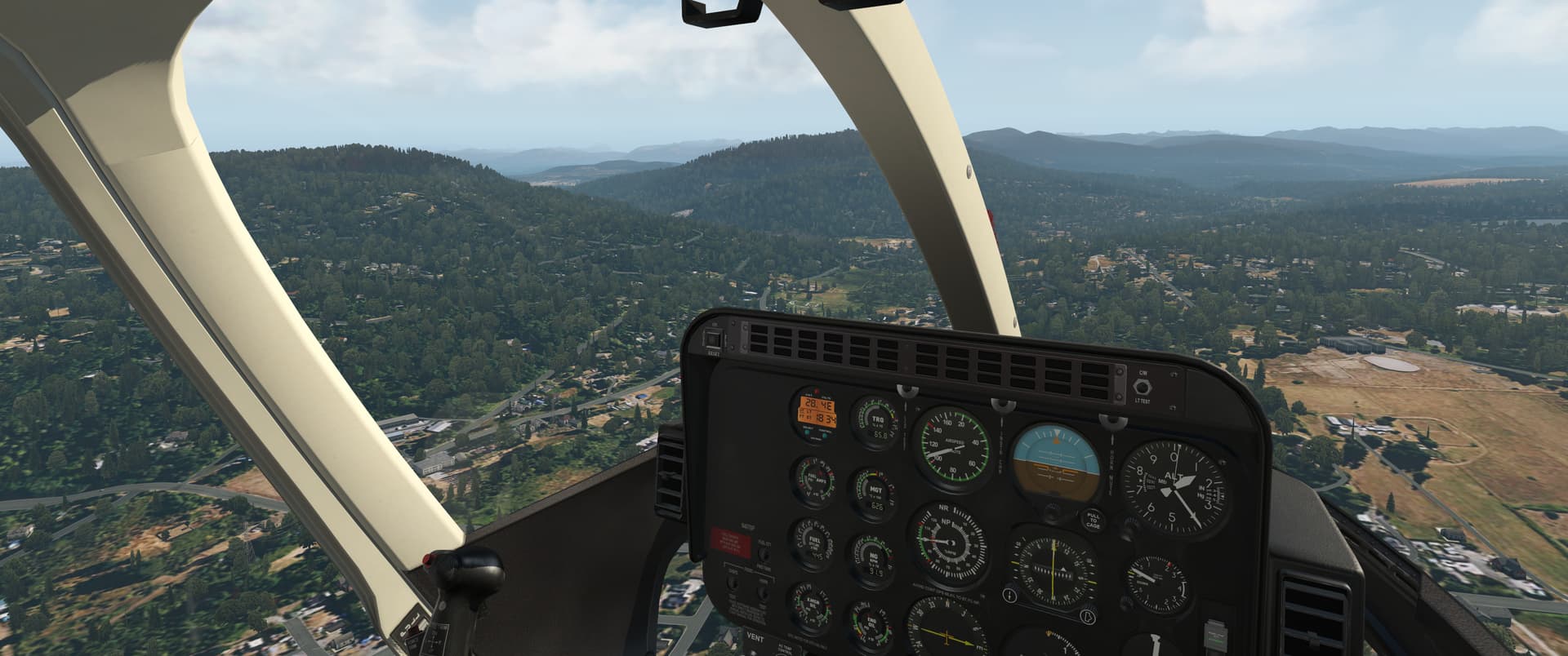
My first pintpoint, Chester Morse Lake, was where I hoped it would be.
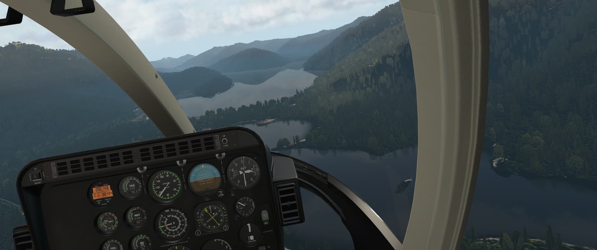
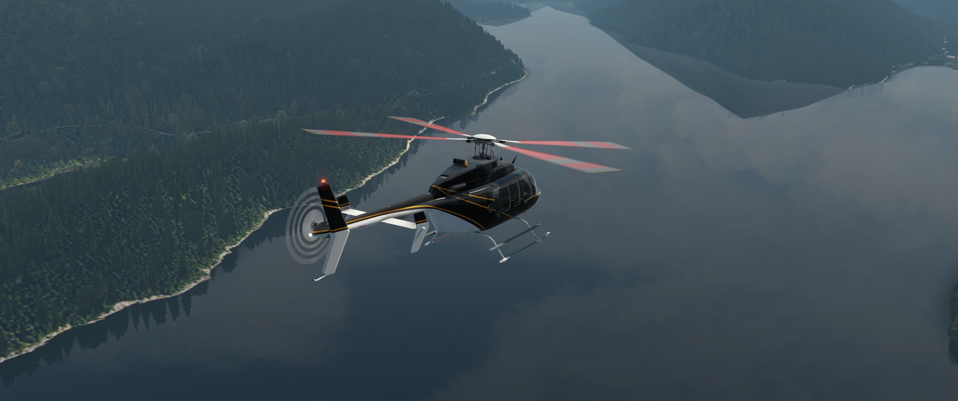
Looked like a nice spot, actually. Wonder what the fishing is like.
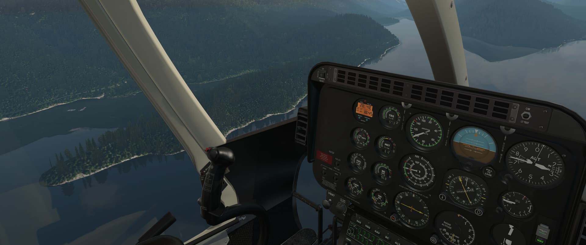
From Chester Morse, I started the climb up the valley further inland. There was a slightly strange gusty wind layer higher up, which made for fairly unpleasant travelling, so I stayed tucked in between the hillsides for smoother air. I don’t know if the bumps were something to do with the mountains or just an Active Sky altitude-related creation.
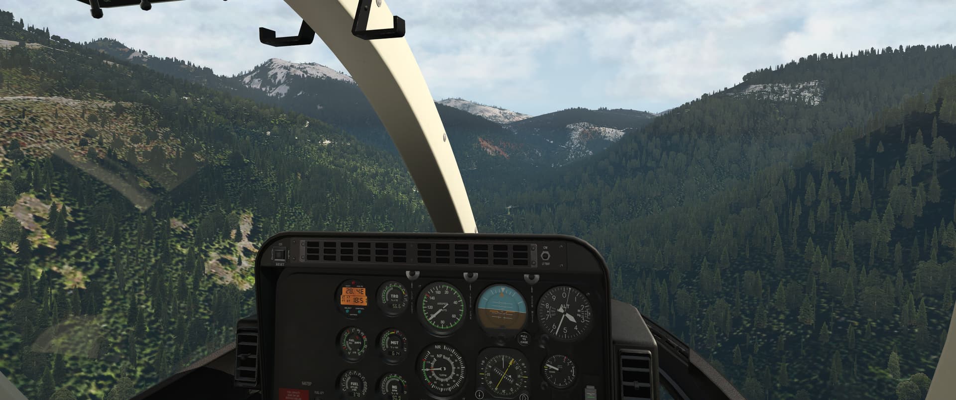
After the climb, I got to the opening of the wide long valley that would lead me to my destination. Keechelus Lake, my second fix, marked the western end of the valley. The climb went smoothly and everything looked pretty good - temps and pressures in the green and I appeared to have plenty of fuel for the rest of the flight.
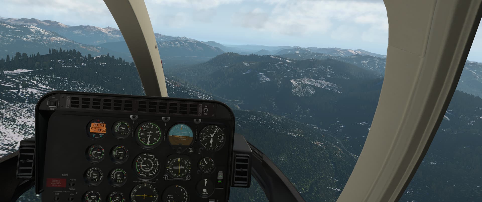
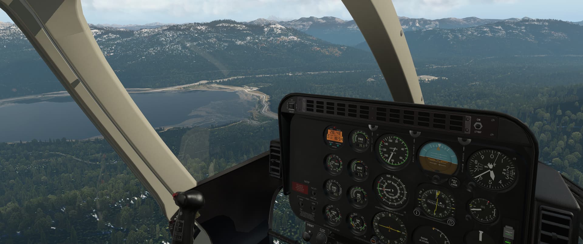
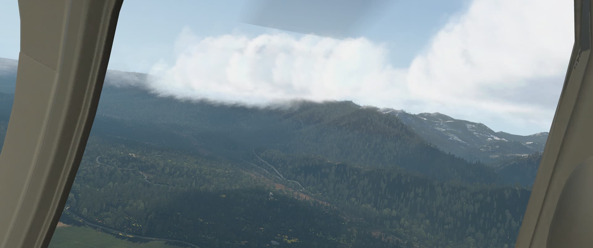
As I made my way into the valley, a little bit of cloud started to form on the hillside to my right. Nothing to worry about as it was, but it was worth keeping an eye on, as I definitely did not want to get caught in the cloud in this thing.
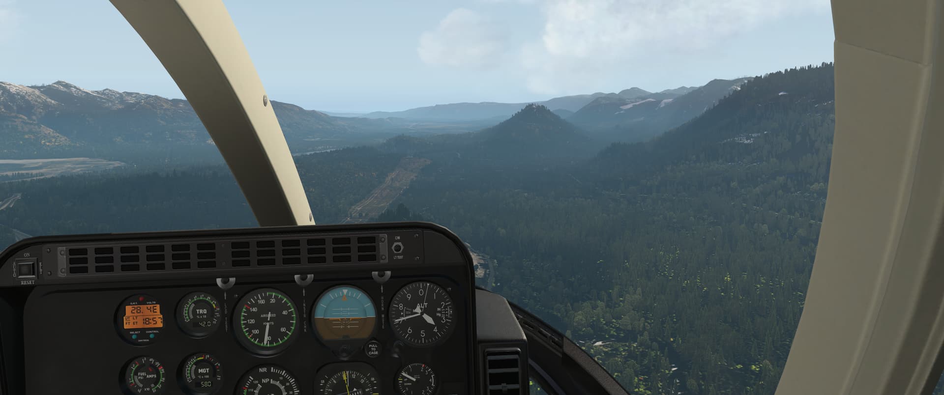
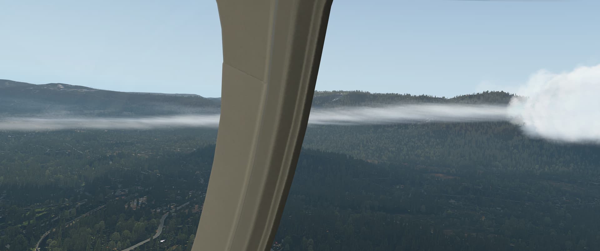
The weather ahead was clear, though, and I soon spotted the wind farm, my last fix, in the distance.
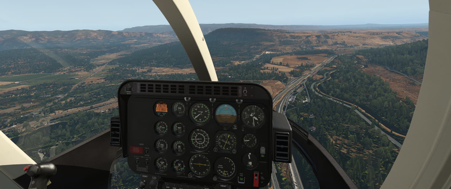
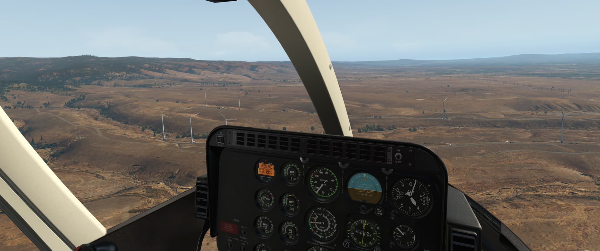
The flight along the plateau to Bowers was easy from a navigation point of view, but that gusty wind returned with a vengeance and I was getting blown around quite a bit as I was coming in to land.
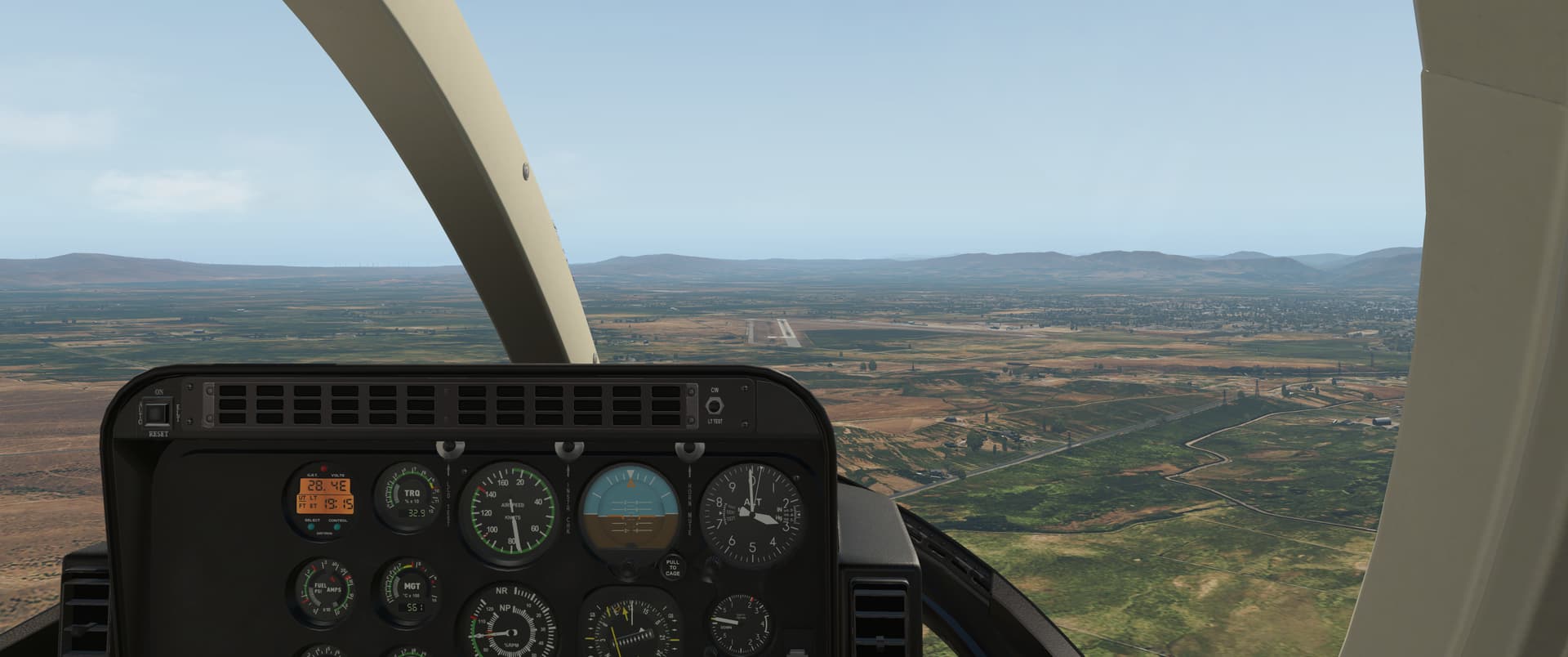
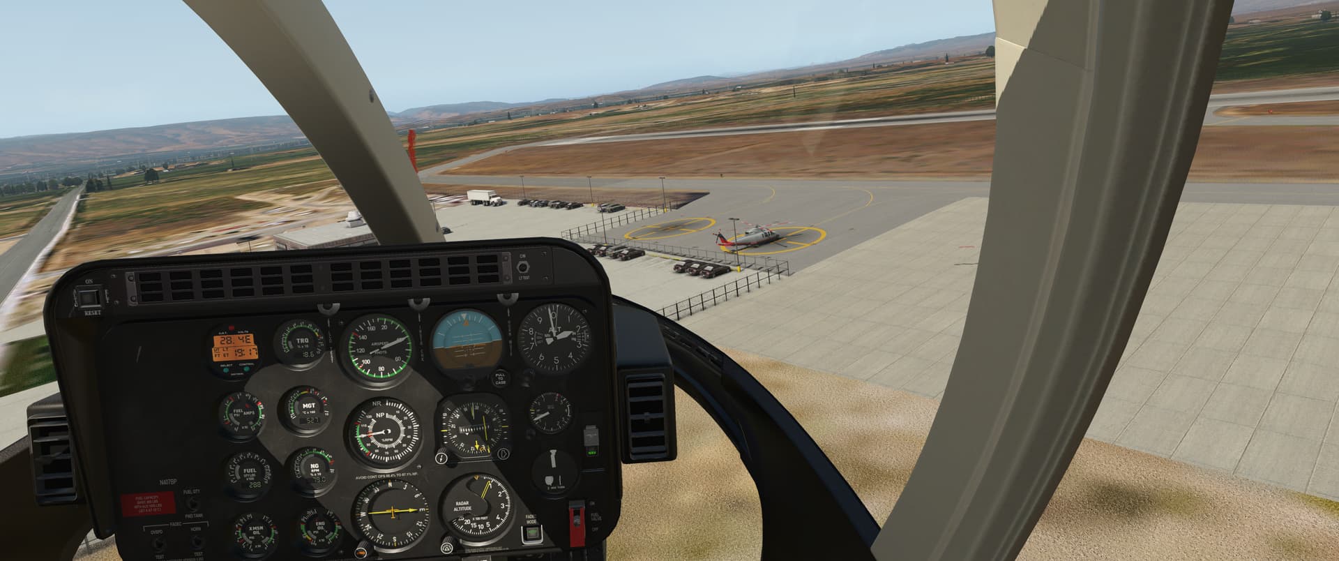
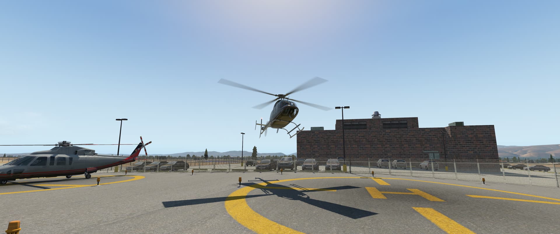
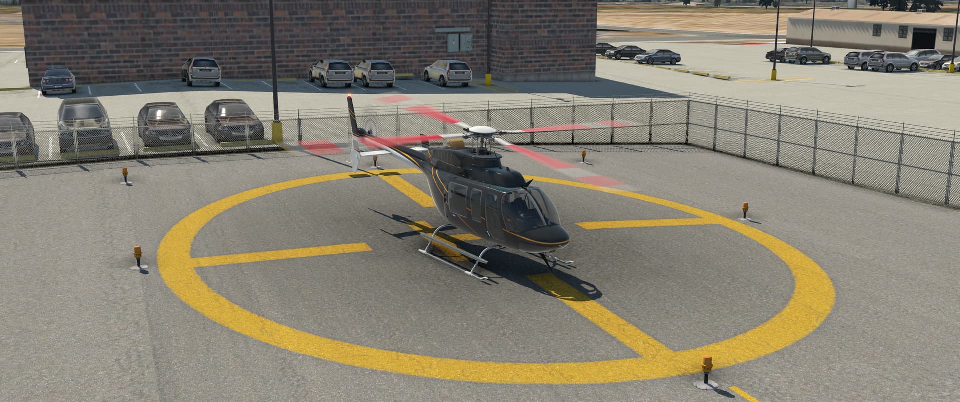
The route flown.
7 Likes
Nice job! That landing was right on the money.
1 Like
Leg 28: Tte. Rodolfo Marsh Martin Airport, Antarctica (SCRM) TO Ushuaia/Malvinas Argentinas Airport (SAWH)
OR

Since this leg was primarily a long overwater hop, I didn’t figure that there’d be much sightseeing. So, no sense in dawdling.
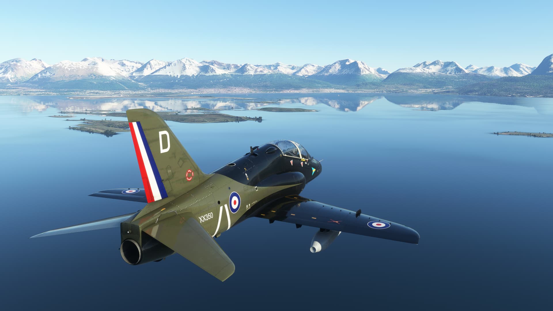
This looks like a job for the Hawk! Now in the colors of 208 Squadron courtesy of Donka.
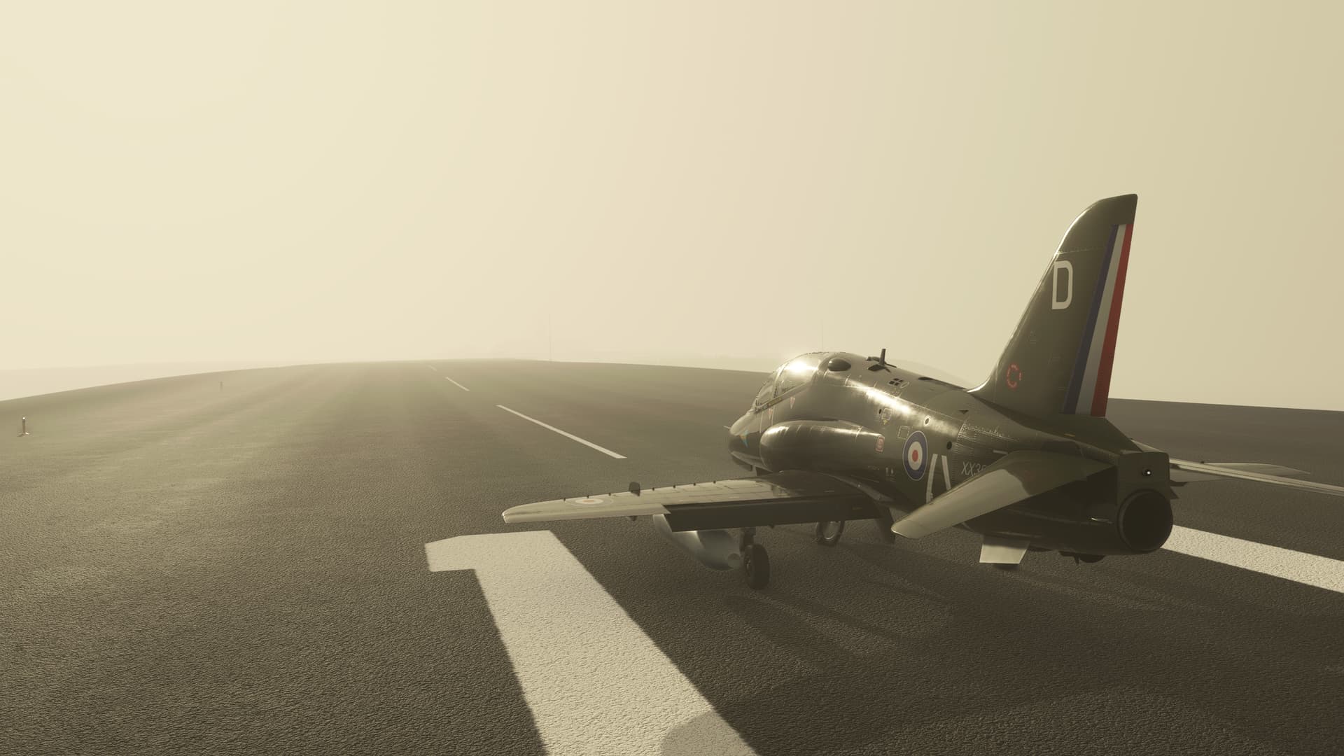
A nice nod to the original I think.
My alternate title for this leg presented itself pretty immediately upon strapping in to the cockpit.
If you recall, I got in here a few days ago by hugging the bottom of the 300ft ceiling in the hope of breaking out the field. Much of my confidence for doing this was a consequence of looking at Bing and Google maps and seeing that the terrain was largely flat, though not completely so.
Here’s what I saw while the weather was drawing in today…
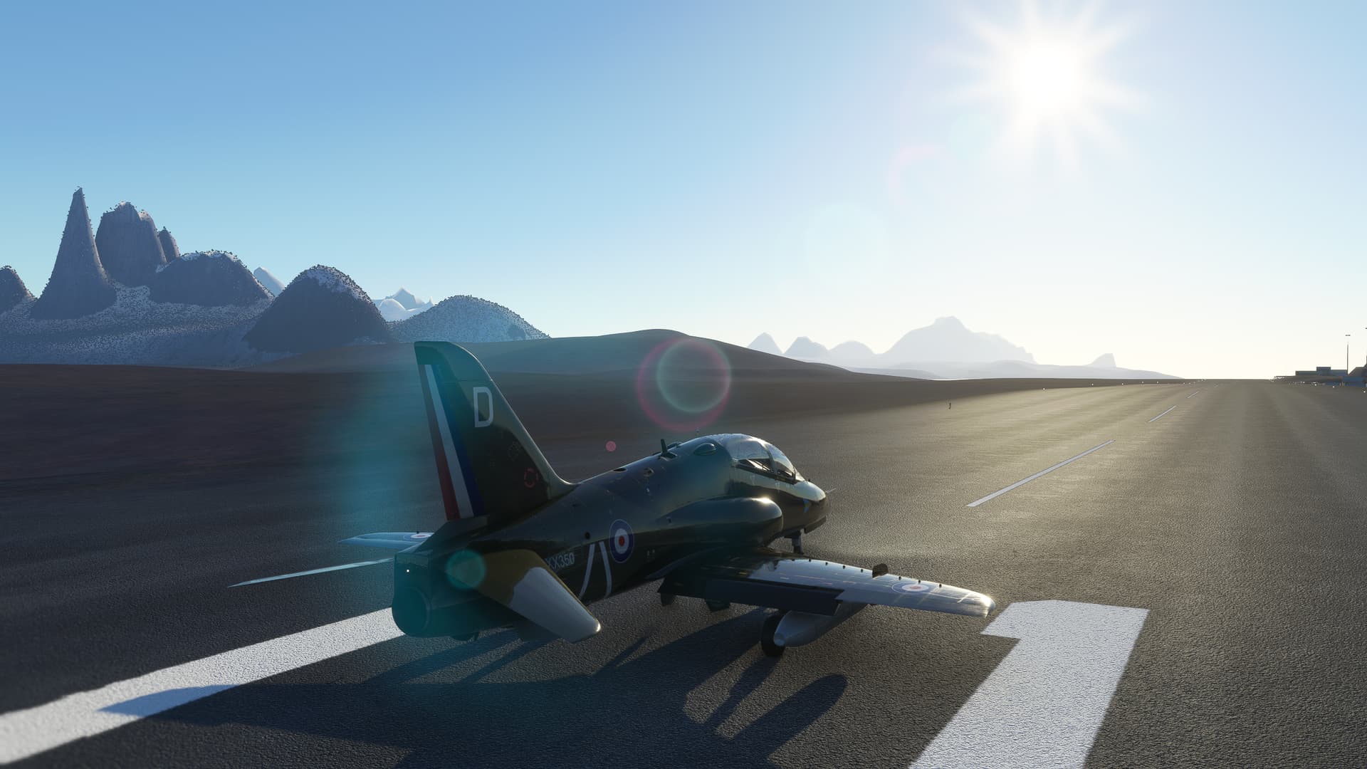
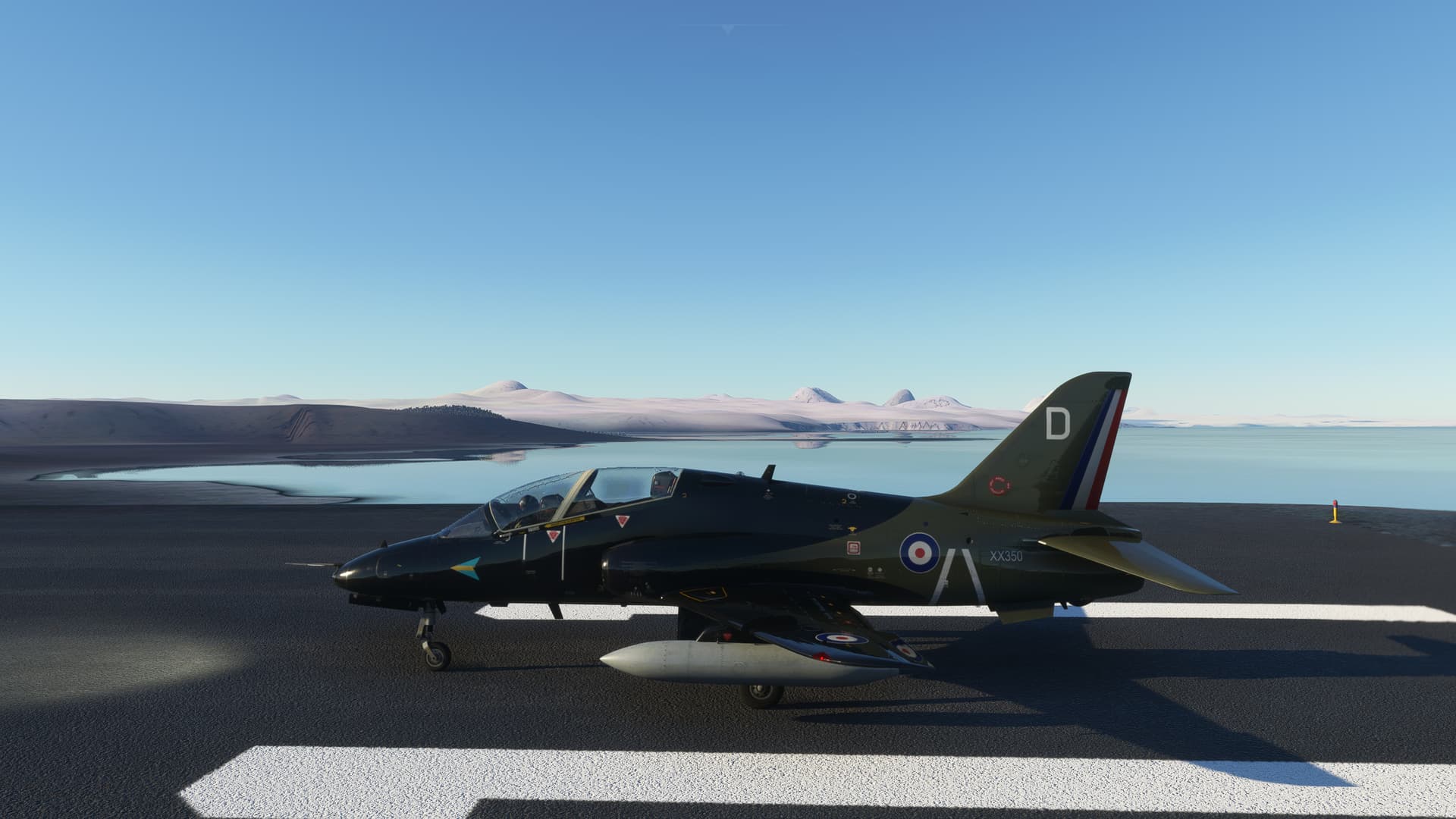

I would almost have preferred not to know.
That notwithstanding, let’s blow this clam stand!
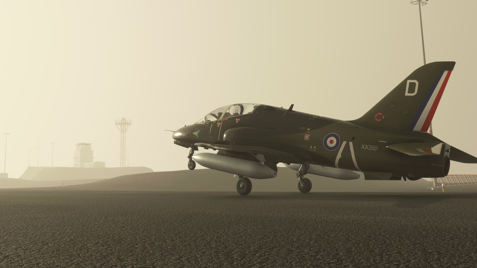
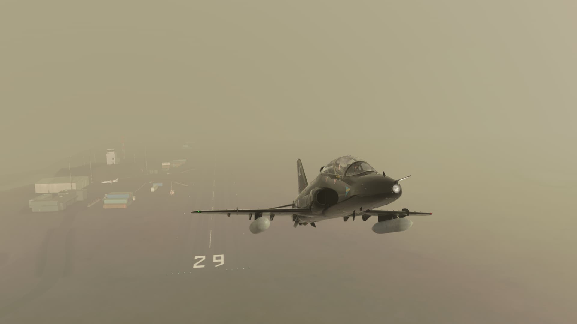
The sim drew in a nice, localized fog bank, just for me. I could not help but be flattered!
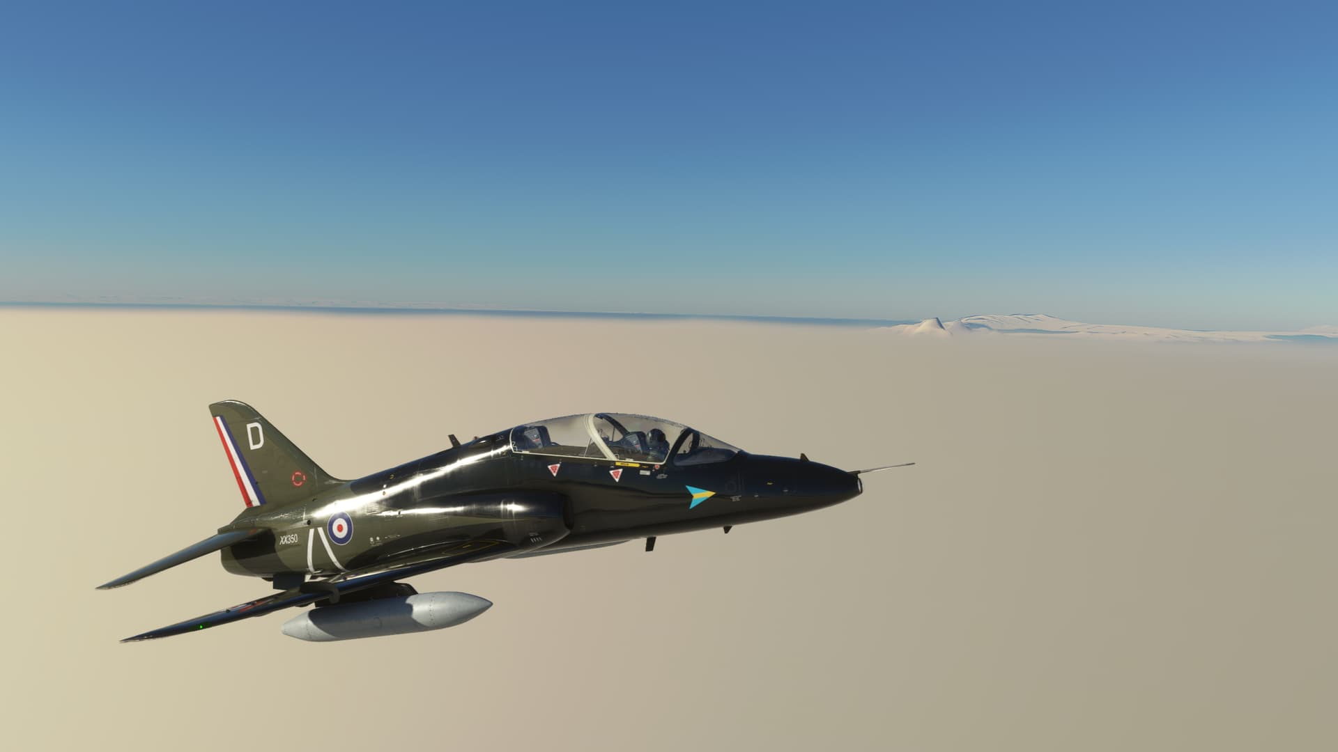
Seriously, how I didn’t turn myself into a fine red spray on that last leg, I’ll never know.
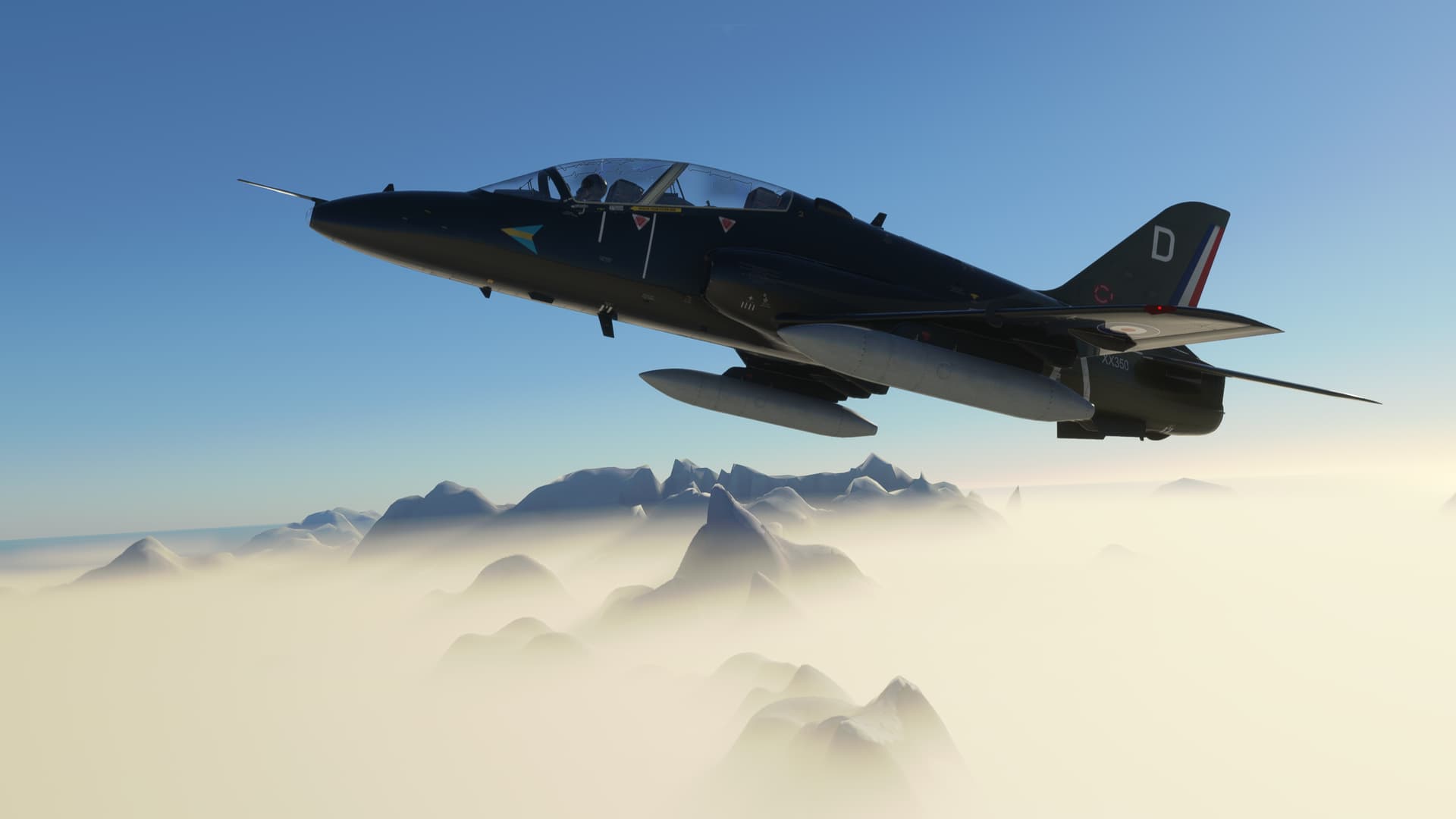
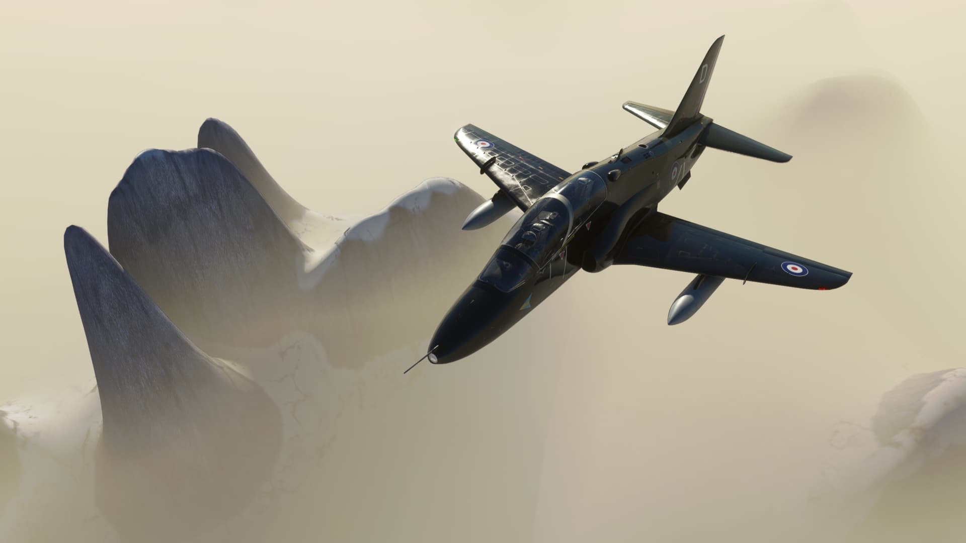
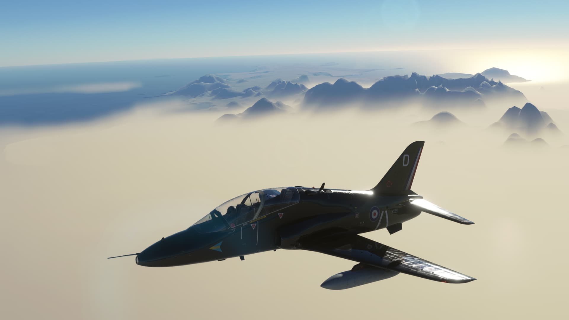
Well, with that little bit of life expectancy shortening realization behind me, I’m on my way back towards South America.
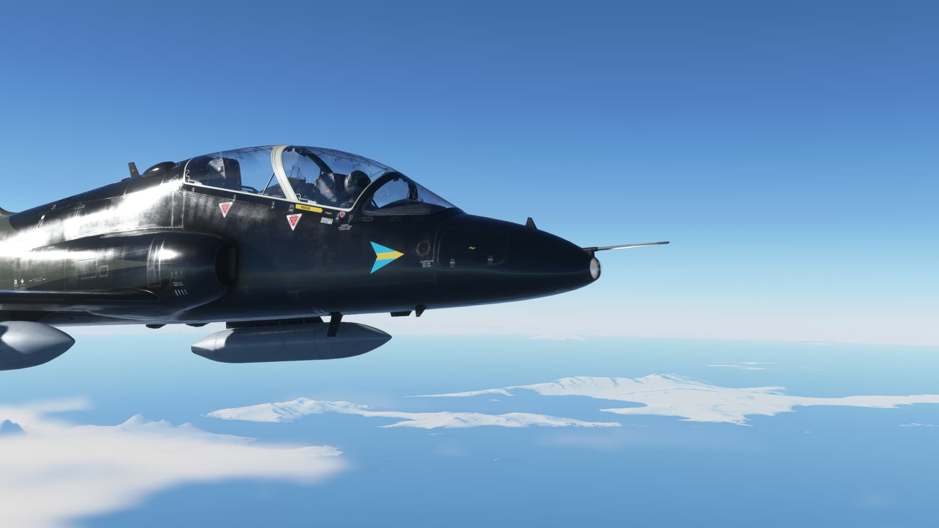
As is so often the case in aviation, just when you think you’ve hit the EASY button, you find that you’ve actually hit the one marked EJECT.
This didn’t quite rise to that level, but it did give me something to occupy my time (and gas) for awhile.
After takeoff, I picked up a heading to intercept the 312 degree radial off the Isla Rey Jorge VOR (IRJ) [TACAN in the Hawk but you get the idea]. But, as the CDI needle kept sliding inexorably off the left side of the scope, I kept increasing my intercept angle.
“Could I have finally found my winds aloft?”
But I was climbing at at least 300kts indicated…that’s one Hell of a wind!
Eventually, and by “eventually” I mean “later than I should have”, I decide to test a theory. I turn hard left, and put a 90 degree correction in.
I continue to drift away from course.
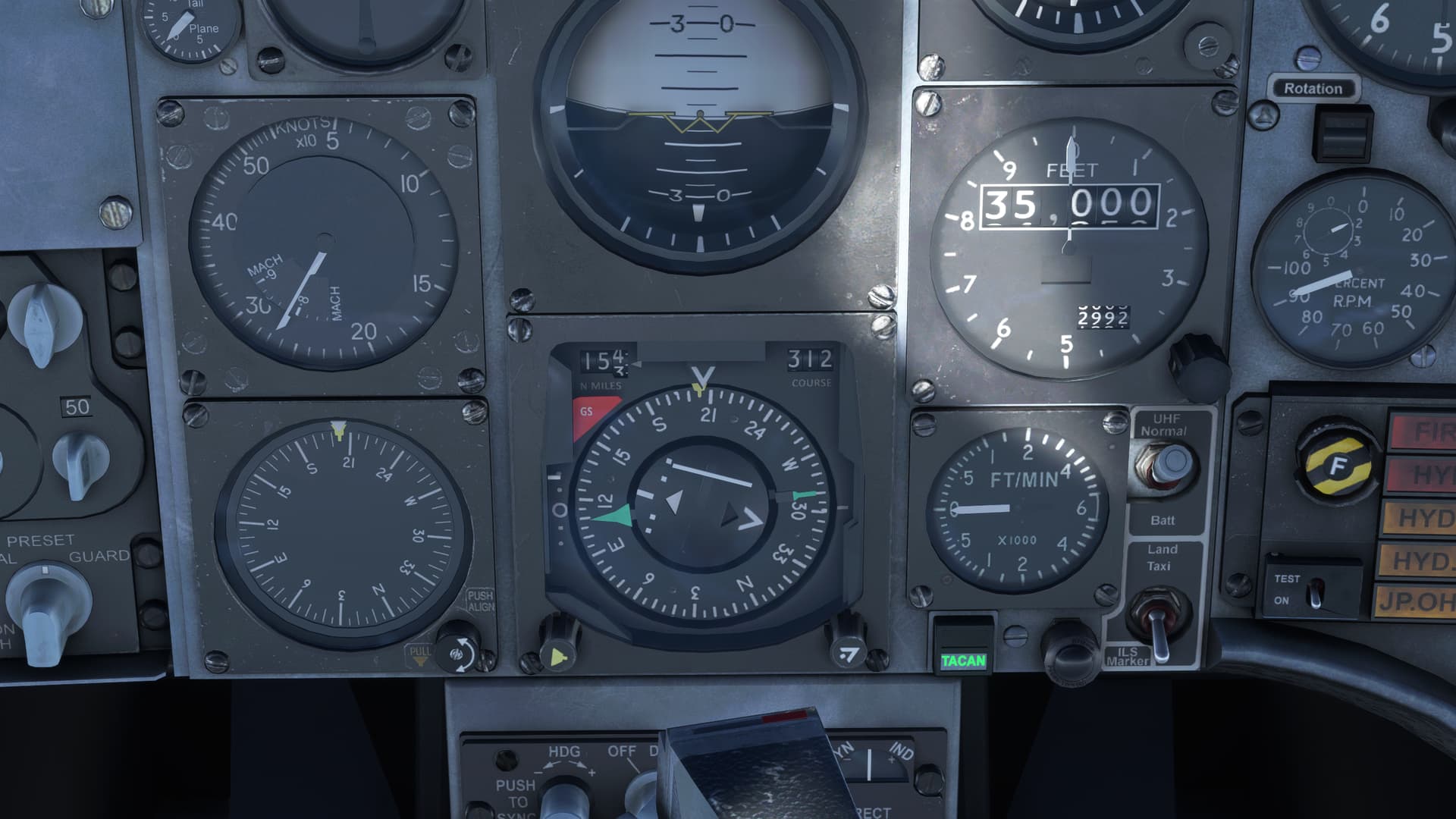
Well, I don’t know everything about instruments. But what I do know, I learned from this patch.
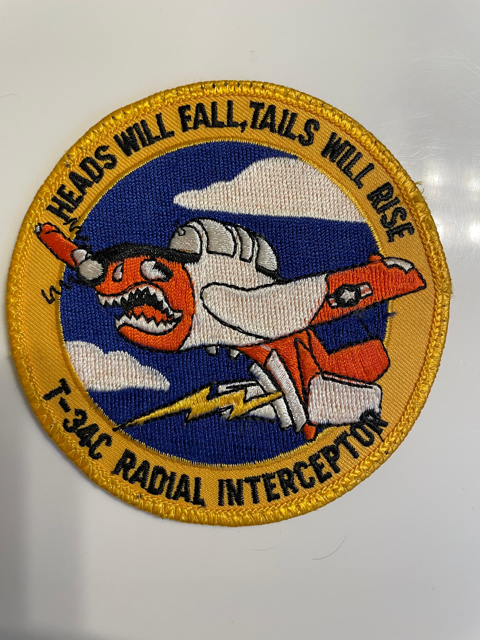
“I think this Mother Scratcher is reverse sensing!”
I turn around the other way.
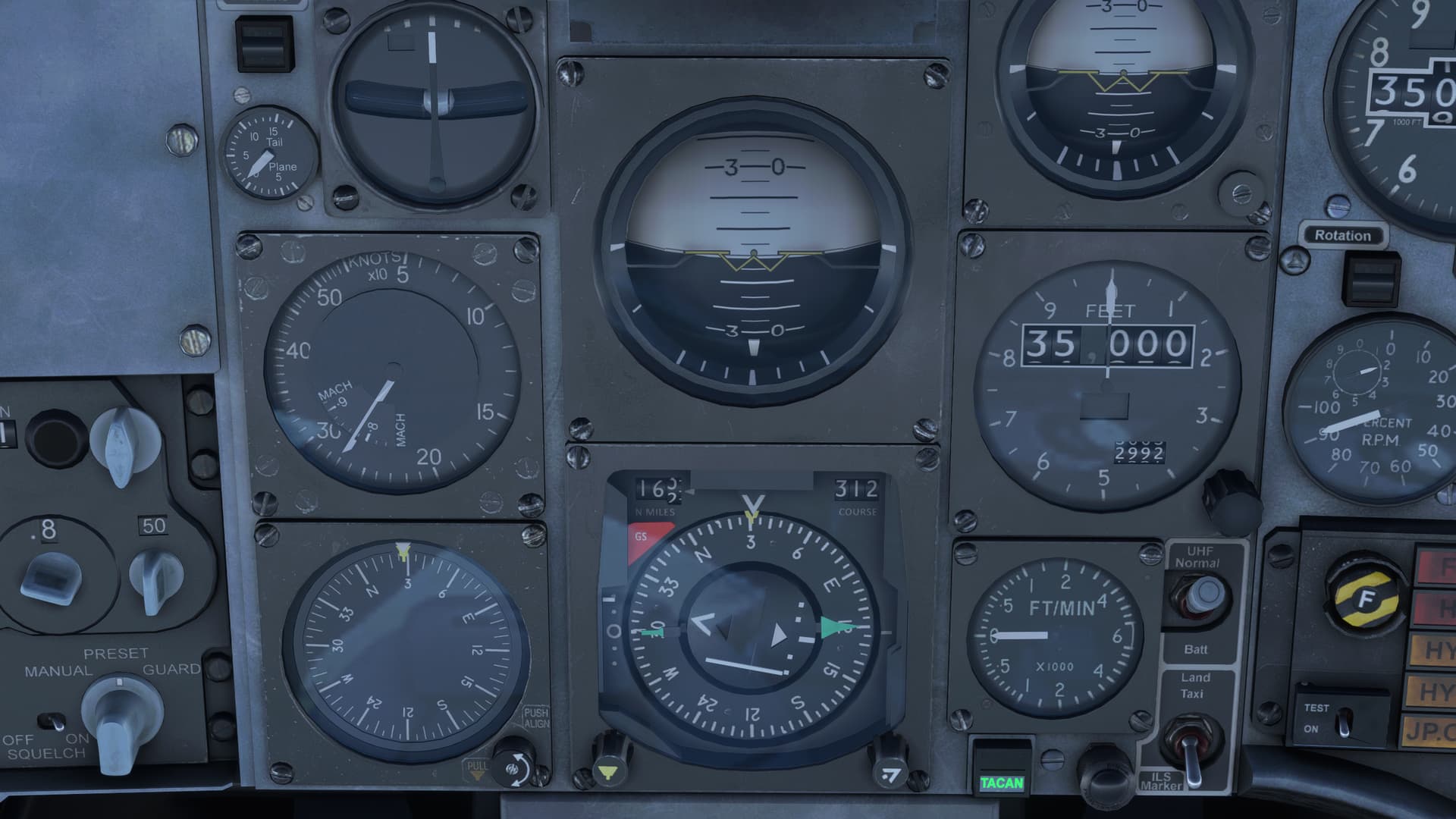
The needle immediately begins to rise!
Like I said, I don’t know everything about instruments.
But, I do know a little something about TOs and FROMs and back courses, and reverse sensing, and that some CDIs require you to dial in the reverse course, but some have a back course button or switch…
And I’m at least 73.7% sure that any decent, God fearing, 20th century CDI should NOT reverse sense when outbound on an airway.
I kind of paged through the Hawk manual, and it doesn’t say anything about a “back course” button. Interestingly however, the tutorials progress by continually advancing forward from one TACAN to the next.
By that logic, you would never find yourself in the circumstance of following a radial outbound.
This might be a good candidate for a patch fix if I am understanding how this works in the Hawk correctly.
Anyway, I finally got on course (do you have any idea how wide radials are at 160NM?  )
)
And returned to the task at hand.
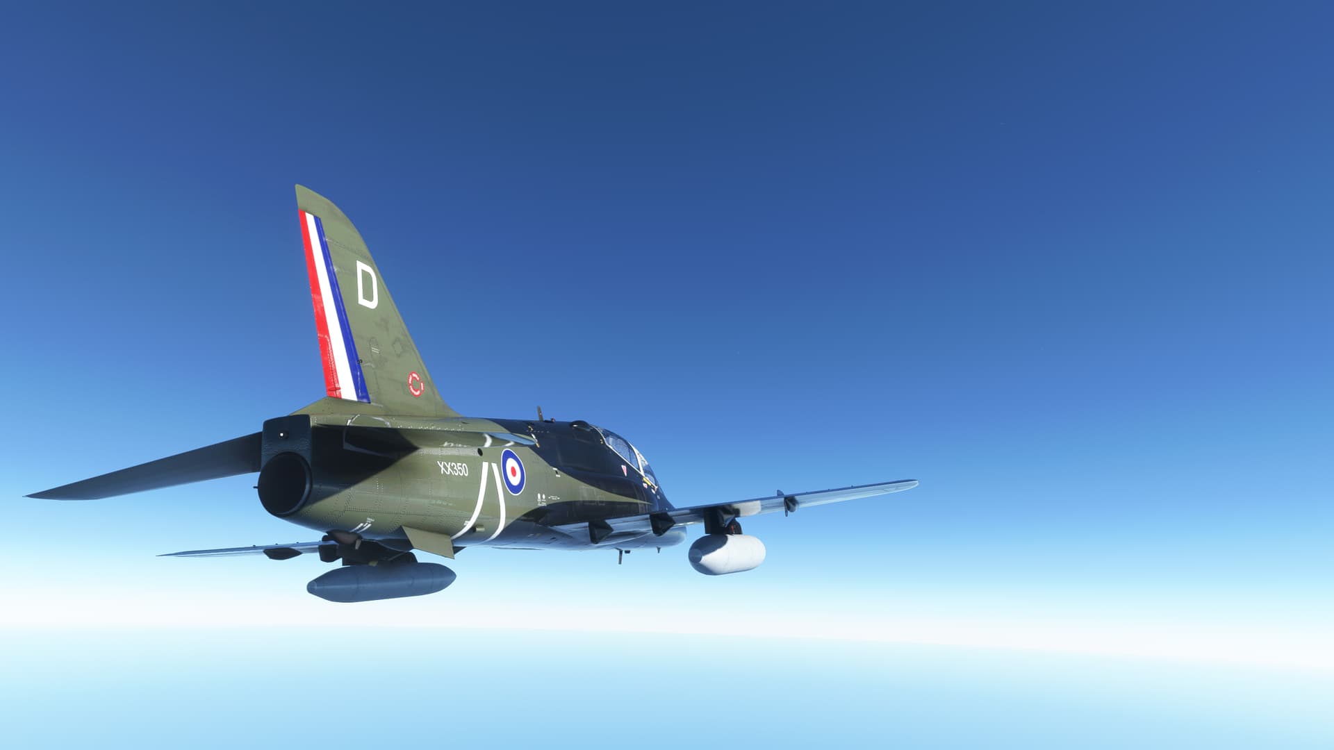
Eventually, the Wollaston Islands appear on the horizon.
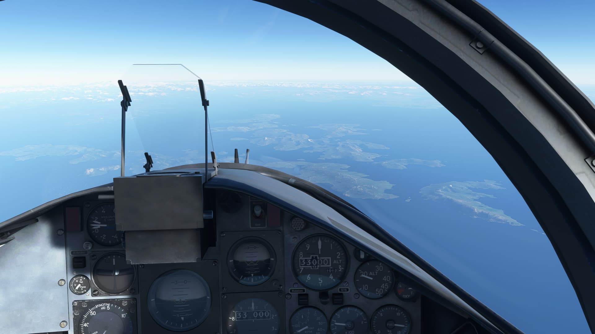
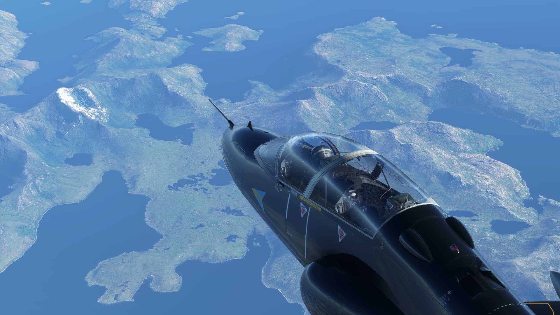
As I cross over onto the mainland, I see that I have enough gas to go down low.
Might as well do it in style!
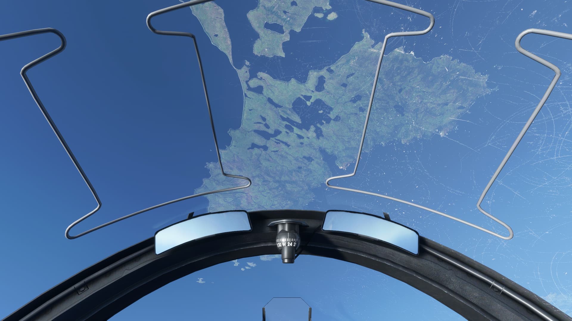
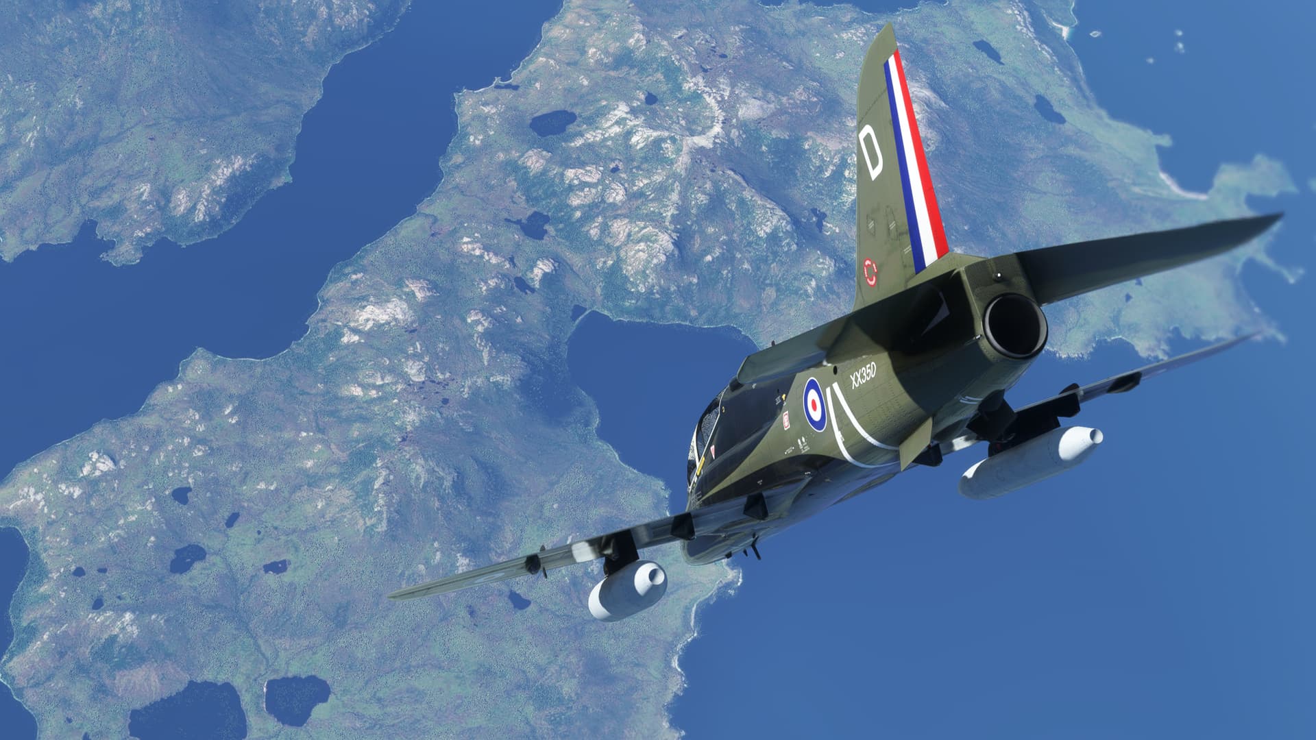
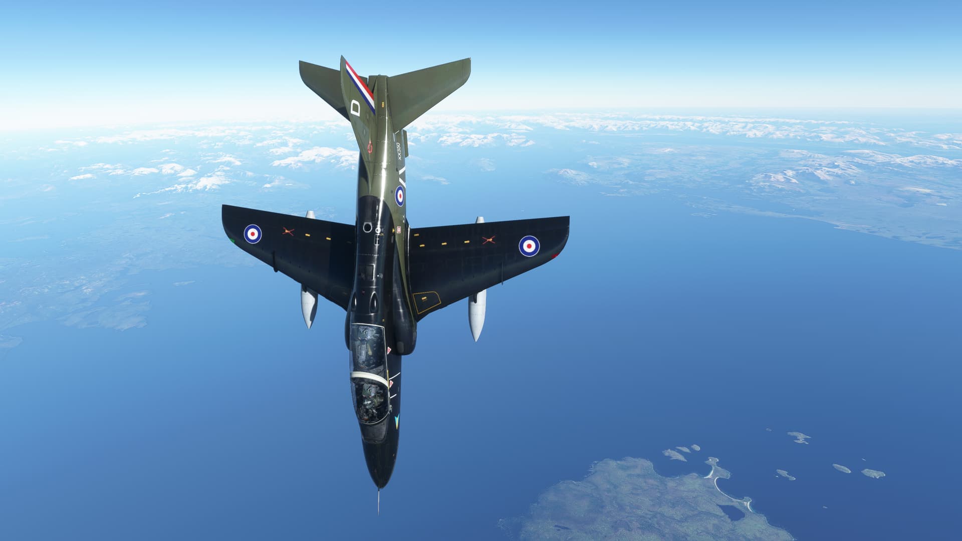
Well, that was fun! I duck into the Murray Channel for the final portion of the leg.
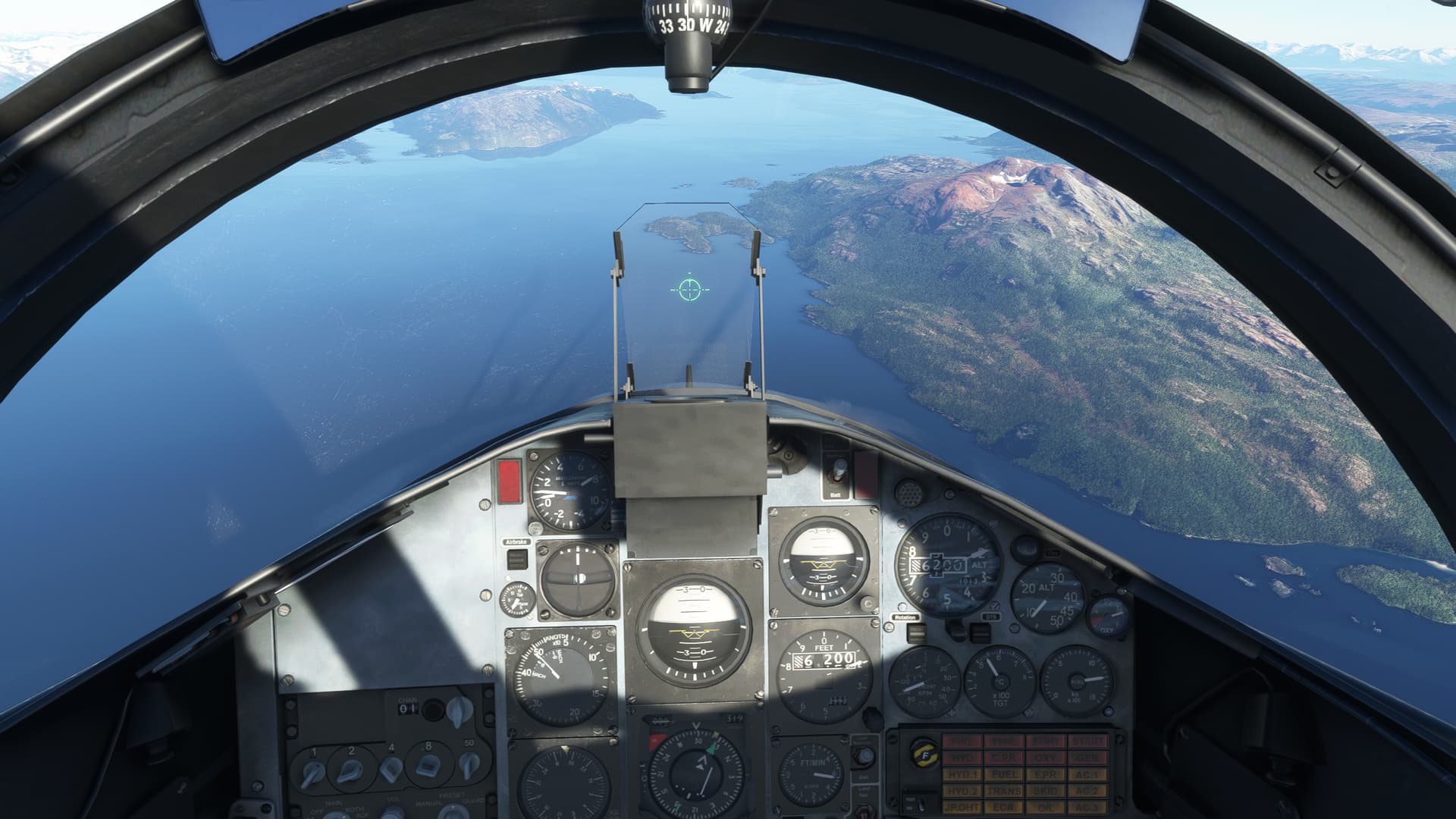
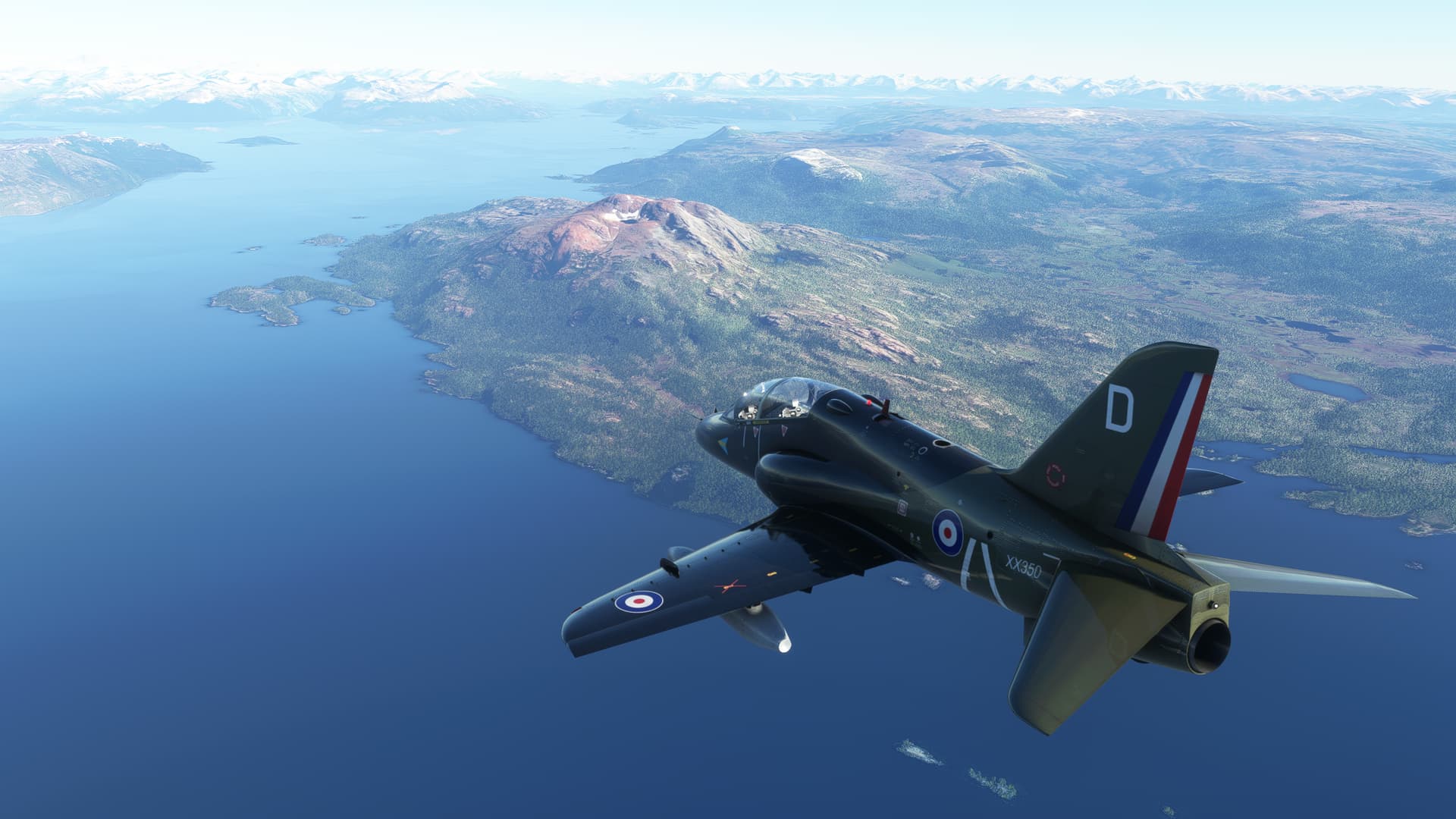
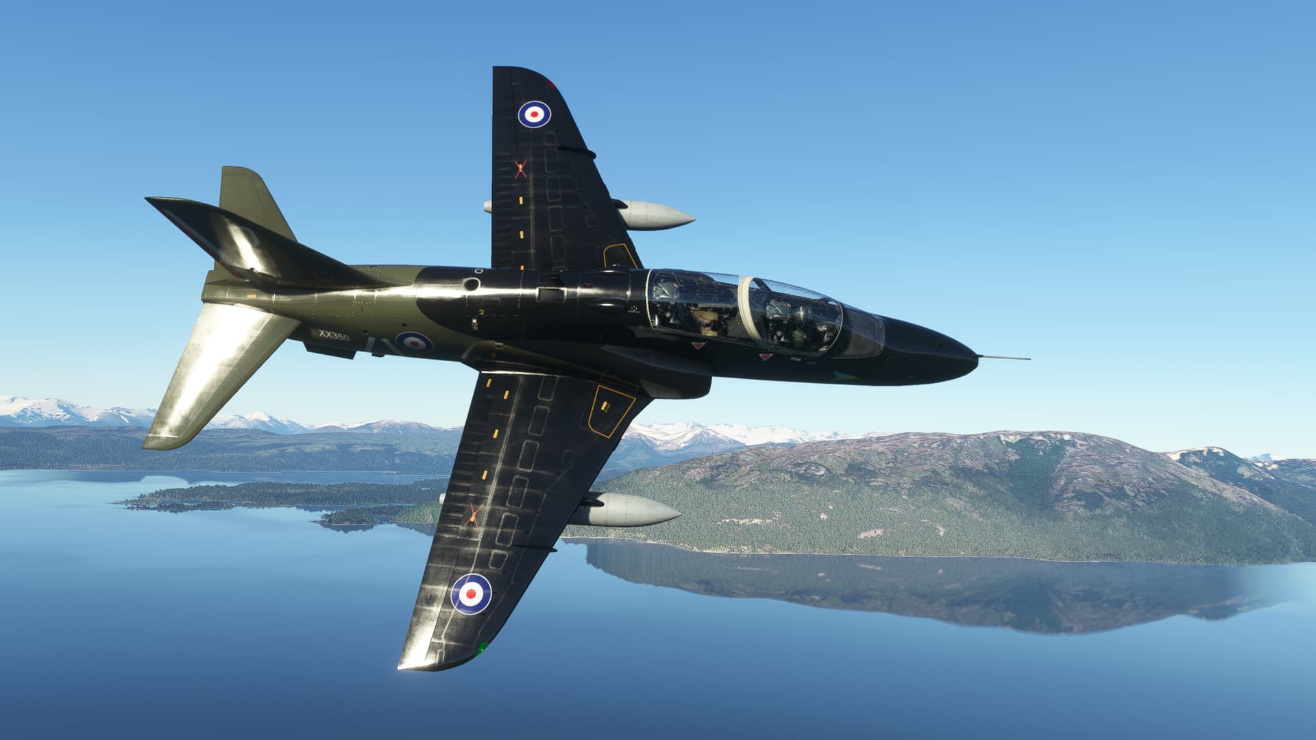
And back over the Beagle Channel to Ushuaia.
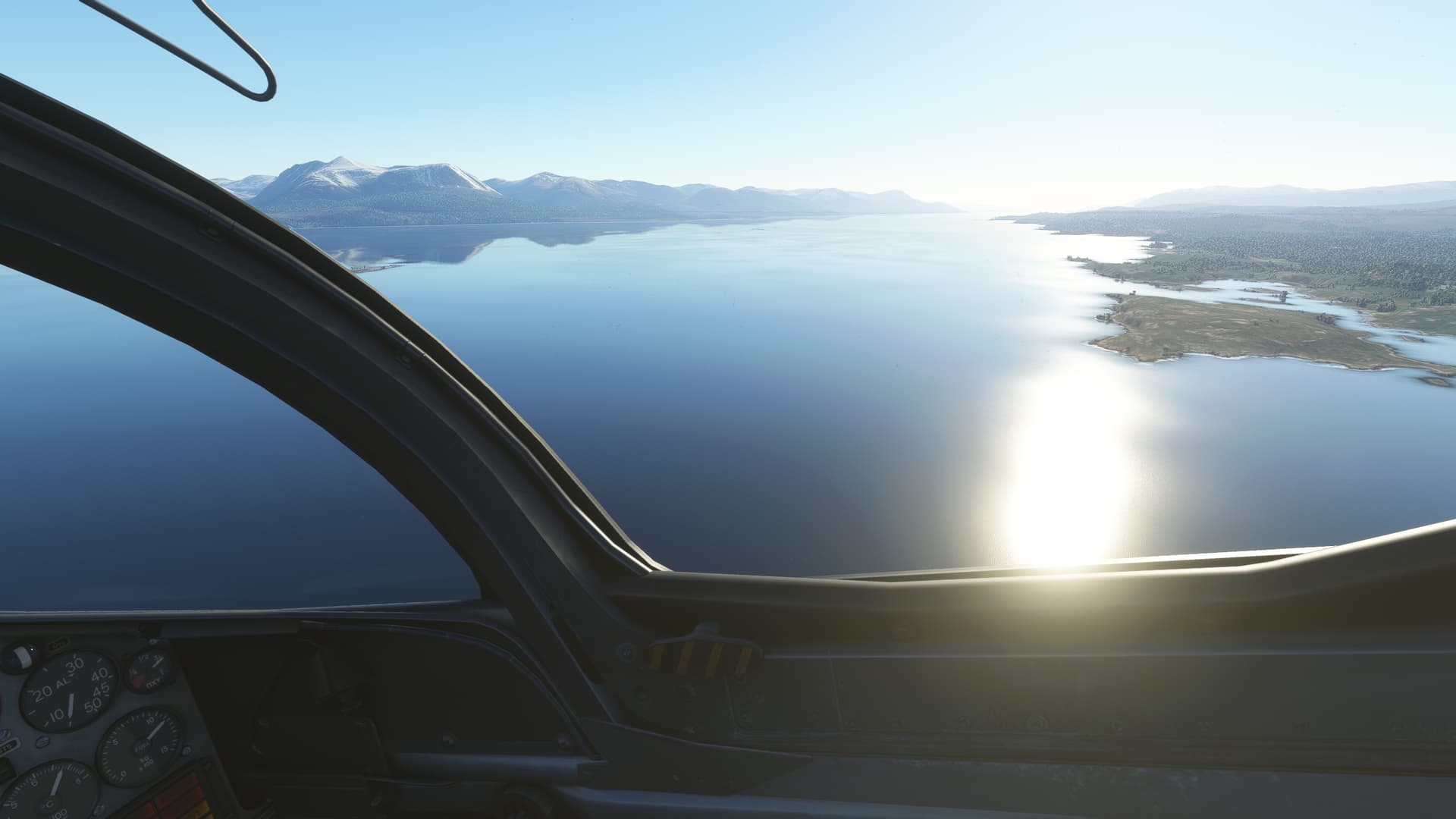
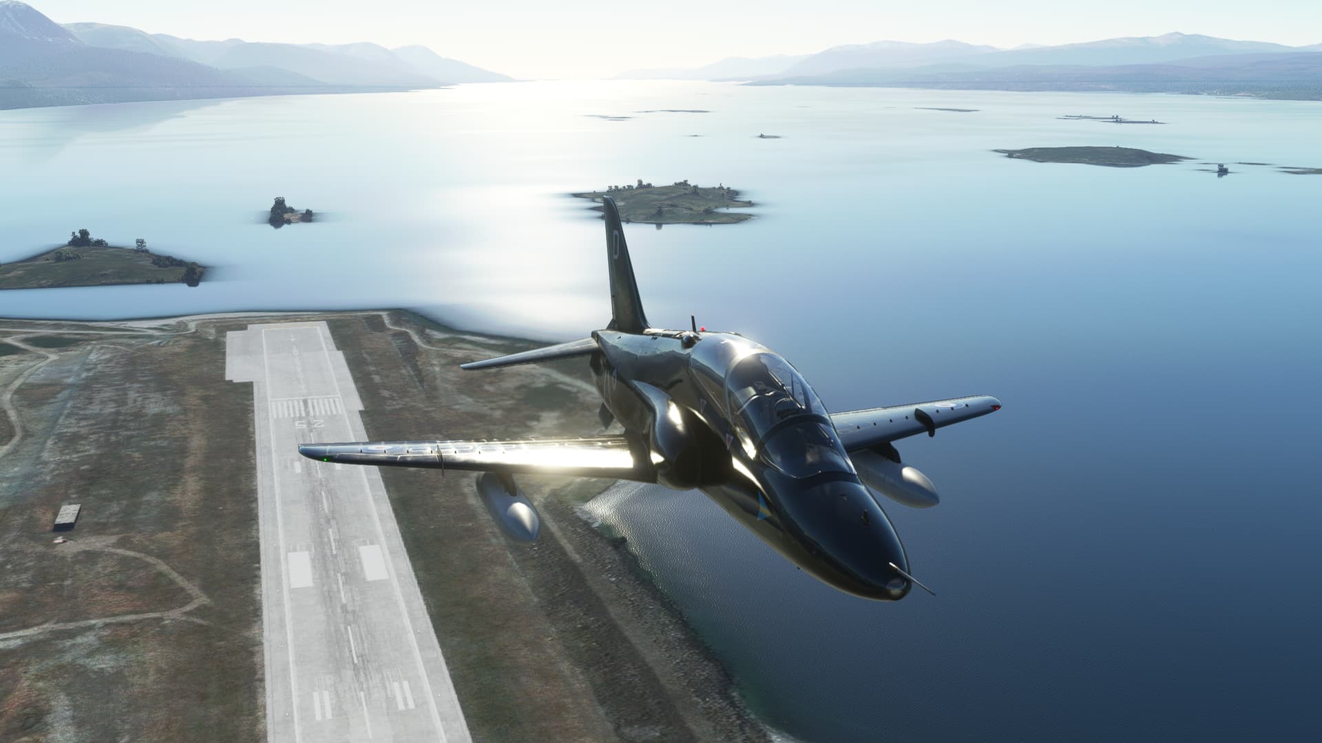
Lined up for the break and the live weather finally comes in to obscure the Channel.
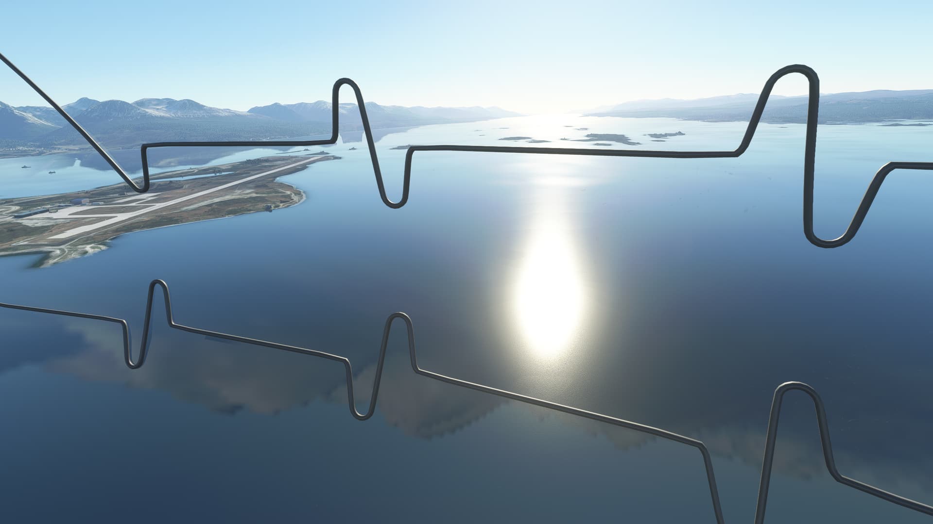
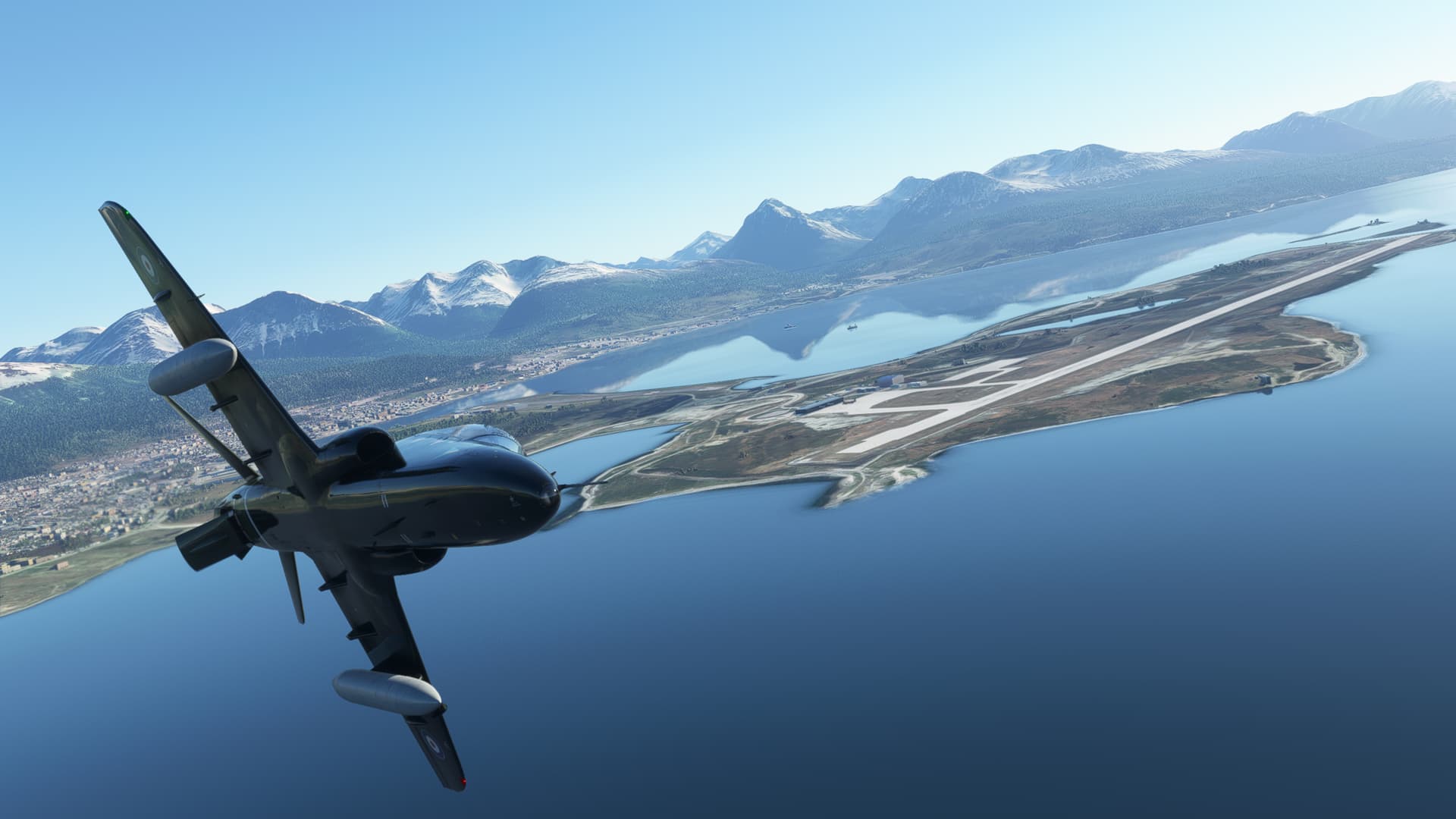
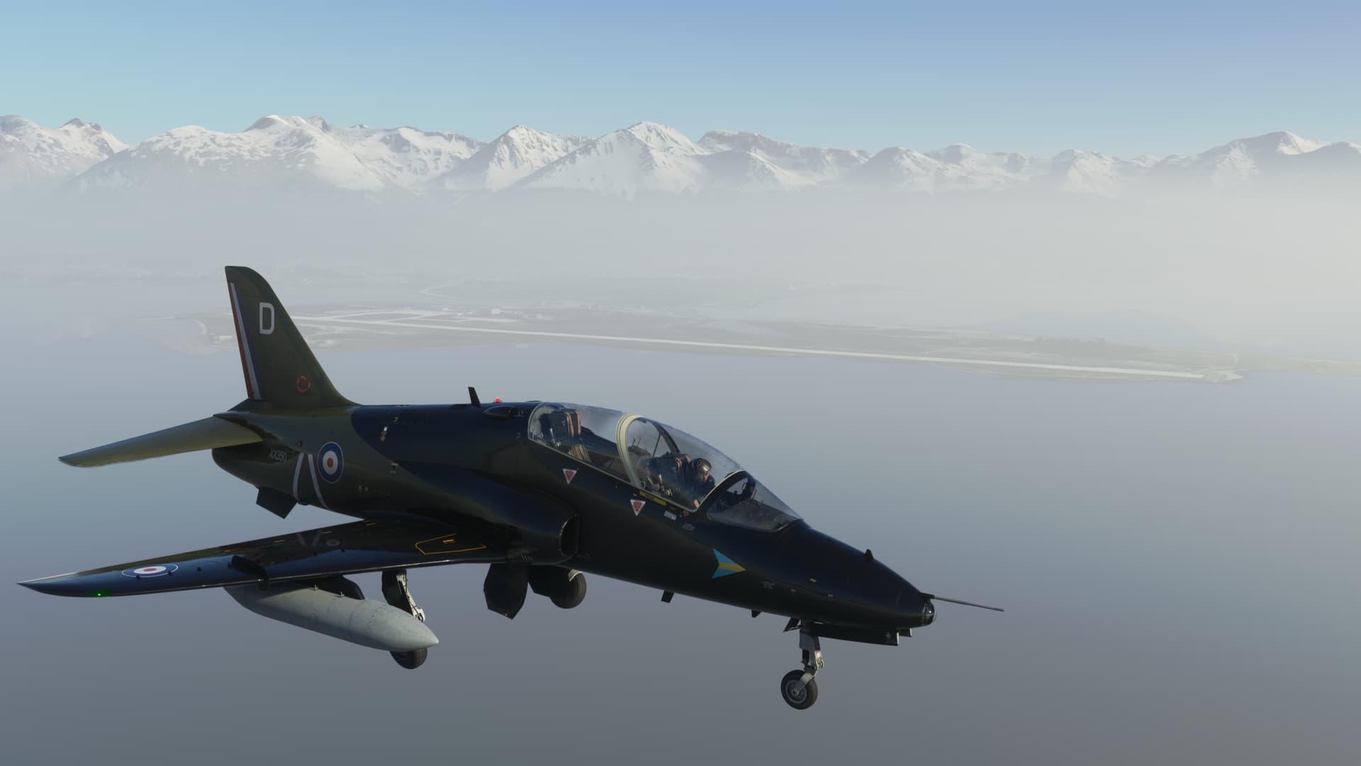
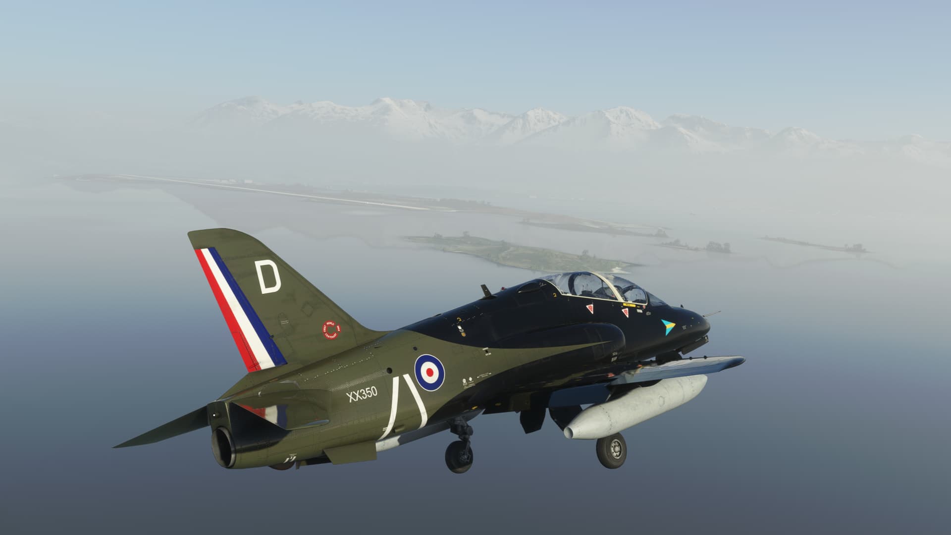
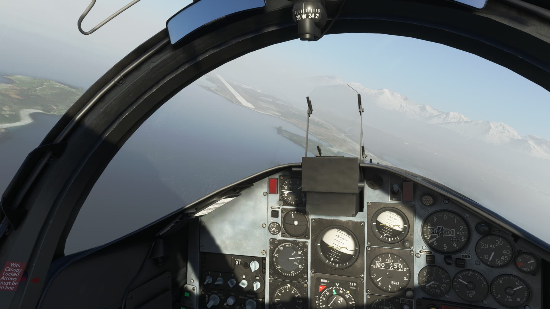
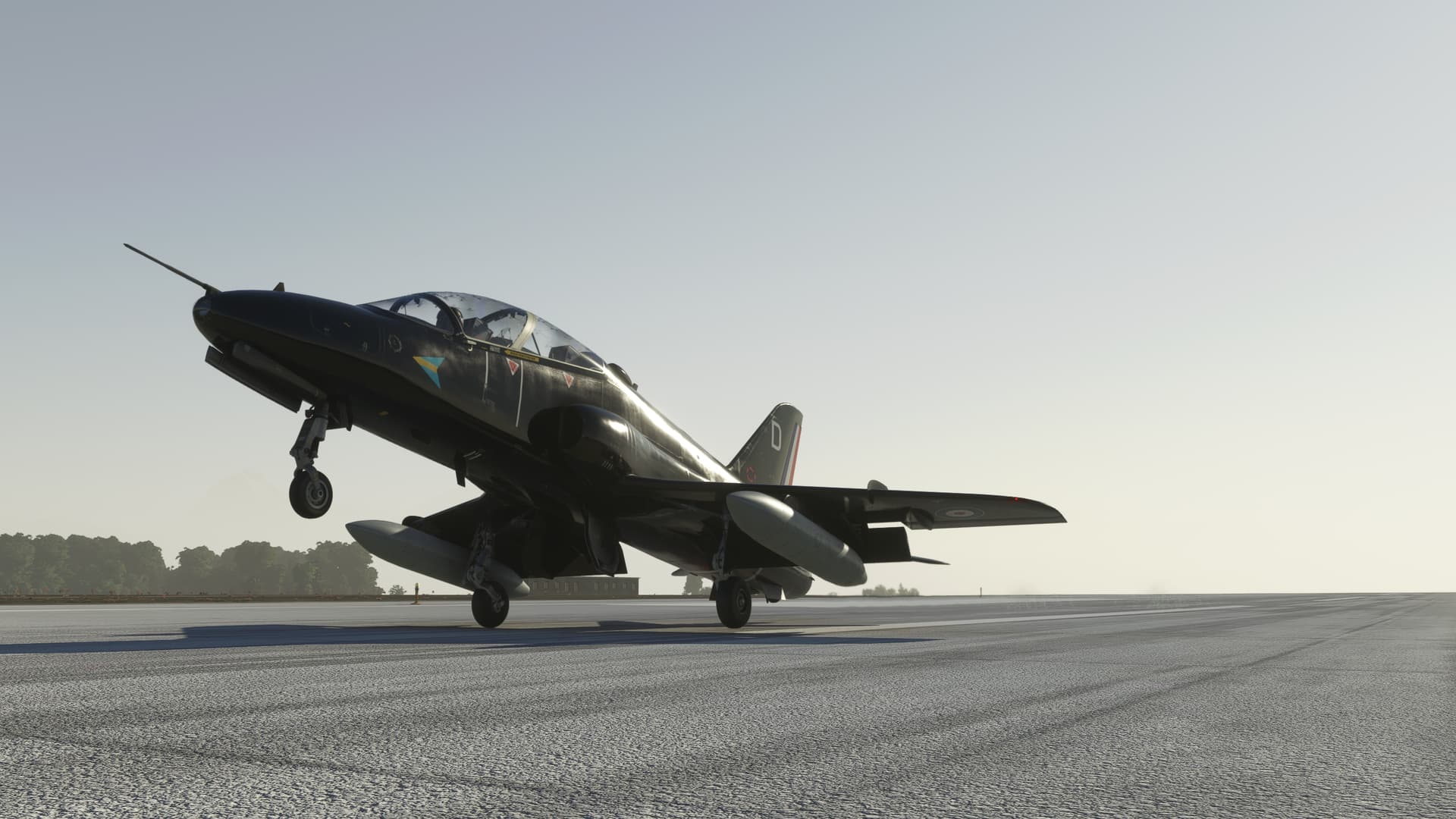
It’s close now. I almost hate to see it end.
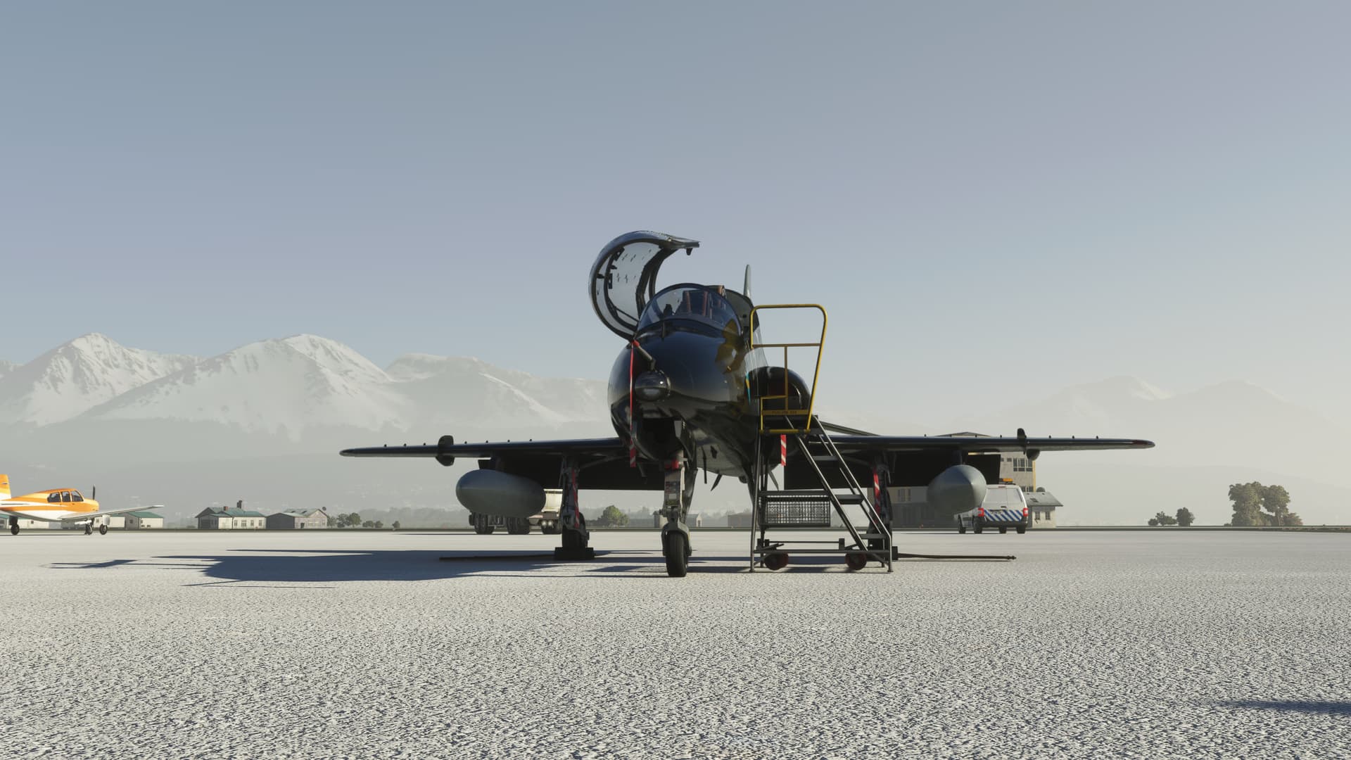
12 Likes
Nice report! A bit scary to wake up to find all those mountains around you
You are very close to the end… you need something slow to do the rest of the trip with:

9 Likes
The next leg ahead goes from the Canaries back to African mainland, Dakar. It’s another leg with a lot of sea to cover.
Take off at first light.
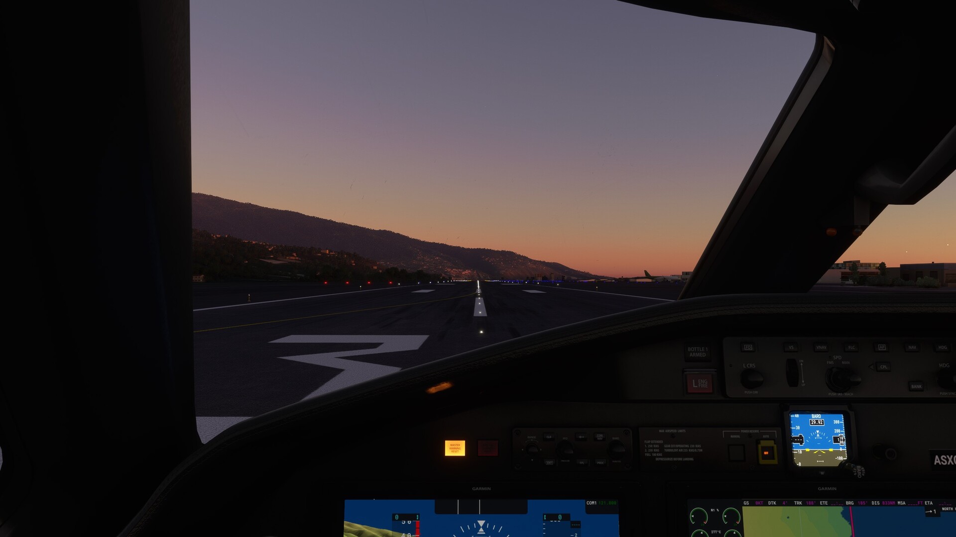
A last sight seeing trip over La Palmas.
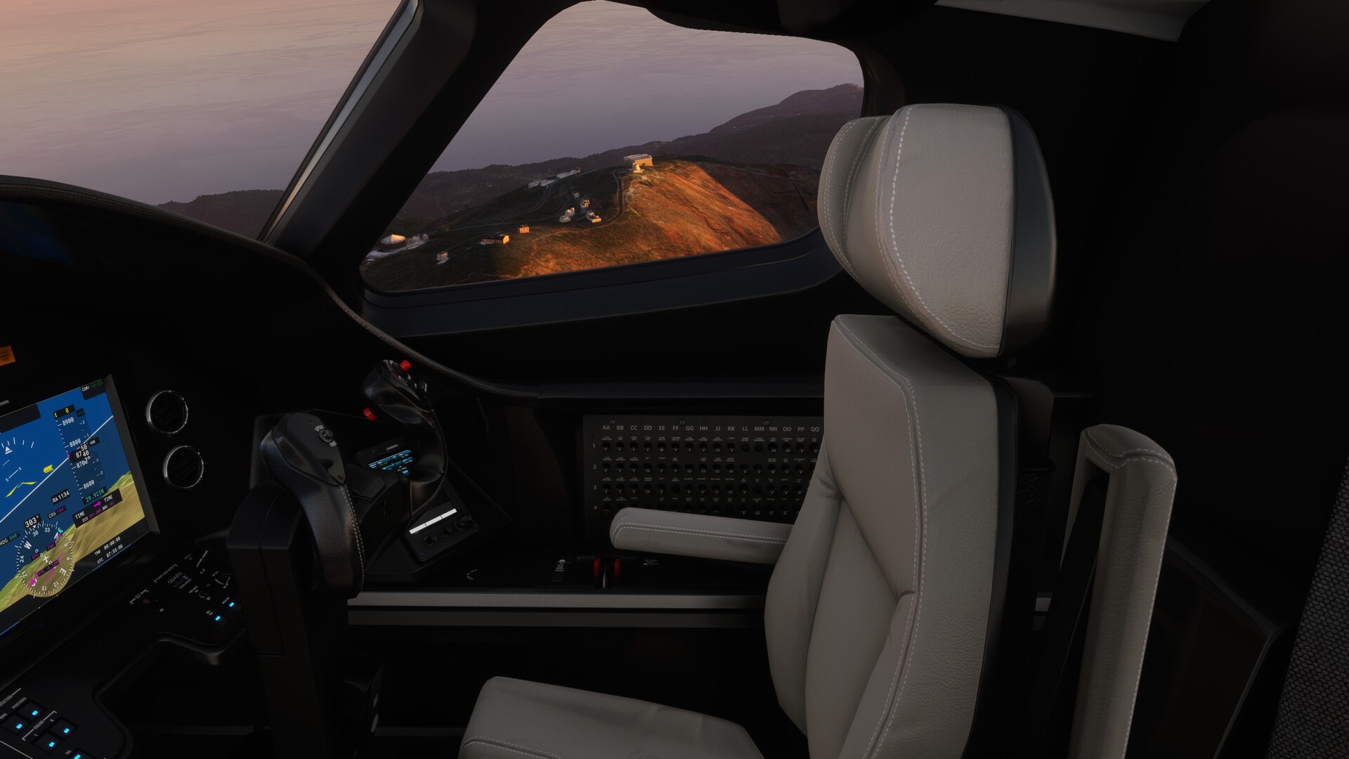
Goodbye Canaries!
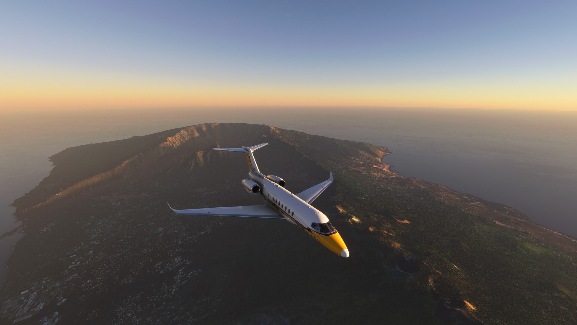
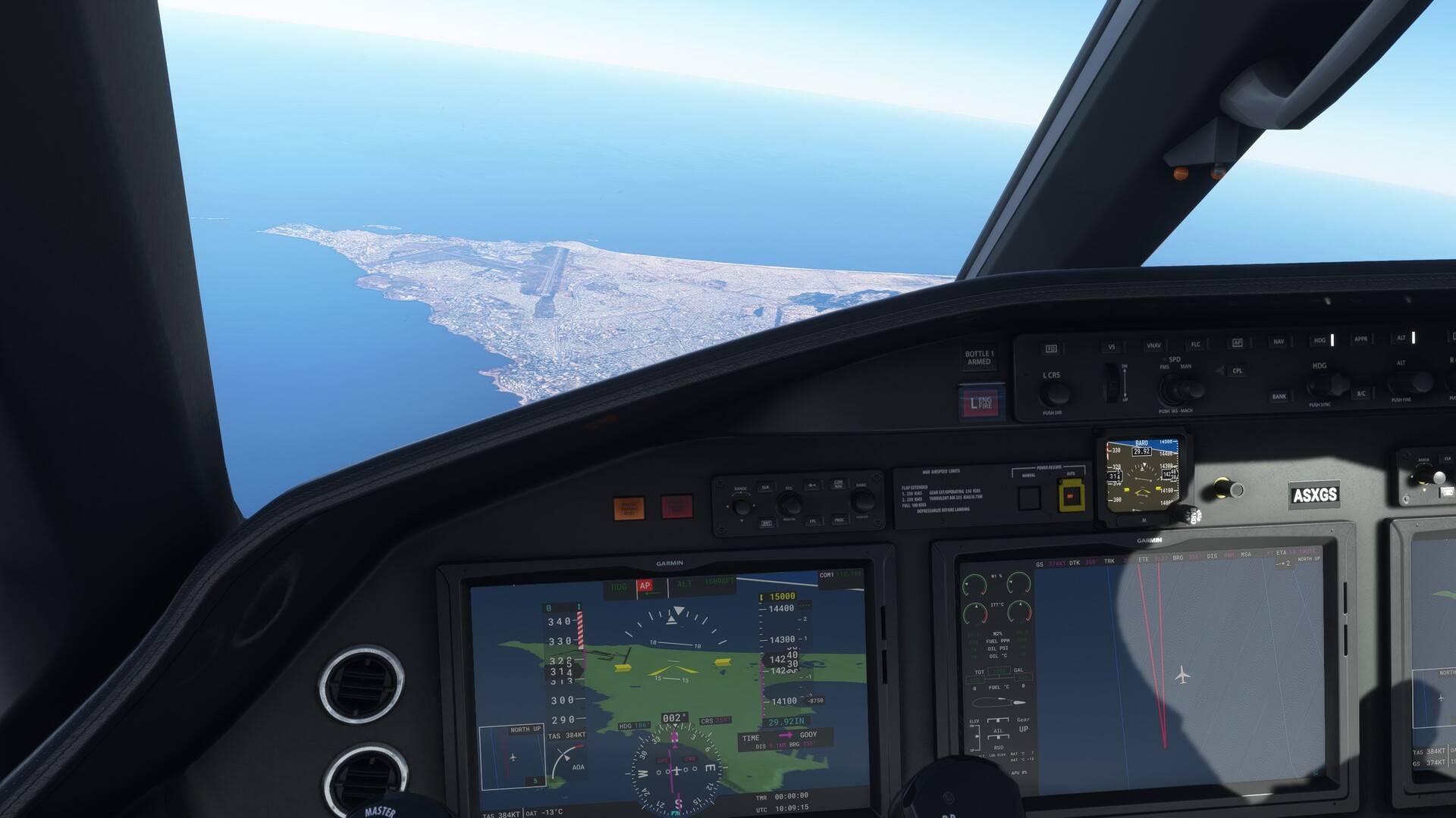
Somehow I bypassed Dakar and we’re now southwest of Dakar. We’ll have to fly the approach from the South.
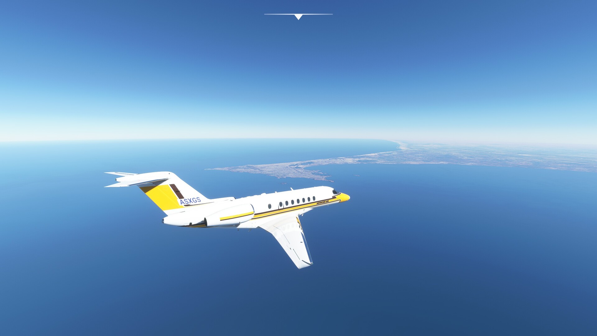
15k is a tad bit high though, so doing a full circle dropping like a stone.
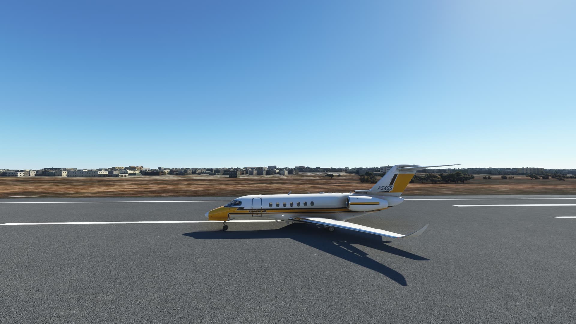
Landing under perfect sunshine was a breeze.
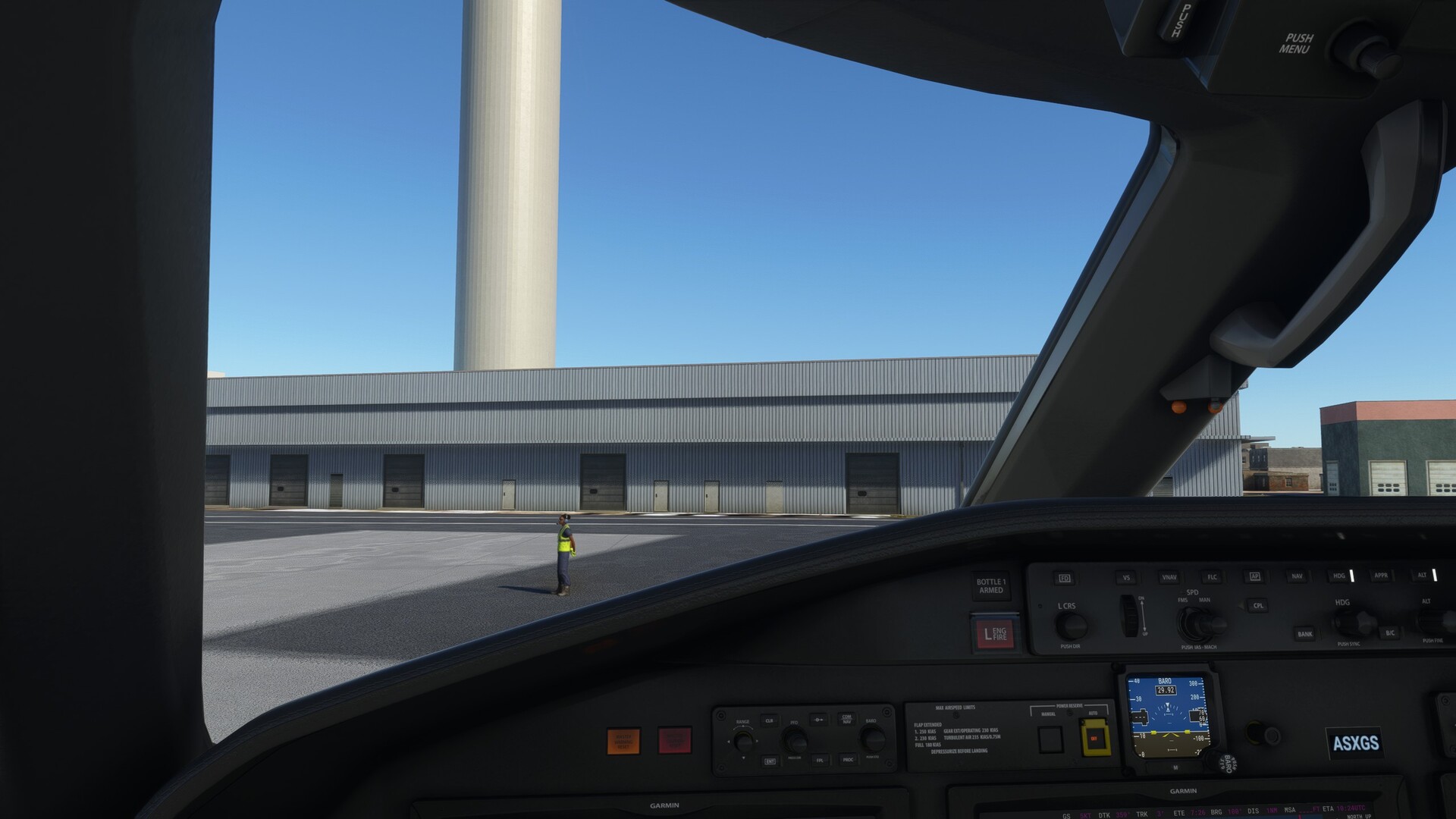
Ground crew turns a back on us, hmm?
Next is the trip across the Atlantic into Brazil. I think I stay with the Longitude, it’s quite nice to fly.
Cheers,
TeTeT
8 Likes
It’s a great sightseeing machine, isn’t it. I know it’s all “default glass cockpit” and so on, but it’s pretty nice how you can just get going and have your attention outside, taking in the sights, rather than using 120% of your mental capacity trying not to die 
I’m also a sucker for the latter, to be fair - but sometimes it’s really good just to relax and enjoy an easy ride.
2 Likes
on the road again trough Brazil 
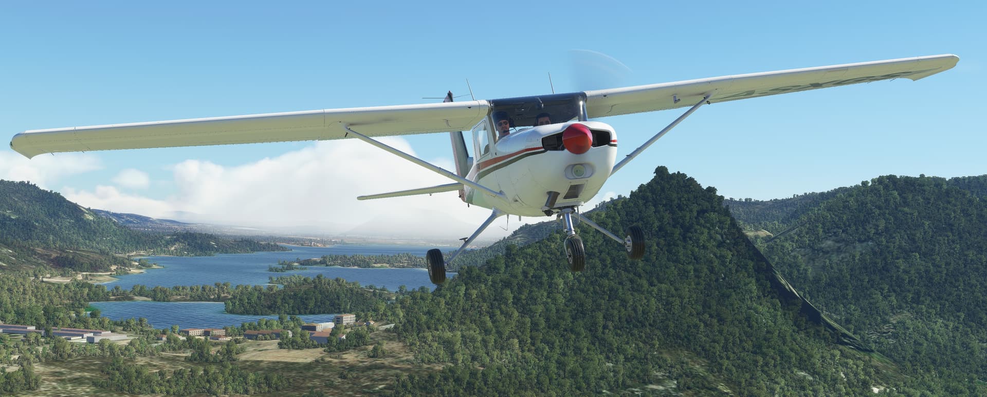
dangers of dropping medic into field are some times not obvious from air
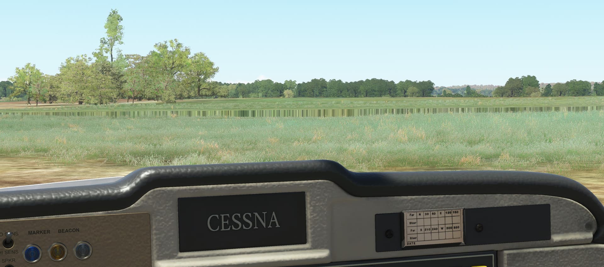
but this Cessna doesnt need that much runway… I mean apron length at Paulo Afonso airport is enough
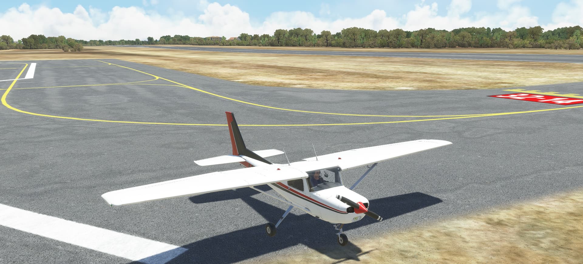
9 Likes
Is that AH you’re running? So it will generate jobs at all local airports around you? I’ve never tried it.
That might be a fun way to return home!
1 Like
thats NeoFly, basic package is free so worth a try. I have AirHauler for XP11.
I wanted to try NeoFly as it can generate jobs/missions not only to airports in your vicinity but also to the field like ‘drop medic’ missions. and the free NeoFly package comes with custom 3D objects (separate download) so there is always something on the ground (fire truck, ambulance, airplane…) where you suppose to land.
4 Likes
thats a simple autopilot panel, its very basic without any display so one really can get confused with what is set and what is happening next
3 Likes
Well, where do I begin. Awfully impressed, and entertained, by these postings for a few years now. Decided to finally get off the bleachers and try it myself. Not much flying experience, and hardly more simulator time, so there is much learning happening here. My flying is better but the landings are still not pretty. What better way to figure it all out then to head to Port Stanley!
Apparently, as a new user I can only post one picture so I have deleted all the others. Just imagine a Piper Arrow in flight in various compromising attitudes.
Leaving Newark-Heath (KVTA), three miles from my home. Resources are plentiful and spirits are high!
Does this picture look the same as the first? No, it’s a new one! But after six departures and resets due to bad bindings, buggy navigation, buying a new Piper Arrow build and my general stupidity (who knew you shouldn’t open that little window at 137n).
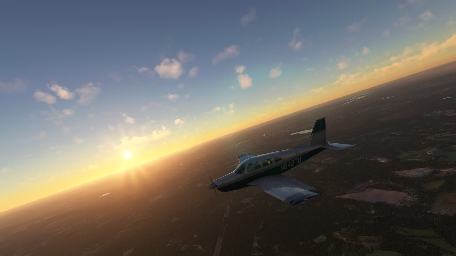
This is me finally making it to Charleston, South Carolina after all those restarts and some trouble with my fuel valve (so you click on it and it turns off but not back on, who thought up that mechanic?) just in time to land in the dark. Try real time weather and time they said. It will be fun they said.
I did execute the landing flawlessly but…much to my chagrin…forgot to put the landing gear down. Learning in action!
The next day dawned, and I was on my way to Key West. The scars from yesterday informed my flight today and things went more smoothly. I fought with the autopilot all the way to Cape Canaveral until I finally gave up and flew the rest of the way by hand (and a few sketchy landings along the way).
This new Piper Arrow build is wonderful but literally every switch is clickable. I’m certain one of them is the self-destruct button but I haven’t found it yet.
Tomorrow, on to Cuba!
12 Likes
Welcome @BierRunner! 
As you’re not introducing us to hot singles in our area, then I’ve hit the switch so you can post more than one picture.
7 Likes
Thanks muchly!